Sustainable Farming: How GIS and Crop Insurance Revolutionize Agricultural Risk Management
“GIS technology in agriculture can reduce crop losses by up to 30% through improved risk management and decision-making.”
Welcome to the future of agriculture, where cutting-edge technology meets sustainable farming practices to revolutionize the way we manage agricultural risks. At Farmonaut, we’re at the forefront of this transformation, leveraging Geographic Information Systems (GIS) and innovative crop insurance solutions to empower farmers and reshape the agricultural landscape.
In this comprehensive guide, we’ll explore how the integration of GIS technology and advanced crop insurance options is creating a paradigm shift in agricultural risk management. From protecting specialty crops to supporting urban farming initiatives, we’ll delve into the myriad ways these innovations are safeguarding farm revenue while promoting conservation efforts.
The Power of GIS in Agriculture
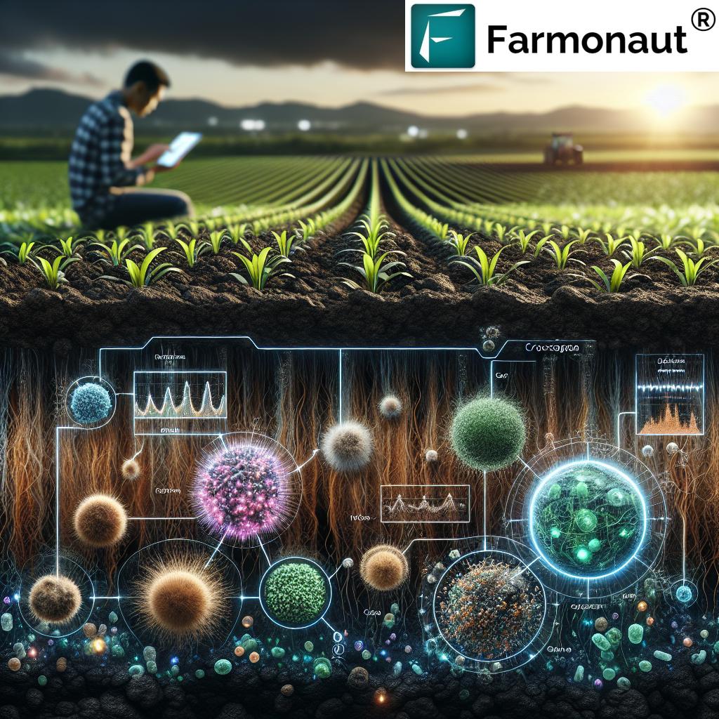
Geographic Information Systems have emerged as a game-changer in the agricultural sector. By harnessing the power of satellite imagery, spatial data analysis, and real-time monitoring, GIS technology provides farmers with unprecedented insights into their land and crops.
- Precision mapping of farmland
- Real-time crop health monitoring
- Soil composition analysis
- Weather pattern tracking
- Efficient resource allocation
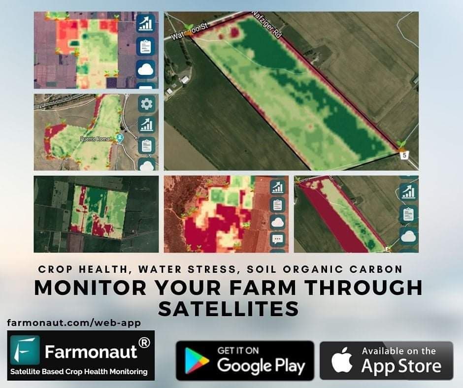
At Farmonaut, we’ve integrated these GIS capabilities into our platform, offering farmers a comprehensive toolset for making data-driven decisions. Our satellite-based crop health monitoring system provides invaluable information on vegetation health (NDVI), soil moisture levels, and other critical metrics.
Revolutionizing Crop Insurance with GIS
The integration of GIS technology into crop insurance has transformed the way we assess and manage agricultural risks. Traditional crop insurance relied heavily on historical data and broad regional statistics, often leading to inaccuracies and disputes. With GIS-enabled crop insurance, we’re ushering in a new era of precision and fairness.
Benefits of GIS-Enabled Crop Insurance:
- Accurate Risk Assessment: Satellite imagery and precise field-level data allow for more accurate evaluation of crop conditions and potential risks.
- Tailored Premiums: Insurance premiums can be customized based on the specific characteristics and historical performance of individual farms.
- Faster Claim Processing: Remote sensing technology enables rapid assessment of crop damage, streamlining the claims process.
- Fraud Reduction: Satellite imagery provides an objective record of crop conditions, reducing the potential for fraudulent claims.
- Improved Coverage for Specialty Crops: GIS technology allows for more accurate monitoring of diverse and high-value specialty crops.
Our Farmonaut platform plays a crucial role in this revolution by providing the advanced remote sensing capabilities necessary for implementing these innovative insurance solutions.

Comparative Analysis: GIS-Enabled vs. Traditional Crop Insurance
| Aspect | Traditional Insurance | GIS-Enabled Insurance |
|---|---|---|
| Risk Assessment Method | Historical data and broad regional statistics | Real-time satellite imagery and precise field-level data |
| Data Accuracy | Moderate, often generalized | High, farm-specific |
| Premium Calculation | Based on regional averages | Tailored to individual farm characteristics |
| Claim Processing Time | 30-45 days | 7-14 days |
| Sustainability Factor | Limited consideration | Promotes sustainable practices through data-driven insights |
| Climate Adaptation Potential | Reactive | Proactive, with real-time climate data integration |
| Specialty Crop Coverage | Limited | Comprehensive, with precise monitoring capabilities |
| Urban Farming Applicability | Minimal | Highly applicable, with granular data for small-scale operations |
As evident from the comparison, GIS-enabled crop insurance offers significant advantages over traditional methods, particularly in terms of accuracy, efficiency, and adaptability to diverse farming contexts.
Sustainable Farming Practices and Risk Management
“Sustainable farming practices promoted by Farmonaut can increase farm revenue by 15-25% while supporting environmental conservation efforts.”
At Farmonaut, we believe that sustainable farming practices are not just good for the environment – they’re essential for long-term agricultural risk management. Our platform integrates sustainability metrics into its risk assessment models, encouraging farmers to adopt practices that benefit both their bottom line and the planet.
Key Sustainable Farming Practices:
- Cover cropping to improve soil health
- Precision irrigation for water conservation
- Integrated pest management to reduce chemical use
- Crop rotation for soil nutrient management
- Agroforestry to enhance biodiversity
By implementing these practices, farmers can reduce their vulnerability to climate-related risks, improve crop resilience, and potentially qualify for lower insurance premiums. Our GIS technology plays a crucial role in monitoring and verifying these sustainable practices, providing tangible data to support insurance assessments.
Specialty Crop Protection: A New Frontier
Specialty crops, including fruits, vegetables, tree nuts, and nursery crops, present unique challenges for traditional crop insurance models. These high-value crops often require specialized care and are particularly vulnerable to environmental stressors. Farmonaut’s GIS technology is revolutionizing specialty crop protection by providing:
- High-resolution imagery for detailed crop monitoring
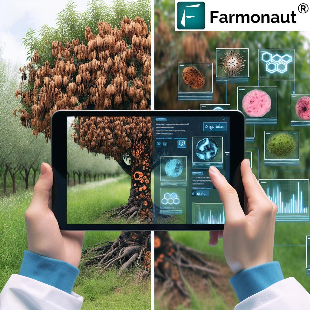
- Early detection of pest infestations and diseases
- Precise yield predictions for better risk assessment
- Tailored insurance products for specific specialty crops
Our platform’s advanced capabilities enable insurance providers to offer more comprehensive coverage for specialty crop farmers, helping to safeguard these valuable agricultural assets.
Urban Farming Resources and Risk Management
The rise of urban farming presents new opportunities and challenges for agricultural risk management. Farmonaut recognizes the unique needs of urban farmers and provides specialized resources to support their operations:
- Micro-scale GIS mapping for small urban plots
- Vertical farming monitoring solutions
- Rooftop garden assessment tools
- Urban-specific climate and pollution data integration
By leveraging our GIS technology, urban farmers can access tailored crop insurance options that account for the specific risks associated with city-based agriculture. This support is crucial for promoting food security and sustainability in urban environments.

Climate-Related Risk Management Strategies
As climate change continues to pose significant challenges to agriculture, effective risk management strategies are more important than ever. Farmonaut’s GIS technology plays a crucial role in helping farmers adapt to and mitigate climate-related risks:
Key Climate Risk Management Tools:
- Long-term weather pattern analysis
- Drought and flood risk mapping
- Crop variety suitability assessment based on climate projections
- Carbon sequestration monitoring for sustainable practices
By integrating these tools into our platform, we empower farmers to make informed decisions about crop selection, planting schedules, and risk mitigation strategies. This proactive approach to climate risk management is essential for ensuring long-term agricultural sustainability.
Natural Disaster Relief and Recovery
When natural disasters strike, rapid response and accurate damage assessment are crucial for farmers’ recovery. Farmonaut’s GIS technology provides invaluable support in these critical situations:
- Real-time disaster impact mapping
- Rapid crop damage assessment
- Prioritization of relief efforts based on severity
- Historical data analysis for future preparedness
Our platform’s capabilities enable insurance providers and government agencies to quickly assess damage and process claims, ensuring that farmers receive the support they need to recover and rebuild.
Precision Farming Techniques for Risk Reduction
Precision farming is at the heart of modern agricultural risk management. By leveraging Farmonaut’s advanced GIS technology, farmers can implement precision techniques that not only boost yields but also significantly reduce risks:
Key Precision Farming Applications:
- Variable rate application of inputs (fertilizers, pesticides)
- Site-specific crop management
- Automated irrigation systems based on soil moisture data
- Yield mapping and analysis
These precision techniques allow farmers to optimize resource use, minimize environmental impact, and reduce the likelihood of crop failures. Our platform’s integration of these tools with crop insurance models creates a powerful synergy for comprehensive risk management.
Policy Updates and Commodity Trends
Staying informed about agricultural policy changes and commodity market trends is crucial for effective risk management. Farmonaut’s platform provides farmers with up-to-date information and analysis on:
- Changes in crop insurance regulations
- Government subsidy programs
- Commodity price forecasts
- International trade policies affecting agriculture
By providing this valuable information alongside our GIS and risk management tools, we empower farmers to make informed decisions about crop selection, insurance coverage, and market strategies.
Emerging Opportunities in Organic and Specialty Crops
The growing demand for organic and specialty crops presents exciting opportunities for farmers. However, these crops often come with unique risks and challenges. Farmonaut’s GIS technology and risk management tools are particularly valuable in this sector:
- Organic certification compliance monitoring
- Specialty crop disease and pest tracking
- Market demand analysis for niche products
- Supply chain traceability for premium products
Our platform helps farmers navigate the complexities of organic and specialty crop production, providing the data and insights needed to manage risks effectively and capitalize on market opportunities.
Empowering Your Farming Future with Farmonaut
As we’ve explored throughout this guide, the integration of GIS technology and innovative crop insurance solutions is revolutionizing agricultural risk management. At Farmonaut, we’re committed to making these powerful tools accessible to farmers of all scales, from urban gardeners to large-scale commercial operations.
Our platform offers:
- Real-time crop health monitoring
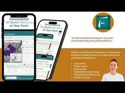
- AI-driven farm advisory services
- Blockchain-based traceability solutions
- Advanced risk assessment tools for insurance providers
- Sustainability tracking and reporting
By leveraging these technologies, farmers can make data-driven decisions, mitigate risks more effectively, and build more resilient and sustainable agricultural operations.
Get Started with Farmonaut
Ready to revolutionize your approach to agricultural risk management? Explore our range of solutions:


For developers and businesses looking to integrate our powerful GIS and agricultural data into their own systems, explore our API and API Developer Docs.
Farmonaut Subscriptions
FAQs
Q: How does GIS technology improve crop insurance?
A: GIS technology enhances crop insurance by providing accurate, real-time data on crop health, field conditions, and environmental factors. This leads to more precise risk assessments, fairer premiums, and faster claim processing.
Q: Can Farmonaut’s solutions be used for small-scale or urban farming?
A: Yes, Farmonaut’s technology is scalable and can be applied to farms of all sizes, including urban agriculture projects. We offer specialized tools for small-scale and urban farming operations.
Q: How does sustainable farming relate to risk management?
A: Sustainable farming practices often lead to improved soil health, better water management, and increased biodiversity. These factors contribute to more resilient crops and reduced vulnerability to environmental risks, ultimately improving overall risk management.
Q: What types of crops can benefit from GIS-enabled insurance?
A: All types of crops can benefit from GIS-enabled insurance, including traditional row crops, specialty crops, and even livestock operations. The technology is particularly valuable for high-value or sensitive crops that require precise monitoring.
Q: How does Farmonaut help farmers adapt to climate change?
A: Farmonaut provides long-term weather pattern analysis, climate risk mapping, and crop suitability assessments based on climate projections. These tools help farmers make informed decisions about crop selection and management strategies in the face of changing climate conditions.
As we continue to push the boundaries of agricultural technology, Farmonaut remains committed to empowering farmers with the tools and insights they need to thrive in an ever-changing world. By embracing GIS technology and innovative crop insurance solutions, we’re not just managing risks – we’re cultivating a more sustainable and resilient future for agriculture.


