Revolutionizing Agriculture: Farmonaut’s Journey in Bringing Satellite Technology to Farmers

In the ever-evolving landscape of agriculture, technology has emerged as a powerful ally for farmers worldwide. At the forefront of this agricultural revolution stands Farmonaut, a pioneering company that has successfully brought satellite technology directly to the fingertips of farmers. Today, we’ll delve deep into Farmonaut’s journey, exploring the challenges, innovations, and partnerships that have shaped this groundbreaking initiative.
The Genesis of Farmonaut
Farmonaut was born out of a vision to democratize access to advanced agricultural technologies. We recognized the potential of satellite data in revolutionizing farming practices and set out on a mission to make this technology accessible and affordable for farmers of all scales.
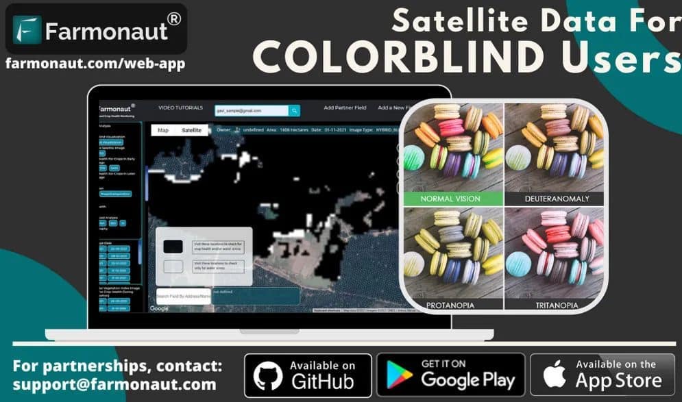
Our journey began with the development of user-friendly platforms across multiple devices. We created:
- An Android app (available on Google Play)
- An iOS app (available on the App Store)
- A comprehensive web platform
These platforms serve as the gateway for farmers to access crucial satellite data that can transform their agricultural practices.
The Power of Satellite Technology in Agriculture
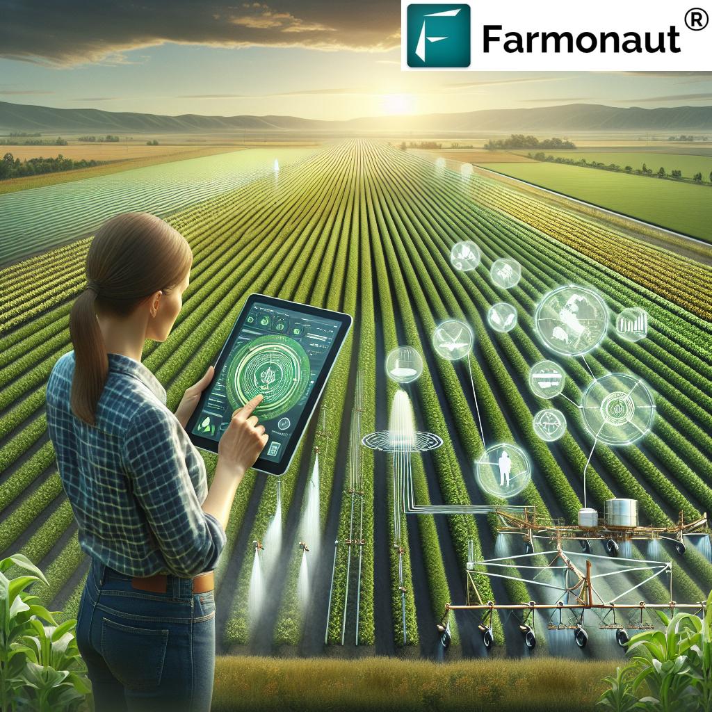
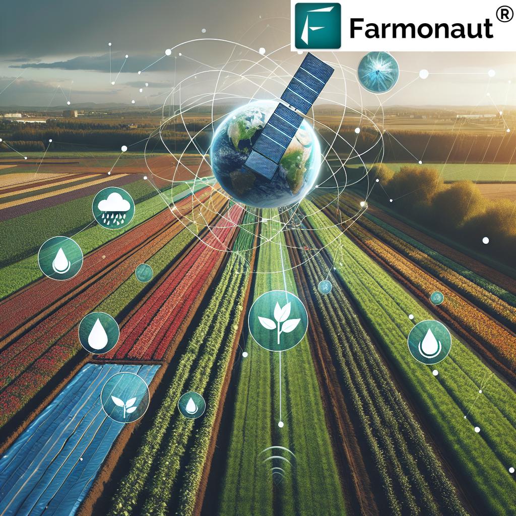
At the heart of Farmonaut’s offerings is the innovative use of satellite technology for farming satellite agriculture. This technology allows us to provide farmers with invaluable insights into their fields, enabling them to make informed decisions that can significantly improve crop yields and resource management.
Key Features of Farmonaut’s Satellite Technology
- Real-time Crop Health Monitoring: Our satellite imagery provides up-to-date information on crop health, allowing farmers to quickly identify and address issues.
- Soil Moisture Analysis: By analyzing satellite data, we can provide accurate soil moisture information, helping farmers optimize their irrigation practices.
- Weather Forecasting: Our system integrates weather data to provide accurate forecasts, enabling farmers to plan their activities more effectively.
- Crop Yield Prediction: Using advanced algorithms, we can predict crop yields, helping farmers and agribusinesses in their planning and decision-making processes.
The Application of NDVI in Remote Sensing
One of the key technologies we employ is the application of NDVI in remote sensing. NDVI, or Normalized Difference Vegetation Index, is a simple but powerful indicator used to analyze remote sensing measurements and assess whether the observed target contains live green vegetation or not.
Here’s how NDVI works and why it’s crucial for agriculture:
- NDVI is calculated from the visible and near-infrared light reflected by vegetation.
- Healthy vegetation absorbs most of the visible light that hits it and reflects a large portion of near-infrared light.
- Unhealthy or sparse vegetation reflects more visible light and less near-infrared light.
- By analyzing these reflection patterns, we can accurately assess crop health and vigor.
Our use of NDVI allows farmers to:
- Identify areas of stress in their crops before they become visible to the naked eye
- Monitor crop growth and development throughout the growing season
- Make informed decisions about irrigation, fertilization, and pest management
- Predict crop yields more accurately
Farmonaut’s Crop Analysis Software
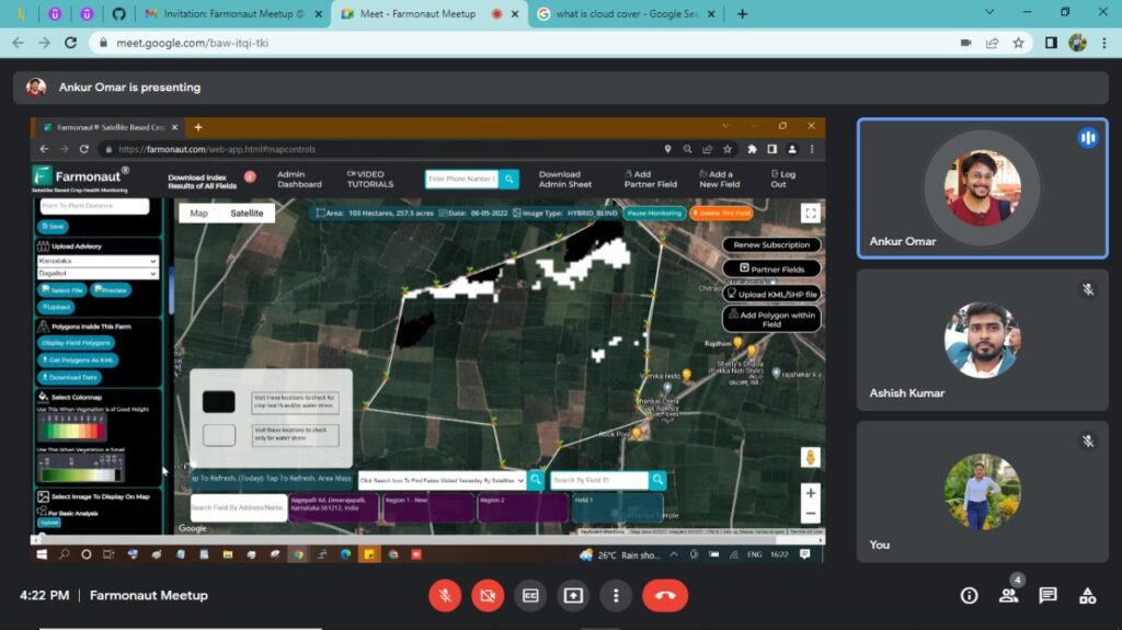
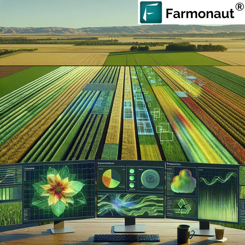
At the core of our offerings is our advanced crop analysis software. This powerful tool processes the satellite data we collect and translates it into actionable insights for farmers. Our software is designed to be user-friendly, ensuring that farmers of all technical backgrounds can benefit from its capabilities.
Key Features of Our Crop Analysis Software
- Intuitive Interface: We’ve designed our software with simplicity in mind, ensuring that farmers can easily navigate and understand the data presented.
- Customizable Reports: Farmers can generate custom reports based on their specific needs and preferences.
- Historical Data Analysis: Our software allows farmers to compare current crop conditions with historical data, enabling them to identify trends and make more informed decisions.
- Alert System: The software includes an alert system that notifies farmers of potential issues, such as pest infestations or nutrient deficiencies, allowing for prompt action.
- Integration with Other Farm Management Tools: Our software can be integrated with other farm management tools, providing a comprehensive solution for farm management.
The Remote Farm Tracker Unit
While satellite technology forms the backbone of our services, we understand that sometimes, more localized data is necessary. That’s where our remote farm tracker unit comes into play. This innovative device complements our satellite data by providing on-the-ground measurements and observations.
Features of the Remote Farm Tracker Unit
- Real-time Data Collection: The unit collects data on soil moisture, temperature, and other crucial parameters in real-time.
- Wireless Connectivity: Data is transmitted wirelessly to our central system, ensuring that farmers have access to the most up-to-date information.
- Long Battery Life: The unit is designed for long-term deployment in the field, with a battery life that can last an entire growing season.
- Rugged Design: Built to withstand harsh agricultural environments, our remote farm tracker unit is durable and reliable.
- Easy Integration: The data collected by the unit is seamlessly integrated with our satellite data, providing a comprehensive view of farm conditions.
Free Satellite Imagery for Farms
At Farmonaut, we believe in making advanced agricultural technology accessible to all farmers. That’s why we offer free satellite imagery for farms as part of our basic package. This initiative allows farmers to experience the benefits of satellite technology without any initial financial commitment.
What’s Included in Our Free Satellite Imagery Package?
- Basic NDVI analysis of farmland
- Monthly updates of satellite imagery
- Access to historical satellite data (up to 3 months)
- Basic crop health assessment reports
While our free package provides valuable insights, we encourage farmers to explore our premium offerings for more frequent updates, advanced analysis tools, and personalized support.
Farmonaut’s Global Impact
Our commitment to revolutionizing agriculture extends beyond national borders. We’re proud to have monitored lakhs of hectares of farmlands not just in India, but internationally as well. Our recent partnerships in Uzbekistan and Australia are testament to the global applicability and demand for our technology.
Partnership in Uzbekistan
Our collaboration in Uzbekistan marks a significant milestone in our international expansion. Uzbekistan, with its rich agricultural heritage and growing focus on modernization, provides an ideal landscape for the implementation of our satellite-based farming solutions.
Key aspects of our Uzbekistan partnership include:
- Adaptation of our technology to local crop varieties and farming practices.
- Training programs for local farmers and agricultural experts.
Expansion into Australia
Our partnership in Australia represents our entry into one of the world’s most advanced agricultural markets. Australian farmers are known for their early adoption of agricultural technologies, making it an exciting frontier for Farmonaut.
Our initiatives in Australia focus on:
- Tailoring our solutions to Australia’s unique climate and agricultural challenges
- Integration with existing precision agriculture systems widely used in Australia
- Collaboration with Australian agtech company to enhance our offerings
- Supporting sustainable farming practices in water-scarce regions.
Overcoming Challenges: Convincing Farmers to Adopt New Technologies
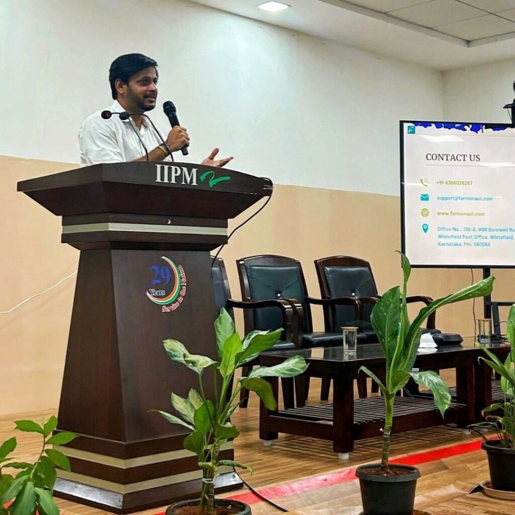
One of the most significant challenges we’ve faced at Farmonaut is convincing farmers to adopt new technologies. As Ankur Omar, a key figure at Farmonaut, explains, this process involves overcoming several hurdles:
1. Breaking Traditional Mindsets
Many farmers, especially in developing countries, have been using traditional farming methods passed down through generations. Convincing them to adopt new technologies requires demonstrating clear, tangible benefits.
2. Addressing the Technology Gap
Not all farmers are tech-savvy. We’ve had to design our platforms to be as user-friendly as possible and provide extensive training and support to help farmers get comfortable with the technology.
3. Proving Return on Investment
Farmers need to see that investing in new technology will pay off. We’ve focused on showcasing real-world examples of how our technology has improved crop yields and reduced costs for other farmers.
4. Overcoming Infrastructure Limitations
In some regions, limited internet connectivity and smartphone penetration pose challenges. We’ve had to work on solutions that can function effectively even in areas with poor connectivity.
5. Building Trust
Farmers often rely on personal relationships and word-of-mouth recommendations. Building trust within farming communities has been crucial to our success.
Farmonaut’s Technological Edge: Satellite vs. Drone and IoT
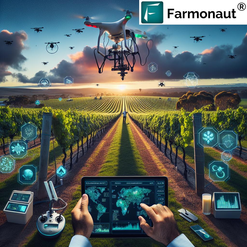
While drones and IoT devices have their place in modern agriculture, Farmonaut’s satellite-based system offers several unique advantages. Here’s a comparison of these technologies:
| Feature | Farmonaut Satellite System | Drone-based Monitoring | IoT-based Monitoring |
|---|---|---|---|
| Coverage Area | Large scale (thousands of hectares) | Limited (typically under 100 hectares per flight) | Limited to sensor placement |
| Frequency of Data Collection | Regular (every few days, depending on satellite pass) | On-demand, but requires manual operation | Continuous, real-time |
| Initial Setup Cost | Low (no hardware required) | High (drone purchase and training) | Medium to High (sensors and network setup) |
| Operational Complexity | Low (automated data collection and analysis) | High (requires skilled operator and flight planning) | Medium (requires maintenance and troubleshooting) |
| Weather Dependency | Low (can penetrate clouds to some extent) | High (affected by wind, rain, etc.) | Low (but sensors can be affected by extreme conditions) |
| Data Consistency | High (standardized data collection) | Variable (depends on flight conditions) | High (but limited to sensor locations) |
| Scalability | Highly scalable (no additional hardware needed) | Limited (requires more drones and operators for larger areas) | Moderate (requires additional sensors for larger areas) |
The Future of Farming with Farmonaut
As we look to the future, Farmonaut remains committed to pushing the boundaries of agricultural technology. Our vision extends beyond just providing data – we aim to create a comprehensive ecosystem that supports every aspect of modern farming.
Upcoming Innovations
- AI-Powered Predictive Analytics: We’re developing advanced AI algorithms that can predict crop diseases and pest infestations before they become visible, allowing for preemptive action.
- Integration with Autonomous Farming Equipment: Our future plans include integrating our satellite data with autonomous tractors and other farming equipment, enabling precise and automated field operations.
- Blockchain for Supply Chain Transparency: We’re exploring the use of blockchain technology to provide end-to-end traceability in the agricultural supply chain, from farm to table.
- Climate Change Adaptation Tools: As climate change continues to impact agriculture, we’re developing tools to help farmers adapt their practices to changing environmental conditions.
- Expansion of Our API Services: We’re continuously enhancing our API offerings, allowing developers and businesses to integrate our satellite and weather data into their own systems and applications.
Join the Agricultural Revolution with Farmonaut
Are you ready to transform your farming practices with the power of satellite technology? Farmonaut offers a range of subscription plans to suit farms of all sizes and types. Whether you’re a small-scale farmer looking to optimize your crop yields or a large agribusiness seeking comprehensive farm management solutions, we have a plan for you.
FAQ: Frequently Asked Questions about Farmonaut
Q: How accurate is Farmonaut’s satellite data?
A: Our satellite data is highly accurate, with resolution down to 10 meters. However, factors like cloud cover can occasionally affect image quality. We use advanced algorithms to ensure the highest possible accuracy in our analysis.
Q: How often is the satellite data updated?
A: The frequency of updates depends on your subscription plan. Our basic plans offer monthly updates, while premium plans can provide updates as frequently as every 3-5 days.
Q: Can Farmonaut’s technology be used for all types of crops?
A: Yes, our technology is applicable to a wide range of crops. We continuously update our algorithms to accommodate different crop types and growth stages.
Q: Is internet connectivity required to use Farmonaut?
A: While an internet connection is needed to receive updates and access our full suite of features, our mobile app allows for offline viewing of previously downloaded data.
Q: How does Farmonaut protect farmers’ data privacy?
A: We take data privacy very seriously. All farmer data is encrypted and stored securely. We never share individual farm data without explicit permission from the farmer.
Q: Can Farmonaut integrate with other farm management software?
A: Yes, we offer API integration options for businesses and developers. Check out our API documentation for more information.
Conclusion: Empowering Farmers with Cutting-Edge Technology
Farmonaut’s journey in bringing satellite technology to farmers worldwide is a testament to the power of innovation in agriculture. By providing affordable, accessible, and user-friendly tools for precision farming, we’re empowering farmers to make data-driven decisions that improve crop yields, reduce resource waste, and increase profitability.
As we continue to expand our services and partnerships globally, we remain committed to our core mission: revolutionizing agriculture through technology. Whether you’re a small-scale farmer in India or a large agribusiness in Australia, Farmonaut is here to help you harness the power of satellite technology for smarter, more sustainable farming.
Join us in shaping the future of agriculture. Explore our web platform, download our app for Android or iOS, and discover how Farmonaut can transform your farming practices today


