Revolutionizing Agriculture: Farmonaut’s Game-Changing Satellite-Based Farm Reports
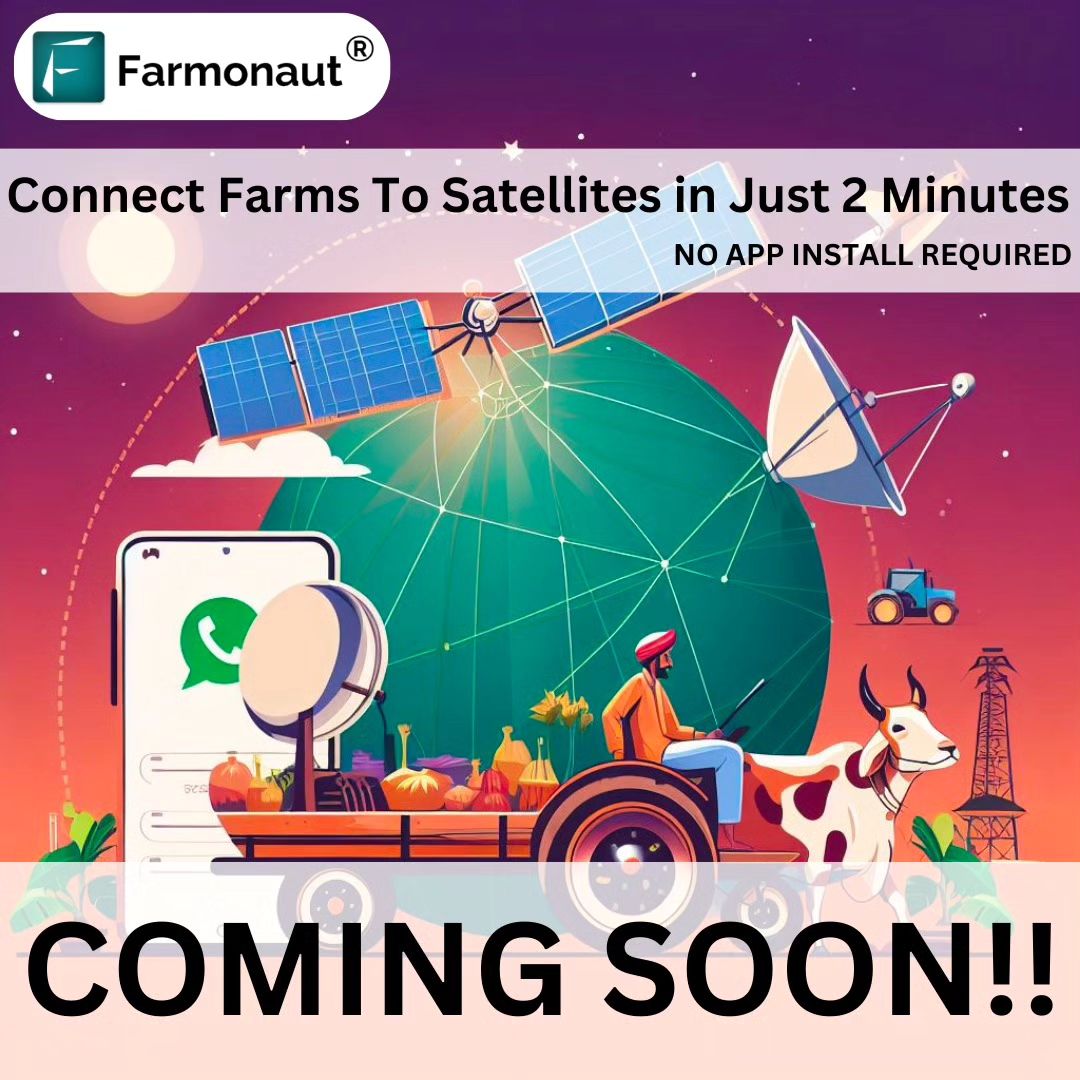
We’re thrilled to announce that something BIG is coming soon from Farmonaut! As pioneers in agricultural technology, we’re about to unveil a groundbreaking advancement that will transform the way farmers manage their crops and make critical decisions. Our latest innovation combines the power of satellite imagery, artificial intelligence, and user-friendly design to bring you instant, hassle-free satellite-based farm reports like never before.
What’s Coming: A Sneak Peek into the Future of Farming
At Farmonaut, we’ve always been committed to making precision agriculture accessible and affordable for farmers worldwide. Our upcoming release takes this commitment to a whole new level. Here’s what you can expect:
- Instant, hassle-free satellite-based farm reports: Get comprehensive insights into your farm’s health and performance with just a few clicks.
- No app installation needed: Access our powerful tools from the comfort of your home, using any web browser.
- Multi-language support: We’re breaking down language barriers to ensure farmers across the globe can benefit from our technology.
- Lightning-fast processing: From mapping to report generation, everything happens in just 2 minutes!
The Power of Satellite Imagery for Farming
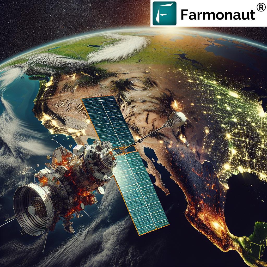
Our new system leverages advanced
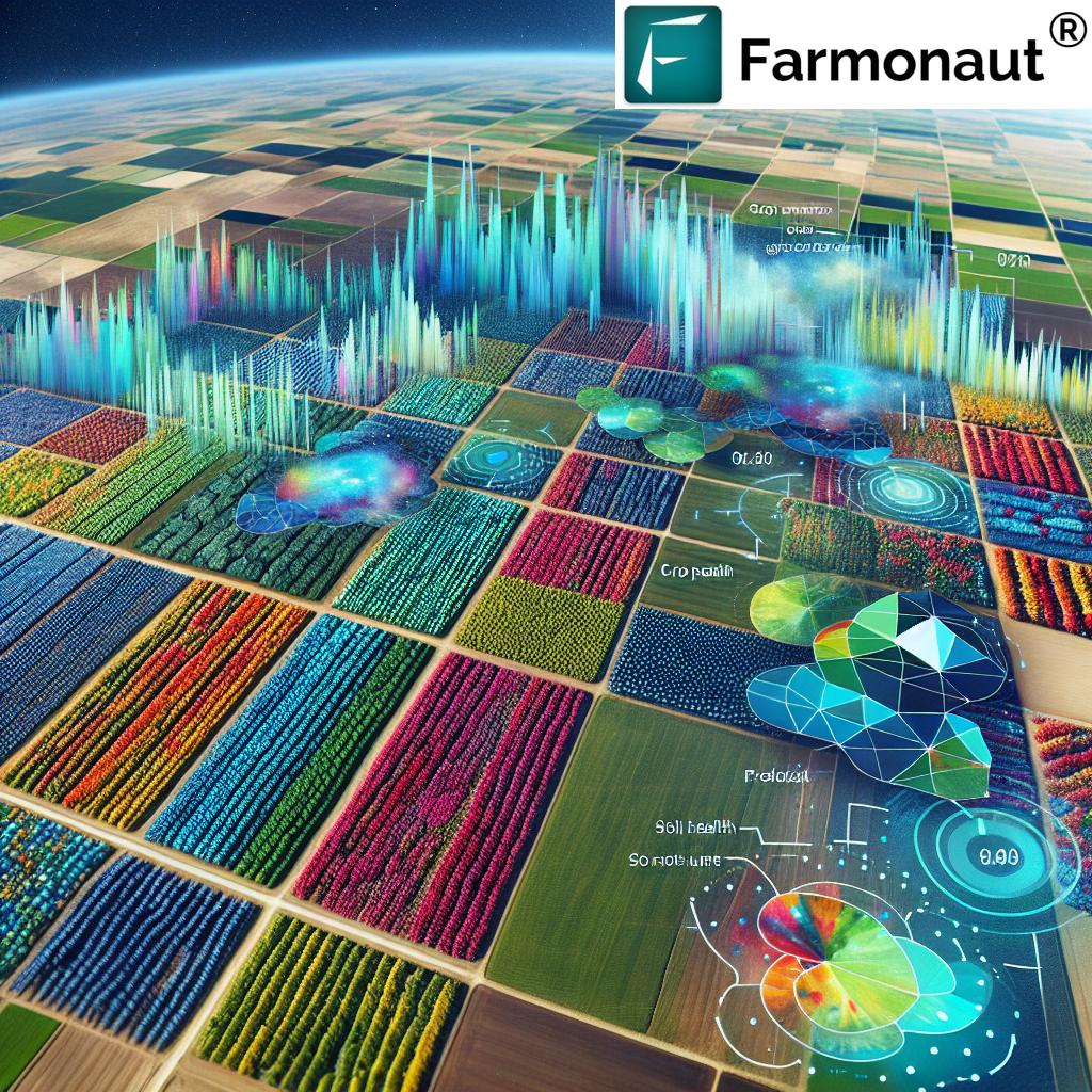
satellite imagery for farming, revolutionizing the way we monitor and manage agricultural lands. This technology offers numerous benefits:
- Wide coverage: Satellite imagery can cover vast areas quickly, making it ideal for large-scale farms and regional agricultural monitoring.
- Frequent updates: Regular satellite passes provide up-to-date information on crop health and field conditions.
- Non-invasive monitoring: Unlike ground-based methods, satellite monitoring doesn’t disturb crops or soil.
- Cost-effective: Compared to drone or IoT-based solutions, satellite imagery offers a more affordable option for comprehensive farm monitoring.
- Historical data: Access to archived satellite imagery allows for long-term trend analysis and informed decision-making.
Farmonaut’s Satellite Crop Monitoring System: A Game-Changer for Global Agriculture
Our
satellite crop monitoring system Global is set to transform the agricultural landscape across the country. Here’s how:
- Tailored for Global Conditions: Our system is specifically calibrated for the diverse agricultural regions and crop types found in Global
- Support for local crops: From rice paddies in the south to wheat fields in the north, our system can monitor and analyze a wide range of crops cultivated global
- Integration with local weather data: Our system combines satellite imagery with localized weather forecasts to provide more accurate and relevant insights.
- Vernacular language support: To ensure accessibility, our reports and interface will be available in multiple Global languages.
Revolutionizing Farm Management Services in Tamil Nadu
As part of our commitment to serving farmers across India, we’re excited to offer specialized
farm management services in Tamil Nadu. Our system takes into account the unique agricultural practices and challenges of the region, providing:
- Crop-specific insights: Tailored advice for popular Tamil Nadu crops like paddy, sugarcane, and cotton.
- Water management tools: Given the importance of water conservation in the region, our system offers advanced irrigation scheduling and water usage optimization features.
- Pest and disease alerts: Early warning systems for common pests and diseases affecting crops in Tamil Nadu.
- Market integration: Tools to help farmers connect with local markets and make informed decisions about crop sales.
The Science Behind Our System: Crop Monitoring Using Remote Sensing
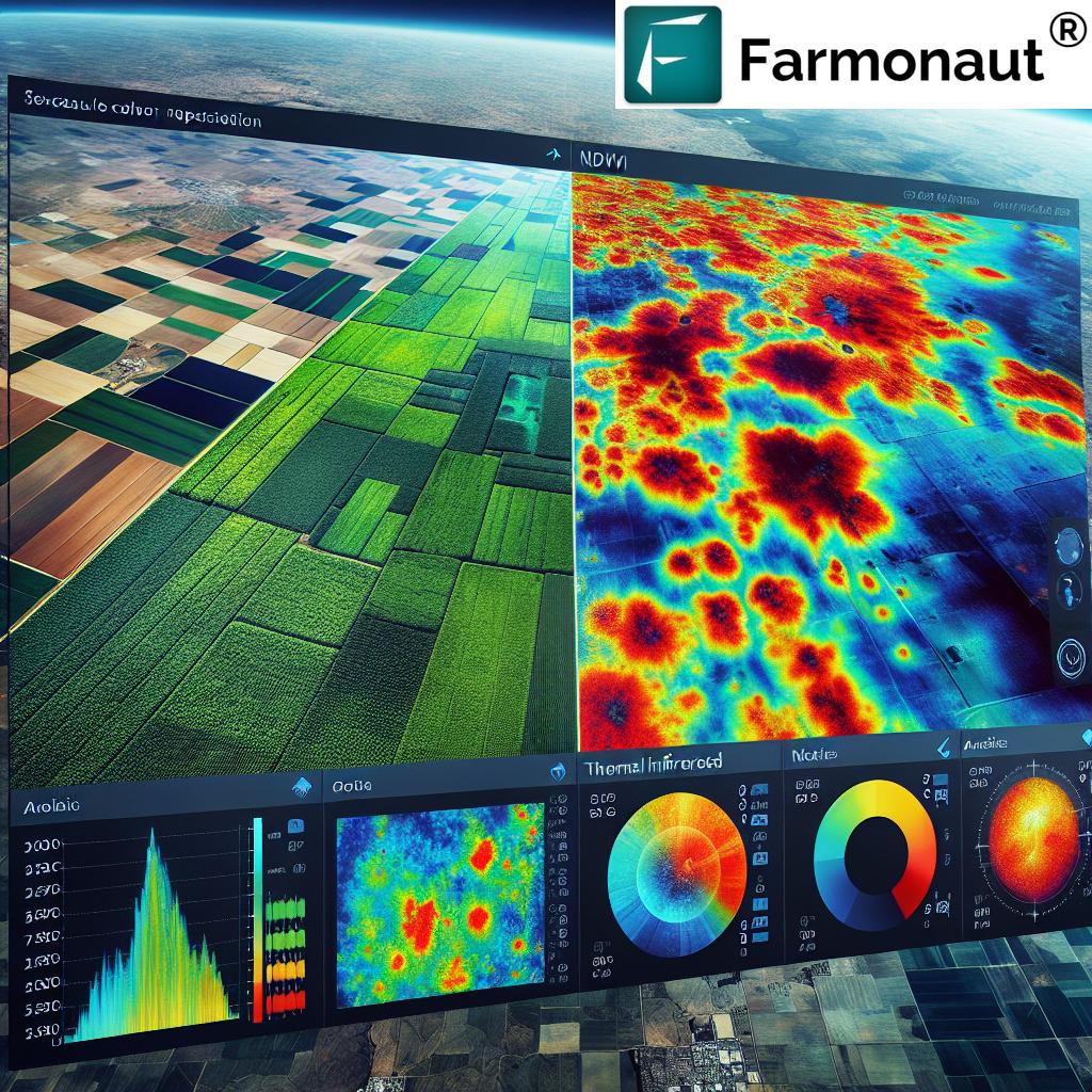
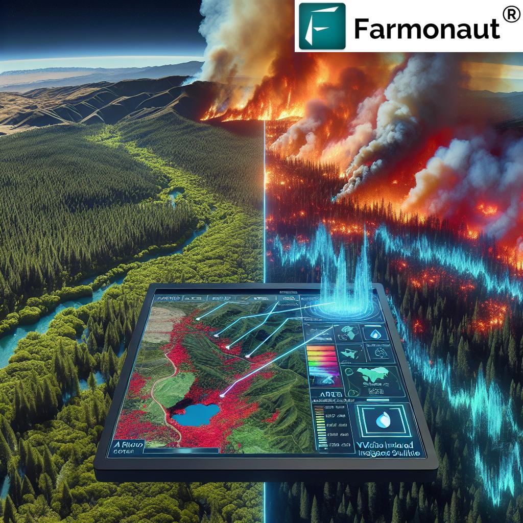
Crop monitoring using remote sensing is at the heart of our innovative system. This technology allows us to gather crucial data about crop health, soil moisture, and potential issues without setting foot in the field. Here’s how it works:
- Multispectral imaging: Satellites capture images of farmland using different spectral bands, including visible light and near-infrared.
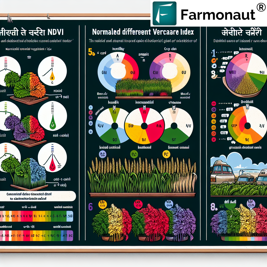
- Vegetation indices: We use various indices, such as the Normalized Difference Vegetation Index (NDVI), to assess crop health and vigor.
- AI-powered analysis: Our advanced algorithms process the satellite data to identify patterns, anomalies, and potential issues in the crops.
- Time-series analysis: By comparing images over time, we can track crop growth, detect changes, and predict future trends.
- Integration with ground data: Where available, we combine satellite data with ground-based sensors and farmer inputs for even more accurate insights.
Smart Crop Monitoring: The Future of Agriculture
Our new system represents the pinnacle of
smart crop monitoring, combining cutting-edge technology with user-friendly design. Here’s what makes our approach truly smart:
- AI-driven insights: Our system doesn’t just present raw data; it uses artificial intelligence to provide actionable recommendations.
- Predictive analytics: By analyzing historical data and current conditions, we can forecast potential issues before they become serious problems.
- Automated alerts: Farmers receive timely notifications about critical events, such as potential pest infestations or nutrient deficiencies.
- Integration with farm equipment: Our system can communicate with smart farming equipment, enabling precise, data-driven actions in the field.
- Continuous learning: As more farmers use our system, it becomes smarter, learning from diverse scenarios and improving its recommendations.
How Farmonaut’s Satellite System Compares to Drone and IoT-Based Monitoring
While drone and IoT-based solutions have their place in modern agriculture, Farmonaut’s satellite-based system offers unique advantages. Here’s a comparison:
| Feature |
Farmonaut Satellite System |
Drone-Based Monitoring |
IoT-Based Monitoring |
| Coverage Area |
Large (entire farms or regions) |
Medium (limited by flight time and regulations) |
Small (depends on sensor placement) |
| Initial Setup Cost |
Low (no hardware required) |
High (drone purchase and pilot training) |
Medium to High (sensors and network setup) |
| Ongoing Maintenance |
Minimal (software updates only) |
High (drone maintenance and repairs) |
Medium (sensor replacement and calibration) |
| Data Collection Frequency |
Regular (based on satellite passes) |
On-demand (limited by resources) |
Continuous (real-time data possible) |
| Weather Dependency |
Low (can penetrate clouds) |
High (affected by wind and rain) |
Low (but sensors can be damaged in extreme conditions) |
| Scalability |
Highly scalable (no additional hardware needed) |
Limited (requires more drones and pilots for larger areas) |
Moderate (requires additional sensors for expansion) |
| Data Processing |
Automated (AI-powered analysis) |
Semi-automated (requires image stitching and processing) |
Automated (but may require data cleaning) |
| Historical Data Access |
Extensive (years of satellite imagery available) |
Limited (depends on frequency of drone flights) |
Extensive (if data storage is maintained) |
Getting Started with Farmonaut’s New System
We’ve designed our new system to be as user-friendly as possible. Here’s how you can get started:
- Web-based access: Simply visit our website at https://farmonaut.com/app_redirect to access the new system. No app installation required!
- Quick registration: Create an account with basic information about your farm.
- Farm mapping: Use our intuitive tools to map your farm boundaries.
- Instant report generation: Within minutes, you’ll receive your first comprehensive farm report.
- Explore and analyze: Dive into the data, set up alerts, and start making informed decisions for your farm.
For those who prefer mobile apps, we still offer our traditional solutions on both
Android and
iOS platforms.
Empowering Developers and Businesses
At Farmonaut, we believe in the power of collaboration and innovation. That’s why we’re also offering our satellite and weather data through APIs, allowing developers and businesses to integrate our powerful tools into their own systems. Visit our
API portal or check out our
developer documentation to learn more about how you can leverage our technology in your own agricultural solutions.
The Future of Farming is Here
As we prepare to launch this groundbreaking system, we’re filled with excitement about the potential impact on global agriculture. Our mission has always been to make precision agriculture accessible and affordable for farmers worldwide, and this new system represents a giant leap towards that goal.
With instant, hassle-free satellite-based farm reports, multi-language support, and lightning-fast processing, we’re putting the power of advanced agricultural technology into the hands of farmers everywhere. Whether you’re managing a small family farm or overseeing vast agricultural operations, our system is designed to provide you with the insights you need to make informed decisions and optimize your crop yields.
The future of farming is data-driven, sustainable, and accessible. It’s a future where farmers can make precise decisions based on real-time information, where resources are used efficiently, and where productivity goes hand in hand with environmental stewardship. And with Farmonaut’s new system, that future is now within reach for farmers around the world.
Stay tuned for our official launch announcement. The revolution in agriculture is coming, and it’s going to be AMAZING!
Frequently Asked Questions (FAQ)
Q: How accurate is satellite-based crop monitoring?
A: Satellite-based crop monitoring has become highly accurate in recent years, thanks to advancements in satellite technology and image processing algorithms. Our system can detect crop health issues, estimate yields, and identify problem areas with a high degree of accuracy. However, it’s important to note that ground-truthing and farmer input still play crucial roles in verifying and interpreting satellite data.
Q: How often will I receive updated reports for my farm?
A: The frequency of updates depends on satellite pass schedules and cloud cover. Typically, you can expect updates every 3-5 days, but this may vary depending on your location and weather conditions. Our system always provides the most recent available data for your farm.
Q: Can Farmonaut’s system work for small farms?
A: Absolutely! Our system is designed to be scalable and can provide valuable insights for farms of all sizes, from small family plots to large commercial operations. The satellite imagery we use has a resolution suitable for monitoring even small agricultural areas.
Q: What types of crops can be monitored using this system?
A: Our system is capable of monitoring a wide range of crop types, including cereals, pulses, oilseeds, fruits, vegetables, and plantation crops. We continually update our algorithms to improve detection and analysis for various crops grown around the world.
Q: Is an internet connection required to use the system?
A: Yes, an internet connection is required to access our web-based platform and receive reports. However, once reports are generated, they can be downloaded for offline viewing. We’re also working on solutions for areas with limited internet connectivity.
Q: How does Farmonaut ensure data privacy and security?
A: We take data privacy and security very seriously. All farm data is encrypted and stored securely. We do not share individual farm data with third parties without explicit consent. Our systems are regularly audited and updated to maintain the highest standards of data protection.
Q: Can Farmonaut’s system integrate with other farm management software?
A: Yes, we offer APIs that allow for integration with other farm management tools and software. This enables a seamless flow of data between different systems, enhancing overall farm management capabilities.
Q: What kind of support is available if I need help using the system?
A: We offer comprehensive customer support through various channels, including email, chat, and phone. Our team of agricultural experts and technical specialists is always ready to assist you with any questions or issues you may encounter.
Q: How does satellite monitoring compare to on-ground scouting?
A: Satellite monitoring complements on-ground scouting by providing a broad, consistent view of the entire farm. It can identify problem areas that might be missed during ground scouting and guide more efficient in-field inspections. However, on-ground verification remains important for confirming satellite-based observations and addressing specific issues.
Q: Can the system help with irrigation management?
A: Yes, our system includes features for irrigation management. By analyzing satellite data on crop health and soil moisture, combined with weather forecasts, we can provide recommendations for optimal irrigation scheduling, helping to conserve water and improve crop yields.
As we prepare to launch this revolutionary system, we’re more committed than ever to our mission of empowering farmers with cutting-edge technology. The future of agriculture is bright, and with Farmonaut’s new satellite-based farm reports, it’s more accessible than ever before. Stay tuned for our official launch, and get ready to experience the next generation of smart farming!
 We’re thrilled to announce that something BIG is coming soon from Farmonaut! As pioneers in agricultural technology, we’re about to unveil a groundbreaking advancement that will transform the way farmers manage their crops and make critical decisions. Our latest innovation combines the power of satellite imagery, artificial intelligence, and user-friendly design to bring you instant, hassle-free satellite-based farm reports like never before.


