Balancing Solar Power and Farmland Preservation: Ogle County’s Sustainable Agriculture Dilemma

“Ogle County’s LESA system evaluates over 20 factors to determine agricultural land suitability for solar projects.”
In the heart of Illinois, Ogle County is grappling with a complex dilemma that echoes across rural America: how to balance the pressing need for renewable energy with the preservation of prime agricultural land. This challenge has come to the forefront with the recent approval of a solar project in Haldane, highlighting the intricate dance between solar power development and farmland conservation. As we delve into this issue, we’ll explore the multifaceted considerations that county boards, farmers, and communities must weigh in the face of changing energy landscapes and agricultural priorities.
The Ogle County Solar Project: A Closer Look
On December 21, the Ogle County Board in Oregon, Illinois, made a pivotal decision that would shape the future of land use in the region. With a narrow margin of 13-11, the board approved a special-use permit for a solar project proposed by Cenergy Power in Haldane. This decision didn’t come easily and was preceded by a complex series of events that illuminate the challenges faced by rural communities in the age of renewable energy expansion.
To understand the significance of this decision, we need to rewind to April when Cenergy Power’s initial application for a 5-megawatt community solar project in Lincoln Township was unanimously denied. The reason? The land in question was zoned for agricultural use and boasted a high score on the Land Evaluation and Site Assessment (LESA) system. This system, which we’ll explore in more detail later, is a cornerstone of Ogle County’s commitment to preserving high-quality farmland.
The LESA System: Safeguarding Agricultural Heritage
The Land Evaluation and Site Assessment (LESA) system is a crucial tool in Ogle County’s arsenal for protecting its agricultural resources. This comprehensive evaluation method considers a wide range of factors to determine the suitability of land for agricultural use and its potential for other developments, such as solar farms.
- Soil quality and productivity
- Surrounding land use patterns
- Proximity to urban areas
- Environmental considerations
- Infrastructure availability
By employing the LESA system, Ogle County aims to make informed decisions that balance the need for development with the preservation of its most valuable agricultural assets. The high LESA score of the initially proposed site in Lincoln Township was a significant factor in the board’s decision to deny the first application from Cenergy Power.
Cenergy Power’s Response: Adaptation and Legal Action
Faced with the initial rejection, Cenergy Power didn’t back down. Instead, the company took a two-pronged approach to advance its solar project:
- Site Plan Modification: Recognizing the concerns over prime farmland, Cenergy reduced the size of its site plan. This strategic move was aimed at mitigating the impact on the most fertile areas of the property, demonstrating a willingness to compromise and adapt to local concerns.
- Legal Challenge: In a bold move, Cenergy filed a lawsuit against Ogle County. The basis of this legal action was a new Illinois law that came into effect in January 2023. This legislation mandates that local governments adopt statewide standards for utility-scale solar and wind developments, potentially limiting the county’s ability to restrict such projects based solely on local zoning regulations.
The lawsuit’s progression was temporarily halted when the county agreed to revisit Cenergy’s petition, setting the stage for the December 21 vote that ultimately approved the project.
The Community’s Voice: Concerns and Opposition
While the county board’s decision marked a victory for solar energy proponents, it was met with significant concern from community members. The meeting where the vote took place was not just a procedural formality; it was a forum where local voices made their concerns heard loud and clear.
One particularly poignant moment came when Haldane resident Mike Bowman spoke about the personal impact of the solar farm. For Bowman, the project wasn’t just about land use statistics or energy production figures. It was about the view from his home – a view that had, until now, encompassed a cornfield and the Haldane Cemetery. This vista wasn’t just scenery; it was a connection to family and friends laid to rest there. The prospect of this familiar and emotionally significant landscape being overshadowed by a solar farm struck a deep chord, highlighting the personal and cultural attachments many residents have to their agricultural surroundings.
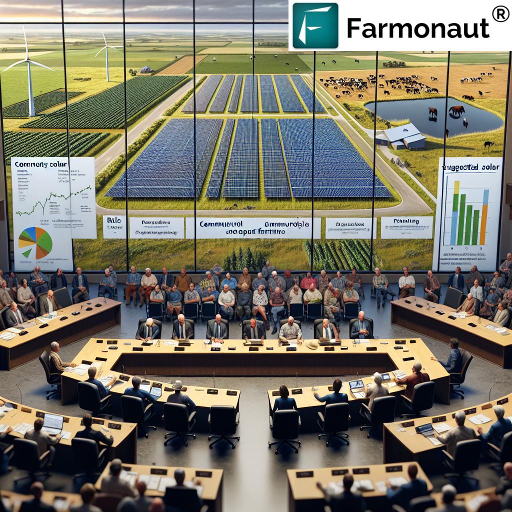
The Board’s Dilemma: Balancing Interests and Legal Realities
The Ogle County Board found itself in a challenging position, caught between the desires of their constituents and the legal realities of state regulations. Board members like Ben Youman and Lyle Hopkins vocalized strong concerns about the loss of prime agricultural land. Youman emphasized the high productivity of the land in question, while Hopkins expressed frustration over sacrificing good farmland for solar energy, suggesting that alternative sites on less productive ground should be considered.
However, the board also had to contend with the potential legal ramifications of denying the permit. The county’s legal counsel indicated that while Cenergy might have grounds for a lawsuit, the chances of the county winning such a case were slim, especially given the current political climate and recent changes in state law regarding renewable energy projects.
The Financial Consideration: A Looming Legal Battle
Adding another layer of complexity to the decision was the potential financial burden of contesting a lawsuit. Ogle County State’s Attorney Mike Rock provided a sobering estimate of the potential costs, suggesting that fighting the case could cost the county between $300,000 and $500,000. This financial consideration raised important questions about resource allocation and fiscal responsibility:
- Was the county prepared to invest such a significant sum in a legal battle with uncertain outcomes?
- How would these legal expenses impact other county services and initiatives?
- Could these funds be better used for other agricultural preservation efforts or community projects?
Moreover, Rock raised a critical point about precedent-setting. By challenging state zoning regulations, Ogle County would potentially be opening the door to future legal battles and setting a precedent for how local governments interact with state-level energy policies.
The Broader Context: Illinois’s Renewable Energy Push
To fully understand the Ogle County situation, it’s crucial to consider the broader context of Illinois’s renewable energy initiatives. The state has been making significant strides in promoting clean energy sources, with ambitious goals for increasing the share of renewable energy in its power mix.
- Illinois aims to achieve 100% clean energy by 2050
- The state has set interim goals of 40% renewable energy by 2030 and 50% by 2040
- Community solar projects are seen as a key component of this energy transition
These state-level objectives have led to legislation that encourages the development of solar and wind projects, sometimes at the expense of local control over land use decisions. The law cited in Cenergy’s lawsuit is a prime example of this shift, illustrating the tension between state energy goals and local land use priorities.
Community Solar Projects: A Double-Edged Sword
“Illinois community solar projects can occupy up to 20 acres, impacting local farmland preservation efforts.”
Community solar projects, like the one proposed in Ogle County, represent a unique approach to renewable energy development. These projects aim to make solar power more accessible to a broader range of consumers, including those who might not be able to install solar panels on their own properties. However, they also present unique challenges, especially in agricultural communities:
- Land Use Impact: Community solar projects typically require more land than rooftop solar installations, potentially taking arable land out of production.
- Community Benefits: These projects can offer local energy independence and potential cost savings for participants.
- Visual Impact: As highlighted by Mike Bowman’s testimony, solar farms can significantly alter the rural landscape, affecting community aesthetics and cultural connections to the land.
- Economic Considerations: While solar projects can bring in new revenue streams, they may do so at the cost of traditional agricultural economic activities.
The Role of Zoning Regulations in Solar Farm Development
Zoning regulations play a crucial role in shaping the development of solar farms and other renewable energy projects. In Ogle County, as in many rural areas, these regulations have traditionally been designed to protect agricultural land and maintain the character of rural communities. However, the push for renewable energy is challenging these long-standing zoning practices:
- Adapting to New Realities: Counties are being forced to reconsider and often modify their zoning codes to accommodate solar and wind projects while still protecting prime farmland.
- Balancing Act: Zoning boards must weigh the benefits of renewable energy against the preservation of agricultural resources and rural character.
- State vs. Local Control: As seen in the Ogle County case, state-level mandates are increasingly influencing local zoning decisions, potentially limiting the autonomy of county boards.
The challenge for Ogle County and similar jurisdictions is to craft zoning regulations that can accommodate renewable energy development without compromising their agricultural heritage and the wishes of their residents.
Long-Term Implications for Agricultural Sustainability
The decision to approve the solar project in Ogle County raises important questions about the long-term sustainability of agriculture in the region. While renewable energy is crucial for addressing climate change – itself a significant threat to agriculture – the conversion of prime farmland to solar farms has its own set of consequences:
- Food Security: Reducing the amount of available high-quality farmland could impact local and regional food production capacity.
- Soil Health: Long-term installation of solar panels may affect soil quality, potentially making it more difficult to return the land to agricultural use in the future.
- Agricultural Economy: Changes in land use could have ripple effects on the local agricultural economy, affecting farmers, suppliers, and related businesses.
- Rural Character: The gradual transformation of farmland into energy production sites could alter the fundamental character of rural communities.
These considerations highlight the need for a holistic approach to land use planning that considers both immediate energy needs and long-term agricultural sustainability.
Innovative Solutions: Bridging the Gap Between Solar and Agriculture
As communities like Ogle County grapple with these challenges, innovative solutions are emerging that aim to bridge the gap between solar energy production and agricultural preservation. One such approach is agrivoltaics – the co-location of solar panels and agricultural activities on the same land.
- Dual Land Use: Agrivoltaic systems allow for solar energy production while maintaining some level of agricultural activity beneath or between solar panels.
- Crop Selection: Certain crops, particularly shade-tolerant varieties, can be grown successfully in agrivoltaic systems.
- Water Conservation: The shade provided by solar panels can reduce water evaporation, potentially benefiting crops in drought-prone areas.
- Income Diversification: Farmers can benefit from both energy production and crop yields, providing a more stable income stream.
While agrivoltaics may not be suitable for all types of farming or all locations, it represents an innovative approach to balancing competing land use priorities.
The Role of Technology in Land Use Decision-Making
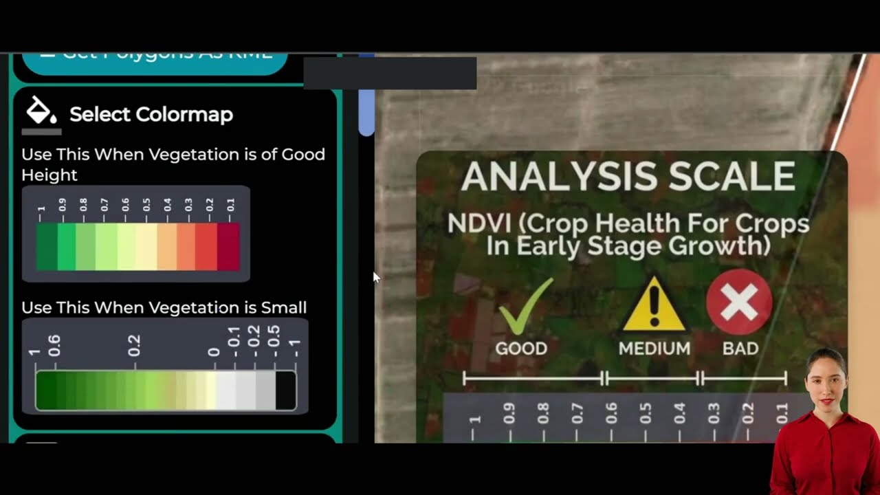
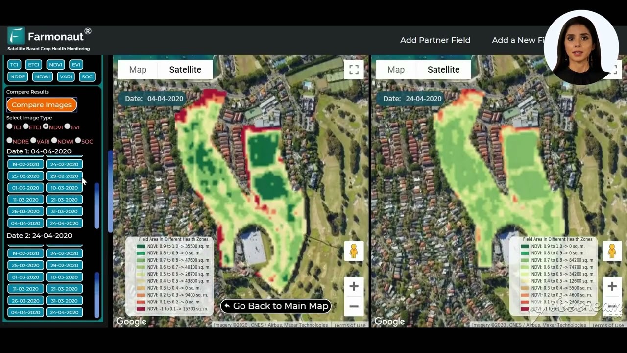
As we navigate these complex land use decisions, technology plays an increasingly important role in providing data and insights to inform policy-making. Advanced satellite imaging and data analysis tools, such as those offered by Farmonaut, can provide valuable information for assessing land suitability for various uses.
Farmonaut’s web app offers sophisticated satellite-based crop health monitoring and AI-driven advisory systems that can help in evaluating the agricultural potential of land. This technology can be particularly useful in:
- Assessing soil quality and crop productivity
- Monitoring changes in land use over time
- Providing data-driven insights for LESA system evaluations
- Helping identify optimal locations for solar projects that minimize impact on prime farmland
By leveraging such technologies, counties like Ogle can make more informed decisions about land use, potentially finding better compromises between agricultural preservation and renewable energy development.
Comparative Analysis: Solar Farm Development vs. Farmland Preservation
To better understand the trade-offs involved in the Ogle County decision, let’s examine a comparative analysis of solar farm development versus farmland preservation:
| Criteria | Solar Farm Development | Farmland Preservation |
|---|---|---|
| Land Use | Requires significant acreage, potentially up to 20 acres for community projects | Maintains existing agricultural use |
| Economic Impact | New revenue stream, potential job creation in installation and maintenance | Supports traditional agricultural jobs and related industries |
| Environmental Benefits | Reduces carbon emissions, contributes to renewable energy goals | Maintains carbon sequestration in soil, supports biodiversity |
| Food Production | Reduces land available for food cultivation | Maintains or increases local food production capacity |
| Soil Quality | Potential long-term impacts on soil structure and fertility | Preserves soil health through continued agricultural practices |
| LESA System Scoring | May conflict with high LESA scores | Aligns with high LESA scores, preserving prime agricultural land |
| Community Character | Alters rural landscape, potential visual impacts | Maintains traditional rural aesthetics and cultural connections |
| Long-term Flexibility | Land can potentially be returned to agriculture after project lifespan | Maintains immediate and long-term agricultural use options |
This comparison illustrates the complex considerations that county boards and communities must weigh when making decisions about land use in the context of renewable energy development.
The Path Forward: Striking a Balance
As Ogle County moves forward with the approved solar project, the challenge now becomes how to implement it in a way that minimizes negative impacts on agriculture and maximizes benefits to the community. Some potential strategies include:
- Careful Site Selection: Prioritizing solar development on marginal or less productive agricultural lands.
- Agrivoltaic Pilot Programs: Exploring dual-use systems that allow for both solar energy production and agricultural activities.
- Community Benefit Agreements: Negotiating agreements that ensure local communities receive tangible benefits from solar projects.
- Adaptive Management: Implementing monitoring programs to assess long-term impacts and adjust strategies as needed.
- Policy Innovation: Developing new zoning and land use policies that better balance agricultural preservation with renewable energy goals.
By taking a thoughtful, balanced approach, Ogle County can potentially serve as a model for other rural communities facing similar dilemmas.
The Role of Farmonaut in Sustainable Land Management
In navigating the complex landscape of sustainable agriculture and renewable energy development, tools like Farmonaut can play a crucial role. Farmonaut’s satellite-based farm management solutions offer valuable insights that can inform decision-making processes:
- Precision Agriculture: By providing real-time crop health monitoring, Farmonaut can help maximize the productivity of existing farmland, potentially reducing the pressure to convert agricultural land to other uses.
- Resource Optimization: Farmonaut’s AI-based advisory systems can help farmers make more efficient use of water, fertilizers, and other resources, contributing to overall agricultural sustainability.
- Land Suitability Analysis: The platform’s advanced satellite imaging capabilities can assist in identifying areas that are most suitable for solar development with minimal impact on prime agricultural land.
- Monitoring and Evaluation: Farmonaut’s technology can be used to monitor the long-term impacts of solar installations on surrounding agricultural land, providing valuable data for future decision-making.
By leveraging these technologies, counties like Ogle can make more informed, data-driven decisions about land use and agricultural preservation.
Explore Farmonaut’s capabilities:
Conclusion: A Call for Collaborative Solutions
The Ogle County solar project decision serves as a microcosm of the broader challenges facing rural communities across the United States. As we strive to transition to cleaner energy sources and combat climate change, we must also recognize the vital importance of preserving our agricultural heritage and food production capabilities.
The path forward requires innovative thinking, collaborative approaches, and a willingness to embrace new technologies and practices. By leveraging tools like Farmonaut’s satellite-based farm management solutions, adopting innovative approaches like agrivoltaics, and fostering open dialogue between all stakeholders, we can work towards solutions that balance the needs of renewable energy development with the preservation of our precious agricultural resources.
Ultimately, the goal should be to create a future where clean energy and sustainable agriculture not only coexist but thrive together, ensuring both food security and environmental sustainability for generations to come.
FAQs
- What is the LESA system, and why is it important for Ogle County?
The Land Evaluation and Site Assessment (LESA) system is a tool used to evaluate the suitability of land for agricultural use. It’s important for Ogle County because it helps protect high-quality farmland from non-agricultural development, ensuring the preservation of valuable agricultural resources. - How do community solar projects differ from other types of solar installations?
Community solar projects are typically larger than residential installations but smaller than utility-scale solar farms. They allow multiple participants to benefit from a single solar array, making solar energy accessible to those who can’t install panels on their own property. - What are the potential long-term impacts of converting farmland to solar farms?
Long-term impacts may include changes in soil quality, reduced food production capacity, alterations to local ecosystems, and shifts in the rural economy and community character. However, with proper planning, some of these impacts can be mitigated. - How can agrivoltaics help balance solar energy production with agriculture?
Agrivoltaics involves co-locating solar panels and agricultural activities on the same land. This approach can allow for both energy production and farming, potentially reducing land use conflicts and providing farmers with diversified income streams. - What role can technology play in making informed decisions about land use?
Technologies like satellite imaging and data analysis tools can provide valuable insights into land productivity, soil quality, and environmental factors. These tools can help decision-makers identify optimal locations for solar projects that minimize impact on prime farmland.
Explore Farmonaut’s Subscription Options
For developers interested in integrating Farmonaut’s powerful satellite and weather data into their own applications, explore our API and API Developer Docs.


