Montana’s Cutting-Edge Mesonet: Revolutionizing Agricultural Data and Water Monitoring Across the State
“Montana’s Mesonet aims to install hydromet stations every 500 square miles, creating one of the world’s densest meteorological networks.”
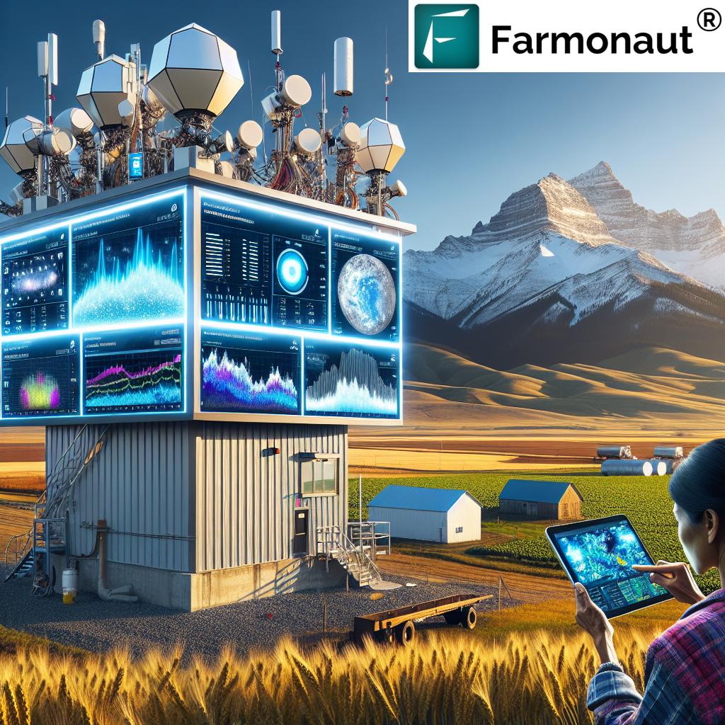
In the vast landscapes of Montana, a technological revolution is quietly unfolding, promising to transform the way we understand and manage our agricultural resources and water systems. We’re excited to introduce you to the Montana Mesonet, an ambitious project that’s set to become one of the world’s most advanced and densest meteorological station networks. This cutting-edge system is not just about weather forecasting; it’s a comprehensive approach to agricultural data collection and water resource management that will shape the future of farming and environmental stewardship in our state.

The Vision Behind Montana’s Mesonet
The Montana Mesonet project is born out of a critical need to better understand and manage our state’s water resources. Following the devastating floods along the Missouri River in 2011 and 2014, it became apparent that we lacked crucial data about the water stored in our landscape, both as snow and soil moisture. This knowledge gap hindered our ability to predict and manage flood events effectively.
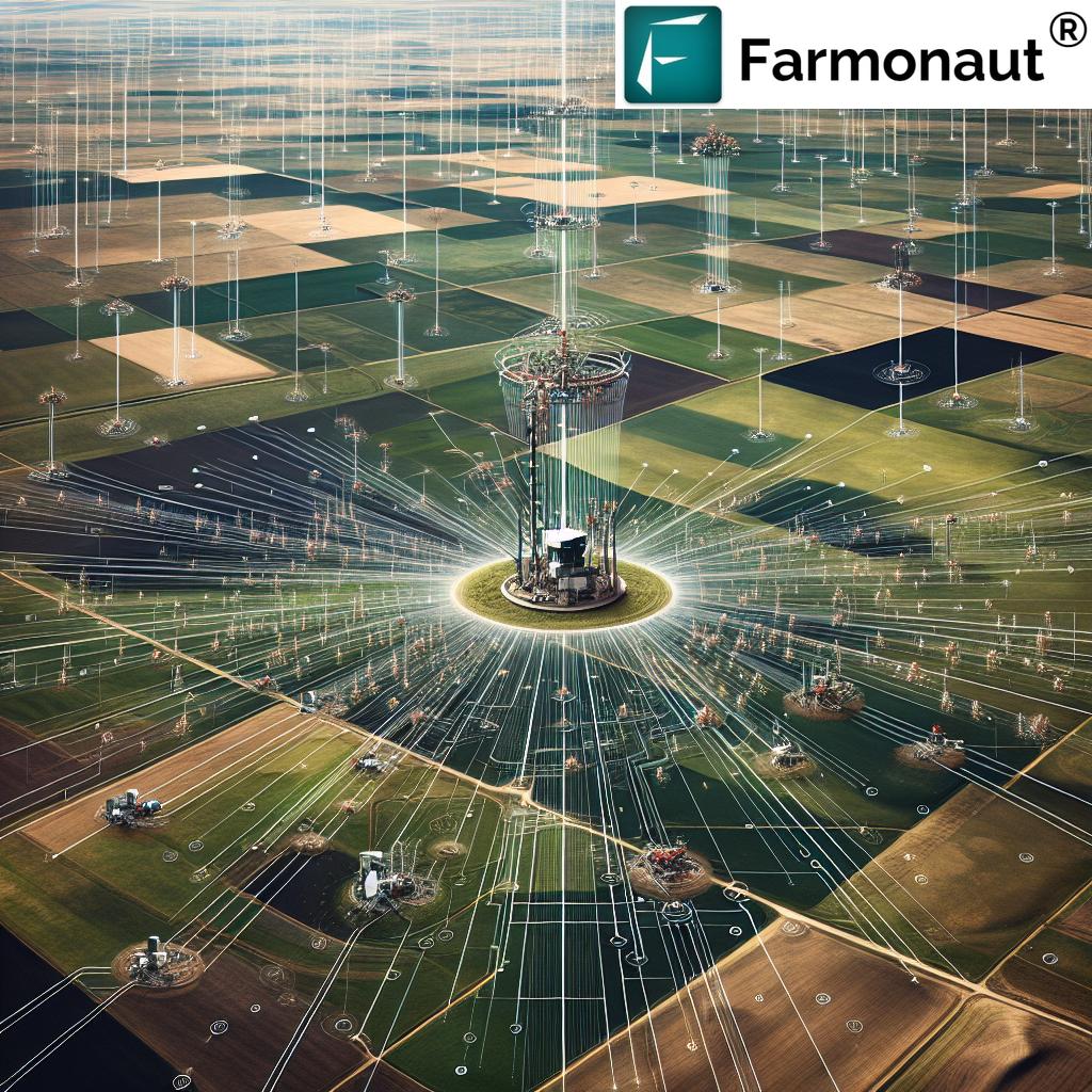
In response to these challenges, the Montana Climate Office, in partnership with the U.S. Army Corps of Engineers, embarked on an ambitious journey to create a network of hydromet stations across eastern Montana. The goal? To install one monitoring station every 500 square miles, creating an unprecedented density of meteorological data collection points.
Cutting-Edge Technology at Work
At the heart of the Montana Mesonet are advanced hydromet stations equipped with state-of-the-art technology:
- Soil Moisture Sensors: These sensors provide real-time data on soil moisture levels at various depths, crucial for agricultural planning and water management.
- Snowpack Measurement Technology: Utilizing sonic sensors, these stations can accurately measure snowpack, a critical factor in predicting spring runoff and potential flooding.
- Comprehensive Meteorological Instruments: Each station is a mini weather center, collecting data on temperature, humidity, wind speed, and precipitation.
This advanced equipment allows the Mesonet to gather a wealth of information every five minutes, providing an unprecedented level of detail about Montana’s climate and water resources.
Revolutionizing Data Accessibility
One of the most exciting aspects of the Montana Mesonet is its commitment to open data. All the information collected by these stations is made available to the public online, updated in real-time. This accessibility is a game-changer for various stakeholders:
- Farmers and Ranchers: Access to hyperlocal weather and soil data can inform critical decisions about planting, irrigation, and harvesting.
- Researchers: The wealth of data provides invaluable resources for climate and agricultural studies.
- Policymakers: Real-time information aids in making informed decisions about water resource management and disaster prevention.
- Developers: A weather data API is available, encouraging the creation of innovative applications that leverage this rich dataset.
Speaking of innovative applications, while the Montana Mesonet focuses on data collection, companies like Farmonaut are at the forefront of utilizing such data for practical agricultural solutions. Farmonaut’s platform integrates various data sources, including satellite imagery and weather data, to provide valuable insights for precision agriculture. You can explore their offerings through their web app, or download their mobile apps for Android and iOS.


Enhancing Flood Prevention Systems
One of the primary drivers behind the Montana Mesonet project is to significantly improve our flood prevention capabilities. By providing real-time data on soil moisture and snowpack, the network allows for more accurate predictions of spring runoff and potential flooding events. This information is crucial for:
- Early warning systems for communities at risk
- Optimizing reservoir management to mitigate flood risks
- Informing infrastructure planning and development in flood-prone areas
The dense network of stations ensures that even localized weather events that could lead to flash flooding are captured and analyzed, providing a level of detail previously unattainable.
Transforming Agricultural Planning
For Montana’s agricultural community, the Mesonet represents a quantum leap in the availability of critical data for decision-making. Farmers and ranchers can now access hyper-local, real-time information about:
- Soil moisture at various depths
- Local precipitation patterns
- Temperature trends and frost warnings
- Wind conditions
This wealth of data enables more precise agricultural planning, including:
- Optimizing irrigation schedules to conserve water
- Timing planting and harvesting activities more accurately
- Managing crop protection measures based on local weather conditions
- Predicting potential crop stresses due to weather extremes
“The Montana Mesonet updates weather data every 5 minutes, providing real-time information through a weather data API.”
The frequency of data updates from the Montana Mesonet is truly remarkable. With new information available every five minutes, farmers and agricultural professionals can make near-instantaneous decisions based on the most current conditions. This level of real-time data is particularly valuable when integrated with advanced agricultural technology platforms.
For instance, developers and agtech companies can leverage the Montana Mesonet’s weather data API to create sophisticated farm management tools. While the Mesonet provides the raw data, platforms like Farmonaut take this a step further by offering a comprehensive satellite and weather API that combines multiple data sources for enhanced agricultural insights. You can explore the capabilities of such APIs through Farmonaut’s API Developer Docs.

Bridging Critical Data Gaps
The Montana Mesonet is filling crucial data gaps that have long hindered comprehensive environmental monitoring in our state. Here’s how:
- Spatial Resolution: By aiming for one station every 500 square miles in eastern Montana, the network provides unprecedented spatial coverage, capturing microclimates and localized weather patterns.
- Temporal Resolution: With data updates every five minutes, the Mesonet offers a near-continuous stream of information, essential for tracking rapidly changing weather conditions.
- Data Integration: By combining surface weather observations with soil moisture and snowpack data, the Mesonet provides a holistic view of the water cycle in Montana’s landscape.
- Historical Data Accumulation: As the network continues to operate, it will build an invaluable historical dataset, crucial for long-term climate studies and trend analysis.
These advancements in data collection and accessibility are not just beneficial for Montana; they contribute to a broader understanding of climate patterns and water resource dynamics across the region.
Comparative Analysis: Montana Mesonet vs. Traditional Methods
| Feature | Traditional Methods | Montana Mesonet |
|---|---|---|
| Data Collection Frequency | Daily or hourly | Every 5 minutes |
| Geographic Coverage | Sparse, often urban-centric | Dense network, one station per 500 sq miles |
| Soil Moisture Monitoring | Limited, often manual measurements | Continuous, multi-depth automated sensing |
| Snowpack Measurement | Periodic manual surveys | Continuous monitoring with sonic sensors |
| Real-time Data Accessibility | Often delayed, limited public access | Immediate, publicly accessible online |
| Flood Prevention Capabilities | Based on broader regional data | Hyper-local, real-time data for precise predictions |
| Agricultural Planning Support | General regional forecasts | Field-level insights for precision agriculture |
The Future of Water Resource Management
As the Montana Mesonet continues to expand, its impact on water resource management in the state is expected to be transformative. Here’s how this network is shaping the future:
- Improved Drought Monitoring: The detailed soil moisture data will allow for early detection of drought conditions, enabling proactive management strategies.
- Enhanced Water Allocation: With precise data on water availability and usage, authorities can make more informed decisions about water allocation for various needs, from agriculture to urban use.
- Climate Change Adaptation: The long-term dataset provided by the Mesonet will be invaluable in understanding and adapting to climate change impacts specific to Montana.
- Ecosystem Management: The comprehensive environmental data will aid in managing and preserving Montana’s diverse ecosystems, from grasslands to forests.
The Montana Mesonet is not just a weather monitoring system; it’s a powerful tool for sustainable resource management that will benefit our state for generations to come.
Collaboration and Innovation
The success of the Montana Mesonet is a testament to the power of collaboration between various stakeholders:
- Government Agencies: The U.S. Army Corps of Engineers and state agencies provide crucial support and utilize the data for public safety and resource management.
- Research Institutions: Universities and research centers contribute to the ongoing development and analysis of the Mesonet data.
- Agricultural Community: Farmers and ranchers both benefit from and contribute to the success of the network through their engagement and feedback.
- Technology Sector: The open API encourages tech companies and developers to create innovative applications that leverage the Mesonet data.
This collaborative approach ensures that the Mesonet continues to evolve and meet the changing needs of Montana’s diverse stakeholders.
Expanding the Network: Looking Ahead
As we look to the future, the Montana Mesonet project has ambitious plans for expansion:
- Increased Coverage: The goal is to complete the network across eastern Montana within the next three years, with potential for expansion to other parts of the state.
- Enhanced Sensor Technology: Ongoing research and development may lead to the integration of even more advanced sensors, further improving data quality and range.
- Integration with Regional Networks: The Montana Mesonet will become part of a larger network of over 500 weather monitoring stations across five states, creating a comprehensive regional monitoring system.
- Advanced Data Analytics: As the dataset grows, there will be opportunities for applying machine learning and AI to extract even more valuable insights from the collected information.
These expansions will further cement Montana’s position as a leader in environmental monitoring and agricultural technology.
Empowering Farmers with Technology
While the Montana Mesonet provides invaluable data, it’s the application of this information that truly transforms agriculture. Modern farmers are increasingly turning to technology to make the most of such data. Platforms like Farmonaut exemplify how agricultural technology can leverage weather and environmental data to provide actionable insights for farmers.
Farmonaut’s satellite-based crop monitoring system, for instance, combines various data sources, including weather information, to offer comprehensive farm management solutions. Their platform provides:
- Real-time crop health monitoring
- AI-driven advisory systems for crop management
- Resource management tools for efficient farming
By integrating data from networks like the Montana Mesonet with satellite imagery and advanced analytics, such platforms are making precision agriculture more accessible and affordable for farmers of all scales.
The Economic Impact of Advanced Agricultural Monitoring
The implementation of the Montana Mesonet and the adoption of advanced agricultural technologies have significant economic implications for the state:
- Increased Agricultural Productivity: More precise farming practices lead to higher yields and better crop quality.
- Resource Efficiency: Optimized use of water, fertilizers, and pesticides reduces input costs for farmers.
- Risk Mitigation: Better predictive capabilities help farmers and insurers manage agricultural risks more effectively.
- Innovation and Job Creation: The growth of agtech industries spurs innovation and creates new job opportunities in rural areas.
As Montana continues to invest in and expand its Mesonet, the economic benefits are expected to multiply, positioning the state as a leader in smart, data-driven agriculture.
Conclusion: A New Era for Montana Agriculture
The Montana Mesonet represents a significant leap forward in our ability to understand, manage, and protect our state’s valuable water resources and agricultural lands. By providing unprecedented access to real-time, hyper-local environmental data, this network is revolutionizing how we approach farming, water management, and environmental stewardship.
As we continue to expand and refine this cutting-edge system, Montana is positioning itself at the forefront of agricultural innovation and sustainable resource management. The Mesonet is more than just a network of weather stations; it’s a powerful tool that will help ensure the prosperity and resilience of our agricultural communities for generations to come.
We invite farmers, researchers, policymakers, and technology enthusiasts to explore the wealth of data provided by the Montana Mesonet and to consider how this information can be leveraged to drive innovation and sustainability in agriculture and beyond.
FAQs
- What is the Montana Mesonet?
The Montana Mesonet is a dense network of advanced weather and environmental monitoring stations being installed across eastern Montana, aiming to provide real-time data on weather, soil moisture, and snowpack conditions. - How often is data updated in the Montana Mesonet?
Data from the Montana Mesonet stations is updated every five minutes, providing near real-time information. - What types of data does the Montana Mesonet collect?
The Mesonet collects data on weather conditions, soil moisture at various depths, snowpack measurements, and other environmental parameters. - How can farmers access data from the Montana Mesonet?
The data collected by the Montana Mesonet is made publicly available online. Additionally, there is an API available for developers to create applications that utilize this data. - How does the Montana Mesonet help with flood prevention?
By providing real-time data on soil moisture and snowpack, the Mesonet allows for more accurate predictions of spring runoff and potential flooding events, enabling better preparedness and management. - Can the Montana Mesonet data be integrated with other agricultural technologies?
Yes, the open API of the Montana Mesonet allows for integration with various agricultural technologies and platforms, enhancing their capabilities with local, real-time environmental data. - How does the Montana Mesonet compare to traditional weather monitoring methods?
The Montana Mesonet offers much higher spatial and temporal resolution than traditional methods, providing more detailed and frequent data updates across a denser network of monitoring stations. - What is the future expansion plan for the Montana Mesonet?
The goal is to complete the network across eastern Montana within the next three years, with potential for expansion to other parts of the state and integration with regional networks.


