Vallejo’s Updated Fire Hazard Severity Zones: Essential Guide for Local Wildfire Preparedness and Safety
“Vallejo’s updated fire hazard assessment identifies moderate risk areas on Mare Island and scattered zones in Benicia, totaling less than 5% of the city.”
Welcome to our comprehensive guide on Vallejo’s recently updated Fire Hazard Severity Zones. As we delve into this crucial topic, we’ll explore how these changes impact our community and provide essential information for enhancing local wildfire preparedness and safety. Our beautiful city of Vallejo, nestled in the heart of California, faces unique challenges when it comes to fire risk management. In this article, we’ll break down the latest updates, explain their significance, and offer practical advice for residents to stay informed and protected.
Understanding Fire Hazard Severity Zones
Fire Hazard Severity Zones are designated areas that identify wildfire hazards based on factors such as vegetation, topography, and weather patterns. These zones play a critical role in guiding community safety measures, fire prevention efforts, and building codes to enhance resilience against wildfires. The California Department of Forestry and Fire Protection (CAL FIRE) regularly updates these zones to reflect the latest scientific data and fire behavior modeling.
In Vallejo, the recent updates have revealed some important insights about our local wildfire risk. Let’s take a closer look at what these changes mean for our community.
Vallejo’s Updated Fire Hazard Severity Zones: What’s New?
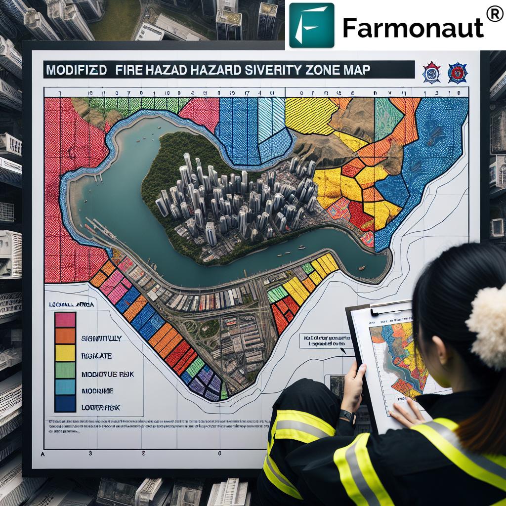
The City of Vallejo and Vallejo Fire Department have been working diligently to inform our community about the updated Fire Hazard Severity Zones and their potential impacts. Here are the key findings from the latest assessment:
- Two moderate locally controlled risk areas identified on Mare Island
- Scattered moderate locally controlled risk areas in Benicia to the north
- Most open space and agricultural areas between Vallejo, American Canyon, Napa, and Fairfield classified as moderate state-controlled risk areas
- No areas in Vallejo classified as high or very high fire hazard severity
It’s important to note that while some precautions remain necessary, Vallejo is at a lower wildfire risk compared to other parts of California. This is good news for our community, but it doesn’t mean we can let our guard down entirely.
Implications for Vallejo Residents
The updated Fire Hazard Severity Zones bring some positive news for Vallejo residents:
- Current defensible space requirements will not change
- No changes required to existing building codes
- Lower overall wildfire risk compared to many other California regions
However, it’s crucial to remember that wildfire preparedness remains an essential part of community safety. Interim Fire Chief Arthur Gonzales emphasized, “The safety of Vallejo residents is our top priority. By understanding these new Fire Hazard Severity Zones, we can take proactive steps to reduce fire risk and better prepare for potential wildfire threats.”
Community Action: What Can Residents Do?
While Vallejo faces a lower wildfire risk, there are still important steps residents can take to enhance their preparedness and contribute to community safety:
- Review the Updated Maps: Familiarize yourself with the new Fire Hazard Severity Zone maps available on CAL FIRE’s website and the City of Vallejo’s dedicated page.
- Understand Your Property’s Designation: Knowing your property’s fire hazard severity zone can help you take appropriate precautions.
- Implement Defensible Space: Even in lower-risk areas, maintaining defensible space around your property is a crucial fire safety measure.
- Home Hardening: Consider upgrades to make your home more resistant to wildfire, such as using fire-resistant materials for roofs and siding.
- Emergency Preparedness Planning: Develop and practice an emergency evacuation plan with your family.
“The new Fire Hazard Severity Zone maps for Vallejo are based on data from over 500 scientific variables and advanced fire behavior modeling techniques.”
Local Responsibility Area Fire Maps: A Closer Look
The updated local responsibility area fire maps provide valuable insights into fire risk across Solano County. Here are some notable findings:
- High-risk local responsibility areas between Fairfield and Rio Vista, both north and south of Highway 12
- Very High Risk designation for an area just east of Collinsville in the Sacramento River Delta
- Travis Air Force Base surrounded by high-risk local responsibility designation
- High-risk locally controlled area west of Suisun City and south of Fairfield
- Dixon and Rio Vista are the only two communities in the county not near risk areas
These designations highlight the importance of regional cooperation in wildfire preparedness and response efforts.
The Science Behind Fire Hazard Severity Zones
Fire Hazard Severity Zones are not arbitrary designations. They are the result of extensive scientific research and advanced modeling techniques. The updated zones reflect the latest data on factors such as:
- Vegetation types and density
- Topography and terrain
- Climate conditions and weather patterns
- Historical fire data
- Potential fire behavior under various scenarios
This scientific approach ensures that our community’s fire risk assessment is as accurate and up-to-date as possible, allowing for more effective prevention and preparedness strategies.
Comparative Analysis: Vallejo’s Fire Risk in Context
To better understand Vallejo’s fire risk profile, let’s take a look at how our updated Fire Hazard Severity Zones compare to previous assessments and neighboring areas:
| Location | Previous Risk Level | Updated Risk Level | Key Factors |
|---|---|---|---|
| Mare Island | Low to Moderate | Moderate (Locally Controlled) | Updated vegetation analysis, improved fire behavior modeling |
| Benicia (North) | Low | Moderate (Scattered Zones, Locally Controlled) | Reassessment of topography, climate data updates |
| Vallejo (Main City Area) | Low | Low (No Change) | Maintained urban infrastructure, effective defensible space |
| Open Space between Vallejo, American Canyon, Napa, and Fairfield | Moderate | Moderate (State Controlled) | Consistent vegetation patterns, state-level management |
| Area East of Collinsville | High | Very High (Locally Controlled) | Updated climate data, refined risk assessment models |
This comparison illustrates that while some areas have seen changes in their risk assessment, Vallejo as a whole maintains a relatively low fire risk profile compared to many other California communities.
The Role of Technology in Wildfire Preparedness
As we discuss fire hazard assessment and preparedness, it’s worth noting the increasing role of technology in this field. Advanced satellite monitoring and data analysis tools are revolutionizing how we approach wildfire risk management and agricultural practices in fire-prone areas.
For instance, companies like Farmonaut are leveraging satellite technology to provide valuable insights for agricultural management, which can indirectly contribute to wildfire preparedness. While Farmonaut’s primary focus is on precision agriculture, their satellite-based monitoring systems showcase how technology can be applied to environmental risk assessment and management.
Similarly, local fire departments and emergency management agencies are increasingly using advanced mapping and modeling tools to improve their wildfire response strategies. These technological advancements complement traditional fire prevention methods and help create a more comprehensive approach to community safety.
Community Engagement and Education
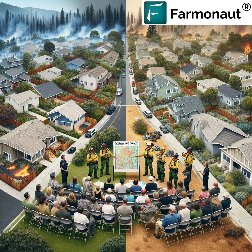
One of the most critical aspects of wildfire preparedness is community engagement and education. The Vallejo Fire Department and city officials are committed to keeping residents informed and involved in fire safety efforts. Here are some ways our community is staying engaged:
- Public information sessions on the updated Fire Hazard Severity Zones
- Community workshops on creating defensible space and home hardening techniques
- Collaboration with local schools to educate young residents about fire safety
- Regular updates through city websites and social media channels
- Partnerships with neighborhood associations to disseminate information
By fostering a well-informed and proactive community, we can collectively enhance our resilience against potential wildfire threats.
The Economic Impact of Fire Hazard Assessments
Understanding Fire Hazard Severity Zones isn’t just about safety; it also has economic implications for our community. Here’s how these assessments can affect various aspects of life in Vallejo:
- Property Values: Areas with lower fire risk may see stabilized or increased property values.
- Insurance Rates: Fire hazard designations can influence homeowners’ insurance premiums.
- Development Plans: Zoning and building regulations may be affected by fire hazard assessments.
- Business Decisions: Companies may consider fire risk when choosing locations for new facilities.
- Agricultural Practices: Farmers and landowners may need to adapt their land management strategies based on fire risk assessments.
By maintaining a lower overall fire risk, Vallejo positions itself favorably for sustainable economic growth and development.
Collaboration with Neighboring Communities
Wildfire doesn’t respect city boundaries, which is why regional collaboration is crucial for effective fire prevention and response. Vallejo is part of a broader network of communities working together to enhance wildfire preparedness. This collaboration includes:
- Shared resources and mutual aid agreements with neighboring fire departments
- Coordinated evacuation plans that span multiple jurisdictions
- Joint training exercises to improve inter-agency coordination
- Unified public awareness campaigns to ensure consistent messaging across the region
This regional approach strengthens our collective ability to prevent, prepare for, and respond to wildfire threats.
The Future of Fire Safety in Vallejo
As we look to the future, Vallejo is well-positioned to continue enhancing its fire safety measures. Some potential areas of focus include:
- Investing in advanced fire detection and early warning systems
- Expanding green spaces and fire-resistant landscaping in urban areas
- Implementing smart city technologies to improve emergency response times
- Developing more robust community-based fire prevention programs
- Exploring innovative building materials and techniques for fire-resistant construction
By staying proactive and embracing new technologies and strategies, we can ensure that Vallejo remains a safe and resilient community in the face of evolving wildfire risks.
FAQs About Vallejo’s Updated Fire Hazard Severity Zones
Q: How often are Fire Hazard Severity Zones updated?
A: CAL FIRE typically reviews and updates Fire Hazard Severity Zones every few years, or as significant changes in conditions or scientific understanding occur.
Q: Will the updated zones affect my property insurance?
A: Insurance companies may consider Fire Hazard Severity Zones when determining rates, but many factors influence insurance premiums. Contact your insurance provider for specific information.
Q: How can I find out my property’s fire hazard severity zone?
A: You can check your property’s designation on the CAL FIRE website or the City of Vallejo’s dedicated fire hazard map page.
Q: What is defensible space, and why is it important?
A: Defensible space is the area around a building that’s been modified to reduce fire hazard. It’s crucial for protecting your property and slowing the spread of wildfires.
Q: Are there any new building requirements based on the updated zones?
A: For Vallejo, the current update does not introduce new building requirements. However, it’s always wise to follow best practices for fire-resistant construction.
Conclusion: Staying Prepared and Resilient
Vallejo’s updated Fire Hazard Severity Zones provide valuable insights into our community’s wildfire risk profile. While we can take comfort in the relatively low risk status of much of our city, it’s crucial that we remain vigilant and proactive in our fire safety efforts.
By staying informed, implementing recommended safety measures, and working together as a community, we can ensure that Vallejo remains a safe and resilient place to live, work, and play. Remember, wildfire preparedness is a shared responsibility, and every action we take to reduce risk contributes to the safety of our entire community.
Stay safe, stay informed, and let’s continue to work together for a fire-resilient Vallejo!
For more information on fire safety and preparedness, visit the official websites of the Vallejo Fire Department and CAL FIRE. Together, we can build a safer, more resilient Vallejo!
For those interested in leveraging technology for environmental monitoring and agricultural management, consider exploring platforms like Farmonaut. While not directly related to fire safety, these tools showcase how satellite technology can be applied to various aspects of land management and risk assessment.
Earn With Farmonaut: Affiliate Program
Earn 20% recurring commission with Farmonaut’s affiliate program by sharing your promo code and helping farmers save 10%. Onboard 10 Elite farmers monthly to earn a minimum of $148,000 annually—start now and grow your income!


