Farmonaut: Pioneering Satellite Data Services for Agriculture
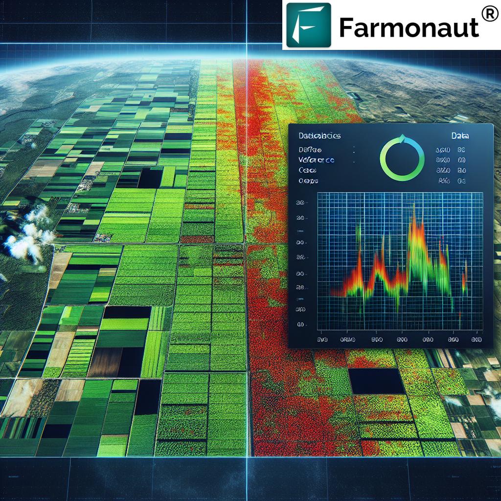
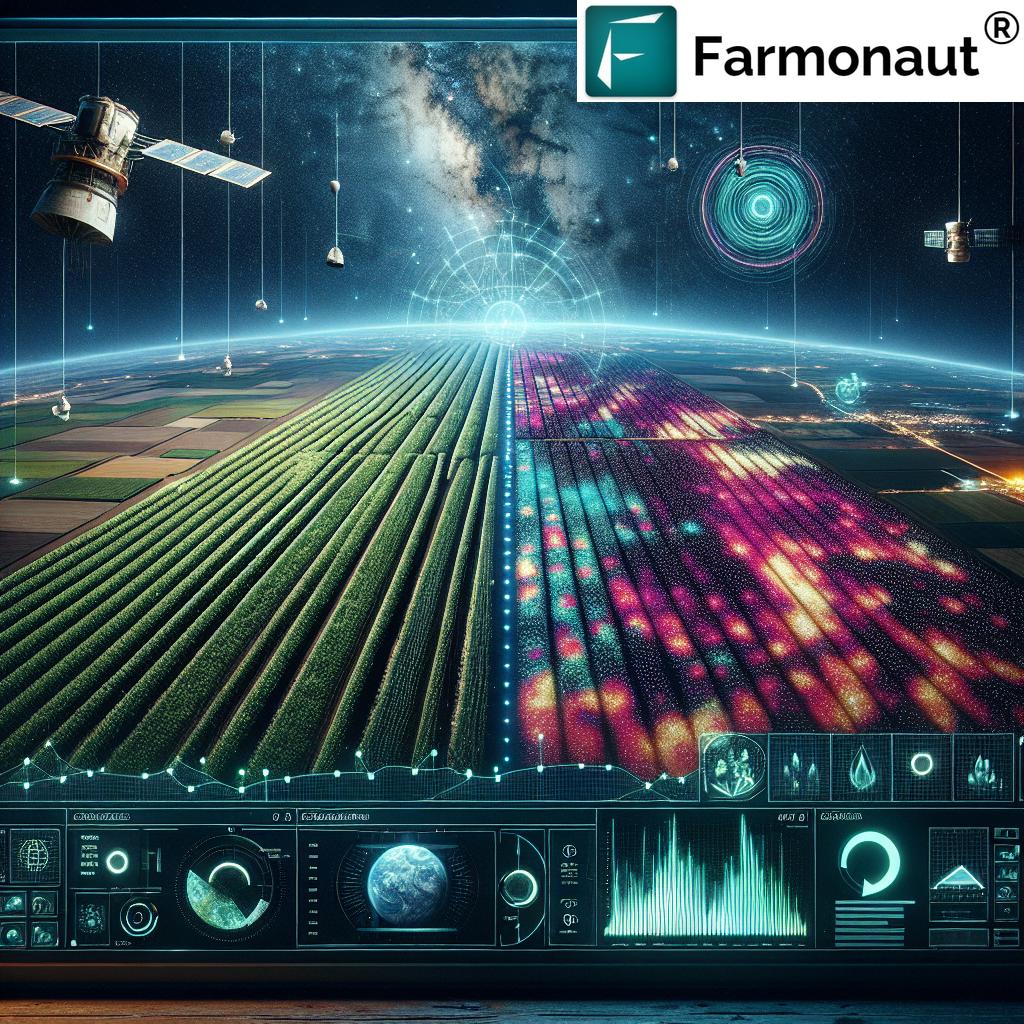
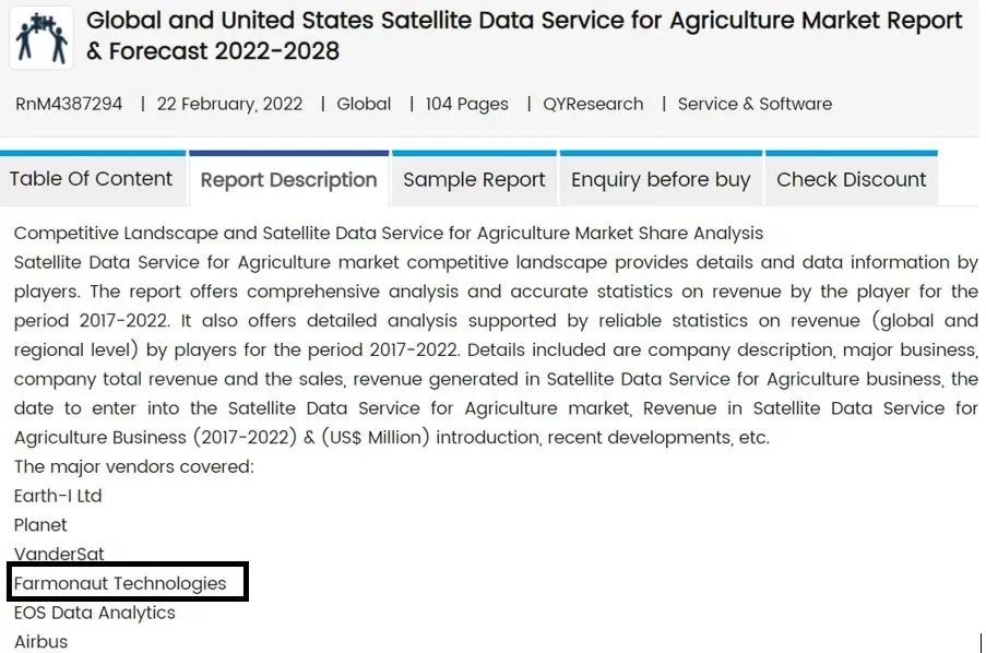
We are thrilled to announce that Farmonaut has been recognized as one of the key players in the Global Satellite Data Service for Agriculture Market. This recognition comes as part of a comprehensive report that analyzes the market trends, growth opportunities, and competitive landscape in this rapidly evolving sector. The report, which discusses 14 companies including Farmonaut®, Airbus, and Planet, highlights the significant strides we’ve made in revolutionizing agricultural practices through advanced satellite technology.
The Rising Importance of Satellite Data in Agriculture
In recent years, the agricultural sector has witnessed a paradigm shift towards precision farming and data-driven decision-making. At the forefront of this revolution is the utilization of satellite data services, which provide farmers and agribusinesses with unprecedented insights into their operations. As a pioneer in this field, Farmonaut has been instrumental in making these advanced technologies accessible and affordable to farmers worldwide.
Understanding Satellite Data Services for Agriculture
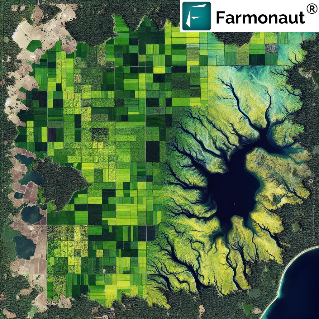
Satellite data services for agriculture encompass a wide range of applications that leverage space-based technology to enhance farming practices. These services typically involve:
- Remote Sensing: The use of satellite imagery to observe and analyze agricultural land from space.
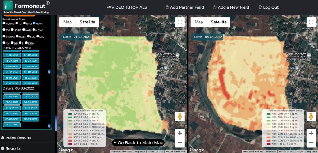
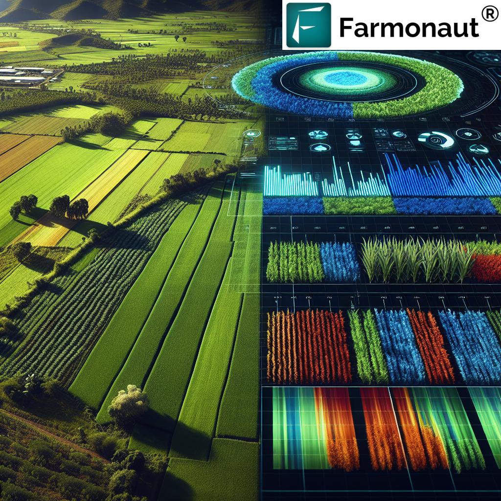
- NDVI Satellite Imagery: Normalized Difference Vegetation Index (NDVI) analysis to assess crop health and vigor.
- Soil Moisture Monitoring: Tracking soil moisture levels to optimize irrigation practices.
- Crop Yield Prediction: Using historical and real-time data to forecast crop yields.
- Weather Forecasting: Providing accurate, localized weather predictions for better farm management.
Farmonaut’s Unique Approach to Satellite Data Services
At Farmonaut, we have developed a comprehensive suite of tools that harness the power of satellite technology to address the diverse needs of modern agriculture. Our approach is rooted in making precision agriculture accessible to farmers of all scales, from smallholder farms to large agribusinesses.
Key Features of Farmonaut’s Satellite Data Services:
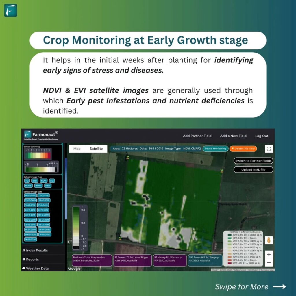
- Real-Time Crop Health Monitoring: We utilize multispectral satellite imagery to provide up-to-date information on crop health, enabling farmers to detect and address issues promptly.
- AI-Powered Advisory System: Our Jeevn AI system analyzes satellite data and other inputs to deliver personalized farming advice, helping farmers make informed decisions.
- Blockchain-Based Traceability: We’ve integrated blockchain technology to ensure transparency and security in agricultural supply chains.
- Resource Management Tools: Our platform offers advanced tools for managing farm resources, including fleet management and carbon footprint tracking.
- Weather Forecasting: We provide accurate, localized weather predictions to help farmers plan their activities more effectively.
The Advantages of Satellite-Based Farm Monitoring
While there are various technologies available for farm monitoring, including drones and IoT devices, satellite-based systems offer unique advantages. Here’s a comparison of how Farmonaut’s Satellite System stacks up against drone and IoT-based farm monitoring:
| Feature |
Farmonaut Satellite System |
Drone-based Monitoring |
IoT-based Monitoring |
| Coverage Area |
Large scale (Global) |
Limited (Local) |
Limited (Local) |
| Frequency of Data Collection |
Daily |
As needed (Manual flights) |
Continuous |
| Initial Setup Cost |
Low |
High |
Medium to High |
| Operational Complexity |
Low (Cloud-based) |
High (Requires trained operators) |
Medium (Requires maintenance) |
| Data Processing |
Automated (AI-powered) |
Manual or semi-automated |
Automated |
| Scalability |
Highly scalable |
Limited scalability |
Moderate scalability |
| Weather Dependency |
Low (Can penetrate clouds) |
High (Clear skies needed) |
Low |
| Regulatory Constraints |
Minimal |
Significant (Flight restrictions) |
Moderate |
The Impact of Satellite Data Services on Agriculture
The integration of satellite data services into agriculture has far-reaching implications for the industry. Some of the key impacts include:
- Improved Crop Yields: By providing detailed insights into crop health and soil conditions, satellite data services enable farmers to optimize their practices and increase yields.
- Resource Efficiency: Precise monitoring of soil moisture and crop needs allows for more efficient use of water, fertilizers, and pesticides.
- Risk Mitigation: Early detection of crop stress and accurate weather forecasting help farmers mitigate risks associated with pests, diseases, and adverse weather conditions.
- Sustainable Farming: By optimizing resource use and reducing waste, satellite data services contribute to more sustainable agricultural practices.
- Improved Decision-Making: Access to real-time, data-driven insights empowers farmers to make more informed decisions about their operations.
Farmonaut’s Role in Shaping the Future of Agriculture
As a key player in the Global Satellite Data Service for Agriculture Market, Farmonaut is at the forefront of driving innovation in the sector. Our commitment to making advanced agricultural technologies accessible to farmers worldwide is helping to bridge the gap between traditional farming practices and cutting-edge precision agriculture.
Our Contributions to the Agricultural Ecosystem:
- Democratizing Access to Precision Agriculture: By offering affordable satellite-based solutions, we’re making precision farming accessible to farmers of all scales.
- Promoting Sustainable Practices: Our tools for resource management and carbon footprint tracking are helping farmers adopt more sustainable agricultural practices.
- Enhancing Food Security: By improving crop yields and reducing losses, we’re contributing to global food security efforts.
- Driving Technological Innovation: Our integration of AI, blockchain, and satellite technology is pushing the boundaries of what’s possible in agricultural technology.
- Supporting Data-Driven Agriculture: We’re fostering a culture of data-driven decision-making in agriculture, leading to more efficient and productive farming practices.
The Future of Satellite Data Services in Agriculture
As we look to the future, the role of satellite data services in agriculture is set to grow even more significant. Some of the trends and developments we anticipate include:
- Increased Integration with AI and Machine Learning: Advanced algorithms will enable even more accurate predictions and insights from satellite data.
- Expansion of Hyperspectral Imaging: New satellite technologies will provide even more detailed insights into crop health and soil conditions.
- Greater Focus on Sustainability: Satellite data will play a crucial role in monitoring and improving the environmental impact of agriculture.
- Enhanced Integration with Other Technologies: Satellite data will be increasingly combined with data from drones, IoT devices, and other sources for more comprehensive farm management.
- Improved Data Accessibility: Cloud-based platforms and mobile applications will make satellite data more accessible to farmers in remote areas.
How to Get Started with Farmonaut
If you’re interested in leveraging the power of satellite data for your agricultural operations, getting started with Farmonaut is easy. Here’s how you can begin:
- Visit Our Website: Head to Farmonaut’s official website to learn more about our services.
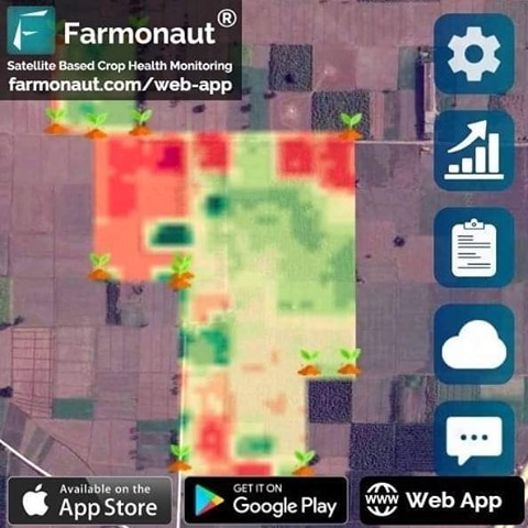
- Download Our Mobile App: Get instant access to our tools on the go by downloading our app from the Google Play Store or the Apple App Store.
- Explore Our API: For developers and businesses looking to integrate our data into their systems, check out our API documentation.
- Subscribe to Our Services: Choose the plan that best fits your needs using our easy subscription process:
Conclusion
The recognition of Farmonaut as a key player in the Global Satellite Data Service for Agriculture Market is a testament to our commitment to revolutionizing farming practices through advanced technology. As we continue to innovate and expand our services, we remain dedicated to our mission of making precision agriculture accessible to farmers worldwide.
By harnessing the power of satellite technology, AI, and blockchain, we’re not just providing data – we’re empowering farmers to make informed decisions, optimize their operations, and contribute to a more sustainable and food-secure future. As the agricultural sector continues to evolve, Farmonaut stands ready to lead the way in leveraging satellite data services to address the challenges and opportunities of modern farming.
FAQs
- Q: What is satellite data service for agriculture?
A: Satellite data service for agriculture involves using satellite imagery and technology to provide farmers with valuable insights about their crops, soil conditions, and overall farm health. This includes monitoring crop growth, predicting yields, assessing soil moisture, and detecting potential issues like pest infestations or nutrient deficiencies.
- Q: How does Farmonaut’s satellite data service work?
A: Farmonaut uses multispectral satellite imagery to capture data about farmland. This data is then processed using advanced algorithms and AI to provide actionable insights to farmers. Our platform offers real-time crop health monitoring, weather forecasts, and personalized recommendations through our Jeevn AI advisory system.
- Q: What are the benefits of using satellite data for farming?
A: Satellite data services offer numerous benefits including improved crop yields, more efficient use of resources (water, fertilizers, pesticides), early detection of crop health issues, better risk management, and the ability to make data-driven decisions. It also supports sustainable farming practices and can help in reducing the environmental impact of agriculture.
- Q: How accurate is satellite-based crop monitoring?
A: Satellite-based crop monitoring has become highly accurate in recent years, thanks to advancements in satellite technology and data processing algorithms. Farmonaut’s system can detect changes in crop health with high precision, often identifying issues before they become visible to the naked eye.
- Q: Can satellite data services work for small farms?
A: Absolutely! One of Farmonaut’s key goals is to make precision agriculture accessible to farmers of all scales. Our services are designed to be affordable and user-friendly, making them suitable for small-scale farmers as well as large agribusinesses.
- Q: How often is the satellite data updated?
A: The frequency of updates depends on the specific service and satellite coverage. Farmonaut typically provides daily updates for most regions, ensuring that farmers have access to the most current information about their crops.
- Q: Does satellite monitoring work in all weather conditions?
A: While cloud cover can sometimes affect optical satellite imagery, Farmonaut uses a combination of different satellite types and advanced algorithms to minimize the impact of weather conditions on data quality. Additionally, some satellites can penetrate cloud cover, ensuring consistent monitoring regardless of weather.
- Q: How does Farmonaut’s service compare to using drones for farm monitoring?
A: While drones can provide high-resolution imagery, they are limited in terms of coverage area and frequency of data collection. Satellite monitoring offers broader coverage, more frequent updates, and is less labor-intensive. It’s also more cost-effective for large-scale monitoring.
- Q: Can Farmonaut’s data be integrated with other farm management software?
A: Yes, Farmonaut offers API access that allows for easy integration with other farm management tools and software. This enables a more comprehensive approach to farm management by combining satellite data with other relevant information.
- Q: How does Farmonaut ensure data security and privacy?
A: At Farmonaut, we take data security and privacy very seriously. We use advanced encryption methods to protect all data, and our blockchain-based systems ensure the integrity and traceability of information. We comply with all relevant data protection regulations to safeguard our users’ information.
For more information about Farmonaut’s satellite data services and how they can benefit your agricultural operations, please visit our website or contact our customer support team. We’re here to help you harness the power of satellite technology to revolutionize your farming practices.


