Revolutionizing Agriculture: How Farmonaut’s Satellite Technology is Transforming Farming
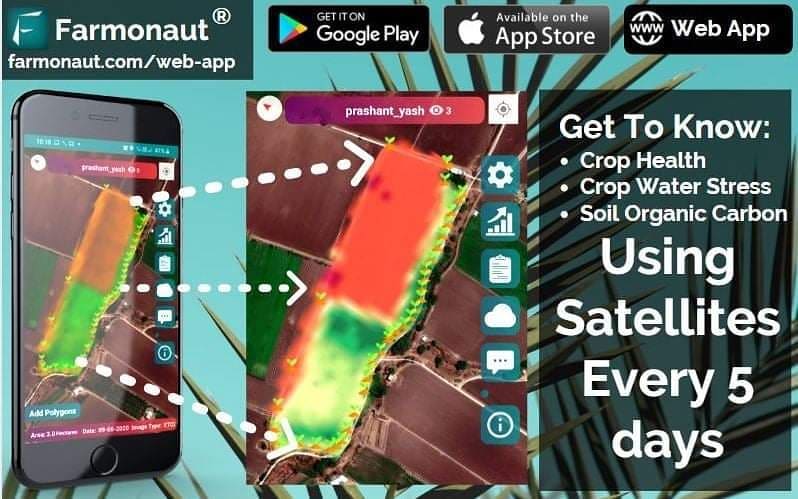
In the ever-evolving world of agriculture, technology continues to play a pivotal role in enhancing productivity, sustainability, and efficiency. At the forefront of this agricultural revolution stands Farmonaut, a pioneering company that’s harnessing the power of satellite technology to transform the way we approach farming. In this comprehensive blog post, we’ll explore how Farmonaut is changing the game for farmers worldwide, offering innovative solutions that were once thought to be out of reach for many in the agricultural sector.
The Power of Satellite Imagery in Agriculture
At the heart of Farmonaut’s technology lies the utilization of advanced satellite imagery. But how exactly does this work, and why is it so revolutionary for farmers? Let’s dive in.
Matching User Location with Satellite Coordinates
One of the key features of Farmonaut’s system is its ability to match a user’s location with precise satellite coordinates. This means that when a farmer accesses the Farmonaut platform, they’re not just looking at generic satellite images – they’re seeing up-to-date, high-resolution imagery of their specific fields.
This level of precision is crucial for several reasons:
- It allows farmers to monitor their crops without physically visiting every part of their fields
- It provides a bird’s-eye view of the entire farm, which can reveal patterns or issues not visible from ground level
- It enables farmers to track changes over time, comparing current conditions with historical data
Image Processing Algorithms: The Brain Behind the Scenes
Once the satellite imagery is obtained, Farmonaut’s sophisticated image processing algorithms go to work. These algorithms are designed to analyze the imagery and extract valuable information about crop health, soil conditions, and potential issues.
Some key aspects of these algorithms include:
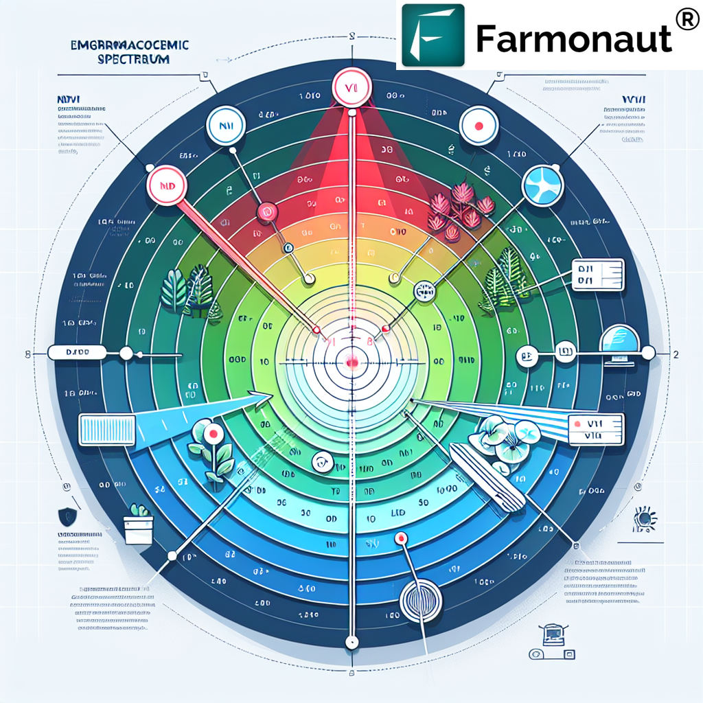
- Vegetation health analysis using various spectral bands, including infrared
- Detection of anomalies that might indicate pest infestations or disease outbreaks
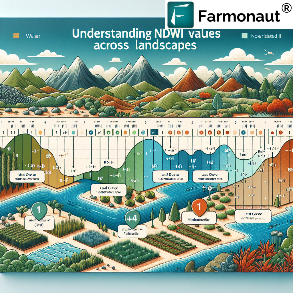
- Assessment of soil moisture levels and potential water stress in crops
- Estimation of crop yield based on current conditions
The result is a comprehensive set of data that provides farmers with actionable insights about their fields.
Understanding the Color-Coded Imagery
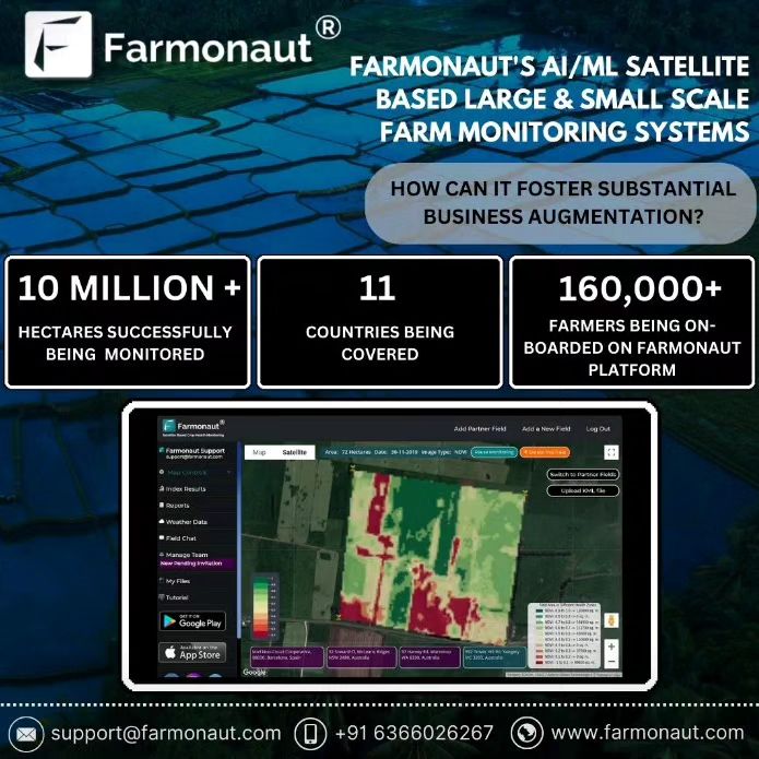
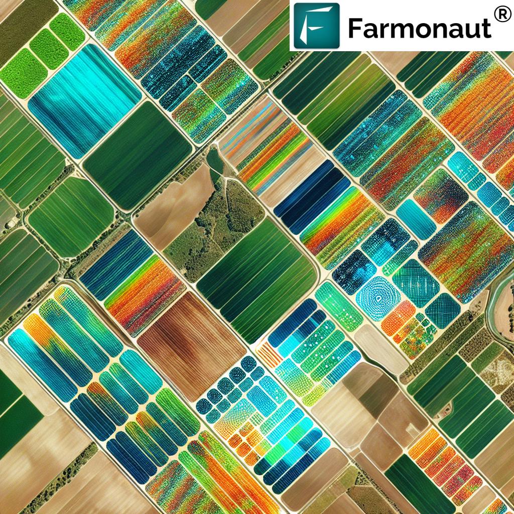
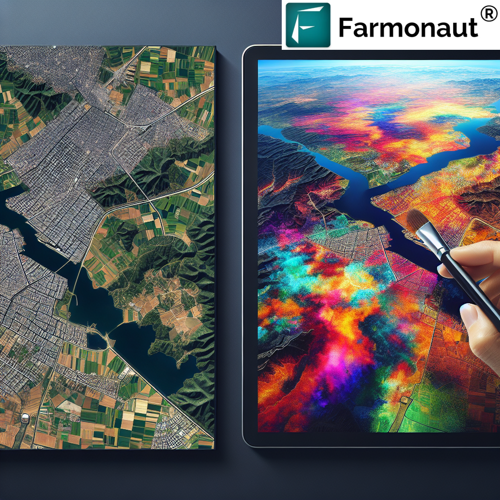
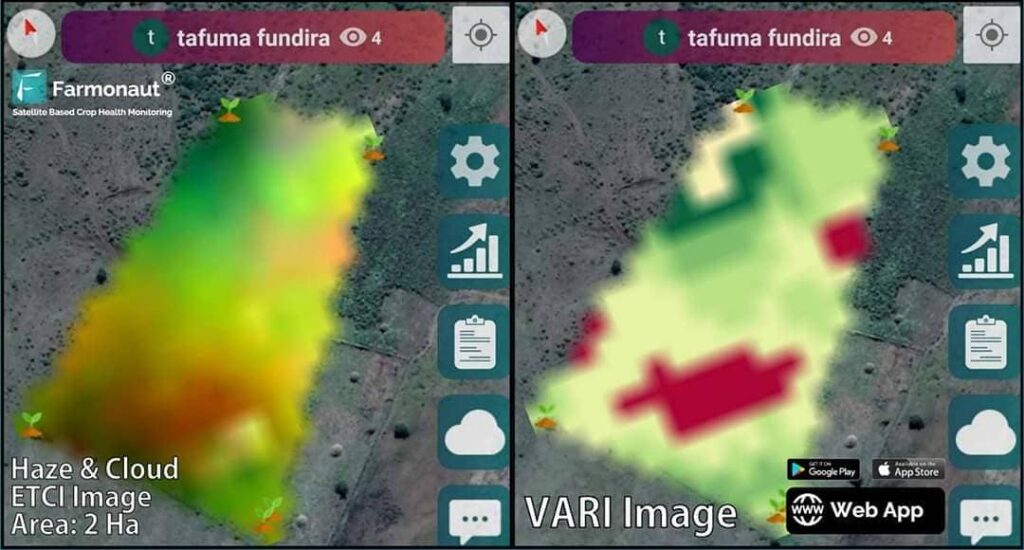
One of the most visually striking aspects of Farmonaut’s system is the color-coded imagery it produces. In these images, different colors represent varying levels of crop health and vigor. Let’s break down what these colors typically mean:
- Green: Indicates healthy vegetation with good growth and vigor
- Yellow: Represents areas of moderate stress or slightly reduced plant health
- Red: Highlights areas of significant stress or unhealthy vegetation
This color-coding system allows farmers to quickly identify problem areas in their fields without having to interpret complex data or charts. It’s a simple yet powerful tool that can guide farmers’ decision-making processes.
Early Problem Detection and Prevention
One of the most significant advantages of Farmonaut’s technology is its ability to detect potential issues early on. By identifying areas of stress or reduced health (represented by yellow or red in the imagery), farmers can take proactive steps to address problems before they escalate.
The Power of Early Intervention
When farmers spot yellow or red areas in their field imagery, they have the opportunity to:
- Physically inspect the affected areas to determine the cause of stress
- Apply targeted treatments such as additional fertilizers or plant growth regulators
- Implement pest control measures if an infestation is detected
- Adjust irrigation strategies to address water stress issues
By catching and addressing these issues early, farmers can potentially save entire crops from failure, significantly improving their yields and profitability.
Crop Issue Identification System: A Farmer’s Best Friend
In addition to providing valuable imagery, Farmonaut offers a crop issue identification system that takes problem-solving to the next level. This system allows farmers to describe the issues they’re observing in their fields and receive real-time, government-approved remedies.
Here’s how it works:
- Farmers input observations about their crops, such as discoloration, wilting, or unusual growth patterns
- The system analyzes this information along with the satellite imagery data
- Based on this analysis, it provides specific recommendations for addressing the issue
- These recommendations are sourced from government-approved guidelines, ensuring their reliability and effectiveness
This feature essentially puts an agricultural expert in every farmer’s pocket, providing them with the knowledge and guidance they need to tackle a wide range of crop issues.
Beyond Crop Health: Additional Valuable Data
While crop health monitoring is a crucial aspect of Farmonaut’s offerings, the platform provides even more valuable data to farmers. Two particularly important metrics are:
Vegetation Water Stress
Vegetation water stress data helps farmers understand how well their crops are coping with available water resources. This information is crucial for:
- Optimizing irrigation schedules
- Identifying areas that may need additional water
- Detecting potential irrigation system failures or inefficiencies
- Planning for drought conditions
By monitoring vegetation water stress, farmers can ensure their crops receive the right amount of water at the right time, leading to improved yields and more efficient use of water resources.
Soil Organic Carbon
Soil organic carbon is a key indicator of soil health and fertility. Farmonaut’s ability to provide data on soil organic carbon levels offers several benefits:
- Helps farmers understand the overall health of their soil
- Guides decisions about soil amendments and fertilization strategies
- Supports sustainable farming practices by promoting carbon sequestration
- Assists in long-term soil management planning
By monitoring soil organic carbon levels, farmers can work towards improving soil health, which in turn leads to better crop yields and more sustainable farming practices.
Farmonaut’s Commitment to Accessibility and Innovation
At Farmonaut, we believe that advanced agricultural technologies should be within reach of every farmer, regardless of the size of their operation or their technical expertise. This commitment to accessibility is evident in several aspects of our platform:
- User-friendly interface that makes complex data easy to understand and act upon
- Affordable pricing models that make our technology accessible to small and large farms alike
- Continuous development of new features to address evolving agricultural challenges
- Integration with mobile devices, allowing farmers to access crucial data anywhere, anytime
We’re proud to be at the forefront of bringing state-of-the-art technologies to farmers worldwide, and we’re committed to continuing this mission in the years to come.
Farmonaut vs. Traditional Monitoring Methods
To truly appreciate the value that Farmonaut brings to modern agriculture, it’s helpful to compare our satellite-based system with more traditional monitoring methods like drones and IoT sensors. Here’s a comparison table that highlights some key differences:
| Feature | Farmonaut Satellite System | Drone-based Monitoring | IoT Sensor Networks |
|---|---|---|---|
| Coverage Area | Entire farm with a single image | Limited by drone flight time and regulations | Limited by number and placement of sensors |
| Frequency of Updates | Regular updates based on satellite passes | Dependent on manual drone flights | Real-time, but only for specific measured points |
| Initial Setup Cost | Low – No hardware required | High – Requires drone purchase and training | High – Requires purchase and installation of sensors |
| Maintenance | Minimal – Software updates handled remotely | Moderate – Drone maintenance and repairs needed | High – Regular sensor maintenance and replacements |
| Ease of Use | High – User-friendly interface with minimal training required | Moderate – Requires skilled drone operators | Moderate – Requires technical knowledge for setup and troubleshooting |
| Data Analysis | Advanced AI-powered analysis included | Often requires separate software and expertise | Varies – May require additional software for comprehensive analysis |
| Scalability | Highly scalable – Same system works for small and large farms | Limited by drone capabilities and regulations | Requires additional sensors and infrastructure for larger areas |
As you can see, while each method has its strengths, Farmonaut’s satellite-based system offers a unique combination of comprehensive coverage, ease of use, and advanced analysis capabilities that make it an excellent choice for many farmers.
Getting Started with Farmonaut
If you’re interested in harnessing the power of satellite technology for your farm, getting started with Farmonaut is easy. Here are some ways to begin:
- Download our mobile app:
- For Android: Farmonaut on Google Play
- For iOS: Farmonaut on the App Store
- Access our web application: Farmonaut Web App
- Explore our API for developers: Farmonaut API
- Check out our API documentation: Farmonaut API Documentation
Subscribing to Farmonaut
Ready to take your farming to the next level? Subscribe to Farmonaut today and start benefiting from our advanced satellite-based farm management tools:
The Future of Farming with Farmonaut
As we look to the future, we at Farmonaut are excited about the continued evolution of agricultural technology. We’re committed to staying at the forefront of innovation, constantly developing new features and capabilities to help farmers meet the challenges of modern agriculture.
Some areas we’re particularly excited about include:
- Enhanced AI capabilities for even more accurate crop predictions and recommendations
- Integration with other smart farming technologies for a more comprehensive farm management solution
- Expanded use of blockchain technology for improved traceability and transparency in the food supply chain
- Advanced climate modeling to help farmers adapt to changing weather patterns
With Farmonaut, farmers aren’t just keeping up with the times – they’re staying ahead of the curve, equipped with the tools and insights they need to thrive in an increasingly complex and challenging agricultural landscape.
Conclusion: Empowering Farmers for a Sustainable Future
In conclusion, Farmonaut represents a significant leap forward in agricultural technology. By harnessing the power of satellite imagery, advanced algorithms, and user-friendly interfaces, we’re making precision agriculture accessible to farmers of all sizes and backgrounds.
Our technology enables farmers to:
- Monitor crop health with unprecedented accuracy and ease
- Detect and address issues before they become major problems
- Optimize resource use, including water and fertilizers
- Make data-driven decisions that improve yields and profitability
- Contribute to more sustainable farming practices
As we face the challenges of feeding a growing global population while preserving our planet’s resources, tools like Farmonaut will play an increasingly crucial role. We’re proud to be part of this agricultural revolution, and we look forward to continuing our mission of empowering farmers worldwide.
Remember, with Farmonaut, the future of farming is not just on the horizon – it’s already here, ready to be harnessed by forward-thinking farmers like you. Join us in shaping the future of agriculture, one satellite image at a time.
Frequently Asked Questions (FAQ)
Q: How often are satellite images updated in the Farmonaut system?
A: The frequency of satellite image updates can vary depending on the satellite provider and your specific location. Typically, we offer updates every 3-5 days, but this can be more frequent in some areas.
Q: Is Farmonaut suitable for small-scale farmers?
A: Absolutely! Farmonaut is designed to be accessible and useful for farms of all sizes. Our pricing model is flexible to accommodate different farm sizes and needs.
Q: How accurate is the crop health information provided by Farmonaut?
A: Our crop health assessments are highly accurate, thanks to our advanced image processing algorithms and the use of multiple spectral bands in our analysis. However, it’s always recommended to combine our insights with on-the-ground observations for the best results.
Q: Can Farmonaut detect specific crop diseases?
A: While Farmonaut can detect areas of stress or unhealthy vegetation, identifying specific diseases often requires on-site inspection. Our crop issue identification system can guide you towards potential causes based on the symptoms you observe.
Q: Is an internet connection required to use Farmonaut?
A: An internet connection is required to access real-time data and updates. However, some features of our mobile app can work offline, allowing you to view previously downloaded data in the field.
Q: How does Farmonaut’s technology compare to using drones for farm monitoring?
A: While drones can provide high-resolution imagery, Farmonaut offers broader coverage, more frequent updates, and doesn’t require any hardware investment or specialized piloting skills. Our satellite-based system is often more cost-effective and easier to use, especially for larger areas.
Q: Can Farmonaut help with irrigation management?
A: Yes, our vegetation water stress data is particularly useful for irrigation management. It can help you identify areas that need more water and optimize your irrigation schedules.
Q: Is my farm data secure with Farmonaut?
A: We take data security very seriously. All farm data is encrypted and stored securely, and we never share individual farm data without explicit permission.
Q: Does Farmonaut work for all types of crops?
A: Farmonaut is designed to work with a wide variety of crops, from grains and vegetables to fruit trees and vineyards. However, the level of detail and specific insights may vary depending on the crop type and growing conditions.
Q: How can I get technical support if I have issues with Farmonaut?
A: We offer customer support through various channels, including email, phone, and in-app chat. Our team is dedicated to helping you get the most out of our platform.


