Revolutionizing Agriculture: Farmonaut’s New Android App Features and the Future of Smart Farming
At Farmonaut, we are constantly striving to improve our services and make precision agriculture more accessible to farmers worldwide. We’re excited to announce several new features in our latest Android app update that will significantly enhance the farming experience for our users, particularly small and medium-sized farmers. In this comprehensive blog post, we’ll dive deep into these new features, explore their implications for modern agriculture, and discuss how they fit into the broader context of smart farming and precision agriculture.
New Features in Farmonaut’s Android App Update
Our latest Android app update introduces groundbreaking features designed to empower farmers with more accurate field management tools. Let’s explore these new additions in detail:
1. Field Boundary Points Mapping
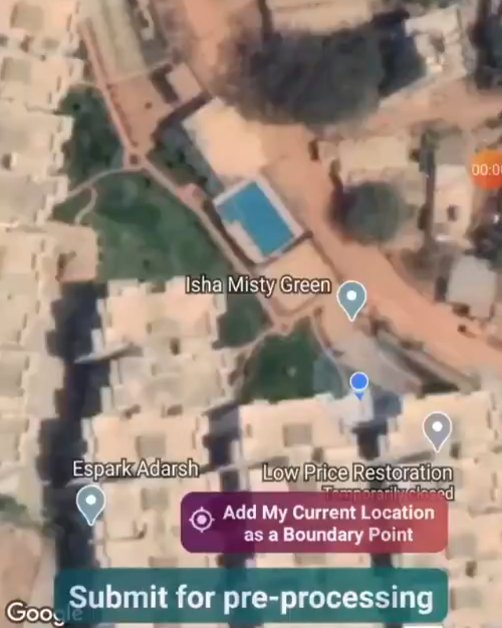
One of the most significant additions to our app is the ability for farmers to walk around their field perimeter and select their current location as one of the field boundary points. This feature is particularly beneficial for small and medium-sized farmers whose field locations may not be visible on Google Maps.
Here’s how it works:
- Farmers can now use their smartphone’s GPS to mark precise points along their field boundaries.
- As they walk the perimeter of their field, they can tap a button in the app to record each corner or significant change in direction.
- The app connects these points to create an accurate polygon representing the field’s shape and size.
- This data is then synchronized with our satellite imagery system for more precise monitoring and analysis.
The benefits of this feature are numerous:
- Improved accuracy in field measurements
- Better alignment of satellite data with actual field boundaries
- More precise crop health monitoring and yield estimates
- Enhanced resource allocation based on accurate field sizes
2. Enhanced Satellite Imagery Integration
While not explicitly mentioned in the Instagram post, our commitment to smart farming and precision agriculture means we’re constantly improving our satellite imagery capabilities. With this update, we’ve enhanced the integration of high-resolution satellite data into the app, providing farmers with even more detailed insights into their crops.
Key improvements include:
- Higher frequency of satellite image updates
- Improved resolution for more detailed crop analysis
- Enhanced vegetation indices for better crop health assessment
- Integration of multiple satellite data sources for comprehensive coverage
3. User Interface Improvements
We’ve also made significant improvements to the app’s user interface, making it more intuitive and easier to navigate. These changes include:
- A redesigned dashboard for quick access to critical farm data
- Simplified navigation menus for easier feature access
- Improved data visualization tools for better understanding of crop health trends
- New tutorials and help sections to guide users through new features
The Importance of Accurate Field Mapping in Precision Agriculture
The introduction of our field boundary points mapping feature underscores the critical role of accurate field delineation in modern agriculture. Let’s explore why this is so important:
Precise Resource Management
Knowing the exact boundaries and size of a field allows farmers to:
- Calculate precise amounts of seeds, fertilizers, and pesticides needed
- Reduce waste and over-application of resources
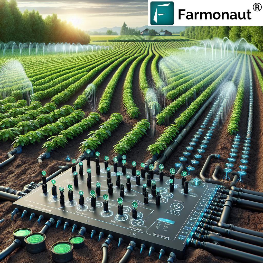
- Optimize irrigation systems based on actual field dimensions
- Plan crop rotations and planting strategies more effectively
Improved Satellite Data Accuracy
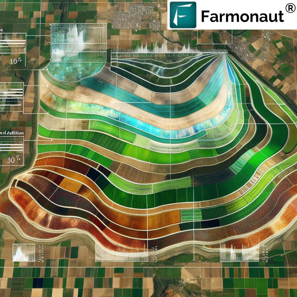
Accurate field boundaries significantly enhance the value of satellite-based remote-sensing data:
- Satellite imagery can be precisely aligned with actual field boundaries
- Crop health assessments become more accurate and targeted
- Anomalies within fields can be pinpointed with greater precision
- Historical data analysis becomes more reliable for long-term planning
Enhanced Decision-Making
With precise field mapping, farmers can make better-informed decisions:
- Identify underperforming areas within fields more accurately
- Plan variable rate applications of inputs based on field variability
- Assess the impact of different management practices on specific field sections
- Make more accurate yield predictions and financial planning
The Role of Satellite Technology in Modern Agriculture
At Farmonaut, we’re passionate about harnessing the power of satellite technology to revolutionize farming. Let’s delve into how satellite data is transforming agriculture:
Comprehensive Crop Monitoring
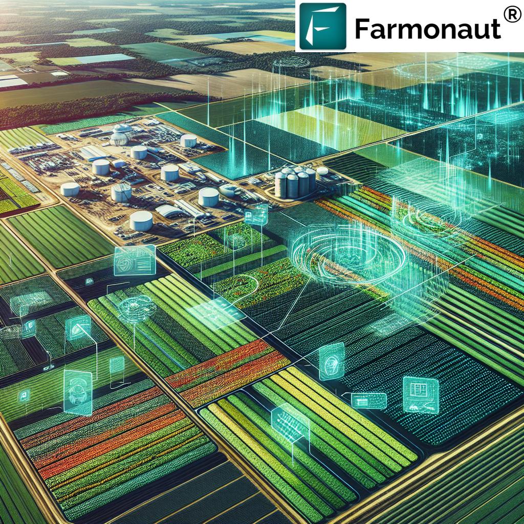
Satellite imagery provides a bird’s-eye view of entire farms, allowing for:
- Regular monitoring of crop health and growth stages
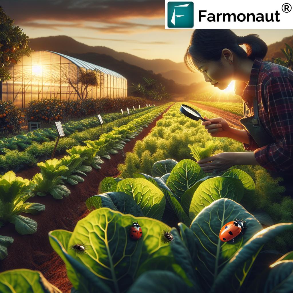
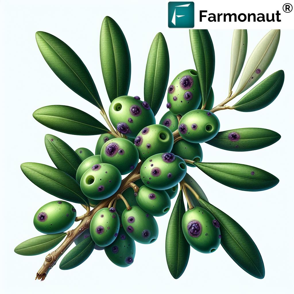
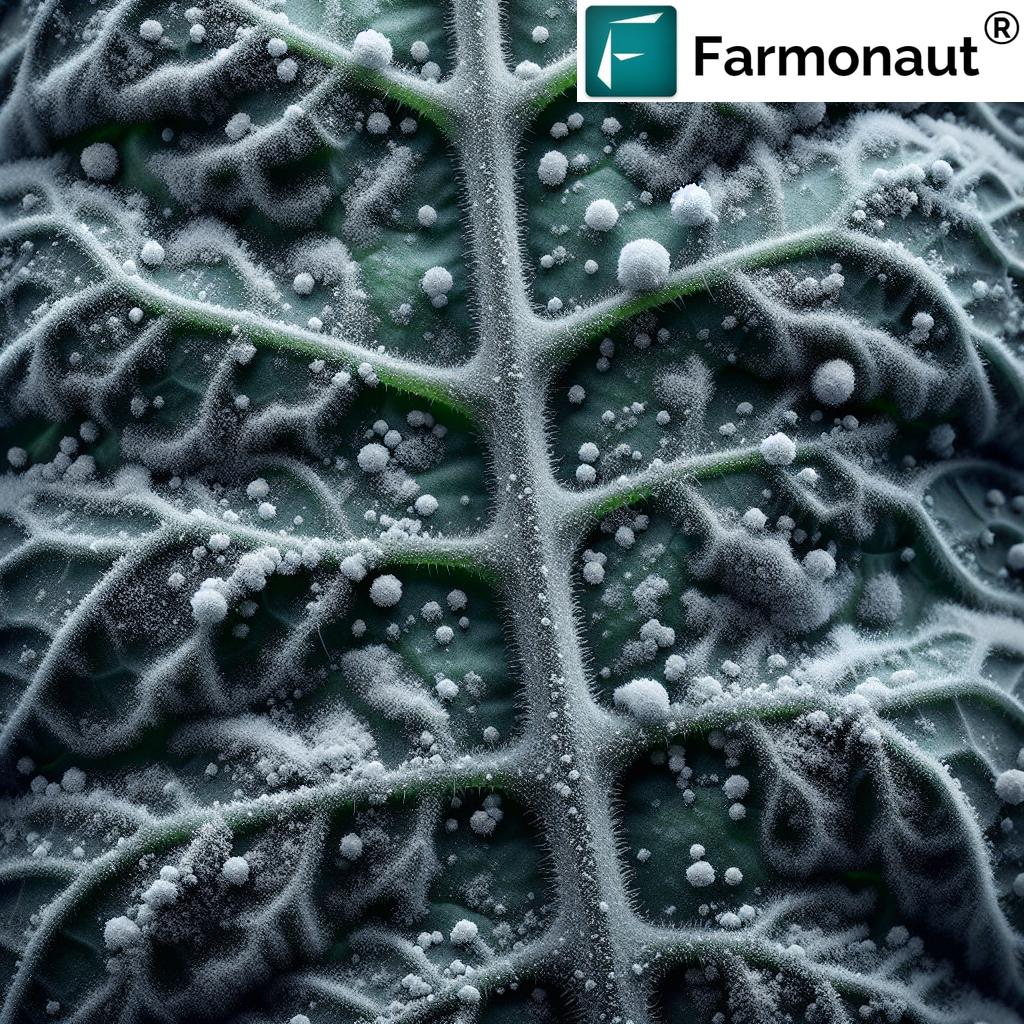
- Early detection of pest infestations or diseases
- Identification of nutrient deficiencies or water stress
- Tracking of crop development throughout the growing season
Weather and Climate Analysis
Satellite data plays a crucial role in weather forecasting and climate analysis:
- Providing accurate short-term and long-term weather predictions
- Helping farmers plan planting, harvesting, and other critical activities
- Monitoring climate patterns to inform crop selection and management strategies
- Assessing the impact of weather events on crop health and yield
Resource Optimization
Satellite-based insights enable more efficient use of resources:
- Optimizing irrigation schedules based on soil moisture data
- Guiding precision application of fertilizers and pesticides
- Reducing environmental impact through targeted resource use
- Improving overall farm productivity and sustainability
Comparing Farmonaut’s Satellite System with Drone and IoT-Based Monitoring
While drones and IoT devices have their place in modern agriculture, Farmonaut’s satellite-based system offers unique advantages. Let’s compare these technologies:
| Feature | Farmonaut Satellite System | Drone-Based Monitoring | IoT-Based Monitoring |
|---|---|---|---|
| Coverage Area | Large scale (entire farms/regions) | Limited to flight path | Limited to sensor placement |
| Frequency of Data Collection | Regular (daily to weekly) | As needed (requires manual flights) | Continuous (for installed sensors) |
| Initial Setup Cost | Low (subscription-based) | High (equipment purchase) | Medium to High (sensor network) |
| Operational Complexity | Low (automated data collection) | High (requires skilled operators) | Medium (maintenance of sensor network) |
| Data Analysis Capabilities | Advanced (AI and machine learning) | Moderate (depends on software) | Varies (depends on system) |
| Weather Dependency | Low (can penetrate clouds) | High (affected by wind/rain) | Low (continuous operation) |
| Scalability | Highly scalable (global coverage) | Limited by equipment and operators | Requires additional sensors for scaling |
As you can see, Farmonaut’s satellite-based system offers significant advantages in terms of coverage, cost-effectiveness, and ease of use, making it an ideal choice for farmers of all sizes.
The Future of Precision Agriculture with Farmonaut
As we continue to innovate and improve our services, we envision a future where precision agriculture is accessible to every farmer, regardless of farm size or location. Here’s a glimpse into what we’re working on:
AI-Powered Crop Predictions
We’re developing advanced AI algorithms that can:
- Predict crop yields with increasing accuracy
- Forecast potential pest and disease outbreaks
- Recommend optimal planting and harvesting times based on historical and real-time data
- Suggest crop rotations for soil health and yield optimization
Integration with IoT Devices
While our satellite system is powerful on its own, we recognize the value of ground-level data. We’re working on:
- Seamless integration with soil sensors, weather stations, and other IoT devices
- Combining satellite and ground-based data for more comprehensive insights
- Developing a unified platform for managing all farm data sources
Enhanced Mobile Capabilities
We’re continuously improving our mobile apps to provide:
- Real-time alerts and notifications based on satellite and AI insights
- Augmented reality features for in-field crop inspection and problem identification
- Offline capabilities for farmers in areas with limited internet connectivity
Blockchain Integration for Traceability
Building on our existing blockchain solutions, we’re expanding our traceability features to:
- Provide end-to-end tracking of crops from field to consumer
- Enhance food safety and quality assurance processes
- Support fair trade and sustainable farming practices
The Impact of Precision Agriculture on Global Food Security
As we develop and deploy these advanced agricultural technologies, it’s important to consider their broader impact on global food security. Precision agriculture, powered by satellite technology and AI, has the potential to:
Increase Crop Yields
- Optimize growing conditions for maximum productivity
- Reduce crop losses due to pests, diseases, and environmental factors
- Enable more efficient use of limited agricultural land
Improve Resource Efficiency
- Reduce water usage through precision irrigation
- Minimize fertilizer and pesticide application, lowering environmental impact
- Optimize energy use in farm operations
Enhance Resilience to Climate Change
- Provide early warnings for extreme weather events
- Guide adaptation strategies for changing climate patterns
- Support the development of more resilient crop varieties
Empower Smallholder Farmers
- Make advanced agricultural technologies accessible to farmers of all scales
- Improve decision-making capabilities for resource-limited farmers
- Increase profitability and sustainability of small farms
Case Studies: Success Stories with Farmonaut
To illustrate the real-world impact of our technology, let’s look at a few case studies of farmers who have benefited from Farmonaut’s solutions:
Case Study 1: Small-Scale Vegetable Farmer in India
Sunil Khandalkar, a vegetable farmer with a 5-acre plot in Maharashtra, India, struggled with inconsistent yields and high input costs. After adopting Farmonaut’s platform:
- He accurately mapped his field boundaries, optimizing resource allocation
- Satellite-based crop health monitoring helped him identify and address issues early
- Precision irrigation recommendations helped him reduce his water usage.
- The overall crop yield increased, while input costs decreased.
Getting Started with Farmonaut
Ready to transform your farming practices with the power of satellite technology and AI? Here’s how you can get started with Farmonaut:
- Download our app:
- For Android: Google Play Store
- For iOS: Apple App Store
- Create an account and set up your farm profile
- Use our new field boundary mapping feature to accurately define your fields
- Explore our satellite imagery and AI-powered insights
- Take advantage of our personalized recommendations to optimize your farming practices
For developers and businesses interested in integrating our technology into their own solutions, check out our API documentation and developer resources.
Subscription Options
To access our full range of features and benefits, consider subscribing to Farmonaut. We offer flexible plans to suit farms of all sizes:
Frequently Asked Questions (FAQ)
Here are some common questions about Farmonaut and our services:
Q: How often are satellite images updated?
A: Our satellite imagery is typically updated every 3-5 days, depending on weather conditions and satellite availability. Premium users may have access to more frequent updates.
Q: Can Farmonaut be used for all types of crops?
A: Yes, our system is designed to work with a wide range of crops, from grains and vegetables to tree fruits and specialty crops. Our AI models are continuously trained on diverse crop data to provide accurate insights.
Q: Is an internet connection required to use the Farmonaut app in the field?
A: While an internet connection provides the best experience and real-time updates, many features of our app can work offline. You can download data when you have a connection and access it later in the field.
Q: How accurate is the field boundary mapping feature?
A: The accuracy of field boundary mapping depends on the GPS capabilities of your smartphone. In general, it provides accuracy within 2-5 meters, which is sufficient for most farming applications.
Q: Can Farmonaut integrate with my existing farm management software?
A: Yes, we offer API access that allows integration with many popular farm management systems. Contact our support team for specific integration options.
Q: Is my farm data secure with Farmonaut?
A: Absolutely. We take data security very seriously and employ industry-standard encryption and security measures to protect your farm data. We never share your personal information or farm data without your explicit consent.
Conclusion: Embracing the Future of Agriculture
As we continue to develop and refine our technology at Farmonaut, we remain committed to our mission of making precision agriculture accessible to farmers worldwide. The new features in our Android app update, particularly the field boundary points mapping, represent another step forward in this journey.
By combining the power of satellite technology, AI, and user-friendly mobile apps, we’re enabling farmers of all sizes to make more informed decisions, optimize their resources, and increase their productivity. As we face global challenges like climate change and food security, these tools will become increasingly vital in ensuring sustainable and efficient agricultural practices.
We invite you to join us in this agricultural revolution. Whether you’re a small-scale vegetable farmer, a large commercial operation, or somewhere in between, Farmonaut has the tools and insights to help you take your farming to the next level.
Download our app today and experience the future of farming. Together, we can cultivate a more sustainable and prosperous agricultural future.
Happy Farming!
For more information or to get started with Farmonaut, visit our website or contact our support team.


