Revolutionizing Agriculture: How Remote Sensing and GIS Drive Precision Farming for Optimal Crop Yield and Soil Health
In today’s rapidly evolving agricultural landscape, the integration of cutting-edge technologies has become essential for sustainable and efficient farming practices. At Farmonaut, we are at the forefront of this agricultural revolution, harnessing the power of remote sensing, Geographic Information Systems (GIS), and satellite technology to transform the way we approach agriculture and horticulture. Our mission is to make precision agriculture accessible to farmers worldwide, enabling them to optimize their crop yields, enhance soil health, and manage their fields with unprecedented accuracy.
The Power of Remote Sensing in Agriculture
Remote sensing has emerged as a game-changer in the agricultural sector, providing farmers with valuable insights into their crops and land without the need for physical contact. This technology allows us to collect data about the Earth’s surface using sensors mounted on satellites, aircraft, or drones. In the context of agriculture, remote sensing offers numerous benefits:
- Real-time crop health monitoring
- Early detection of pest infestations and diseases
- Accurate assessment of soil moisture levels
- Prediction of crop yields
- Optimization of resource allocation
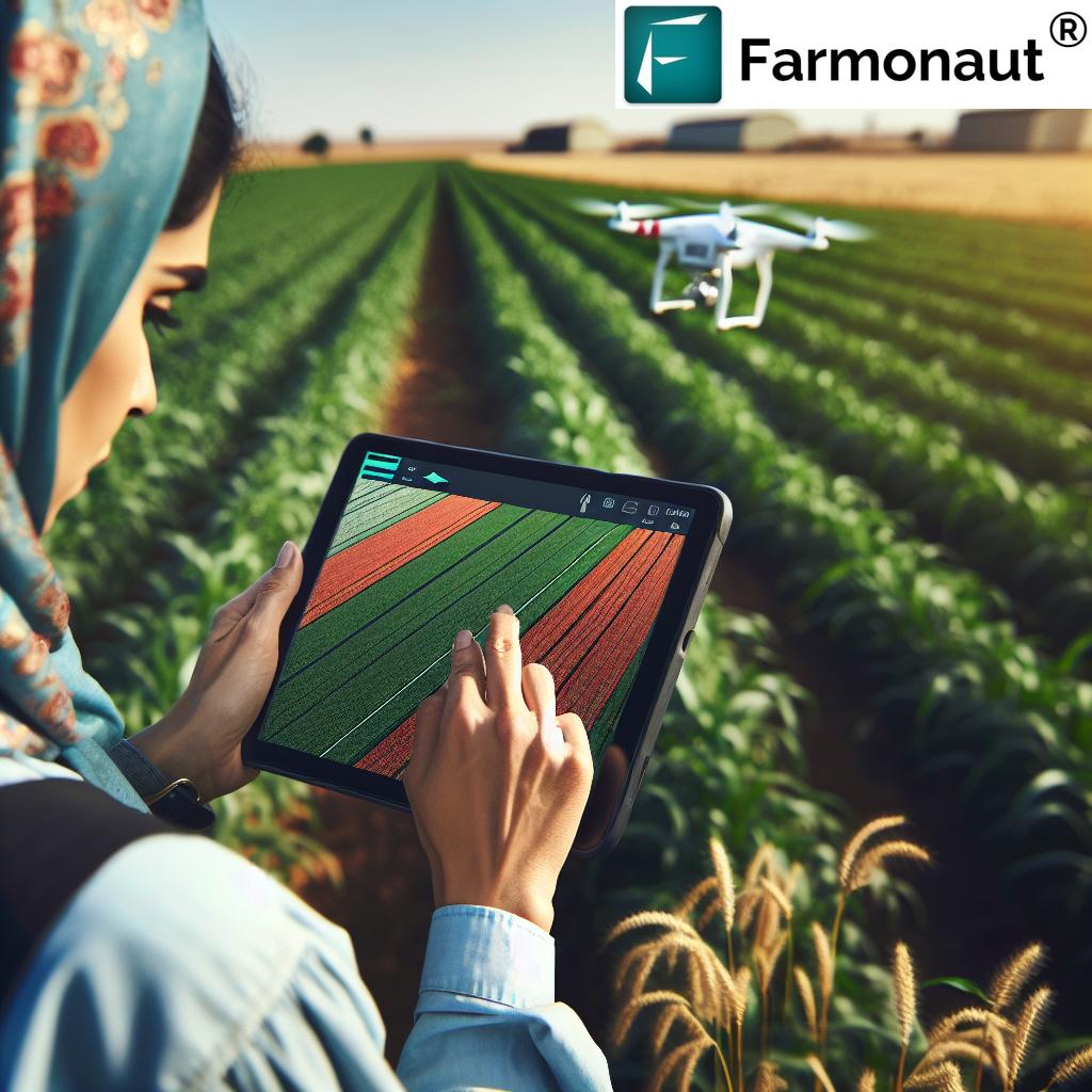
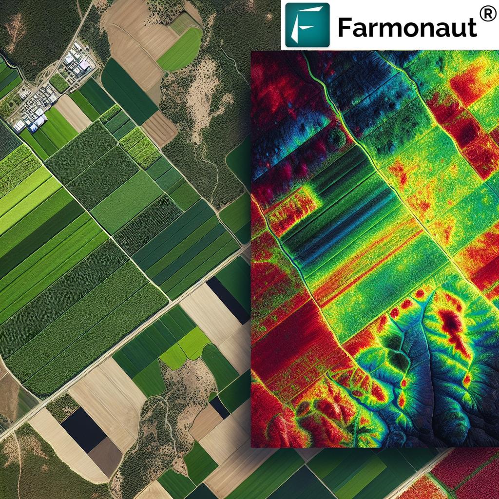
At Farmonaut, we leverage advanced satellite imagery to provide farmers with comprehensive insights into their fields. Our platform utilizes multispectral imagery to analyze various aspects of crop and soil health, enabling precise decision-making and targeted interventions.
GIS: Mapping the Future of Agriculture
Geographic Information Systems (GIS) play a crucial role in modern agriculture by integrating various data sources to create detailed maps and spatial analyses of farmland. GIS technology allows farmers to:
- Visualize field boundaries and crop distribution
- Analyze topography and drainage patterns
- Plan efficient irrigation systems
- Track and manage farm equipment
- Optimize planting and harvesting schedules
Our Farmonaut platform incorporates advanced GIS capabilities, enabling farmers to create detailed maps of their fields and analyze spatial patterns in crop health, soil fertility, and other critical factors. This level of insight allows for more precise field management and resource allocation, ultimately leading to improved productivity and sustainability.
Satellite Technology: Eyes in the Sky for Precision Agriculture
The use of satellite technology in agriculture has revolutionized the way we monitor and manage crops on a global scale. Satellites provide frequent, high-resolution imagery of agricultural lands, offering several advantages:
- Wide coverage area, ideal for large-scale farming operations
- Regular and consistent data collection
- Ability to penetrate cloud cover (with certain satellite sensors)
- Cost-effective compared to traditional surveying methods
- Historical data archives for long-term analysis
At Farmonaut, we harness the power of satellite imagery to provide our users with up-to-date information on their crops and fields. Our platform processes and analyzes satellite data to generate actionable insights, enabling farmers to make informed decisions about their agricultural practices.
NDVI: The Key to Understanding Vegetation Health
One of the most valuable tools in remote sensing for agriculture is the Normalized Difference Vegetation Index (NDVI). NDVI is a numerical indicator that uses the visible and near-infrared bands of the electromagnetic spectrum to analyze the health and density of vegetation. This index provides crucial information about:
- Crop vigor and biomass
- Photosynthetic activity
- Stress levels in plants
- Potential yield estimates
- Crop growth stages
Our Farmonaut platform utilizes NDVI data to generate detailed crop health maps, allowing farmers to identify areas of concern and take targeted action to improve crop performance. By monitoring NDVI values over time, farmers can track the progress of their crops throughout the growing season and make data-driven decisions about irrigation, fertilization, and pest management.
Precision Agriculture: Transforming Farming Practices
Precision agriculture is a farming management concept that uses detailed, site-specific information to optimize agricultural inputs and practices. This approach aims to increase efficiency, reduce waste, and maximize yields while minimizing environmental impact. Key components of precision agriculture include:
- Variable rate technology for precise application of inputs
- GPS-guided machinery for accurate planting and harvesting
- Soil sampling and mapping for targeted fertilization
- Yield monitoring and mapping for performance analysis
- Weather monitoring and forecasting for optimized decision-making
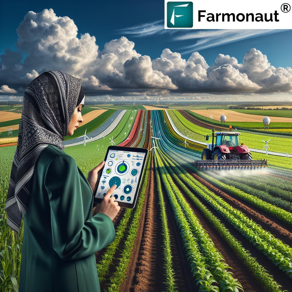
At Farmonaut, we are committed to making precision agriculture accessible to farmers of all sizes. Our platform integrates various data sources and technologies to provide a comprehensive suite of precision farming tools, empowering farmers to implement data-driven strategies for improved crop management.
Drones in Agriculture: A Bird’s-Eye View of Crop Health
While satellite imagery provides valuable large-scale data, drones offer a more flexible and high-resolution option for monitoring crops at a field level. Drones equipped with multispectral cameras can capture detailed images of crops, providing insights into:
- Plant count and spacing
- Weed identification and mapping
- Crop damage assessment
- Precise application of pesticides and fertilizers
- 3D mapping of field topography
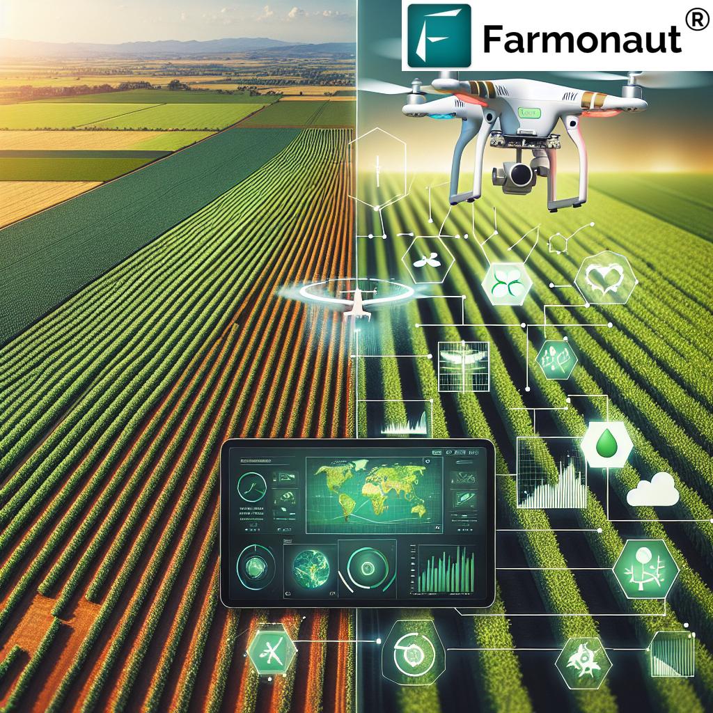
Although Farmonaut primarily focuses on satellite-based solutions, we recognize the importance of drone technology in precision agriculture. Our platform can integrate drone-captured data to complement satellite imagery, providing farmers with a comprehensive view of their fields at multiple scales.
Smart Farming: The Future of Agriculture
Smart farming represents the integration of advanced technologies, including IoT sensors, artificial intelligence, and data analytics, into agricultural practices. This approach aims to create a more connected, efficient, and sustainable farming ecosystem. Key aspects of smart farming include:
- Real-time monitoring of crop and soil conditions
- Automated irrigation and fertigation systems
- Predictive analytics for pest and disease management
- Integration of weather data for informed decision-making
- Farm management software for streamlined operations
At Farmonaut, we are committed to advancing smart farming practices through our innovative platform. By combining satellite imagery, AI-powered analytics, and user-friendly interfaces, we enable farmers to embrace the benefits of smart farming technologies and improve their overall agricultural productivity.
Soil Health: The Foundation of Sustainable Agriculture
Maintaining optimal soil health is crucial for sustainable agriculture and long-term crop productivity. Remote sensing and GIS technologies play a vital role in monitoring and managing soil health by providing information on:
- Soil moisture content
- Organic matter levels
- Nutrient distribution
- Soil erosion patterns
- Salinity and pH levels
Our Farmonaut platform incorporates soil health monitoring capabilities, allowing farmers to track changes in soil conditions over time and implement targeted interventions to improve soil quality. By maintaining healthy soils, farmers can enhance crop yields, reduce input costs, and promote environmental sustainability.
Irrigation Management: Optimizing Water Use in Agriculture
Efficient irrigation management is essential for conserving water resources and maximizing crop yields. Remote sensing and GIS technologies offer valuable tools for optimizing irrigation practices, including:
- Soil moisture mapping
- Evapotranspiration monitoring
- Crop water stress detection
- Irrigation system performance analysis
- Water use efficiency calculations
At Farmonaut, we provide farmers with detailed insights into their crops’ water requirements and soil moisture levels, enabling them to make informed decisions about irrigation timing and volume. By optimizing water use, farmers can reduce costs, conserve resources, and improve overall crop health.
Crop Monitoring: From Planting to Harvest
Effective crop monitoring throughout the growing season is crucial for maximizing yields and addressing potential issues before they become significant problems. Remote sensing and GIS technologies enable continuous monitoring of:
- Crop emergence and stand count
- Growth stage progression
- Nutrient deficiencies
- Pest and disease outbreaks
- Crop stress due to environmental factors
Our Farmonaut platform provides farmers with regular updates on crop health and development, allowing for timely interventions and optimized management practices. By closely monitoring crops throughout the season, farmers can maximize their yields and reduce the risk of crop failures.
Yield Prediction: Forecasting Agricultural Production
Accurate yield prediction is essential for farm planning, resource allocation, and market forecasting. Remote sensing and GIS technologies offer powerful tools for estimating crop yields, including:
- Analysis of historical yield data
- Integration of current crop health information
- Consideration of weather patterns and climate data
- Assessment of soil conditions and fertility
- Modeling of crop growth and development
At Farmonaut, we utilize advanced algorithms and machine learning techniques to provide farmers with accurate yield predictions based on satellite imagery, historical data, and environmental factors. These predictions help farmers make informed decisions about harvesting, storage, and marketing their crops.
Agritech: Driving Innovation in Agriculture
The agritech sector is rapidly evolving, with new technologies and innovations constantly emerging to address the challenges faced by modern agriculture. Some key areas of agritech development include:
- Artificial intelligence and machine learning for crop analysis
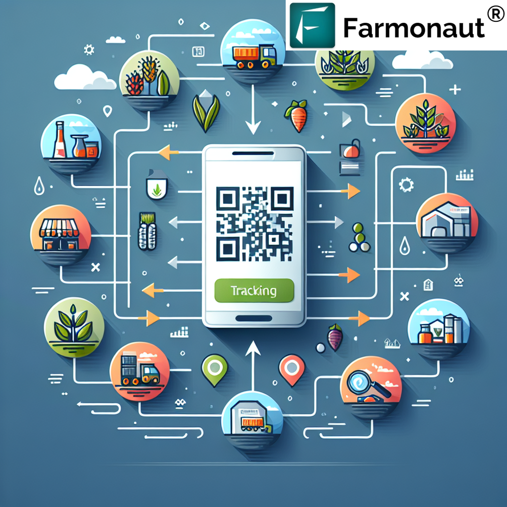
- Blockchain technology for supply chain transparency
- Robotics and automation for farm operations
- Vertical farming and controlled environment agriculture
- Genetic engineering and precision breeding techniques
As a leader in the agritech space, Farmonaut is committed to staying at the forefront of technological innovation. We continuously update and improve our platform to incorporate the latest advancements in remote sensing, GIS, and data analytics, ensuring that our users have access to the most cutting-edge tools for precision agriculture.
Vegetation Mapping: Understanding Crop Distribution and Health
Vegetation mapping is a crucial application of remote sensing and GIS in agriculture, providing valuable insights into crop distribution, health, and productivity. This process involves:
- Classification of land cover types
- Identification of crop types and varieties
- Assessment of vegetation density and vigor
- Detection of anomalies and stress patterns
- Monitoring of changes in vegetation over time
Our Farmonaut platform utilizes advanced vegetation mapping techniques to provide farmers with detailed, up-to-date information about their crops and surrounding vegetation. This information is crucial for making informed decisions about crop management, resource allocation, and land use planning.
Field Management: Optimizing Farm Operations
Effective field management is essential for maximizing agricultural productivity and sustainability. Remote sensing and GIS technologies offer powerful tools for optimizing various aspects of field management, including:
- Field boundary mapping and area calculation
- Crop rotation planning and record-keeping
- Identification of high and low-performing areas within fields
- Precision application of inputs based on spatial variability
- Optimization of machinery routes and field operations
At Farmonaut, we provide farmers with a comprehensive suite of field management tools, enabling them to streamline their operations, reduce costs, and improve overall farm productivity. Our platform integrates various data sources to provide a holistic view of field conditions and performance, empowering farmers to make data-driven decisions about their agricultural practices.
The Future of Agriculture: Embracing Technology for Sustainable Food Production
As we look to the future, it’s clear that technology will play an increasingly important role in addressing the challenges faced by global agriculture. The integration of remote sensing, GIS, and other advanced technologies into farming practices offers numerous benefits, including:
- Increased crop yields and quality
- Improved resource use efficiency
- Reduced environmental impact
- Enhanced food security and traceability
- Greater resilience to climate change and other challenges
At Farmonaut, we are committed to driving this technological revolution in agriculture, making advanced farming solutions accessible to farmers of all sizes and locations. By leveraging the power of satellite technology, artificial intelligence, and data analytics, we aim to empower farmers to make informed decisions, optimize their operations, and contribute to a more sustainable and productive agricultural future.
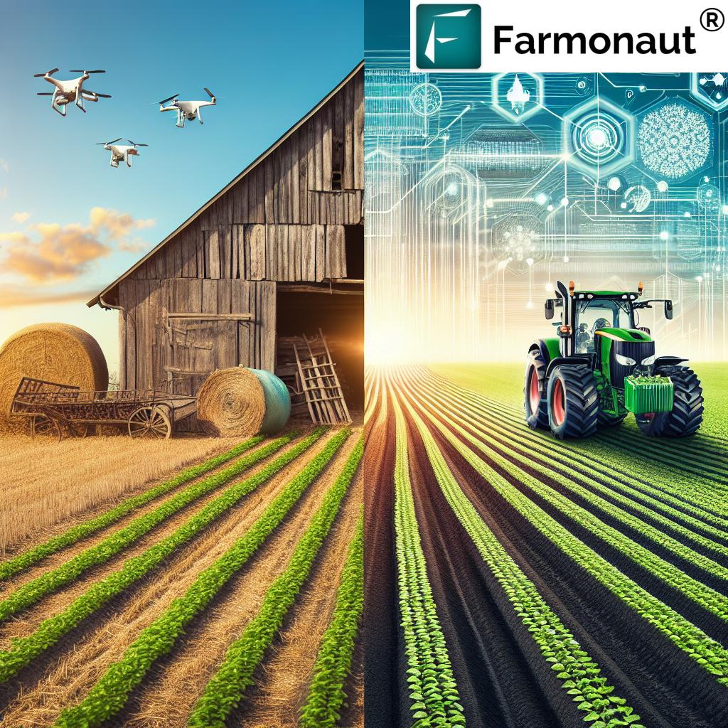
Comparison: Farmonaut’s Satellite System vs. Traditional Farming Methods
| Aspect | Traditional Method | Farmonaut Method | Benefits |
|---|---|---|---|
| Crop Monitoring | Manual field scouting, time-consuming and labor-intensive | Satellite-based remote sensing, providing frequent and comprehensive coverage | Timely detection of issues, reduced labor costs, improved accuracy |
| Soil Analysis | Periodic soil sampling and laboratory testing | Continuous monitoring of soil health indicators through satellite imagery | Real-time insights, more frequent updates, ability to track changes over time |
| Irrigation Management | Fixed schedules or visual assessment | Data-driven decisions based on soil moisture maps and crop water stress detection | Optimized water use, reduced costs, improved crop health |
| Yield Prediction | Based on historical data and subjective assessment | Advanced algorithms using satellite imagery, weather data, and AI | More accurate forecasts, better planning and resource allocation |
| Pest and Disease Management | Regular field inspections, often reactive | Early detection through spectral analysis of crop health | Proactive management, reduced crop losses, optimized pesticide use |
| Field Mapping | Manual surveys or basic GPS mapping | High-resolution satellite imagery and GIS analysis | Accurate field boundaries, identification of problem areas, improved planning |
| Resource Application | Uniform application across fields | Variable rate application based on spatial variability maps | Optimized input use, reduced costs, minimized environmental impact |
| Data Collection and Analysis | Manual record-keeping, limited data integration | Automated data collection, AI-powered analytics, and integrated dashboards | Comprehensive insights, data-driven decision-making, improved farm management |
Frequently Asked Questions (FAQ)
-
Q: How often does Farmonaut update its satellite imagery?
A: Our platform provides regular updates, typically every 3-5 days, depending on satellite availability and weather conditions. This ensures that farmers have access to the most up-to-date information about their fields. -
Q: Can Farmonaut’s technology be used for all types of crops?
A: Yes, our platform is designed to work with a wide range of crops, including grains, fruits, vegetables, and cash crops. The satellite imagery and analysis techniques we use can be applied to virtually any type of vegetation. -
Q: How accurate is the yield prediction feature?
A: Our yield prediction algorithms are highly accurate, typically within 10-15% of actual yields. However, accuracy can vary depending on factors such as crop type, weather conditions, and the availability of historical data. -
Q: Is Farmonaut suitable for small-scale farmers?
A: Absolutely! We’ve designed our platform to be accessible and affordable for farmers of all scales, from small family farms to large commercial operations. Our tiered pricing model ensures that even small-scale farmers can benefit from precision agriculture technologies. -
Q: How does Farmonaut integrate with other farm management tools?
A: Farmonaut offers API access, allowing for seamless integration with other farm management software and tools. This enables farmers to create a comprehensive digital ecosystem for their operations. -
Q: Can Farmonaut’s technology help with organic farming practices?
A: Yes, our platform is particularly useful for organic farmers. By providing detailed insights into crop health and soil conditions, Farmonaut helps organic farmers optimize their natural pest control and fertilization strategies without relying on synthetic inputs. -
Q: How does Farmonaut ensure the security and privacy of farm data?
A: We take data security and privacy very seriously. All data transmitted through our platform is encrypted, and we adhere to strict data protection protocols. Farmers retain full ownership and control over their data at all times. -
Q: Does Farmonaut offer training or support for users?
A: Yes, we provide comprehensive training resources, including video tutorials, user guides, and webinars. Our customer support team is also available to assist users with any questions or issues they may encounter. -
Q: Can Farmonaut’s technology help with compliance and reporting requirements?
A: Absolutely. Our platform generates detailed reports on various aspects of farm management, including resource use, crop health, and yields. These reports can be invaluable for meeting regulatory requirements and participating in sustainability programs. -
Q: How does Farmonaut contribute to sustainable farming practices?
A: By optimizing resource use, reducing waste, and improving overall farm efficiency, Farmonaut helps farmers adopt more sustainable practices. Our technology enables precision application of inputs, minimizes environmental impact, and promotes soil health, all of which contribute to long-term agricultural sustainability.
Ready to revolutionize your farming practices with cutting-edge satellite technology and precision agriculture tools? Join Farmonaut today and take your farm management to the next level!
Visit our web application or download our mobile app for Android or iOS to get started. For developers interested in integrating our technology into their own applications, check out our API documentation.
Subscribe to Farmonaut’s services and start optimizing your agricultural operations today:
