Revolutionizing Agriculture: The Integration of Advanced Technologies in Precision Farming
In the ever-evolving landscape of agriculture, we at Farmonaut are at the forefront of integrating cutting-edge technologies to revolutionize farming practices. Our mission is to make precision agriculture accessible and affordable for farmers worldwide. In this comprehensive blog post, we’ll explore how various advanced technologies are transforming the agricultural sector and how Farmonaut’s satellite-based solutions are enhancing these innovations.
The Cornerstones of Modern Precision Agriculture
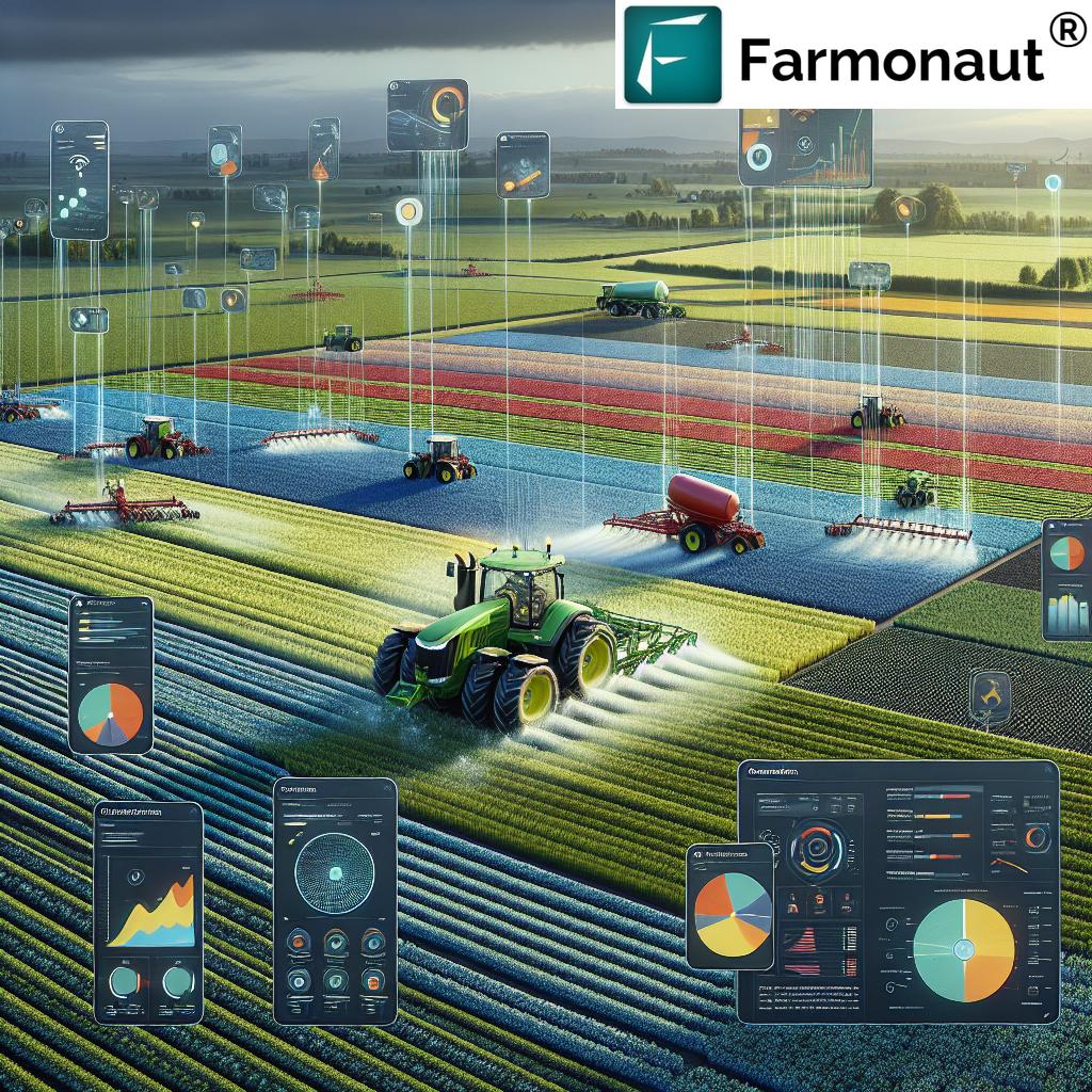
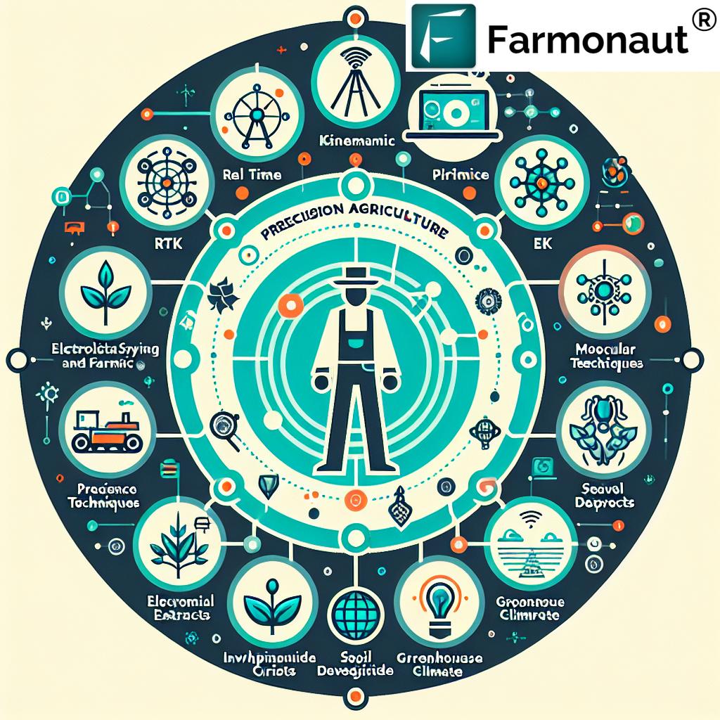
Precision agriculture has come a long way, and today, it incorporates a wide array of technologies that work in synergy to optimize farming operations. Let’s delve into some of the key technologies that are shaping the future of agriculture:
- RTK (Real-Time Kinematic): High-precision GPS technology
- PM (Precision Monitoring): Accurate data collection and analysis
- ES (Expert Systems): AI-driven decision support tools
- PA (Precision Agriculture): The overarching concept of data-driven farming
- MT (Machine Learning Techniques): Advanced algorithms for predictive analytics
- SW (Smart Water Management): Efficient irrigation systems
- CF (Carbon Footprinting): Monitoring and reducing environmental impact
- TM (Telematics): Remote monitoring and control of farm equipment
- SI (Satellite Imagery): High-resolution aerial views for crop analysis
- GC (Geospatial Computing): Processing and analyzing spatial data
- ND (Normalized Difference): Indices for assessing crop health
Each of these technologies plays a crucial role in modern farming, and when integrated effectively, they can lead to significant improvements in productivity, sustainability, and profitability.
RTK: Precision at Your Fingertips
Real-Time Kinematic (RTK) technology has revolutionized the way we approach precision in agriculture. This high-accuracy GPS system allows for centimeter-level positioning, which is crucial for various farming operations.
How RTK Works in Agriculture
RTK uses a network of fixed ground-based reference stations to broadcast the difference between the positions indicated by satellite systems and the known fixed positions. This correction allows for extreme precision in location data.
- Enables precise guidance for farm machinery
- Facilitates accurate planting and harvesting
- Supports variable rate application of inputs
At Farmonaut, we integrate RTK data with our satellite imagery to provide farmers with an unparalleled level of accuracy in field mapping and crop management. This integration allows for more precise application of inputs and better overall farm management.
PM: The Power of Precision Monitoring
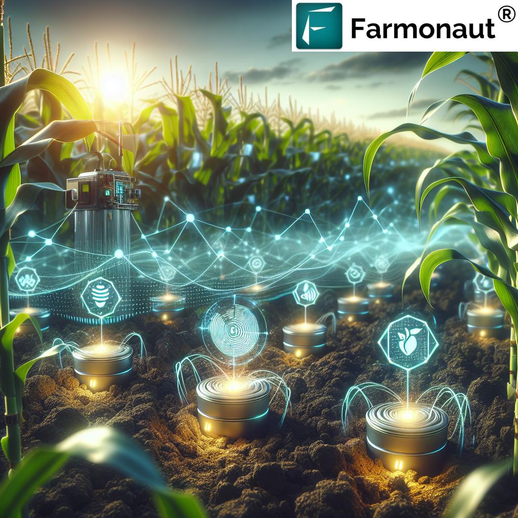
Precision Monitoring (PM) is the backbone of data-driven agriculture. It involves the collection and analysis of various data points across the farm to make informed decisions.
Key Aspects of Precision Monitoring
- Soil moisture sensors
- Weather stations
- Crop growth sensors
- Yield monitors
Our Farmonaut platform takes PM to the next level by combining on-ground sensor data with satellite imagery. This fusion of data sources provides a comprehensive view of farm conditions, enabling farmers to make more accurate decisions.
ES: Expert Systems Driving Smart Decisions
Expert Systems (ES) in agriculture are AI-driven tools that mimic the decision-making ability of human experts. These systems use complex algorithms to analyze data and provide recommendations.
Applications of Expert Systems in Farming
- Pest and disease management
- Crop rotation planning
- Fertilizer application optimization
- Irrigation scheduling
Our Jeevn AI Advisory System is a prime example of an advanced ES. It analyzes satellite data, weather forecasts, and historical farm data to provide personalized recommendations to farmers, helping them optimize their operations and improve yields.
PA: The Overarching Concept of Precision Agriculture
Precision Agriculture (PA) is not just a single technology but a farming management concept that uses information technology to ensure that crops and soil receive exactly what they need for optimum health and productivity.
Core Principles of Precision Agriculture
- Right input
- Right amount
- Right place
- Right time
At Farmonaut, we embody the principles of PA in every aspect of our platform. From satellite-based crop health monitoring to AI-driven advisory systems, we provide farmers with the tools they need to implement precision agriculture effectively.
MT: Harnessing the Power of Machine Learning
Machine Learning Techniques (MT) are revolutionizing agriculture by enabling predictive analytics and automated decision-making processes.
Applications of Machine Learning in Agriculture
- Crop yield prediction
- Automated weed detection
- Livestock health monitoring
- Market price forecasting
Our Farmonaut platform leverages advanced MT to analyze satellite imagery and provide insights on crop health, pest infestations, and potential yield. This allows farmers to take proactive measures and optimize their farm management strategies.
SW: Smart Water Management for Sustainable Farming
Smart Water (SW) management is crucial in agriculture, especially in regions facing water scarcity. Advanced technologies are helping farmers use water more efficiently while improving crop yields.
Key Components of Smart Water Management
- Soil moisture sensors
- Weather-based irrigation scheduling
- Precision irrigation systems
- Water quality monitoring
Farmonaut’s satellite-based monitoring system provides valuable insights into soil moisture levels and crop water stress. This information, combined with weather forecasts, helps farmers optimize their irrigation practices, leading to significant water savings and improved crop health.
CF: Carbon Footprinting for Sustainable Agriculture
Carbon Footprinting (CF) in agriculture is becoming increasingly important as the world focuses on reducing greenhouse gas emissions and combating climate change.
Importance of Carbon Footprinting in Agriculture
- Identifies major sources of emissions
- Helps in developing mitigation strategies
- Supports sustainable farming practices
- Enhances market competitiveness
Our Farmonaut platform includes carbon footprint tracking features that help agribusinesses monitor their environmental impact. By providing real-time data on emissions, we enable farmers and agribusinesses to take steps towards more sustainable practices and comply with environmental regulations.
TM: Telematics for Enhanced Farm Management
Telematics (TM) in agriculture refers to the use of telecommunications and informatics to provide remote access to information about farm equipment and operations.
Benefits of Telematics in Farming
- Real-time equipment monitoring
- Predictive maintenance
- Fuel efficiency optimization
- Improved fleet management
At Farmonaut, we integrate telematics data with our satellite-based monitoring system to provide a comprehensive view of farm operations. This integration allows for better coordination of field activities and more efficient use of farm machinery.
SI: Satellite Imagery Revolutionizing Crop Monitoring
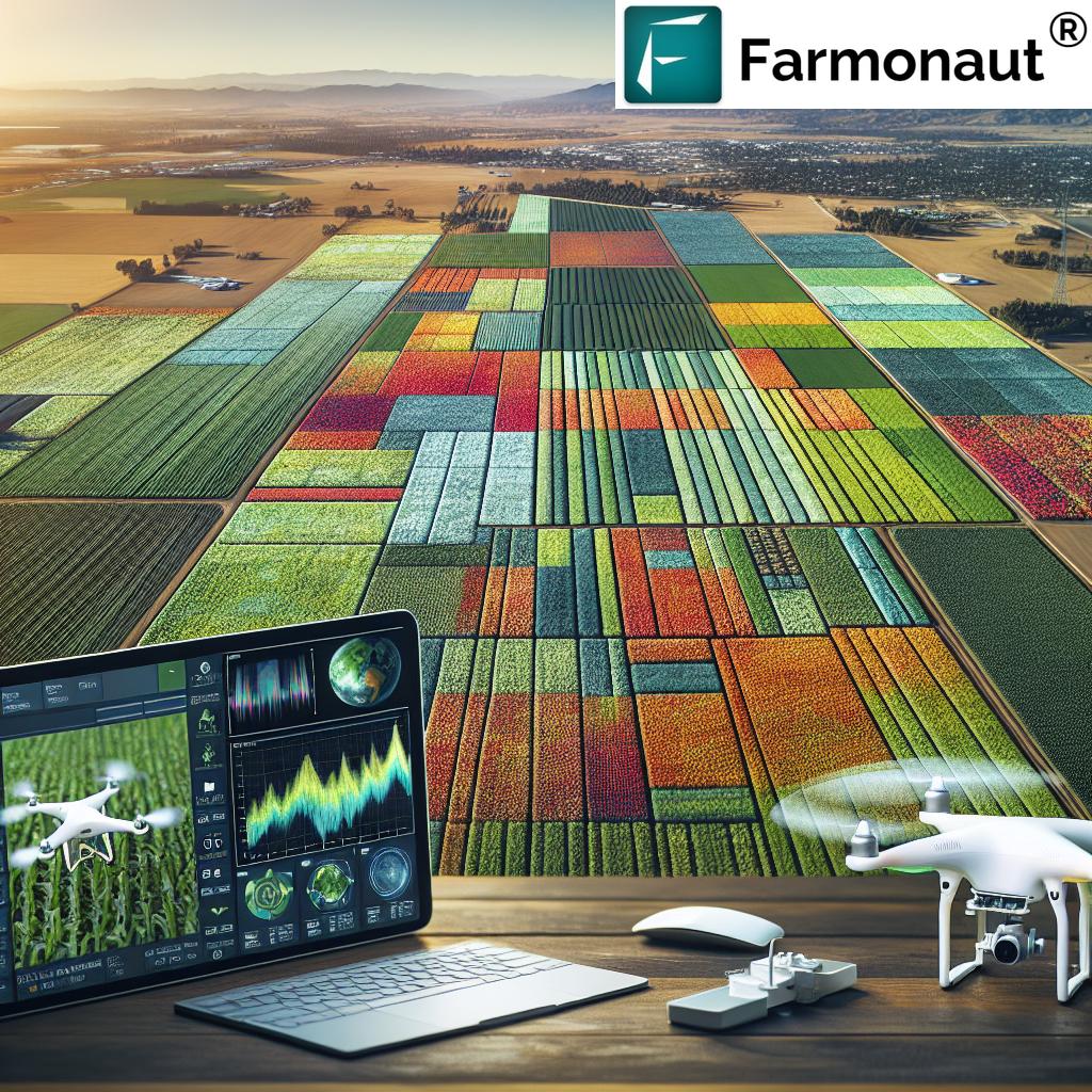
Satellite Imagery (SI) has become an indispensable tool in modern agriculture, providing farmers with a bird’s eye view of their fields and valuable insights into crop health and field conditions.
Applications of Satellite Imagery in Agriculture
- Crop health assessment
- Yield estimation
- Drought monitoring
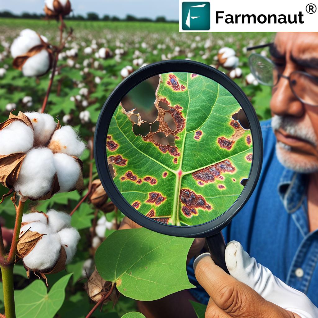
- Pest and disease detection
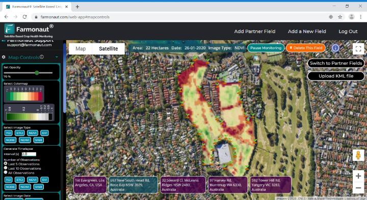
Farmonaut’s core technology revolves around the use of multispectral satellite imagery. We process these images to provide farmers with actionable insights on crop health, soil moisture, and other critical metrics. This information helps farmers make informed decisions about irrigation, fertilizer usage, and pest management.
GC: Geospatial Computing for Advanced Agricultural Analysis
Geospatial Computing (GC) involves the processing and analysis of data related to geographic locations on Earth’s surface. In agriculture, GC is crucial for integrating various data sources and providing spatial insights.
Applications of Geospatial Computing in Agriculture
- Field boundary mapping
- Soil type analysis
- Crop suitability assessment
- Precision application of inputs
Our Farmonaut platform leverages advanced GC techniques to process satellite imagery and combine it with other geospatial data. This allows us to provide farmers with detailed maps and analytics that help them make better decisions about field management and crop planning.
ND: Normalized Difference Indices for Crop Health Assessment
Normalized Difference (ND) indices, such as the Normalized Difference Vegetation Index (NDVI), are powerful tools for assessing crop health and vigor using remote sensing data.
Common Normalized Difference Indices in Agriculture
- NDVI (Normalized Difference Vegetation Index)
- NDWI (Normalized Difference Water Index)
- NDRE (Normalized Difference Red Edge)
- NDMI (Normalized Difference Moisture Index)
At Farmonaut, we calculate various ND indices from satellite imagery to provide farmers with comprehensive insights into crop health, water stress, and nutrient status. These indices are crucial for early detection of crop issues and optimizing farm management practices.
Integrating Technologies for Comprehensive Farm Management
While each of these technologies is powerful on its own, their true potential is realized when they are integrated into a comprehensive farm management system. At Farmonaut, we’ve developed a platform that seamlessly combines these technologies to provide farmers with a holistic solution for precision agriculture.
Farmonaut’s Integrated Approach
| Technology | Traditional Application | Farmonaut’s Enhanced Implementation |
|---|---|---|
| RTK (Real-Time Kinematic) | Precise machinery guidance | Integration with satellite imagery for ultra-precise field mapping and input application |
| PM (Precision Monitoring) | On-ground sensor networks | Combination of ground sensors with satellite data for comprehensive monitoring |
| ES (Expert Systems) | Rule-based decision support | AI-powered Jeevn Advisory System for personalized recommendations |
| PA (Precision Agriculture) | Variable rate application | Holistic approach combining satellite, AI, and on-ground data for optimized farming |
| MT (Machine Learning Techniques) | Crop yield prediction | Advanced analytics for crop health, pest detection, and yield forecasting |
| SW (Smart Water Management) | Automated irrigation systems | Satellite-based soil moisture analysis for optimized irrigation scheduling |
| CF (Carbon Footprinting) | Manual emissions calculations | Real-time carbon footprint tracking integrated with farm management data |
| TM (Telematics) | Equipment tracking | Integration of machinery data with satellite-based field analytics |
| SI (Satellite Imagery) | Periodic field assessment | Regular high-resolution imagery with AI-powered analysis for continuous monitoring |
| GC (Geospatial Computing) | Basic GIS analysis | Advanced geospatial analytics combining multiple data sources for insights |
| ND (Normalized Difference) | Basic vegetation index calculation | Multiple specialized indices for comprehensive crop health assessment |
The Future of Precision Agriculture with Farmonaut
As we continue to innovate and integrate new technologies, the future of precision agriculture looks brighter than ever. At Farmonaut, we’re committed to staying at the forefront of these advancements and providing farmers with the most comprehensive and user-friendly tools for optimizing their operations.
Our Vision for the Future
- Further integration of IoT devices with satellite data
- Advanced AI models for predictive analytics
- Blockchain integration for enhanced traceability
- Expansion of our API offerings for seamless integration with other agtech solutions
We believe that by continuing to push the boundaries of what’s possible in agricultural technology, we can help farmers around the world increase their productivity, sustainability, and profitability.
Getting Started with Farmonaut
Ready to revolutionize your farming practices with Farmonaut’s advanced precision agriculture solutions? Here’s how you can get started:
- Visit our website at https://farmonaut.com/app_redirect to learn more about our offerings.
- Download our mobile app from the Google Play Store or the Apple App Store.
- Explore our API documentation at https://farmonaut.com/farmonaut-satellite-weather-api-developer-docs/ for integration possibilities.
- Contact our team for a personalized demo and to discuss how Farmonaut can benefit your specific agricultural needs.
Subscribe to Farmonaut
Ready to take your farming to the next level? Subscribe to Farmonaut’s services and start benefiting from our advanced precision agriculture solutions today!
Frequently Asked Questions (FAQ)
Q: What is precision agriculture?
A: Precision agriculture is a farming management concept that uses information technology to ensure that crops and soil receive exactly what they need for optimum health and productivity. It involves the use of various technologies such as GPS, sensors, robotics, and data analytics to optimize agricultural operations.
Q: How does Farmonaut’s satellite imagery work?
A: Farmonaut uses multispectral satellite imagery to monitor crop health and field conditions. We process these images using advanced algorithms to calculate various vegetation indices and provide insights on crop health, soil moisture, and other critical metrics.
Q: Can Farmonaut’s solutions be integrated with my existing farm management software?
A: Yes, Farmonaut offers API access that allows for integration with other farm management systems. You can find our API documentation at https://sat.farmonaut.com/api.
Q: How often is the satellite data updated?
A: The frequency of satellite data updates depends on the subscription plan. We offer various options ranging from weekly to daily updates, depending on your needs and the availability of satellite imagery for your region.
Q: Is Farmonaut suitable for small-scale farmers?
A: Absolutely! Farmonaut is designed to be accessible and affordable for farmers of all scales. Our solutions can be tailored to meet the needs of small-scale farmers, providing valuable insights without requiring significant investment in hardware.
Q: How does Farmonaut’s carbon footprinting feature work?
A: Our carbon footprinting feature uses a combination of satellite data, farm management information, and advanced algorithms to estimate greenhouse gas emissions from various farm activities. This helps farmers and agribusinesses track their environmental impact and identify areas for improvement.
Q: Can Farmonaut help with irrigation management?
A: Yes, Farmonaut’s smart water management features use satellite-based soil moisture analysis and weather data to help optimize irrigation scheduling. This can lead to significant water savings and improved crop health.
Q: How accurate is the crop health monitoring?
A: Our crop health monitoring is highly accurate, thanks to the use of high-resolution multispectral satellite imagery and advanced analytics. However, the accuracy can vary depending on factors such as cloud cover and crop type. We continually work to improve our algorithms and provide the most accurate insights possible.
Q: Does Farmonaut offer training or support for using the platform?
A: Yes, we provide comprehensive training and support to help you get the most out of our platform. This includes online resources, webinars, and personalized assistance from our customer support team.
Q: How does Farmonaut ensure data security and privacy?
A: We take data security and privacy very seriously. All data transmitted through our platform is encrypted, and we adhere to strict data protection protocols. We do not share individual farm data without explicit consent from the user.
Have more questions? Don’t hesitate to reach out to our team. We’re here to help you make the most of precision agriculture technology and improve your farming operations.


