Revolutionizing Agriculture: How Earth Observation Data and GIS Power Precision Farming with Farmonaut
“Farmonaut’s platform processes over 10 terabytes of Earth observation data daily for precision agriculture insights.”
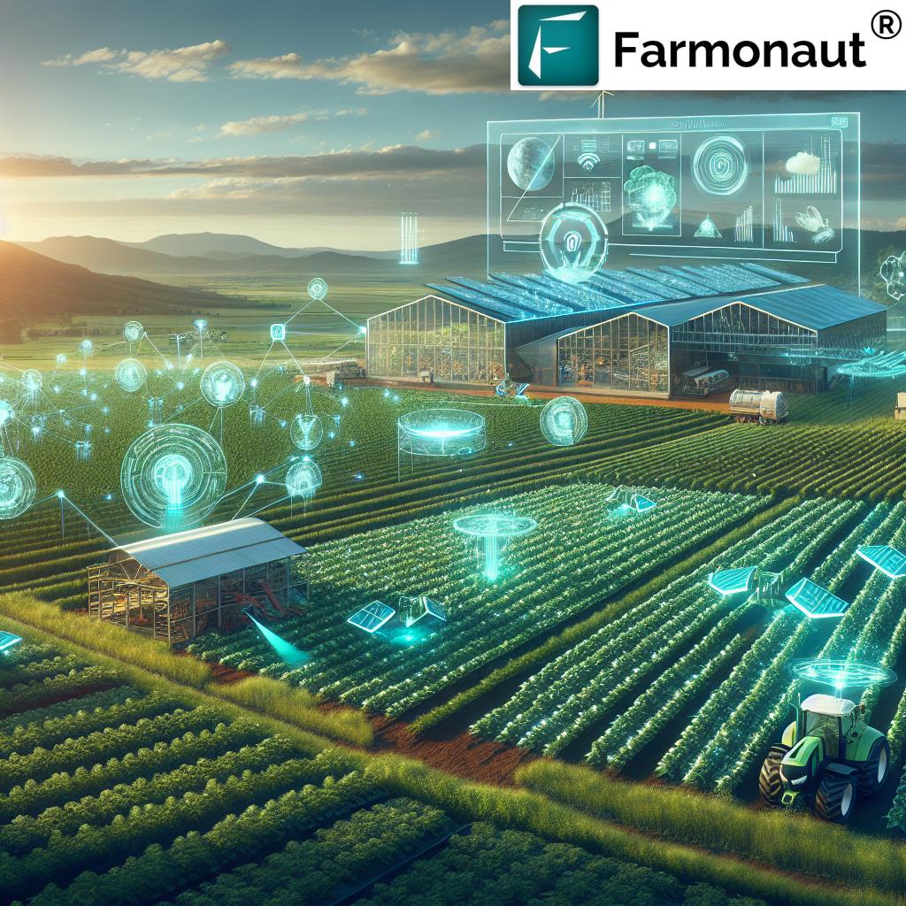
In the ever-evolving landscape of modern agriculture, we find ourselves at the cusp of a technological revolution that promises to transform the way we cultivate our lands and feed the world. At the heart of this revolution lies the powerful combination of earth observation data, Geographic Information Systems (GIS), and cutting-edge precision agriculture technology. Today, we’re excited to explore how Farmonaut, a pioneering force in the agritech sector, is harnessing these innovations to empower farmers and reshape the future of sustainable farming practices.
The Dawn of Data-Driven Agriculture
As we navigate the challenges of climate change, population growth, and resource scarcity, the need for smarter, more efficient farming methods has never been more pressing. This is where Farmonaut steps in, offering a comprehensive suite of tools that leverage the power of agricultural satellite imagery and advanced analytics to optimize every aspect of crop management.
Our platform integrates seamlessly with existing farming operations, providing a wealth of insights that were previously inaccessible to the average farmer. By utilizing state-of-the-art remote sensing for agriculture, we’re able to offer daily updates on crop health, soil moisture levels, and potential threats, all without setting foot in the field.
The Farmonaut Advantage: Precision at Your Fingertips
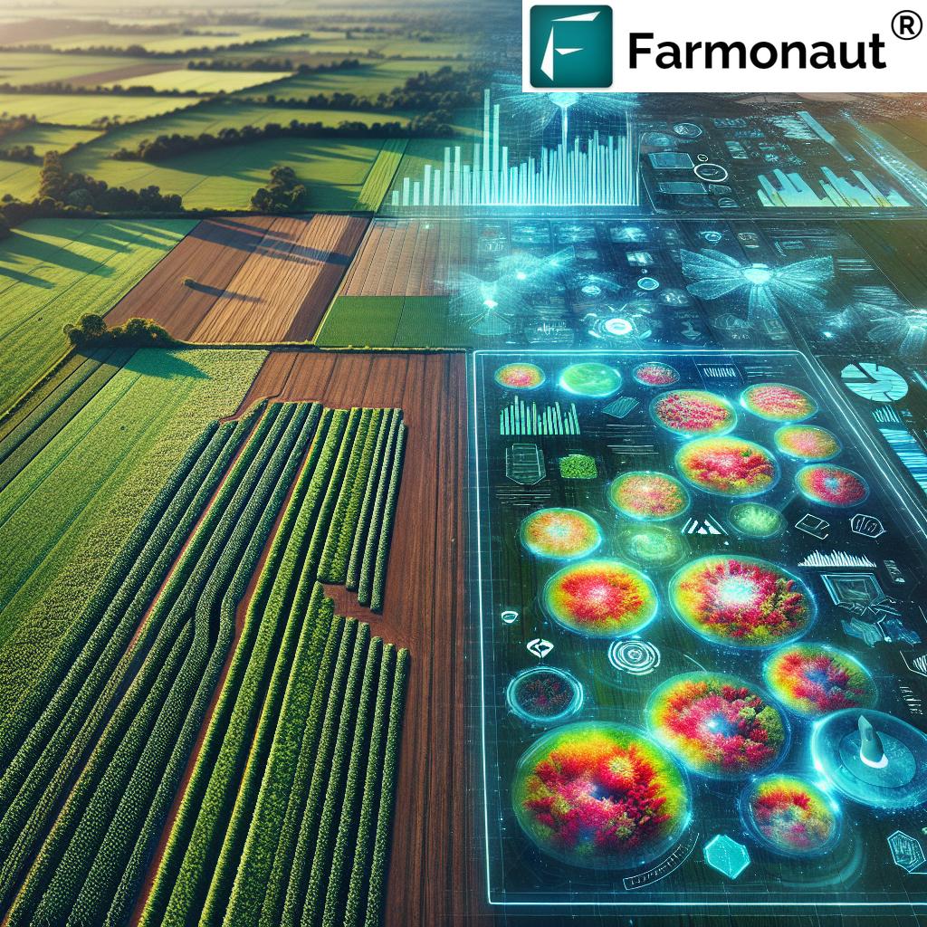
At the core of our offering is a powerful ecosystem of crop monitoring tools that provide unprecedented visibility into the health and progress of your crops. Our platform utilizes multispectral satellite imagery to generate detailed vegetation health indices (NDVI), allowing farmers to identify problem areas quickly and efficiently.
But we don’t stop at just providing raw data. Our AI-powered Jeevn advisory system takes this information and translates it into actionable insights, delivering personalized recommendations tailored to your specific crop and location. This level of precision enables farmers to make data-driven decisions about irrigation, fertilizer application, and pest management, ultimately leading to improved yields and reduced resource waste.
GIS in Agriculture: Mapping the Future of Farming
The integration of GIS in agriculture has opened up new avenues for spatial analysis and decision-making. Farmonaut’s platform leverages advanced GIS capabilities to provide farmers with a multidimensional view of their operations. From field boundary mapping to crop rotation planning, our GIS tools enable users to visualize and analyze complex spatial data with ease.
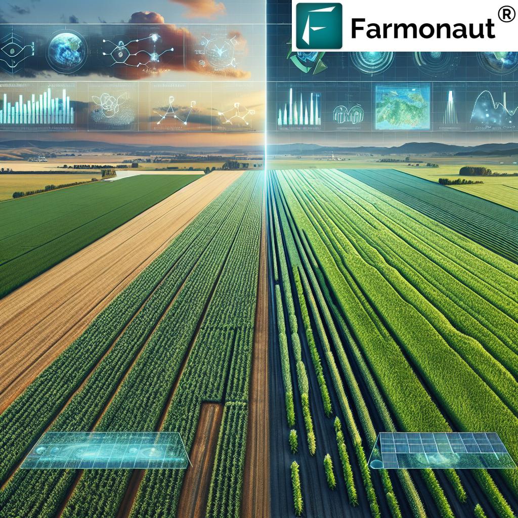
This integration of GIS technology also powers our change detection features, allowing farmers to track subtle changes in their fields over time. By comparing historical satellite imagery with current data, we can identify trends and anomalies that might otherwise go unnoticed, providing early warning for potential issues and opportunities for optimization.
Sustainable Farming Practices: A Data-Driven Approach
In an era where sustainability is no longer optional, Farmonaut is leading the charge towards more environmentally responsible farming practices. Our platform’s ability to optimize resource usage not only benefits the farmer’s bottom line but also contributes to the overall health of our planet.
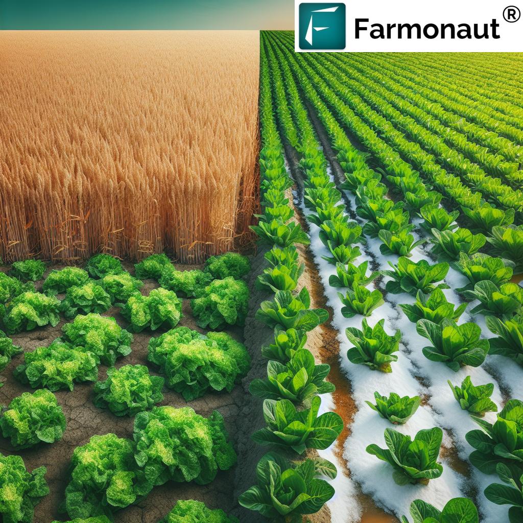
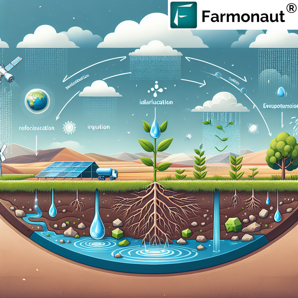
By providing precise data on soil moisture levels and crop water requirements, we help farmers implement more efficient irrigation strategies, reducing water waste and conserving this precious resource. Similarly, our nutrient management tools enable targeted fertilizer application, minimizing runoff and protecting local ecosystems.
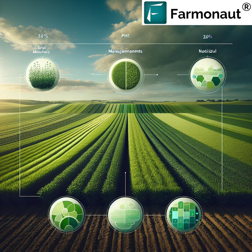
“Satellite-based crop management using Farmonaut can increase agricultural productivity by up to 20% through optimized decision-making.”
Agricultural Data Analytics: Turning Insights into Action
The true power of Farmonaut’s platform lies in its robust agricultural data analytics capabilities. We don’t just collect data; we transform it into meaningful insights that drive real-world results. Our analytics engine processes terabytes of satellite imagery and ground-level data to provide a comprehensive view of your agricultural operations.
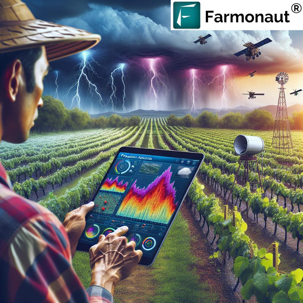
From yield prediction models to pest and disease forecasting, our analytics tools empower farmers to stay one step ahead of potential challenges. By leveraging machine learning algorithms, we’re able to identify patterns and correlations that human analysts might miss, providing a level of predictive power that was previously unimaginable in agriculture.
Satellite-Based Crop Management: A Global Perspective
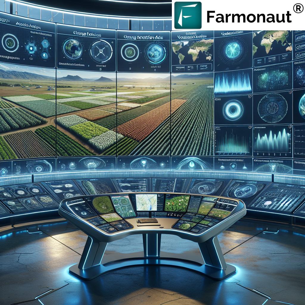
Satellite-based crop management is revolutionizing the way we approach agriculture on a global scale. With Farmonaut’s platform, farmers can monitor vast tracts of land with unprecedented accuracy and efficiency. This bird’s-eye view allows for the early detection of crop stress, pest infestations, and other issues that might otherwise go unnoticed until it’s too late.
Our time series analysis tools take this a step further, allowing users to track changes in their fields over extended periods. This historical perspective is invaluable for understanding long-term trends, optimizing crop rotations, and adapting to shifting climate patterns.
Agritech Decision Support Systems: Empowering Farmers Worldwide
At the heart of Farmonaut’s mission is the desire to democratize access to advanced agritech decision support systems. We believe that every farmer, regardless of the size of their operation, should have access to the tools and insights they need to thrive in an increasingly competitive and challenging environment.
Our platform is designed to be user-friendly and accessible, with intuitive interfaces that make complex data easy to understand and act upon. Whether you’re managing a small family farm or overseeing vast agricultural enterprises, Farmonaut’s tools can be scaled to meet your needs.
Explore our range of solutions:
- Web Application

- Android App

- iOS App

- API Access for developers and businesses
- API Developer Documentation for seamless integration
The Power of Multidimensional Analytics in Agriculture
Farmonaut’s platform stands out in its ability to provide multidimensional analytics, offering a holistic view of agricultural operations. By combining data from various sources – satellite imagery, weather stations, soil sensors, and more – we create a comprehensive picture of farm health and productivity.
This multifaceted approach allows for more nuanced and accurate decision-making. For example, our system can correlate crop stress indicators from satellite imagery with local weather patterns and soil moisture data to provide highly targeted irrigation recommendations. This level of precision helps farmers optimize resource use while maximizing crop yields.
Harnessing the Power of Time Series Analysis
One of the most powerful features of Farmonaut’s platform is its ability to perform sophisticated time series analysis. This capability allows farmers to track changes in their fields over extended periods, providing invaluable insights into long-term trends and patterns.
Our time series tools enable users to:
- Track crop growth stages with precision
- Identify seasonal patterns in pest and disease outbreaks
- Analyze the impact of different management practices over time
- Monitor long-term changes in soil health and fertility
- Assess the effectiveness of conservation efforts and sustainable practices
By leveraging this historical data, farmers can make more informed decisions about crop selection, rotation strategies, and resource allocation, ultimately leading to more sustainable and profitable operations.
Integrating with the Global Agricultural Ecosystem
Farmonaut’s platform is designed to be a central hub in the broader agricultural ecosystem. We understand that modern farming involves a complex network of stakeholders, from individual farmers to large agribusinesses, research institutions, and government agencies. Our goal is to facilitate seamless data sharing and collaboration across this network.
Through our API and developer tools, we enable integration with a wide range of agricultural applications and services. This interoperability allows for the creation of custom solutions tailored to specific needs, whether it’s integrating with farm management software, connecting to IoT devices, or feeding data into advanced research models.
The Role of Earth Observation in Sustainable Resource Management
Beyond crop management, Farmonaut’s earth observation data plays a crucial role in broader resource management and environmental monitoring efforts. Our platform provides valuable insights for:
- Forestry management and deforestation monitoring
- Water resource management and drought prediction
- Land use change detection and urban planning
- Biodiversity conservation and habitat monitoring
- Natural disaster response and risk assessment
By providing accurate, up-to-date information on land cover and resource distribution, we empower decision-makers to implement more effective and sustainable management strategies.
Precision Agriculture Technologies Comparison
| Technology | Satellite Imagery Resolution | Update Frequency | GIS Integration | Crop Monitoring Capabilities | Change Detection | Decision Support Tools | Environmental Impact Score (1-5) |
|---|---|---|---|---|---|---|---|
| Farmonaut | High (3-5m) | Daily | Advanced | Comprehensive | Advanced AI-driven | AI advisory system | 5 |
| Competitor A | Medium (10-30m) | Weekly | Basic | Limited | Basic | Simple alerts | 3 |
| Competitor B | High (3-5m) | Bi-weekly | Moderate | Moderate | Moderate | Rule-based recommendations | 4 |
| Traditional Methods | N/A | Manual | None | Limited | Manual observation | Experience-based | 2 |
The Future of Agriculture with Farmonaut
As we look to the future, the role of technology in agriculture will only continue to grow. Farmonaut is committed to staying at the forefront of this evolution, continuously innovating and expanding our capabilities to meet the changing needs of farmers and the global agricultural community.
Some of the exciting developments on our roadmap include:
- Integration of hyperspectral imaging for even more detailed crop analysis
- Advanced AI models for predicting crop yields and market trends
- Expanded blockchain-based traceability solutions for supply chain transparency
- Enhanced carbon footprinting tools to support sustainable farming initiatives
- Improved integration with IoT devices and smart farming equipment
By continuing to push the boundaries of what’s possible with earth observation data and precision agriculture technology, we aim to empower farmers around the world to meet the challenges of feeding a growing population while preserving our planet’s precious resources.
Embracing the Agricultural Revolution with Farmonaut
The agricultural sector stands on the brink of a technological revolution, and Farmonaut is proud to be at the forefront of this transformative movement. Our platform combines the power of earth observation data, advanced GIS capabilities, and cutting-edge analytics to provide farmers with the tools they need to thrive in an increasingly complex and challenging environment.
From small family farms to large agricultural enterprises, Farmonaut’s solutions are scalable and accessible, democratizing access to precision farming technologies. By harnessing the power of satellite imagery, AI, and big data, we’re not just optimizing crop yields – we’re paving the way for a more sustainable and resilient global food system.
As we continue to innovate and expand our capabilities, we invite you to join us on this journey towards smarter, more sustainable agriculture. Whether you’re a farmer looking to optimize your operations, a researcher exploring new frontiers in agronomy, or a policymaker working to ensure food security, Farmonaut has the tools and insights you need to make informed decisions and drive positive change.
Ready to revolutionize your approach to farming? Explore our platform today and discover how Farmonaut can help you unlock the full potential of your agricultural operations.
Frequently Asked Questions
Q: What is precision agriculture, and how does Farmonaut support it?
A: Precision agriculture is an approach that uses technology to optimize crop yields and resource use. Farmonaut supports this through satellite imagery, GIS, and AI-driven insights, allowing farmers to make data-driven decisions about their crops.
Q: How often is the satellite imagery updated on Farmonaut’s platform?
A: Farmonaut provides daily updates of satellite imagery, ensuring that farmers have access to the most current information about their fields.
Q: Can Farmonaut’s platform be used for small farms, or is it only for large agricultural operations?
A: Farmonaut’s solutions are scalable and designed to benefit farms of all sizes, from small family operations to large agricultural enterprises.
Q: How does Farmonaut help in promoting sustainable farming practices?
A: By optimizing resource use through precise monitoring and recommendations, Farmonaut helps reduce water waste, minimize chemical inputs, and promote overall sustainable farming practices.
Q: Is special equipment required to use Farmonaut’s services?
A: No special equipment is needed. Farmonaut’s platform is accessible through web and mobile applications, making it easy for farmers to use with their existing devices.
Q: How does Farmonaut ensure the security and privacy of farm data?
A: Farmonaut employs robust security measures to protect user data, including encryption and secure data storage practices, ensuring the privacy and confidentiality of farm information.
Q: Can Farmonaut’s platform integrate with other farm management software or equipment?
A: Yes, Farmonaut offers API access and developer tools, allowing for integration with a wide range of agricultural applications and IoT devices.
Q: What types of crops can be monitored using Farmonaut’s platform?
A: Farmonaut’s platform is versatile and can monitor a wide variety of crops, from grains and vegetables to fruit orchards and plantations.
Q: How does Farmonaut’s AI advisory system work?
A: The AI advisory system, Jeevn, analyzes satellite data, weather information, and historical trends to provide personalized recommendations for crop management, including irrigation, fertilization, and pest control strategies.
Q: Is training provided for using Farmonaut’s platform?
A: Yes, Farmonaut offers comprehensive training and support to help users make the most of the platform’s features and capabilities.
As we conclude this exploration of how Farmonaut is revolutionizing agriculture through earth observation data and GIS, we invite you to take the next step in your precision farming journey. Whether you’re ready to dive in or just want to learn more, our team is here to support you every step of the way. Join us in shaping the future of sustainable, data-driven agriculture – because with Farmonaut, the future of farming is now.


