Revolutionizing Wildfire Risk Assessment: How Satellite Imaging and Precision Agriculture Safeguard California Farms
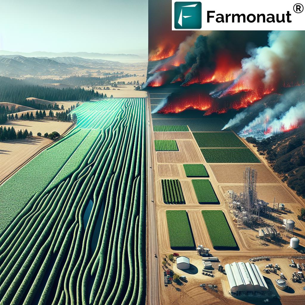
“California wildfires caused over $13 billion in insured losses in 2020, highlighting the urgent need for advanced risk assessment.”
In recent years, the agricultural landscape of California has been dramatically altered by the increasing frequency and intensity of wildfires. As we witness the devastating impact of these natural disasters on farms and rural communities, it’s clear that traditional approaches to risk assessment and management are no longer sufficient. The ongoing wildfires in Los Angeles, particularly in Pacific Palisades and surrounding neighborhoods, are set to become some of the most destructive in the region’s history, with analysts projecting insured losses that could exceed $8 billion.
At Farmonaut, we recognize the critical need for innovative solutions to safeguard California’s agricultural heritage and ensure the resilience of our farming communities. In this comprehensive blog post, we’ll explore how cutting-edge technologies like satellite imaging and precision agriculture are revolutionizing wildfire risk assessment and management for farms across the state.
The Growing Threat of Wildfires to California Agriculture
The severity of recent wildfires in California is primarily attributable to several factors:
- Significant value of properties in affected areas
- Prolonged drought conditions
- Climate change impacts
- Increasing urban-wildland interface
These factors have culminated in a perfect storm of destruction, with the agricultural sector bearing a significant brunt of the damage. The impact extends far beyond immediate property damage, as many homeowners and farmers in California, particularly in high-risk areas, are struggling to secure insurance.
Several insurance companies have opted to withdraw from catastrophe-prone states, resulting in a tightening insurance market. This trend has serious implications for the agricultural community, potentially leaving many farms uninsured or underinsured against wildfire risks.
The Role of Satellite Imaging in Wildfire Risk Assessment
In the face of these challenges, satellite imaging has emerged as a game-changing tool for wildfire risk assessment and management in agriculture. By leveraging advanced remote sensing technologies, we can now gain unprecedented insights into the factors that contribute to wildfire risks on farms.
Key applications of satellite imaging for wildfire risk assessment include:
- Vegetation Health Monitoring: Satellite imagery allows us to track the health and density of vegetation on and around farms, identifying areas of dry or dead plant material that could serve as fuel for wildfires.
- Soil Moisture Analysis: By assessing soil moisture levels, we can pinpoint areas at higher risk of fire due to drought conditions.
- Topographical Mapping: Detailed topographical data helps identify terrain features that may contribute to fire spread or hamper firefighting efforts.
- Historical Fire Pattern Analysis: Satellite data enables the study of historical fire patterns, allowing for more accurate prediction of future fire behavior.
Precision Agriculture: A Powerful Ally in Wildfire Prevention
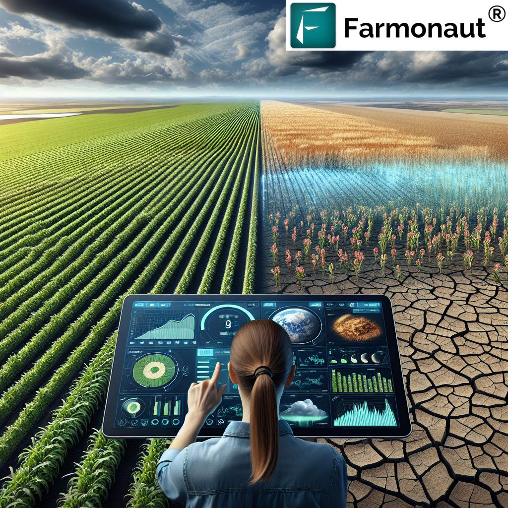
“Satellite imaging can detect early signs of drought stress in crops with up to 95% accuracy, revolutionizing precision agriculture.”
Precision agriculture techniques, when combined with satellite imaging, offer a powerful toolkit for farmers to mitigate wildfire risks and protect their properties. Here’s how these technologies work together to enhance farm safety:
- Smart Irrigation Systems: By utilizing satellite data on soil moisture and crop health, farmers can implement precision irrigation strategies that maintain optimal moisture levels, reducing the risk of dry conditions that fuel fires.
- Targeted Vegetation Management: Satellite imaging helps identify areas of excessive vegetation growth or dry patches, allowing for targeted pruning and clearing to create effective firebreaks.
- Crop Selection and Rotation: Data-driven insights enable farmers to select and rotate crops that are more resilient to drought and fire, creating natural barriers against wildfire spread.
- Early Warning Systems: Integration of satellite data with local weather information allows for the development of advanced early warning systems, giving farmers crucial time to prepare and respond to approaching fire threats.
Explore Farmonaut’s Satellite API for advanced agricultural insights

Climate-Resilient Farming Techniques for Wildfire-Prone Areas
As the threat of wildfires continues to grow, it’s crucial for California farmers to adopt climate-resilient farming techniques. These practices not only help protect against fire damage but also contribute to overall farm sustainability:
- Drought-Resistant Crop Varieties: Implementing crops that require less water and are more resilient to dry conditions can reduce fire risk while maintaining productivity.
- Conservation Tillage: This practice helps retain soil moisture and organic matter, improving the land’s resilience to both drought and fire.
- Agroforestry: Integrating trees and shrubs into farming systems can create natural firebreaks and improve overall ecosystem health.
- Cover Cropping: Utilizing cover crops during fallow periods helps maintain soil moisture and reduces the presence of dry, easily ignitable vegetation.
Access Farmonaut’s API Developer Docs for integration guidance
Remote Sensing Applications in Agriculture: Beyond Wildfire Risk Assessment
While wildfire risk assessment is a critical application of remote sensing in agriculture, the technology offers a wide range of benefits for farm management and productivity:
- Crop Health Monitoring: Satellite imagery provides real-time insights into crop health, allowing for early detection of pest infestations, disease outbreaks, or nutrient deficiencies.
- Yield Prediction: Advanced algorithms can analyze satellite data to predict crop yields with increasing accuracy, helping farmers make informed decisions about harvesting and market planning.
- Resource Optimization: By mapping field variability, remote sensing enables precise application of inputs like water, fertilizers, and pesticides, reducing waste and environmental impact.
- Land Use Planning: Satellite imagery assists in identifying optimal areas for crop cultivation, expansion, or conservation efforts.
The Impact of Wildfires on Agricultural Insurance
The increasing frequency and severity of wildfires in California have had a profound impact on the agricultural insurance landscape. As losses mount, many insurance companies are reassessing their risk models and coverage options for farms in high-risk areas.
Key trends in agricultural insurance related to wildfire risk include:
- Rising Premiums: Farmers in wildfire-prone regions are facing significantly higher insurance premiums, reflecting the increased risk.
- Coverage Limitations: Some insurers are introducing stricter coverage limits or excluding certain types of wildfire-related damages.
- Risk Mitigation Requirements: Insurance companies are increasingly requiring farms to implement specific fire prevention measures as a condition of coverage.
- Alternative Insurance Models: The challenging market has led to the exploration of alternative insurance models, such as parametric insurance based on satellite data.
Farmonaut’s Role in Revolutionizing Farm Risk Management
At Farmonaut, we’re committed to leveraging cutting-edge technology to address the challenges faced by farmers in wildfire-prone regions. Our platform integrates satellite imaging, artificial intelligence, and precision agriculture tools to provide comprehensive risk assessment and management solutions.
Key features of Farmonaut’s technology for wildfire risk management include:
- Real-Time Crop Health Monitoring: Our satellite-based monitoring system provides up-to-date information on vegetation health, helping identify areas of high fire risk.
- AI-Powered Risk Assessment: Advanced algorithms analyze multiple data points to generate personalized risk profiles for individual farms.
- Smart Resource Management: Our platform offers tools for optimizing irrigation and other resource use, helping maintain fire-resistant landscapes.
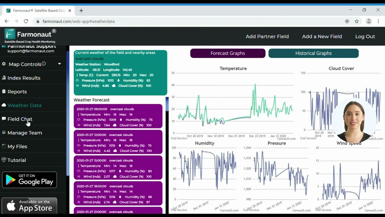
- Integration with Weather Data: By combining satellite imagery with local weather forecasts, we provide early warning capabilities for potential fire conditions.
Sustainable Farming Practices for Long-Term Resilience
While technology plays a crucial role in mitigating wildfire risks, implementing sustainable farming practices is equally important for long-term resilience. These practices not only help protect against fire damage but also contribute to overall farm sustainability and environmental health:
- Water Conservation: Implementing efficient irrigation systems and water-saving techniques reduces water stress on crops and maintains moisture in the surrounding environment.
- Soil Health Management: Practices like composting, cover cropping, and reduced tillage improve soil structure and water retention capacity, making the land more resilient to both drought and fire.
- Biodiversity Enhancement: Encouraging diverse plant species on the farm can create natural firebreaks and improve overall ecosystem resilience.
- Integrated Pest Management: Reducing reliance on chemical pesticides through biological controls and habitat management can minimize the risk of chemical-fueled fires.
The Future of Wildfire Risk Assessment and Management in Agriculture
As we look to the future, several emerging trends and technologies promise to further revolutionize wildfire risk assessment and management in agriculture:
- Advanced AI and Machine Learning: Continued advancements in AI will enable even more accurate predictions of fire behavior and risk levels.
- Internet of Things (IoT) Integration: The integration of IoT devices with satellite data will provide real-time, on-the-ground insights for more precise risk assessment.
- Drone Technology: Combining satellite imagery with drone-captured data will offer unprecedented detail in monitoring and mapping fire-prone areas.
- Climate-Adaptive Crop Breeding: Ongoing research into developing crops that are even more resistant to drought and fire will play a crucial role in future agricultural resilience.
Earn With Farmonaut: Join our affiliate program and help farmers while growing your income!
Wildfire Risk Factors and Mitigation Strategies for California Farms
| Risk Factor | Potential Impact | Satellite Imaging Application | Precision Agriculture Solution |
|---|---|---|---|
| Drought Conditions | High | Soil moisture analysis, vegetation stress detection | Smart irrigation systems, drought-resistant crop selection |
| Vegetation Density | High | NDVI mapping, biomass estimation | Targeted vegetation management, firebreak creation |
| Topography | Medium | Digital elevation modeling, slope analysis | Terracing, contour farming |
| Weather Patterns | High | Temperature and wind speed monitoring | Early warning systems, climate-adaptive farming practices |
| Fuel Load | High | Fuel moisture content assessment | Prescribed burning, mechanical fuel reduction |
Conclusion: Embracing Technology for a Fire-Resilient Future
As California’s agricultural sector continues to face the growing threat of wildfires, the integration of satellite imaging and precision agriculture technologies offers a beacon of hope. By leveraging these advanced tools, farmers can not only better assess and mitigate wildfire risks but also improve overall farm productivity and sustainability.
At Farmonaut, we’re dedicated to providing farmers with the cutting-edge solutions they need to navigate these challenges. Our platform combines the power of satellite imagery, AI-driven insights, and precision agriculture tools to offer comprehensive risk management solutions tailored to the unique needs of each farm.
As we move forward, the continued collaboration between technology providers, farmers, researchers, and policymakers will be crucial in developing even more effective strategies for wildfire prevention and management in agriculture. By embracing these innovations and sustainable practices, we can work towards a future where California’s farms are not only protected from wildfires but are also more resilient, productive, and sustainable than ever before.
FAQs
- How accurate is satellite imaging in predicting wildfire risks?
Satellite imaging can predict wildfire risks with high accuracy, often detecting early signs of fire-prone conditions days or even weeks in advance. - Can precision agriculture techniques really help prevent wildfires?
Yes, precision agriculture techniques like smart irrigation and targeted vegetation management can significantly reduce wildfire risks by maintaining optimal moisture levels and reducing fuel loads. - How often should farmers update their wildfire risk assessments?
It’s recommended to update wildfire risk assessments at least seasonally, with more frequent updates during high-risk periods or when significant changes in weather patterns occur. - Are there any government programs supporting the adoption of these technologies for wildfire prevention?
Many state and federal programs offer grants or subsidies for farmers to implement advanced technologies for wildfire prevention and overall farm management. - How can small-scale farmers afford these advanced technologies?
Platforms like Farmonaut offer scalable solutions suitable for farms of all sizes, with various pricing tiers to make advanced technology accessible to small-scale farmers.


