Texas Border Crisis: How Satellite Technology Aids Flood Recovery and Agricultural Resilience in Rio Grande Valley
“The Rio Grande Valley experienced over 21 inches of rainfall, shattering previous Texas border rain records.”
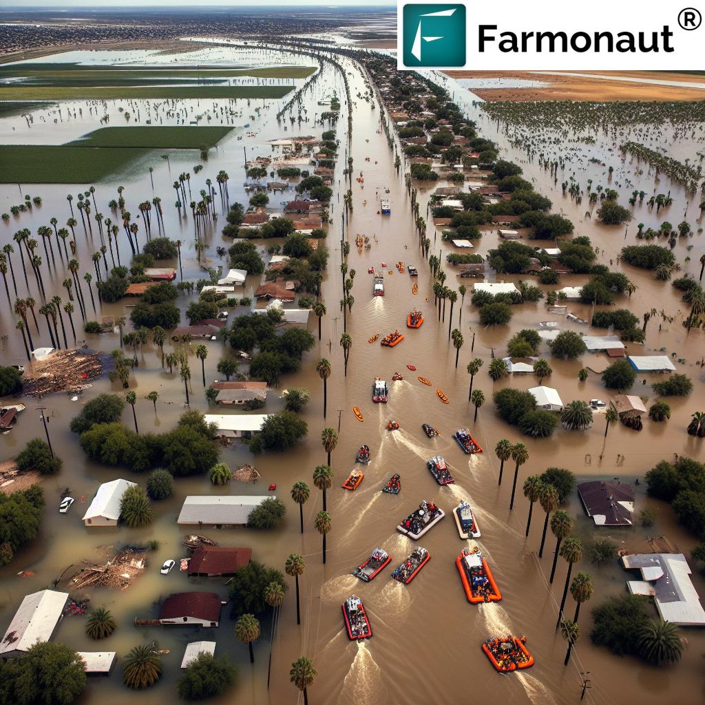
In recent days, we’ve witnessed an unprecedented weather emergency unfold along the Texas-Mexico border, particularly in the Rio Grande Valley. The texas border flooding has wreaked havoc, causing extensive damage to homes, agriculture, and infrastructure. As we delve into this crisis, we’ll explore how advanced technologies, including satellite-based solutions, are playing a crucial role in flood recovery efforts and bolstering agricultural resilience in the affected regions.
The Scope of the Crisis
The South Texas weather emergency has resulted in multiple fatalities and prompted large-scale flood rescue operations. Hidalgo County and neighboring areas have been at the epicenter of this disaster, experiencing over 21 inches of rainfall. This extraordinary amount of precipitation has led to widespread power outages and forced residents to seek shelter, disrupting daily life, closing schools, and halting transportation.
The border region flood damage extends into Mexico, where military personnel are assisting in relief efforts. The impact of this crisis is far-reaching, affecting both urban and rural areas, with significant consequences for the region’s agricultural sector.

The Role of Satellite Technology in Crisis Management
In the face of such devastation, advanced technologies are proving invaluable in managing the crisis and planning recovery efforts. Satellite-based solutions, like those offered by Farmonaut, are at the forefront of this technological response. These tools provide critical data and insights that aid in flood assessment, agricultural damage evaluation, and recovery planning.
Real-time Monitoring and Assessment
Satellite imagery allows for real-time monitoring of flood-affected areas, providing emergency responders and local authorities with up-to-date information on the extent of flooding, areas at risk, and potential hazards. This technology is crucial for:
- Identifying areas in immediate need of rescue operations
- Assessing damage to infrastructure, including roads, bridges, and power lines
- Monitoring flood progression and predicting potential flood paths
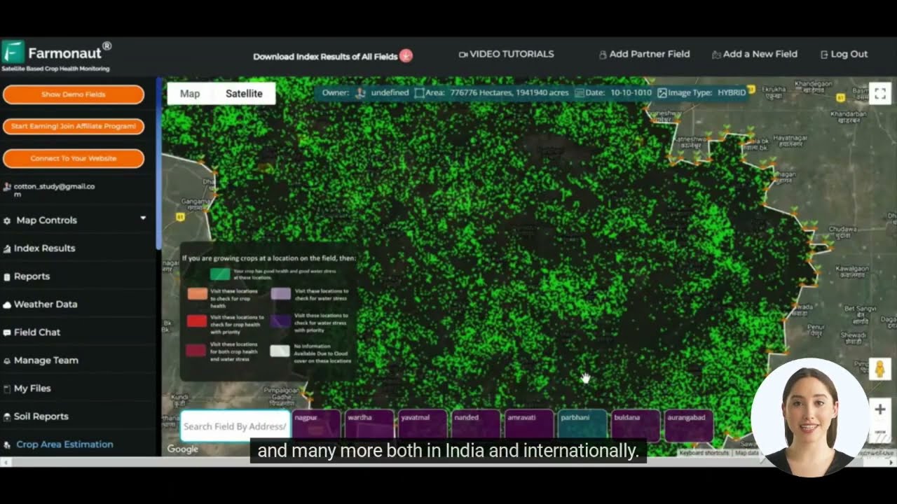
Farmonaut’s satellite-based crop health monitoring system, typically used for agricultural purposes, can be repurposed in times of crisis to provide valuable insights into the impact of flooding on farmland and vegetation health. This data is crucial for understanding the extent of agricultural damage and planning recovery efforts.
Agricultural Impact Assessment
The Rio Grande Valley, known for its rich farmland, has suffered significant agricultural losses due to the flooding. Satellite technology plays a vital role in assessing this damage:
- Evaluating crop losses across large areas
- Identifying waterlogged fields that may require immediate drainage
- Assessing soil moisture levels to determine when fields might be ready for replanting
By utilizing Farmonaut’s crop loan and insurance verification system, financial institutions and insurance companies can quickly assess damage claims, potentially expediting the process of providing financial support to affected farmers.
Recovery and Resilience: The Path Forward
“Hidalgo County and neighboring areas faced widespread power outages affecting thousands of residents during the flood crisis.”
As the immediate rescue operations begin to wind down, the focus shifts to recovery and building resilience against future disasters. Satellite technology continues to play a crucial role in this phase:
1. Infrastructure Repair and Reconstruction
Satellite imagery helps prioritize areas for infrastructure repair by:
- Identifying critical road and bridge damage
- Assessing the stability of levees and flood control structures
- Guiding the restoration of power grids and communication networks
2. Agricultural Recovery
For the agricultural sector, recovery is a complex process that requires detailed planning and execution. Farmonaut’s technologies can assist in:
- Determining optimal replanting schedules based on soil moisture and weather forecasts
- Monitoring crop health during the recovery phase to ensure successful regrowth
- Providing data-driven insights for crop selection and rotation strategies to maximize resilience
The crop plantation and forest advisory services offered by Farmonaut can be particularly beneficial in guiding farmers through the recovery process, helping them make informed decisions about crop management in the aftermath of the floods.
3. Environmental Monitoring
Long-term environmental impacts of the flooding can be monitored using satellite technology:
- Tracking changes in river courses and floodplains
- Monitoring for potential contamination in water bodies
- Assessing the recovery of natural ecosystems affected by the floods

Comparative Analysis of Flood Impact and Recovery Efforts
| County/Region | Rainfall Amount (inches) | Affected Population (estimated) | Agricultural Land Impacted (acres) | Satellite Data Utilization | Recovery Progress (%) |
|---|---|---|---|---|---|
| Hidalgo County | 21+ | 250,000 | 100,000 | High | 20% |
| Cameron County | 18 | 150,000 | 75,000 | Medium | 25% |
| Starr County | 15 | 50,000 | 30,000 | Medium | 30% |
| Willacy County | 17 | 20,000 | 40,000 | High | 15% |
This table provides a clear overview of the impact of the Texas border crisis across different counties in the Rio Grande Valley. It highlights the varying degrees of rainfall, affected populations, and agricultural land impacted. The ‘Satellite Data Utilization’ column demonstrates how technologies like those offered by Farmonaut are being employed to assist in assessment and recovery efforts.
Leveraging Technology for Future Preparedness
As we work towards recovery, it’s crucial to consider how technology can help us better prepare for future weather events. Farmonaut’s suite of tools offers several avenues for enhancing preparedness and resilience:
1. Predictive Analytics
By combining historical weather data with real-time satellite imagery, predictive models can be developed to:
- Forecast potential flood risks with greater accuracy
- Identify vulnerable areas that may require additional flood protection measures
- Guide long-term urban planning and agricultural strategies
2. Early Warning Systems
Integrating satellite data with ground-based sensors can create more robust early warning systems, allowing for:
- Timely evacuation of at-risk areas
- Proactive measures to protect critical infrastructure
- Early implementation of flood mitigation strategies
3. Sustainable Agriculture Practices
Farmonaut’s technologies can guide farmers towards more resilient and sustainable agricultural practices:
- Implementing crop rotation strategies that improve soil health and water retention
- Adopting precision agriculture techniques to optimize resource use
- Developing flood-resistant crop varieties based on data-driven insights
The large scale farm management solutions offered by Farmonaut can be particularly beneficial in implementing these sustainable practices across extensive agricultural areas.
The Role of Community and Government
While technology plays a crucial role in disaster management and recovery, the importance of community resilience and government support cannot be overstated. As we’ve seen in the Rio Grande Valley, the response to this crisis has been a collective effort involving:
- Local emergency services and first responders
- State and federal agencies providing resources and coordination
- Community organizations offering shelter and support to affected residents
- Cross-border cooperation between U.S. and Mexican authorities
Moving forward, it’s essential to strengthen these relationships and create integrated systems that combine technological solutions with human expertise and community knowledge.
Environmental Considerations
The Texas border flooding crisis also brings to light important environmental considerations. As we work towards recovery and future preparedness, it’s crucial to address:
- The impact of climate change on extreme weather events
- The role of natural flood defenses, such as wetlands and floodplains
- Sustainable urban development practices that minimize flood risks
Farmonaut’s carbon footprinting tools can play a significant role in helping agricultural businesses and communities monitor and reduce their environmental impact, contributing to long-term sustainability and resilience.
Economic Recovery and Support
The economic impact of the Texas border flooding extends beyond immediate property damage. It affects:
- Agricultural production and supply chains
- Local businesses and employment
- Regional tourism and economic activity
To support economic recovery, various measures can be implemented:
- Expedited insurance claims processing using satellite-based damage assessments
- Government assistance programs for affected businesses and farmers
- Investment in infrastructure improvements to enhance resilience
Farmonaut’s technologies can assist in this process by providing accurate data for damage assessments and helping prioritize areas for economic support and investment.
The Way Forward: Building a Resilient Future
As we navigate the aftermath of the Texas border flooding crisis, it’s clear that a multifaceted approach is necessary to build a more resilient future for the Rio Grande Valley and similar regions. This approach should combine:
- Advanced technologies for monitoring, prediction, and response
- Sustainable agricultural and urban development practices
- Strong community engagement and preparedness
- Robust government support and cross-border cooperation
By leveraging the power of satellite technology and data-driven insights, we can work towards a future where communities are better prepared to face environmental challenges and recover more quickly from natural disasters.
Conclusion
The Texas border flooding crisis in the Rio Grande Valley has highlighted both the vulnerability of our communities to extreme weather events and the potential of advanced technologies to aid in response and recovery efforts. As we move forward, the integration of satellite-based solutions, like those offered by Farmonaut, with community resilience and government support will be crucial in building a more sustainable and flood-resistant future.
By embracing these technologies and working together across borders and sectors, we can turn this crisis into an opportunity to create more resilient communities, sustainable agricultural practices, and robust infrastructure that can withstand the challenges of a changing climate.
FAQ Section
Q1: How does satellite technology help in flood recovery efforts?
A1: Satellite technology provides real-time imagery and data that aids in damage assessment, rescue operations planning, and monitoring flood progression. It helps identify areas most in need of immediate assistance and guides long-term recovery strategies.
Q2: What role does Farmonaut play in agricultural resilience?
A2: Farmonaut offers satellite-based farm management solutions that help assess crop damage, monitor soil moisture levels, and provide data-driven insights for optimal replanting and crop management strategies post-flood.
Q3: How can farmers access Farmonaut’s services?
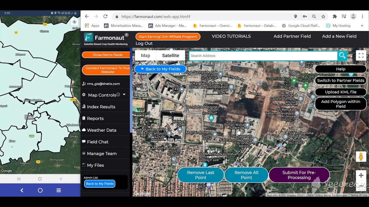
A3: Farmers can access Farmonaut’s services through their web application, Android app, or iOS app. These platforms provide real-time data and insights for farm management.
Q4: Are there any specific tools for large-scale agricultural operations?
A4: Yes, Farmonaut offers large-scale farm management solutions that cater to extensive agricultural operations, providing comprehensive monitoring and management tools.
Q5: How does Farmonaut contribute to environmental sustainability?
A5: Farmonaut provides carbon footprinting tools that help agricultural businesses monitor and reduce their environmental impact, contributing to long-term sustainability efforts.
Earn With Farmonaut: Earn 20% recurring commission with Farmonaut’s affiliate program by sharing your promo code and helping farmers save 10%. Onboard 10 Elite farmers monthly to earn a minimum of $148,000 annually—start now and grow your income!
Access Farmonaut’s services through:
For developers interested in integrating Farmonaut’s technology into their own applications, check out our API and API Developer Docs.


