Bunnell Rezoning Request: 5 Key Facts Driving Community Action
Meta Description: Bunnell rezoning request sparks community input on industrial development proposal, future land use map changes, and concerns over property zoning changes. Discover the 5 key facts driving public action for Bunnell’s future.
URL Suggestion: https://farmonaut.com/bunnell-rezoning-request-community-action
“Bunnell’s rezoning request prompted over 150 community comments on proposed industrial development and land use changes.”
Introduction: Why the Bunnell Rezoning Request Matters
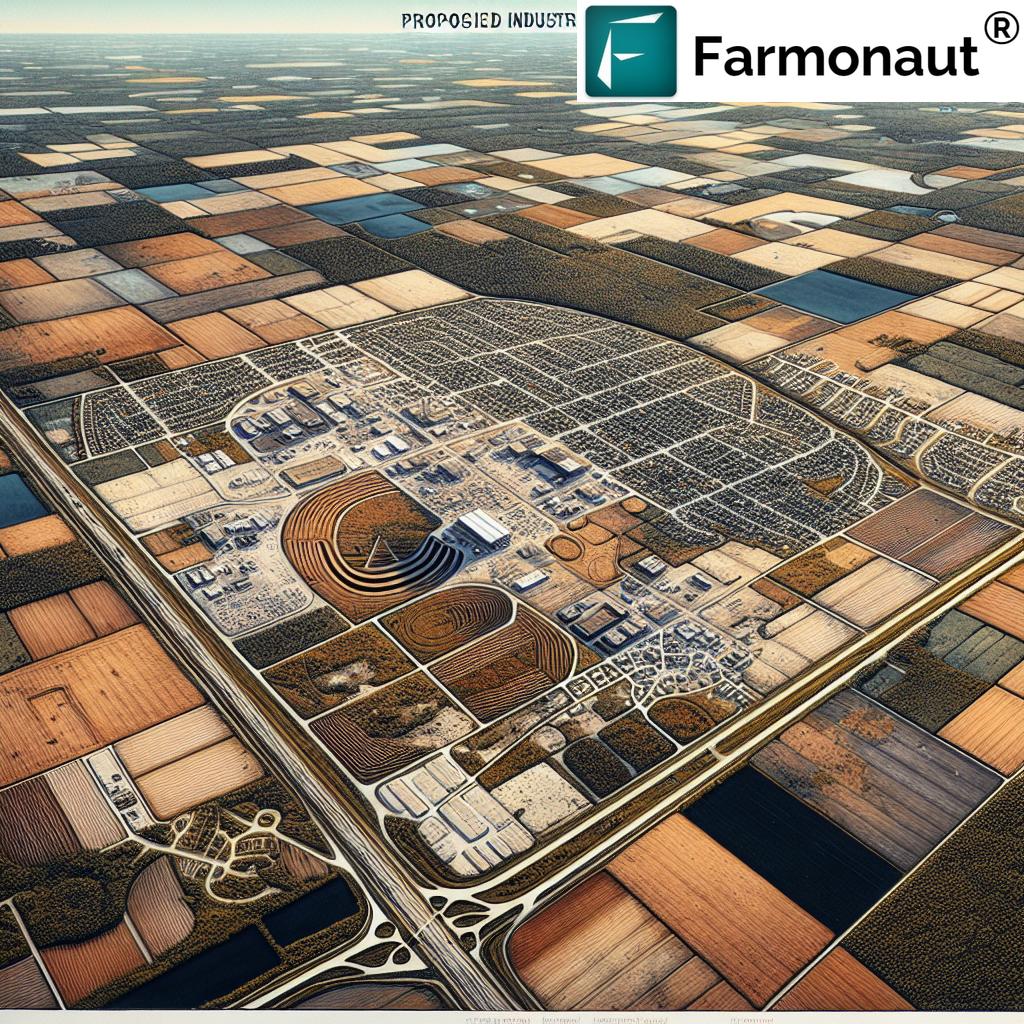
Bunnell, Florida—A serene city with deep agricultural roots—now finds itself at the crossroads of change and community advocacy. Recently, a Bunnell rezoning request involving over 1,800 acres of land near U.S. 1 and County Road 304 has stirred vibrant debate regarding the future land use map. While officials say no development is currently planned, the mere possibility of converting agricultural land to heavy industrial zoning has galvanized residents.
We believe that moments like these—when a city’s development plan collides with longstanding community values—call for deep understanding, transparent communication, and earnest action. In this comprehensive guide, we explore the 5 key facts driving community action, detail the rezoning application process, and reflect on the concerns voiced during the latest city commission meeting in Bunnell.
Fact 1: The Scope and Scale of the Bunnell Rezoning Request
To truly grasp the gravity of the Bunnell rezoning request, we need to look beyond the surface. At stake are approximately 1,842 acres of property—currently labeled as agriculture—that could soon bear a very different designation. Specifically, the request outlines:
- 459 acres to “agriculture community industrial” zoning
- 1,383 acres to “L-2, heavy industrial” zoning
- Location: Immediately adjacent to U.S. 1 and County Road 304, a historically significant part of Bunnell’s development
- Future Land Use Map Amendment: Requests to amend from pure agriculture to allow for industrial development proposals
These changes to the future land use map carry transformative potential, not just for these parcels but for the wider community. The rezoning application stands to reshape how the city grows—economically, environmentally, and culturally.
With the inclusion of heavy industrial zoning (“L-2”), the concerns are not only about what projects might be built, but how such property zoning changes could set new precedents for development across the city and its surrounding areas.
Fact 2: Community Input on Rezoning at City Commission Meeting Bunnell
Despite not being scheduled for active discussion, the rezoning request was front and center during the public comment segment of the recent city commission meeting in Bunnell. Residents flooded the meeting, driven by concerns over the plan, and expressed passionate public opposition to development that could transform their community landscape.
Key Community Concerns:
- Water Quality: “What is that going to do to our water?”—Residents questioned the environmental safety of welcoming potentially polluting industrial development proposals so close to homes and farms.
- Animal Habitat & Rural Character: Fears that changing agricultural land to industrial use would disrupt local ecosystems and alter the city’s cherished rural identity.
- Property Values: Many feel uncertain about how property zoning changes could impact their land values, livelihoods, and future family investments.
- Lack of Transparency: Community members voiced frustrations about not being sufficiently informed or consulted before the rezoning request was advanced.
- Future Precedent: Concerns over whether this proposal could open the door for similar projects elsewhere along U.S. 1 and County Road 304.
Bunnell locals like Lila Pontius shared, “We do not want a huge, big landfill coming in our backyard. What is that going to do to our water? What is that going to do to the animals?”
Denise Barton echoed these sentiments, highlighting a family legacy on County Road 304—a legacy that many fear may soon face unprecedented risk.
To supplement community understanding and participation, advanced, real-time data plays a vital role. Platforms like Farmonaut’s Large-Scale Farm Management Solution support transparent land monitoring and decision-making by harnessing satellite imagery—making such technology invaluable for both city planners and residents alike.
“Nearly 60% of local residents expressed concerns about property zoning changes during the recent Bunnell community action meetings.”
Fact 3: Concerns About Industrial Development Proposal and Environmental Impact
An industrial development proposal of this magnitude brings a cascade of questions—not just what will be built but how the fabric of Bunnell might change. Public opposition to development is particularly sharp when the specter of environmental harm is involved.
Environmental Risks and Water Safety
Residents have openly voiced apprehension over what a shift to heavy industrial zoning could mean for water quality and local ecosystems:
- Could increased runoff or potential landfill operations, feared by many, lead to groundwater contamination?
- Would factory developments edge too close to critical wetland habitats?
- How might such zoning changes affect regional carbon footprinting and overall resource consumption?
Sustainable resource management is a theme we must emphasize when considering any agricultural land rezoning. Tools like Farmonaut’s Carbon Footprinting Solution empower stakeholders to measure, monitor, and ultimately mitigate their environmental impacts, supporting advocacy rooted in reliable, real-time data.
Property Values and Community Health
On top of environmental risks, uncertain impacts to property value and community safety remain at the heart of public opposition to development. When proposals lack specificity and are advanced with limited input, trust erodes, and community anxiety grows.
Are you a local farm owner or land steward? Farmonaut’s platform supports Product Traceability and Fleet Management—two tools that offer increased transparency, resource monitoring, and comprehensive documentation for both private and public land projects.
By integrating such digital solutions, Bunnell can foster more inclusive, data-driven public dialogue around its future land use map and all related development plans.
Fact 4: Official Clarifications and the Rezoning Application Process
Many of us may feel uncertainty when city officials advance complex rezoning applications. Clarity and communication are essential in building trust throughout the rezoning application process.
Official Statement: Joe Parsons, Bunnell’s community development director, stated: “The application in question is for rezoning only. There is no use that has been applied for or being proposed in conjunction with this application at this time.”
What Does This Mean?
- Rezoning ≠ Immediate Development: The request is solely for reclassifying land on the future use map. No specific project plan or building application has been submitted yet.
- Next Steps Paused: In response to the groundswell of community input on rezoning, the city announced it would not proceed with the first reading of the proposal as scheduled.
- Continued Engagement: Bunnell Mayor Catherine Robinson acknowledged community attendance and participation, indicating gratitude and commitment to ongoing dialogue.
A Transparent Rezoning Application Process
For residents and land stakeholders eager for more visibility into the rezoning application process, regular city updates, online resources, and transparent reporting can make a significant difference. By leveraging innovative platforms like Farmonaut’s Satellite and Weather API (Developer Docs), cities and counties can share real-time environmental and land change data with the public.
Fact 5: Social Action & The Power of Community Support
Bunnell’s story isn’t only about zoning maps and city ordinances—it’s about us, the people who call this area home. Recent events show that when community voices unite, officials listen.
- Residents rallied together—families, advocates, and lifelong locals—to voice opposition during the city commission meeting in Bunnell.
- Persistent community input on rezoning resulted in a pause in the official decision-making process, proving that collective advocacy influences the city’s development path.
- The advocacy didn’t end at the meeting—residents are forming alliances, seeking allies, and using data-driven research to inform and mobilize their neighbors.
The spirit of this movement reinforces the value of informed, active citizenship—whether we’re farmers, homeowners, or business leaders invested in our city’s future.
Let’s keep the conversation going, use accessible technologies, and advocate for land use solutions that align with Bunnell’s core values.
Comparison Table: Current Zoning vs Proposed Industrial Zoning
| Aspect | Current Zoning Status (Estimated) | Proposed Zoning Change | Community Concern (Estimated Level) | Official Response |
|---|---|---|---|---|
| Land Use Designation | Agricultural (1,842 acres) |
459 acres to Agriculture Community Industrial 1,383 acres to L-2 Heavy Industrial |
High—threat to existing land identity | “Rezoning only; no current development plans” |
| Environmental Impact | Low (Predominantly rural/agricultural) |
Potentially significant. Concerns: Pollution, water table, wildlife habitat |
Very High—water & animal welfare | Impact studies required at proposal stage |
| Public Consultation | Limited—before the Bunnell rezoning request | Over 150 comments during recent meeting | Very High—requests for transparency & engagement | “Application paused; community to be heard” |
| Property Value Impact | Stable; Rural growth rates | Uncertain; possible decrease near industrial zones | High—financial risk feared by landowners | To be addressed during planning phase |
| Infrastructure Changes | Minimal (county road, no major expansion) | Significant, if/when industrial projects commence | Moderate—traffic/safety worries | No plans specified at this stage |
As shown, the chasm between agricultural land use and industrial zoning creates extensive debate. Proactive community input on rezoning and well-documented official responses ensure that all voices are considered before any irrevocable changes are implemented.
Farmonaut’s Role in Supporting Sustainable Land Use in Bunnell and Beyond
Amidst the evolving discourse over land use in Bunnell, we recognize the importance of accessible, factual data for informed decision-making. Farmonaut, as a pioneering agricultural technology provider, delivers advanced satellite-based management solutions that empower all stakeholders—farmers, landowners, city planners, and advocacy groups—when navigating issues like rezoning, property zoning changes, and future land use maps.
- Satellite-Based Crop and Land Monitoring: Monitor changes in agricultural acreage alongside potential industrial projects with multispectral imagery, supporting better decisions for all of Bunnell’s community.
- Real-Time Resource Management: Track water usage, soil moisture, and crop health to maintain environmental balance—as zones shift from agriculture to other uses, carbon footprinting becomes essential.
- Supply Chain Transparency: Ensure local produce and resources remain traceable with blockchain-based traceability solutions, promoting trust and sustainability even as development expands.
- Fleet & Infrastructure Oversight: Manage logistics and vehicles efficiently with Farmonaut Fleet Management, especially as traffic could increase near new industrial areas in Bunnell.
Farmonaut’s scalable model—offering Android, iOS, Web App, and flexible APIs—means every stakeholder can actively participate in land management and stewardship. Interested in amplifying your monitoring capabilities or integrating satellite insights into your advocacy efforts? Start with the Farmonaut API (see API Documentation).
Frequently Asked Questions: Bunnell Rezoning Request
1. What is the Bunnell rezoning request?
The Bunnell rezoning request is a proposal to change the designation of approximately 1,842 acres of land near U.S. 1 and County Road 304 from agricultural to a mix of “agriculture community industrial” and “L-2 heavy industrial.” This amendment to the future land use map could significantly alter land use, development opportunities, and local environmental protections.
2. Why are residents concerned about property zoning changes?
Many Bunnell residents fear that moving from agricultural to industrial zoning may threaten:
- Groundwater and drinking water quality
- Wildlife habitats and rural aesthetics
- Long-term property values
- Lack of direct community oversight during rezoning application process
3. What happened at the recent city commission meeting in Bunnell?
Although not formally listed on the agenda, the rezoning request dominated public comment. Over 150 community members voiced their concerns, leading the city commission to table the first reading and pause further action, demonstrating the impact of community input on rezoning.
4. Does rezoning mean construction will happen immediately?
No. According to city officials, especially Community Development Director Joe Parsons, this is a rezoning application, not a request for land development. Future construction—if any—would require new applications, further review, and additional community input.
5. How can Farmonaut’s technology help in this situation?
Farmonaut offers advanced satellite monitoring and analytics tools that can help all parties—city planners, farmers, and advocates—track real-time changes to the land, detect environmental risks, manage carbon footprints, and maintain traceability. These data-driven insights foster transparency and support advocacy for sustainable land use.
Conclusion: Charting a Thoughtful Path for Bunnell’s Future
The ongoing debate around the Bunnell rezoning request exemplifies how critical land use decisions are shaped by a balance of official planning, community input on rezoning, and evidence-based advocacy. By pausing the rezoning process in response to public concern, city leaders have demonstrated the power of active citizenship and transparent dialogue.
As we move forward, it’s vital to encourage continued participation and data-driven decision-making—especially as rural towns like Bunnell contend with the pressures and possibilities of industrial development proposals. Technology tools like Farmonaut’s platform for large-scale farm management or carbon footprinting can pave the way toward sustainable, community-centered growth.
Whether you’re an advocate, landowner, or city official, now is the time to leverage real-time data, engage in robust public dialogue, and support development decisions that preserve Bunnell’s values for generations to come.


