Revolutionizing Botswana’s Gold Exploration: Advanced Remote Sensing and Drone Technology Unveil Hidden Treasures Beneath Kalahari Sands
“Farmonaut’s technology integrates over 5 precision agriculture techniques to revolutionize gold exploration in Botswana’s Kalahari region.”
In the heart of southern Africa, a technological revolution is unfolding that promises to transform the landscape of gold exploration in Botswana. As we delve into the fascinating world where precision agriculture technologies meet mineral exploration, we uncover a story of innovation, perseverance, and the relentless pursuit of hidden treasures beneath the enigmatic Kalahari sands.
At Farmonaut, we’re at the forefront of this exciting frontier, leveraging our expertise in remote sensing in agriculture and geospatial analysis for farming to pioneer new methods in mineral exploration. Our journey takes us to the Kraaipan Greenstone Belt (KGB), a geological marvel spanning 1,266 km² that straddles the border between Botswana and South Africa. This region, rich with potential for gold and base metal deposits, has long tantalized explorers and miners alike. However, a thin veil of Kalahari sand, typically less than 40 meters thick, has historically shrouded its secrets from conventional exploration techniques.
The Challenge of Kalahari Exploration
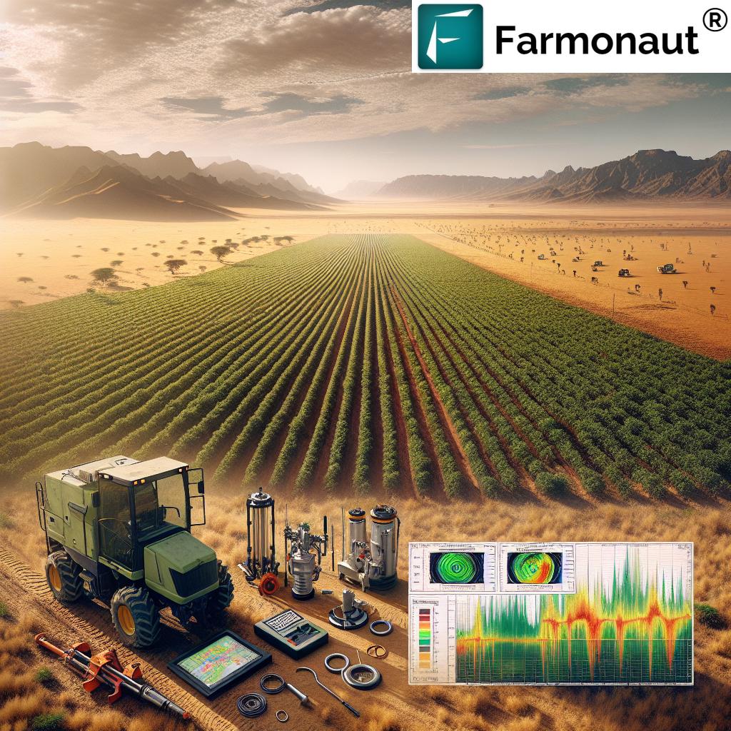
The Kalahari sand cover presents a unique challenge for traditional geological exploration methods. Mapping, prospecting, and geochemical sampling – staples of the mineral exploration toolkit – have been largely ineffective in penetrating this natural veil. This has led to a significant disparity in our understanding of the KGB’s geology and mineral potential between its Botswanan and South African sectors.
While the South African portion of the KGB hosts the well-established Kalgold mine, the Botswanan side remains largely enigmatic, its potential locked away beneath the sands. This underexplored nature of the region presents both a challenge and an opportunity – one that we at Farmonaut, in collaboration with forward-thinking exploration companies, are eager to tackle.
Bridging Agriculture and Mineral Exploration
Our approach at Farmonaut is unique in that we’re adapting precision agriculture technologies for the mining sector. By leveraging our expertise in agricultural drone applications and satellite imagery for crop management, we’re opening new avenues for mineral exploration in challenging terrains like the Kalahari.
Here’s how we’re bridging the gap between agriculture and mineral exploration:
- Advanced Soil Sampling Techniques: We’ve adapted our precision agriculture soil analysis methods to provide insights into mineral compositions beneath the Kalahari sands.
- Drone-Based Magnetic Surveys: Our agricultural drones, originally designed for crop health monitoring, have been repurposed to conduct high-resolution magnetic surveys over vast areas quickly and cost-effectively.
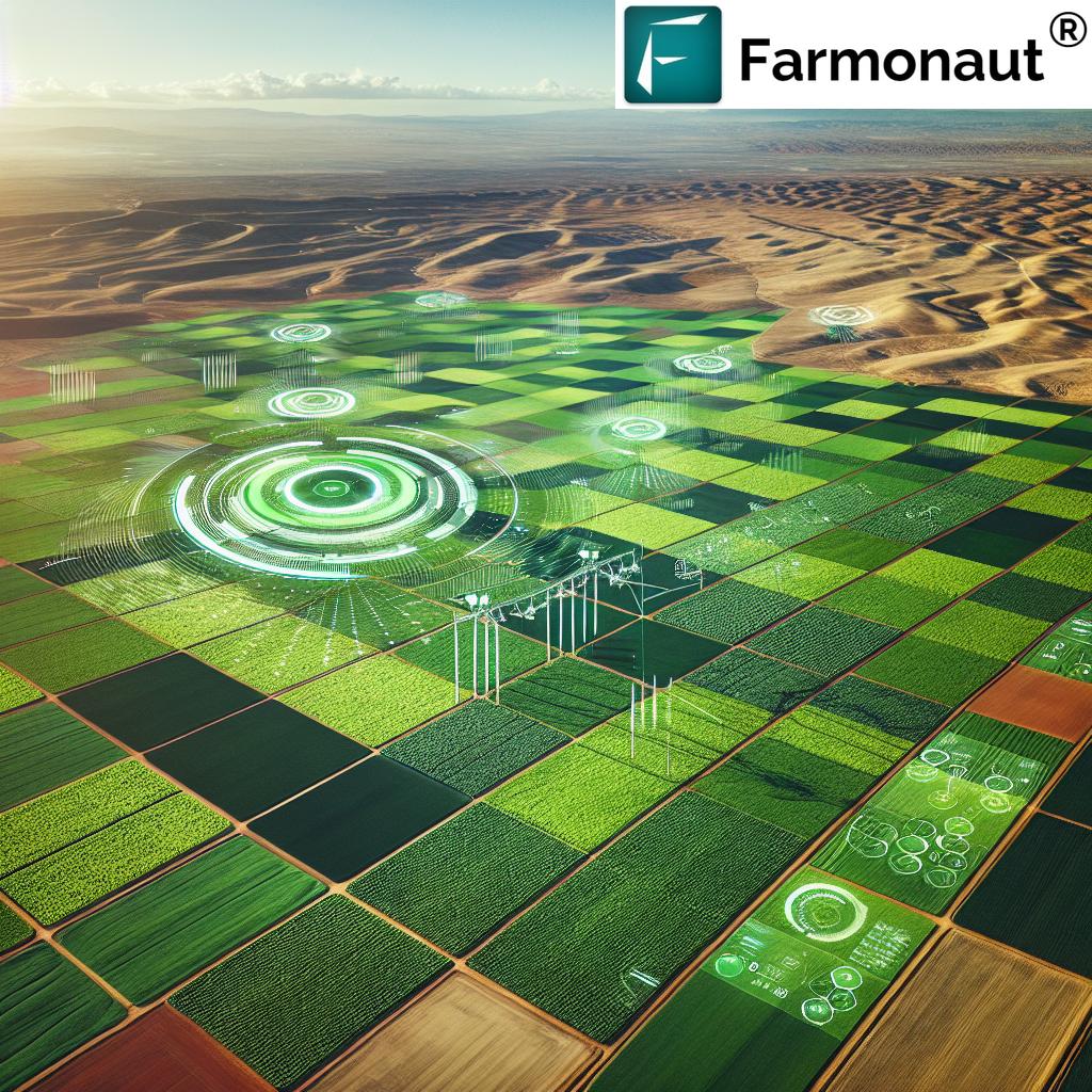
- Satellite Imagery Analysis: The same satellite technology we use for crop health assessment is now being employed to identify geological features and potential mineralization zones.
- Data Analytics and AI: Our robust agricultural data analytics platforms are being adapted to process and interpret geological and geophysical data, potentially uncovering patterns invisible to the human eye.
This innovative approach is not just about finding gold; it’s about revolutionizing how we explore for minerals in challenging environments worldwide.
The Kraaipan Gold Project: A Case Study in Innovation
The Kraaipan Gold Project, spearheaded by North Arrow Minerals Inc. in partnership with Rockman Resources, serves as a prime example of how our innovative approach is being applied in the field. This project aims to uncover orogenic gold mineralization associated with banded iron formations (BIF) in the KGB.
Ken Armstrong, President and CEO of North Arrow, emphasizes the project’s significance: “The Kraaipan project represents an excellent opportunity for regional-scale exploration in an underexplored portion of the Kraaipan Greenstone Belt. By leveraging advanced technologies, we aim to systematically explore this vast land package, focusing on extracting essential data from beneath the Kalahari sand cover.”
Recent Achievements and Ongoing Work
The exploration team has made significant strides in their quest to unveil the hidden potential of the Kraaipan project:
- Collection of over 905 line-km of high-resolution magnetic data using drone technology
- Drilling of 23 RC (Reverse Circulation) holes to sample both bedrock and basal Kalahari sand
- Ongoing analysis of historical sampling data dating back to the 1990s
- Testing of smaller RC drill platforms for increased efficiency in sampling operations
- Comprehensive analytical work on existing samples to optimize methodologies and identify potential pathfinder elements
“Advanced remote sensing methods have increased the potential for new mineral discoveries in Botswana’s greenstone belts by up to 30%.”
These efforts are not just about immediate results; they’re laying the groundwork for a comprehensive work plan in 2025 that will involve more advanced drilling, soil sampling, and continued high-resolution magnetic data collection.
The Role of Precision Agriculture Technologies in Mining Exploration
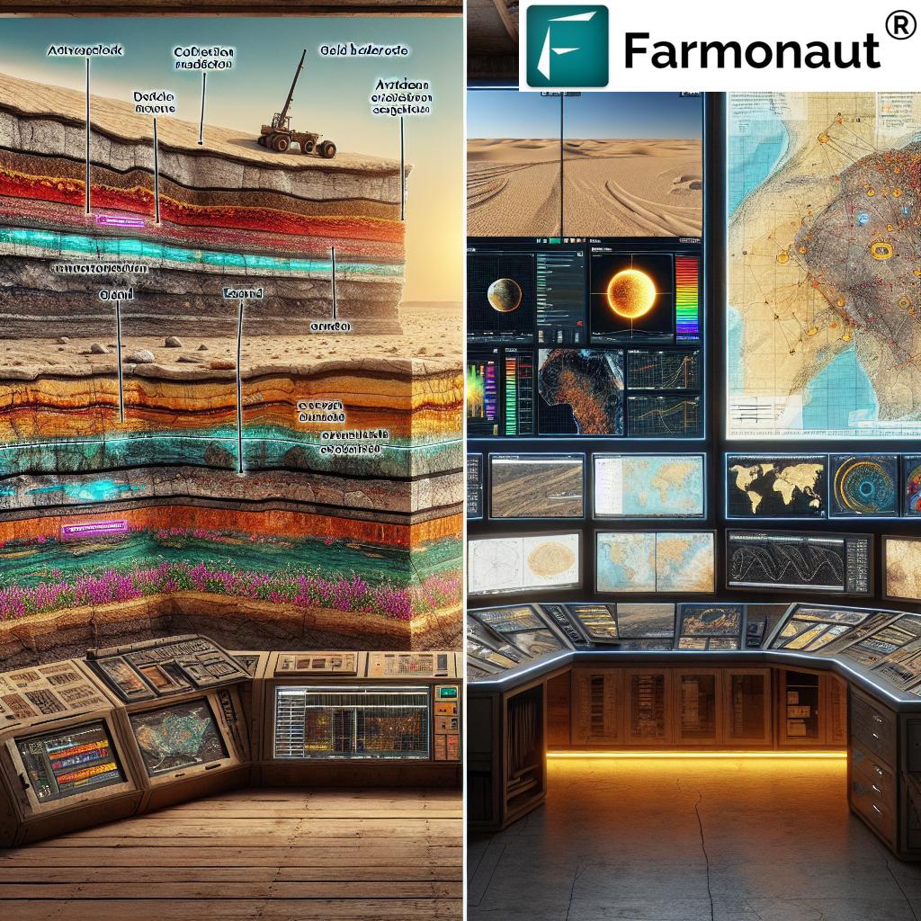
At Farmonaut, we’re proud to be at the forefront of this technological convergence. Our suite of precision agriculture tools is finding new and exciting applications in the mining sector:
- Satellite-Based Vegetation Analysis: Originally designed for crop health monitoring, our satellite imagery analysis tools are now being used to identify subtle changes in vegetation that may indicate underlying mineral deposits.
- Drone-Based Multispectral Imaging: Our agricultural drones, equipped with multispectral cameras, are providing detailed surface data that can reveal geological structures hidden to the naked eye.
- AI-Powered Data Interpretation: The same machine learning algorithms we use to analyze crop data are being repurposed to interpret geological and geophysical datasets, potentially uncovering patterns that human analysts might miss.
- Precision Soil Sampling: Our advanced soil sampling techniques, developed for precision agriculture, are now being adapted to collect and analyze soil samples for mineral exploration purposes.
These technologies are not just improving the efficiency of exploration; they’re fundamentally changing how we approach the search for mineral deposits in challenging environments like the Kalahari.
Sustainable Practices in Mineral Exploration
As we push the boundaries of exploration technology, we at Farmonaut remain committed to sustainable practices. Our approach to mineral exploration draws inspiration from sustainable agriculture practices, minimizing environmental impact while maximizing efficiency:
- Reduced Ground Disturbance: By leveraging remote sensing and drone technology, we significantly reduce the need for extensive ground-based surveys, minimizing disturbance to local ecosystems.
- Water Conservation: Our precision agriculture techniques for water management are being adapted to optimize water use in exploration activities, a crucial consideration in arid regions like the Kalahari.
- Energy Efficiency: The use of solar-powered drones and energy-efficient data processing systems helps reduce the carbon footprint of exploration activities.
- Data-Driven Decision Making: By providing more accurate and comprehensive data, we enable exploration companies to make more informed decisions, reducing unnecessary drilling and sampling.
These sustainable practices not only benefit the environment but also improve the long-term viability and public perception of mining projects.
The Future of Resource Exploration
As we look to the future, the convergence of precision agriculture technologies and mineral exploration is set to unlock new possibilities in resource discovery. At Farmonaut, we’re continuously innovating to stay at the forefront of this exciting field:
- Integration of Blockchain Technology: We’re exploring ways to use blockchain for secure and transparent data management in exploration projects, ensuring the integrity of geological data and sample analyses.
- Advanced Machine Learning Algorithms: Our ongoing research into AI and machine learning is focused on developing more sophisticated algorithms capable of predicting mineral deposits based on complex, multidimensional datasets.
- Hyperspectral Imaging: We’re investing in cutting-edge hyperspectral imaging technology that can provide even more detailed information about surface mineralogy and geology.
- IoT and Real-Time Data Analysis: The integration of Internet of Things (IoT) devices in exploration equipment will enable real-time data collection and analysis, allowing for more dynamic and responsive exploration strategies.
These advancements promise to make mineral exploration more efficient, cost-effective, and environmentally friendly, potentially leading to discoveries in areas previously thought to be uneconomical or inaccessible.
Comparative Analysis: Traditional vs. Advanced Exploration Techniques
| Aspect | Traditional Methods | Farmonaut’s Advanced Techniques |
|---|---|---|
| Terrain Coverage | Limited by physical access and time constraints | Extensive coverage using satellite and drone technology |
| Data Collection | Ground-based surveys, manual sampling | Integrated drone and satellite imagery, automated sampling |
| Analysis Methods | Manual interpretation, limited data integration | AI-powered agricultural data analytics adapted for mineral exploration |
| Environmental Impact | Potentially high due to extensive ground disturbance | Minimized impact through remote sensing and precision techniques |
| Cost-Effectiveness | High costs for comprehensive coverage | More cost-effective due to automation and data-driven decision making |
Challenges and Opportunities
While the application of precision agriculture technologies in mineral exploration offers tremendous potential, it’s not without its challenges:
- Data Integration: Combining diverse datasets from agricultural and geological sources requires sophisticated data management and analysis tools.
- Regulatory Adaptation: The use of novel technologies in mineral exploration may require updates to existing regulatory frameworks.
- Skill Gap: There’s a need for professionals who understand both agricultural technology and geology, creating opportunities for interdisciplinary training and collaboration.
- Technology Adoption: Convincing traditional mining companies to adopt these new technologies can be a challenge, requiring demonstrated success and clear cost-benefit analyses.
However, these challenges also present opportunities for innovation and growth in both the agricultural technology and mining sectors.
Conclusion: A New Era of Exploration
The convergence of precision agriculture technologies and mineral exploration is ushering in a new era of resource discovery. At Farmonaut, we’re proud to be at the forefront of this revolution, applying our expertise in agricultural remote sensing and data analytics to unlock the mineral potential hidden beneath the Kalahari sands and beyond.
As we continue to innovate and push the boundaries of what’s possible, we’re not just changing how we explore for minerals; we’re reimagining the future of resource discovery. By bridging the gap between agriculture and mining, we’re creating more efficient, sustainable, and effective exploration methods that have the potential to uncover hidden treasures in some of the world’s most challenging environments.
The Kraaipan Gold Project in Botswana is just the beginning. As these technologies continue to evolve and mature, we anticipate a wave of new discoveries, not just in Africa, but in underexplored regions around the globe. The future of mineral exploration is here, and it’s being shaped by the unlikely alliance of precision agriculture and advanced geoscience.
At Farmonaut, we’re committed to driving this revolution forward, leveraging our expertise in agricultural technology to unlock the Earth’s hidden resources in ways that are more efficient, sustainable, and respectful of the environment. As we look to the future, we see a world where the boundaries between different scientific disciplines blur, creating new opportunities for innovation and discovery.
Join us on this exciting journey as we continue to revolutionize the world of mineral exploration, one precision-guided insight at a time.
FAQ Section
- How does Farmonaut’s technology adapt agricultural drone applications for mineral exploration?
We repurpose our agricultural drones with specialized sensors and cameras to conduct high-resolution magnetic surveys and multispectral imaging over potential mineral-rich areas, providing detailed data that was previously difficult to obtain. - What are the main advantages of using satellite imagery for crop management in mineral exploration?
Satellite imagery originally used for crop health assessment is now applied to identify geological features and potential mineralization zones over large areas, offering a cost-effective way to survey vast terrains like the Kalahari. - How does Farmonaut’s approach to soil sampling differ from traditional methods in mineral exploration?
Our precision agriculture soil sampling techniques have been adapted to provide more detailed and accurate analyses of mineral compositions in soil, allowing for more targeted and efficient exploration efforts. - Can Farmonaut’s agricultural data analytics really be applied to geological data?
Yes, our robust data analytics platforms are being modified to process and interpret geological and geophysical data, potentially revealing patterns and correlations that might be missed by traditional analysis methods. - How does the use of precision agriculture technologies in mineral exploration benefit the environment?
By leveraging remote sensing and precision techniques, we significantly reduce the need for extensive ground disturbance, minimize water usage, and optimize resource allocation, leading to more environmentally friendly exploration practices.
For more information on how Farmonaut’s innovative technologies can revolutionize your exploration projects, visit our web application or explore our API services. Developers can find detailed documentation in our API Developer Docs.
Download our mobile apps for on-the-go access to our cutting-edge technologies:


