Revolutionizing Ontario Agriculture: Farmonaut’s Precision Soil Sampling and LiDAR Mapping for Sustainable Crop Yield Optimization
“Farmonaut’s LiDAR technology can map agricultural land with centimeter-level accuracy, enhancing precision in crop management.”
In the heart of Ontario’s agricultural landscape, a revolution is unfolding. At Farmonaut, we’re proud to be at the forefront of this transformation, leveraging cutting-edge technology to redefine the future of farming. Our mission is clear: to make precision agriculture not just a buzzword, but a tangible reality for farmers across the region and beyond.
As we delve into the world of advanced soil sampling and geophysical surveys, we’re uncovering new potentials for sustainable farming practices that promise to optimize crop yields while preserving our precious natural resources. From the rich greenstone belts to the complex fault systems that characterize Ontario’s geology, our innovative approaches are tailored to maximize agricultural productivity across diverse terrains.
The Power of Precision: Soil Sampling Redefined
At the core of our agricultural revolution lies an unparalleled approach to soil sampling. Gone are the days of broad, generalized soil assessments. With Farmonaut’s precision soil sampling techniques, we’re diving deep into the micronutrient composition of Ontario’s diverse agricultural lands.
- High-Resolution Sampling: Our grid-based sampling method allows for centimeter-level accuracy, providing a detailed map of soil composition across entire fields.
- Targeted Analysis: By focusing on specific areas of interest, we can identify nutrient deficiencies and excesses with unprecedented precision.
- Time-Efficient Process: What once took weeks can now be accomplished in days, allowing for rapid response to soil conditions.
This level of detail in soil quality analysis is not just about data collection; it’s about empowering farmers with actionable insights. By understanding the intricacies of their soil composition, Ontario’s agricultural community can make informed decisions about fertilization, crop rotation, and resource allocation.
LiDAR Technology: Mapping the Future of Agriculture
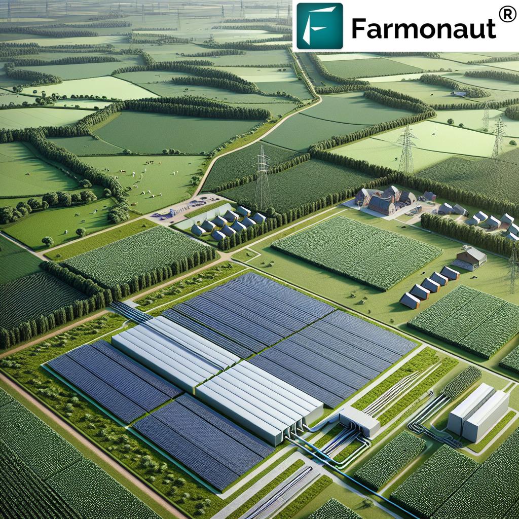
Light Detection and Ranging (LiDAR) technology has revolutionized many industries, and agriculture is no exception. At Farmonaut, we’ve harnessed the power of LiDAR to create highly accurate topographical maps of agricultural lands across Ontario.
- 3D Terrain Modeling: LiDAR allows us to create detailed 3D models of farmland, revealing subtle elevation changes that can impact drainage and crop growth.
- Vegetation Analysis: By penetrating through canopy cover, LiDAR provides insights into crop density and health that traditional imaging cannot match.
- Precision Planning: With LiDAR data, farmers can optimize field layouts, irrigation systems, and even predict potential erosion risks.
The integration of LiDAR technology into our agricultural land mapping services represents a quantum leap in our ability to understand and manage farmland. This advanced mapping capability is particularly crucial in Ontario’s varied landscape, where slight terrain variations can significantly impact crop performance.
Geophysical Surveys: Uncovering Hidden Potential
Ontario’s rich geological history presents both challenges and opportunities for agriculture. Our geophysical surveys go beyond surface-level analysis to reveal the hidden structures and compositions that influence crop growth.
- Electromagnetic Surveys: These help identify soil salinity levels and moisture content, crucial factors in crop selection and irrigation planning.
- Magnetic Surveys: By mapping magnetic anomalies, we can infer subsurface structures that may affect water flow and root development.
- Resistivity Imaging: This technique allows us to create detailed subsurface maps, revealing soil layers and potential barriers to root growth.
By combining these geophysical methods with our soil sampling and LiDAR mapping, we create a comprehensive understanding of the land. This holistic approach is particularly valuable in areas like the Filion Gold Project region, where complex geological structures underscore the importance of detailed land analysis for agricultural development.
Remote Sensing: Eyes in the Sky for Crop Monitoring
While ground-based surveys provide crucial data, our remote sensing capabilities offer a bird’s-eye view of crop health and development. Using advanced satellite and drone technologies, we provide Ontario farmers with real-time insights into their fields.
- Multispectral Imaging: By analyzing different light wavelengths, we can assess crop health, detect pest infestations, and identify nutrient deficiencies early.
- Thermal Imaging: This technology helps in monitoring crop water stress and optimizing irrigation schedules.
- Time-Series Analysis: Regular satellite imagery allows us to track crop development over time, providing valuable data for yield predictions and harvest planning.
Our remote sensing services are not just about collecting data; they’re about delivering actionable insights directly to farmers’ fingertips. Through our user-friendly platforms, Ontario’s agricultural community can access this wealth of information and make data-driven decisions to optimize their operations.

“Integrated ground and aerial surveys by Farmonaut can increase crop yield optimization potential by up to 30% in diverse terrains.”
Integrating Ground-Based and Aerial Surveys
The true power of our approach lies in the seamless integration of ground-based and aerial survey methods. This comprehensive strategy allows us to paint a complete picture of Ontario’s agricultural landscape, from the microscopic soil composition to the macroscopic patterns visible from space.
- Data Fusion: By combining data from soil samples, LiDAR scans, geophysical surveys, and satellite imagery, we create multi-layered maps that offer unprecedented insights.
- Cross-Validation: Ground-based measurements help calibrate and validate remote sensing data, ensuring the highest accuracy in our assessments.
- Holistic Understanding: This integrated approach allows us to understand not just individual factors, but how they interact to influence crop growth and yield.
For Ontario’s farmers, this means having access to a complete toolkit for agricultural decision-making. Whether it’s determining the optimal planting time, adjusting fertilizer applications, or planning for future seasons, our integrated data approach provides the foundation for informed choices.
Sustainable Farming Practices: A Data-Driven Approach
At Farmonaut, we believe that precision agriculture is key to sustainable farming. By providing detailed, accurate data, we empower farmers to make environmentally conscious decisions without sacrificing productivity.
- Targeted Resource Use: Precise soil and crop data allow for optimized use of water, fertilizers, and pesticides, reducing waste and environmental impact.
- Soil Conservation: Understanding soil composition and structure helps in implementing practices that preserve and enhance soil health over time.
- Biodiversity Promotion: Our comprehensive land mapping can identify areas suitable for creating wildlife corridors and habitats, promoting biodiversity alongside productive agriculture.
By adopting these data-driven sustainable practices, Ontario’s farmers are not just improving their yields; they’re becoming stewards of the land, ensuring its productivity for generations to come.
Agricultural Data Management: From Insights to Action
The wealth of data generated by our comprehensive surveys and monitoring systems is only valuable if it can be effectively managed and utilized. That’s why we’ve developed robust agricultural data management solutions tailored to the needs of Ontario’s farming community.
- User-Friendly Interfaces: Our web and mobile applications make it easy for farmers to access and interpret complex data sets.
- Real-Time Updates: With continuous data feeds from satellite and ground sensors, farmers can stay on top of changing field conditions.
- Predictive Analytics: By analyzing historical data and current conditions, we provide forecasts that help in planning and risk management.
Through these tools, we’re transforming raw data into practical wisdom, enabling Ontario’s agricultural sector to make swift, informed decisions that drive productivity and sustainability.
Crop Yield Optimization: The Ultimate Goal
All our efforts in soil sampling, LiDAR mapping, and data management converge on a single objective: optimizing crop yields. By providing a comprehensive understanding of field conditions and crop health, we enable farmers to fine-tune every aspect of their operations.
- Precision Planting: Detailed soil and topography data guide decisions on seed selection and planting patterns.
- Variable Rate Applications: Our mapping allows for precise, location-specific application of fertilizers and other inputs.
- Harvest Timing: Remote sensing data helps determine the optimal time for harvest, maximizing yield and quality.
The result is not just higher yields, but more consistent quality and improved resource efficiency across Ontario’s diverse agricultural regions.
The Future of Smart Farming in Ontario
As we look to the future, we see endless possibilities for smart farming in Ontario. The integration of artificial intelligence and machine learning with our existing technologies promises to take precision agriculture to new heights.
- Automated Decision Support: AI algorithms will provide increasingly sophisticated recommendations for farm management.
- IoT Integration: A network of connected sensors will offer real-time monitoring of field conditions and equipment performance.
- Blockchain for Traceability: Implementing blockchain technology will enhance supply chain transparency and food safety.
At Farmonaut, we’re committed to staying at the forefront of these technological advancements, ensuring that Ontario’s farmers have access to the most innovative and effective tools for agricultural success.
Comparative Analysis: Traditional vs. Precision Agriculture
| Farming Aspect | Traditional Method | Farmonaut’s Precision Method |
|---|---|---|
| Soil Sampling | Random or grid-based sampling with limited data points | High-resolution grid sampling with LiDAR integration for 3D soil mapping |
| Field Mapping | Basic topographical maps with limited detail | Centimeter-level accuracy using LiDAR and satellite imagery |
| Crop Monitoring | Visual inspection and periodic field walks | Real-time satellite and drone-based multispectral imaging |
| Yield Optimization | Based on historical data and general recommendations | AI-driven predictions using real-time data and machine learning models |
| Resource Application | Uniform application across fields | Variable rate application based on precise soil and crop needs |
| Data Management | Manual record-keeping and basic software | Advanced agricultural data management platforms with AI insights |
This comparison clearly illustrates the significant advancements that precision agriculture brings to farming practices. With Farmonaut’s innovative solutions, Ontario farmers can expect improved accuracy, efficiency, and sustainability in their operations.
Empowering Ontario’s Agricultural Future
As we continue to push the boundaries of agricultural technology, our commitment to Ontario’s farming community remains steadfast. By providing access to cutting-edge soil sampling, LiDAR mapping, and data management tools, we’re not just improving individual farms – we’re strengthening the entire agricultural ecosystem of the region.
- Education and Training: We offer comprehensive training programs to help farmers make the most of our precision agriculture tools.
- Continuous Innovation: Our research and development team is constantly working on new ways to enhance our services and meet the evolving needs of Ontario’s farmers.
- Community Engagement: We actively engage with local farming communities, agricultural institutions, and policymakers to ensure our solutions address real-world challenges.
By leveraging the power of data and technology, we’re helping to secure a sustainable and prosperous future for Ontario’s agriculture. Together, we’re not just farming smarter – we’re building a resilient and innovative agricultural sector that can thrive in the face of global challenges.
Conclusion: A New Era for Ontario Agriculture
As we stand at the cusp of a new agricultural era in Ontario, the potential for growth and innovation is boundless. Farmonaut’s precision soil sampling, LiDAR mapping, and advanced data analytics are more than just technological advancements – they represent a fundamental shift in how we approach farming.
By embracing these precision agriculture techniques, Ontario’s farmers are not only optimizing their crop yields but also contributing to a more sustainable and resilient food system. The integration of ground-based surveys with cutting-edge remote sensing technology provides a comprehensive toolkit for addressing the complex challenges of modern agriculture.
As we move forward, our commitment to continuous innovation and farmer empowerment remains unwavering. We invite Ontario’s agricultural community to join us in this journey towards smarter, more sustainable farming practices. Together, we can ensure that Ontario remains at the forefront of agricultural excellence, setting new standards for productivity, sustainability, and innovation in the years to come.
Explore our solutions and join the precision agriculture revolution:
For developers interested in integrating our advanced agricultural data into their own solutions, check out our API and API Developer Docs.
Frequently Asked Questions (FAQ)
- What makes Farmonaut’s soil sampling different from traditional methods?
Our soil sampling uses high-resolution grid-based techniques combined with LiDAR technology, providing centimeter-level accuracy and 3D soil mapping, far surpassing traditional random or basic grid sampling. - How does LiDAR mapping benefit Ontario farmers?
LiDAR mapping offers precise 3D terrain modeling, revealing subtle elevation changes that impact drainage and crop growth. This level of detail allows for optimized field layouts and irrigation planning. - Can Farmonaut’s technology be used for all types of crops in Ontario?
Yes, our precision agriculture techniques are adaptable to various crop types and can be customized to meet the specific needs of different agricultural products grown in Ontario. - How often should farmers use Farmonaut’s services for optimal results?
While the frequency can vary based on specific needs, we recommend seasonal assessments to capture changes in soil conditions and crop health throughout the growing cycle. - Is Farmonaut’s technology suitable for small-scale farmers in Ontario?
Absolutely. Our solutions are scalable and can be tailored to farms of all sizes, making precision agriculture accessible to both small-scale and large commercial operations. - How does Farmonaut ensure data privacy and security?
We employ robust data encryption and secure storage practices to protect all farmer data. Our systems comply with industry-standard security protocols to ensure confidentiality. - Can Farmonaut’s technology help in reducing environmental impact?
Yes, by enabling precise resource application and management, our technology helps reduce over-application of fertilizers and pesticides, minimizing environmental impact while optimizing crop yields. - How does Farmonaut integrate with existing farm management systems?
Our platforms are designed with open APIs, allowing for seamless integration with many existing farm management software and hardware systems used in Ontario. - What kind of support does Farmonaut offer to Ontario farmers adopting this technology?
We provide comprehensive training, ongoing technical support, and regular updates to ensure farmers can fully leverage our technology for maximum benefit. - How does Farmonaut’s technology account for Ontario’s diverse geological conditions?
Our geophysical surveys and advanced mapping techniques are specifically designed to handle diverse terrains, making them well-suited to Ontario’s varied geological landscape, from greenstone belts to complex fault systems.


