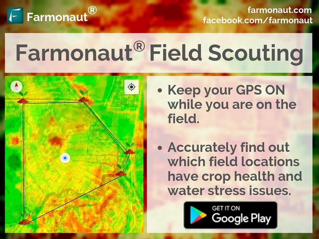
Farmonaut matches the user location with satellite coordinates and shows unhealthy vegetation of the field and water stress condition in red and yellow. Upon identifying these regions of the fields, farmers can simply pay a visit to that part of the field and identify if the problem has already started. If it has not, the farmer can take preventive remedies by applying more fertilizers, plant growth regulators, improving irrigation etc. Farmonaut strives to bring state of the art technologies in the grasp of every farmer, and will continue adding more features in the coming days. ☺️ Happy Farming!! 🌱🌾👩🌾 #farming #organicfarming #crops #urbanfarming #fieldscouting #smartfarming #precisionagriculture #agro #agrotech #farm #agritech #vegetables #agriculture #foodsecurity #technology #greentech #satellite #vegetation #india #gis
