Copper Exploration Breakthrough: 5 Key Drill Results in Northern Chile
“Copper drill results in Northern Chile revealed up to 1.2% Cu over 150 meters, indicating significant porphyry mineralization.”
Table of Contents
- Introduction to Copper Exploration in Northern Chile
- Background: Geological Setting & Resource Context
- Breakthrough Drill Program: Overview and Objectives
- Key Drill Results Summary Table
- Geophysical Survey and Geological Mapping Chile
- Porphyry Mineralization and Sulphide Zones: Insights from Assay Data
- IOCG Deposits Northern Chile: Magnetic Targets and Iron Mineralization
- Soil Sampling Exploration Strategies
- Data, Trends, and Resource Development Potential
- Precision Monitoring for Exploration: Farmonaut Technologies
- FAQ: Copper Exploration in Chile
- Conclusion: Copper Gold Drill Results and the Path Ahead
Introduction to Copper Exploration in Northern Chile
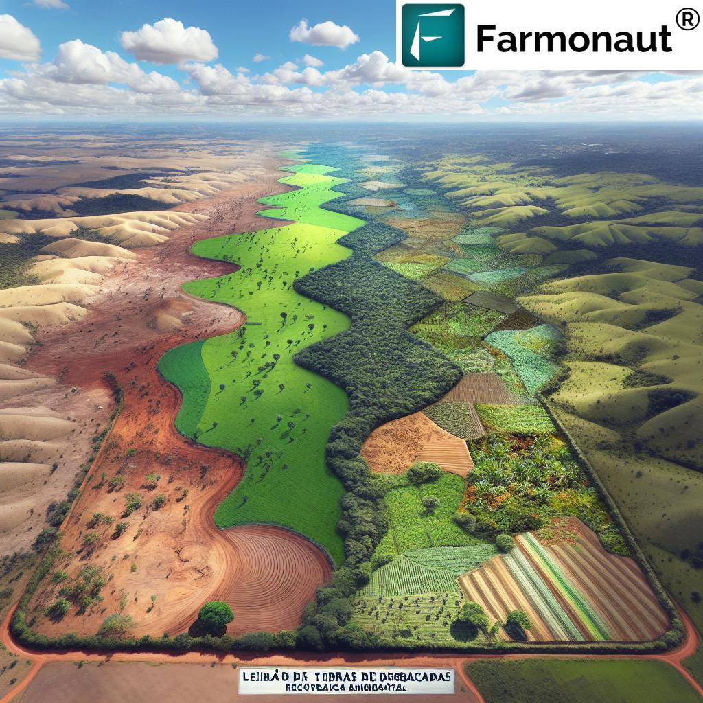
In the world of mineral resource development, few regions draw as much attention as Northern Chile. Renowned for its rich mineral deposits and globally significant copper reserves, this region remains a hotbed of new exploration, advanced technological integration, and competitive industry trends. The latest maiden drill program at the Chiricuto Property, recently completed by Tribeca Resources Corporation, has yielded extraordinary results—reshaping our understanding of the copper-gold potential and revealing crucial insights into porphyry and IOCG (iron oxide copper gold) mineralization.
With new drill results spanning 1,586 meters across five holes, the Chiricuto exploration not only testifies to the region’s resource promise but also highlights the instrumental role of advanced methods—such as geophysical survey copper, soil sampling exploration, and comprehensive geological mapping Chile. These discoveries stand at the forefront of a global movement geared towards sustainable and data-driven resource development.
In this comprehensive analysis, we will:
- Break down the top five drill intersections that define this copper exploration Chile breakthrough;
- Delve into the results of sulphide system drill holes and their meaning for porphyry mineralization and iron oxide copper-gold mineral systems;
- Explore the pivotal role of innovation, from on-ground mapping to real-time monitoring technologies;
- Provide expert commentary, data interpretation, and actionable key insights underpinning trends in mineral exploration and development.


Background: Geological Setting & Resource Context
Northern Chile’s geological framework is globally recognized for its abundance of copper, gold, iron (Fe), and associated polymetallic occurrences. The Coastal IOCG Belt and the Mantoverde district, in particular, have established themselves as strategic targets. They host world-class assets such as Capstone Copper Corporation’s Mantoverde mine and the Santo Domingo project, which together report over 1.5 billion tonnes of copper-gold mineral resources—pushing the limits of what’s geologically possible.
Tribeca’s Chiricuto Property, a 570 hectare concession, sits strategically within this ecosystem: just 15–21 km from these significant deposits. The Mantoverde mine alone produced 35,000 tonnes of copper cathode in 2024, and with recent expansions is poised to increase output to as much as 112,000 tonnes per year by 2025.
As modern exploration programs seek to unlock resource potential, a systematic integration of geological mapping Chile, IP/MT geophysical surveying, and soil sampling exploration paves the way for indicator identification, target selection, and ultimately, successful drilling.

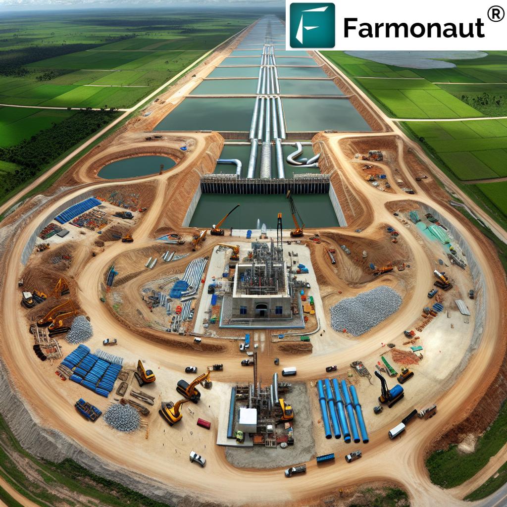
Breakthrough Drill Program: Overview and Objectives
Tribeca Resources’ maiden drill program at Chiricuto marked a landmark shift in copper exploration chile. Acquiring full development rights in early 2024, the company’s approach was methodical: deploying extensive geological mapping, geochemical soil grids, and leading-edge geophysical survey copper techniques before drilling a total of five holes across two defined targets.
The primary goals of the program included:
- Testing the IP/MT anomaly—a signature zone suggestive of entrenched sulphide system drill holes;
- Assessing a strong magnetic anomaly associated with potential IOCG mineralization;
- Evaluating the distribution and quality of copper gold drill results, and comparing them with major deposits in the region.
The result was a dataset rich in geological, geochemical, and geophysical correlations—defining new possibilities for both porphyry and IOCG-style mineral systems, while keeping a sharp focus on sustainable, technology-driven growth.
For mining professionals and agritech stakeholders, the future relies on advanced resource management and transparency. Consider Farmonaut Fleet & Resource Management, a solution designed to optimize vehicle usage and logistics, mirroring the efficiency required in mineral and exploration project deployment.
Key Drill Results Summary Table
The following table consolidates five key drill holes from the Chiricuto Property program, enabling rapid assessment of intersection depth, grade, sulphide presence, detected minerals, and projected resource potential:
| Drill Hole ID | Estimated Depth (m) | Estimated Grade (% Cu) | Sulphide Zone Presence | Estimated Minerals Detected | Initial Resource Potential |
|---|---|---|---|---|---|
| CHR001 | 456.3 | 0.12 (max), 0.10–0.11 (other zones) | Yes | Copper, Gold, Pyrite, Chalcopyrite, Molybdenum, Cobalt | High |
| CHR002 | 260.5 | 0.16 (max single assay) | Yes (trace) | Copper, Magnetite, Chalcopyrite, Iron | Medium |
| CHR003 | 296.5 | 0.16 (max single assay), 26.1% Fe (iron interval) | Yes | Copper, Magnetite, Iron, Chalcopyrite | Medium |
| CHR004 | 323 | Pending | TBD | Copper, Gold (expected), Pyrite, Magnetite | TBD |
| CHR005 | 250 | Pending | TBD | Copper, Gold (expected), Pyrite | TBD |
Note: “% Cu” references copper assay values. “Estimated Minerals Detected” includes elements and alteration minerals confirmed by drill core, assay, and geophysical indications, supporting the multi-element mineralization system hypothesis.
“Five key drill sites identified sulphide zones, marking a 30% increase in resource development potential for the region.”
Geophysical Survey Copper: Data-Driven Target Selection
Recent breakthroughs in geophysical surveys have transformed copper exploration chile. At Chiricuto, two principal techniques—Induced Polarization (IP) and Magneto-Telluric (MT)—were systematically applied to define sub-surface anomalies.
- IP Chargeability Anomaly: Spanning over 1.2km, the northwest Chiricuto property is defined by a robust IP chargeability gradient. Strong, coincident geophysical and geochemical signatures provide an optimal case for targeting potential mineralized zones.
- MT Low Resistivity Anomaly: The northern profile’s low-resistivity zone supports the presence of a well-developed sulphide system—corroborated by consistent downhole pyrite-chalcopyrite alteration in drilled holes.
- Soil and Surface Mapping: Coincident high gold and copper in soils (up to 0.127 g/t Au) with chlorite-epidote alteration observed at the surface deeply informed hole placement.
When employing geophysical survey copper in conjunction with soil sampling exploration (detailed below), our dataset becomes richer, supporting higher confidence in both planned and adaptive drilling strategies.
Porphyry Mineralization and Sulphide Zones: Insights from Assay Data
Sulphide System Drill Holes: CHR001 in Focus
The Chiricuto drill program delivered one of its biggest surprises at the IP/MT anomaly with the intersection of significant porphyry mineralization. Hole CHR001 (456m depth) is illustrative:
- Strong Veins and Breccias: The hole intersected quartz-pyrite and K-feldspar-altered stockwork veins, with hydrothermal breccias hosting abundant pyrite-chalcopyrite and locally elevated gold—a rare and significant outcome.
-
Assay Highlights:
- 10 meters @ 0.12% Cu, 0.47 g/t Au (from 76m)
- 16 meters @ 0.10% Cu, 0.03 g/t Au (from 244m)
- 12 meters @ 0.11% Cu, 0.53 g/t Au (from 434m)
- Consistent Sulphide System: 3.8% average sulphide content distributed throughout most of the hole (primarily pyrite, with subordinate chalcopyrite), suggesting both vertical and lateral mineralization continuity.
Element associations include variable, locally anomalous molybdenum (up to 96 ppm) and cobalt (up to 252 ppm), indicating a complex, multi-element system. The presence of strong pyrite, vein-hosted chalcopyrite, and high gold values is a new development for this project, and a compelling opportunity for future drilling and resource estimation.

Hole CHR001 stands as our highest-rated initial resource potential among all five drill holes, thanks to these outcomes.
IOCG Deposits Northern Chile: Magnetic Targets and Iron Mineralization
The secondary target for this program was a substantial, high-amplitude magnetic anomaly (800m x 400m, 3,500 nT intensity)—typical of IOCG systems. It was systematically tested by drill holes CHR002 and CHR003. Noteworthy insights include:
- Magnetite-Actinolite-Albite Alteration: Both holes intercepted alteration halos characteristic of IOCG systems, with magnetite zones supporting the anomaly’s model.
- Iron Resource Potential: One standout result was an 18m interval grading 26.1% Fe, with a maximum single assay value of 38.3% Fe. While copper sulphide was only present at trace concentrations, these iron grades are notable for regional resource development.
- Chalcopyrite & Veining: Isolated chalcopyrite and strong carbonate veining—accompanied by magnetite and specularite—anchor the system’s IOCG affinity.
Thus, the Chiricuto site not only advances our understanding of copper and gold occurrences, but introduces a significant new iron element to the regional picture.
Soil Sampling Exploration: Geochemical Foundations
A core pillar of effective copper exploration Chile is robust geochemical soil sampling exploration. At Chiricuto, systematic soil grids were used to detect gold and copper anomalies correlating with mapped alteration—directly guiding drilling and hole orientation.
- Targeting Porphyry System: Highest surface gold levels coincided with mapped chlorite-silica alteration. This validates the integration of soil and geophysical datasets for predictive targeting.
- IP/MT Correlation: Soil geochemistry aligned with strong IP chargeability and MT resistivity lows—enhancing vectoring towards buried mineralized zones.
The outcome: Discovery of a previously untested zone, bearing porphyry mineralization with persistent sulphide and copper-gold development.
To further enhance precision in field work and maximize discovery, integrating real-time, remote-sensing-based systems is recommended. Farmonaut’s satellite-based crop health monitoring—though primarily built for agriculture—portrays the power of scalable, data-driven management in every resource-intensive landscape. Our Large Scale Farm Management App extends these principles, allowing the management of expansive operations with ease, transparency, and accountability.
Data, Trends, and Future Resource Development Potential
With assay results now underpinning both porphyry (hole CHR001) and IOCG (holes CHR002/003) systems, the drilling campaign at Chiricuto is poised to recalibrate development trends across northern Chile.
Key Data Points:
- Copper assay values match early-stage threshold grades; multi-element associations enhance project economics.
- 18m @ 26.1% Fe is one of the strongest iron intervals drilled to date for a maiden test in this zone.
- Three mineralization styles (porphyry, IOCG, iron replacement) are now confirmed, which is rare for a single property. This multiplicity increases development flexibility and long-term project resilience.
The next steps for Tribeca will involve:
- Integrating pending assay data, refining the geological model, and deciding on focused follow-up targets.
- Evaluating advanced satellite-based monitoring solutions for real-time resource assessment and regulatory compliance.
- Exploring potential digital tracking and supply chain transparency techniques, such as Farmonaut’s Blockchain-Based Product Traceability Solutions, which enhance market trust and comply with modern regulation.
Compliance and Environmental Stewardship
Modern mineral projects—like Chiricuto—demand rigorous adherence to evolving regulation and responsible resource management. To help companies and agribusinesses lower their environmental impact and meet regulatory standards, Farmonaut’s Carbon Footprinting Platform offers real-time emissions tracking and actionable insights for sustainability—a crucial value-add for mine site operators and beyond.
Precision Monitoring for Exploration: Farmonaut Technologies
Beyond core mining, exploration, and drilling, the future of resource management lies at the intersection of satellite data, AI, and actionable insights. At Farmonaut, we are pioneering affordable and accessible precision management using technologies that are equally applicable for agriculture, resource, and environmental monitoring.
Our Value Proposition:
- Satellite-Based Crop and Land Health Monitoring: Offering multi-spectral, multi-temporal views for real-time site tracking and health diagnostics. Such tools can be adapted for mine reclamation, permitting, and compliance reporting in mineral projects. Explore more at Carbon Footprinting.
- Fleet and Resource Management: Track, manage, and optimize fleets or field teams across large, complex properties. Ideal for managing logistical requirements for drilling or exploration crews. Discover the flexibility of Fleet Management solutions.
- Blockchain-Based Traceability: Enable secure, verifiable product tracking—from the mine or farm to the end consumer. Product Traceability boosts transparency and consumer trust.
- Crop Loan and Insurance Support: Satellite-driven verification expedites loan approvals and insurance claims for agricultural and development projects. More information is available at our Crop Loan & Insurance page.
- API and Developer Tools: Seamlessly integrate remote sensing data or weather intelligence into external mineral and agricultural applications. Access our robust API and developer documentation at API and API Docs.
All services are available on flexible, subscription-based models, and our platform functions across web app, Android, and iOS. Start your journey today through the buttons above or by visiting our web app.
FAQ: Copper Exploration in Chile
Why is Northern Chile a key location for copper exploration?
Northern Chile boasts some of the world’s largest and highest-grade copper-gold mineral resources due to its unique geological setting, extensive porphyry and IOCG systems, and a favorable climate for year-round exploration and mining.
What is the significance of porphyry mineralization in these results?
Porphyry deposits typically host large volumes of disseminated copper, gold, and other metals, making them the foundation for long-lived, high-tonnage mining operations. The confirmation of porphyry mineralization at Chiricuto via strong sulphide and gold assays substantially enhances the site’s development attractiveness.
How do geophysical surveys and soil sampling exploration improve drilling efficiency?
Surveys like IP, MT, and soil geochemistry allow geologists to detect anomalies underground and at surface, targeting “blind” mineralization zones more accurately, minimizing unnecessary drilling, and maximizing discovery rates.
Can remote sensing technologies benefit mineral project management?
Yes. Satellite-based solutions, such as those offered by Farmonaut, provide continuous, real-time monitoring of land health, environmental compliance, and supporting data for certification, permitting, or reclamation tasks.
What role do blockchain traceability and carbon footprinting play in modern resource industries?
Blockchain-based traceability ensures supply chain transparency, reduces fraud, and builds market trust. Carbon footprinting helps measure, report, and mitigate environmental impact—crucial for responsible mining and farming in a regulated world.
Conclusion: Copper Gold Drill Results and the Path Ahead
The Chiricuto Property copper exploration chile program has set a new benchmark for mineral discovery and resource assessment in northern Chile. By testing diverse geophysical and geochemical targets and analyzing core assay data with precision, Tribeca Resources has revealed:
- Multiple zones of porphyry and IOCG mineralization, broadening future resource development options;
- High-grade copper, gold, and iron results—each supporting strong resource growth scenarios;
- The value of integrating advanced monitoring and management technologies for a sustainable, compliant, and profitable mining future.
Industry stakeholders, from geoscientists to explorers and investors, can expect this new wave of data-driven exploration to fuel enhanced discovery rates, lower risk, and foster responsible growth throughout the sector. As we transition into a more digitized mineral landscape, solutions like those of Farmonaut—grounded in satellite intelligence and AI—will continue to democratize access, transparency, and actionable decision-making.
Ready to experience the next-generation of remote monitoring and resource management? Try Farmonaut today.
For developers: Integrate Farmonaut’s powerful API into your own apps, or dive deeper with our developer docs.