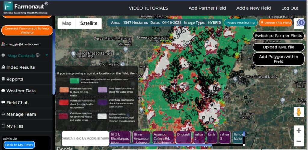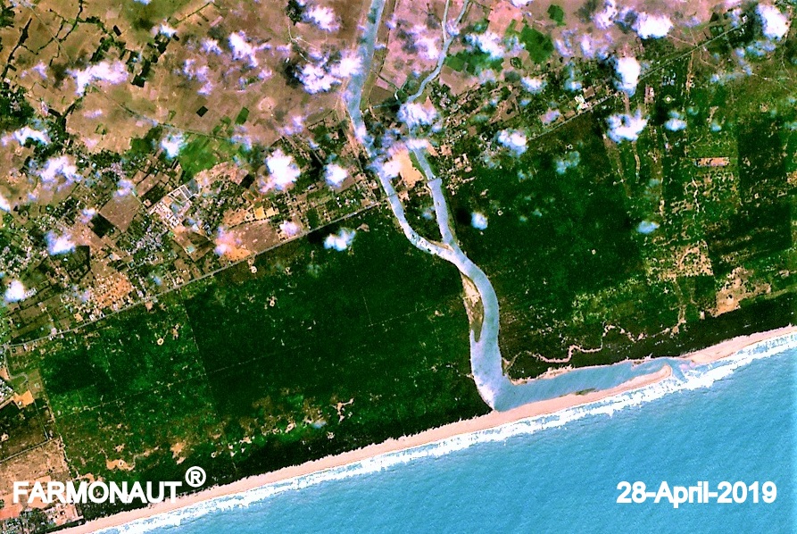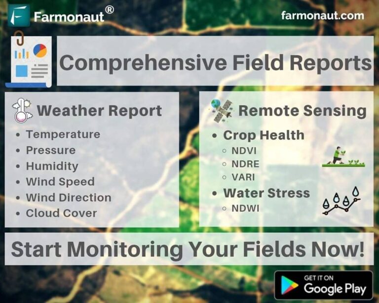
At Farmonaut, we had been helping farmers identify unhealthy crop regions and water stress in their fields through satellite imagery. Now farmers will also receive comprehensive field reports of their agricultural land whenever the satellite crosses their location. This report will consist of:
A. Remote sensing data which will consist of continuous analysis of crop health (NDVI, NDRE, VARI) and water stress (NDWI) through tables, graphs, color maps etc.
B. Continuous weather data through which farmer can identify how is their field performing with different weather parameters.
These reports will be automatically sent to the email ID of the farmer as well as can be directly downloaded through the app.
Update your app now to access this new feature.
Happy Farming!
#precisionagriculture #organicfarming #fieldreport #analysis #research #greentech #technology #tech #foodsecurity #nasa #esa #spacex #remotesensing #gis #earth #farming #farm #harvest #agriculture #satellite #crophealth #fruit #vegetables #crops #agritech


