THAI BANK KRUNGTHAI Acknowledged FARMONAUT'S RENOVATIVE USE OF SATELLITES IN AGRICULTURE
Krung Thai Bank is a development-focused financial institution in Thailand that aims to provide individuals with opportunities to access capital funds. The bank’s primary goal is to enable people to secure the necessary financial resources they need for various purposes. By offering financial services and support, Krung Thai Bank strives to empower individuals and businesses by providing them with the means to realize their goals and aspirations through capital funding.
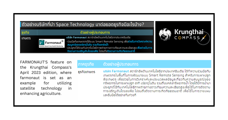
Recently, in April 2023, The Krung Thai Bank released an article, in the name of “Krungthai Compass” focusing Space Technology as the main context. The feature describes the various arenas where space technology and satellite data can be indulged in for obtaining information needed for entrepreneurs, research and development. In the sector of Agricultural renovation, Krungthai highlighted the contribution of Farmonaut as a leading Agri-tech startup that encompasses the Satellite Information encouraging precision farming.
VITALITY OF SPACE TECHNOLOGY IN THE CONTEMPORARY EPOCH
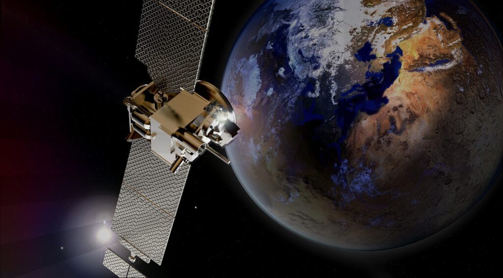
In the realm of information-based industries, satellite technology has emerged as a critical player, significantly impacting numerous business sectors. Over time, it has been extensively developed and utilized to enhance production efficiency and reduce operating costs. Different businesses have distinct demands and requirements for space technology, with variations in the specific details and purposes of its application. These variations can be attributed to factors such as the specific type of technology employed or the method used to process the data obtained from satellites.

Recognizing the transformative potential of space technology, Krungthai COMPASS, a prominent organization, has compiled a collection of entrepreneurs who have successfully implemented space technology to improve their business operations. These entrepreneurs have effectively leveraged the capabilities provided by satellite technology to optimize various aspects of their businesses.
For instance, in the agricultural sector, entrepreneurs have partnered with satellite technology companies, such as Farmonaut to analyze crop health, monitor soil conditions, and manage water resources efficiently. By accessing high-resolution satellite imagery and data analysis, farmers can make informed decisions about fertilization, irrigation, and crop protection measures. This results in enhanced productivity, improved crop quality, and reduced resource wastage.
Redefining Precision Agriculture:
Farmonaut's Trailblazing Smart Remote Sensing Solution
Farmonaut’s Smart Remote Sensing system is a game-changer in the field of agriculture. Developed as an Agri-tech startup, Farmonaut, in collaboration with local farmers, this innovative system utilizes satellite technology to provide valuable insights and analysis for crop cultivation.
The Smart Remote Sensing system harnesses the power of high-resolution satellite imagery to track and monitor various aspects of crop health and resource management. By analyzing data on soil minerals, water resources, and vegetation indices, the system offers farmers real-time information on the maturity and well-being of their crops. This allows farmers to make informed decisions about irrigation, fertilization, and pest management, leading to optimized resource allocation and increased crop productivity.
One of the key advantages of Farmonaut’s system is its ability to provide detailed information on crop growth and development. By continuously monitoring plant health and growth patterns through satellite imagery, farmers can identify early signs of stress or disease, enabling timely interventions to prevent crop losses. This proactive approach helps farmers mitigate risks and optimize yield potential.

FARMONAUT utilizes
High-resolution satellite imagery
and
Smart Remote Sensing system
for enhanced production
In addition to crop monitoring, the Smart Remote Sensing system also assists in disaster management and planning. By leveraging satellite technology, the system can track natural disasters such as floods, droughts, and storms. This enables farmers and relevant authorities to take timely action, such as evacuating livestock or implementing preventive measures to protect crops and infrastructure. By facilitating prompt responses to natural disasters, the system minimizes the impact on agricultural operations and helps farmers recover more effectively.
Farmonaut’s Smart Remote Sensing system offers a user-friendly interface and intuitive data visualization tools, making it accessible to farmers of all backgrounds. The system’s compatibility with mobile devices allows farmers to access critical information and insights on the go, empowering them with real-time knowledge and facilitating data-driven decision-making.
The implementation of Farmonaut’s system has yielded significant benefits for farmers. By optimizing resource utilization and minimizing wastage, farmers can reduce costs and increase profitability. The system also promotes sustainable agriculture practices by enabling precise irrigation and targeted nutrient management, reducing environmental impact and preserving precious resources.
CONCLUSION
Overall, Farmonaut’s Smart Remote Sensing system represents a game-changing technology in agriculture. By leveraging satellite imagery and advanced data analysis, this innovative system empowers farmers with actionable insights, enhances productivity, and enables effective resource management. With the continued advancement of space technology, such applications are set to transform the agricultural sector and contribute to a more sustainable and efficient farming ecosystem.

