Farmonaut’s Satellite-Based Crop Estimations Validate Egypt’s Wheat Cultivation Expansion

In the ever-evolving landscape of agricultural technology, we at Farmonaut once again demonstrated the power and precision of our satellite-based crop estimation systems. Our visit to Egypt in 2023 not only showcased the capabilities of our advanced technology but also validated the country’s impressive efforts in expanding its wheat cultivation areas.
The Egyptian Wheat Cultivation Challenge
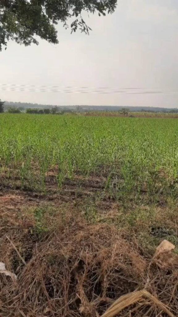
Egypt, known as the cradle of civilization, has always been intrinsically linked to agriculture, particularly wheat cultivation. As the world’s largest wheat importer, Egypt has been making concerted efforts to boost its domestic production to reduce import dependency and enhance food security.
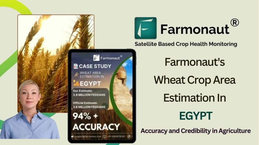
Initially, ground reports estimated the wheat cultivation area for this year at 3.3 million feddans (approximately 1.39 million hectares), which was similar to the previous year’s figures. However, our satellite-based crop monitoring system at Farmonaut painted a different picture.
Farmonaut’s Satellite-Based Crop Acreage Estimation
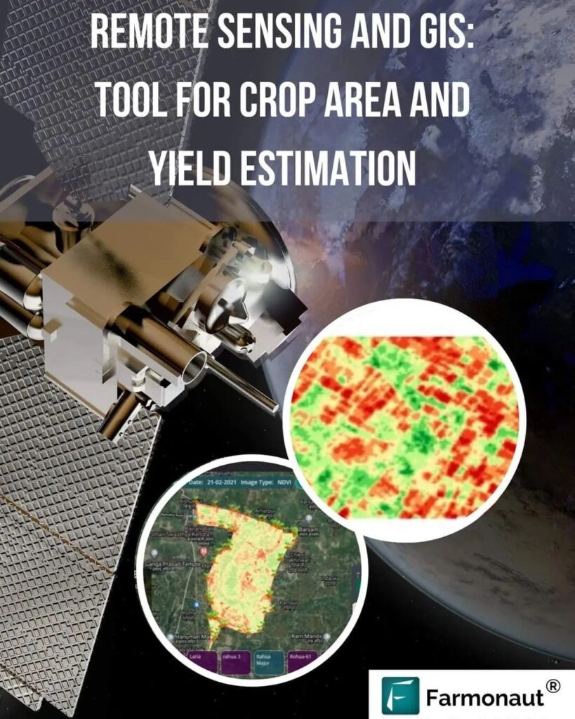
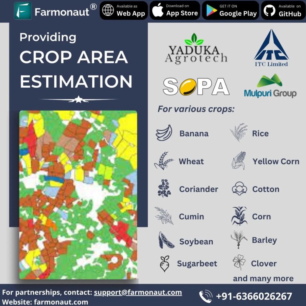
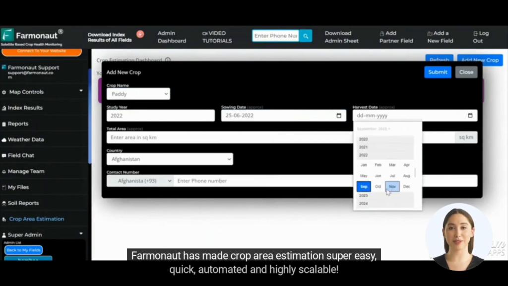
At Farmonaut, we leverage advanced satellite technology and artificial intelligence to provide accurate crop acreage estimation using remote sensing. Our system analyzed multispectral satellite imagery of Egypt’s agricultural regions, focusing on areas known for wheat cultivation.
Using our proprietary algorithms and machine learning models, we processed this data to identify wheat fields and estimate the total cultivation area. The results were surprising and promising:
- Our estimation projected a wheat cultivation area of 3.8-3.9 million feddans (approximately 1.6-1.64 million hectares)
- This represented a significant increase of about 15-18% compared to the initial ground reports
Validation of Farmonaut’s Estimations
Initially, our estimations were met with skepticism. However, subsequent events and official statements corroborated our findings:
- Reda Mohamed Ali, Head of the National Wheat Project, announced an increase in wheat cultivation land to 3.65 million feddans
- Hussein Abu Saddam, head of the General Syndicate of Peasants, declared that the 2023 wheat harvest is the largest yet, expecting a yield of over 10 million tons from 3.65 million acres of wheat
These official statements aligned closely with our satellite-based estimations, with only a 4-6% deviation. This convergence of data marks a significant victory for our team at Farmonaut and validates the accuracy and reliability of our crop monitoring satellite system.
The Importance of Accurate Crop Area Estimation
Accurate crop area estimation is crucial for several reasons:
- Food Security Planning: It allows governments to better assess domestic production capabilities and plan import needs
- Resource Allocation: Farmers and agricultural agencies can better allocate resources such as water, fertilizers, and pesticides
- Policy Making: Policymakers can make informed decisions about agricultural subsidies, support programs, and infrastructure development
- Market Insights: It provides valuable information for commodity traders, food processors, and other stakeholders in the agricultural value chain
Farmonaut’s Satellite Crop Monitoring System: A Game-Changer in Agriculture
Our satellite crop monitoring system at Farmonaut represents a significant leap forward in agricultural technology. Here’s how it compares to traditional methods and other technologies:
| Feature | Farmonaut Satellite System | Drone-based Monitoring | IoT-based Farm Monitoring |
|---|---|---|---|
| Coverage Area | Large scale (country-wide) | Limited (few farms) | Limited (individual farms) |
| Data Collection Frequency | Daily to weekly | On-demand | Continuous |
| Cost Effectiveness | High | Medium | Low |
| Data Processing Time | Fast (AI-powered) | Medium | Real-time |
| Weather Independence | High | Low | Medium |
| Scalability | Highly scalable | Limited scalability | Moderately scalable |
The Technology Behind Farmonaut’s Success
At Farmonaut, we leverage a combination of cutting-edge technologies to provide accurate and timely agricultural insights:
1. Satellite Imagery Analysis
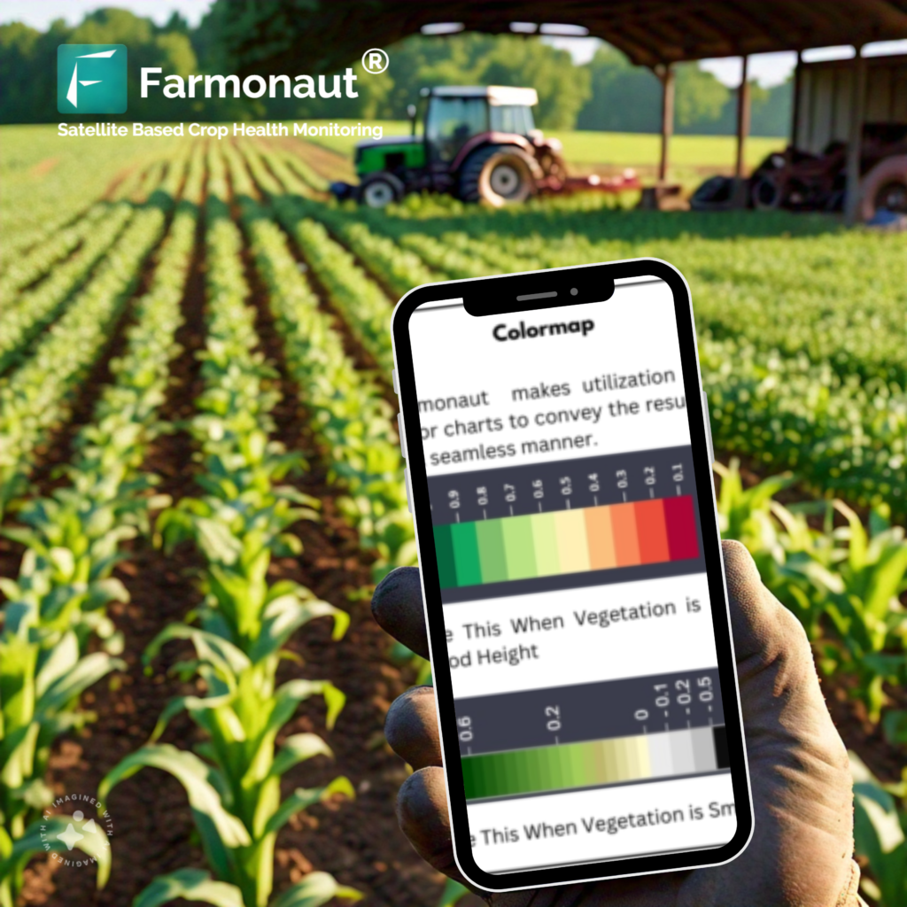
We use multispectral satellite imagery to capture detailed information about crop health, soil moisture, and land use. Our advanced algorithms process this data to identify crop types, estimate acreage, and assess crop health.
2. Artificial Intelligence and Machine Learning
Our AI models are trained on vast datasets of agricultural information, allowing them to recognize patterns and make accurate predictions about crop yields, disease outbreaks, and optimal harvest times.
3. Blockchain Technology
We integrate blockchain to ensure the traceability and transparency of agricultural products from farm to consumer, enhancing trust in the supply chain.
4. Weather API Integration
Our system incorporates real-time and forecasted weather data to provide more accurate predictions and recommendations for farm management.
The Farmonaut Advantage for Different Stakeholders
Our technology offers unique benefits to various stakeholders in the agricultural sector:
For Farmers:
- Real-time crop health monitoring
- Early pest and disease detection
- Optimized resource use (water, fertilizers, pesticides)
- Improved yield predictions
For Governments:
- Accurate crop area estimations for policy-making
- Better food security planning
- Efficient subsidy distribution
- Monitoring of agricultural expansion and land use changes
For Agribusinesses:
- Supply chain optimization
- Risk assessment and management
- Market intelligence for commodity trading
- Traceability solutions for quality assurance
The Importance of Soil in Agriculture
While our satellite-based system focuses on above-ground crop monitoring, we at Farmonaut recognize the importance of soil in agriculture. Healthy soil is the foundation of successful crop production, and our technology indirectly helps in soil management:
- Soil Moisture Monitoring: Our satellite imagery can detect soil moisture levels, helping farmers optimize irrigation practices
- Erosion Detection: By analyzing changes in vegetation cover, we can identify areas at risk of soil erosion
- Nutrient Management: Our crop health indicators can suggest areas where soil nutrients may be depleted, guiding targeted fertilizer application
Farmonaut’s Global Impact
While our recent success in Egypt highlights the capabilities of our system, Farmonaut’s impact extends far beyond a single country. We’re proud to offer our services globally, helping farmers and agricultural stakeholders worldwide to make data-driven decisions and improve productivity.
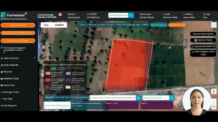
Our mobile application puts the power of satellite-based crop monitoring directly into the hands of farmers. Available for both Android and iOS devices, it allows users to monitor their fields, receive alerts, and access expert advice from anywhere.
Farmonaut API: Empowering Developers and Businesses
We believe in the power of collaboration and innovation. That’s why we offer our Farmonaut API, allowing developers and businesses to integrate our powerful satellite and weather data into their own applications and systems.
Our comprehensive API documentation provides all the information needed to leverage our technology for custom agricultural solutions.
Looking Ahead: The Future of Agriculture with Farmonaut
As we reflect on our success in Egypt and our global impact, we at Farmonaut are excited about the future of agriculture. We’re constantly innovating and expanding our capabilities to meet the evolving needs of the agricultural sector. Here are some areas we’re focusing on:
1. Enhanced AI and Machine Learning Capabilities
We’re continuously improving our AI models to provide even more accurate predictions and insights. This includes better crop yield forecasting, more precise pest and disease detection, and advanced crop type classification.
2. Integration with IoT Devices
While our satellite-based system provides broad coverage, we recognize the value of ground-level data. We’re working on integrating our platform with IoT devices to combine macro and micro-level insights for a more comprehensive view of agricultural conditions.
3. Climate Change Adaptation
As climate change continues to impact agriculture globally, we’re developing tools to help farmers adapt. This includes long-term climate trend analysis and recommendations for climate-resilient farming practices.
4. Expansion of Crop Coverage
While our success with wheat in Egypt is noteworthy, we’re expanding our capabilities to cover a wider range of crops. This will allow us to serve more diverse agricultural regions and farming systems.
5. Enhanced Sustainability Metrics
We’re developing more comprehensive sustainability metrics to help farmers and agribusinesses measure and improve their environmental impact. This includes carbon sequestration estimation, biodiversity indicators, and water use efficiency measures.
FAQs
Q: How accurate is Farmonaut’s satellite-based crop estimation?
A: Our estimations have shown to be highly accurate, with deviations typically within 4-6% of official figures, as demonstrated in our Egypt case study.
Q: Can Farmonaut’s technology be used for crops other than wheat?
A: Yes, our technology is adaptable to various crop types. While wheat was the focus in Egypt, we can monitor and estimate areas for a wide range of crops.
Q: How often is the satellite data updated?
A: The frequency of updates depends on the specific satellite sources we use, but typically ranges from daily to weekly updates.
Q: Is Farmonaut’s technology suitable for small-scale farmers?
A: Absolutely. We’ve designed our platform to be scalable and accessible to farmers of all sizes, from small-scale operations to large agribusinesses.
Q: How does Farmonaut’s technology help in sustainable farming?
A: Our technology promotes sustainability by optimizing resource use, reducing waste, and providing insights that allow for more environmentally friendly farming practices.
Q: Can Farmonaut’s data be integrated with other farm management software?
A: Yes, through our API, Farmonaut’s data can be integrated with various farm management software and systems.
Conclusion: Pioneering the Future of Agriculture
Our success in Egypt was just the beginning. At Farmonaut, we’re committed to pushing the boundaries of agricultural technology, making precision farming accessible and affordable for farmers worldwide. By combining satellite technology, AI, and deep agricultural expertise, we’re not just observing the future of farming – we’re actively shaping it.
As we continue to innovate and expand our services, we invite you to join us on this exciting journey. Whether you’re a small-scale farmer, a large agribusiness, or a government agency, Farmonaut has the tools and insights to help you thrive in the ever-changing world of agriculture.
Stay tuned for more updates as we continue to revolutionize farming, one satellite image at a time. Together, we can create a more productive, sustainable, and food-secure future for all.


