Farmonaut: Revolutionizing Crop Area and Yield Estimation with Cutting-Edge Technologies
In the ever-evolving landscape of agriculture, accurate and timely information on crop area, yield, and production has become paramount for effective planning and resource allocation. At Farmonaut, we understand the critical role this data plays in shaping agricultural policies and driving crucial decisions in procurement, storage, public distribution, import, export, and various other aspects of the agricultural sector.
In this comprehensive blog post, we’ll delve into how Farmonaut is leveraging cutting-edge technologies to revolutionize crop area and yield estimation at scale. Our innovative approach combines the power of remote sensing, precision agriculture, and agritech to provide unparalleled insights for farmers, policymakers, and agricultural stakeholders alike.
The Importance of Accurate Crop Area and Yield Estimation
Before we dive into the specifics of our technology, let’s first understand why accurate crop area and yield estimation is so crucial:
- Policy Formulation: Policymakers rely on this data to create effective agricultural policies that support farmers and ensure food security.
- Resource Allocation: Accurate estimates help in the efficient allocation of resources such as seeds, fertilizers, and irrigation.
- Market Stabilization: Yield predictions influence decisions on imports, exports, and price controls, helping to stabilize agricultural markets.
- Food Security Planning: Reliable estimates are essential for planning food security measures at national and regional levels.
- Farmer Support: Accurate yield predictions help farmers make informed decisions about crop selection, investments, and marketing strategies.
Farmonaut’s Approach to Crop Area and Yield Estimation
At Farmonaut, we’ve developed a sophisticated system that combines satellite imagery, artificial intelligence, and advanced algorithms to provide accurate and timely estimations of crop area and yield. Here’s how our approach works:
1. Satellite-Based Crop Monitoring
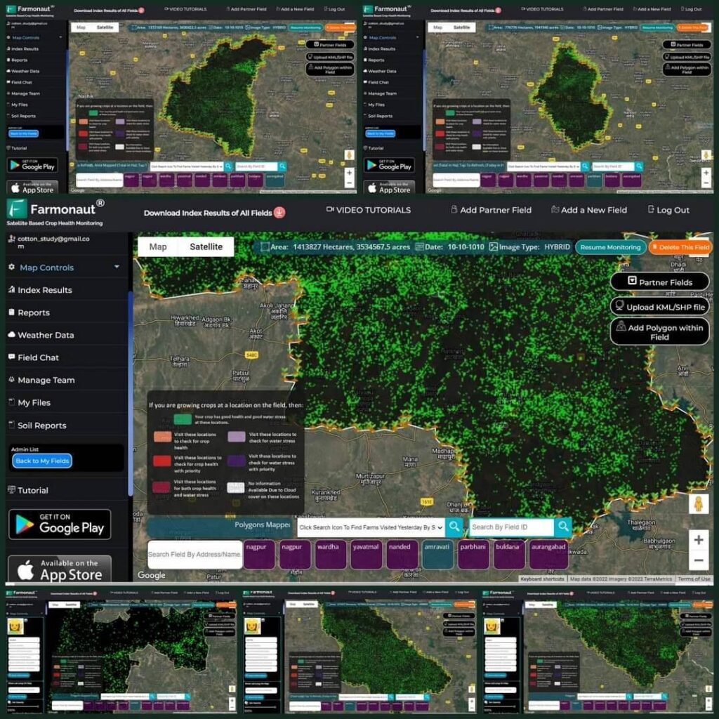
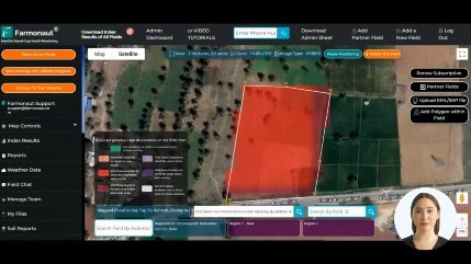
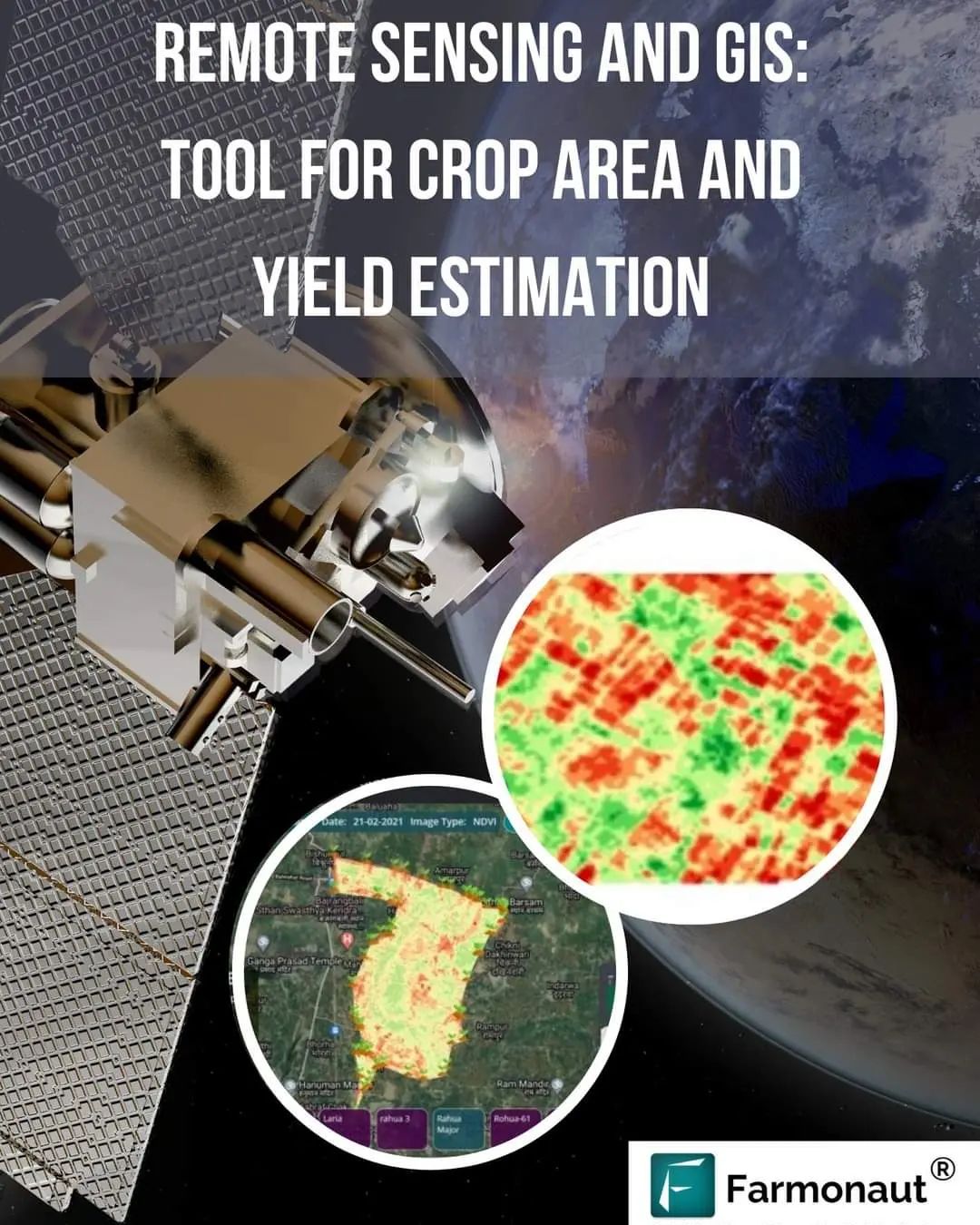
We utilize high-resolution satellite imagery to monitor vast agricultural areas efficiently. Our system processes multispectral images to extract valuable information about:
- Crop health and vigor
- Vegetation indices (e.g., NDVI)
- Soil moisture levels
- Crop growth stages
This satellite-based approach allows us to cover large areas quickly and cost-effectively, providing a comprehensive view of the agricultural landscape.
2. Advanced Machine Learning Algorithms
Our proprietary machine learning algorithms analyze the satellite data to:
- Identify and classify different crop types
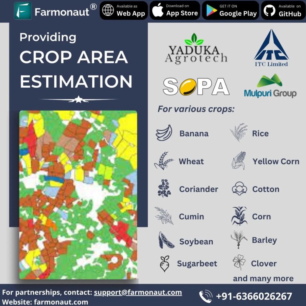
- Estimate cropped area with high accuracy
- Predict crop yields based on historical data and current conditions
- Detect anomalies and potential issues affecting crop health
These algorithms continuously learn and improve, ensuring increasingly accurate estimations over time.
3. Integration of Ground-Truth Data
To enhance the accuracy of our estimations, we integrate ground-truth data collected through:
- Field surveys
- Farmer reports
- Weather station data
- Historical yield records
This integration helps calibrate our models and validate our satellite-based estimations.
4. Real-Time Monitoring and Alerts
Our system provides real-time monitoring capabilities, allowing stakeholders to track crop development throughout the growing season. We also offer automated alerts for:
- Potential pest or disease outbreaks
- Unusual weather patterns affecting crop growth
- Significant deviations from expected yield projections
These alerts enable timely interventions to mitigate risks and optimize crop management strategies.
The Farmonaut Advantage: Satellite vs. Drone and IoT-Based Monitoring
While drone and IoT-based solutions have their merits, Farmonaut’s satellite-based system offers several distinct advantages:
| Feature | Farmonaut Satellite System | Drone-Based Monitoring | IoT-Based Monitoring |
|---|---|---|---|
| Coverage Area | Vast (regional to national scale) | Limited (local scale) | Very limited (field scale) |
| Data Collection Frequency | Regular (every few days) | On-demand (requires manual flights) | Continuous (but limited to sensor locations) |
| Cost-Effectiveness | High (economies of scale) | Moderate (equipment and operation costs) | Low (high initial investment) |
| Ease of Deployment | Immediate (no on-site setup required) | Moderate (requires trained operators) | Complex (requires physical installation) |
| Data Consistency | High (standardized data collection) | Moderate (can vary with flight conditions) | High (but limited to sensor locations) |
| Regulatory Compliance | Simple (no airspace restrictions) | Complex (subject to aviation regulations) | Moderate (may require permissions) |
Applications of Farmonaut’s Crop Area and Yield Estimation Technology
Our advanced crop area and yield estimation technology finds applications across various domains:
1. Government and Policy Making
Government agencies use our estimations to:
- Formulate agricultural policies
- Plan subsidies and support programs
- Manage food security initiatives
- Assess the impact of climate change on agriculture
2. Agribusiness and Supply Chain Management
Agribusinesses leverage our data to:
- Optimize procurement strategies
- Plan storage and distribution
- Manage price fluctuations
- Ensure supply chain efficiency
3. Financial Services and Insurance
Banks and insurance companies utilize our estimations for:
- Crop loan assessment
- Risk evaluation for agricultural insurance
- Claims verification
- Portfolio management in agri-finance
4. Research and Development
Agricultural researchers benefit from our data for:
- Studying crop patterns and trends
- Assessing the impact of new farming techniques
- Evaluating crop varieties and their performance
- Conducting large-scale agricultural experiments
Case Study: Soybean Yield Estimation
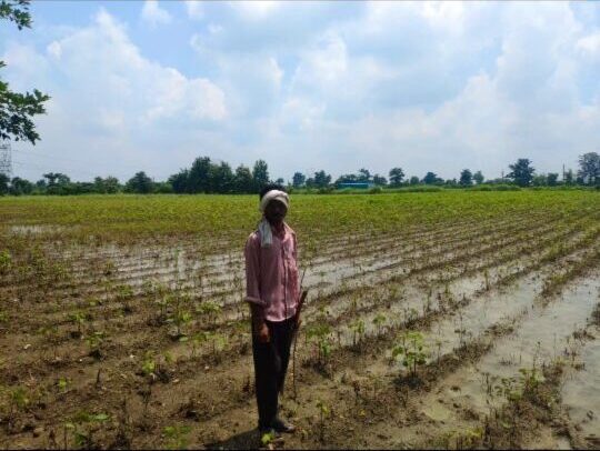
To illustrate the effectiveness of our technology, let’s look at a case study focusing on soybean yield estimation:
The Challenge
Accurate soybean yield estimation is crucial for farmers, traders, and policymakers. Traditional methods often fall short due to:
- Limited sampling capabilities
- Time-consuming and labor-intensive processes
- Inability to account for spatial variability
Farmonaut’s Solution
We developed a specialized soybean yield estimator that combines:
- High-resolution satellite imagery
- Advanced machine learning algorithms
- Historical yield data
- Local weather information
The Process
- Data Collection: Our satellites capture multispectral images of soybean fields throughout the growing season.
- Vegetation Analysis: We calculate vegetation indices (e.g., NDVI) to assess crop health and biomass.
- Growth Stage Identification: Our AI algorithms determine the growth stages of soybean plants.
- Yield Modeling: We integrate historical yield data, weather information, and current crop conditions into our yield prediction model.
- Continuous Refinement: As the season progresses, we refine our yield estimates based on new data and changing conditions.
The Results
Our soybean yield estimator has demonstrated:
- Accuracy rates of up to 95% compared to actual harvested yields
- The ability to provide yield estimates 4-6 weeks before harvest
- Spatial resolution down to the field level, allowing for precision agriculture applications
- Cost savings of up to 60% compared to traditional yield estimation methods
The Future of Crop Area and Yield Estimation with Farmonaut
As we continue to innovate and refine our technologies, we’re excited about the future possibilities in crop area and yield estimation:
1. Integration of Hyperspectral Imaging
We’re exploring the use of hyperspectral satellite sensors to provide even more detailed crop information, enabling:
- Early detection of crop stress and diseases
- More accurate crop type classification
- Enhanced yield prediction capabilities
2. Advanced AI and Deep Learning
Our ongoing research in AI and deep learning aims to:
- Improve the accuracy of crop area delineation
- Enhance yield prediction models for a wider range of crops
- Develop more sophisticated anomaly detection algorithms
3. Climate Change Adaptation
We’re developing models that account for changing climate patterns to:
- Predict the impact of climate change on crop yields
- Assist farmers in adapting their practices to new environmental conditions
- Support policymakers in developing climate-resilient agricultural strategies
4. Integration with IoT and Blockchain
While our satellite-based system offers numerous advantages, we’re exploring ways to integrate complementary technologies:
- Incorporating IoT sensor data for enhanced ground-truth validation
- Leveraging blockchain for secure and transparent data sharing
- Developing hybrid monitoring systems that combine the strengths of satellite, drone, and IoT technologies
How to Get Started with Farmonaut
Ready to experience the power of Farmonaut’s crop area and yield estimation technology? Here’s how you can get started:
- Web Platform: Visit our web application at https://farmonaut.com/app_redirect to access our full suite of tools and services.
- Mobile Apps: Download our mobile apps for on-the-go access:
- Android: Google Play Store
- iOS: App Store
- API Access: For developers and businesses looking to integrate our data into their systems, check out our API documentation at https://farmonaut.com/farmonaut-satellite-weather-api-developer-docs/
- Custom Solutions: Contact our team for tailored solutions to meet your specific crop area and yield estimation needs.
Frequently Asked Questions (FAQ)
Q1: How accurate are Farmonaut’s crop area and yield estimations?
A1: Our estimations typically achieve accuracy rates of 90-95% compared to ground-truth data. However, accuracy can vary depending on factors such as crop type, field size, and available historical data.
Q2: How often are crop area and yield estimates updated?
A2: We provide regular updates throughout the growing season, typically every 5-7 days, depending on satellite pass frequency and cloud cover conditions.
Q3: Can Farmonaut’s technology be used for all crop types?
A3: While our technology is highly adaptable, we have specialized models for major crops such as wheat, rice, corn, and soybeans. We’re continuously expanding our capabilities to cover a wider range of crops.
Q4: How does Farmonaut’s satellite-based system compare to drone surveys?
A4: Our satellite-based system offers wider coverage, more frequent updates, and greater cost-effectiveness compared to drone surveys. However, drones can provide higher resolution imagery for smaller areas when needed.
Q5: Is Farmonaut’s technology suitable for small-scale farmers?
A5: Yes, we offer solutions tailored for farmers of all scales. Our mobile app provides accessible insights for small-scale farmers, while our more advanced tools cater to larger operations and agribusinesses.
Q6: How does Farmonaut handle data privacy and security?
A6: We take data privacy and security very seriously. All user data is encrypted and stored securely. We adhere to strict data protection regulations and never share individual farm data without explicit consent.
Q7: Can Farmonaut’s estimations be used for insurance purposes?
A7: Yes, many insurance companies use our crop area and yield estimations for risk assessment and claims verification. Our data provides an objective and reliable basis for agricultural insurance products.
Q8: How does Farmonaut account for extreme weather events in its yield predictions?
A8: Our models incorporate real-time weather data and historical weather patterns. We can quickly adjust our predictions in response to extreme events and provide alerts to users about potential impacts on crop yields.
Q9: Is training required to use Farmonaut’s crop estimation tools?
A9: While our tools are designed to be user-friendly, we offer comprehensive training and support to ensure users can maximize the benefits of our technology. This includes video tutorials, user guides, and direct support from our team.
Q10: Can Farmonaut’s technology be integrated with other farm management systems?
A10: Yes, we offer API access and integration capabilities to allow seamless data flow between Farmonaut and other farm management platforms. This enables a more comprehensive approach to precision agriculture and farm planning.
Conclusion
At Farmonaut, we’re committed to revolutionizing crop area and yield estimation through the power of remote sensing, precision agriculture, and advanced agritech solutions. Our satellite-based technology offers unparalleled accuracy, coverage, and cost-effectiveness, empowering farmers, policymakers, and agricultural stakeholders with the insights they need to make informed decisions.
As we continue to innovate and expand our capabilities, we invite you to join us in shaping the future of agriculture. Whether you’re a small-scale farmer looking to optimize your yields, a large agribusiness seeking comprehensive crop monitoring solutions, or a government agency tasked with ensuring food security, Farmonaut has the tools and expertise to support your goals.
Ready to experience the power of Farmonaut’s crop area and yield estimation technology? Get started today and unlock the potential of your agricultural operations!


