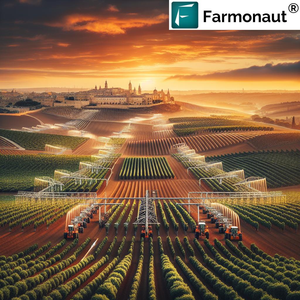
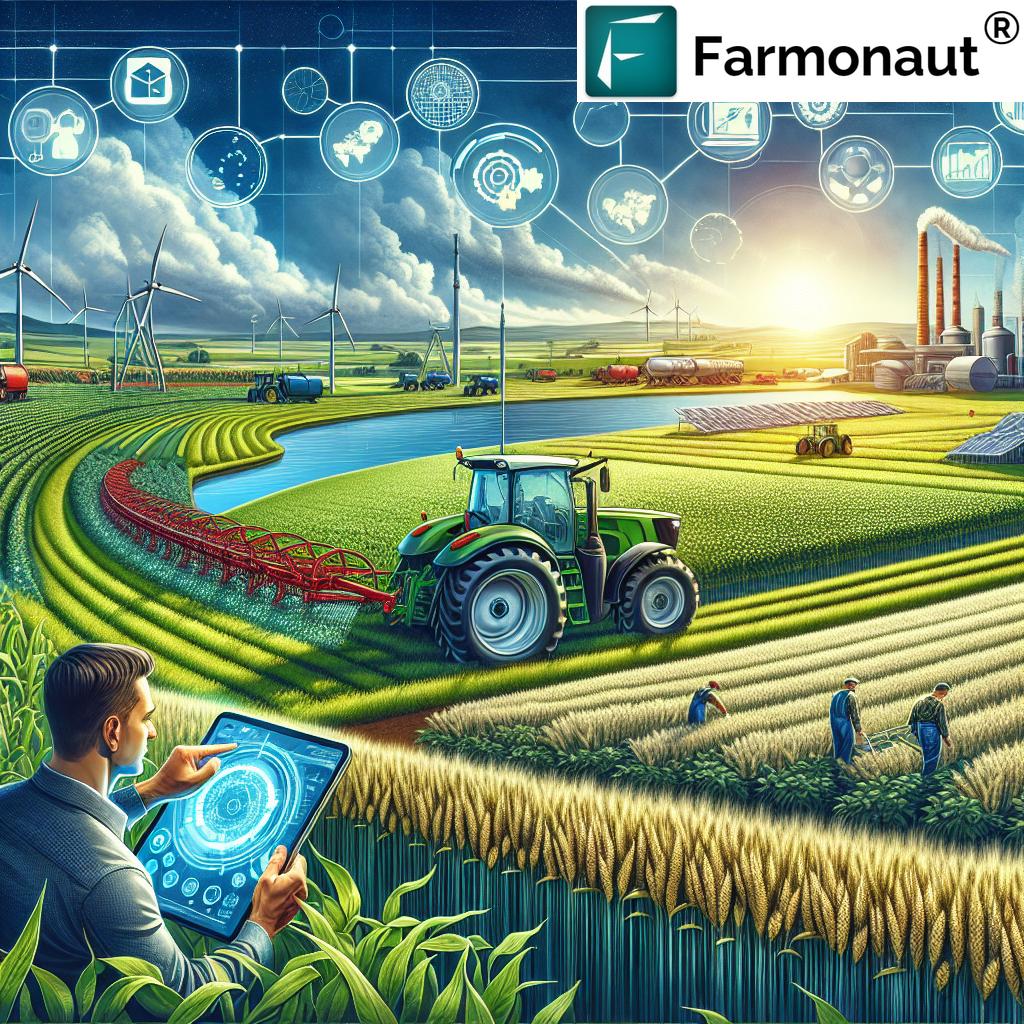
Revolutionizing European Agriculture: How GIS and Remote Sensing Drive Sustainable Farming Practices
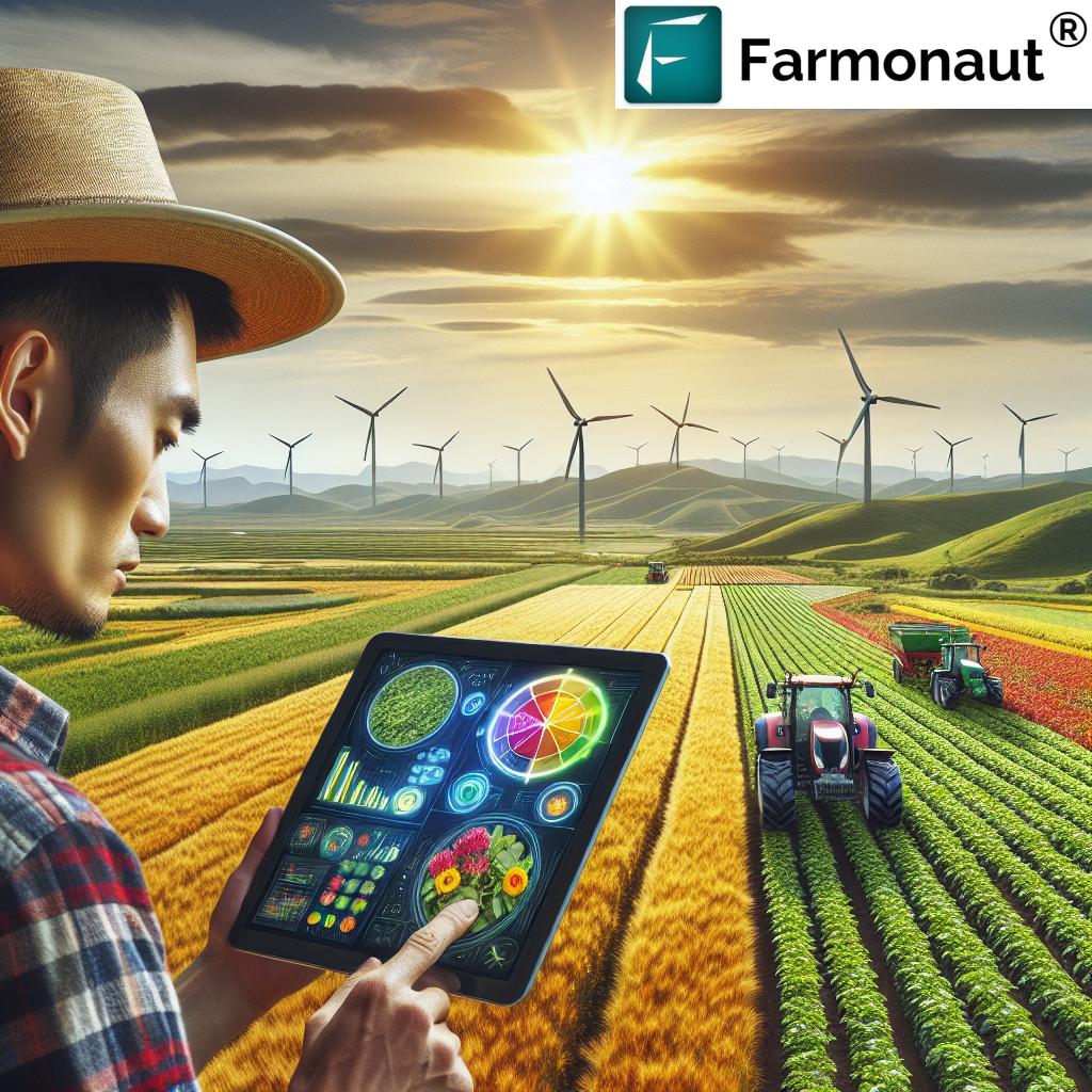
“The EU’s Green Deal aims to reduce greenhouse gas emissions by at least 55% by 2030 in the agricultural sector.”
In the ever-evolving landscape of European agriculture, we find ourselves at the cusp of a technological revolution. As we navigate the challenges of climate change, resource scarcity, and growing food demand, the integration of Geographic Information Systems (GIS) and remote sensing technologies is proving to be a game-changer. At Farmonaut, we’re committed to driving this change, making precision agriculture accessible and affordable for farmers across Europe.
In this comprehensive analysis, we’ll explore how these cutting-edge technologies are reshaping the future of sustainable agriculture in Europe. From the impact of the Green Deal on farming practices to the role of precision agriculture GIS in boosting crop production, we’ll delve into the innovations that are defining the future of European farming.
The European Agricultural Landscape: Challenges and Opportunities
European agriculture faces a unique set of challenges in the 21st century. Climate change, biodiversity loss, and the need for sustainable intensification are pressing issues that require innovative solutions. Let’s explore these challenges and the opportunities they present for technological innovation in farming.
- Climate Change Impact: Shifting weather patterns, extreme events, and changing growing seasons are affecting crop yields and farming practices.
- Resource Scarcity: The need for efficient water and land use is more critical than ever.
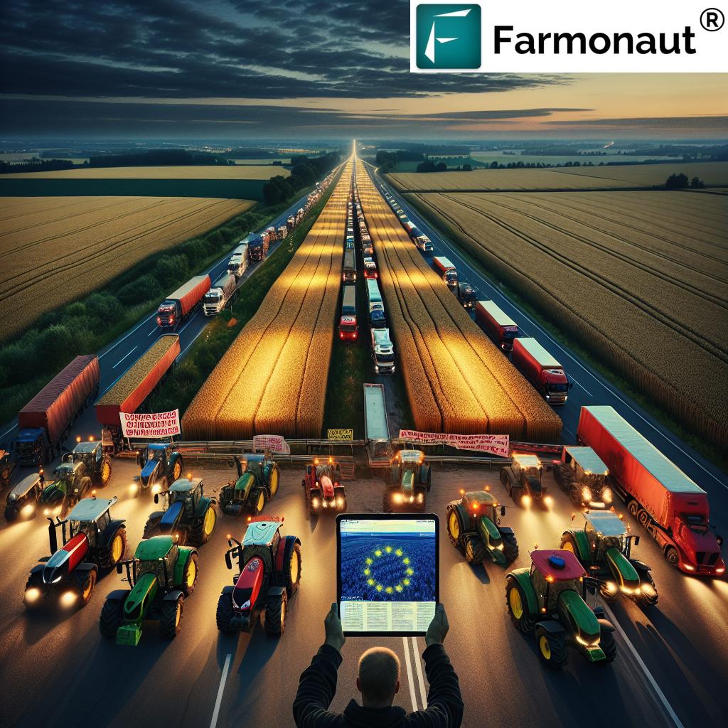
- Policy Pressures: The EU’s Green Deal and Common Agricultural Policy (CAP) are driving a shift towards more sustainable practices.
- Market Demands: Consumers are increasingly seeking sustainably produced food, pushing for transparency in the supply chain.
These challenges, while daunting, have opened doors for technological innovation in agriculture. GIS and remote sensing technologies, in particular, are at the forefront of this agricultural revolution.
GIS and Remote Sensing: The Pillars of Precision Agriculture
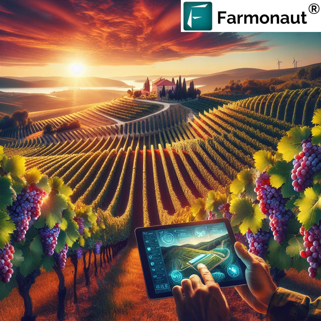
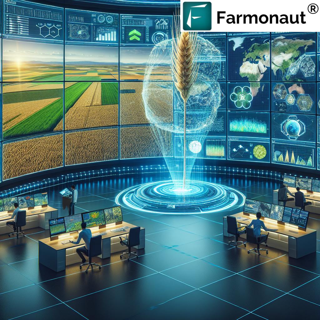
Geographic Information Systems (GIS) and remote sensing technologies are transforming the way we approach farming in Europe. These tools provide farmers with unprecedented insights into their land and crops, enabling data-driven decision-making and more efficient resource management.
The Power of GIS in Agriculture
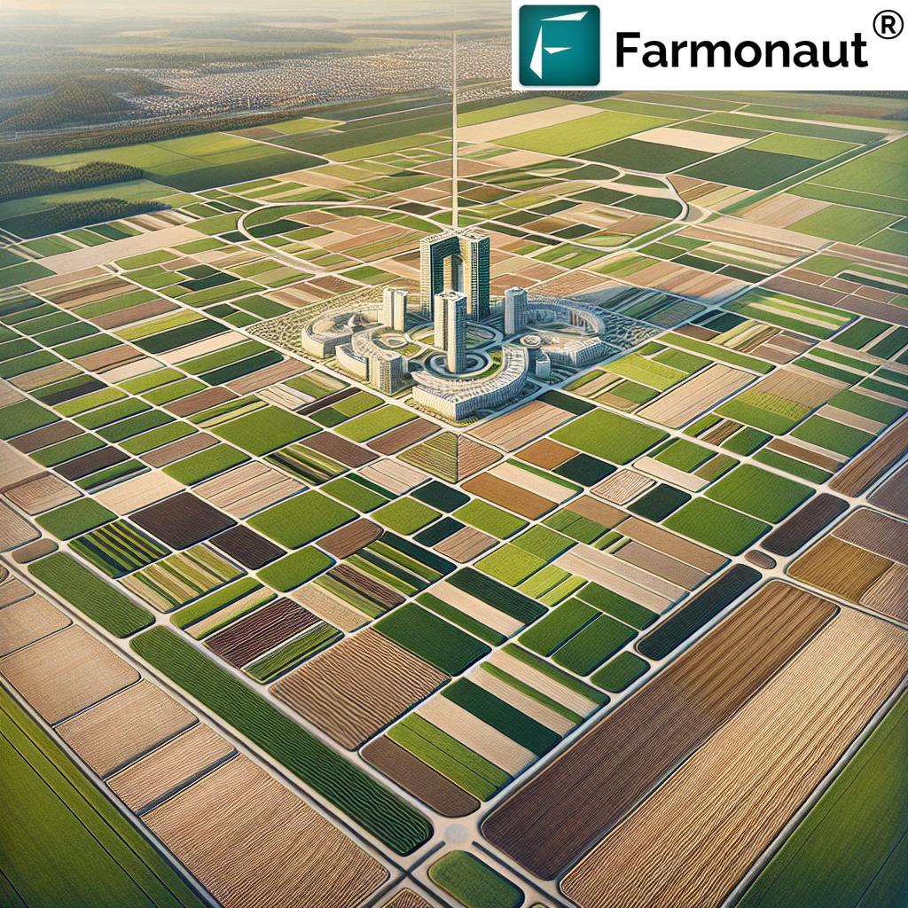
GIS technology allows farmers to create detailed, layered maps of their fields, integrating various data points such as soil type, topography, and crop health. This spatial analysis enables:
- Precise field mapping and planning
- Optimization of planting patterns
- Efficient route planning for machinery
- Targeted application of inputs like fertilizers and pesticides
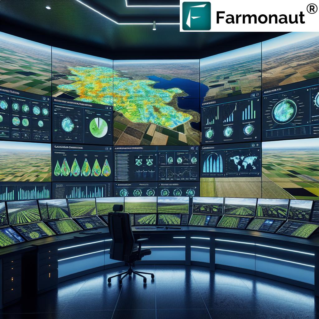
At Farmonaut, we’ve integrated GIS capabilities into our platform, allowing farmers to visualize and analyze their fields with unprecedented detail. This technology is not just for large-scale operations; we’ve made it accessible to farms of all sizes across Europe.
Remote Sensing: Eyes in the Sky for Farmers
Remote sensing, primarily through satellite imagery, provides a bird’s-eye view of agricultural lands. This technology offers:
- Real-time crop health monitoring
- Early detection of pest infestations and diseases
- Accurate yield predictions
- Assessment of soil moisture levels
Our satellite-based crop health monitoring system at Farmonaut leverages multispectral imagery to provide farmers with crucial data on vegetation health (NDVI), soil moisture, and other vital metrics. This information helps in making informed decisions about irrigation, fertilizer usage, and pest management, ultimately optimizing crop yields and reducing resource wastage.
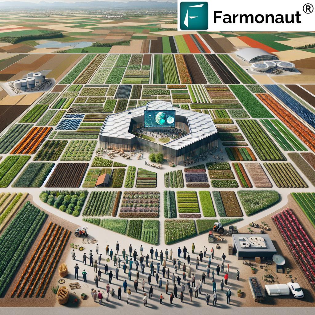
The Green Deal and Its Impact on European Agriculture
The European Union’s Green Deal is a comprehensive set of policy initiatives aimed at making Europe climate neutral by 2050. This ambitious plan has significant implications for the agricultural sector, which is both a contributor to and a victim of climate change.
Key Objectives of the Green Deal for Agriculture:
- Reduce the use of chemical pesticides by 50% by 2030
- Decrease fertilizer use by at least 20% by 2030
- Achieve 25% of agricultural land under organic farming by 2030
- Reduce nutrient losses by at least 50%
These targets present both challenges and opportunities for European farmers. The transition to more sustainable practices requires significant changes in farming methods, but it also opens up new avenues for innovation and efficiency.
How GIS and Remote Sensing Support Green Deal Objectives
The integration of GIS and remote sensing technologies is crucial in achieving the Green Deal’s agricultural objectives:
- Precision Application of Inputs: GIS-guided precision agriculture allows for targeted application of fertilizers and pesticides, reducing overall usage while maintaining crop health.
- Monitoring Organic Farming Practices: Remote sensing can help verify and monitor organic farming practices across large areas, supporting the shift towards more organic production.
- Nutrient Management: Advanced soil mapping and crop health monitoring through remote sensing enable better nutrient management, reducing losses and improving efficiency.
- Biodiversity Enhancement: GIS tools can help in planning and monitoring biodiversity corridors and habitats within agricultural landscapes.
At Farmonaut, we’re committed to supporting European farmers in meeting these Green Deal objectives. Our AI-driven advisory system, Jeevn AI, provides personalized recommendations that align with sustainable farming practices, helping farmers reduce their environmental impact while maintaining productivity.
The Common Agricultural Policy (CAP) and Sustainable Farming
The Common Agricultural Policy (CAP) is a cornerstone of European agricultural policy, and its recent reforms have placed a stronger emphasis on sustainability and environmental protection. The new CAP, which came into effect in 2023, introduces several measures that align with the Green Deal objectives and promote the adoption of precision agriculture technologies.
Key Features of the New CAP:
- Eco-schemes: Voluntary programs that reward farmers for implementing environmentally friendly practices.
- Enhanced Conditionality: Stricter environmental and climate requirements for receiving CAP payments.
- Ring-fenced Funding: At least 25% of direct payments are reserved for eco-schemes.
- Innovation Support: Increased funding for research and innovation in sustainable farming practices.
These policy changes create a favorable environment for the adoption of GIS and remote sensing technologies in European agriculture. Farmers who implement these precision agriculture tools are better positioned to meet CAP requirements and benefit from eco-scheme payments.
How Farmonaut Supports CAP Compliance
Our platform at Farmonaut is designed to help farmers navigate the complexities of CAP compliance:
- Documentation and Reporting: Our GIS-based tools facilitate accurate record-keeping and reporting of farming practices, essential for CAP compliance.
- Eco-scheme Eligibility: By providing detailed insights into farming practices, our platform helps farmers identify and implement measures that qualify for eco-scheme payments.
- Resource Optimization: Our precision agriculture tools support efficient use of inputs, aligning with CAP’s environmental objectives.
- Biodiversity Monitoring: Remote sensing capabilities can help track and report on biodiversity measures implemented on farms.
By leveraging these technologies, European farmers can not only comply with CAP requirements but also enhance their farm’s productivity and sustainability.
“Precision agriculture GIS can increase crop yields by up to 20% while reducing water usage by 30%.”
Crop Production and Precision Agriculture GIS
Precision agriculture, powered by GIS and remote sensing, is revolutionizing crop production across Europe. This approach allows for site-specific management of fields, taking into account the variability within each plot of land.
Key Applications of Precision Agriculture GIS in Crop Production:
- Variable Rate Application: Tailoring the application of seeds, fertilizers, and pesticides based on field variability.
- Yield Mapping: Creating detailed maps of crop yields to identify high and low-performing areas within fields.
- Soil Sampling and Mapping: Developing precise soil nutrient maps to guide fertilization strategies.
- Crop Health Monitoring: Using satellite and drone imagery to assess crop health and detect issues early.
At Farmonaut, we’ve developed tools that make these precision agriculture techniques accessible to farmers of all scales. Our satellite-based crop health monitoring system provides real-time insights into vegetation health, allowing for timely interventions and optimized resource use.
Case Study: Precision Agriculture in European Wheat Production
Wheat is one of Europe’s most important crops, and precision agriculture is playing a crucial role in improving its production. Here’s how GIS and remote sensing are making a difference:
- Nitrogen Management: Variable rate application of nitrogen based on crop needs, reducing overall fertilizer use while maintaining yields.
- Disease Detection: Early identification of fungal diseases through multispectral imaging, allowing for targeted treatment.
- Water Management: Precision irrigation based on soil moisture maps, improving water use efficiency.
- Harvest Optimization: Using yield prediction models to optimize harvest timing and logistics.
These precision agriculture techniques have led to significant improvements in wheat production efficiency across Europe, with some farmers reporting yield increases of up to 15% while reducing input costs.
Agricultural Cooperatives and Collaborative Farming
Agricultural cooperatives have long been a cornerstone of European farming, and they’re playing an increasingly important role in the adoption of sustainable practices and precision agriculture technologies. These cooperatives provide a platform for knowledge sharing, resource pooling, and collective investment in advanced technologies.
Benefits of Cooperative Approach in Modern Agriculture:
- Shared Investment: Cooperatives can invest in expensive GIS and remote sensing technologies that might be out of reach for individual farmers.
- Knowledge Exchange: Members can share experiences and best practices in implementing precision agriculture techniques.
- Collective Data Analysis: Pooling data from multiple farms allows for more comprehensive insights and benchmarking.
- Stronger Market Position: Cooperatives can leverage their collective size to negotiate better terms for sustainable produce.
At Farmonaut, we recognize the power of collaboration in agriculture. Our platform is designed to support cooperative farming efforts, allowing for data sharing and collective analysis while maintaining individual farm privacy.
Climate Change Impact and Cooperative Responses
Agricultural cooperatives are at the forefront of addressing climate change impacts on farming. Here’s how they’re leveraging GIS and remote sensing technologies:
- Climate Risk Assessment: Using historical and real-time data to assess climate-related risks for member farms.
- Adaptive Strategies: Developing and implementing collective strategies to adapt to changing climate conditions.
- Carbon Sequestration Projects: Coordinating large-scale soil carbon sequestration efforts across member farms.
- Resilience Planning: Using GIS to plan for and mitigate the impacts of extreme weather events.
By working together and leveraging advanced technologies, agricultural cooperatives are enhancing the resilience of European farming in the face of climate change.
Renewable Energy in Farming: A Sustainable Future
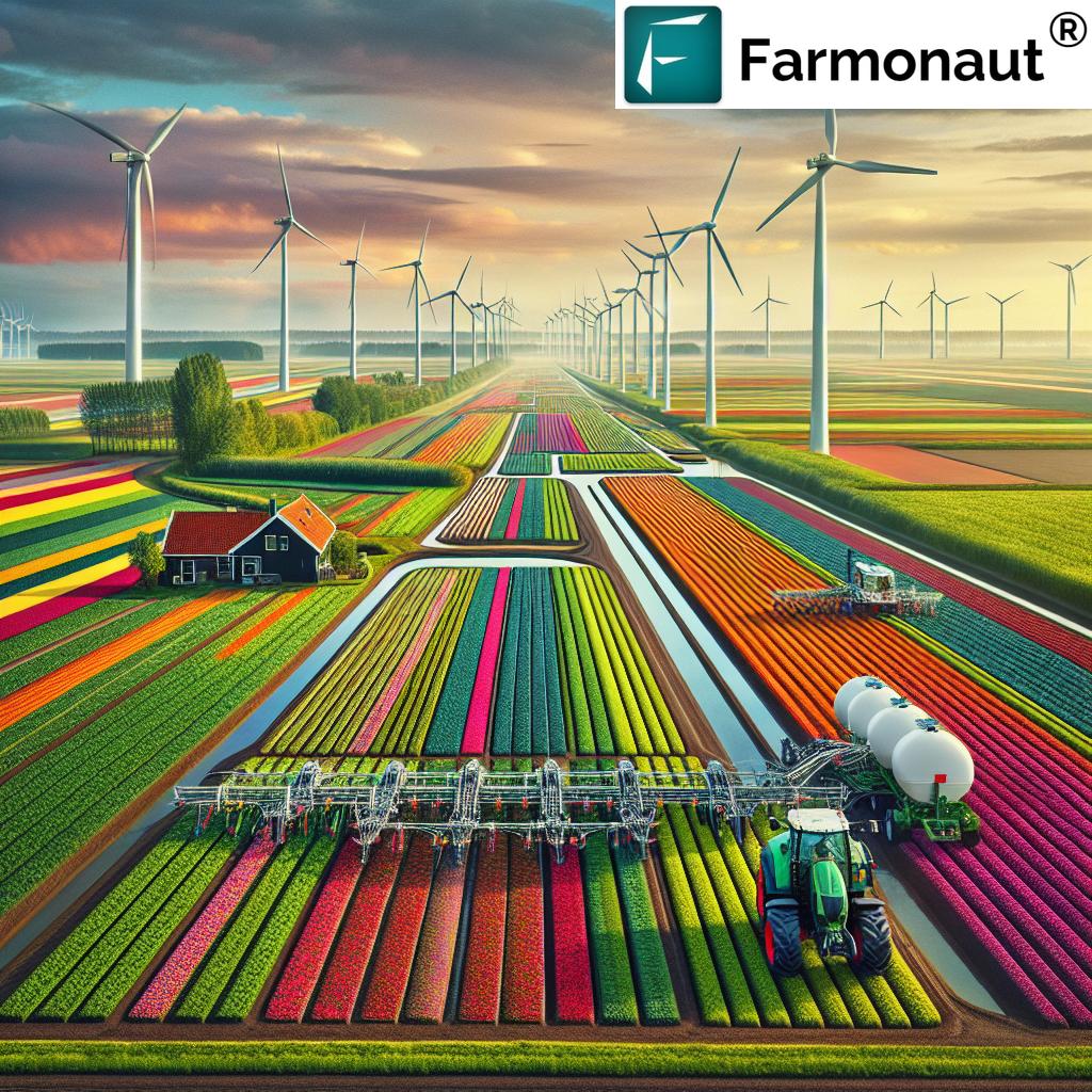
The integration of renewable energy sources in agriculture is a key component of sustainable farming practices in Europe. This shift not only reduces the carbon footprint of farming operations but also provides new income streams for farmers.
Key Renewable Energy Technologies in Agriculture:
- Solar Photovoltaics: Installation of solar panels on farm buildings or in field margins.
- Wind Energy: Small-scale wind turbines for on-farm electricity generation.
- Biomass Energy: Utilizing agricultural waste for energy production.
- Anaerobic Digestion: Converting organic waste into biogas for energy and heat.
At Farmonaut, we’re supporting this transition by providing tools to assess the potential for renewable energy integration on farms. Our GIS-based analysis can help identify optimal locations for solar installations or wind turbines, taking into account factors like land use, solar radiation, and wind patterns.
The Role of GIS in Renewable Energy Planning
GIS technology plays a crucial role in planning and implementing renewable energy projects on farms:
- Site Selection: Identifying the best locations for renewable energy installations based on multiple criteria.
- Resource Assessment: Evaluating solar, wind, or biomass potential across different areas of a farm.
- Impact Analysis: Assessing the potential impact of renewable energy installations on crop production and farm operations.
- Grid Integration Planning: Optimizing the connection of on-farm energy systems to the wider grid.
By integrating renewable energy into their operations, European farmers are not only reducing their environmental impact but also enhancing their energy independence and economic resilience.
The Future of European Agriculture: Trends and Innovations
As we look to the future of European agriculture, several key trends and innovations are shaping the landscape. These developments promise to further enhance sustainability, productivity, and resilience in the face of ongoing challenges.
Emerging Trends in European Agriculture:
- Artificial Intelligence and Machine Learning: Advanced AI algorithms for crop prediction, pest detection, and farm management optimization.
- Internet of Things (IoT) in Agriculture: Widespread adoption of connected sensors for real-time monitoring of crops, soil, and farm equipment.
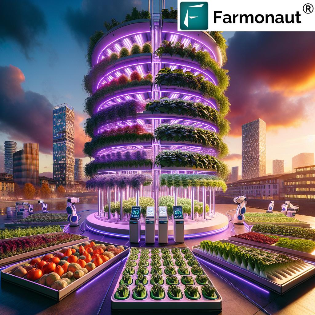
- Vertical Farming: Expansion of controlled environment agriculture, particularly in urban and peri-urban areas.
- Regenerative Agriculture: Growing focus on practices that enhance soil health and biodiversity.
- Blockchain in Agriculture: Increased use of blockchain technology for supply chain transparency and traceability.
At Farmonaut, we’re at the forefront of these innovations. Our Jeevn AI advisory system, for instance, leverages artificial intelligence to provide personalized farm management recommendations, while our blockchain-based traceability solutions are enhancing transparency in agricultural supply chains.
The Role of Policy and Research
The future of European agriculture will be significantly influenced by policy decisions and research initiatives:
- Horizon Europe: The EU’s key funding program for research and innovation, with a strong focus on sustainable agriculture.
- Farm to Fork Strategy: The EU’s plan to make food systems fair, healthy, and environmentally friendly.
- Biodiversity Strategy 2030: Aims to put Europe’s biodiversity on the path to recovery by 2030, with implications for agricultural practices.
- Digital Europe Programme: Supporting the digital transformation of European agriculture.
These initiatives are creating a supportive environment for the continued development and adoption of sustainable and innovative farming practices across Europe.
Conclusion: A Sustainable Path Forward
As we’ve explored throughout this analysis, the integration of GIS and remote sensing technologies is revolutionizing European agriculture. These tools are enabling farmers to meet the dual challenges of increasing productivity while enhancing sustainability. From precision agriculture techniques that optimize resource use to renewable energy integration that reduces carbon footprints, the future of European farming is becoming increasingly data-driven and environmentally conscious.
At Farmonaut, we’re committed to being a part of this agricultural revolution. Our platform provides farmers with the tools they need to leverage these technologies, making precision agriculture accessible and affordable. As we look to the future, we see a European agricultural sector that is more resilient, productive, and sustainable, powered by innovation and guided by a commitment to environmental stewardship.
The path forward for European agriculture is one of continuous innovation and adaptation. By embracing technologies like GIS and remote sensing, and by working collaboratively through cooperatives and knowledge-sharing networks, European farmers are well-positioned to meet the challenges of the 21st century and beyond. Together, we can create a sustainable and prosperous future for European agriculture.
European Agricultural Sustainability Metrics
| Metric | France | Germany | Spain | Italy |
|---|---|---|---|---|
| Precision Agriculture Adoption Rate (%) | 35 | 40 | 30 | 25 |
| GIS-Enabled Farmland (hectares) | 5,000,000 | 6,000,000 | 3,500,000 | 2,800,000 |
| Renewable Energy in Agriculture (% of total farm energy use) | 15 | 20 | 18 | 12 |
| Water Conservation through Smart Irrigation (% reduction) | 25 | 30 | 35 | 20 |
| Crop Yield Increase via Remote Sensing (%) | 12 | 15 | 10 | 8 |
| Carbon Footprint Reduction (tons CO2e/year) | 500,000 | 600,000 | 400,000 | 350,000 |
| CAP Funding Allocation for Sustainable Practices (€ millions) | 1,200 | 1,500 | 900 | 800 |
FAQ Section
Q1: How does GIS technology improve farming practices?
A1: GIS technology improves farming practices by enabling precise field mapping, optimizing planting patterns, facilitating efficient route planning for machinery, and allowing for targeted application of inputs like fertilizers and pesticides. This leads to increased efficiency, reduced waste, and improved crop yields.
Q2: What are the main benefits of remote sensing in agriculture?
A2: The main benefits of remote sensing in agriculture include real-time crop health monitoring, early detection of pest infestations and diseases, accurate yield predictions, and assessment of soil moisture levels. These insights allow farmers to make data-driven decisions and respond quickly to potential issues.
Q3: How does the EU’s Green Deal impact European farmers?
A3: The EU’s Green Deal sets ambitious targets for reducing pesticide and fertilizer use, increasing organic farming, and reducing nutrient losses. While these targets present challenges, they also create opportunities for innovation in sustainable farming practices and the adoption of precision agriculture technologies.
Q4: What role do agricultural cooperatives play in adopting new technologies?
A4: Agricultural cooperatives play a crucial role in adopting new technologies by facilitating shared investments in expensive equipment, promoting knowledge exchange among members, enabling collective data analysis, and strengthening market positions for sustainable produce.
Q5: How is renewable energy being integrated into European farming?
A5: Renewable energy is being integrated into European farming through the installation of solar panels on farm buildings, small-scale wind turbines, biomass energy production from agricultural waste, and anaerobic digestion for biogas production. These initiatives reduce carbon footprints and provide additional income streams for farmers.
Explore Farmonaut’s innovative solutions for sustainable agriculture:
Access our API for advanced agricultural data: Farmonaut API
For developers, check out our comprehensive documentation: API Developer Docs


