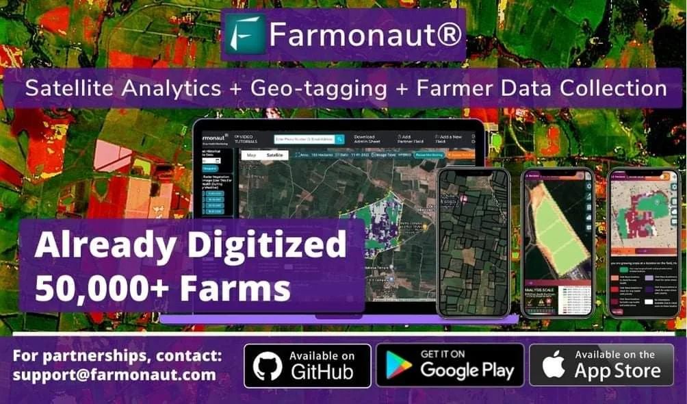
Revolutionizing Agriculture: How Farmonaut® is Empowering Farmers with Cutting-Edge Technology
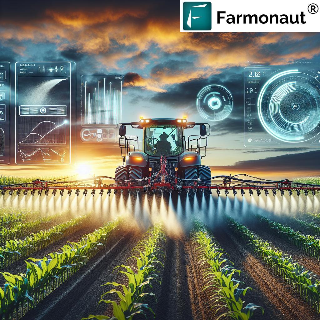
In today’s rapidly evolving agricultural landscape, technology is playing an increasingly crucial role in helping farmers maximize their yields, reduce costs, and adopt sustainable practices. At Farmonaut®, we’re proud to be at the forefront of this agricultural revolution, offering a comprehensive suite of tools that combine satellite technology, artificial intelligence (AI), and blockchain to meet the diverse needs of modern agriculture.
In this blog post, we’ll explore how Farmonaut® is transforming farming practices and empowering farmers worldwide. We’ll delve into the various features of our platform, discuss its benefits, and explain why it’s becoming an essential tool for farmers, agronomists, and agricultural businesses alike.
The Farmonaut® Advantage: A Comprehensive Overview
Farmonaut® is more than just a farm management app – it’s a complete ecosystem designed to support farmers at every stage of their agricultural journey. Let’s take a closer look at some of the key features that make Farmonaut® stand out:
1. Satellite-Based Crop Monitoring
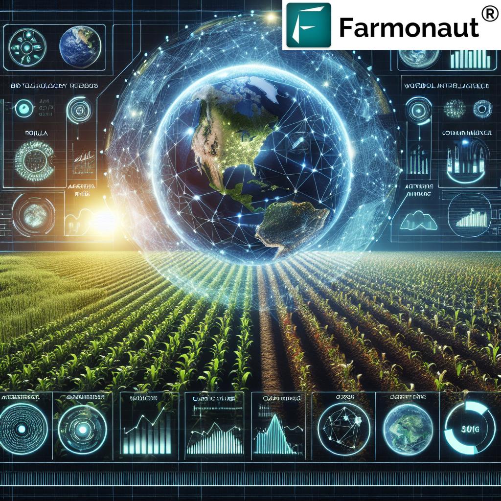
One of the cornerstones of Farmonaut®’s technology is our advanced satellite-based crop monitoring system. This feature allows farmers to keep a close eye on their fields without ever having to leave their homes or offices.
How it works:
- We utilize high-resolution satellite imagery to capture detailed views of your fields.
- Our AI algorithms analyze these images to detect various aspects of crop health and field conditions.
- The results are presented to you in an easy-to-understand format through our user-friendly interface.
Benefits:
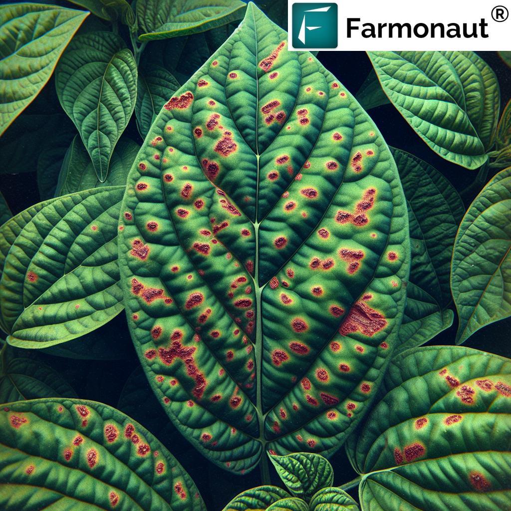
- Early detection of crop stress, pest infestations, or diseases
- Ability to monitor large areas efficiently
- Reduced need for manual field scouting
- Historical data for year-on-year comparisons
2. Automated Crop Monitoring
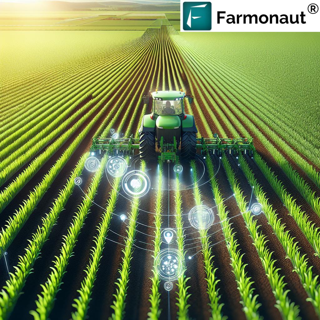
Building on our satellite-based monitoring, Farmonaut® takes things a step further with our automated crop monitoring system. This feature leverages the power of AI and machine learning to provide continuous, real-time insights into your crops’ health and development.
Key aspects of automated crop monitoring:
- Regular, scheduled analysis of satellite imagery
- Automatic detection of anomalies or changes in crop health
- Instant alerts sent to farmers when issues are detected
- Customizable monitoring parameters based on crop type and growth stage
With automated crop monitoring, you can stay ahead of potential problems and take proactive measures to protect your yields.
3. Crop Health Status
Understanding the health of your crops is crucial for maximizing yields and minimizing losses. Farmonaut®’s crop health status feature provides detailed insights into the overall well-being of your plants.
What you can monitor:
- Vegetation indices (e.g., NDVI, EVI)
- Chlorophyll content
- Leaf area index
- Biomass estimates
By having access to this information, you can make informed decisions about irrigation, fertilization, and pest control, ensuring that your crops receive exactly what they need to thrive.
4. Vegetation Water Level
Water management is a critical aspect of successful farming, especially in regions facing water scarcity or unpredictable rainfall patterns. Farmonaut®’s vegetation water level feature helps you optimize your irrigation practices by providing insights into your crops’ water content.
Benefits of monitoring vegetation water levels:
- Prevent over-irrigation and water waste
- Identify areas of your field that may be under water stress
- Optimize irrigation schedules based on actual crop needs
- Improve water use efficiency and reduce costs
5. Satellite Imagery Access for Research
For researchers, agronomists, and advanced users, Farmonaut® offers access to raw satellite imagery data. This feature opens up a world of possibilities for in-depth analysis and custom applications.
Potential uses of satellite imagery access:
- Conduct academic research on crop patterns and land use
- Develop custom algorithms for specific crop analysis
- Create detailed maps and visualizations of agricultural areas
- Monitor long-term changes in vegetation and land use
To learn more about accessing our satellite imagery for research purposes, please visit our API documentation.
Farmonaut® vs. Traditional Monitoring Methods
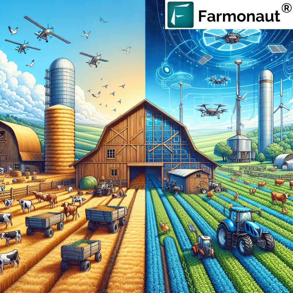
While drone and IoT-based farm monitoring systems have their merits, Farmonaut®’s satellite-based approach offers several distinct advantages. Here’s a comparison table to illustrate the benefits of our system:
| Feature | Farmonaut® Satellite System | Drone-based Monitoring | IoT-based Monitoring |
|---|---|---|---|
| Coverage Area | Large scale (hundreds to thousands of hectares) | Limited (typically less than 100 hectares per flight) | Depends on sensor placement (usually small to medium scale) |
| Initial Setup Cost | Low (subscription-based) | High (equipment purchase required) | Medium to High (sensors and network infrastructure needed) |
| Operational Complexity | Low (automated system) | High (requires trained operators) | Medium (regular maintenance of sensors required) |
| Data Frequency | Regular (based on satellite pass frequency) | On-demand (limited by flight regulations and weather) | Continuous (real-time data possible) |
| Weather Dependency | Low (can penetrate some cloud cover) | High (cannot fly in poor weather conditions) | Low (but sensors may be affected by extreme conditions) |
| Scalability | Highly scalable (no additional equipment needed) | Limited (scaling requires more drones and operators) | Moderate (additional sensors needed for expansion) |
Getting Started with Farmonaut®
Ready to revolutionize your farming practices with Farmonaut®? Getting started is easy:
- Download the Farmonaut® app from the Google Play Store or the Apple App Store.
- Create your account and set up your farm profile.
- Start exploring the various features and tools available on the platform.
- For advanced users or businesses interested in integrating Farmonaut® data into their own systems, check out our API documentation.
Frequently Asked Questions (FAQ)
Q: How accurate is Farmonaut®’s satellite-based crop monitoring?
A: Our satellite-based monitoring system boasts a high level of accuracy, typically within 90-95% for most crop health indicators. However, factors such as cloud cover and satellite revisit frequency can affect the precision of measurements.
Q: Can Farmonaut® be used for all types of crops?
A: Farmonaut® is designed to work with a wide variety of crops, including grains, fruits, vegetables, and cash crops. Our database contains information on over 100 different crop types, and we’re constantly expanding our coverage.
Q: How often is the satellite imagery updated?
A: The frequency of satellite imagery updates depends on the specific satellite constellation we’re using and your geographic location. Typically, you can expect updates every 3-5 days, but this may vary.
Q: Is an internet connection required to use Farmonaut®?
A: While an internet connection is required to receive real-time updates and access the full range of features, many core functions of the app can work offline. You can sync data when you’re back in an area with connectivity.
Q: How does Farmonaut® protect my farm data?
A: We take data security very seriously. All farm data is encrypted and stored securely in the cloud. We never share your personal or farm-specific data with third parties without your explicit consent.
Q: Can Farmonaut® integrate with other farm management software?
A: Yes, Farmonaut® offers API access that allows for integration with other farm management tools and software. For more information, please refer to our API documentation.
Conclusion
As we continue to face global challenges such as climate change, population growth, and resource scarcity, the need for smart, efficient, and sustainable farming practices has never been greater. At Farmonaut®, we’re committed to empowering farmers with the tools and knowledge they need to meet these challenges head-on.
By leveraging cutting-edge technologies like satellite imagery, AI, and blockchain, we’re making precision agriculture accessible and affordable for farmers of all sizes. From automated crop monitoring and health assessments to community forums and research-grade data access, Farmonaut® is your all-in-one solution for modern farm management.
Join the growing community of tech-savvy farmers who are using Farmonaut® to boost their yields, reduce costs, and farm more sustainably. Download the app today and experience the future of agriculture!
Ready to transform your farming practices? Download Farmonaut® now and join the agricultural revolution!


