Revolutionizing Agriculture: Advanced Crop Monitoring and Geospatial Intelligence for Sustainable Farm Management
In the ever-evolving landscape of modern agriculture, the integration of cutting-edge technologies has become paramount for sustainable and efficient farm management. At Farmonaut, we are at the forefront of this agricultural revolution, pioneering advanced solutions that combine satellite imagery, geospatial intelligence, and data analytics to transform the way farmers monitor their crops and manage their fields.
The Power of Geospatial Intelligence in Agriculture
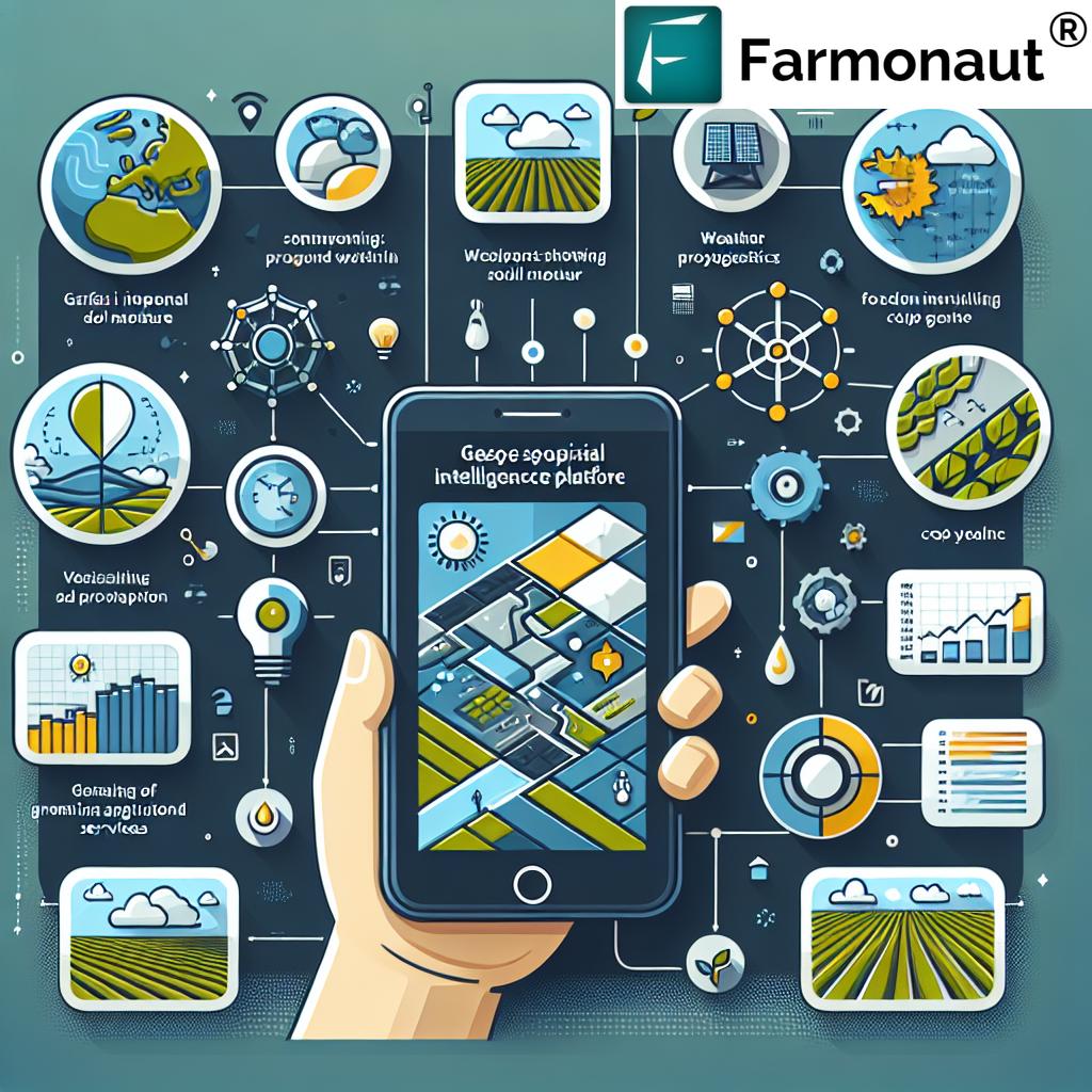
Geospatial intelligence has emerged as a game-changer in the agricultural sector, providing farmers with unprecedented insights into their land and crops. By leveraging satellite imagery and advanced analytics, we offer a comprehensive suite of services that enable farmers to make data-driven decisions and optimize their agricultural practices.
Crop Monitoring: A New Era of Precision
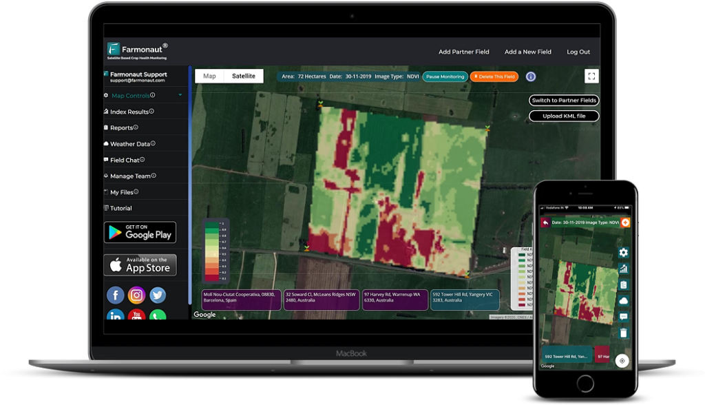
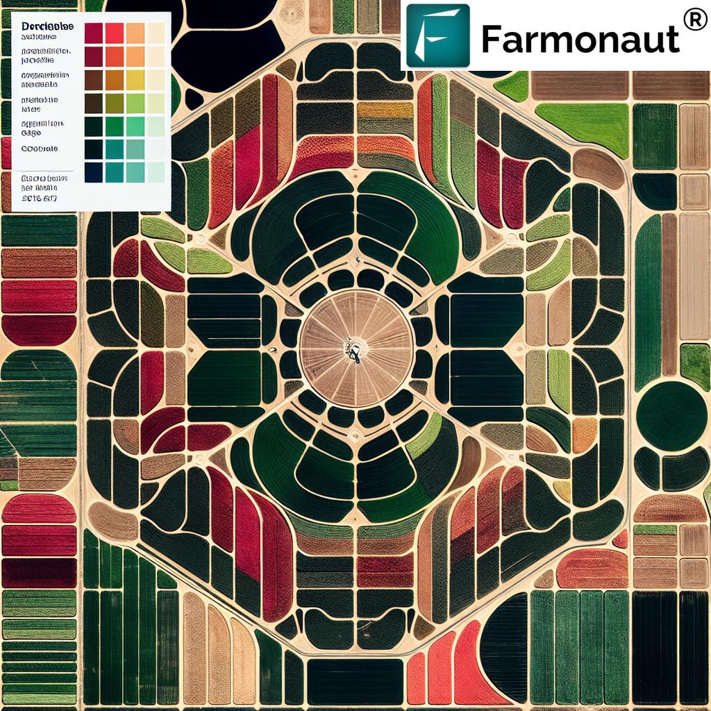
Our state-of-the-art crop monitoring system utilizes high-resolution satellite imagery to provide real-time insights into crop health and development. This advanced technology allows farmers to:
- Track crop growth patterns across vast areas
- Detect early signs of stress or disease
- Identify variations in crop performance within field boundaries
- Optimize resource allocation based on precise crop needs
By harnessing the power of remote sensing and geospatial analytics, we enable farmers to monitor their crops with unprecedented accuracy and efficiency, leading to improved yields and reduced environmental impact.
Soil Analysis: Unveiling the Secrets Beneath
Understanding soil health is crucial for sustainable agriculture. Our advanced soil analysis tools provide detailed insights into:
- Soil moisture levels
- Organic carbon content
- Nutrient composition
- Soil structure and texture
By combining satellite data with on-ground sensors and sophisticated algorithms, we offer a comprehensive view of soil health across entire fields. This invaluable information allows farmers to make informed decisions about irrigation, fertilization, and crop rotation schedules.
Harnessing the Power of Satellite Imagery
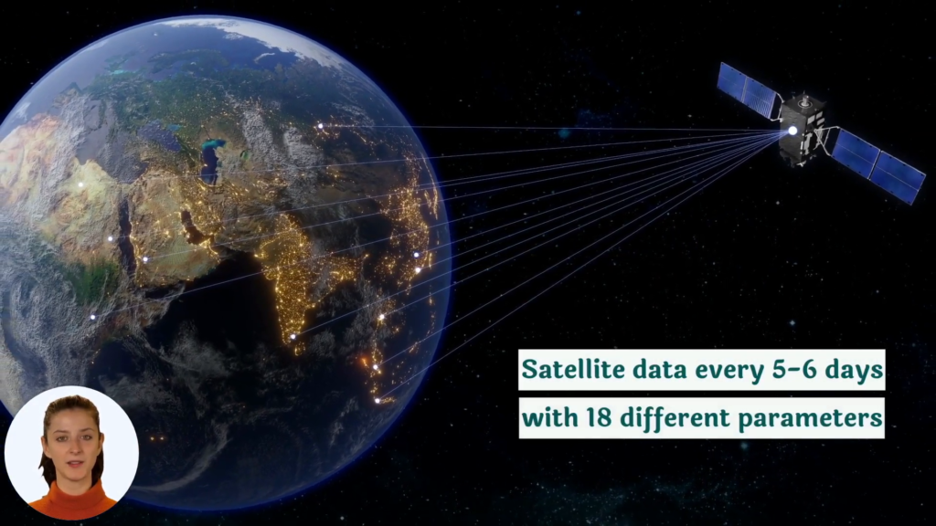
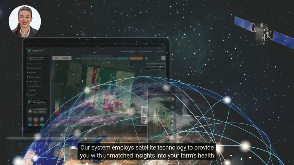
At the core of our agricultural intelligence services lies the power of satellite imagery. We utilize a constellation of Earth observation satellites to capture high-resolution images of agricultural lands across the globe. These images are then processed and analyzed using advanced algorithms to extract valuable insights for farmers and agronomists.
Benefits of Satellite-Based Crop Monitoring
- Wide Area Coverage: Satellite imagery allows us to monitor vast agricultural areas efficiently, providing a comprehensive view of entire regions or countries.
- Frequent Updates: Regular satellite passes ensure that farmers have access to up-to-date information about their crops throughout the growing season.
- Non-Invasive Monitoring: Unlike traditional scouting methods, satellite-based monitoring does not require physical entry into fields, reducing the risk of crop damage and disease spread.
- Historical Data Analysis: By analyzing satellite imagery over time, we can identify long-term trends and patterns in crop performance and land use.
Advanced Image Processing Techniques
Our team of experts employs cutting-edge image processing techniques to extract maximum value from satellite imagery. These include:
- Multispectral Analysis: By examining different spectral bands, we can assess various aspects of crop health and soil conditions.
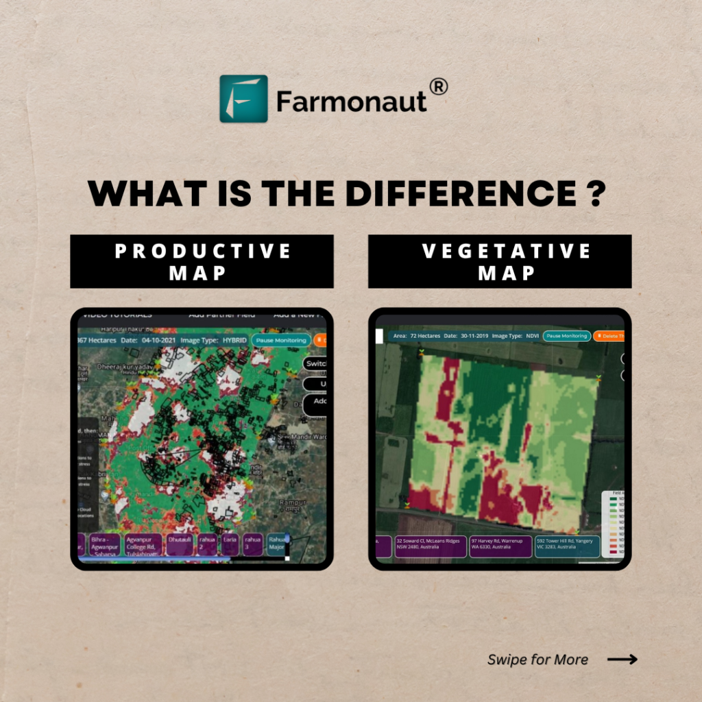
- Vegetation Indices: We utilize indices such as NDVI (Normalized Difference Vegetation Index) to quantify crop vigor and biomass.
- Change Detection: Our algorithms can identify subtle changes in field conditions over time, alerting farmers to potential issues before they become visible to the naked eye.
- Machine Learning Classification: Advanced AI models help us classify different crop types and growth stages automatically.
Agronomic Insights for Informed Decision-Making
Our platform goes beyond mere data collection and visualization. We provide actionable agronomic insights that empower farmers to make informed decisions about their crop management strategies.
Yield Prediction and Optimization
By combining historical yield data, current crop conditions, and weather forecasts, our advanced analytics engine generates accurate yield predictions. This allows farmers to:
- Plan harvesting schedules more effectively
- Optimize resource allocation based on expected yields
- Make informed marketing decisions
- Identify areas of low productivity for targeted improvements
Variable Rate Application (VRA) Recommendations
Our system generates precise VRA maps that enable farmers to apply inputs such as fertilizers, pesticides, and water with pinpoint accuracy. This targeted approach leads to:
- Reduced input costs
- Minimized environmental impact
- Improved crop quality and yield uniformity
- Enhanced overall farm profitability
Weather Integration for Proactive Farm Management
Weather plays a crucial role in agricultural success. Our platform integrates real-time weather data and advanced forecasting models to help farmers:
- Plan field operations with greater precision
- Anticipate and mitigate weather-related risks
- Optimize irrigation schedules based on predicted rainfall
- Make informed decisions about pest and disease management
By combining weather intelligence with our crop monitoring and soil analysis capabilities, we provide a holistic view of farm conditions, enabling proactive management strategies.
Sustainability and Environmental Stewardship
At Farmonaut, we recognize the critical importance of sustainable agriculture in addressing global challenges such as climate change and food security. Our platform is designed to promote environmentally responsible farming practices through:
Carbon Footprint Monitoring
We help farmers track and reduce their carbon footprint by:
- Monitoring soil organic carbon levels
- Assessing the impact of different farming practices on carbon sequestration
- Providing recommendations for carbon-neutral or carbon-negative agriculture
Resource Optimization
Our intelligent algorithms help farmers optimize the use of vital resources such as:
- Water: Through precise irrigation scheduling and deficit irrigation strategies
- Fertilizers: By matching nutrient application to crop needs and soil conditions
- Pesticides: Through targeted application based on early pest and disease detection
Biodiversity Conservation
We support biodiversity conservation efforts by:
- Identifying and mapping important habitat areas within agricultural landscapes
- Monitoring the impact of farming practices on local ecosystems
- Providing guidance on creating wildlife corridors and buffer zones
Advanced Analytics for Precision Agriculture
Our platform leverages state-of-the-art analytics to transform raw data into actionable intelligence. Some of the key analytical capabilities we offer include:
Crop Classification and Mapping
Using machine learning algorithms and multitemporal satellite imagery, we provide accurate crop type classification and mapping services. This enables:
- Precise crop inventory management
- Early detection of crop rotations and land use changes
- Improved regional agricultural planning and policy-making
Anomaly Detection and Early Warning Systems
Our advanced anomaly detection algorithms continuously monitor crop health and field conditions, alerting farmers to potential issues such as:
- Pest infestations
- Disease outbreaks
- Nutrient deficiencies
- Water stress
This early warning system allows for timely interventions, minimizing crop losses and optimizing resource use.
Predictive Analytics for Risk Management
By analyzing historical data, current conditions, and future projections, our predictive analytics engine helps farmers and agribusinesses:
- Assess and mitigate various agricultural risks
- Optimize crop insurance strategies
- Make informed decisions about crop selection and rotation
- Plan for potential climate change impacts
Integrating Geospatial Intelligence with Farm Operations
To maximize the value of our geospatial intelligence services, we offer seamless integration with various farm management systems and operations:
API Integration for Custom Solutions
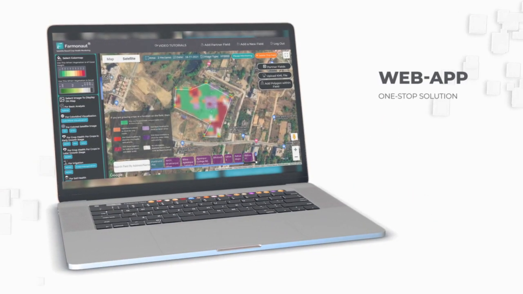
Our robust API allows developers and agtech companies to integrate our satellite imagery, weather data, and analytics into their own applications and platforms. This flexibility enables the creation of tailored solutions for specific agricultural needs. Learn more about our API capabilities here.
Mobile Applications for On-the-Go Access
We offer user-friendly mobile applications that provide farmers with instant access to critical farm information, regardless of their location. Our apps are available for both Android and iOS devices:
Integration with Farm Equipment and IoT Devices
Our platform can integrate with various smart farming technologies, including:
- GPS-enabled tractors and harvesters
- Automated irrigation systems
- Soil sensors and weather stations
- Drones for localized aerial imaging
This integration creates a comprehensive digital farming ecosystem that maximizes efficiency and productivity.
Beyond Agriculture: Expanding into Forestry and Land Management
While our primary focus is on agricultural applications, our geospatial intelligence platform also offers valuable solutions for forestry and land management:
Forest Monitoring and Conservation
Our satellite-based monitoring system helps forestry professionals and conservation organizations:
- Track deforestation and forest degradation
- Monitor reforestation efforts and forest health
- Assess wildfire risks and manage post-fire recovery
- Map and protect biodiversity hotspots
Land Use Planning and Management
Government agencies and land managers can leverage our platform to:
- Monitor urban expansion and its impact on agricultural lands
- Assess the effectiveness of conservation policies
- Plan sustainable land use strategies
- Monitor compliance with environmental regulations
The Future of Agricultural Intelligence
As we continue to innovate and expand our capabilities, we envision a future where geospatial intelligence becomes an indispensable tool for sustainable and efficient agriculture. Some of the exciting developments on our roadmap include:
Integration of Hyperspectral Imagery
We are exploring the use of hyperspectral satellite sensors to provide even more detailed insights into crop health, soil composition, and environmental conditions.
Advanced AI and Machine Learning
Our ongoing research in artificial intelligence and machine learning aims to further enhance our predictive capabilities and automate complex decision-making processes in agriculture.
Blockchain Integration for Supply Chain Transparency
We are developing blockchain-based solutions to enhance traceability and transparency in agricultural supply chains, from farm to consumer.
Climate Change Adaptation Strategies
Our team is working on advanced models to help farmers adapt to changing climate conditions, including the development of crop variety recommendations and long-term land use planning tools.
Comparison: Farmonaut vs. Traditional Methods
| Feature | Traditional Method | Farmonaut System |
|---|---|---|
| Crop Monitoring | Manual field scouting, limited coverage | Satellite-based monitoring, comprehensive coverage, real-time updates |
| Soil Analysis | Periodic soil sampling, lab testing | Continuous monitoring, integration of satellite and sensor data |
| Weather Integration | Local weather stations, limited forecasting | Advanced weather models, field-specific forecasts, historical analysis |
| Yield Prediction | Based on historical averages and manual estimates | AI-driven predictions using multiple data sources, including satellite imagery |
| Resource Optimization | Uniform application of inputs | Variable rate application based on precise field data and crop needs |
Frequently Asked Questions (FAQ)
Q: How accurate is satellite-based crop monitoring?
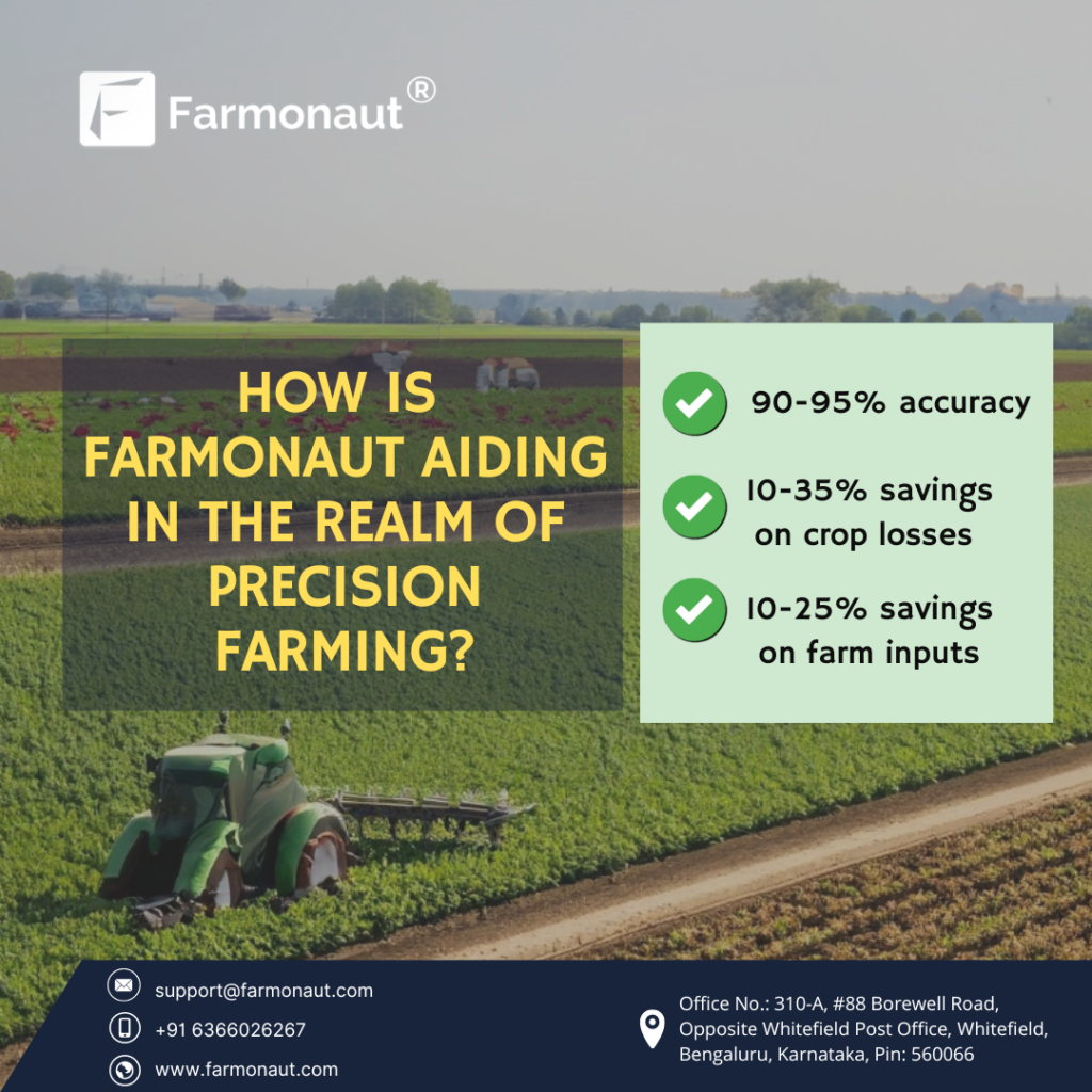
A: Our satellite-based crop monitoring system achieves high levels of accuracy, typically above 90% for major crop types and health assessments. The accuracy continues to improve as we refine our algorithms and integrate more data sources.
Q: Can Farmonaut’s system work for small farms?
A: Yes, our system is scalable and can be used for farms of all sizes. We offer different subscription tiers to accommodate the needs of small, medium, and large-scale farmers.
Q: How often is the satellite imagery updated?
A: The frequency of updates depends on the specific service tier and satellite constellation used. Generally, we provide updates every 3-5 days for most locations, with some areas receiving daily updates.
Q: Does Farmonaut provide ground-truthing services?
A: While we primarily rely on satellite data and advanced analytics, we do offer guidance on ground-truthing methods. For enterprise clients, we can arrange partnerships with local agronomists for on-site verification.
Q: How does Farmonaut handle cloud cover and bad weather?
A: We use a combination of optical and radar satellites to minimize the impact of cloud cover. Additionally, our algorithms are designed to interpolate data and provide consistent insights even during periods of unfavorable weather.
Q: Can Farmonaut’s system integrate with my existing farm management software?
A: Yes, we offer API access that allows for seamless integration with many popular farm management platforms. Our team can work with you to ensure compatibility with your existing systems.
Q: How does Farmonaut support sustainable farming practices?
A: Our platform promotes sustainability through precise resource management, carbon footprint monitoring, and soil health tracking. We provide recommendations for conservation practices and help farmers optimize their operations for environmental stewardship.
Q: Is training provided for using Farmonaut’s platform?
A: Yes, we offer comprehensive training resources, including video tutorials, webinars, and documentation. For enterprise clients, we provide personalized onboarding and ongoing support.
Q: How secure is the data collected by Farmonaut?
A: We take data security very seriously. All data is encrypted both in transit and at rest, and we adhere to strict privacy policies. We do not share individual farm data without explicit consent from the user.
Q: Can Farmonaut’s system be used for organic farming?
A: Absolutely. Our platform is valuable for all types of farming, including organic. We can help organic farmers monitor crop health, manage pests naturally, and optimize their operations while adhering to organic certification requirements.
Ready to Transform Your Farm with Geospatial Intelligence?
Experience the power of advanced crop monitoring and geospatial intelligence with Farmonaut. Our cutting-edge platform is designed to help you optimize your farm’s performance, increase sustainability, and boost your bottom line.
Subscribe to Farmonaut today and take the first step towards precision agriculture:
For more information about our services or to schedule a demo, please visit our website at https://farmonaut.com/app_redirect.
Join the agricultural revolution with Farmonaut – where satellite technology meets sustainable farming practices!
