
Gold Exploration Breakthrough: 5 Key Sampling Results in Kainantu
Discover the latest in gold exploration projects, soil sampling and analysis, and geochemical indicators driving advanced drill target identification. Read

Arlington Soil Survey: 5 Key Insights from BC Gold Drilling
Explore the latest in Arlington soil survey and British Columbia gold drilling trends, including geophysical anomaly mapping and surface sampling

Top 5 Agriculture Tech Trends Transforming Saskatchewan
Explore global agriculture technologies, AI, blockchain, and sustainable ingredient solutions shaping industry trends, partnerships, and regulatory insights.
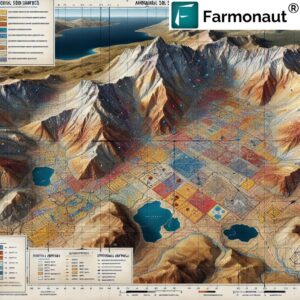
2024 Gold Soil Sampling Unveils Key Trends in British Columbia
Explore gold soil sampling results, anomalous soil geochemistry, and key structural controls in mineral exploration—discover 2024 drill program insights.

Alberta Reverse Takeover: Top 5 Powerful Trends Shaping Agri-Tech
Explore key developments in reverse takeover transactions, TSX Venture Exchange policies, and technology solutions for agriculture. Read more for insights.

Arizona Porphyry Copper Exploration: 2024 Results & Key Trends
Explore Arizona porphyry copper exploration, soil sampling and analysis, and advanced fieldwork insights in mineral property evaluation. Read the latest

Beiseker Facility Fuels Canadian Fertilizer Growth and Nutrient Supply
Explore Canadian granulated fertilizer trends, Beiseker facility updates, and regenerative agriculture products driving growth in the Canadian agriculture market.
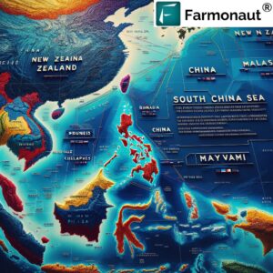
New Zealand Philippines Defence Pact: 5 Key Impacts on Indo-Pacific
New Zealand and Philippines boost defence cooperation with a landmark troop pact, addressing South China Sea security and Indo-Pacific regional
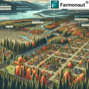
Wildfire Resiliency Plan: 6 Powerful Steps for South Cariboo 2025
Discover how wildfire resiliency plans and regional district wildfire management in BC are reducing community wildfire risk and boosting emergency

Monterey County Downtown Plaza Grand Opening: 5 Exciting Events
Discover city and county trends: new downtown plaza grand opening, Monterey County libraries’ outdoor activity kits, and public safety traffic

Vacuum Drying Technology Boosts Fruit & Vegetable Market in Mexico
Explore industry trends in vacuum drying technology, food quality, and commercial fruit and vegetable production—discover insights shaping global agriculture.

Vancouver Gold Exploration: 7 Powerful Drill Results Revealed
Explore massive sulphide mineralization, gold exploration results, and drilling program updates with analysis on market liquidity, TSX news, and assay

Manitoba 2024: Advanced Soil Sampling for Rare Earth Discovery
Explore advanced soil sampling in Manitoba and Alberta, revealing rare earth element mineralization via metagenomic and geochemical analysis for 2024-2025.
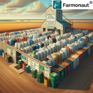
Farm Plastic Recycling in Canada: 2.2 Million kg Collected in 2024
Discover how farmers lead in agricultural recycling programs, supporting a circular economy in agriculture and responsible farm packaging management—read more!

Agriculture Education in Manitoba: 5 Powerful Ways Garden Kits Inspire
Explore agriculture education programs and garden kits driving crop literacy, hands-on learning, and rural farming careers for Manitoba’s sustainable future.

Top 5 Soil Sampling Trends in Papua New Guinea Gold Exploration
Explore area mapping, soil sampling, and geochemical indicators for discovery in gold exploration projects, with insights on drill targeting and

Arlington Soil Survey: 2025 Geophysical & Drilling Highlights
Discover the latest arlington soil survey, geophysical results, and diamond drilling program in British Columbia—uncover key mineralization trends and insights.

Global Food Security Breakthrough: 2025 Palm Merger Trends in Regina
Explore advanced agriculture, global food security, and sustainable solutions powered by proprietary AI, blockchain, and decentralized finance innovations.

Arizona Porphyry Copper Exploration: 7 Powerful Advances in 2025
Discover the latest on Arizona porphyry copper projects, geophysical surveys, mineralization analysis, and 3D modeling trends driving mineral exploration success.

2024 Growth & Insights on Canadian Fertilizer Production at Beiseker
Explore Canadian fertilizer production, Beiseker facility growth, and regenerative agriculture solutions shaping sustainable Canadian agriculture exports.

Philippines-New Zealand Pact: Shaping Indo-Pacific Security
Philippines New Zealand defence ties grow as landmark SOVFA boosts Indo-Pacific security cooperation, military partnership, and South China Sea stability.

Gold Exploration Australia: 5 Key Asset Updates & High-Grade Results
Explore gold exploration in Australia, greenfield projects in Papua New Guinea, high-grade epithermal assets, and key drilling results driving industry

2025 Drill Targets Revealed for Gold Exploration in Nevada
Explore gold exploration Nevada industry trends, new drill target areas, soil survey results, and mining district Battle Mountain Eureka Trend
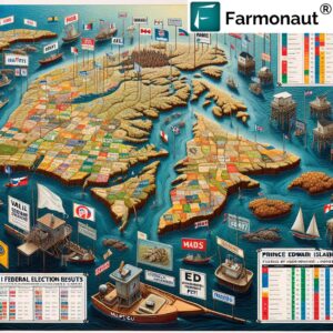
PEI Federal Election Results: 4 Key Industry Challenges Revealed
Explore pei federal election results, pei political ridings, and industry updates on cost of living, agriculture, fisheries, and health care

Seeds of Compassion: 3 Powerful Ways Moose Jaw Supports Healthcare
Discover how seeds of compassion and local agricultural business contributions empower community health care support and yearly medical fundraising campaigns.

Agricultural Solutions Canada: 12 Community Impact Winners in 2025
Discover how agricultural solutions in Canada empower rural communities, support local organizations, and drive sustainable agriculture initiatives. Read more!

Provincial Airport Funding: $1.8M Boost for Tisdale Runway Upgrades
Explore provincial airport funding, runway rehabilitation projects, and community airport improvements benefiting rural Saskatchewan’s infrastructure growth.
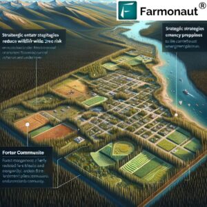
Wildfire Resiliency Plan: 7 Powerful Steps for Cariboo BC in 2025
Discover how regional wildfire resiliency plans and forest management services aim to reduce wildfire risk in BC communities and enhance

Vacuum Drying Tech Enhances Snack Production in Mexico: 2025 Insights
Discover how vacuum drying technology and radiant energy machines are reshaping commercial food dehydration, boosting quality, safety, and market growth.

Top 5 Soil & Sulphide Insights for Mineral Exploration in British Columbia
Explore the latest mineral exploration in British Columbia—uncover soil geochemistry analysis, massive sulphide mineralization, and Vancouver property insights.

Agricultural Recycling in Canada: 2.2M kg Plastics Saved in 2024
Discover how agricultural recycling programs and farm plastic recycling empower farmers in Canada to support a circular economy and protect

Agriculture Education in Manitoba: 5 Powerful Ways Garden Kits Inspire
Explore agriculture education in Manitoba with classroom garden programs, seed to harvest curriculum, and hands-on plant and soil learning for

Arizona Copper Projects: 2024 Highlights in Drilling and Discovery
Explore Arizona copper mining projects, mineral exploration in Serbia, and joint venture mineral projects—discover trends, data insights, and new discoveries
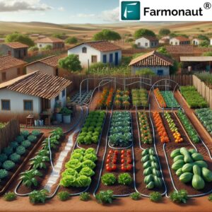
Agricultura familiar no Piauí: 7 impactos poderosos nos quintais
Descubra como a agricultura familiar no Brasil transforma desertos alimentares com quintais produtivos, aumenta renda e garante alimentação saudável.

Water Crisis in France: 7 Powerful Smart Solutions for Conservation
Discover how data-driven water conservation solutions, smart water meters, and citizen engagement address the water crisis in France. Read for

Poľnohospodárska pôda v Bratislave: Odhalený podvod za
Podvody pri žiadostiach o priame platby na poľnohospodársku pôdu EÚ, nájomné zmluvy a kontrola dotácií: Zistite aktuálne trendy a riziká.

Продовольственная безопасность России: 7 инноваций для аграриев Москвы
Технологическое обеспечение аграрного сектора Москвы и России: новые решения, семенной фонд, удобрения, инвестиции и продовольственная безопасность.

Sudska praksa javne nabavke: 5 ključnih promjena za žalbe
Saznajte kako sudska praksa javne nabavke i tumačenje zakona o javnim nabavkama mijenjaju dokaz o uplati naknade i žalbeni postupak.

Grundsteuer Eisenach 2024: Updates & Trends im Wartburgkreis
Grundsteuer Eisenach, Radfahren im Wartburgkreis, Flatterulmen im Mariental: Aktuelle Infos zu Grundsteuerbescheiden, Natur und Veranstaltungen entdecken!

Banken Oberösterreich: Top 5 Trends und starke Führung 2025
Aktuelle Entwicklungen im Bankenwesen Oberösterreich: Neue Führungen bei sparkassen linz, volksbanken salzkammergut, treasury abteilung österreich.

Spanische Lagunen in Gefahr: 7 Folgen intensiver Agrarwirtschaft
Spanische Lagunen leiden unter Umweltzerstörung durch Agrarwirtschaft; Folgen sind Nitratbelastung, bedrohte Arten und dringender Bedarf an Renaturierung.

Niğde’de Alternatif Tarım: Serada 105 Fide ile Yaban Mers
Alternatif tarım ürünleri, bitkisel üretim teknikleri ve serada yaban mersini yetiştiriciliğiyle kırsal kalkınmayı destekleyen modern uygulamalar!

Mlekara u Srbiji: 5 koraka za jači sektor mlekarstva danas
Beograd: Unapređenje sektora mleka i mlekarstva u Srbiji kroz jaču komunikaciju aktera i inovativnu platformu za izazove na tržištu. Saznajte

Agricoltura Varese: 5 Strategie Vincenti per un Territorio Sostenibile
Agricoltura Varese: tutela e sviluppo territorio agricolo sostenibile tra montagna e pianura, con focus su filiera locale e paesaggio da

Льготный лизинг сельхозтехники: мощная поддержка аграриев
Льготный лизинг техники и поддержка аграриев в России: новые условия 2025, обновление автопарка, программы господдержки, посевные площади.

Bioabfallverordnung 2023 Berlin: 5 effektive Wege für saubere Bioton
Bioabfallverordnung 2023: Bioabfälle richtig entsorgen, Kunststoff im Biomüll reduzieren und durch Getrenntsammlung Kompostqualität verbessern.

Azoto tarša žemės ūkyje Kaune: 5 svarbūs tvar
Azoto tarša žemės ūkyje priklauso ne tik nuo trąšų kiekio – sužinokite, kaip liekanos ir klimato kaita veikia azoto išplovimą

Crescimento do Consórcio de Máquinas Agrícolas em Ribeirão Preto
Altas taxas de juros impulsionam o consórcio de máquinas agrícolas e locação em 2024; confira alternativas ao financiamento e tendências

22 Proyectos Clave de Irrigación en Perú para el Agro y la Minería
Minería y proyectos agrarios en Perú impulsan el desarrollo integral, destacando la gestión del agua, represas y avances en riego

China y América Latina: 7 Innovaciones Tecnológicas Agrícolas Clave
Descubre cómo la cooperación agrícola China-América Latina impulsa biogás, tecnología e innovación para mitigar la pobreza y fortalecer la seguridad