Wildfire Resiliency Plan: 7 Powerful Steps for Cariboo BC in 2025
“Cariboo’s 2025 plan targets a 30% reduction in wildfire risk through seven strategic resiliency steps.”
Table of Contents
- Introduction: The Urgency of Wildfire Resiliency in Cariboo, BC
- Background: Cariboo Regional District and Community Wildfire Risk
- Why a Wildfire Resiliency Plan Is Critical for BC Communities
- 2025 Wildfire Risk Plans: Areas of Focus in the South and Central Cariboo
- Wildfire Resiliency Plan: 7 Powerful Steps for Cariboo in 2025
- Comparison Table of Resiliency Steps and Projected Impacts
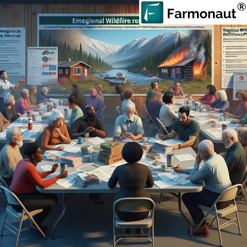
- Community Engagement and Public Participation in Plan Development
- Securing Grant Funding for Wildfire Planning in BC
- How Farmonaut Technology Supports Wildfire & Forest Management
- Essential Tools for Regional Wildfire Preparedness and Forest Management Services
- Looking Ahead: Plan Maintenance, Updates, and Expansion
- Get Started with Farmonaut – Affordable Tech for Resiliency
- FAQ: Wildfire Resiliency Plans in the Cariboo Regional District
- Conclusion: Building a Wildfire-Resilient Community Together
Introduction: The Urgency of Wildfire Resiliency in Cariboo, BC
Wildfire risk in BC communities is escalating, as rising temperatures and changing weather patterns continue to threaten our forests, towns, and livelihoods. In the heart of British Columbia, the Cariboo Regional District (CRD) is taking decisive action to protect its communities through the development of a comprehensive wildfire resiliency plan for 2025 and beyond.
Our journey toward a safer, more sustainable future starts here—by recognizing the magnitude of the threat and responding with proven strategies, broad community participation, and innovative technology solutions.
Background: Cariboo Regional District and Community Wildfire Risk
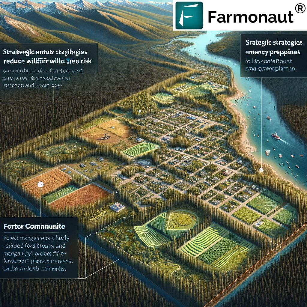
The CRD is a large, diverse region in BC, home to dense forests, vibrant towns, and crucial economic sectors. With wildfire seasons growing longer and more intense, our district faces mounting risk from wildfires that threaten homes, infrastructure, and natural resources.
The Cariboo Regional District’s emergency program services manager, Irene Israel, has emphasized the need for tailored, community-driven approaches to wildfire resiliency. We recognize that each electoral area—from Commodore Heights to Interlakes—has unique vulnerabilities demanding specific strategies.
Why a Wildfire Resiliency Plan Is Critical for BC Communities
- Protect lives, homes, and treasured local landscapes by proactively reducing wildfire risk.
- Coordinate regional efforts to mitigate impacts and enhance emergency response capabilities.
- Empower our communities in the south, central, north, and west portions of the district with the knowledge and resources needed for effective action.
- Unlock vital grant funding for community wildfire risk reduction, enabling us to plan, prepare, and act efficiently.
By investing in a robust wildfire resiliency plan, we can foster long-term sustainability, economic stability, and a sense of security for all residents of the Cariboo Regional District.
“Over 50 BC communities are adopting regional wildfire resiliency plans to boost emergency preparedness and forest management.”
2025 Wildfire Risk Plans: Areas of Focus in the South and Central Cariboo
For 2025, the CRD is initially focusing on developing wildfire resiliency plans for the south and central portions of the district. The targeted areas include:
- Electoral Area D: Commodore Heights, Fox Mountain, McLeese Lake, Pine Valley, Wildwood
- Electoral Area E: South Lakeside, Dog Creek
- Electoral Area F: 150 Mile, Miocene, Horsefly, Likely
- Electoral Area G: Lac La Hache, 108 Mile
- Electoral Area H: Canim Lake, Forest Grove
- Electoral Area L: Lone Butte, Interlakes
Our aim is to identify wildfire risk in each community, provide actionable recommendations, and implement strategies that increase our regional wildfire preparedness.
Wildfire Resiliency Plan: 7 Powerful Steps for Cariboo in 2025
At the core of our wildfire emergency management plan are seven strategic steps designed to drive measurable risk reduction, strengthen community wildfire risk reduction, and set the stage for a safer, more sustainable Cariboo.
-
Comprehensive Community Risk Assessments
We systematically analyze historical data, vegetation, topography, climate patterns, and human activity in each community. These assessments deliver critical insights into risk levels and highlight prioritized intervention zones within the south and central portions.
-
Community-Centric Education & Outreach
Empowering residents with knowledge is key. Regular open houses (as announced for summer), workshops, and digital resources ensure everyone knows how to prepare for wildfires, reduce ignition sources, and access evacuation resources.
-
Forest Management Services & Fuel Treatment
Deploying cost-effective forest management services to thin hazardous vegetation, create defensible spaces, and clear fire-prone debris. Partnerships with professionals ensure best practices for wildfire mitigation strategies and long-term ecosystem health.
-
Critical Infrastructure Protection
We assess and harden essential assets such as water supply facilities, power lines, telecommunication systems, and emergency services hubs. Protective measures include fireproofing, redundancy planning, and investment in backup systems for improved community resilience.
-
Early Warning & Emergency Response Integration
Implementing advanced detection systems, real-time communication protocols, and robust evacuation plans. Our strategy ensures seamless coordination among first responders and local agencies, supported by dedicated emergency program services personnel.
-
Land Use Planning & Development Controls
Integrating wildfire risk into zoning, construction standards, and development approvals. New projects in north, west, central, and south Cariboo must address fire safety through landscaping, building materials, and access route design.
-
Sustainable Monitoring & Plan Updates
We ensure ongoing risk reduction by establishing regular plan reviews (every five years) and adaptive management. Community-driven feedback, data analytics, and satellite-based tools are leveraged for maintained and updated resiliency strategies.
Comparison Table of Resiliency Steps and Projected Impact
| Step Number/Name | Description of Step | Estimated Implementation Cost (CAD) | Projected Risk Reduction (%) | Estimated Timeline (Months) | Key Stakeholders Involved |
|---|---|---|---|---|---|
| Step 1: Risk Assessments | Analyze fire history, vegetation, human activity; map priority areas. | $55,000 | 10% | 6 | CRD, Analysts, Community Leaders |
| Step 2: Community Outreach | Education events, resource guides, workshops, summer open houses. | $17,000 | 5% | 6 | CRD, Residents, NGOs |
| Step 3: Forest Management Services | Vegetation thinning, debris removal, defensible space creation. | $60,000 | 8% | 12 | Forest Experts, Fire Service, Local Crews |
| Step 4: Infrastructure Protection | Fireproofing utilities, backup systems, asset mapping. | $22,000 | 2% | 10 | Utility Providers, CRD, Emergency Planners |
| Step 5: Early Warning & Response | Detection sensors, alert systems, response drills, integration. | $25,000 | 2% | 8 | Emergency Program, Fire Depts, RCMP |
| Step 6: Land Use Planning | Fire-safe zoning, building codes, controlled development. | $8,500 | 2% | 18 | Planners, Builders, CRD Officials |
| Step 7: Monitoring & Updates | Regular reviews, adaptive management, satellite tracking, data-driven updates. | $4,500 | 1% | Ongoing | CRD, Data Providers, Public |
Community Engagement and Public Participation in Plan Development
- Inclusivity: We involve residents from every electoral area—south, central, and soon, north and west—for comprehensive input.
- Transparency: Upcoming open houses in each area, with updates shared on the CRD website and social media.
- Feedback Loops: Formal and informal channels for community members to comment on draft plans and share local insights.
For more on participation or accessing wildfire preparedness resources, visit the official Cariboo Regional District emergency program services webpages.
Securing Grant Funding for Wildfire Planning in BC
The Union of BC Municipalities (UBCM) administers the Community Resiliency Investment Program, providing grants for wildfire risk reduction and resiliency planning. The CRD has been awarded approximately $192,000, fully covering development for the current areas. We will reapply next year to expand coverage to every electoral area.
- Grant funding for wildfire planning accelerates project timelines and allows us to maintain high standards in each plan.
- Ensures that recommended actions to reduce wildfire risk are actionable and quickly implemented.
- Enables equity: Every community, regardless of size or income, can participate fully in wildfire mitigation strategies.
For technology and analytics support, consider Farmonaut’s robust API and developer documentation—ideal for integrating satellite, weather, and crop monitoring data into your local planning efforts.
How Farmonaut Technology Supports Wildfire & Forest Management
As we work to reduce wildfire threats, technology is vital. Farmonaut provides advanced, satellite-based farm and forest management solutions via Android, iOS, web, and API. Their mission aligns closely with our district’s goals, offering real-time monitoring, AI-guided analysis, and environmental impact tracking.
-
Satellite Crop and Forest Health Monitoring:
Using multispectral imagery, Farmonaut helps identify stress in vegetation, detect dry fuel loads, and monitor at-risk zones for early wildfire warning. These insights support efficient planning and prioritize resource deployment.
-
AI-Based Advisory and Emergency Planning:
The Farmonaut Jeevn AI system processes complex data sets to provide clear, actionable guidance on risk management strategies suited to our local context.
-
Blockchain-Based Traceability:
Enables secure, transparent tracking of supply chain and resource movement—even useful for documenting fire mitigation actions for insurance, compliance, and reporting.
-
Fleet & Resource Management:
Farmonaut’s fleet management tools (discover more here) optimize the deployment of vehicles, equipment, and personnel—critical during wildfire seasons and emergency response.
-
Carbon Footprinting:
Track and reduce the carbon emissions from both planned burns and wildfire events. Farmonaut’s Carbon Footprinting module helps organizations and municipalities comply with sustainable development targets.
-
Large-Scale Monitoring:
Manage extensive landscapes, plantations, and forests strategically with the Farmonaut Large Scale Farm Management App—empowering better oversight for both district administrators and on-the-ground teams.
-
Real-time Mobile Access:
Teams, residents, and authorities can access actionable data straight from their phones thanks to Farmonaut’s Android app and iOS app.
The CRD, emergency program services, and local communities stand to benefit tremendously from the seamless fusion of AI, satellite, and real-time data in building a sustainable, resilient Cariboo.
Essential Tools for Regional Wildfire Preparedness and Forest Management Services
- Data-Driven Insights: Satellite analytics and AI assessments guide wildfire mitigation strategies and resource allocation.
- Blockchain Traceability: Enhance transparency and accountability for supply chain movement, especially relevant in disaster recovery and relief logistics. See Farmonaut’s comprehensive Product Traceability solution.
- Insurance & Financing Verification: Secure accurate, satellite-based evidence for post-fire insurance claims and crop loan applications, reducing fraud and speeding recovery.
- Fleet and Asset Coordination: From fire engines to support vehicles, Farmonaut’s fleet management tools excel in emergency contexts.
-
Mobile-First Communication: Easy access to plans, advisories, and weather warnings on-the-go via Farmonaut’s


- API Integration: Enhance your local emergency programs by integrating Farmonaut’s Satellite & Weather API for up-to-date, reliable geo-data.
Leverage these state-of-the-art tools for community wildfire risk reduction and smarter, data-driven forest management.
Interested in advanced forest advisory solutions?
Explore the Farmonaut Crop Plantation & Forest Advisory features for actionable insights and scalable support, whether you’re managing municipal, community, or private lands within the Cariboo or elsewhere in BC.
Looking Ahead: Plan Maintenance, Updates, and Expansion
Our wildfire resiliency plan is not a static document. From 2025 onwards, each plan will be maintained and updated every five years, reflecting changing conditions, evolving best practices, and community learning.
- Annual progress checks tied to real-world fire activity and fuel conditions.
- Quick integration of new technologies—like AI-powered analytics, satellite trends, and environmentally sustainable practices.
- Regional approach: Implement lessons learned in the south and central portions to inform plan expansion into the north and west Cariboo, ensuring every electoral area benefits by the end of 2026.
Our long-term vision is a seamlessly coordinated emergency program service spanning the entire CRD and an empowered, prepared population resilient to wildfire challenges.
Get Started with Farmonaut – Affordable Tech for Resiliency
For governments, UBCM grant recipients, agricultural managers, and community leaders, Farmonaut offers scalable, cost-effective, real-time satellite and AI-based monitoring to advance wildfire resiliency objectives.
FAQ: Wildfire Resiliency Plans in the Cariboo Regional District
What is a wildfire resiliency plan?
A wildfire resiliency plan is a structured, evidence-based document outlining actions, strategies, and timelines to reduce wildfire risk, enhance emergency preparedness, and strengthen community resilience in the face of wildfires in BC.
Who is responsible for developing the plan?
The Cariboo Regional District (CRD) oversees the plan’s development, engaging with local leaders, emergency program services, technical experts, and residents across all electoral areas.
What are the seven steps in the Cariboo wildfire resiliency plan?
The seven steps include: risk assessments, community outreach, forest management services, infrastructure protection, early warning integration, land use planning, and sustainable plan updates.
How is community input factored into the process?
CRD runs open houses and collects feedback during the summer. Recommendations from residents help prioritize challenges and identify practical solutions for community wildfire risk reduction.
Will the wildfire resiliency plan be updated?
Yes, the CRD will update and maintain the plan every five years, ensuring it adapts to changing regional wildfire preparedness needs.
Where can I find tools to help manage wildfire risk?
Farmonaut offers satellite-based monitoring, AI-driven advisory, fleet management, and carbon footprinting tools for both agricultural and municipal users aiming to mitigate wildfire risk.
Conclusion: Building a Wildfire-Resilient Community Together
The wildfire resiliency plan for Cariboo, BC, is more than a policy—it’s a comprehensive, continuing process to identify, reduce, and adapt to wildfire threats. By engaging every electoral area, investing in management services, securing grant funding, and leveraging leading technologies like Farmonaut, we are uniquely poised to safeguard our communities, environment, and way of life.
Whether you’re a homeowner, emergency responder, local official, or land manager, your participation is central to our 2025 wildfire risk plans and beyond. Together, we can ensure the Cariboo Regional District—and all BC communities—are prepared, resilient, and thriving in the face of future challenges.
Take the next step: Explore the Farmonaut app and tools for tailored, real-time support, and be part of our region’s safer, sustainable future.


