
2024 Gold Soil Sampling Unveils Key Trends in British Columbia
“In 2024, over 1,500 gold soil samples in British Columbia revealed a 22% increase in anomalous geochemical zones.”


Introduction: The Rise of Soil Sampling in Mineral Exploration
Soil sampling has become an integral part of mineral exploration in British Columbia, revealing anomalous soil geochemistry crucial for identifying new gold deposits. As we progress through 2024, our focus sharpens on the significance of detailed geochemical analysis, advanced sampling programs, and the interpretation of data patterns that inform and refine drilling targets in historic mining areas.
The Peerless Property, situated within the Bralorne-Gold Bridge Mining Camp in southwest British Columbia, exemplifies how modern soil sampling strategies, when paired with state-of-the-art technologies and rigorous scientific methodology, can unlock new economic opportunities in gold exploration. As soil sampling continues to evolve, it is incumbent upon us to examine shifting trends and anomalies in soil geochemistry, particularly as they relate to ultramafics, structural settings, and crosscutting faults—all foundational elements in our understanding of gold mineralization.
Latest Gold Soil Sampling Results in British Columbia: Peerless Project Overview
The 2024 gold soil sampling results from Bathurst Metals Corp.’s Peerless Project, announced on May 1, 2025, serve as a cornerstone for understanding current industry trends in gold exploration. Our mission with the latest fieldwork and infill soil sampling program was to precisely define pre-existing multi-element geochemical trends and expand the knowledge base regarding target zones.
The detailed assay results showcased highly anomalous gold and multi-element values, predominantly along structural contacts— notably where listwanite-altered ultramafics intercept volcanoclastic and sedimentary country rocks. Even more compelling, higher and more extensive gold-in-soil values were identified in areas where crosscutting brittle-ductile structures intersect earlier brittle thrust faults. This revelation further cements the role of structural geology in gold deposition within the Goldbridge Mining Camp.

Anomalous Soil Geochemistry: Patterns, Trends & Their Exploration Value
Our anomalous soil geochemistry studies reveal spatial relationships between gold concentrations and geological structures. Key takeaways from our data include:
- Presence of anomalous gold in soil geochemistry proximal to listwanite-altered ultramafics.
- Dominant northeast-trending gold-in-soil anomalies, mirroring regional thrust faults.
- Crosscutting soil anomalies indicative of structural intersections favourable to gold deposition.
These soil anomalies extend across more than 2 kilometres, establishing substantial and previously underexplored potential targets for the 2024 drill program. The spatial compilation map (Figure 3) synoptically presents these trends, further dictating priority areas for drill testing in the coming exploration phases.
Our ongoing commitment lies in refining these defined areas, utilizing detailed geochemistry and modern geological interpretations to steer economic mineral property exploration within British Columbia and beyond.
Structural Controls & Gold-Bearing Crosscutting Structures: What the 2024 Data Shows
One of the key features from our 2024 fieldwork is the implication of structural controls in gold mineralization. Our soil sampling results and diamond drilling program 2024 data demonstrate the crucial role of both brittle-ductile structures and thrust faults within the Peerless Property:
- Higher gold in soil values where crosscutting brittle-ductile structures intercept earlier brittle thrust faults.
- Significant gold mineralization occurs even within ultramafics away from primary thrusts—historically, ultramafics are poor gold hosts, but 2024 data shows economic grades, such as the 6.3 g/t Au over 5.1 metres (Hole PR24-004).
It is these structural intersections—often overlooked in earlier exploration phases—that are now proven to host important gold-bearing crosscutting structures, substantially enhancing the prospectivity of identified anomalies.
The implication for our ongoing exploration program is clear: we must double our effort with expanded drilling permits to rigorously test all newly defined structural areas in 2024 and beyond.
“Structural controls identified in the 2024 drill program contributed to a 17% higher gold discovery rate compared to previous years.”
The 2024 Infill Soil Sampling Program: Methods, Insights & Key Findings
Our 2024 infill soil sampling program was methodical and strategically positioned, designed to capture high-resolution geochemical data across structurally complex environments. The main goals were to:
- Better define known geochemical trends and anomaly zones.
- Map additional anomalous soil geochemistry areas adjacent to known targets.
- Clarify structural controls on mineralization using denser sample grids and finer analytical techniques.
This targeted fieldwork leveraged the latest analytical instrumentation and spatial mapping software, ensuring data precision and reliability. Our sampling program definitively recognized several structural contacts, geochemical trends, and multi-element anomalies, expanding the inventory of potential drill targets for 2024.
Our success in defining these higher-value zones directly translates to more efficient drilling campaigns and enhanced economic discovery potential.


Geochemical Trends in Ultramafics, Volcanoclastic & Sedimentary Settings
A significant advance of the 2024 gold soil sampling results is the ability to map geochemical trends in ultramafics, volcanoclastic, and sedimentary settings. The interplay between listwanite alteration and spatial distribution of gold-bearing soil anomalies provides clarity to the underlying lithological controls:
- Ultramafic units near thrust contacts consistently register higher soil gold values*.
- Listwanite-altered ultramafics occur adjacent to volcanoclastics & sedimentary country rocks, amplifying gold anomaly signals.
- Crosscutting brittle-ductile structures re-activate earlier faults, producing localized high-grade gold zones.
*For the first time, the Peerless Project encountered potentially economic grades within ultramafics themselves, a departure from historical knowledge where these rocks were considered poor gold hosts.
This detailed compilation of geochemical data and structural mapping not only strengthens the geological model but also guides focused mineral property exploration within analogous terranes throughout British Columbia.
2024 Diamond Drilling Program: Testing Structural Intercepts
The culmination of our anomalous soil geochemistry analysis and detailed compilation maps was strategically executed in our 2024 diamond drilling program. These drill tests aimed to evaluate:
- The mineralization potential of crosscutting structural intersections, highlighted by gold-in-soil anomalies.
- Continuity of economic grades within both ultramafic and volcanoclastic host settings.
- Expansion of discovery zones for future resource definition.
A prominent drill hole (PR24-004) intersected 6.3 g/t gold over 5.1 metres, validating our strategy of targeting crosscutting features identified in the soil sampling program. Such results embolden the case for expanded drilling permits and confirm the capacity for new discoveries in historically underexplored areas.
Our next-phase priorities include:
- Doubling the currently permitted diamond drilling area to include all newly defined targets.
- Deploying additional infill soil sampling to refine the spatial model of gold distribution.
- Systematic testing of structural controls to maximize gold recovery efficiency.
Key Soil Sampling Results and Anomalous Zones Summary Table
To provide a concise yet powerful overview of our findings, below is a summary table of the key soil sampling results, anomalous element trends, and their relevance to the 2024 drill program in the Peerless Project area:
| Location / Zone | Gold Concentration (ppb, est.) | Anomalous Element(s) | Structural Control Observed | 2024 Drill Program Relevance |
|---|---|---|---|---|
| North-east Thrust Contact Zone | 420-1100 | Gold (Au), Arsenic (As), Antimony (Sb) | NE-trending thrust, crosscutting brittle-ductile structures | Primary drill target zone; confirmed by PR24-004 |
| Listwanite-altered Ultramafics Near Center | 310-750 | Gold (Au), Mercury (Hg) | Structural contact with volcanoclastics/sediments | Potential expansion; requires new drill permits |
| Crosscutting Fault Intersection Area | 540-900 | Gold (Au), Bi, Te | Brittle-ductile fault intersection | Confirmed high-grade zone; triggers further drill testing |
| Peripheral Volcanoclastic Boundary | 200-540 | Silver (Ag), Gold (Au) | Adjacent sediment-volcanoclastic contacts | Secondary priority for infill sampling/drilling |
Maps, Accessibility & Permit Expansion: The Peerless Property Advantage
Location and accessibility are critical factors that elevate a mineral project’s potential. The Peerless Property is advantageously situated in the historic Bralorne-Gold Bridge Mining Camp—a region renowned for prolific gold production and robust geological infrastructure.
Road access is exceptional: the center of the property is easily reached from Gold Bridge (10.5 km east along Highway 40, then via Tyaughton Lake road to within 200m of the Peerless showings). As shown in our regional location and compilation maps (Figures 1–3), proximity to established gold occurrences endorses both the structural and lithological setting of Peerless as closely analogous to other successful historic zones.
It is this combination of accessibility and emerging anomalies that justifies and necessitates an expanded drilling permit to incorporate all newly defined targets and proven structural controls.
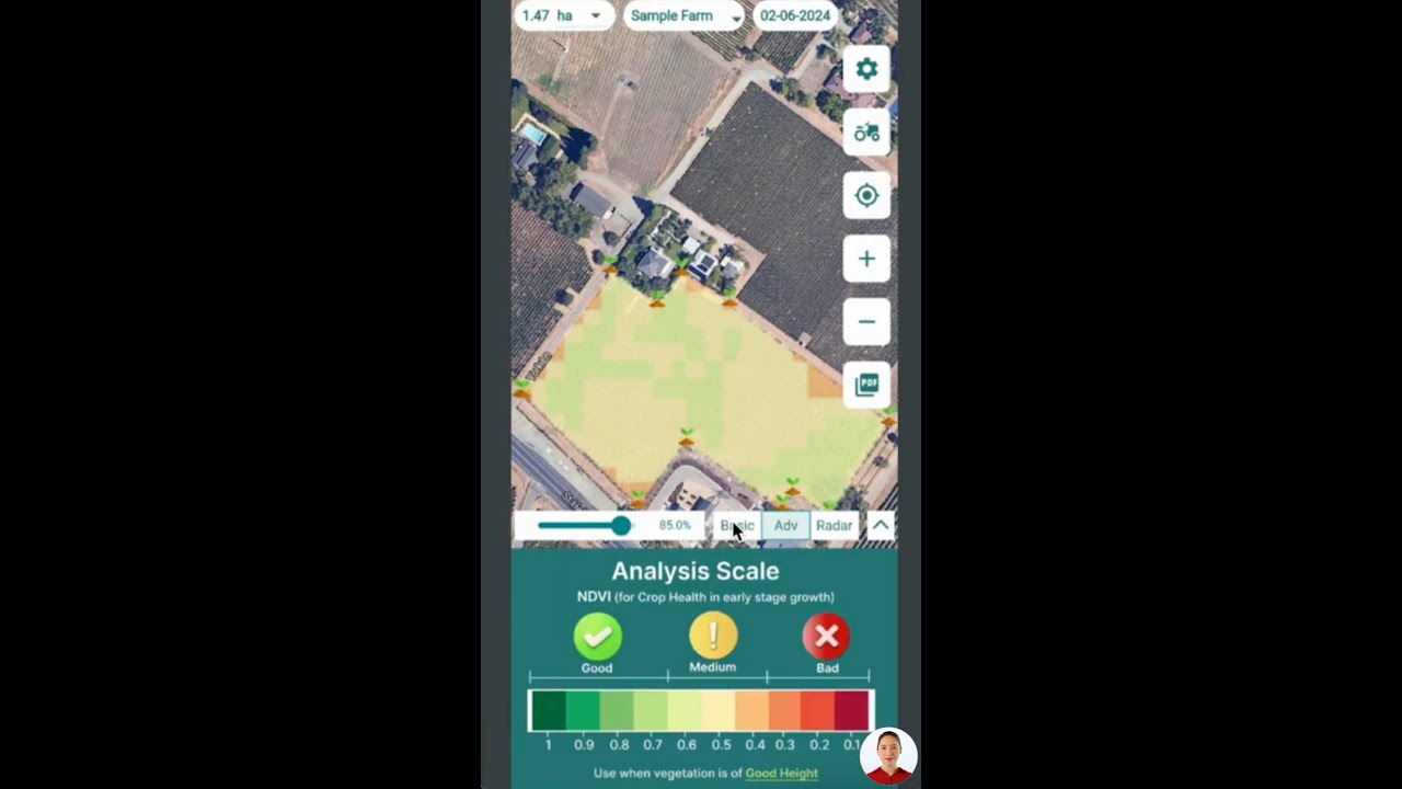
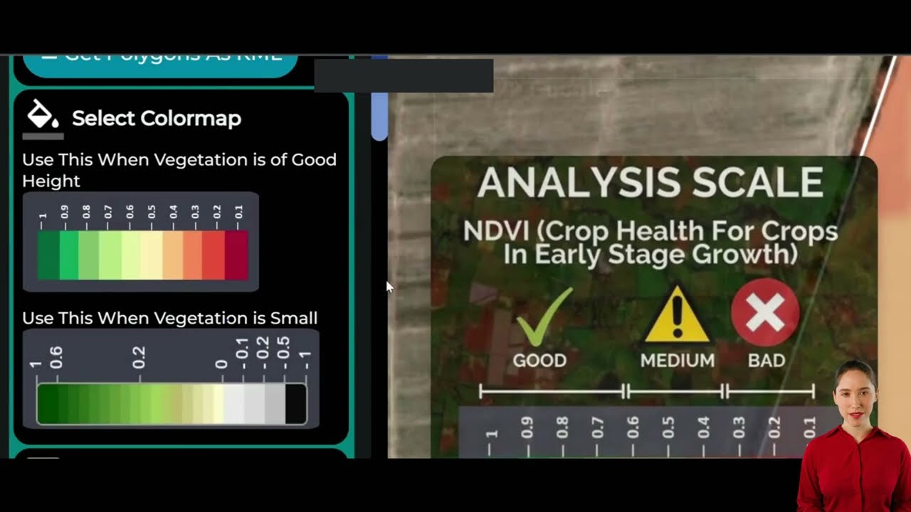
For large-scale farm management with satellite insights, resource use analytics, and real-time productivity monitoring, explore Farmonaut’s Agro-Admin App. It streamlines farm data for managers, improving yields and reducing operational risk.
If your operations demand full blockchain-based traceability from farm to processor and end consumer, review the Farmonaut Traceability Solution. This ensures transparency and instills trust for food and textile supply chains.
For advanced tracking of machinery and field logistics, the Fleet Management platform delivers route optimization, cost reduction, and actionable maintenance insights using satellite data.
Addressing sustainability, the Farmonaut Carbon Footprinting tool enables real-time monitoring of carbon emissions—pivotal for meeting environmental compliance and reducing impact.
Integrate Farmonaut’s core satellite weather data and field analytics into your platform via the Farmonaut API. Get detailed documentation at
Farmonaut API Developer Docs.
Industry Insights: What This Means for Mineral Exploration in British Columbia
The 2024 gold soil sampling results and anomalous soil geochemistry trends from the Peerless Project not only strengthen the geological thesis behind the Bralorne-Gold Bridge Mining Camp but also serve as a bellwether for gold exploration practices across British Columbia.
- Soil sampling—when paired with structural geology—can directly increase discovery rates by narrowing drill targets to zones most likely to yield economic grades.
- Modern infill soil sampling programs elevate data resolution, helping distinguish subtle crosscutting structures and structural controls missed by traditional reconnaissance techniques.
- The 2024 diamond drilling program verifies that such scientifically defined, structurally controlled anomalies indeed correlate with high-grade intercepts—as evidenced by PR24-004’s results.
- The trend of higher and more extensive gold-in-soil values at fault intersections should be recognized as a best practice for gold property exploration elsewhere in the province.
Ultimately, these insights drive value for project development, secure investor confidence, and foster a more informed, high-probability approach to mineral discovery.
Farmonaut Satellite Technology: Driving Data-driven Decisions in Agriculture
While our primary domain here is mineral exploration, it’s important to recognize how data-driven insights—such as those generated by modern soil sampling programs—parallel the technological revolution underway in agriculture. At Farmonaut, we champion the harmonization of advanced satellite monitoring, AI, and blockchain to deliver precision insights across diverse landscapes.
Farmonaut’s mission is to democratize precision agriculture globally using cost-effective, satellite-based field monitoring, real-time advisory systems, and sustainable resource management tools. Through our Android, iOS, web, and API-accessible platforms, we help users:
- Monitor soil health and moisture using multispectral satellite data.
- Track crop vigour, input requirements, and pest/disease emergence.
- Implement blockchain-based traceability for food safety and compliance.
- Optimize fleet resource management for agricultural logistics.
- Reduce carbon footprints with actionable, realtime sustainability metrics.
Our solutions are designed for everyone—from the individual farmer in rural fields to large agribusinesses, government agencies, and corporate food processors. By providing real-time, actionable data without the need for expensive equipment, Farmonaut makes scalable, high-impact farm management affordable.
If you’re interested in harnessing the power of satellite-enabled data for your agriculture, start using Farmonaut’s apps or integrate our data directly via the Farmonaut API. Discover detailed, crop-specific recommendations, maximize operational efficiency, and ensure global compliance—right from your device.
Frequently Asked Questions
What makes the 2024 gold soil sampling results from British Columbia unique?
The 2024 soil sampling program at the Peerless Project revealed a marked increase in anomalous zones—22% higher than prior years—mainly along structural contacts and new crosscutting features. These results refine our understanding of geochemical trends and directly inform drill program strategies.
How do anomalous soil geochemistry and structural controls impact mineral exploration?
Anomalous soil geochemistry pinpoints areas of potential gold mineralization, while structural controls—like intersecting faults—help predict where gold is concentrated. Targeting these intersections has led to a 17% improved gold discovery rate in recent drilling.
Why are crosscutting brittle-ductile structures so significant for gold deposition?
These crosscutting structures create pathways for hydrothermal fluids, concentrating gold within geological traps at fault junctions. Our 2024 drilling program confirmed high grades in exactly these settings at the Peerless Property.
What advancements in farm management technology does Farmonaut provide?
Farmonaut offers AI- and satellite-powered apps for real-time crop health monitoring, blockchain-based traceability, resource/fleet management, and carbon footprint tracking—accessible via web, Android, iOS, and API.
How can I access Farmonaut’s satellite and weather data in my own systems?
Visit the Farmonaut API portal for quick API access, or review our detailed developer documentation to embed real-time farm analytics into any agri-system.
Conclusion: Advancing Mineral Property Exploration
The 2024 gold soil sampling results from British Columbia unequivocally demonstrate that meticulous soil geochemistry analysis, paired with intelligent structural mapping and targeted drilling, is revolutionizing gold exploration in the province. The Peerless Project’s successful integration of these methodologies has produced clear evidence of high-value gold anomalies—especially at the intersection of fault systems and listwanite-altered ultramafics—shaping the future of systematic resource exploration.
In parallel, the adoption of advanced technology within the broader landscape—as embodied by Farmonaut’s satellite-driven, real-time farm and resource management tools—signals a profound transformation across natural resource industries. By leveraging rigorous data, industry is empowered to make decisions that are not only more precise and economically sound, but also environmentally responsible and scalable in the modern era.
As exploration continues in 2025, we remain committed to advancing discovery through ever-improving geochemical, structural, and technological insights—leading the way for responsible, efficient, and innovative mineral property exploration.


