Revolutionizing Agriculture: How Farmonaut is Empowering Farmers with Satellite Technology
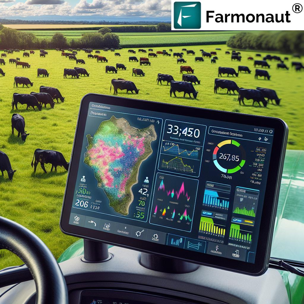
In the ever-evolving landscape of agriculture, technology continues to play a pivotal role in shaping the future of farming. At Farmonaut, we are at the forefront of this revolution, committed to empowering the farming community through the innovative use of satellite data. Our mission is clear: to create and advance accessible technology that aids farmers in understanding their crop health, identifying appropriate fertilizer requirements, detecting pests and diseases, and comprehending irrigation needs.
The Farmonaut Advantage: Bridging the Gap Between Farmers and Satellite Technology
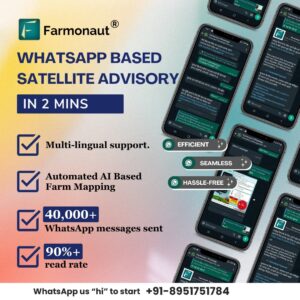
We’ve developed a groundbreaking approach to connect farmers with the vast potential of satellite technology. Our unique, WhatsApp-based satellite advisory system is a testament to our commitment to making cutting-edge technology easily accessible to farmers. This innovative service is powered by Farmonaut’s exclusive AI-based farm boundary detection system, allowing us to geotag farms and establish a connection with satellites in just two minutes.
This system represents a paradigm shift in modern farming, creating a new standard for how farmers can access and utilize advanced technology. By simplifying the process and making it accessible through a widely used platform like WhatsApp, we’re ensuring that farmers of all backgrounds can benefit from the power of satellite data.
The Power of Satellite Data in Agriculture
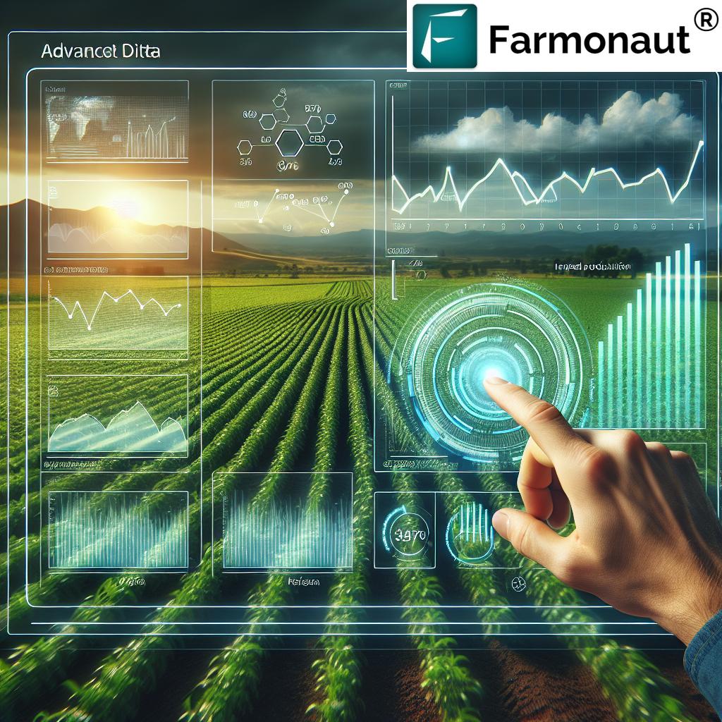
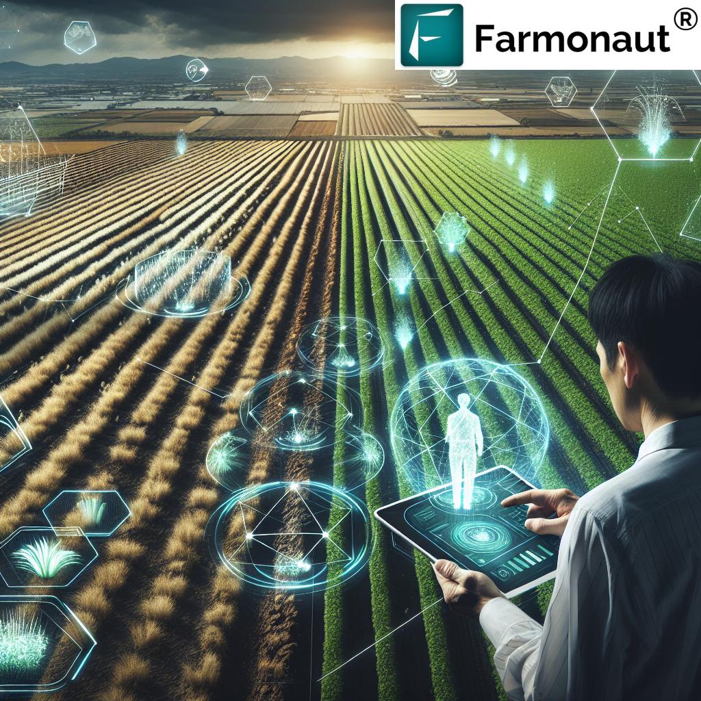
Satellite data has emerged as a game-changer in the agricultural sector. At Farmonaut, we harness this technology to provide farmers with invaluable insights into their fields. Here’s how satellite data is transforming farming practices:
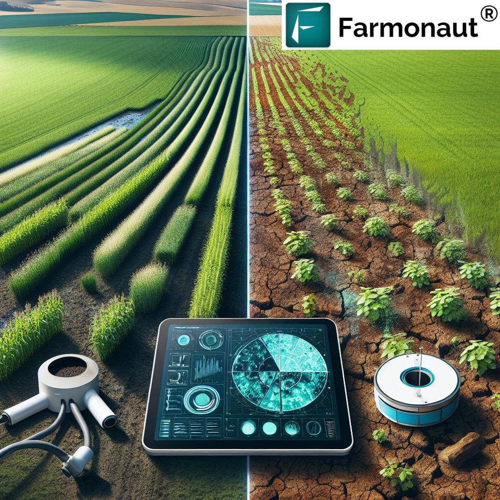
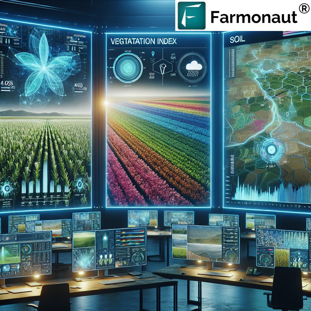
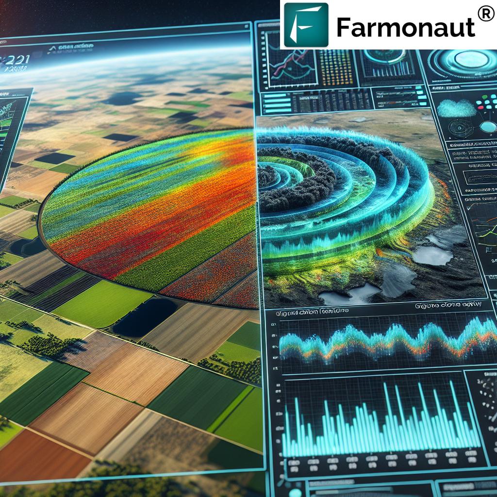
- Crop Health Monitoring: Our satellite imagery allows farmers to assess the health of their crops remotely. By analyzing vegetation indices like NDVI (Normalized Difference Vegetation Index), we can detect early signs of stress in crops, enabling timely interventions.
- Precision Agriculture: Satellite data helps in creating precise maps of field variability, allowing for targeted application of inputs like fertilizers and pesticides. This not only optimizes resource use but also minimizes environmental impact.
- Yield Prediction: By analyzing historical and current satellite data, we can provide accurate yield predictions, helping farmers make informed decisions about harvesting and marketing their produce.
- Water Management: Satellite-derived data on soil moisture and evapotranspiration rates aids in efficient irrigation planning, ensuring optimal water usage.
- Climate Resilience: Long-term satellite data helps in understanding climate patterns and their impact on agriculture, enabling farmers to adapt their practices for better resilience.
Farmonaut’s AI-Powered Farm Boundary Detection: A Technological Breakthrough
One of the key innovations that sets Farmonaut apart is our AI-based farm boundary detection system. This technology is crucial in accurately mapping and monitoring agricultural land. Here’s why it’s so important:
- Precision: Our AI algorithms can accurately delineate farm boundaries, even in complex landscapes with irregular shapes or mixed land use.
- Efficiency: Traditional methods of farm boundary mapping are time-consuming and labor-intensive. Our system can process vast areas quickly and efficiently.
- Scalability: Whether it’s a small family farm or a large agricultural enterprise, our system can handle farms of all sizes.
- Integration: The boundary data seamlessly integrates with our other satellite-based services, providing a comprehensive view of each farm.
- Temporal Analysis: By regularly updating boundary data, we can track changes in land use and farm sizes over time, providing valuable insights for agricultural planning and policy-making.
Geotagging Farms: Connecting Earth and Sky
The process of geotagging farms is a crucial step in our satellite-based advisory system. Here’s how it works and why it’s so important:
- Precise Location: Geotagging assigns specific geographic coordinates to each farm, ensuring that the satellite data we provide is accurately matched to the correct location.
- Easy Identification: With geotagged farms, farmers can easily identify and monitor their fields using our mobile app or WhatsApp service.
- Historical Tracking: Geotagging allows for the creation of a historical record of farm data, enabling long-term analysis of crop performance and land use changes.
- Improved Communication: In cases where farmers need additional support or advice, geotagged information makes it easier for our team to provide targeted assistance.
- Integration with Other Services: Geotagged farm data can be easily integrated with other agricultural services, such as weather forecasts or market information systems.
Revolutionizing Crop Health Monitoring
At the heart of Farmonaut’s mission is our commitment to helping farmers understand and improve their crop health. Our satellite-based system offers several advantages in this area:
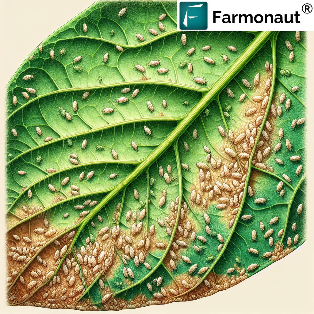
- Early Detection of Issues: By regularly analyzing satellite imagery, we can detect potential problems such as pest infestations, diseases, or nutrient deficiencies before they become visible to the naked eye.
- Comprehensive Coverage: Unlike ground-based observations, which can be time-consuming and may miss issues in large fields, our satellite system provides a comprehensive view of the entire farm.
- Temporal Analysis: We can track changes in crop health over time, allowing farmers to understand the impact of their management practices and environmental factors.
- Customized Advice: Based on the crop health data, we provide tailored recommendations for fertilizer application, pest control, and irrigation.
- Yield Optimization: By maintaining optimal crop health throughout the growing season, farmers can maximize their yields and improve the quality of their produce.
Smart Farming: The Future of Agriculture
Smart farming is more than just a buzzword – it’s a comprehensive approach to agriculture that leverages technology to optimize farm operations. At Farmonaut, we’re at the forefront of this agricultural revolution. Here’s how our technology contributes to smart farming practices:
- Data-Driven Decision Making: Our satellite-based system provides farmers with a wealth of data about their crops and land, enabling them to make informed decisions based on real-time information.
- Resource Optimization: By providing precise information about crop needs, we help farmers optimize their use of water, fertilizers, and pesticides, reducing waste and environmental impact.
- Time and Labor Savings: Our technology reduces the need for manual field scouting, saving farmers time and labor costs.
- Predictive Analytics: By analyzing historical data and current conditions, we can help farmers anticipate potential issues and take preventive measures.
- Integration with Other Technologies: Our system can be integrated with other smart farming technologies, such as IoT sensors or automated irrigation systems, for a comprehensive farm management approach.
Farmonaut’s WhatsApp-Based Advisory System: Bringing Technology to Every Farmer’s Fingertips
One of our most innovative features is our WhatsApp-based satellite advisory system. This system exemplifies our commitment to making advanced agricultural technology accessible to all farmers, regardless of their technical expertise or access to sophisticated equipment. Here’s how it works and why it’s so revolutionary:
- Ease of Use: Farmers can access our satellite-based insights through WhatsApp, a platform they’re already familiar with and use daily.
- No Additional Software Required: There’s no need to download or learn a new app – everything is accessible through WhatsApp.
- Real-Time Updates: Farmers receive timely updates about their crops directly on their phones, allowing for quick decision-making.
- Two-Way Communication: The system allows farmers to ask questions and receive personalized advice from our team of experts.
- Language Support: We offer support in multiple languages, ensuring that language barriers don’t prevent farmers from benefiting from our technology.
Comparison: Farmonaut Satellite System vs. Drone and IoT-Based Farm Monitoring
| Feature | Farmonaut Satellite System | Drone-Based Monitoring | IoT-Based Monitoring |
|---|---|---|---|
| Coverage Area | Large scale (Entire farms) | Limited (Depends on flight time) | Limited (Depends on sensor placement) |
| Cost | Low (Subscription-based) | High (Equipment + Operation) | Medium to High (Sensors + Maintenance) |
| Frequency of Data | Regular (Based on satellite passes) | On-demand (Limited by operations) | Continuous (Real-time) |
| Ease of Use | High (No equipment needed) | Low (Requires skilled operator) | Medium (Requires setup and maintenance) |
| Weather Dependency | Low (Can penetrate clouds) | High (Cannot operate in bad weather) | Low (Operates in all weather) |
| Data Analysis | Advanced (AI-powered) | Moderate to Advanced | Basic to Advanced |
| Scalability | High (Can monitor multiple farms) | Low (Limited by operational capacity) | Moderate (Requires additional sensors) |
The Future of Farming with Farmonaut
As we look to the future, we at Farmonaut are excited about the possibilities that lie ahead. We’re constantly working on improving our technology and expanding our services to meet the evolving needs of farmers. Here are some areas we’re focusing on:
- Enhanced AI Capabilities: We’re developing more advanced AI algorithms to provide even more accurate and detailed insights into crop health and farm management.
- Integration with IoT: While our satellite-based system is powerful on its own, we’re exploring ways to integrate it with IoT sensors for even more comprehensive farm monitoring.
- Climate Change Adaptation: We’re developing tools to help farmers adapt to changing climate patterns, ensuring sustainable agriculture in the face of environmental challenges.
- Blockchain for Traceability: We’re working on implementing blockchain technology to enhance traceability in the agricultural supply chain, benefiting both farmers and consumers.
- Expanded Advisory Services: We’re continually expanding our team of agricultural experts to provide more comprehensive and specialized advice to farmers.
Join the Farmonaut Revolution
At Farmonaut, we believe that every farmer deserves access to the best technology and insights to improve their farming practices. Whether you’re a small-scale farmer or managing large agricultural operations, our satellite-based system can help you optimize your farm’s performance.
Ready to transform your farming practices? Here’s how you can get started with Farmonaut:
- Download our mobile app:
- Explore our web application: Farmonaut Web App
- Check out our API for developers: Farmonaut API
- Learn more about our weather API: Farmonaut Weather API Docs
Join us in revolutionizing agriculture. With Farmonaut, the future of farming is here, and it’s accessible to all.
Subscribe to Farmonaut
Frequently Asked Questions (FAQ)
Q: How accurate is Farmonaut’s satellite data?
A: Our satellite data is highly accurate, with resolution down to 10 meters. We use a combination of different satellite sources and advanced processing algorithms to ensure the highest possible accuracy.
Q: How often is the satellite data updated?
A: The frequency of updates depends on the specific service package, but typically ranges from daily to weekly updates. Some specialized services may offer even more frequent updates.
Q: Can Farmonaut’s system work for small farms?
A: Absolutely! Our system is designed to work for farms of all sizes, from small family plots to large commercial operations.
Q: Do I need any special equipment to use Farmonaut’s services?
A: No special equipment is needed. All you need is a smartphone with WhatsApp installed to receive our basic advisory services. For more advanced features, you can use our mobile app or web application.
Q: In what languages is Farmonaut available?
A: We currently offer our services in multiple Indian languages as well as English. We’re constantly working on adding support for more languages.
Q: How does Farmonaut’s pricing work?
A: We offer flexible, subscription-based pricing models that vary based on the size of the farm and the level of services required. Please check our pricing table above for more details.
Q: Can Farmonaut integrate with other farm management software?
A: Yes, we offer API access that allows for integration with other farm management tools. Our team can work with you to ensure smooth integration with your existing systems.
Q: How does Farmonaut ensure data privacy and security?
A: We take data privacy very seriously. All farm data is encrypted and stored securely. We never share individual farm data without explicit permission from the farmer.
Q: Can Farmonaut’s system detect specific crop diseases?
A: While our system can detect signs of crop stress that may indicate disease, identifying specific diseases often requires additional on-ground verification. Our system can alert you to potential issues early, allowing for timely intervention.
Q: How can I get technical support if I have issues with the Farmonaut system?
A: We offer customer support through multiple channels, including in-app chat, email, and phone support. Our team is always ready to assist you with any questions or issues you may have.
At Farmonaut, we’re committed to revolutionizing agriculture through accessible, innovative technology. Join us in shaping the future of farming – where data-driven insights meet traditional agricultural wisdom, creating a more sustainable and productive future for all.


