
Best Moisture Mapping Services: 7 Game-Changers Revealed!
“Satellite-based soil moisture mapping can improve irrigation efficiency by up to 30% in precision agriculture.”
Table of Contents
- Introduction to Soil Moisture Mapping
- Why Accurate Soil Moisture Mapping Matters
- Satellite-Based Soil Moisture Mapping
- Drone & Ground-Based Soil Moisture Mapping
- GeoAI & Machine Learning in Soil Moisture Mapping
- Integrated Soil Moisture Monitoring Solutions
- Precision Soil Moisture Management
- Comparison Table of Top Moisture Mapping Services & Technologies
- How to Choose the Best Moisture Mapping Service
- Why Farmonaut is a Leader in Advanced Moisture Mapping
- Frequently Asked Questions (FAQ)
- Conclusion
Introduction to Soil Moisture Mapping
Welcome to the era of precision agriculture technology—where soil moisture mapping is transforming the way we manage, irrigate, and sustain our farmlands. As global food demands rise and environmental constraints tighten, understanding our soil’s water content is more crucial than ever. With the latest advancements in satellite data, drone imagery, AI, and machine learning, we’re now able to generate accurate, high-resolution soil moisture maps at an unprecedented scale.
In this comprehensive guide, we’ll explore how these innovative services enable farmers, agribusinesses, and policymakers to optimize their operations. We’ll dissect 7 game-changing soil moisture mapping services and technologies, comparing their features, accuracy, cost, and sustainability impact. Whether you operate in a single field or across global supply chains, today’s soil moisture monitoring solutions provide the data-driven edge you need. Let’s dig in!


Why Accurate Soil Moisture Mapping Matters
Soil moisture is the heartbeat of agricultural productivity. Accurate moisture mapping delivers remarkable benefits:
- Optimized Irrigation: Matching water applications to actual soil needs slashes waste and maximizes crop health.
- Yield Enhancement: Precise water management leads directly to higher, more consistent yields across seasons.
- Sustainable Practices: Efficient use of water, energy, and fertilizers means smaller environmental footprints and healthier local ecosystems.
- Climate Resilience: Proactive responses to drought, rain, or unpredictable weather, using real-time data, reduce risk and boost farm profitability.
Advancements in soil moisture mapping technology have introduced a wealth of unique features, each tailored to the specific needs of modern agriculture. Next, let’s unravel the 7 key technologies & services redefining how we monitor, map, and manage moisture in agriculture.
Satellite-Based Soil Moisture Mapping
Satellite soil moisture data is revolutionizing large-scale agricultural monitoring. By using remote sensing, advanced algorithms, and spatial analytics, satellites collect regular data on millions of hectares—even through cloud, fog, and thick vegetation covers. Here are the top satellite-based mapping services empowering global agriculture:
1. Terra Motus (Official Site)
- Technology: Combines satellite remote sensing with AI and machine learning algorithms
- Resolution: Provides high-resolution soil moisture maps down to the meter scale
- Coverage & Weather Resilience: Operates in all conditions—rain, fog, and cloud
- Key Feature: Penetrates surface obstacles, enabling localized crop management even under dense cover
Terra Motus is a prime example of how advanced algorithms and regular data updates can change large-scale farm management decisions, facilitating efficient monitoring of extensive agricultural areas.
2. Soil Moisture Active Passive (SMAP) (NASA Mission Profile)
- Technology: Nasa Earth observation satellite; employs radar and radiometer
- Coverage: Near-global, updated every 2 to 3 days
- Key Use Cases: Assisting hydrologists, forecasters, climate scientists, and agricultural managers
- Temporal Benefits: Regularly updated soil moisture data supports both immediate farm operations and long-term climate trends analysis
SMAP’s active passive sensors offer invaluable time-series soil moisture data for both surface and subsurface layers. This increases our ability to plan irrigation around dynamic weather and climate conditions.
3. EOSDA Crop Monitoring (EOSDA Platform)
- Technology: Analyzes multi-temporal satellite imagery for surface and root-level moisture
- Resolution: High spatial resolution at 250 meters, daily updates, and historical data extending back to 2002
- Analytics: Supports yield estimations and studies climate change trends
- Practical Use: Enables real-time crop monitoring and accurate yield prediction for all types of agricultural managers
By combining historical trends with real-time insights, EOSDA’s service empowers both seasonal planning and rapid, day-to-day farm management.

Comparison Table of Top Moisture Mapping Services & Technologies
| Service/Technology Name | Technology Type | Estimated Accuracy (%) | Coverage Area (hectares) | Implementation Cost | Data Update Frequency | Key Benefits | Sustainability Impact |
|---|---|---|---|---|---|---|---|
| Terra Motus | Satellite, ML algorithms | 85-95 | 1,000s (meter scale mapping) | $$ | High (daily/meter-scale) | High spatial/temporal res., all-weather | 🌱🌱🌱🌱🌱 |
| SMAP (NASA) | Satellite/radar & radiometer | 80-90 | Global (10,000+ ha) | $ | 2-3 days | Global trends, research-grade | 🌱🌱🌱🌱 |
| EOSDA Crop Monitoring | Satellite analytics | 80-93 | 10,000+ ha | $$ | Daily | Yield estimation, climate analytics | 🌱🌱🌱🌱🌱 |
| TerraRad Tech | Drone-based radiometers | 90-98 | 10–1,000 ha | $$$ | On-demand/real-time | Localized, high-res, precise | 🌱🌱🌱🌱 |
| Finapp | Ground-based & mobile sensors | 93-99 | 1–500 ha | $$-$$$ | Customizable | Variable rate irrigation, flexibility | 🌱🌱🌱🌱🌱 |
| GeoAI Platforms | Machine learning, spatial analytics | 85-95 | Regional to national | $$ | Daily/Custom | Data fusion, predictive models | 🌱🌱🌱🌱🌱 |
| SoMo.ml | ML (Global in-situ dataset) | 80-89 | Global (0.25° grid) | $ | Daily | Multi-layer, long-term, low-cost | 🌱🌱🌱🌱 |
| Farmonaut Water Vapor Imagery | AI & Satellite Platform | 90-96 | Scalable (farm to national) | $-$$ | Real-time/alerts | Atmospheric monitoring, AI-advisory | 🌱🌱🌱🌱🌱 |
| SWAT Water (Croptimistic) | Field mapping, hydrology analysis | 88-96 | Field to regional | $$-$$$ | Custom/scheduled | Hydrological mapping, precision mgmt | 🌱🌱🌱🌱 |
“Advanced moisture mapping technologies can increase crop yields by as much as 20% through optimized water management.”
Drone & Ground-Based Soil Moisture Mapping
Not all soil moisture mapping is done from orbit. Many agricultural regions benefit from localized, drone-based, or ground sensor approaches. Here’s how drone-based soil moisture mapping and ground-level sensing empower precision and efficiency:
4. TerraRad Tech (Startup Insights)
- Technology: Swiss-engineered radiometers mounted on drones, tractors, and mobile platforms.
- Uniqueness: Distinguishes between soil and crop water content, providing granular information for precision irrigation
- Benefits: Water conservation, yield enhancement, and farm sustainability
- Applications: Works best for advanced irrigation management, field-by-field mapping, and variable-rate irrigation
5. Finapp’s Soil Moisture Mapping (Finapp Tech)
- Technology: Portable probes integrate with GPS and agricultural machinery
- Capabilities: Enables meter-by-meter moisture mapping in real time
- Key Advantage: Ideal for variable rate irrigation systems and fine-tuning water applications
These localized solutions are optimal for precision agriculture in smaller or heterogeneous fields. They offer actionable, site-specific data for advanced irrigation management.

GeoAI & Machine Learning in Soil Moisture Mapping
In the digital era, GeoAI and machine learning techniques are rapidly enhancing the accuracy, prediction, and efficiency of moisture mapping across all agricultural systems. Advanced data analytics can uncover complex spatial and temporal patterns–empowering smart decisions for the future.
6. GeoAI for Smart Agriculture (TechGEO Mapping) (TechGeo Platform)
- How It Works: Integrates spatially distributed data from multiple sources using AI-driven analytics
- Outcomes: Real-time, high-resolution soil moisture maps, improved predictive models, and customized farm management advice
- Sustainability: Promotes sustainable farming practices by optimizing resource allocation and minimizing environmental impacts
7. SoMo.ml (Global ML Dataset) (Research Paper)
- Technology: Machine learning on 2000-2019 global soil moisture measurements
- Spatial Coverage: 0.25° spatial resolution, with daily global updates
- Use Cases: Large-scale hydrological and meteorological research, as well as macro-level agricultural trend analysis
Integrated Soil Moisture Monitoring Solutions
To fully realize the power of soil moisture mapping, the best platforms integrate advanced satellite, AI, advisory, and analytics tools into a unified suite. This empowers real-time crop monitoring, rapid alerts, and precise decision-making—all from a single dashboard.
Farmonaut’s Water Vapor Satellite Imagery
- Technology: Integrates water vapor satellite images, AI-based advisory, and smart alerts
- What Makes It Unique: Offers real-time atmospheric moisture monitoring for proactive irrigation and disease risk management
- Integration: Pairs seamlessly with crop health maps, resource management, and blockchain traceability tools
- Accessibility: Available via web, Android, iOS apps, and API integration
This integrated solution ensures that farmers, cooperatives, and agri-enterprises of every scale have actionable data at their fingertips. For those managing large regions or multiple farms, see Farmonaut’s Large-Scale Farm Management App—an essential tool for actionable insight, organization, and oversight.
Precision Soil Moisture Management: The SWAT Water Advantage
Modern precision agriculture depends not only on monitoring soil moisture, but also on understanding its spatial and temporal variability. Enter SWAT Water by Croptimistic Technology:
- What It Does: Maps moisture variability spatially (across fields), vertically (at different soil depths), and temporally (as seasons change)
- Hydrology Insights: Shows runoff pathways, drainage zones, and flow accumulation
- Advanced Crop Management: Informs variable-rate irrigation, nitrogen side-dressing, and high-level field design
By tying in multi-year moisture data, SWAT Water enables long-term adaptation, resilience, and sustainability—directly improving both yield and input efficiency.
How to Choose the Best Moisture Mapping Service For Your Needs
Selecting the right soil moisture mapping solution depends on a handful of crucial criteria. Let us break down the key questions:
- What Is Your Scale? Do you manage a single farm, a large group, or perhaps national-level agricultural areas? Satellite platforms (like Farmonaut, EOSDA, SMAP) offer broadest reach, while drone/ground sensors suit smaller, high-value zones.
- How Much Resolution? Field-level or pixel-accurate decisions demand high-resolution soil moisture maps (like Terra Motus, TerraRad). For studies or general trends, lower resolutions may suffice (SoMo.ml, SMAP).
- How Frequently Do You Need Data? Real-time crop monitoring is ideal for active irrigation and risk mitigation (Farmonaut, Finapp, TerraRad). For research or season planning, weekly or monthly updates may be enough.
- Budget & Implementation: Consider up-front hardware requirements (drones/probes) versus software-as-a-service options (satellite/API/app-based). Farmonaut’s subscription model delivers professional insights at a fraction of in-field tech costs.
- Integration Capabilities: Can your chosen service link with AI advisory, traceability, carbon footprinting, and other crop management tools? Farmonaut, for example, excels at seamless platform integration (carbon tracking, traceability, fleet management).
- Sustainability & Compliance: Does your operation require formal documentation for environmental compliance (carbon credits, fair trade, organic certification)? Modern, integrated data platforms make reporting and transparency simple.
Remember: In precision agriculture, the right moisture mapping service is a multiplier—cutting costs, raising yield, and preserving our agricultural future.
Why Farmonaut is a Leader in Advanced Moisture Mapping
Farmonaut stands at the forefront of precision agriculture technology, offering farmers, agribusinesses, and government decision-makers access to state-of-the-art, affordable, and scalable soil moisture mapping solutions. Here’s why we believe Farmonaut is the ideal choice for diverse agricultural needs:
- Satellite-Powered Moisture Analytics: Farmonaut’s platform delivers real-time soil moisture mapping using multispectral satellite data. Farmers can monitor crop health, optimize irrigation, and prevent water stress—all from a single, intuitive dashboard.
- Accessible Anywhere: Our platform is available as Android and iOS apps, web interface, and direct API access (API Docs), ensuring farmers can make rapid decisions—even from the field, office, or on-the-go.
- Comprehensive Precision Farming Toolkit: With AI-based recommendations (via Jeevn AI), blockchain-powered traceability (details here), and real-time weather tracking, Farmonaut users have everything they need to boost yields and improve sustainability.
- Affordability & Scalability: No expensive hardware is required—Farmonaut’s subscription-based model provides cost-effective access for farms of any size. Start with one field or thousands of hectares, and scale as you grow.
- Sustainability + Traceability: Meet compliance requirements with our carbon footprinting tools (learn more) and ensure ethical supply chains.
- Resource & Fleet Management: The Farmonaut suite even includes fleet management tools for optimizing tractors, harvesters, and other farm machinery—reducing costs and improving safety.
- Agro-Admin (Large-Scale Farm Management): Managing multiple operations? Agro-Admin is built for cooperatives and agribusinesses seeking streamlined, integrated oversight.
- Risk Reduction for Financial Services: Crop loan and insurance management is powered by satellite-based verification—reducing fraud, accelerating approvals, and empowering farmers.
- Blockchain Traceability: Guarantee supply chain transparency and consumer trust with end-to-end tracking.
- Easy Subscription: See Farmonaut’s flexible pricing below to start precision farming today.
Reach a new level of efficiency, yield, and sustainability with Farmonaut’s precision agriculture technology.
Frequently Asked Questions (FAQ) on Soil Moisture Mapping Services
What is soil moisture mapping and why is it important?
Soil moisture mapping is the process of measuring and visualizing the water content within the soil across fields or regions. It helps farmers and managers make informed irrigation and crop management decisions, improving yield, conserving resources, and sustaining healthy agricultural ecosystems.
Which technology provides the most accurate soil moisture data?
Ground-based sensors (such as those used by Finapp or TerraRad) typically offer the highest accuracy for localized measurements. However, the latest satellite-based technologies (e.g., Farmonaut, Terra Motus, EOSDA) now provide high-resolution maps and daily updates with >90% accuracy on a broad scale.
How often is soil moisture data updated by these services?
Frequency varies: Some platforms provide real-time or daily updates (Farmonaut, EOSDA, Finapp), while others update on a 2–3 day (SMAP) or custom schedule (drone-based, SWAT Water).
Is satellite-based soil moisture mapping suitable for all farm sizes?
Yes! Whether you manage a small field or vast agricultural estates, satellite-based solutions are scalable and offer actionable insights at any level. Farmonaut’s flexible plans and app interfaces cater to individual farmers, cooperatives, and enterprises.
Can moisture mapping help with climate adaptation and sustainability?
Absolutely. By identifying dryness, over-irrigation, or flood-prone areas, precision moisture mapping enables smarter water usage, reduces energy wastage, and builds resilience against drought and unpredictable weather—core principles of sustainable farming practices.
How can I get started with Farmonaut’s soil moisture mapping solution?
Simply choose the Farmonaut app for your device (web app, Android, or iOS), or explore our API for direct system integration. The platform is designed to be intuitive, scalable, and affordable for farms of any size.
Conclusion: Science-Driven Agriculture for a Sustainable Future
Soil moisture—the invisible force beneath our crops—is now measurable, mappable, and manageable on-demand. Thanks to cutting-edge technologies, remote sensing, and AI, today’s farmers have the tools to optimize irrigation, secure yields, and protect our planet.
From satellite-based analytics (Farmonaut, Terra Motus, SMAP, EOSDA), to localized (TerraRad, Finapp) and data-driven (GeoAI, SWAT Water, SoMo.ml) innovations, farmers worldwide have never been better equipped to make smart, sustainable decisions.
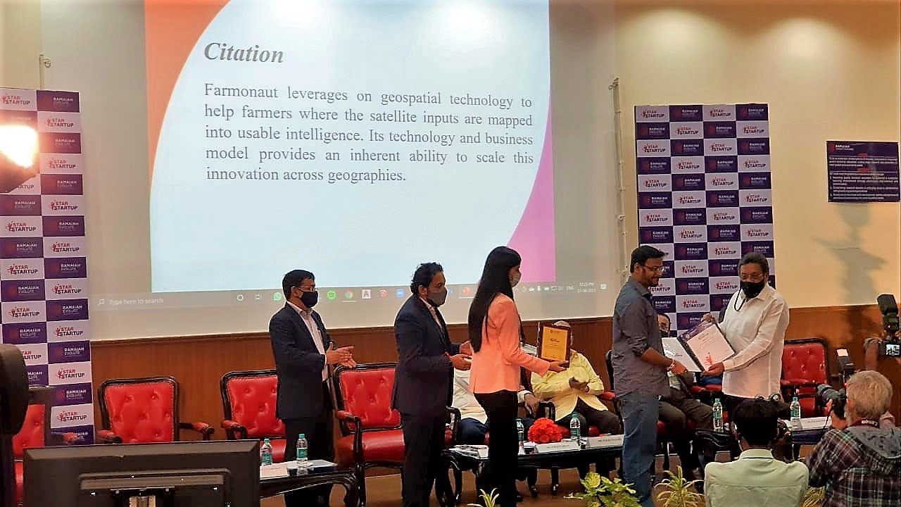
Farmonaut leads this revolution with affordable, integrated, easy-to-use solutions—empowering everyone from individual farmers to national agri-researchers. By leveraging the latest in precision agriculture technology, each of us can play a part in building resilient, productive, and sustainable farming systems for years to come.
Explore the Farmonaut platform and join the movement toward more intelligent, responsible agriculture.


