Revolutionizing Precision Agriculture: Satellite-Driven Crop Management and Yield Prediction with Advanced Remote Sensing Analytics
In the ever-evolving landscape of modern agriculture, we at Farmonaut are at the forefront of a technological revolution that is transforming the way we approach farming. Our cutting-edge satellite-based solutions are paving the way for a new era of precision agriculture, where data-driven insights and advanced analytics are empowering farmers to make informed decisions and optimize their crop management strategies.
The Power of Satellite Imagery in Agriculture
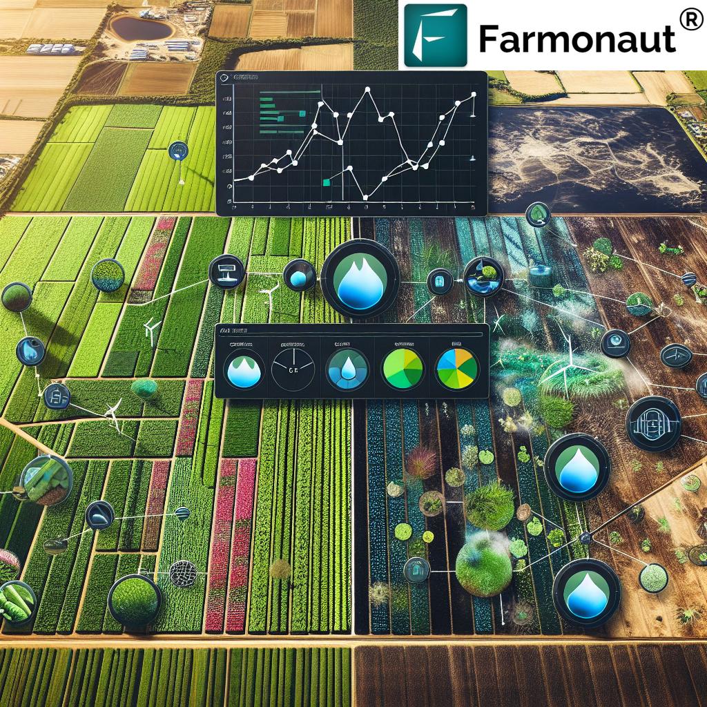
Satellite imagery has become an indispensable tool in modern agriculture, offering unprecedented insights into crop health, soil conditions, and overall farm productivity. By harnessing the power of remote sensing technology, we are able to provide farmers with a comprehensive view of their fields from above, enabling them to identify issues and opportunities that may not be visible from the ground.
Our advanced satellite technology captures multispectral images of agricultural lands, allowing us to analyze various aspects of crop growth and development. These images provide valuable information on:
- Vegetation health and vigor
- Soil moisture levels
- Nutrient deficiencies
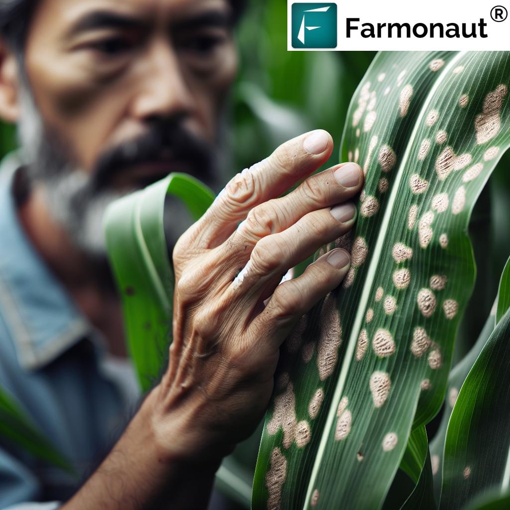
- Pest and disease infestations
- Crop yield potential
Precision Agriculture: A Data-Driven Approach to Farming
Precision agriculture is revolutionizing the way we approach farming by leveraging advanced technologies to optimize resource use and maximize productivity. At the heart of this approach is the integration of satellite data, GIS (Geographic Information Systems), and sophisticated analytics to provide farmers with actionable insights for improved farm management.
Our precision agriculture solutions offer a range of benefits, including:
- Optimized resource allocation
- Reduced environmental impact
- Improved crop yields
- Enhanced decision-making capabilities
- Increased profitability
Advanced Crop Monitoring and Analysis
One of the key components of our precision agriculture platform is our advanced crop monitoring system. By utilizing high-resolution satellite imagery and sophisticated analytics, we provide farmers with real-time insights into the health and performance of their crops.
NDVI: A Powerful Tool for Assessing Crop Health
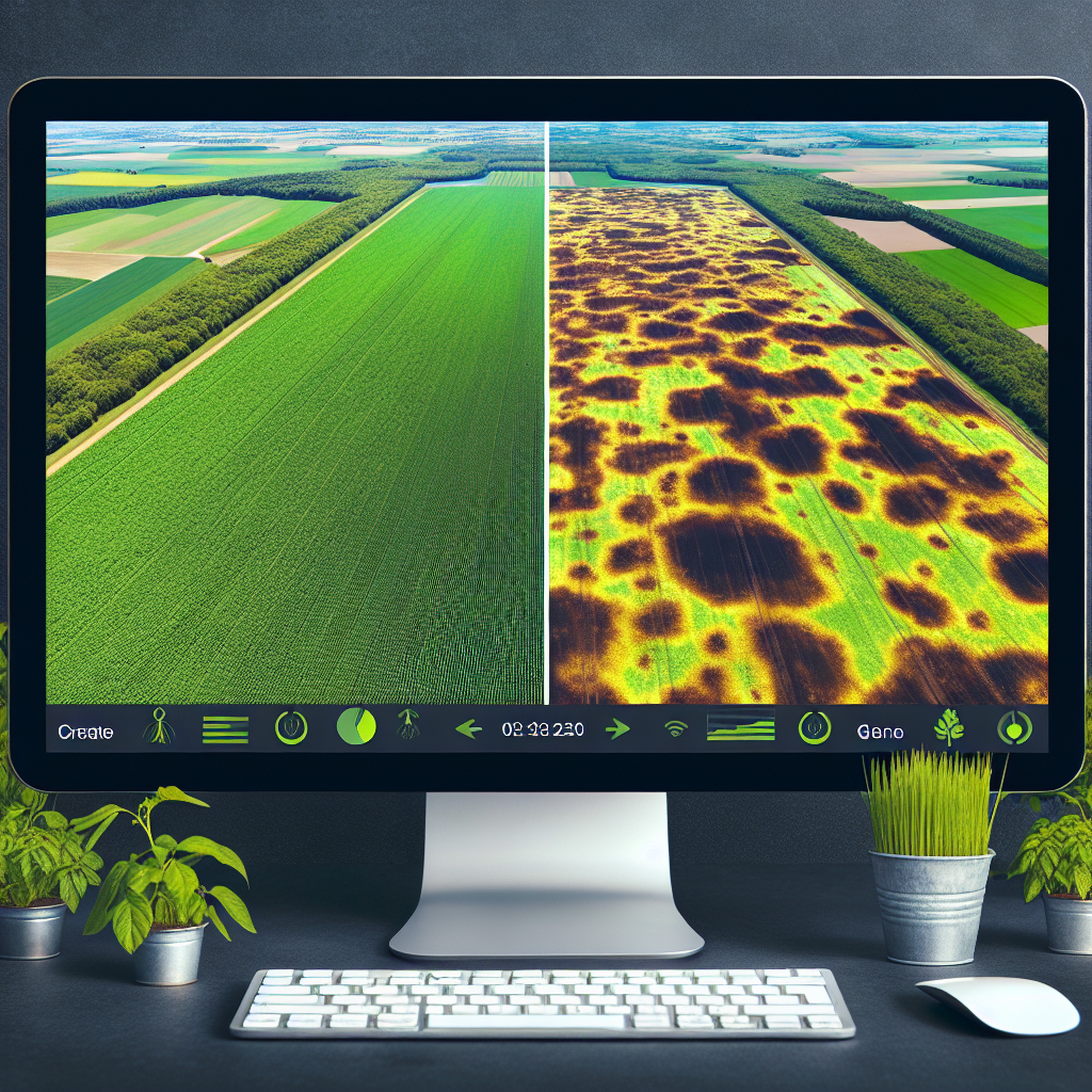
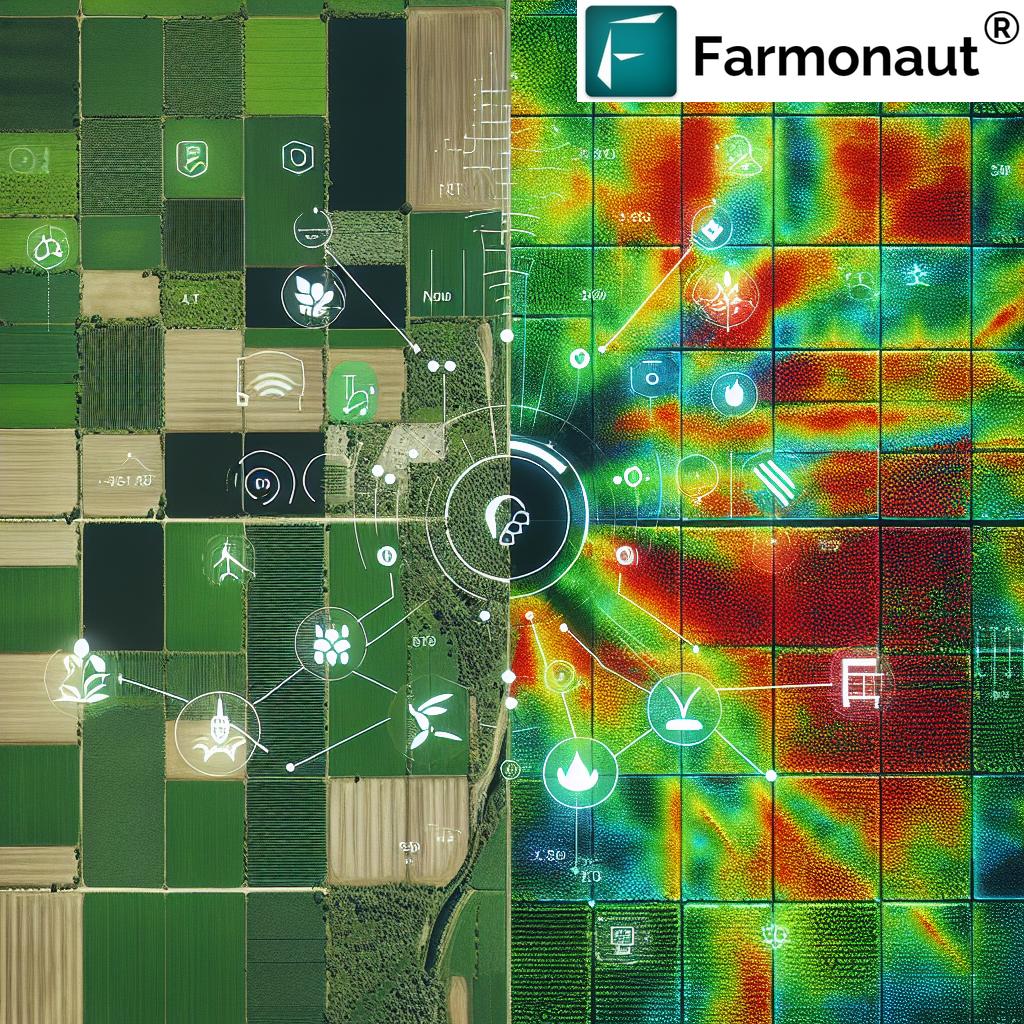
The Normalized Difference Vegetation Index (NDVI) is a crucial metric in our crop monitoring toolkit. This index measures the difference between near-infrared light (which healthy vegetation strongly reflects) and red light (which vegetation absorbs). By analyzing NDVI values, we can assess:
- Crop health and vigor
- Biomass density
- Chlorophyll content
- Potential yield estimates
Our platform provides farmers with easy-to-interpret NDVI maps, allowing them to quickly identify areas of concern and take targeted action to address issues before they escalate.
Soil Moisture Monitoring
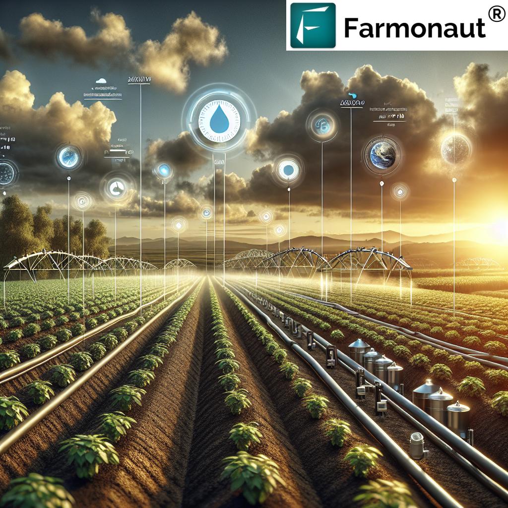
Effective water management is crucial for optimizing crop yields and conserving resources. Our satellite-based soil moisture monitoring system provides farmers with accurate, up-to-date information on soil water content across their fields. This enables them to:
- Make informed irrigation decisions
- Prevent water stress in crops
- Avoid over-irrigation and nutrient leaching
- Improve water use efficiency
Field Boundary Mapping and Management
Accurate field boundary mapping is essential for effective farm management and precision agriculture practices. Our advanced GIS and remote sensing technologies enable us to create precise field boundary maps, providing farmers with a clear understanding of their land assets and helping them to:
- Optimize land use
- Plan crop rotations more effectively
- Improve resource allocation
- Enhance record-keeping and compliance reporting
Yield Prediction and Harvest Planning
Accurate yield prediction is crucial for effective harvest planning and overall farm management. Our advanced analytics platform combines satellite data, historical yield information, weather patterns, and other relevant factors to provide farmers with reliable yield predictions. This enables them to:
- Optimize harvest timing
- Plan logistics and storage requirements
- Make informed marketing decisions
- Improve financial planning and budgeting
Soil Health Analysis and Management
Maintaining optimal soil health is fundamental to sustainable agriculture and maximizing crop yields. Our satellite-based soil analysis tools provide valuable insights into various aspects of soil health, including:
- Organic carbon content
- Nutrient levels
- pH balance
- Soil structure and composition
By leveraging this information, farmers can develop targeted soil management strategies to improve soil fertility, enhance water retention, and promote overall crop health.
Smart Farming: Integrating Agricultural Technology for Optimal Results
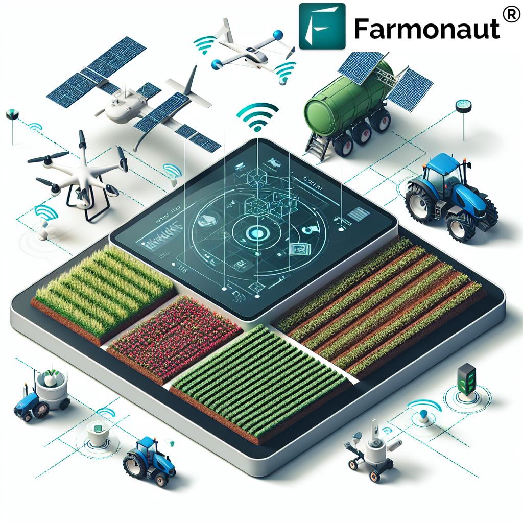
Smart farming represents the convergence of agricultural technology, data analytics, and traditional farming practices to create a more efficient and sustainable approach to food production. Our platform serves as a central hub for integrating various smart farming technologies, including:
- IoT sensors for real-time field monitoring
- Automated irrigation systems
- Weather stations for localized forecasting
- Precision application of inputs (fertilizers, pesticides)
- Farm management software for comprehensive data analysis and decision support
By combining these technologies with our satellite-based insights, we provide farmers with a holistic approach to farm management that optimizes productivity while minimizing environmental impact.
Sustainable Agriculture and Environmental Stewardship
As global concerns about climate change and environmental sustainability continue to grow, the agriculture industry faces increasing pressure to adopt more eco-friendly practices. Our precision agriculture solutions play a crucial role in promoting sustainable farming by:
- Reducing water usage through optimized irrigation
- Minimizing chemical inputs through targeted application
- Improving soil health and reducing erosion
- Enhancing biodiversity through informed land management
- Reducing greenhouse gas emissions through optimized resource use
By providing farmers with the tools and insights they need to make environmentally conscious decisions, we are helping to create a more sustainable future for agriculture.
The Role of Agronomy in Precision Agriculture
Agronomy, the science of soil management and crop production, plays a crucial role in the success of precision agriculture. Our team of expert agronomists works closely with farmers to interpret the data provided by our satellite-based analytics platform and develop tailored management strategies. This integration of agronomic expertise with advanced technology ensures that farmers can make the most of the insights provided by our platform.
Horticulture: Precision Techniques for Specialty Crops
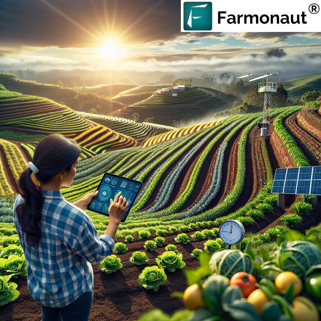
While much of the focus on precision agriculture has been on broad-acre crops, the principles and technologies are equally applicable to horticulture. Our platform provides specialized solutions for horticultural crops, including:
- High-resolution imagery for detecting subtle variations in plant health
- Precise irrigation management for water-sensitive crops
- Early detection of pests and diseases common in horticultural settings
- Yield estimation for fruits and vegetables
- Harvest timing optimization for peak quality and market value
The Future of Farming: Artificial Intelligence and Machine Learning
As we look to the future of agriculture, artificial intelligence (AI) and machine learning are poised to play an increasingly important role in farm management and decision-making. Our platform is continuously evolving to incorporate these cutting-edge technologies, offering features such as:
- Automated crop classification and mapping
- Predictive modeling for pest and disease outbreaks
- AI-driven recommendations for optimal crop rotations and planting schedules
- Advanced yield prediction models that account for a wide range of variables
- Automated detection and classification of crop stress factors
By harnessing the power of AI and machine learning, we are helping farmers to stay ahead of the curve and make increasingly informed decisions about their operations.
Comparing Traditional Farming Methods with Farmonaut’s Satellite-Driven Solutions
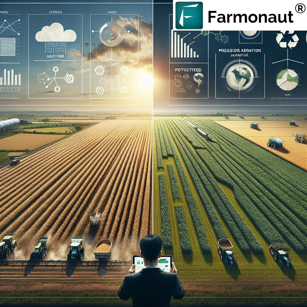
To illustrate the transformative impact of our satellite-driven solutions, let’s compare traditional farming methods with the advanced capabilities offered by Farmonaut:
| Farming Aspect | Traditional Method | Farmonaut Solution | Benefits |
|---|---|---|---|
| Crop Monitoring | Manual field scouting, time-consuming and limited coverage | Satellite-based imagery and NDVI analysis for comprehensive field monitoring | Early detection of issues, reduced labor costs, improved crop management |
| Yield Prediction | Based on historical data and subjective estimates | AI-driven yield prediction models using satellite data, weather information, and historical yields | More accurate forecasts, better planning for harvest and marketing |
| Soil Health Analysis | Periodic soil sampling and laboratory testing | Continuous monitoring of soil health indicators through satellite imagery and data analytics | Real-time insights, targeted soil management, improved nutrient efficiency |
| Field Boundary Mapping | Manual surveying or GPS tracking | High-resolution satellite imagery and GIS technology for precise boundary mapping | Accurate land management, improved record-keeping, enhanced compliance reporting |
| Harvest Planning | Based on calendar dates and visual assessments | Data-driven harvest timing optimization using crop maturity indicators and market data | Improved crop quality, better market timing, increased profitability |
Frequently Asked Questions (FAQ)
Q: How accurate is satellite-based crop monitoring compared to traditional field scouting?
A: Satellite-based crop monitoring can be highly accurate, often detecting issues before they become visible to the naked eye. While it doesn’t replace the need for occasional ground-truthing, it provides a comprehensive view of field conditions that would be impossible to achieve through manual scouting alone.
Q: Can satellite imagery detect specific pests or diseases?
A: While satellite imagery cannot directly identify specific pests or diseases, it can detect changes in crop health and vigor that may indicate the presence of these issues. This allows farmers to focus their ground-level inspections on areas of concern, leading to earlier detection and more effective management of pests and diseases.
Q: How often is satellite imagery updated?
A: The frequency of satellite imagery updates depends on the specific satellites used and the service plan. At Farmonaut, we typically provide updates every 3-5 days, ensuring that farmers have access to timely and relevant information about their fields.
Q: Is satellite-based precision agriculture suitable for small-scale farmers?
A: Yes, our satellite-based solutions are designed to be scalable and accessible to farmers of all sizes. Small-scale farmers can benefit from improved crop management and resource optimization, potentially leading to increased yields and profitability.
Q: How does weather affect the quality of satellite imagery?
A: Cloud cover can impact the quality of optical satellite imagery. However, our platform uses a combination of optical and radar satellites, along with advanced algorithms, to minimize the impact of weather conditions and provide consistent, reliable data.
Q: Can your platform integrate with other farm management software or equipment?
A: Yes, our platform is designed to be interoperable with a wide range of farm management software and precision agriculture equipment. We offer APIs and other integration options to ensure seamless data flow between our platform and other tools used by farmers.
Conclusion: Embracing the Future of Agriculture
As we continue to face global challenges such as climate change, population growth, and resource scarcity, the need for innovative solutions in agriculture has never been greater. At Farmonaut, we are committed to driving the adoption of precision agriculture and smart farming practices through our advanced satellite-based analytics platform.
By providing farmers with powerful tools for crop management, yield prediction, and resource optimization, we are helping to create a more sustainable and productive future for agriculture. Our integration of cutting-edge technologies such as remote sensing, GIS, and artificial intelligence is revolutionizing the way we approach farming, enabling more informed decision-making and improved outcomes for farmers and the environment alike.
As we look to the future, we remain dedicated to pushing the boundaries of agricultural technology and empowering farmers with the insights they need to thrive in an ever-changing world. Together, we can build a more resilient, sustainable, and productive agricultural sector that meets the needs of today while safeguarding the resources of tomorrow.
To learn more about how Farmonaut can transform your farming operations, visit our website or download our mobile app:
For developers interested in integrating our satellite and weather data into their own applications, check out our API documentation:
Ready to take your farming to the next level? Subscribe to Farmonaut today and start harnessing the power of satellite-driven precision agriculture:
