Unlocking Precision Agriculture: Exploring 4-Band, NIR, IR, and Real-Time Free Cloud Imagery for Green Farming Solutions
In the ever-evolving landscape of modern agriculture, we at Farmonaut are at the forefront of integrating cutting-edge technology with traditional farming practices. Our mission is to make precision agriculture accessible and affordable for farmers worldwide. Today, we’re excited to delve into the fascinating world of advanced imaging technologies that are revolutionizing the way we monitor and manage crops. From 4 band imagery to real time satellite imagery free services, we’ll explore how these innovations are shaping the future of green farming solutions.
1. Understanding Multi-Spectral Imagery in Agriculture
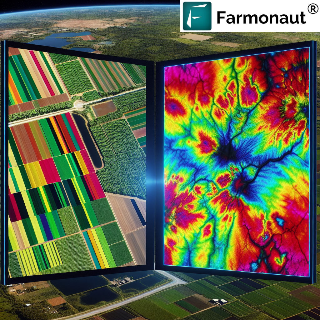
Before we dive into the specifics of various imaging technologies, it’s crucial to understand the concept of multi-spectral imagery and its significance in agriculture. Multi-spectral imaging involves capturing data from across the electromagnetic spectrum, including wavelengths beyond what the human eye can see. This technology allows us to gather a wealth of information about crop health, soil conditions, and environmental factors that are invisible to the naked eye.
Why Multi-Spectral Imaging Matters in Farming
- Early detection of crop stress and disease
- Precise measurement of plant vigor and health
- Efficient water management through soil moisture analysis
- Optimized fertilizer application based on nutrient deficiency detection
- Improved yield prediction and harvest planning
At Farmonaut, we harness the power of multi-spectral imaging to provide farmers with actionable insights that drive sustainable and profitable farming practices. Our satellite-based solutions offer a comprehensive view of agricultural lands, enabling precision farming at an unprecedented scale.
2. The Power of 4 Band Imagery
4 band imagery is a cornerstone of modern agricultural remote sensing. This type of imagery typically includes four distinct spectral bands: Red, Green, Blue (RGB), and Near-Infrared (NIR). Each band provides unique information about the crops and their environment:
- Red Band: Sensitive to chlorophyll absorption, indicating plant health
- Green Band: Reflects green light, showing the greenness of vegetation
- Blue Band: Useful for atmospheric and deep water imaging
- Near-Infrared (NIR) Band: Highly sensitive to plant biomass and vigor
The combination of these four bands allows for the creation of various vegetation indices, such as the Normalized Difference Vegetation Index (NDVI), which is a key metric in assessing crop health and productivity.
Applications of 4 Band Imagery in Precision Agriculture
- Crop Health Monitoring: By analyzing the reflectance patterns across all four bands, we can detect early signs of stress or disease in crops.
- Biomass Estimation: The NIR band is particularly useful in estimating plant biomass, which correlates with crop yield potential.
- Water Stress Detection: Combinations of visible and NIR bands can reveal areas of water stress in fields.
- Fertilizer Management: By identifying areas of low plant vigor, farmers can apply fertilizers more precisely where they’re needed most.
- Crop Classification: Different crop types have unique spectral signatures, allowing for accurate mapping and classification of agricultural areas.
At Farmonaut, we leverage 4 band imagery to provide our users with comprehensive crop health reports and actionable insights. Our platform processes this multi-spectral data to generate easy-to-understand maps and alerts, enabling farmers to make informed decisions quickly and efficiently.
3. NIR Imagery: Seeing Beyond the Visible
NIR imagery, or Near-Infrared imagery, is a crucial component of agricultural remote sensing. This spectral band captures light just beyond the visible spectrum, which is strongly reflected by healthy vegetation. The NIR band is particularly sensitive to the cellular structure of leaves, making it an excellent indicator of plant health and vigor.
Key Benefits of NIR Imagery in Agriculture
- Early Detection of Plant Stress: NIR can reveal stress in plants before visible symptoms appear.
- Accurate Biomass Estimation: NIR reflectance correlates strongly with leaf area index and biomass.
- Soil Moisture Assessment: NIR can help in identifying areas with varying soil moisture levels.
- Crop Type Differentiation: Different crops have unique NIR reflectance patterns, aiding in classification.
- Precision in Nutrient Management: NIR data can indicate areas of nutrient deficiency or excess.
Our Farmonaut platform integrates NIR imagery with other spectral bands to provide a comprehensive view of crop health. By analyzing NIR data alongside other metrics, we offer farmers insights that go beyond what’s visible to the naked eye, enabling more precise and timely interventions.
4. IR Imagery: Temperature Insights for Crop Health
IR imagery, or Infrared imagery, focuses on the thermal emissions from crops and soil. This technology allows us to measure surface temperatures across agricultural fields, providing valuable information about crop stress, water usage, and overall plant health.
Applications of IR Imagery in Precision Farming
- Water Stress Detection: Stressed plants often have higher surface temperatures, which IR imagery can detect.
- Irrigation Management: By identifying cooler (well-watered) and warmer (water-stressed) areas, farmers can optimize irrigation practices.
- Frost Risk Assessment: IR imagery can help identify areas prone to frost, allowing for preventive measures.
- Disease Detection: Some plant diseases can alter leaf temperature, making them detectable through IR imaging.
- Soil Moisture Mapping: Surface temperature variations can indicate differences in soil moisture content.
At Farmonaut, we incorporate IR imagery into our comprehensive suite of monitoring tools. This allows our users to gain insights into the thermal characteristics of their crops, enabling more efficient water management and early detection of stress factors.
5. Green Imagery: Chlorophyll Content and Plant Vigor
Green imagery focuses on the reflectance of green light by vegetation. While it might seem counterintuitive, the green band provides valuable information about plant health and chlorophyll content. This spectral band is particularly useful in assessing the overall vigor of crops and detecting subtle changes in plant health.
Importance of Green Imagery in Crop Monitoring
- Chlorophyll Content Assessment: Green reflectance is sensitive to changes in leaf chlorophyll concentration.
- Early Stress Detection: Slight changes in green reflectance can indicate the onset of plant stress.
- Crop Growth Stage Monitoring: Green imagery can help track the progression of crop growth stages.
- Nitrogen Status Evaluation: Changes in green reflectance can indicate variations in nitrogen content.
- Complementary Data: When combined with other bands, green imagery enhances the accuracy of vegetation indices.
Our Farmonaut platform integrates green imagery data with other spectral bands to provide a holistic view of crop health. This comprehensive approach allows farmers to detect subtle changes in plant vigor and make timely interventions to optimize crop growth and yield.
6. Cloud Imagery: Real-Time Monitoring from Above
Cloud imagery refers to the use of satellite-based cloud platforms to deliver real-time or near-real-time imagery of agricultural areas. This technology has revolutionized the way we monitor crops, providing frequent updates on field conditions without the need for on-site visits.
Advantages of Cloud-Based Satellite Imagery
- Frequent Updates: Cloud platforms can provide daily or weekly imagery updates.
- Wide Coverage: Satellite imagery can cover vast areas, making it ideal for large-scale farming operations.
- Historical Data Access: Cloud storage allows for easy access to historical imagery for trend analysis.
- Integration with Other Data Sources: Cloud platforms can combine satellite imagery with weather data, soil maps, and more.
- Scalability: Cloud-based solutions can easily scale to accommodate growing farm sizes or additional users.
At Farmonaut, we leverage advanced cloud imagery technologies to provide our users with up-to-date information on their fields. Our platform processes and analyzes this imagery to deliver actionable insights directly to farmers’ devices, enabling real-time decision-making and proactive farm management.
7. Accessing Real-Time Satellite Imagery for Free
The concept of real time satellite imagery free has gained significant traction in the agricultural community. While high-resolution, real-time satellite imagery often comes at a premium, there are several resources and platforms that offer free access to satellite data for agricultural purposes.
Free Satellite Imagery Resources for Farmers
- NASA’s MODIS (Moderate Resolution Imaging Spectroradiometer): Provides daily global imagery at moderate resolution.
- Sentinel-2 from Copernicus Program: Offers free, high-resolution multispectral imagery with a 5-day revisit time.
- USGS Earth Explorer: Provides access to Landsat imagery and other Earth observation data.
- Google Earth Engine: Offers a platform for analyzing satellite imagery, including agricultural applications.
- Farmonaut’s Free Tier: We offer limited free access to our satellite-based crop monitoring tools to help farmers get started with precision agriculture.
While these free resources can be incredibly valuable, it’s important to note that they may have limitations in terms of resolution, update frequency, or ease of use for agricultural applications. That’s why at Farmonaut, we offer a range of affordable subscription options that provide enhanced features and more frequent, higher-resolution imagery tailored specifically for agricultural use.
8. Farmonaut’s Approach to Satellite-Based Farm Management
At Farmonaut, we’ve developed a comprehensive platform that integrates various types of satellite imagery, including 4 band imagery, NIR imagery, IR imagery, and green imagery, to provide farmers with a complete picture of their fields. Our approach combines these advanced imaging technologies with artificial intelligence and machine learning algorithms to deliver actionable insights.
Key Features of Farmonaut’s Satellite-Based Farm Management System
- Real-Time Crop Health Monitoring: We process daily satellite imagery to provide up-to-date information on crop health and vigor.
- AI-Powered Advisory: Our Jeevn AI system analyzes satellite data to generate personalized crop management recommendations.
- Weather Integration: We combine satellite imagery with local weather forecasts to help farmers plan their activities more effectively.
- Historical Analysis: Our platform allows for comparison of current crop conditions with historical data for better decision-making.
- Mobile Accessibility: Farmers can access all these insights through our user-friendly mobile app, available for both Android and iOS devices.
To experience the power of Farmonaut’s satellite-based farm management system, visit our app redirect page and start your journey towards precision agriculture today.
Farmonaut vs. Drone and IoT-Based Farm Monitoring
| Feature | Farmonaut Satellite System | Drone-Based Monitoring | IoT-Based Monitoring |
|---|---|---|---|
| Coverage Area | Large scale (Global) | Limited (Local) | Limited (Local) |
| Frequency of Updates | Daily | As needed (Manual flights) | Continuous (Limited points) |
| Initial Setup Cost | Low | High | Medium to High |
| Operational Complexity | Low (Cloud-based) | High (Requires skilled operator) | Medium (Requires maintenance) |
| Data Processing | Automated (AI-powered) | Manual or Semi-automated | Automated (Limited scope) |
| Scalability | Highly Scalable | Limited Scalability | Moderate Scalability |
| Weather Independence | Moderate (Cloud cover limitations) | Low (Weather dependent) | High |
| Multi-spectral Imaging | Yes (4-band, NIR, IR) | Possible (Requires specialized equipment) | Limited (Point measurements) |
9. The Future of Precision Agriculture
As we look to the future, the integration of advanced satellite imagery, artificial intelligence, and precision farming techniques promises to revolutionize agriculture. At Farmonaut, we’re committed to staying at the forefront of these technological advancements to provide farmers with the most effective tools for sustainable and profitable farming.
Emerging Trends in Precision Agriculture
- Hyperspectral Imaging: Offering even more detailed crop health information
- AI-Driven Predictive Analytics: Forecasting crop yields and potential issues with greater accuracy
- Integration with Autonomous Farm Equipment: Using satellite data to guide precision planting and harvesting
- Blockchain for Traceability: Ensuring transparency in the food supply chain
- Climate-Smart Agriculture: Using satellite data to adapt farming practices to changing climate conditions
We’re excited to be part of this agricultural revolution and invite farmers, agronomists, and agricultural businesses to join us in shaping the future of farming. Explore our API services and developer documentation to see how you can integrate Farmonaut’s powerful satellite-based tools into your agricultural workflows.
10. FAQs
- Q: What is 4 band imagery and how does it benefit farmers?
A: 4 band imagery includes Red, Green, Blue, and Near-Infrared spectral bands. It benefits farmers by providing comprehensive data on crop health, allowing for early detection of stress, precise biomass estimation, and optimized resource management. - Q: How often is satellite imagery updated on Farmonaut’s platform?
A: Farmonaut provides daily updates of satellite imagery, allowing for real-time monitoring of crop conditions. - Q: Can Farmonaut’s system work for small farms?
A: Yes, Farmonaut’s satellite-based system is scalable and can be used effectively for farms of all sizes, from small holdings to large agricultural operations. - Q: How does NIR imagery help in assessing crop health?
A: NIR imagery is particularly sensitive to plant cellular structure and chlorophyll content, making it excellent for assessing overall plant health and vigor, often before visible signs of stress appear. - Q: Is there a free version of Farmonaut’s services available?
A: Yes, Farmonaut offers a limited free tier to help farmers get started with precision agriculture. For more advanced features and frequent updates, we offer affordable subscription plans.
Ready to transform your farming practices with cutting-edge satellite technology? Subscribe to Farmonaut today and take the first step towards precision agriculture:
Join us at Farmonaut in revolutionizing agriculture through advanced satellite imaging and precision farming techniques. Together, we can create a more sustainable and productive future for farming worldwide.
