- Introduction
- 1. Drone Survey Technology: Revolutionizing Modern Agriculture
- 2. 7 Shocking Farming Secrets of Drone Survey Technology
- 3. Drone Technology in Precision Agriculture: Optimizing Every Acre
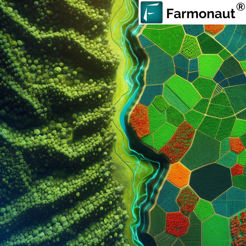
- 4. Forest Management with Drones: Aerial Mapping and Conservation
- 5. The Role of Multispectral & Thermal Imaging in Aerial Crop Monitoring
- 6. Drone Mapping Services, Data Analysis & DaaS Innovations
- 7. Challenges & Considerations: Navigating the Future of Drone Surveys
- Comparative Table: 7 Secrets of Drone Survey Technology
- Farmonaut: Satellite-Powered Precision for Real-Time Farm Management
- FAQ
- Conclusion
“Over 70% of large farms worldwide now use drone survey technology for aerial mapping and crop monitoring.”
Drone Survey Technology: 7 Shocking Farming Secrets
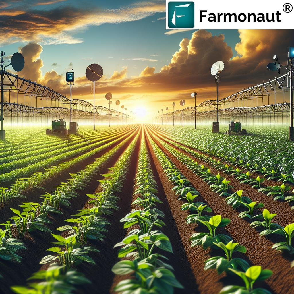
Drone survey technology is changing the face of modern agriculture and forestry by delivering a level of mapping, monitoring, and decision support never before possible. As precision farming drones become accessible and increasingly powerful, our ability to optimize resources, manage crops, and champion sustainability reaches new heights. In this comprehensive exploration, we reveal seven astonishing secrets behind the advancements in drone survey technology, and how they empower farmers, agribusiness professionals, and forest managers.
Drone Survey Technology: Revolutionizing Modern Agriculture
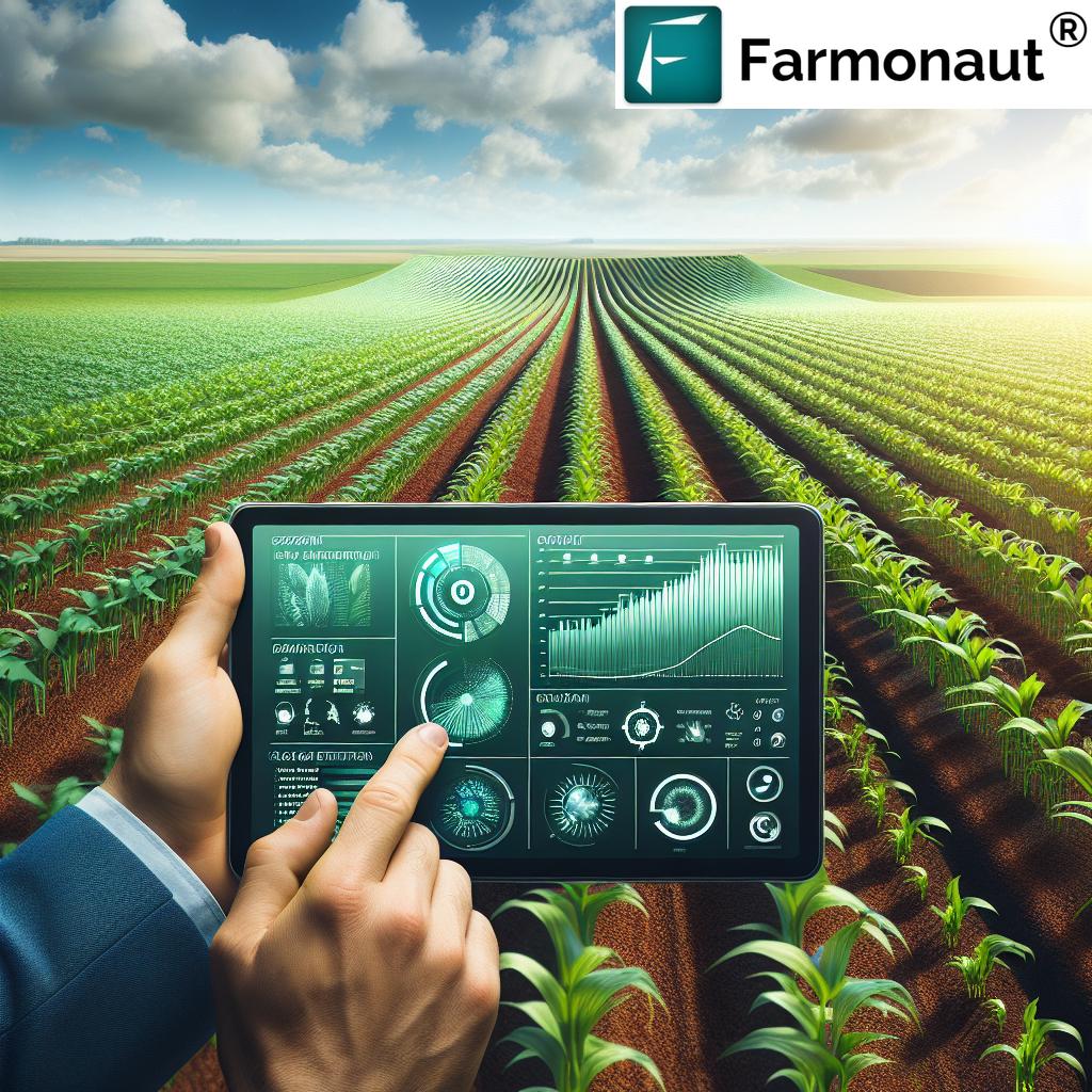
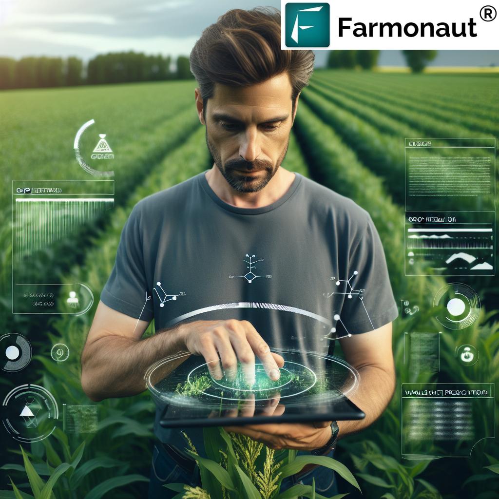
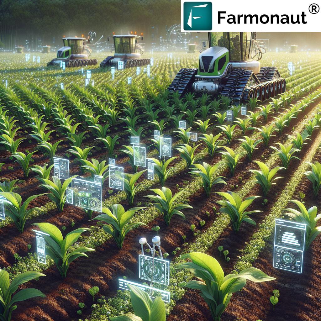
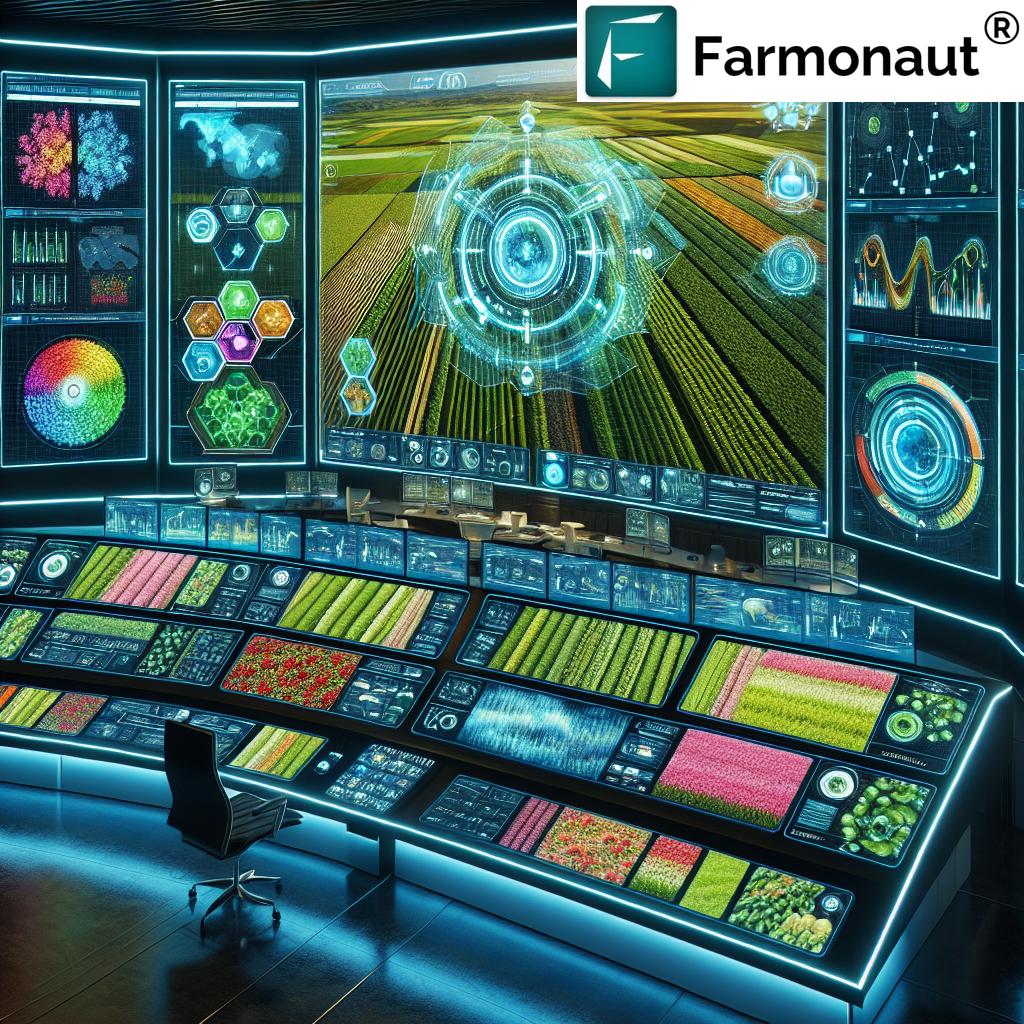
In the last decade, drones and their accompanying technologies have become essential tools for modern farming and forestry. By using a combination of aerial mapping, real-time monitoring, multispectral imaging, and AI-powered data analysis, we can transform raw field data into actionable insights. This shift enables precise management of crops and landscapes, promotes sustainability, and improves yields—all while reducing operational burdens. (Learn about drone-driven precision farming)
- Drones equipped with advanced sensors rapidly survey large areas, offering a level of detail and frequency that manual methods cannot match.
- Precision farming drones provide not just images, but also thermal and multispectral data, allowing us to detect subtle signs of crop stress, pest infestation, and water issues.
- Integrating AI and machine learning automates detection and analysis, reducing human error and delivering faster results.
7 Shocking Farming Secrets of Drone Survey Technology
“Precision farming drones can cover up to 1,000 acres per day, revolutionizing large-scale agricultural data collection.”
Let’s uncover the core applications of drone survey technology that are transforming agriculture and forestry today:
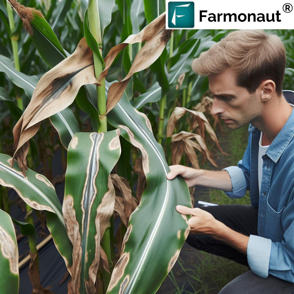
- Crop Health Monitoring: Unlocking early detection of stress, diseases, and nutrient deficiencies using multispectral and thermal imaging drones.
- Soil & Field Analysis: Generating accurate topographic maps for field planning, drainage assessment, and identifying optimal planting patterns through high-resolution drone imagery.
- Irrigation Management: Pinpointing dry spots, leaks, and inefficiencies, helping us optimize irrigation systems and save water.
- Yield Estimation: Leveraging aerial data for more accurate crop yield forecasts well in advance of harvest.
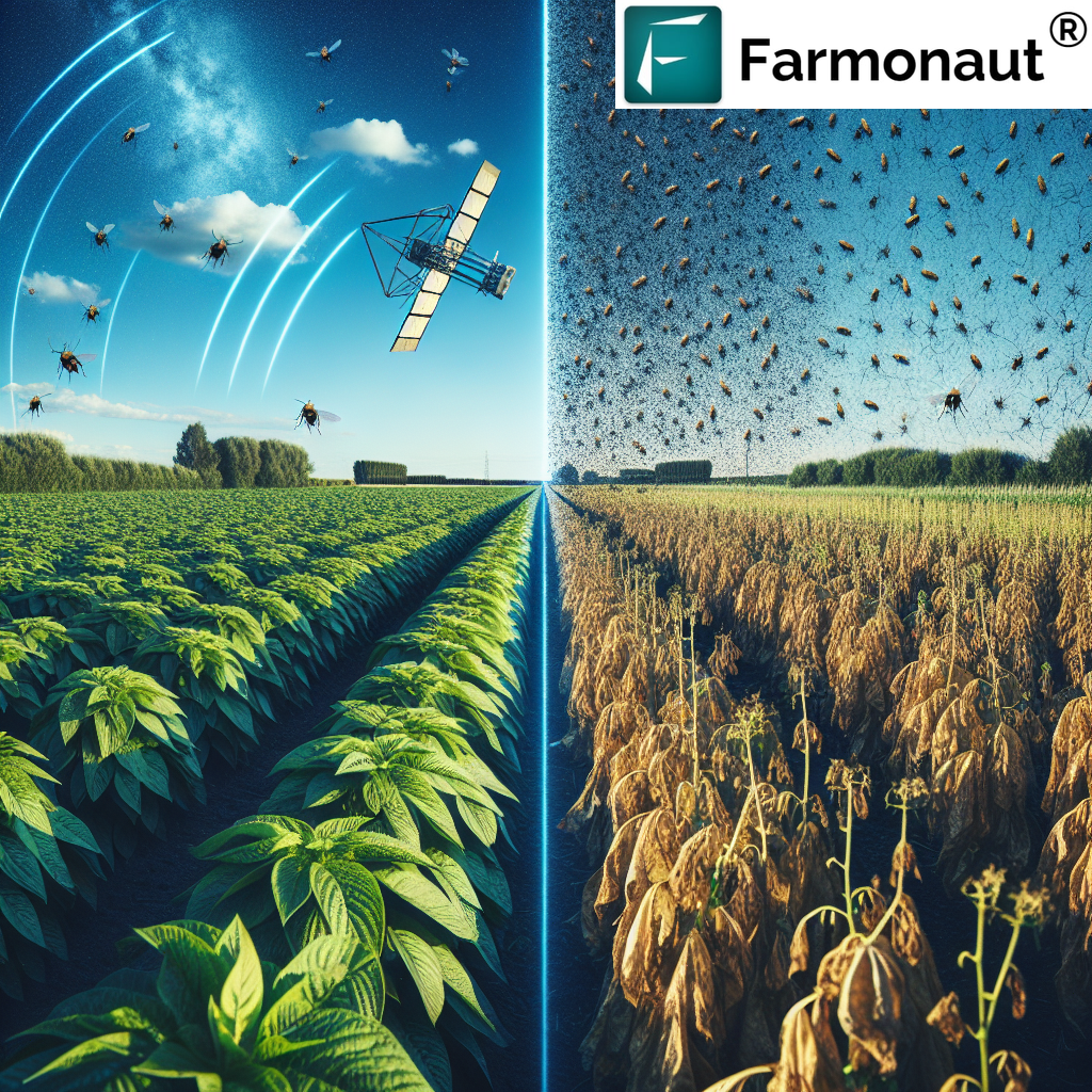
- Pest & Disease Detection: Detecting outbreaks early with drone imaging, enabling precise, targeted actions that mitigate crop losses.
- Reforestation & Conservation: Deploying drones for large-scale seed dispersal in forestry, reducing costs and minimizing disturbance for environmental restoration.
- Field Mapping & Boundary Setting: Efficiently mapping fields, measuring boundaries, and helping in precision resource planning for crop rotation and compliance.
Drone Technology in Precision Agriculture: Optimizing Every Acre
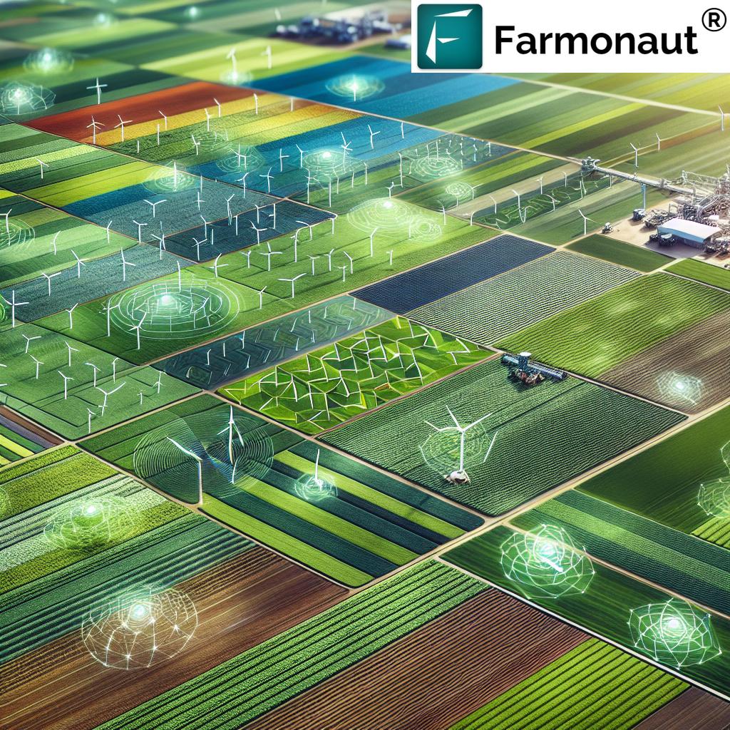
The rise of drone technology in agriculture has led to drastic improvements in field management, resource allocation, and risk mitigation. Precision farming drones fly autonomous and pre-programmed routes to capture ultra-high-resolution imagery, which we analyze to:
- Map field boundaries with centimeter-level accuracy, saving on manual survey time.
- Identify physical features—like obstacles and drainage issues—that impact planting decisions and irrigation planning.
- Spot potential resource conservation opportunities, reducing unnecessary expenses on fertilizer, water, and pesticides.
- Optimize crop rotation patterns and planting intensity based on true topography and previous crop data.
This aerial mapping approach is more than just a visualization tool—it’s the foundation for data-driven decision making in modern agriculture. Compared to traditional ground-based assessment, drone-based land surveys can reduce data collection time by up to 80% and minimize human error.
Key Drone Applications in Agriculture
- Rapid Crop Scouting: With drone-based crop health monitoring, we can cover hundreds of acres in a single flight, instantly identifying troubled spots that require targeted scouting.
- Topographic Mapping: High-res imagery and advanced lidar sensors generate detailed topographic maps, guiding drainage and irrigation systems planning.
- Field Performance Benchmarking: Over multiple crop rotation cycles, repeated mapping supports continuous yield improvement.
- Compliance Documentation: Accurate boundary measurement helps with policy and subsidy programs, and is often required for agri-insurance.
See how Farmonaut supports crop loans & insurance with satellite verification.
Forest Management with Drones: Aerial Mapping and Conservation
Drone applications in forestry have advanced significantly with the integration of precise lidar, multispectral, and high-resolution imaging sensors. These tools provide us with:
- Detailed aerial views and 3D models for accurate canopy density assessment.
- Automated tree species identification, height measurements, and disease detection using machine learning.
- Ongoing monitoring of forest health and growth to spot problems early, like pest or pathogen outbreaks.
- Efficient reforestation efforts with drone-based seed dispersal, precisely targeting areas that need restoration or conservation.
Farmonaut extends satellite-powered advisories for crop and plantation management—forest or farmland.
The ability to monitor and analyze vegetation health, identify invasive species, and ensure compliance with conservation targets helps preserve global forest landscapes. (How drones revolutionize modern forestry management)
Aerial Crop Monitoring & Drone Survey Technology in Forestry
- Forest Health Analysis: Using drones for regular imaging enables us to monitor even the most remote forest areas without manual labor or ecological disturbance.
- Vegetation Structure Mapping: 3D lidar surveys capture full canopy structure, crucial for carbon sequestration studies and growth tracking.
- Conservation Planning: Combining drone-based land surveys with multispectral data supports targeted interventions for biodiversity or habitat restoration.
-
Bulk Reforestation: Seed-spreading drones make large-scale reforestation feasible and effective, minimizing disturbance and maximizing success rates.
Analyze your carbon impact with Farmonaut’s carbon footprinting for forests and farms.
The Role of Multispectral & Thermal Imaging in Aerial Crop Monitoring
Among the most revolutionary aspects of drone survey technology is the use of multispectral and thermal imaging cameras. With these sensors, we unlock a new dimension for:
- Early Pest & Disease Detection: Multispectral imaging drones reveal stressed plants by detecting bands of light invisible to the naked eye, identifying outbreaks before symptoms spread.
- Targeted Resource Application: We can fine-tune irrigation and fertilizer usage by mapping water content and nutrient distribution at a sub-field scale. (Benefits of drone technology for farmers)
- Data-Driven Scouting: Drones equipped with thermal cameras rapidly scout for areas of high evapotranspiration, root stress, or compromised irrigation systems.
- Mitigating Crop Losses: By identifying problems early, we take targeted actions and minimize potential yield reduction.
This revolution in imaging and aerial crop monitoring means that even subtle changes in crop health are visible in real time, empowering stakeholders to act before issues escalate.
Drone Mapping Services, Data Analysis & DaaS Innovations
Rapid advancements have made drone mapping services more accessible and powerful than ever. We now have the ability to:
- Use compact lidar sensors on drones for high-resolution topographical maps and vegetation analysis at a fraction of previous costs.
- Leverage on-board processing units for instant data analysis, translating images into insights while still on site, enabling more timely actions.
- Tap into AI models and machine learning for automated feature detection (such as crop stand counts, weed mapping, or disease hotspots), leading to faster decisions.
- Benefit from longer flight durations with improved battery technology, allowing more extensive surveys per mission.
- Access Drone-as-a-Service (DaaS) offerings, where experts can provide precision survey technology on-demand, eliminating the need for high initial investment or in-house expertise. (Discover drone mapping service trends)
Power your agri business with Farmonaut’s satellite & weather API for seamless integration of crop insights.
Explore the Developer Docs for Farmonaut API here.
The DaaS approach is particularly powerful for smaller farms, cooperatives, and organizations in forestry management, as it democratizes access to top-tier technologies—without prohibitive cost or logistical barriers.
Challenges & Considerations: Navigating the Future of Drone Surveys
As revolutionary as drone survey technology is, its adoption presents a few important challenges for us and our peers in agriculture and forestry:
- Initial Investment: Acquiring and integrating drone technology requires financial investment and a commitment to learning new methods (though DaaS can reduce upfront costs).
- Regulatory Compliance: Countries often require drone pilots to have specific certifications, especially for commercial operations.
- Expertise in Data Analysis: Making the most of drone-generated data (drone data analysis in farming) demands new skills and reliable software platforms to interpret complex maps and images.
- Data Security & Privacy: Managing the privacy and security of sensitive agricultural or forest data is critical as digital tools become central to farm management.
- Managing Profit Margins: While long-term benefits typically far outweigh costs, farms must ensure that the expense aligns with operational needs and economic realities. (Overview: Challenges and strategies for drone adoption)
These considerations underscore the importance of choosing the right approach—leveraging available service models, investing in training, and employing robust analysis tools—to maximize the impact of drone survey technology.
Comparative Table: 7 Secrets of Drone Survey Technology
| Application/Secret | Brief Description | Estimated Benefit | Latest Technology Used |
|---|---|---|---|
| Crop Health Monitoring | Using drone and satellite multispectral/thermal imaging for early, accurate crop health detection | Yield protection: Up to 15% increase / 30–60% reduction in scouting time | Multispectral & thermal cameras, AI analysis, NDVI & moisture detection |
| Soil & Field Analysis | Aerial topographic mapping, identifying field boundaries, drainage, and soil variability | Planning time reduced by up to 80%, efficient input use | High-res photogrammetry, Lidar-equipped drones |
| Irrigation Management | Detecting dry spots & leaks, optimizing water use | Water savings 10–25% / rapid issue detection | Thermal imaging, on-board analytics |
| Yield Estimation | Predicting crop yields through canopy assessment and growth tracking | More accurate yield forecasts; supports marketing & financial planning | AI-assisted data analysis, multispectral imaging |
| Pest & Disease Detection | Locating infestations before visible signs, enabling targeted actions | 30–50% reduction in crop loss risk, minimized pesticide use | Multispectral/thermal drones, pattern detection AI |
| Reforestation & Conservation | Seed dispersal, forest mapping, and conservation monitoring | Cost down 40–60%; increases success in large areas | Seed-dropping drones, lidar, satellite-linked conservation tools |
| Field Mapping & Boundary Setting | Precise measurement of area and boundaries for all compliance needs | Manual mapping time slashed by 75–95% | GNSS-enabled drones, photogrammetry, AI mapping algorithms |
Farmonaut: Satellite-Powered Precision for Real-Time Farm Management
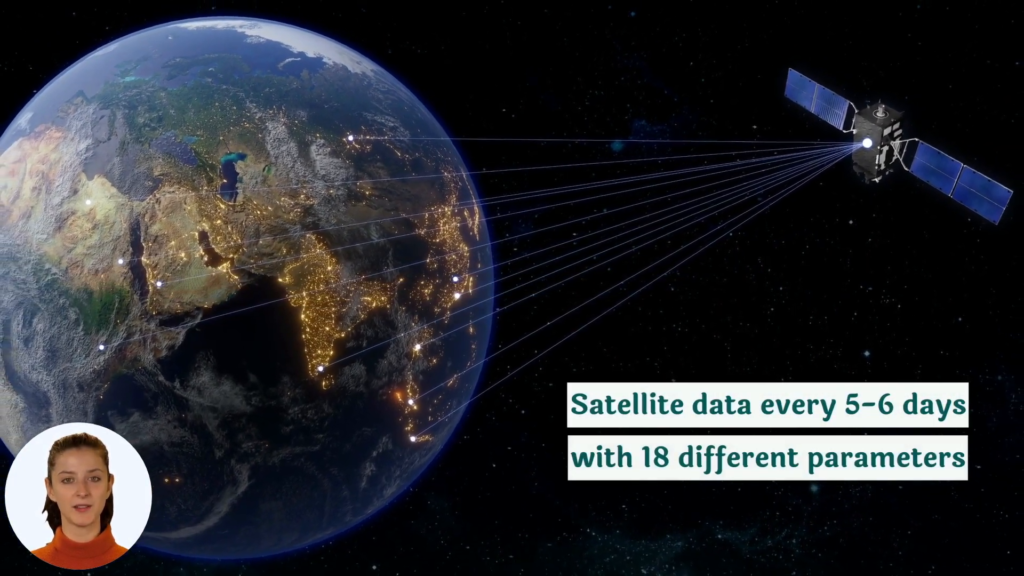
While drone survey technology leads the charge for precision on the ground, at Farmonaut, we extend the benefits of precision agriculture globally using satellite-based monitoring and advanced AI-powered farm management solutions. Our platform delivers:
- Satellite Driven Crop Health Monitoring: Monitor fields anywhere in the world with NDVI, vegetation, and soil moisture maps—helping growers to spot problems, optimize resource use, and protect yields, regardless of location or farm size.
- Jeevn AI Advisory: Personalized, AI-driven advice for weather, resource management, and crop health, transforming traditional decision making into a predictive, data-driven process.
- Blockchain Traceability Solutions: Track produce from farm to market with verifiable data, ensuring transparency and minimizing supply-chain fraud.
- Fleet & Resource Management: Streamline agricultural logistics, reduce operational costs, and bolster vehicle and machinery safety.
- Carbon Footprint Tracking: Enable sustainable practices with real-time carbon emission analysis, supporting compliance and eco-friendly farming.
Our app-based services (for Android, iOS, and web) and APIs open a world of possibilities for individual farmers, large agribusinesses, research teams, and government agencies—all with the shared goal of making precision agriculture accessible and affordable.
Ready to power your farm or business with next-generation insights?
FAQ: Drone Survey Technology & Precision Agriculture
Q1: What is drone survey technology and how does it work in agriculture?
Drone survey technology describes the use of aerial drones, often equipped with multispectral, thermal, or lidar imaging sensors, to map and monitor farm or forest landscapes. Data collected is processed via AI-powered models for field, crop, and vegetation analysis—enabling efficient and informed management decisions.
Q2: Which crops or fields benefit the most from drone mapping and monitoring?
Large-scale cereal fields (wheat, maize, rice), orchards, vineyards, plantations, and complex forest areas benefit most from aerial data due to their size and management complexity—but drone survey technology is scalable and beneficial for plots of any size.
Q3: How does drone data analysis in farming help boost yields?
It enables precise identification of stressed or diseased zones, optimizes irrigation and input use, and supports accurate yield forecasts. These insights allow for timely interventions that prevent or mitigate crop losses.
Q4: Do farmers need to own drones to leverage aerial mapping?
Not necessarily. Drone-as-a-Service (DaaS) models and platforms like Farmonaut allow farms to access advanced data and insights without significant upfront investment in hardware or training.
Q5: Is all of Farmonaut’s technology drone-based?
No—Farmonaut specializes in satellite-based monitoring, providing many of the same insights (e.g., crop health, boundary mapping, advisory) for farms and forests worldwide with affordable, scalable, and user-friendly tools.
Q6: How can I access Farmonaut’s solutions?
By downloading the Farmonaut app for Android or iOS, using the web application, or integrating our data via API into your existing agri platform. See app/download links above!
Conclusion: The Future of Farming is in the Sky
Drone survey technology has become a game-changer in both agriculture and forestry, offering scalable and transformative solutions for mapping, crop and forest monitoring, analysis, and sustainable land management. Through a combination of precise aerial imagery, advanced sensors, AI-powered data analysis, and streamlined service models, we are witnessing a new era of operational efficiency, environmental stewardship, and informed farming or forestry.
Innovations like multispectral imaging, lidar, autonomous flight, and Drone-as-a-Service unlock the potential for every farm, field, and forest—regardless of size or budget. While challenges in training, regulatory compliance, or investment remain, the benefits—higher yields, lower losses, optimized resource use, and transparent supply chains—far outweigh the hurdles.
Solutions like Farmonaut are at the forefront of this revolution, democratizing precision agriculture and forestry using satellite intelligence for practical, real-world benefits. By integrating these advanced technologies into daily operations, we can ensure that the future of food and fiber is both productive and sustainable, empowering all stakeholders to make the best possible decisions for our planet and prosperity.
Ready to experience the power of data-driven farming?
Start your journey with Farmonaut today.


