Revolutionizing Agriculture: Harnessing Satellite Data and Geospatial Intelligence for Sustainable Crop Management and Carbon Monitoring
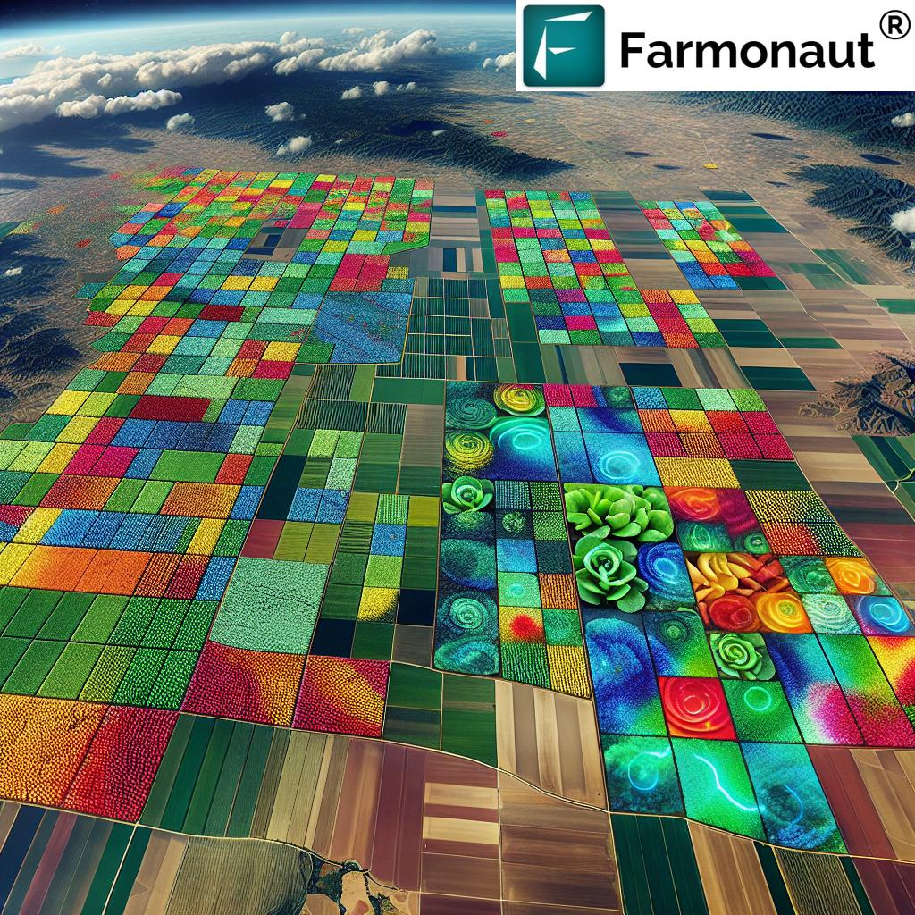
In the ever-evolving landscape of modern agriculture, we at Farmonaut are at the forefront of a technological revolution that is transforming the way we approach farming, forestry, and environmental stewardship. By harnessing the power of satellite data, geospatial intelligence, and advanced analytics, we’re ushering in a new era of precision agriculture and sustainable land management.
The Power of Earth Observation in Agriculture
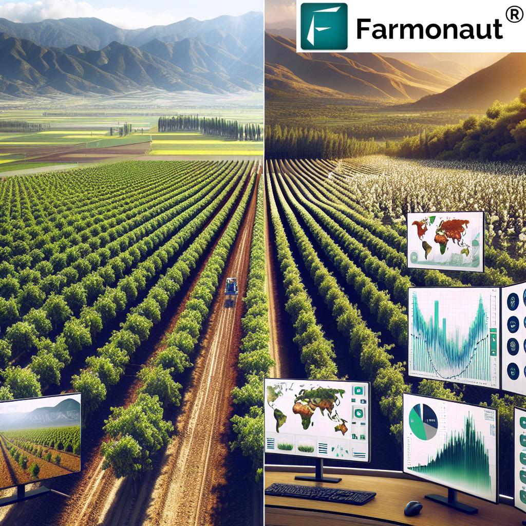
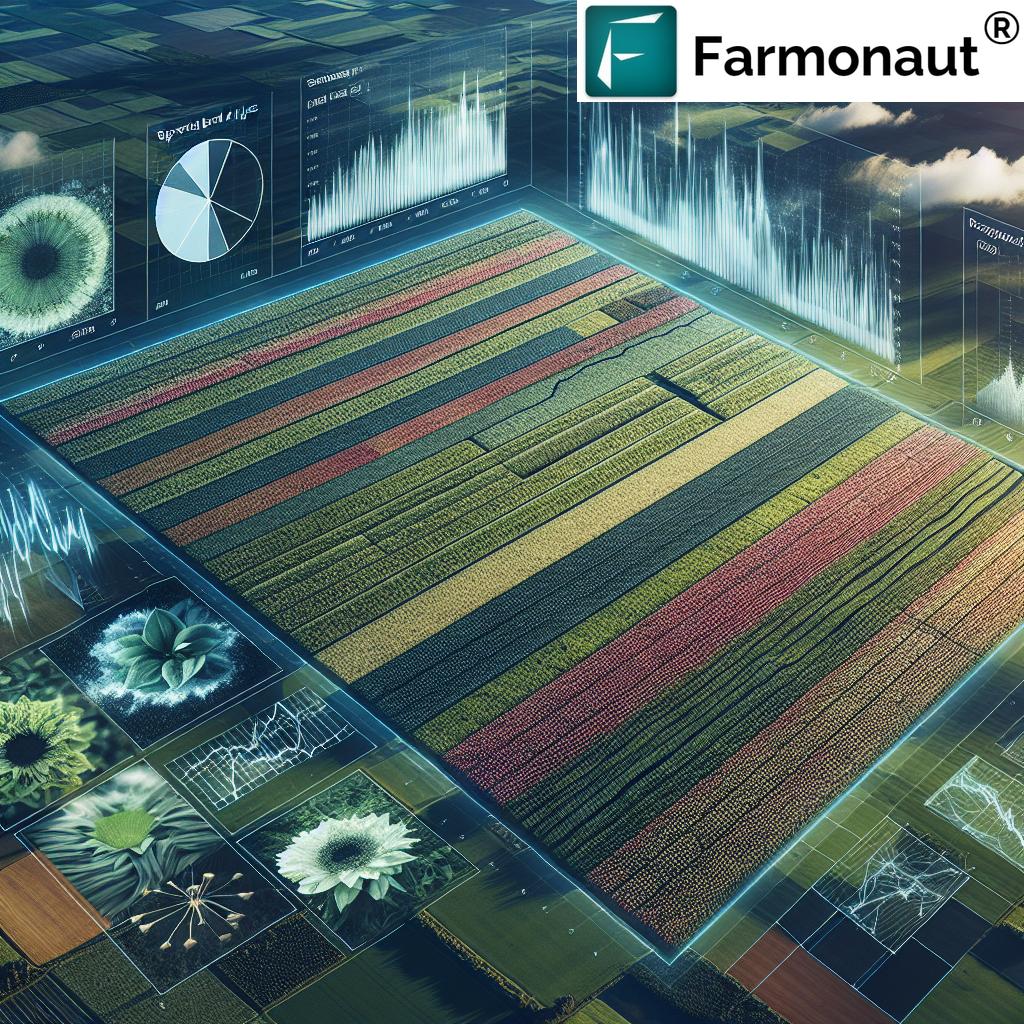
Earth observation satellites have become indispensable tools in the agricultural sector. These space-based assets provide us with a wealth of data that was previously unimaginable. From high-resolution imagery to multispectral and hyperspectral data, satellites offer a bird’s-eye view of our planet’s agricultural landscapes, allowing us to monitor crop health, soil conditions, and environmental changes with unprecedented accuracy.
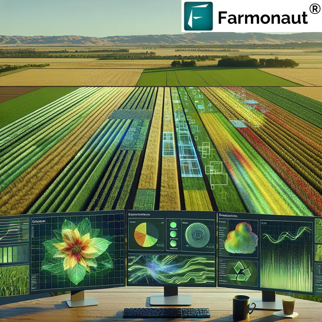
At Farmonaut, we leverage this cutting-edge technology to provide farmers, agronomists, and land managers with actionable insights that drive sustainable practices and optimize crop yields. Our platform integrates satellite data with advanced machine learning algorithms to deliver real-time information on:
- Crop health and vigor
- Soil moisture levels
- Pest and disease detection
- Weather patterns and climate trends
- Carbon sequestration potential
Satellite-Based Crop Monitoring: A Game-Changer for Farmers
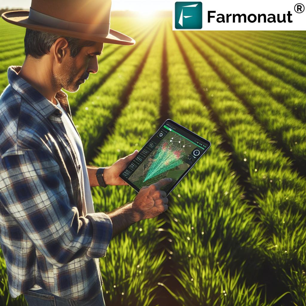
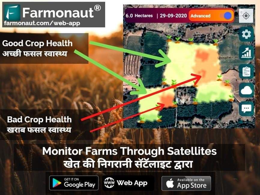
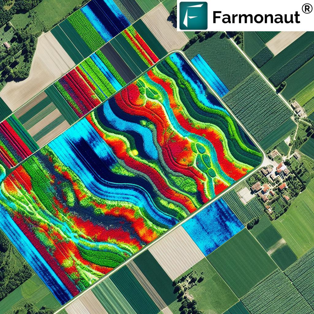
One of the cornerstones of our service is satellite-based crop monitoring. This technology allows farmers to keep a close eye on their fields without the need for constant physical inspections. By analyzing spectral signatures captured by satellites, we can detect early signs of stress in crops, identify areas of nutrient deficiency, and predict potential yield issues before they become visible to the naked eye.
Our crop monitoring system offers several key benefits:
- Early Problem Detection: Identify issues such as pest infestations or disease outbreaks in their early stages, allowing for timely intervention.
- Optimized Resource Use: Precise monitoring enables farmers to apply water, fertilizers, and pesticides only where and when needed, reducing waste and environmental impact.
- Improved Yield Prediction: By tracking crop development throughout the growing season, we can provide more accurate yield forecasts, helping farmers make informed decisions about harvest timing and market planning.
- Time and Cost Savings: Reduce the need for manual field scouting, saving time and labor costs while providing more comprehensive coverage.
Soil Moisture Analysis: The Foundation of Healthy Crops
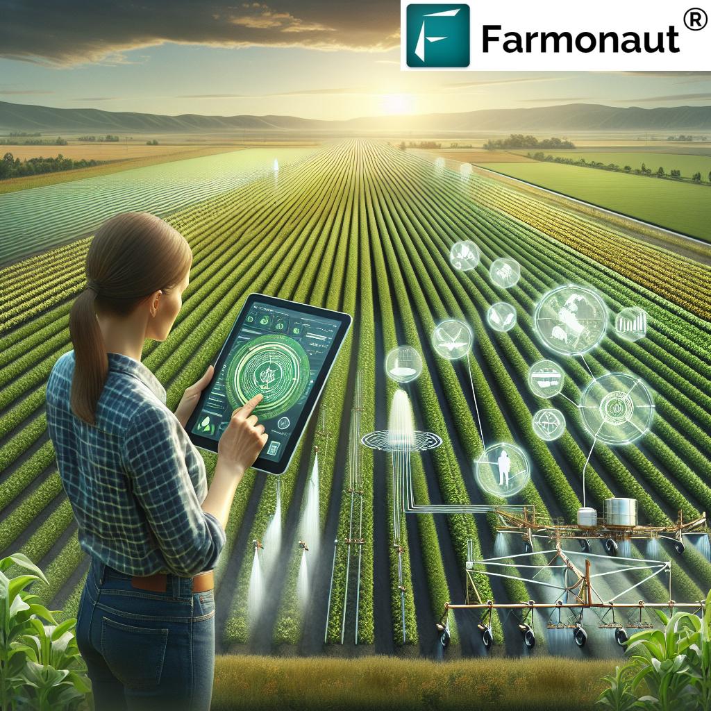
Understanding soil moisture dynamics is crucial for effective crop management. Our satellite-based soil moisture analysis provides farmers with valuable insights into the water content of their fields. This information is vital for:
- Optimizing irrigation schedules
- Preventing water stress in crops
- Avoiding over-watering and associated problems like nutrient leaching
- Improving water use efficiency
By combining satellite data with ground-based sensors and weather forecasts, we offer a comprehensive view of soil moisture conditions, enabling farmers to make informed decisions about water management.
Carbon Monitoring and Sustainable Agriculture
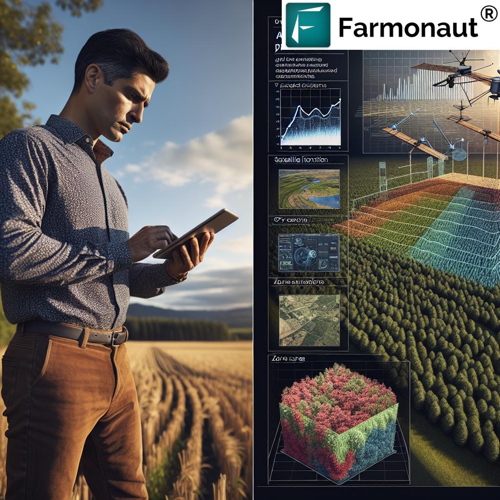
In an era of climate change and increasing environmental awareness, carbon monitoring has become a critical aspect of sustainable agriculture. Our satellite-based carbon monitoring system helps farmers and land managers assess and track the carbon sequestration potential of their lands. This technology is essential for:
- Quantifying carbon stocks in agricultural soils and vegetation
- Monitoring changes in carbon storage over time
- Evaluating the effectiveness of carbon sequestration practices
- Supporting participation in carbon credit markets
By providing accurate and verifiable data on carbon sequestration, we empower farmers to adopt climate-smart agricultural practices and potentially benefit from carbon offset programs.
Geospatial Intelligence in Forestry
Our satellite-based solutions extend beyond agriculture into the realm of forestry. Geospatial intelligence plays a crucial role in sustainable forest management, offering tools for:
- Forest inventory and biomass estimation
- Deforestation monitoring and prevention
- Fire risk assessment and management
- Biodiversity mapping and conservation planning
By harnessing the power of satellite imagery and advanced analytics, we provide forestry professionals with the insights they need to make informed decisions about resource management and conservation efforts.
Weather Forecasting and Climate Analytics
Accurate weather forecasting is essential for successful farming operations. Our platform integrates satellite-derived weather data with ground-based observations to provide highly localized and accurate weather forecasts. This information helps farmers:
- Plan planting and harvesting activities
- Optimize irrigation schedules
- Prepare for extreme weather events
- Make informed decisions about crop protection measures
Moreover, our climate analytics tools allow farmers to track long-term climate trends and adapt their practices to changing environmental conditions, ensuring the sustainability of their operations in the face of climate change.
Variable Rate Application (VRA) Mapping
Variable Rate Application (VRA) is a key component of precision agriculture, allowing farmers to apply inputs such as fertilizers, pesticides, and seeds at varying rates across their fields based on specific needs. Our VRA mapping service uses satellite imagery and soil data to create detailed prescription maps that guide precision farming equipment. Benefits of VRA mapping include:
- Optimized use of agricultural inputs
- Reduced environmental impact
- Improved crop uniformity and quality
- Increased overall farm profitability
By providing accurate VRA maps, we enable farmers to implement precision agriculture techniques that maximize efficiency and sustainability.
Harvest Optimization: Timing is Everything
Determining the optimal time for harvest is crucial for maximizing crop yield and quality. Our harvest optimization tools use satellite imagery and weather data to help farmers make informed decisions about when to harvest their crops. This service considers factors such as:
- Crop maturity levels across different field zones
- Weather forecasts and potential risks
- Logistics and equipment availability
By providing this valuable information, we help farmers minimize losses and ensure the best possible outcomes for their harvests.
The Farmonaut Advantage: Comprehensive Solutions for Sustainable Land Management
At Farmonaut, we pride ourselves on offering a comprehensive suite of satellite-based solutions for agriculture and forestry. Our platform integrates multiple data sources and advanced analytics to provide a holistic approach to land management. Here’s a comparison table showcasing our capabilities:
| Feature | Farmonaut Capabilities |
|---|---|
| Crop monitoring | Real-time monitoring of crop health, growth stages, and stress detection using multi-spectral satellite imagery |
| Yield prediction | AI-powered yield forecasting based on historical data, current crop conditions, and weather patterns |
| Soil moisture analysis | Satellite-based soil moisture mapping combined with ground sensor data for accurate irrigation management |
| Carbon sequestration assessment | Quantification of carbon stocks in vegetation and soil, monitoring changes over time |
| Weather forecasting | Highly localized, satellite-derived weather forecasts and long-term climate trend analysis |
| VRA mapping | High-resolution prescription maps for variable rate application of inputs based on field variability |
| Harvest optimization | Data-driven recommendations for optimal harvest timing based on crop maturity and weather conditions |
This comprehensive approach ensures that our clients have access to all the tools they need for sustainable and efficient land management, whether in agriculture or forestry.
The Future of Agriculture: Data-Driven and Sustainable
As we look to the future, it’s clear that the agricultural industry is moving towards a more data-driven and sustainable model. Satellite technology and geospatial intelligence are at the heart of this transformation, providing the insights needed to optimize resource use, increase productivity, and minimize environmental impact.
At Farmonaut, we’re committed to staying at the forefront of this revolution. Our ongoing research and development efforts focus on:
- Integrating new satellite sensors and data sources
- Developing more advanced AI and machine learning algorithms
- Expanding our capabilities in hyperspectral imagery analysis
- Enhancing our mobile and web applications for easier access to insights
- Collaborating with agricultural research institutions to validate and improve our models
By continuously innovating and refining our offerings, we aim to provide farmers, foresters, and land managers with the most cutting-edge tools available for sustainable land management.
Conclusion: Empowering Sustainable Agriculture Through Technology
The integration of satellite data, geospatial intelligence, and advanced analytics is revolutionizing the way we approach agriculture and forestry. At Farmonaut, we’re proud to be at the forefront of this transformation, providing farmers and land managers with the tools they need to make informed decisions, optimize their operations, and contribute to a more sustainable future.
By harnessing the power of earth observation satellites, we’re not just improving agricultural productivity – we’re also contributing to global efforts in carbon monitoring, climate change mitigation, and environmental conservation. Our comprehensive suite of solutions addresses the complex challenges facing modern agriculture, from crop health monitoring to carbon sequestration assessment.
As we continue to innovate and expand our capabilities, we remain committed to our mission of making precision agriculture accessible and affordable for farmers worldwide. Together, we can build a more sustainable and resilient agricultural sector that meets the needs of a growing global population while preserving our planet’s precious resources.
Join us in this journey towards a smarter, more sustainable future for agriculture. Explore our solutions and see how satellite-based technologies can transform your farming or forestry operations.
Ready to experience the power of satellite-based agriculture? Subscribe to Farmonaut today and unlock the potential of your land:
FAQs: Satellite-Based Agriculture and Farmonaut
Q1: What is satellite-based agriculture?
A1: Satellite-based agriculture refers to the use of satellite imagery and data to monitor and manage agricultural activities. It involves analyzing spectral information captured by satellites to assess crop health, soil conditions, weather patterns, and other factors that influence agricultural productivity.
Q2: How accurate is satellite-based crop monitoring?
A2: Satellite-based crop monitoring can be highly accurate, with resolution capabilities down to a few meters. The accuracy depends on factors such as satellite sensor type, atmospheric conditions, and the specific parameters being measured. At Farmonaut, we use advanced algorithms and multiple data sources to ensure high accuracy in our crop monitoring services.
Q3: Can satellite data really help predict crop yields?
A3: Yes, satellite data is a powerful tool for yield prediction. By analyzing factors such as crop health, historical yield data, weather patterns, and soil conditions, we can provide accurate yield forecasts. These predictions help farmers make informed decisions about harvesting, marketing, and resource allocation.
Q4: How does Farmonaut’s carbon monitoring work?
A4: Our carbon monitoring system uses satellite imagery to assess vegetation cover and biomass, which are indicators of carbon storage. We combine this data with soil information and advanced modeling techniques to estimate carbon stocks and sequestration rates. This helps landowners and managers track their carbon footprint and potential for carbon credits.
Q5: Is Farmonaut’s technology suitable for small-scale farmers?
A5: Absolutely! We’ve designed our platform to be accessible and affordable for farmers of all scales. Our mobile app and web interface make it easy for small-scale farmers to access valuable insights about their crops and land, helping them make data-driven decisions without the need for expensive equipment.
Q6: How often is the satellite data updated?
A6: The frequency of satellite data updates depends on the specific service and satellite constellation used. Generally, we provide updates every 3-5 days for most services, with some high-resolution monitoring available on a daily basis. Weather data is updated multiple times daily to ensure accuracy.
Q7: Can Farmonaut’s technology be used for organic farming?
A7: Yes, our technology is valuable for organic farming practices. It can help organic farmers monitor crop health, detect pest or disease issues early, optimize water use, and manage soil health – all without the use of synthetic inputs. Our precision agriculture tools support sustainable and organic farming methods.
Q8: How does Farmonaut integrate with farm management software?
A8: We offer API integrations that allow our satellite data and insights to be seamlessly incorporated into various farm management software platforms. This enables farmers to view our data alongside their other management tools, creating a comprehensive farm management ecosystem.
Q9: What kind of support does Farmonaut provide to users?
A9: We offer comprehensive support to our users, including technical assistance, interpretation of satellite data and insights, and guidance on how to implement precision agriculture practices. Our team of agronomists and tech experts is always ready to help users make the most of our platform.
Q10: How is Farmonaut contributing to sustainable agriculture?
A10: Farmonaut contributes to sustainable agriculture in several ways:
- Optimizing resource use (water, fertilizers, pesticides) through precision agriculture
- Promoting soil health and conservation practices
- Facilitating carbon monitoring and sequestration efforts
- Supporting biodiversity through targeted land management
- Reducing the environmental impact of farming operations
Our technology empowers farmers to make environmentally conscious decisions while maintaining or improving productivity.
For more information about our services or to start your journey with satellite-based agriculture, visit our website or download our app:
For developers interested in integrating our satellite and weather data into their own applications, check out our API documentation:
Join us in revolutionizing agriculture through the power of satellite technology and geospatial intelligence. Together, we can build a more sustainable and productive future for farming and land management.


