Here’s a comprehensive blog post based on your requirements:
Revolutionizing Agriculture: How Satellite Technology is Transforming Crop Health and Water Stress Management
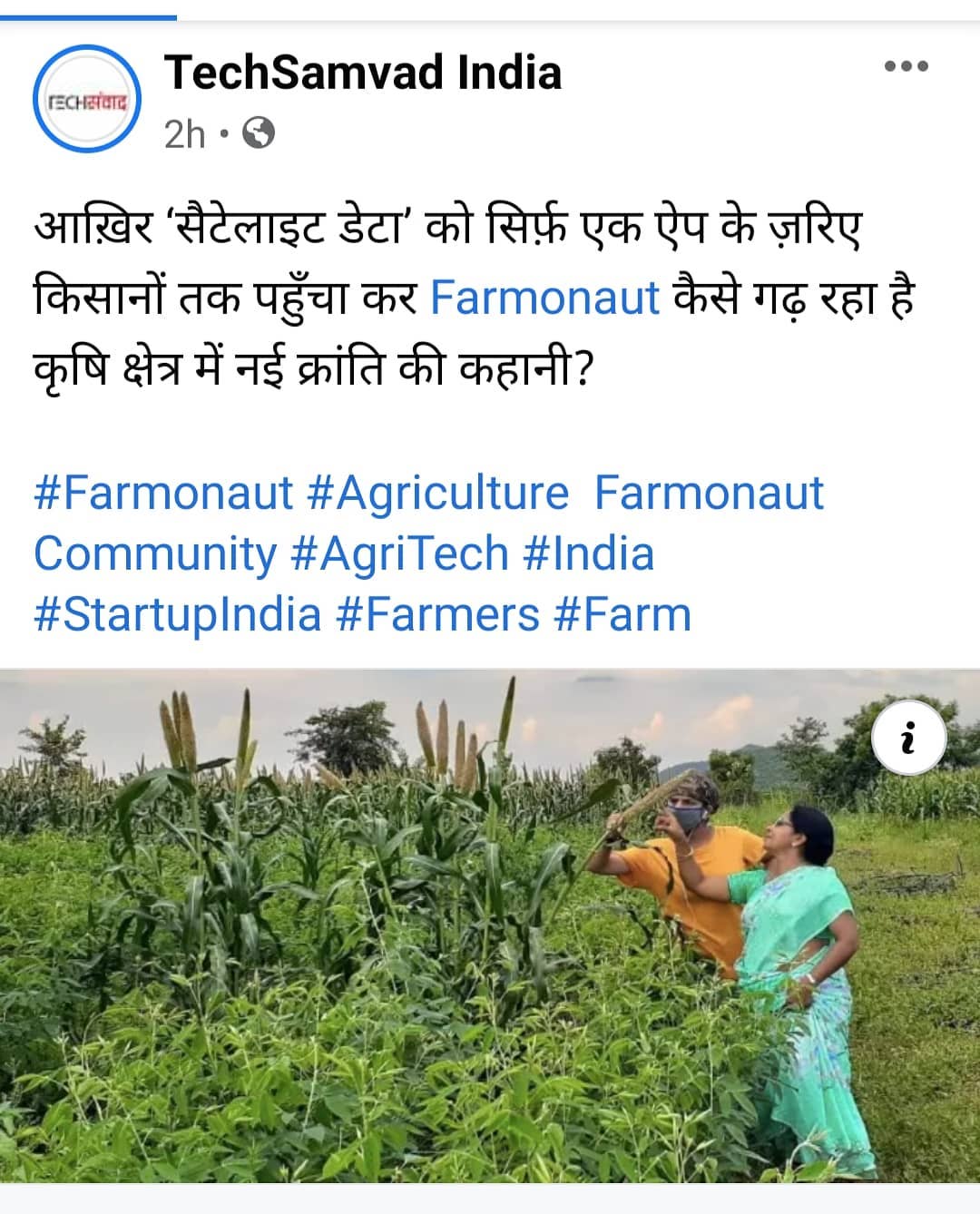
In today’s rapidly evolving agricultural landscape, farmers face numerous challenges in maintaining crop health and managing water stress. At Farmonaut, we’re proud to be at the forefront of a technological revolution that’s changing the way farmers monitor and manage their fields. Through the power of satellite technology, we’re making precision agriculture more accessible and affordable than ever before.
The Power of Satellite Technology in Agriculture
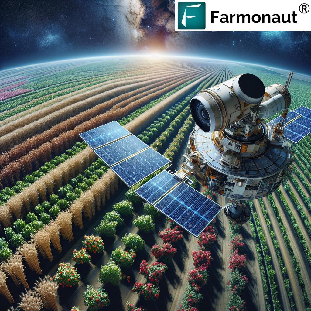
Satellite technology has transformed various industries, and agriculture is no exception. At Farmonaut, we harness the power of satellites to provide farmers with invaluable insights into their crops’ health and water stress levels. But how exactly does this work, and what benefits does it offer to farmers? Let’s dive in.
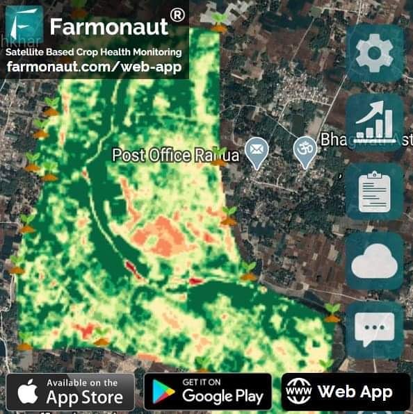
Real-Time Crop Health Monitoring
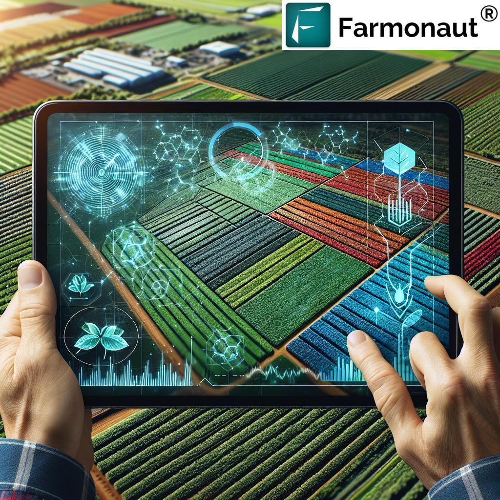
One of the most significant advantages of satellite-based agriculture monitoring is the ability to track crop health in real-time. Our advanced satellite imagery allows farmers to:
- Detect early signs of crop stress
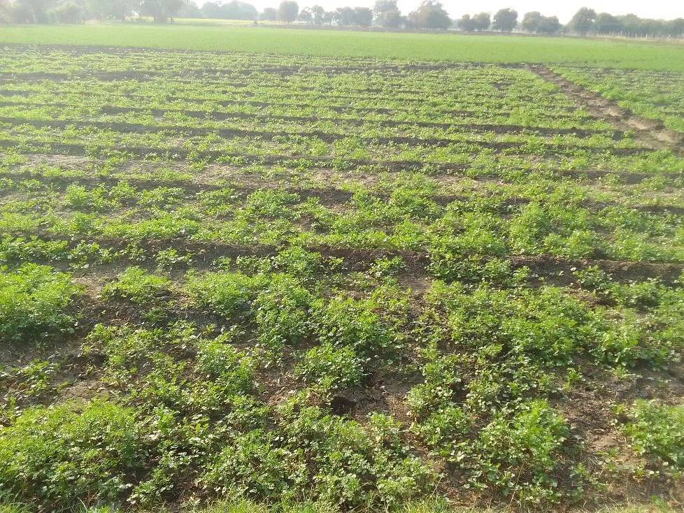
- Identify areas of poor growth
- Monitor crop development throughout the growing season
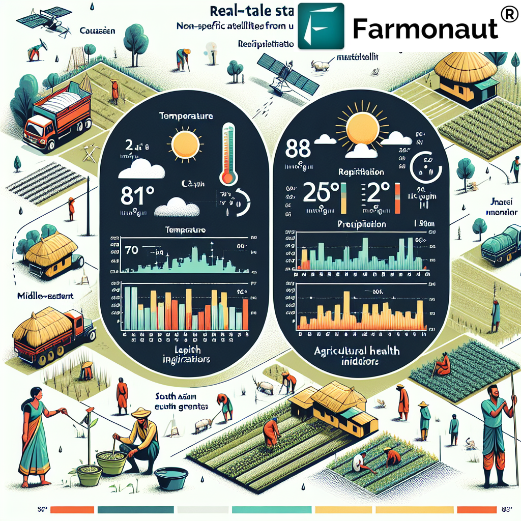
- Assess the impact of weather events on crops
By providing this crucial information, we empower farmers to make timely decisions that can significantly improve crop yields and reduce losses.
Water Stress Management
Water scarcity is a growing concern in many parts of the world, making efficient water management critical for sustainable agriculture. Our satellite technology helps farmers:
- Identify areas of water stress in their fields
- Optimize irrigation schedules
- Reduce water waste
- Improve overall water use efficiency
By providing accurate, timely information on soil moisture levels and crop water needs, we help farmers make informed decisions about when and where to irrigate, leading to significant water savings and improved crop health.
The Farmonaut Advantage: Satellite vs. Drone and IoT Monitoring
While drone and IoT-based monitoring systems have their merits, satellite technology offers several unique advantages. Here’s how Farmonaut’s satellite system compares:
| Feature | Farmonaut Satellite System | Drone Monitoring | IoT-based Monitoring |
|---|---|---|---|
| Coverage Area | Large scale (entire farms) | Limited by flight time and regulations | Limited by sensor placement |
| Frequency of Data Collection | Regular (every few days) | As needed, but labor-intensive | Continuous, but limited to sensor locations |
| Initial Investment | Low (subscription-based) | High (equipment costs) | Medium to High (sensor costs) |
| Maintenance | Minimal (handled by Farmonaut) | Regular (equipment upkeep) | Regular (sensor maintenance) |
| Ease of Use | High (user-friendly interface) | Moderate (requires trained operators) | Moderate (requires technical setup) |
| Weather Dependency | Low (can penetrate cloud cover) | High (affected by wind, rain) | Low (but sensors can be damaged) |
The Technology Behind Farmonaut’s Satellite Monitoring
At Farmonaut, we utilize a combination of cutting-edge technologies to provide our users with the most accurate and actionable data possible. Here’s a closer look at the key components of our system:
Multispectral Satellite Imagery
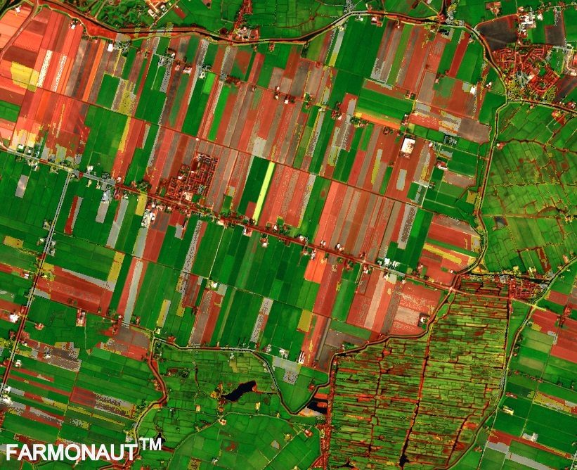
Our platform leverages multispectral satellite images to capture detailed information about crop health and field conditions. These images provide data across various spectral bands, including:
- Visible light (red, green, blue)
- Near-infrared (NIR)
- Short-wave infrared (SWIR)
By analyzing the reflectance patterns across these bands, we can derive valuable insights about crop health, water stress, and soil conditions.
Normalized Difference Vegetation Index (NDVI)
One of the key metrics we use to assess crop health is the Normalized Difference Vegetation Index (NDVI). This index is calculated using the red and near-infrared bands of satellite imagery and provides a measure of vegetation health and density. NDVI values range from -1 to 1, with higher values indicating healthier vegetation.
Artificial Intelligence and Machine Learning
To process the vast amounts of satellite data we receive, we employ advanced AI and machine learning algorithms. These algorithms help us:
- Detect anomalies in crop growth patterns
- Predict potential issues before they become visible to the naked eye
- Generate personalized recommendations for each field
- Continuously improve our analysis based on historical data and outcomes
Cloud-Based Processing
Our cloud-based infrastructure allows us to process and analyze satellite imagery quickly and efficiently. This means farmers can access up-to-date information about their fields without the need for powerful on-site computing resources.
How Farmonaut’s Satellite Monitoring Works in Practice
Now that we’ve covered the technology behind our system, let’s look at how it works in practice for farmers:
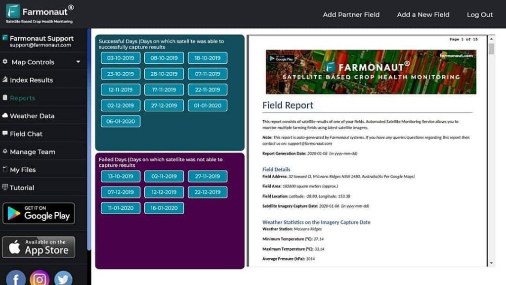
- Field Registration: Farmers register their fields on our platform, providing basic information about crop types and field boundaries.
- Satellite Data Acquisition: Our system regularly collects satellite imagery of the registered fields.
- Data Processing: The collected imagery is processed using our AI algorithms to generate insights about crop health and water stress.
- Alert Generation: If our system detects any issues or anomalies, it generates alerts for the farmer.
- Recommendation Engine: Based on the analyzed data, our platform provides personalized recommendations for crop management.
- Continuous Monitoring: The process repeats throughout the growing season, providing ongoing insights and support.
The Benefits of Satellite-Based Farm Management
By adopting Farmonaut’s satellite-based farm management system, farmers can enjoy numerous benefits:
1. Improved Crop Yields
Our system helps farmers identify and address issues early, leading to healthier crops and improved yields. By providing timely insights into crop health, farmers can take proactive measures to prevent crop losses and maximize productivity.
2. Resource Optimization
With accurate data on crop health and water stress, farmers can optimize their use of resources such as water, fertilizers, and pesticides. This not only reduces costs but also minimizes environmental impact.
3. Time and Labor Savings
Satellite monitoring reduces the need for manual field scouting, saving farmers valuable time and labor. Our system provides a comprehensive view of field conditions without the need to physically inspect every acre.
4. Data-Driven Decision Making
By providing objective, data-driven insights, our platform empowers farmers to make more informed decisions about crop management. This can lead to more efficient operations and better overall farm performance.
5. Sustainability
By optimizing resource use and improving crop health, our system contributes to more sustainable farming practices. This is increasingly important as the agriculture industry faces pressure to reduce its environmental footprint.
The Future of Satellite-Based Farm Management
As technology continues to evolve, we at Farmonaut are constantly working to improve and expand our satellite-based farm management solutions. Some exciting developments on the horizon include:
1. Integration with IoT Devices
While our satellite system offers numerous advantages, we recognize the potential of combining satellite data with ground-based IoT sensors. This integration could provide even more detailed and localized data to complement our satellite observations.
2. Advanced Predictive Analytics
We’re developing more sophisticated predictive models that can forecast potential issues days or even weeks in advance, allowing for even more proactive farm management.
3. Crop-Specific AI Models
We’re working on developing AI models tailored to specific crop types, which will provide even more accurate and relevant insights for farmers growing those crops.
4. Enhanced Weather Integration
By incorporating more detailed weather data and forecasts, we aim to provide farmers with a more comprehensive understanding of how weather patterns may impact their crops.
5. Blockchain Integration for Traceability
We’re exploring ways to integrate blockchain technology to provide end-to-end traceability for crops, from planting to harvest and beyond.
Getting Started with Farmonaut
Ready to experience the benefits of satellite-based farm management for yourself? Getting started with Farmonaut is easy:
- Visit our website at https://farmonaut.com/app_redirect
- Sign up for an account and select your subscription plan
- Register your fields by drawing boundaries on our interactive map
- Start receiving insights and recommendations within days
We offer flexible subscription plans to suit farms of all sizes, from small family operations to large commercial enterprises. You can also access our services through our mobile apps:
- Android: Farmonaut on Google Play
- iOS: Farmonaut on the App Store
For Developers: Farmonaut API
For developers looking to integrate Farmonaut’s powerful satellite data into their own applications, we offer a comprehensive API. Our API provides access to a wide range of data, including:
- Satellite imagery
- Vegetation indices (NDVI, EVI, etc.)
- Soil moisture data
- Weather information
To learn more about our API and how to get started, visit our developer documentation at https://farmonaut.com/farmonaut-satellite-weather-api-developer-docs/
Frequently Asked Questions (FAQ)
Q: How often is satellite data updated?
A: Our satellite data is typically updated every 3-5 days, depending on cloud cover and satellite availability.
Q: Can satellite monitoring work for small farms?
A: Absolutely! Our system is designed to work for farms of all sizes, from small family plots to large commercial operations.
Q: How accurate is satellite-based crop health monitoring?
A: Our system has been shown to be highly accurate, with crop health assessments correlating strongly with ground-truth data. However, it’s important to note that satellite data should be used in conjunction with on-the-ground observations for best results.
Q: Does cloud cover affect the quality of satellite data?
A: While dense cloud cover can impact optical satellite imagery, our system uses a combination of optical and radar satellites to minimize the impact of cloud cover. Additionally, our AI algorithms are designed to fill in gaps and provide consistent data even in cloudy conditions.
Q: How does Farmonaut handle data privacy and security?
A: We take data privacy and security very seriously. All user data is encrypted and stored securely, and we never share individual farm data without explicit permission from the user.
Q: Can Farmonaut’s system detect specific crop diseases?
A: While our system can detect anomalies and stress patterns that may indicate disease, it cannot definitively diagnose specific diseases from satellite imagery alone. However, it can alert farmers to potential issues, allowing for timely in-field investigation and action.
Conclusion
At Farmonaut, we’re committed to empowering farmers with the tools they need to succeed in an increasingly challenging agricultural landscape. Our satellite-based farm management system offers a powerful, cost-effective solution for monitoring crop health and managing water stress. By providing timely, accurate insights, we help farmers make informed decisions that can significantly improve yields, reduce resource use, and increase profitability.
As we continue to innovate and expand our capabilities, we’re excited about the potential for satellite technology to revolutionize agriculture on a global scale. Whether you’re a small family farmer or a large commercial operation, we invite you to join us on this journey towards more efficient, sustainable, and productive farming.
Ready to take your farm management to the next level? Subscribe to Farmonaut today and experience the power of satellite-based precision agriculture for yourself.
Join the satellite revolution in agriculture today and unlock the full potential of your farm with Farmonaut!


