Here’s a comprehensive blog post based on your requirements:
Revolutionizing Agriculture: Farmonaut’s Satellite-Based Crop Health Monitoring System
In the ever-evolving world of agriculture, technology continues to play a pivotal role in enhancing productivity, sustainability, and efficiency. At Farmonaut, we’re proud to be at the forefront of this agricultural revolution with our cutting-edge Satellite-Based Crop Health Monitoring System. This innovative solution is transforming the way farmers manage their fields, make decisions, and optimize their yields.
Understanding Farmonaut’s Satellite-Based Crop Health Monitoring System
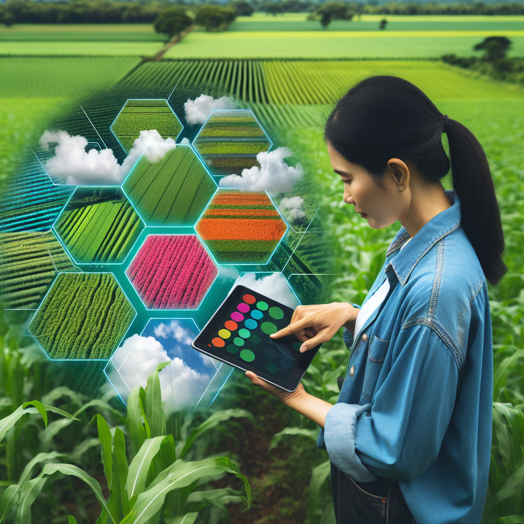
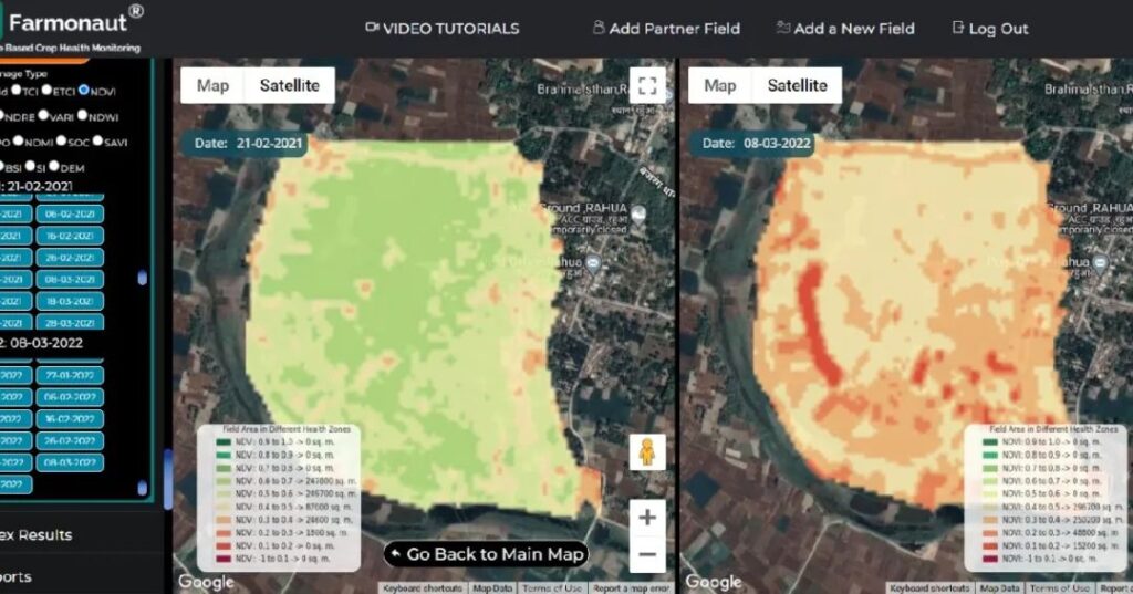
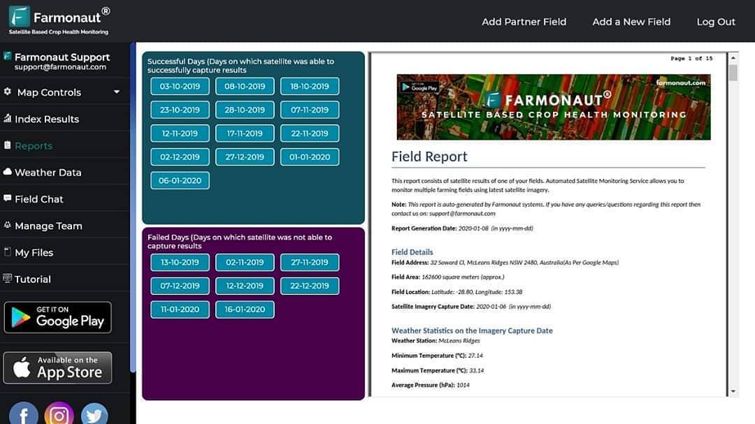
Our system harnesses the power of satellite technology to provide farmers with real-time, actionable insights about their crops. Every time a satellite is based over a selected field, our advanced algorithms process the data to generate comprehensive field results and user-downloadable reports. These reports are invaluable tools for farmers, agronomists, and agricultural professionals, offering a wealth of information at their fingertips.
Key Features of Farmonaut’s Reports
Let’s delve into the key components of our auto-generated reports:
- Weather Statistics on the Imagery Capture Date: We provide detailed weather information, including:
- Weather Station location
- Temperature (minimum and maximum)
- Pressure
- Humidity
- Wind Speed
- Wind Direction
- Cloud Cover
- Weather Graphs: Visual representations of weather patterns to help farmers identify trends and make informed decisions.
- Weather Forecast (Next 7 Days): Enabling farmers to plan their activities based on upcoming weather conditions.
- Index Data for the Satellite Captured Date: Crucial information about crop health and field conditions.
- Satellite Captured Images: High-resolution imagery of the field, allowing for visual inspection and analysis.
- Time Series Trend of the Indices: Historical data to track changes and progress over time.
- Scientific Background of the Indices: Explanations to help users understand the significance of the data.
- Field Area in Different Health Zones for Each Index: Breakdown of field conditions to identify areas that may need attention.
The Power of Satellite-Based Monitoring
Our Satellite-Based Crop Health Monitoring System offers several advantages over traditional monitoring methods:
| Feature |
Farmonaut Satellite System |
Drone-Based Monitoring |
IoT-Based Monitoring |
| Coverage Area |
Large scale (global) |
Limited to flight range |
Limited to sensor placement |
| Frequency of Data Collection |
Regular (based on satellite orbit) |
On-demand (requires manual flight) |
Continuous (but limited to sensor locations) |
| Initial Setup Cost |
Low |
High (drone purchase required) |
Medium to High (sensors and network setup) |
| Maintenance |
Minimal (handled by satellite operators) |
Regular (drone maintenance required) |
Regular (sensor maintenance and replacement) |
| Weather Dependency |
Less affected by ground-level weather |
Highly dependent on weather conditions |
May be affected by extreme weather |
| Data Processing |
Automated and cloud-based |
Often requires manual processing |
Automated but limited to sensor capabilities |
Leveraging Satellite-Captured Images for Precision Agriculture
One of the most powerful features of our system is the use of
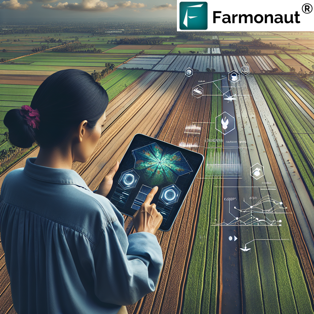
satellite-captured images. These high-resolution images provide a bird’s-eye view of entire fields, allowing farmers to:
- Identify areas of stress or disease in crops
- Monitor crop growth patterns
- Detect irrigation issues
- Plan efficient harvesting strategies
- Assess damage from natural disasters or pests
By analyzing these images over time, farmers can make data-driven decisions to optimize their crop management strategies.
Weather Statistics: A Crucial Component of Farm Management
Our system provides detailed
weather statistics on the imagery capture date, offering a snapshot of the environmental conditions at the time the satellite image was taken. This information is crucial for:
- Understanding how weather conditions impact crop health
- Correlating weather patterns with crop performance
- Planning irrigation schedules
- Predicting potential pest or disease outbreaks
By combining this historical weather data with our
weather forecast for the next 7 days, farmers can make proactive decisions to protect their crops and optimize resource allocation.
Index Data: The Key to Understanding Crop Health
Our reports include comprehensive
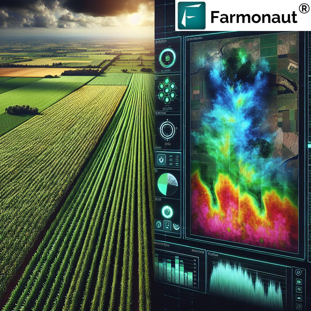
index data for the satellite captured date. These indices, such as the Normalized Difference Vegetation Index (NDVI), provide valuable insights into crop health, vigor, and potential yield. By analyzing this data, farmers can:
- Identify areas of crop stress early
- Optimize fertilizer application
- Detect nutrient deficiencies
- Monitor crop growth stages
- Estimate potential yields
Time Series Analysis: Tracking Progress and Identifying Trends
The
time series trend of the indices feature in our reports allows farmers to track changes in crop health and field conditions over time. This historical perspective is invaluable for:
- Identifying long-term trends in field performance
- Assessing the impact of different management practices
- Optimizing crop rotation strategies
- Evaluating the effectiveness of interventions (e.g., pest control measures)
Accessibility and Ease of Use
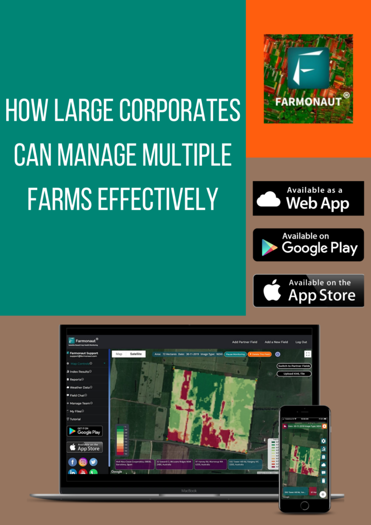
We understand that farmers need access to this critical information wherever they are. That’s why our app is available on multiple platforms:
Whether you’re in the field, at home, or on the go, you can access your farm’s data and make informed decisions.
API Access for Developers and Businesses
For developers and businesses looking to integrate our powerful satellite and weather data into their own systems, we offer API access. Our
Satellite API and
Weather API provide programmatic access to our extensive database of agricultural insights.
Empowering Farmers with Data-Driven Insights
At Farmonaut, we believe that data-driven agriculture is the key to sustainable food production in the face of global challenges. Our Satellite-Based Crop Health Monitoring System empowers farmers with:
- Real-time insights into crop health and field conditions
- Predictive analytics for proactive decision-making
- Historical data for long-term planning and optimization
- Easy-to-understand reports and visualizations
- Accessibility across multiple devices and platforms
By harnessing the power of satellite technology, artificial intelligence, and agronomic expertise, we’re helping farmers around the world increase yields, reduce costs, and farm more sustainably.
Frequently Asked Questions (FAQ)
Q: How often are satellite images updated?
A: The frequency of satellite image updates depends on the satellite’s orbit and your subscription plan. Typically, we provide updates every 3-5 days, but this can vary based on weather conditions and satellite availability.
Q: Can Farmonaut’s system detect specific crop diseases?
A: While our system can identify areas of crop stress that may indicate disease, it doesn’t diagnose specific diseases. However, the data provided can help farmers and agronomists pinpoint areas that need closer inspection.
Q: Is Farmonaut suitable for small-scale farmers?
A: Absolutely! We’ve designed our system to be accessible and affordable for farmers of all scales, from small family farms to large agricultural operations.
Q: How accurate is the weather forecast provided in the reports?
A: Our weather forecasts are based on advanced meteorological models and are generally highly accurate. However, as with all weather predictions, accuracy may decrease for longer-term forecasts.
Q: Can I share the reports with my team or advisors?
A: Yes, our reports are designed to be easily shareable. You can download them and send them to team members, agronomists, or other advisors, even when they don’t have internet access.
Q: What types of crops can be monitored using Farmonaut?
A: Our system is designed to work with a wide variety of crops, including grains, fruits, vegetables, and cash crops. The specific indices and analyses may vary depending on the crop type.
Q: How does Farmonaut protect my data?
A: We take data security very seriously. All data is encrypted and stored securely in the cloud. We never share your personal or farm data without your explicit permission.
Q: Can Farmonaut integrate with other farm management software?
A: Yes, through our API, Farmonaut can integrate with many other farm management tools. Contact our support team for more information on specific integrations.
Q: Is training provided on how to use the Farmonaut system?
A: We offer comprehensive onboarding and training resources, including video tutorials, user guides, and customer support. Our goal is to ensure you can fully leverage the power of our system.
Q: How does satellite monitoring compare to drone monitoring?
A: While drones can provide very high-resolution images, satellite monitoring offers broader coverage, more frequent updates, and doesn’t require on-site operation. Our system is often more cost-effective and less labor-intensive than drone monitoring.
Conclusion: The Future of Farming is Here
At Farmonaut, we’re committed to driving the future of agriculture through innovative technology and data-driven insights. Our Satellite-Based Crop Health Monitoring System is more than just a tool – it’s a partner in your farming success.
By providing comprehensive, easy-to-understand reports filled with crucial information like
satellite-captured images,
weather statistics on the imagery capture date,
weather forecasts,
index data for the satellite-captured date, and
time series trends of the indices, we’re empowering farmers to make informed decisions that optimize yields, reduce costs, and promote sustainable farming practices.
Join us in revolutionizing agriculture. With Farmonaut, the power of precision farming is at your fingertips. Happy Farming!
 In the ever-evolving world of agriculture, technology continues to play a pivotal role in enhancing productivity, sustainability, and efficiency. At Farmonaut, we’re proud to be at the forefront of this agricultural revolution with our cutting-edge Satellite-Based Crop Health Monitoring System. This innovative solution is transforming the way farmers manage their fields, make decisions, and optimize their yields.
 In the ever-evolving world of agriculture, technology continues to play a pivotal role in enhancing productivity, sustainability, and efficiency. At Farmonaut, we’re proud to be at the forefront of this agricultural revolution with our cutting-edge Satellite-Based Crop Health Monitoring System. This innovative solution is transforming the way farmers manage their fields, make decisions, and optimize their yields.


