Revolutionizing UK Agriculture: How GIS and Remote Sensing Drive Sustainable Farming Practices
“GIS and remote sensing technologies have helped increase UK farm productivity by up to 20% in recent years.”
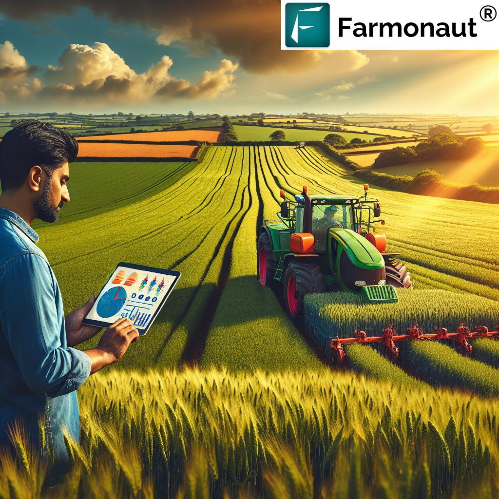
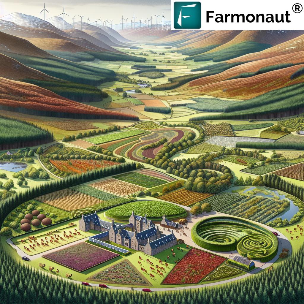
In the heart of the British countryside, a quiet revolution is taking place. The rolling hills and patchwork fields that have long defined the UK’s agricultural landscape are undergoing a profound transformation, driven by cutting-edge technologies that promise to reshape the future of farming. As we delve into this exciting new frontier, we’ll explore how Geographic Information Systems (GIS) and remote sensing are at the forefront of sustainable agriculture practices, precision farming technologies, and innovative farm management software.
The Dawn of a New Agricultural Era
The United Kingdom’s agricultural sector has always been a cornerstone of the nation’s economy and cultural identity. From the verdant pastures of Wales to the fertile East Anglian plains, British agriculture has a rich history of adaptation and innovation. Today, we stand on the brink of perhaps the most significant transformation yet – one that marries the wisdom of traditional farming with the power of digital technology.
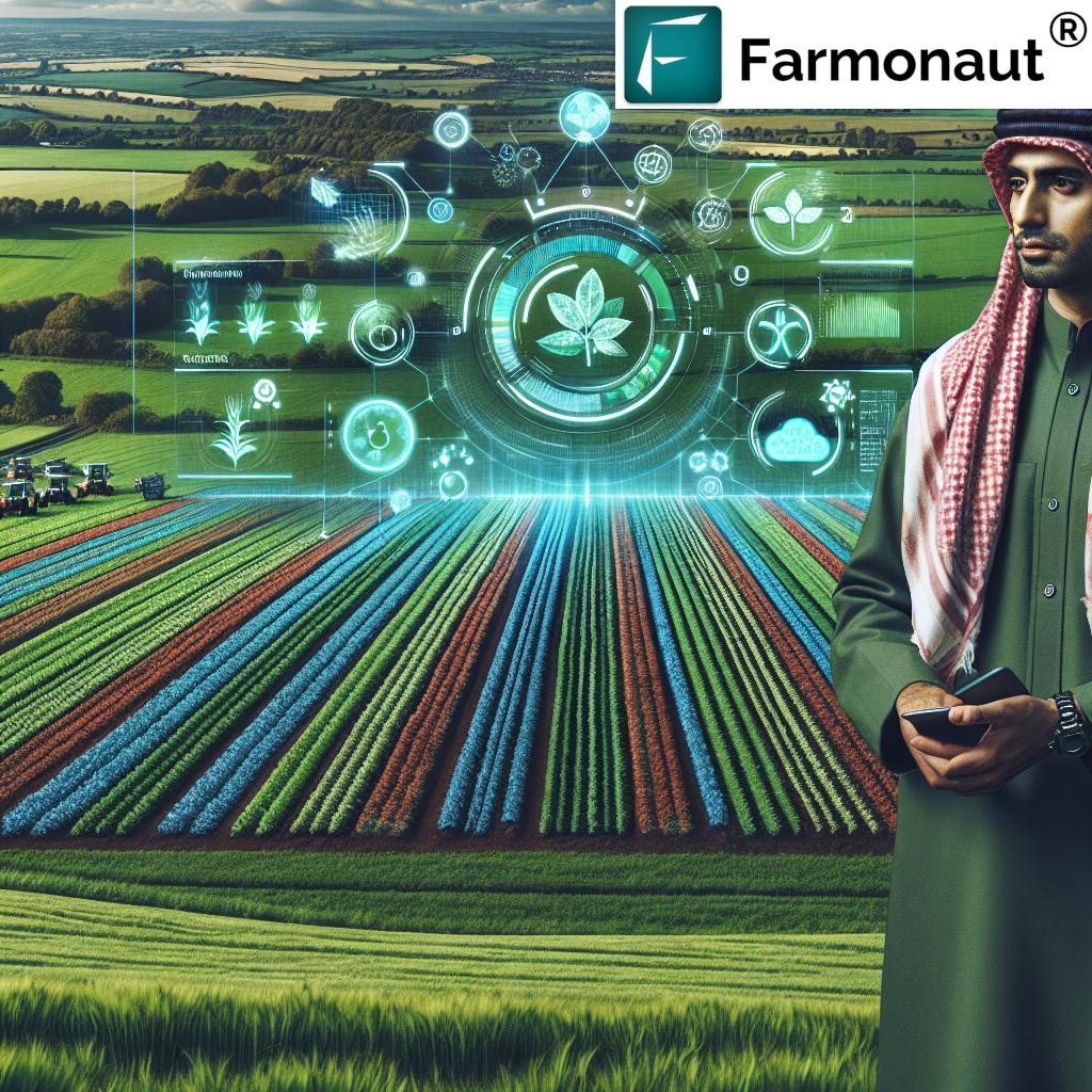
At the heart of this revolution are GIS and remote sensing technologies, tools that are rapidly becoming indispensable for modern farmers. These advanced systems allow for unprecedented levels of precision in farm management, enabling farmers to make data-driven decisions that optimize crop yields, conserve resources, and promote environmental sustainability.
Understanding GIS and Remote Sensing in Agriculture
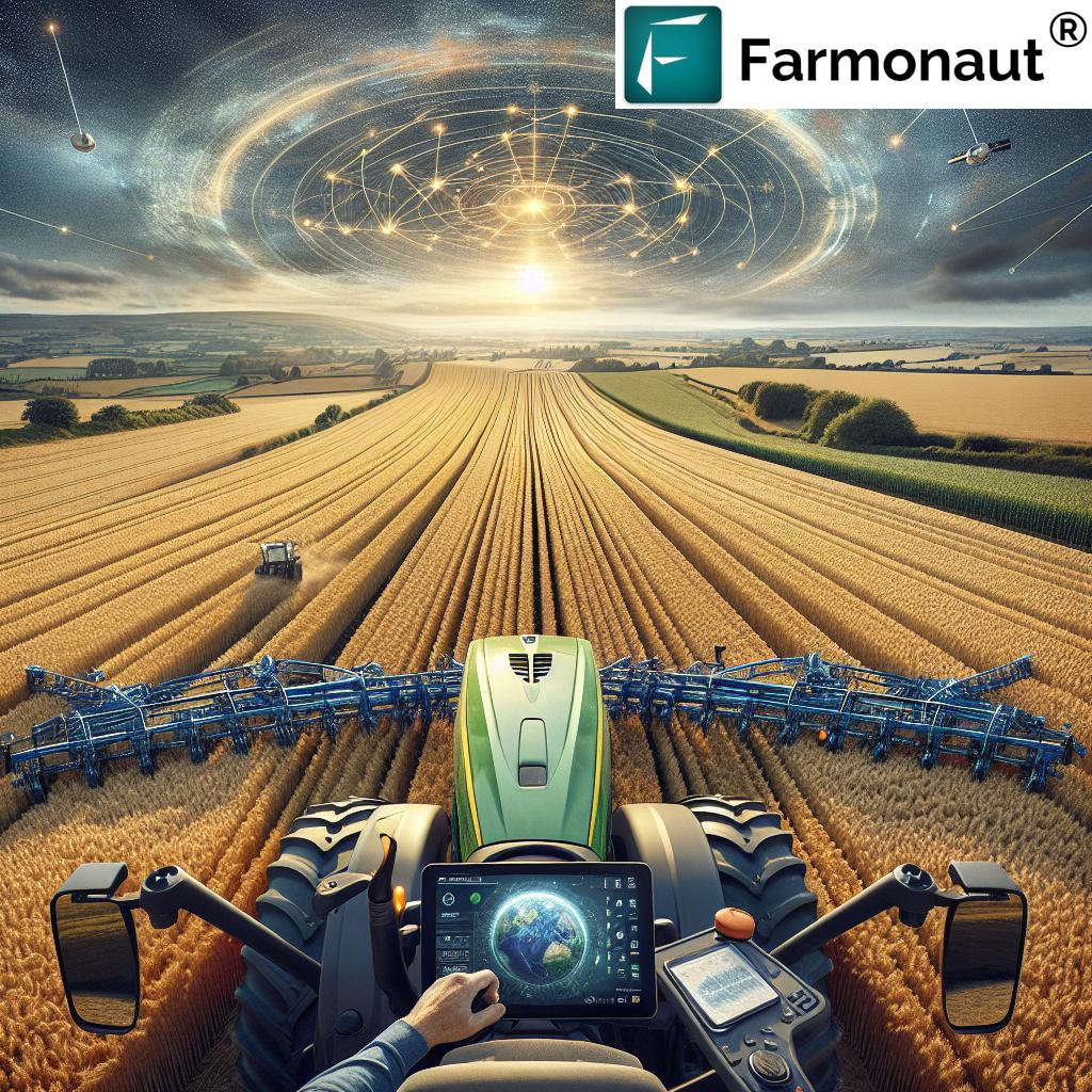
Before we dive deeper into their applications, let’s clarify what GIS and remote sensing entail:
- Geographic Information Systems (GIS): These are powerful tools that capture, store, analyze, and display geographic data. In agriculture, GIS can map soil types, track crop health, and plan efficient use of land and resources.
- Remote Sensing: This technology involves gathering information about the Earth’s surface from a distance, typically using satellites or aircraft. For farmers, remote sensing provides crucial data on crop conditions, soil moisture, and even potential pest infestations.
Together, these technologies form the backbone of precision agriculture, allowing farmers to treat their fields with a level of accuracy that was unimaginable just a few decades ago.
Farmonaut: Pioneering Sustainable Agriculture Practices
At the forefront of this agricultural revolution is Farmonaut, a company that has made it its mission to make precision agriculture accessible and affordable for farmers across the UK and beyond. Through its innovative platform, Farmonaut offers a suite of tools that leverage the power of satellite imagery and artificial intelligence to provide farmers with actionable insights.
Explore Farmonaut’s cutting-edge solutions:
Let’s explore how Farmonaut’s technology is transforming various aspects of UK agriculture:
Crop Monitoring Systems: Eyes in the Sky
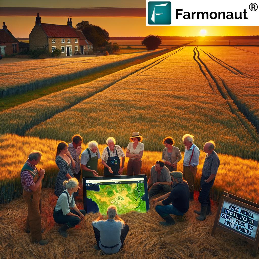
Farmonaut’s satellite-based crop monitoring system is a game-changer for British farmers. By providing regular, high-resolution imagery of fields, this technology allows farmers to:
- Track crop health and development throughout the growing season
- Identify potential issues such as nutrient deficiencies or pest infestations early on
- Make informed decisions about irrigation, fertilization, and pest control
This level of oversight not only helps improve crop yields but also contributes to more sustainable farming practices by enabling targeted interventions that reduce the overall use of resources.
Smart Irrigation Solutions: Every Drop Counts
“Farmonaut’s smart irrigation solutions can reduce water usage in agriculture by up to 30% compared to traditional methods.”
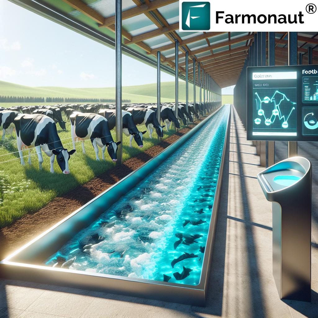
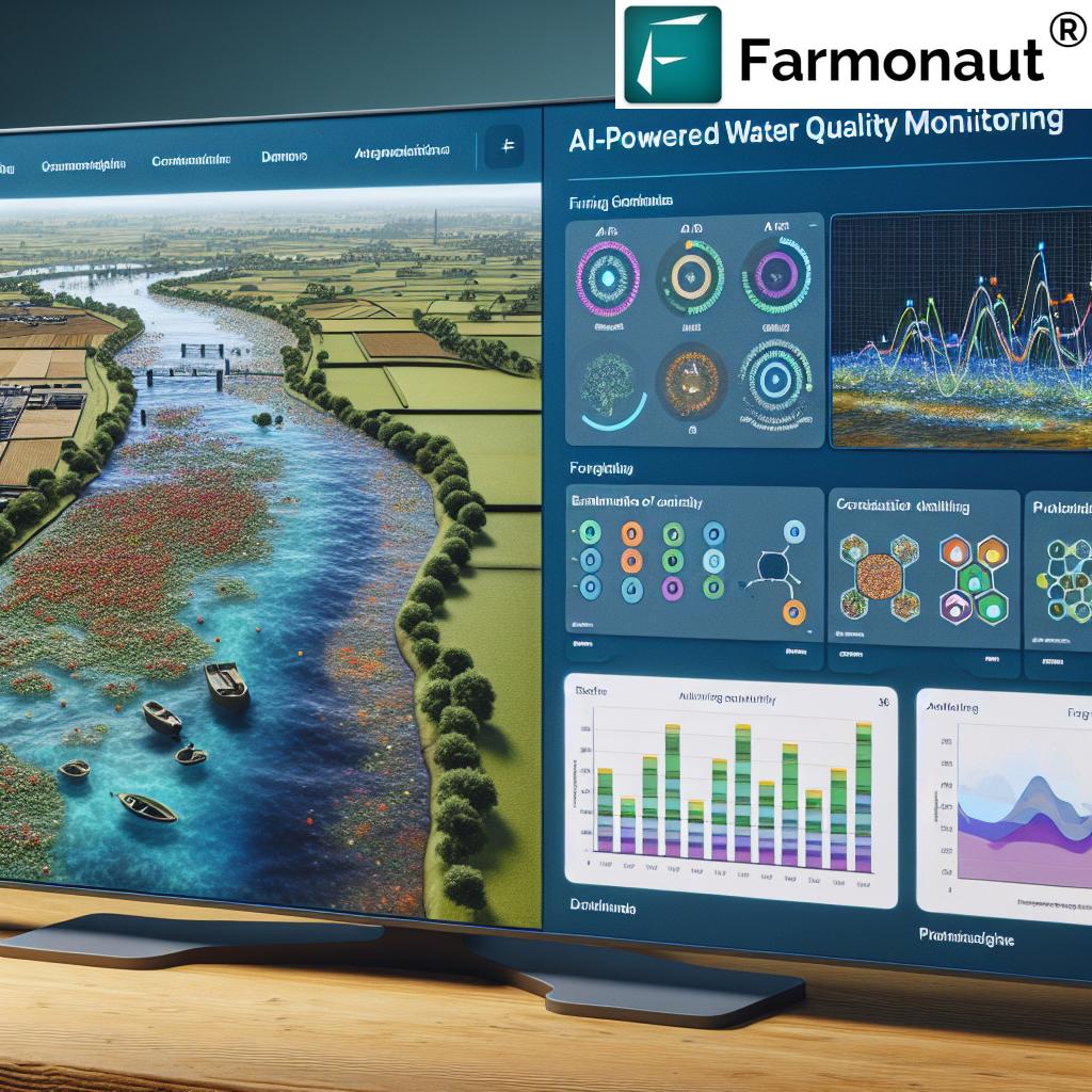
Water management is a critical issue in UK agriculture, particularly in regions prone to drought or with limited water resources. Farmonaut’s smart irrigation solutions use a combination of soil moisture sensors, weather data, and satellite imagery to optimize irrigation schedules. This approach ensures that crops receive precisely the amount of water they need, when they need it, leading to:
- Significant water savings
- Reduced energy costs associated with pumping
- Improved crop quality and yield
By implementing these smart irrigation systems, UK farmers are not only conserving a precious resource but also improving their bottom line.
Soil Health Management: The Foundation of Sustainable Farming
Healthy soil is the bedrock of successful agriculture, and GIS technology is revolutionizing how UK farmers approach soil management. Farmonaut’s platform allows farmers to:
- Create detailed soil maps that show variations in soil type, pH levels, and nutrient content across their fields
- Monitor soil moisture levels in real-time
- Plan targeted soil improvement strategies based on precise data
This level of insight enables farmers to practice variable rate application of fertilizers and amendments, ensuring that each part of the field receives exactly what it needs. The result is healthier soil, stronger crops, and reduced environmental impact from excess fertilizer runoff.
Pest Control in Agriculture: Precision Targeting
Pest management is a constant challenge for UK farmers, but GIS and remote sensing technologies are providing new weapons in this age-old battle. Farmonaut’s platform offers:
- Early detection of pest infestations through analysis of satellite imagery
- Mapping of pest hotspots within fields
- Integration with weather data to predict pest outbreaks
Armed with this information, farmers can implement targeted pest control strategies, applying pesticides only where and when they’re needed. This approach not only reduces the overall use of chemicals but also helps preserve beneficial insects and maintain ecological balance.
Agricultural Data Analytics: Turning Information into Action
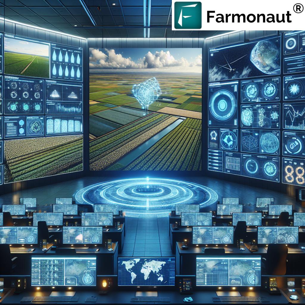
The true power of GIS and remote sensing in agriculture lies in the ability to analyze vast amounts of data and turn it into actionable insights. Farmonaut’s platform excels in this area, offering:
- Advanced algorithms that process satellite imagery and sensor data
- AI-powered recommendations for crop management
- Historical data analysis to identify trends and patterns
By leveraging these analytical tools, UK farmers can make more informed decisions about every aspect of their operations, from crop selection to harvest timing.
Harness the power of agricultural data with Farmonaut’s API:
Farmonaut API
API Developer Docs
Farm Equipment Automation: The Next Frontier
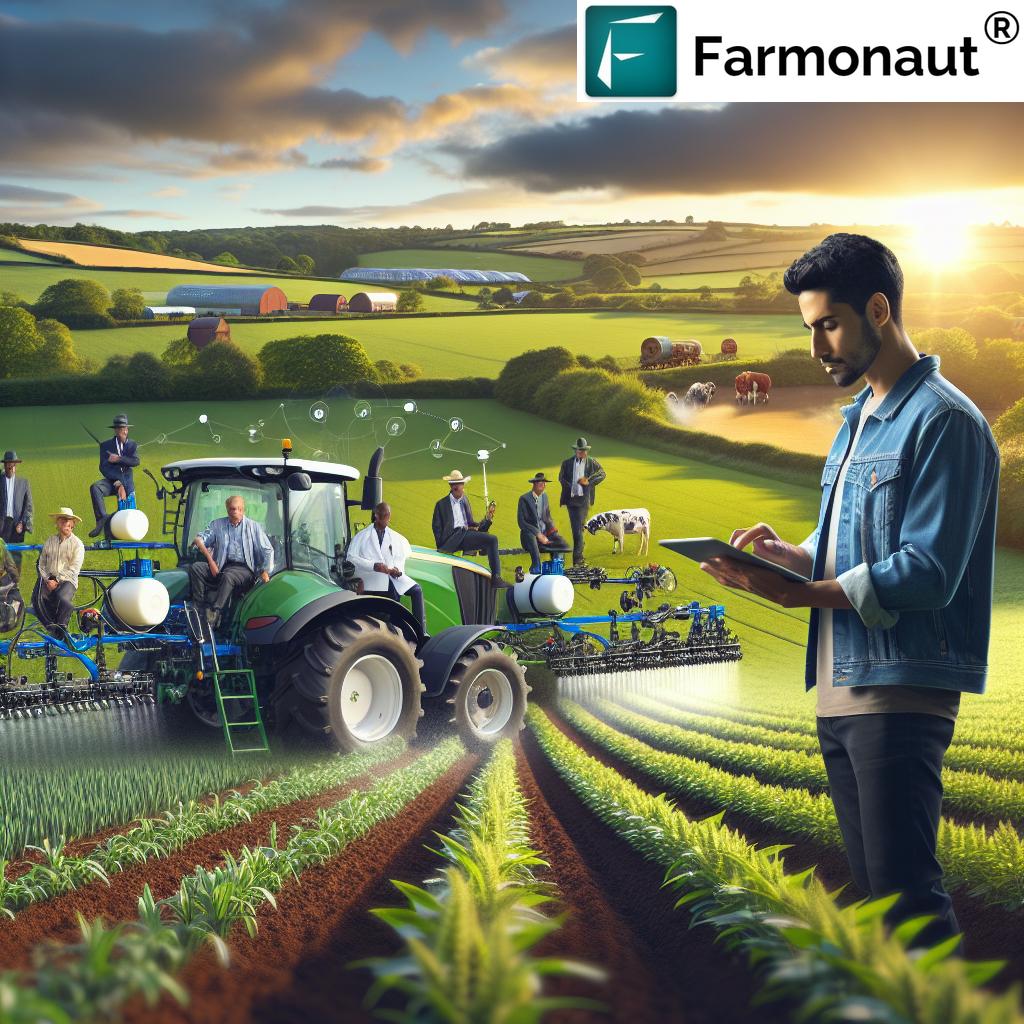
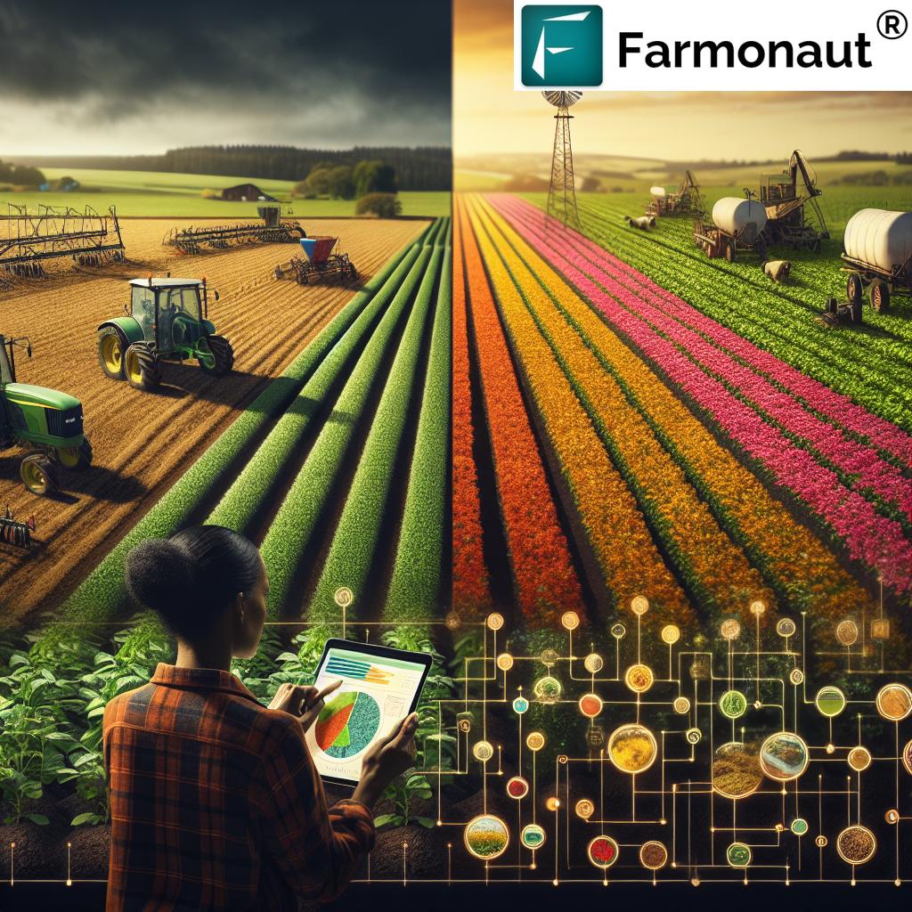
As we look to the future of UK agriculture, farm equipment automation stands out as an area of immense potential. GIS and remote sensing technologies are playing a crucial role in this development, enabling:
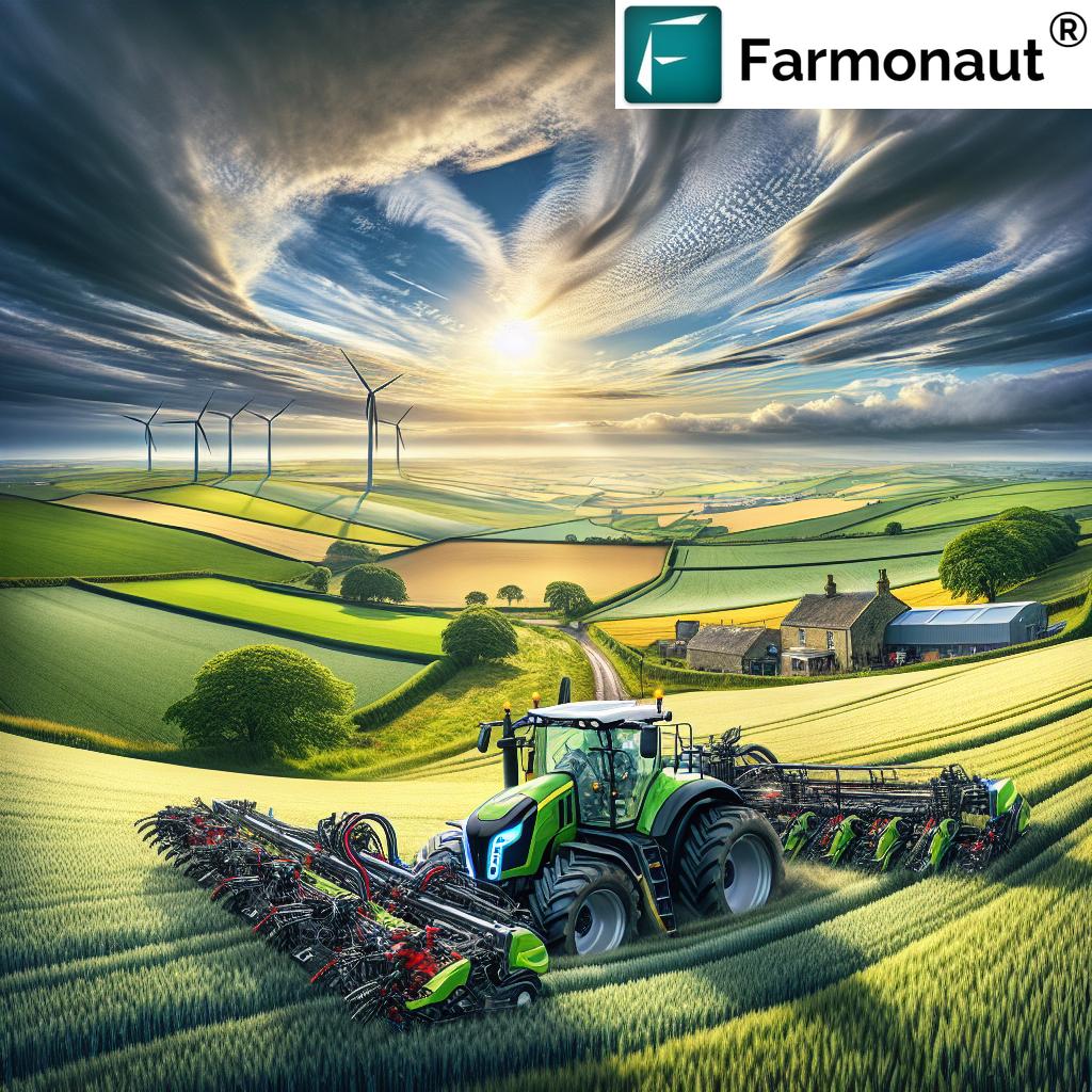
- Precision guidance systems for tractors and other machinery
- Automated variable rate application of inputs
- Robotic systems for tasks such as weeding and harvesting
These advancements not only improve efficiency but also help address labor shortages in the agricultural sector. Farmonaut’s platform integrates seamlessly with many automated farm systems, providing the data and insights needed to optimize their operation.
Adapting to Climate Change: Resilience Through Technology
Climate change poses significant challenges to UK agriculture, with shifting weather patterns and increased frequency of extreme events. GIS and remote sensing technologies are proving invaluable in helping farmers adapt to these changes:
- Long-term climate trend analysis to inform crop selection and planting schedules
- Early warning systems for extreme weather events
- Monitoring of crop stress due to heat or drought
Farmonaut’s platform incorporates advanced climate modeling and weather data, providing UK farmers with the tools they need to build resilience in the face of a changing climate.
The Economic Impact: Boosting UK Farm Productivity
The adoption of GIS and remote sensing technologies is having a profound impact on the economic performance of UK farms. By enabling more efficient use of resources, these technologies are helping to:
- Increase crop yields
- Reduce input costs
- Improve product quality
- Open up new market opportunities through improved traceability
Farmonaut’s affordable and accessible solutions are playing a key role in democratizing these technologies, ensuring that farms of all sizes can benefit from the precision agriculture revolution.
Environmental Sustainability: A Win-Win for Farmers and Nature
Perhaps one of the most significant benefits of GIS and remote sensing in agriculture is the positive impact on environmental sustainability. By enabling more precise management of resources, these technologies help:
- Reduce water usage and prevent runoff
- Minimize the use of chemical inputs
- Preserve soil health and biodiversity
- Lower the carbon footprint of farming operations
Farmonaut’s commitment to sustainability is evident in its focus on helping farmers achieve these environmental goals while maintaining profitability.
The Future of UK Agriculture: A Data-Driven Revolution
As we look to the future, it’s clear that GIS and remote sensing technologies will continue to play an increasingly central role in UK agriculture. Some exciting developments on the horizon include:
- Integration of drone technology for even more detailed field monitoring
- Advanced AI systems that can predict crop yields with unprecedented accuracy
- Blockchain-based traceability systems for improved food safety and consumer trust
Farmonaut is at the forefront of these innovations, constantly evolving its platform to meet the changing needs of UK farmers.
Empowering UK Farmers: Farmonaut’s Commitment to Accessibility
One of the key challenges in adopting new technologies is ensuring they are accessible to all farmers, regardless of the size of their operation. Farmonaut has made this a central part of its mission, offering:
- Affordable subscription plans tailored to different farm sizes and needs
- User-friendly interfaces that don’t require extensive technical knowledge
- Comprehensive training and support to help farmers get the most out of the platform
Experience Farmonaut on your mobile device:
Comparative Analysis: Traditional vs. GIS-Enabled Farming
To fully appreciate the impact of GIS and remote sensing on UK agriculture, let’s examine a comparison of traditional farming methods with those enabled by these new technologies:
| Agricultural Aspect | Traditional Methods | GIS/Remote Sensing Approach | Estimated Improvement |
|---|---|---|---|
| Soil Health Management | Uniform application of fertilizers based on general field assessment | Precision application based on detailed soil maps and real-time data | 20-30% reduction in fertilizer use |
| Irrigation Efficiency | Fixed irrigation schedules based on calendar or visual assessment | Smart irrigation systems using soil moisture sensors and weather data | 30% water savings |
| Pest Control | Blanket application of pesticides across entire fields | Targeted pest control based on early detection and hotspot mapping | 40-50% reduction in pesticide use |
| Crop Yield | Reliance on historical data and farmer experience | Data-driven decision making using AI and predictive analytics | 10-15% increase in crop yields |
| Resource Utilization | Inefficient use of labor and machinery | Optimized resource allocation through GIS-based planning | 25% improvement in overall efficiency |
This table clearly illustrates the significant improvements that GIS and remote sensing technologies, as offered by platforms like Farmonaut, can bring to various aspects of UK agriculture.
Challenges and Opportunities
While the benefits of GIS and remote sensing in agriculture are clear, there are still challenges to overcome:
- Ensuring reliable internet connectivity in rural areas
- Addressing data privacy and security concerns
- Providing ongoing education and training for farmers
These challenges also present opportunities for innovation and improvement. Farmonaut is actively working on solutions to these issues, including offline capabilities for its platform and robust data protection measures.
Conclusion: A Bright Future for UK Agriculture
As we’ve explored throughout this article, GIS and remote sensing technologies are truly revolutionizing UK agriculture. From precision farming technologies to innovative farm management software, these tools are enabling farmers to produce more food with fewer resources while minimizing their environmental impact.
Farmonaut stands at the forefront of this revolution, offering accessible and powerful solutions that empower farmers of all sizes to embrace the benefits of precision agriculture. As we look to the future, it’s clear that the continued adoption of these technologies will play a crucial role in ensuring the sustainability and prosperity of UK agriculture for generations to come.
The British countryside has always been a place of innovation and adaptation. Today, with the help of GIS and remote sensing, it’s poised to lead the way into a new era of smart, sustainable, and highly productive farming. As we face the challenges of climate change, population growth, and resource scarcity, these technologies offer hope for a resilient and thriving agricultural sector that can continue to feed the nation while preserving the natural beauty of the British landscape.
Farmonaut Subscription Plans
Frequently Asked Questions
Q: What is precision agriculture?
A: Precision agriculture is a farming management concept that uses technology to observe, measure, and respond to variability in crops. It involves the use of GPS, GIS, remote sensing, and data analytics to optimize farm operations and increase efficiency.
Q: How does Farmonaut’s platform help UK farmers?
A: Farmonaut’s platform provides UK farmers with satellite-based crop monitoring, smart irrigation solutions, soil health management tools, and agricultural data analytics. These features help farmers make informed decisions, optimize resource use, and improve crop yields.
Q: Is Farmonaut’s technology suitable for small farms?
A: Yes, Farmonaut offers scalable solutions that are accessible and affordable for farms of all sizes, including small operations. The platform is designed to be user-friendly and provides valuable insights regardless of farm scale.
Q: How can GIS and remote sensing help with climate change adaptation?
A: These technologies provide farmers with detailed data on weather patterns, soil conditions, and crop health. This information allows farmers to adapt their practices to changing climate conditions, such as adjusting planting schedules or selecting more resilient crop varieties.
Q: What are the environmental benefits of using GIS and remote sensing in agriculture?
A: By enabling more precise management of resources, these technologies help reduce water usage, minimize chemical inputs, preserve soil health, and lower the overall environmental impact of farming operations.
As we conclude this exploration of how GIS and remote sensing are driving sustainable farming practices in the UK, it’s clear that these technologies are not just shaping the future of agriculture – they’re actively creating it. With innovative companies like Farmonaut leading the charge, UK farmers are well-positioned to meet the challenges of the 21st century while continuing to produce the high-quality food that Britain is known for. The revolution in UK agriculture is well underway, and its benefits will be felt for generations to come.


