Revolutionizing Agriculture in Madison, WI: Sustainable Crop Management Through GIS and Remote Sensing
“Madison, WI hosts an annual agronomy meeting exploring over 5 key topics including precision farming and climate-resilient crop production.”
Welcome to our comprehensive exploration of the groundbreaking advancements in sustainable agriculture practices and crop management techniques, with a special focus on the innovative use of GIS and remote sensing technologies in Madison, Wisconsin. As we delve into this crucial topic, we’ll uncover how these cutting-edge tools are reshaping the landscape of modern farming and contributing to a more resilient and sustainable agricultural future.
The Convergence of Agronomy and Technology in Madison
Madison, WI, has long been at the forefront of agricultural innovation, and this year’s annual meeting of agronomy experts and agricultural technology innovators promises to be a landmark event. Under the theme “Resilience Emerging from Scarcity and Abundance,” this gathering will bring together the brightest minds in the field to address critical challenges and opportunities in sustainable agriculture.
At the heart of this revolution is the integration of Geographic Information Systems (GIS) and remote sensing technologies into farming practices. These advanced tools are transforming how we approach crop management, soil conservation, and resource allocation in agriculture. Let’s explore how these technologies are making a significant impact on sustainable farming practices in Madison and beyond.
GIS and Remote Sensing: The Cornerstones of Precision Agriculture
GIS and remote sensing technologies have emerged as game-changers in the realm of precision agriculture. These sophisticated tools allow farmers and agronomists to gather, analyze, and interpret vast amounts of data about their fields, crops, and environmental conditions. Here’s how these technologies are revolutionizing farming practices:
- Satellite Imagery: High-resolution satellite images provide a bird’s-eye view of crop health, allowing farmers to identify problem areas quickly.
- Drone-based Sensing: Unmanned aerial vehicles equipped with multispectral cameras offer detailed, on-demand insights into crop conditions.
- IoT Sensors: Ground-based sensors collect real-time data on soil moisture, temperature, and nutrient levels.
These technologies form the backbone of precision farming methods, enabling farmers to make data-driven decisions that optimize resource use and maximize crop yields.

Farmonaut: Pioneering Sustainable Crop Management Solutions
In the realm of agricultural technology solutions, Farmonaut stands out as a leader in providing accessible and affordable precision farming tools. Their innovative platform integrates satellite-based farm management solutions, making advanced crop monitoring techniques available to farmers of all scales.
Farmonaut’s suite of tools includes:
- Real-time Crop Health Monitoring: Utilizing multispectral satellite imagery to assess vegetation health and soil moisture levels.
- AI-powered Advisory Systems: Providing personalized recommendations for crop management based on real-time data analysis.
- Resource Management Tools: Helping farmers optimize water usage, fertilizer application, and pest control measures.
By leveraging these advanced technologies, Farmonaut is empowering farmers to adopt sustainable agriculture practices while improving their crop yields and reducing environmental impact.
Explore Farmonaut’s innovative solutions:
The Impact of GIS and Remote Sensing on Sustainable Agriculture
To better understand the transformative power of these technologies, let’s examine their specific applications and impacts on sustainable farming practices:
| Technology | Agricultural Application | Impact on Sustainability |
|---|---|---|
| Satellite Imagery | Crop Health Monitoring | Estimated 15-20% reduction in pesticide use |
| Drone-based Sensing | Precision Irrigation | Up to 30% water savings in irrigated crops |
| IoT Sensors | Nutrient Management | 10-15% increase in nutrient use efficiency |
| GIS Mapping | Soil Conservation Planning | 25-30% reduction in soil erosion rates | AI-powered Analytics | Yield Prediction and Optimization | 5-10% increase in overall crop yields |
These impressive figures highlight the significant role that GIS and remote sensing technologies play in advancing sustainable agriculture practices and improving overall farm productivity.
Addressing Key Challenges in Agriculture
The annual meeting in Madison will focus on several critical areas where these technologies can make a substantial impact:
- Soil and Water Conservation: GIS tools help in mapping soil types and designing effective conservation strategies.
- Integrated Pest Management: Remote sensing aids in early detection of pest infestations, enabling targeted interventions.
- Nutrient Management in Agriculture: Precision application of fertilizers based on detailed soil analysis and crop needs.
- Climate-Resilient Crop Production: Using climate modeling and GIS to develop strategies for adapting to changing weather patterns.
“Farmonaut’s GIS and remote sensing technologies will be showcased alongside discussions on at least 3 sustainable agriculture practices.”
The Role of Farmonaut in Advancing Sustainable Agriculture
Farmonaut’s innovative approach to integrating GIS and remote sensing technologies into everyday farming practices is particularly noteworthy. Their platform offers:
- Accessibility: Making advanced agricultural technology solutions available to farmers of all scales.
- Affordability: Providing cost-effective precision farming tools that don’t require expensive hardware investments.
- User-Friendly Interface: Ensuring that complex data is presented in an easily understandable format for farmers.
By democratizing access to these technologies, Farmonaut is playing a crucial role in advancing sustainable agriculture practices across the board.
The Future of Sustainable Crop Management
As we look to the future, the integration of GIS and remote sensing technologies in agriculture is set to deepen further. Here are some emerging trends and developments to watch:
- AI and Machine Learning: Enhanced predictive modeling for crop yields and pest outbreaks.
- Blockchain in Agriculture: Improving traceability and transparency in the food supply chain.
- 5G Technology: Enabling real-time data transmission from field sensors for instant decision-making.
- Vertical Farming: Utilizing GIS for optimal design and management of urban agricultural systems.
These advancements promise to further revolutionize sustainable crop management, making agriculture more efficient, productive, and environmentally friendly.
The Importance of Education and Policy in Advancing Sustainable Agriculture
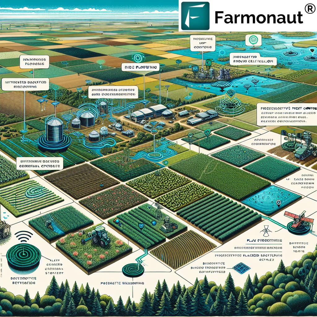
While technological advancements are crucial, the success of sustainable agriculture also hinges on education and supportive policies. The annual meeting in Madison will address these aspects through:
- Agronomic Education: Workshops and seminars to train farmers in the use of GIS and remote sensing tools.
- Policy Discussions: Exploring how government policies can support the adoption of sustainable farming practices.
- Research Presentations: Showcasing the latest findings in agronomic science and sustainable crop management.
These educational initiatives are vital in ensuring that the benefits of advanced agricultural technologies reach all sectors of the farming community.
The Global Impact of Local Innovations
While the focus of the meeting is on Madison and its surrounding regions, the implications of these discussions and innovations are global. The challenges of food security, environmental sustainability, and climate change are universal, and the solutions developed here have the potential to impact agriculture worldwide.
Farmonaut’s approach to making precision agriculture accessible globally aligns perfectly with this vision. Their platform is designed to be adaptable to various agricultural contexts, from small-scale farms in developing countries to large industrial operations in advanced economies.
Integrating GIS and Remote Sensing into Farm Management
For farmers looking to integrate these technologies into their operations, here are some practical steps:
- Start with Basic GIS Tools: Utilize free or low-cost GIS software to map your farm and understand spatial patterns.
- Explore Satellite Imagery: Use platforms like Farmonaut to access and interpret satellite data for your fields.
- Implement IoT Sensors: Start with a few key sensors to monitor critical parameters like soil moisture.
- Attend Training Programs: Participate in workshops or online courses to learn how to effectively use these technologies.
- Collaborate with Experts: Connect with agricultural extension services or consultants who can guide you in implementing precision farming techniques.
By gradually incorporating these technologies, farmers can significantly enhance their crop management practices and move towards more sustainable and profitable operations.
The Role of Data in Modern Agriculture
Data is the lifeblood of precision agriculture. GIS and remote sensing technologies generate vast amounts of data that, when properly analyzed, can provide invaluable insights for farm management. Here’s how data is transforming agriculture:
- Predictive Analytics: Using historical and real-time data to forecast crop yields and potential issues.
- Resource Optimization: Precisely allocating water, fertilizers, and pesticides based on data-driven needs assessment.
- Risk Management: Identifying potential risks early through data analysis, allowing for proactive measures.
- Sustainability Tracking: Monitoring environmental impact and progress towards sustainability goals.
Farmonaut’s platform excels in turning complex agricultural data into actionable insights, making it easier for farmers to make informed decisions.
Overcoming Challenges in Adopting New Technologies
While the benefits of GIS and remote sensing in agriculture are clear, there are challenges in their widespread adoption. These include:
- Initial Investment Costs: The upfront costs of technology can be a barrier for some farmers.
- Technical Knowledge Gap: Many farmers may lack the technical expertise to fully utilize these tools.
- Data Privacy Concerns: There are concerns about the security and ownership of farm data.
- Reliability of Technology: Dependence on technology can be risky if systems fail or data is inaccurate.
Addressing these challenges is crucial for the widespread adoption of sustainable agricultural practices. Companies like Farmonaut are working to overcome these barriers by offering user-friendly, affordable solutions and providing robust customer support and training.
The Intersection of Climate Change and Agriculture
Climate change poses significant challenges to agriculture, but GIS and remote sensing technologies offer powerful tools for adaptation and mitigation. Here’s how these technologies are helping farmers cope with climate-related challenges:
- Climate-Resilient Crop Selection: Using GIS to map changing climate patterns and select appropriate crops.
- Water Management: Optimizing irrigation based on precise climate and soil moisture data.
- Carbon Sequestration: Monitoring and enhancing soil carbon content through targeted management practices.
- Extreme Weather Preparedness: Using advanced weather forecasting models to prepare for and mitigate the impacts of extreme weather events.
By leveraging these technologies, farmers can not only adapt to changing climate conditions but also contribute to mitigating climate change through more sustainable practices.
The Economic Impact of Sustainable Agriculture
Adopting sustainable agriculture practices through GIS and remote sensing technologies doesn’t just benefit the environment; it also has significant economic implications:
- Increased Crop Yields: Precision farming techniques can lead to higher yields and better quality crops.
- Reduced Input Costs: Efficient use of water, fertilizers, and pesticides results in lower operational costs.
- Access to Premium Markets: Sustainably produced crops can command higher prices in certain markets.
- Long-term Soil Health: Sustainable practices ensure long-term productivity and reduce the need for costly soil remediation.
These economic benefits make the adoption of sustainable practices not just environmentally responsible but also financially attractive for farmers.
The Future of Farming: A Sustainable Vision
As we look towards the future, the integration of GIS and remote sensing technologies in agriculture paints a promising picture of sustainable, efficient, and productive farming. This vision includes:
- Smart Farms: Fully integrated systems where all aspects of farm management are data-driven and automated.
- Precision Conservation: Targeted conservation efforts based on detailed environmental data.
- Global Food Security: Improved crop yields and resource efficiency contributing to global food security.
- Sustainable Ecosystems: Agriculture that works in harmony with natural ecosystems, preserving biodiversity.
Realizing this vision will require ongoing innovation, collaboration between technologists and agronomists, and a commitment to sustainable practices from farmers, policymakers, and consumers alike.
Conclusion: A Call to Action for Sustainable Agriculture
The annual meeting in Madison, WI, represents a crucial step forward in the journey towards sustainable agriculture. By bringing together experts in agronomy, GIS, remote sensing, and sustainable farming practices, this event is set to catalyze innovations that will shape the future of farming.
We encourage all stakeholders in the agricultural sector to:
- Stay informed about the latest developments in agricultural technology.
- Explore how GIS and remote sensing can be integrated into your farming practices.
- Participate in educational programs and workshops to enhance your skills in sustainable agriculture.
- Advocate for policies that support the adoption of sustainable farming practices.
- Consider platforms like Farmonaut that make precision agriculture accessible and affordable.
By embracing these technologies and practices, we can work together to create a more sustainable, productive, and resilient agricultural future for Madison, Wisconsin, and beyond.
Farmonaut Subscriptions
Frequently Asked Questions
Q: What is GIS in agriculture?
A: Geographic Information Systems (GIS) in agriculture refers to the use of spatial data and mapping technologies to analyze and manage farm operations. It helps farmers make data-driven decisions about crop management, resource allocation, and land use planning.
Q: How does remote sensing benefit farmers?
A: Remote sensing provides farmers with valuable data about their crops and land without physical contact. It can detect plant health issues, soil moisture levels, and other critical factors, enabling early intervention and more efficient resource management.
Q: What is precision agriculture?
A: Precision agriculture is a farming management concept that uses detailed, site-specific information to precisely manage and optimize agricultural production. It involves technologies like GPS, GIS, and remote sensing to tailor treatments and improve overall efficiency.
Q: How can small-scale farmers benefit from these technologies?
A: Small-scale farmers can benefit from affordable and accessible solutions like Farmonaut, which provide satellite-based crop monitoring and management tools without the need for expensive equipment. These technologies can help improve yields, reduce input costs, and make more informed decisions.
Q: What role does AI play in sustainable agriculture?
A: Artificial Intelligence in agriculture helps analyze vast amounts of data from various sources like satellite imagery, weather stations, and soil sensors. It can predict crop yields, detect diseases early, and provide personalized recommendations for crop management, contributing to more sustainable farming practices.
For more information on how to leverage GIS and remote sensing for sustainable agriculture, explore Farmonaut’s solutions:
API Integration: https://sat.farmonaut.com/api
API Developer Documentation: https://farmonaut.com/farmonaut-satellite-weather-api-developer-docs/
Join us in revolutionizing agriculture through sustainable practices and cutting-edge technology. Together, we can create a more resilient and productive agricultural future.


