Revolutionizing Illinois Agriculture: How GIS and Precision Farming Boost Corn Yields and Sustainability
“Illinois farmers using precision agriculture techniques have increased corn yields by up to 20% while reducing water usage by 15%.”
Welcome to the heartland of America, where the fertile plains of Illinois stretch as far as the eye can see. We’re excited to take you on a journey through the evolving landscape of Illinois agriculture, where cutting-edge technology meets time-honored farming traditions. In this comprehensive exploration, we’ll delve into how GIS in farming and precision agriculture techniques are transforming the way we grow corn, manage resources, and protect our environment.
The Rise of Precision Agriculture in Illinois
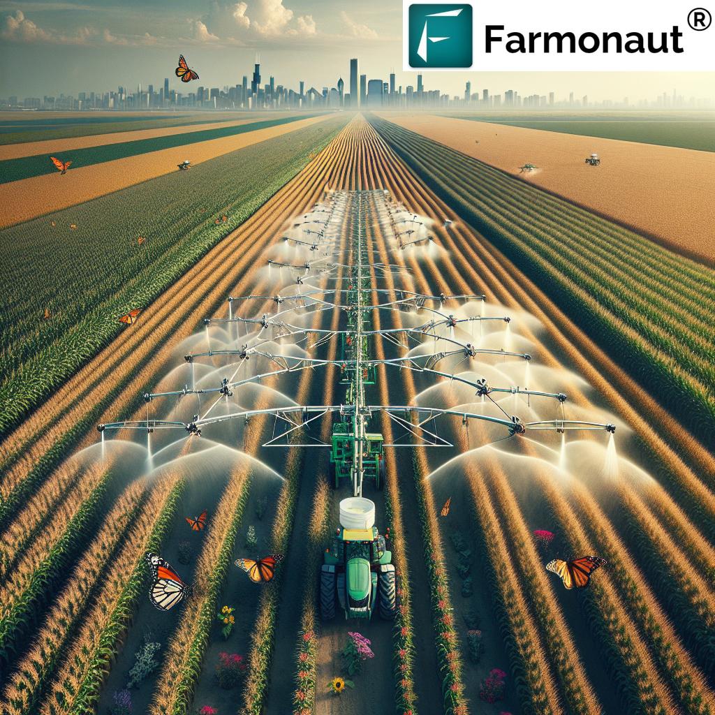
From the bustling streets of Chicago to the quiet farms near Springfield, Illinois is embracing a technological revolution in agriculture. At the forefront of this change is the integration of Geographic Information Systems (GIS) and precision farming techniques. These advanced tools are not just improving yields; they’re reshaping the entire agricultural landscape of the Prairie State.
GIS: The Game-Changer in Modern Farming
GIS in farming has become an indispensable tool for Illinois farmers. By leveraging satellite imagery and data analysis, GIS provides unprecedented insights into field conditions, crop health, and resource management. This technology allows farmers to make data-driven decisions, optimizing every aspect of their operations.
- Precise mapping of field boundaries and soil types
- Real-time monitoring of crop health and growth patterns
- Efficient planning of irrigation and fertilizer application
- Early detection of pest infestations and disease outbreaks
The adoption of GIS technology has been particularly impactful in corn farming Illinois, where it has helped farmers increase yields while reducing input costs. By providing detailed, field-specific data, GIS enables farmers to apply the right amount of water, fertilizers, and pesticides exactly where they’re needed, minimizing waste and environmental impact.
Precision Agriculture Techniques Revolutionizing Illinois Farms
Precision agriculture techniques are taking Illinois farming to new heights. These innovative approaches combine GIS data with advanced machinery and smart sensors to create a highly efficient and sustainable farming system. Let’s explore some of the key techniques that are making a difference:
- Variable Rate Technology (VRT): This allows farmers to adjust the application of inputs like seeds, fertilizers, and pesticides based on specific field conditions.
- GPS-guided tractors: These machines use satellite navigation to operate with centimeter-level accuracy, reducing overlap and improving efficiency.
- Drone technology: Unmanned aerial vehicles provide high-resolution imagery for crop scouting and field analysis.
- IoT sensors: These devices monitor soil moisture, temperature, and other vital parameters in real-time.
The integration of these precision agriculture techniques has led to significant improvements in crop yields, resource efficiency, and overall farm profitability across Illinois.
Corn: The Golden Crop of Illinois
Corn farming Illinois is not just an agricultural activity; it’s a way of life. As one of the top corn-producing states in the nation, Illinois has a rich history and a bright future in corn cultivation. The integration of agricultural technology has been instrumental in maintaining this status and pushing the boundaries of what’s possible in corn production.
Enhancing Corn Yields with Advanced Crop Monitoring
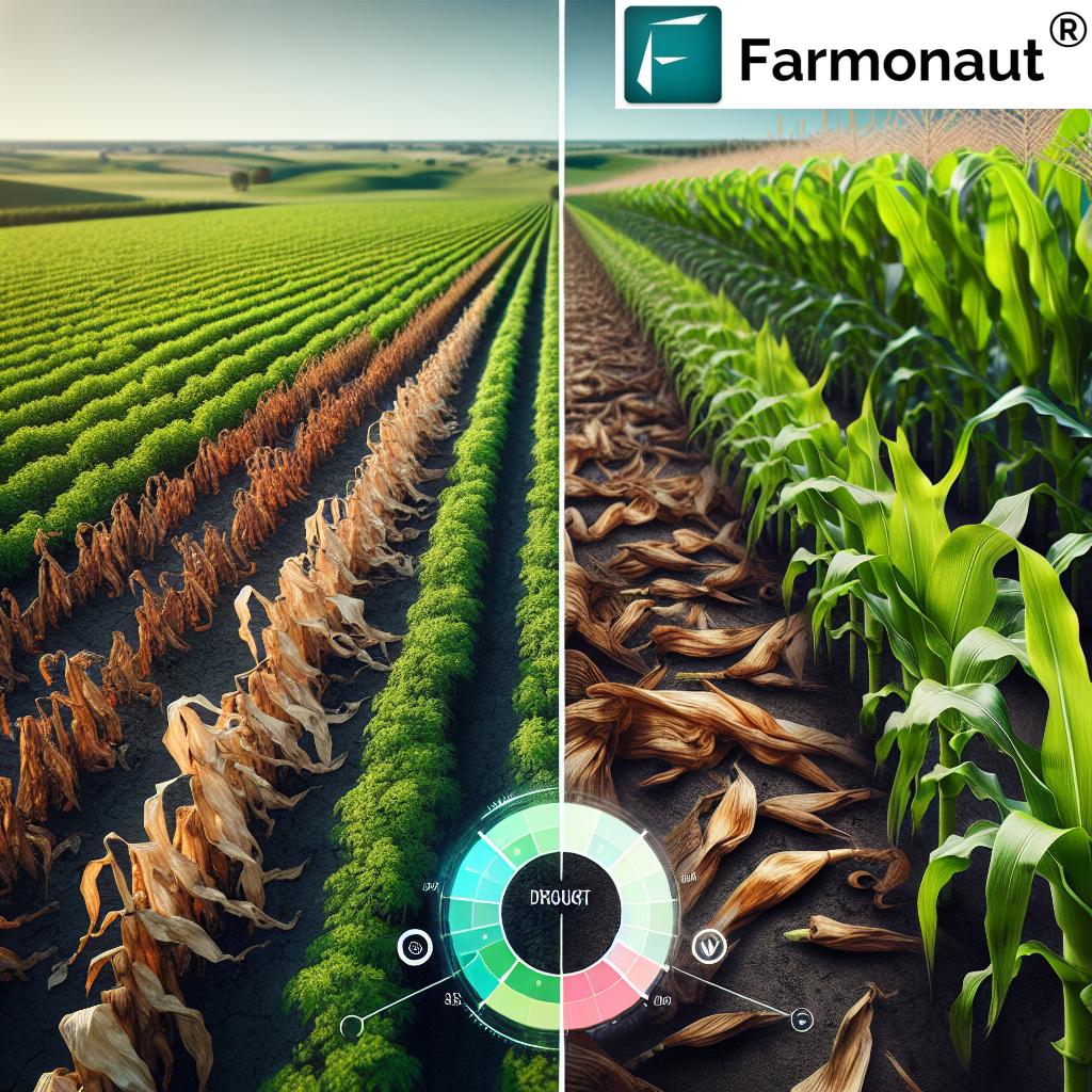
Illinois crop monitoring systems have undergone a significant transformation with the advent of GIS and satellite technology. These systems provide farmers with a wealth of information about their corn fields, including:
- Vegetation indices to assess crop health and vigor
- Soil moisture maps for optimal irrigation planning
- Temperature and precipitation forecasts for informed decision-making
- Historical yield data for trend analysis and future planning
By leveraging these advanced monitoring capabilities, Illinois farmers can identify and address issues before they impact yields, leading to healthier crops and higher productivity.
Sustainable Farming Practices in Corn Production
The adoption of sustainable farming practices is crucial for the long-term viability of Illinois agriculture. Precision farming techniques are playing a vital role in promoting sustainability by:
- Reducing water usage through targeted irrigation
- Minimizing chemical runoff with precise fertilizer application
- Decreasing soil erosion through conservation tillage practices
- Lowering carbon emissions with efficient machinery operation
These practices not only benefit the environment but also contribute to the economic sustainability of farms by reducing input costs and improving long-term soil health.
Irrigation Innovation: Precision Water Management
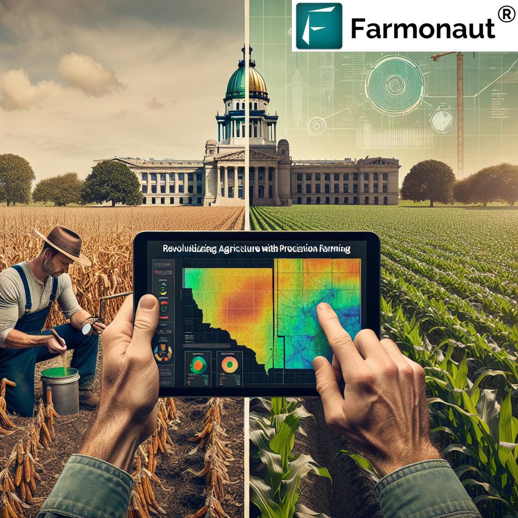
Agricultural irrigation systems in Illinois have undergone a significant transformation with the integration of GIS and precision farming technologies. These advanced systems are crucial for optimizing water use, especially in regions where rainfall can be unpredictable.
Smart Irrigation Technologies
Modern irrigation systems in Illinois corn fields now incorporate:
- Soil moisture sensors for real-time monitoring
- Weather station integration for accurate precipitation forecasting
- Variable rate irrigation systems for targeted water application
- Remote control and automation capabilities for efficient management
These technologies enable farmers to apply water precisely where and when it’s needed, significantly reducing waste and improving crop health.
Water Conservation Strategies
In addition to technological solutions, Illinois farmers are adopting various water conservation strategies to ensure sustainable use of this precious resource:
- Implementing drip irrigation systems for targeted water delivery
- Using cover crops to improve soil water retention
- Practicing crop rotation to optimize water use efficiency
- Investing in water recycling and rainwater harvesting systems
These strategies not only conserve water but also contribute to overall soil health and crop productivity.
“GIS-powered crop monitoring systems in Illinois have helped reduce pesticide use by 30% across 500,000 acres of farmland.”
Tackling Pests and Diseases with Precision
Farm pest management has taken a giant leap forward with the integration of GIS and precision agriculture techniques. Illinois farmers now have access to sophisticated tools and strategies to combat pests and diseases more effectively than ever before.
Advanced Pest Detection and Monitoring
Modern pest management in Illinois corn fields utilizes:
- Satellite and drone imagery for early detection of pest infestations
- AI-powered image analysis to identify pest types and infestation levels
- GIS mapping of pest hotspots for targeted treatment
- Predictive modeling to forecast potential pest outbreaks
These technologies allow farmers to respond quickly and precisely to pest threats, minimizing crop damage and reducing the need for broad-spectrum pesticide applications.
Integrated Pest Management (IPM) Strategies
In line with sustainable farming practices, Illinois farmers are increasingly adopting IPM approaches that combine technology with ecological principles:
- Using biological controls, such as beneficial insects, to manage pest populations
- Implementing crop rotation and diversification to disrupt pest life cycles
- Employing precision spraying techniques for targeted pesticide application
- Utilizing pheromone traps and other non-chemical pest control methods
These integrated strategies not only reduce reliance on chemical pesticides but also promote a healthier, more balanced farm ecosystem.
Fertilizer Management: Precision Application for Optimal Growth
Efficient fertilizer management is crucial for maximizing corn yields while minimizing environmental impact. GIS and precision agriculture techniques have revolutionized how Illinois farmers approach fertilizer application.
Variable Rate Fertilizer Application
Variable rate technology allows farmers to apply fertilizers with unprecedented precision:
- Creating detailed soil nutrient maps using GIS and soil sampling data
- Adjusting fertilizer rates in real-time based on crop needs and soil conditions
- Using GPS-guided equipment for accurate and consistent application
- Implementing split applications to optimize nutrient uptake throughout the growing season
This targeted approach ensures that each part of the field receives exactly the nutrients it needs, reducing waste and improving overall crop health.
Sustainable Nutrient Management Practices
In addition to precision application, Illinois farmers are adopting sustainable nutrient management practices:
- Implementing cover crops to capture and recycle nutrients
- Using slow-release fertilizers to minimize nutrient leaching
- Incorporating crop residues to improve soil organic matter and nutrient retention
- Regularly testing soil and plant tissue to fine-tune nutrient applications
These practices not only improve fertilizer efficiency but also contribute to long-term soil health and environmental sustainability.
GIS and Farmland Management: A New Era of Efficiency
Illinois farmland management has been transformed by the integration of GIS technology. This powerful tool allows farmers and landowners to make informed decisions about land use, crop rotation, and resource allocation.
Comprehensive Land Use Planning
GIS enables comprehensive land use planning by:
- Creating detailed maps of soil types, topography, and drainage patterns
- Identifying optimal areas for different crops based on soil and climate data
- Planning efficient field layouts and access routes
- Monitoring land use changes over time to inform long-term strategies
This data-driven approach to land management helps farmers maximize the productive potential of their land while minimizing environmental impact.
Precision Conservation Practices
GIS also plays a crucial role in implementing precision conservation practices:
- Identifying erosion-prone areas for targeted soil conservation measures
- Planning and monitoring the effectiveness of buffer strips and wildlife corridors
- Optimizing the placement of conservation structures like terraces and grassed waterways
- Tracking the impact of conservation practices on water quality and biodiversity
These practices not only protect the land but also contribute to the overall sustainability of Illinois agriculture.
The Role of Farmonaut in Illinois Agriculture
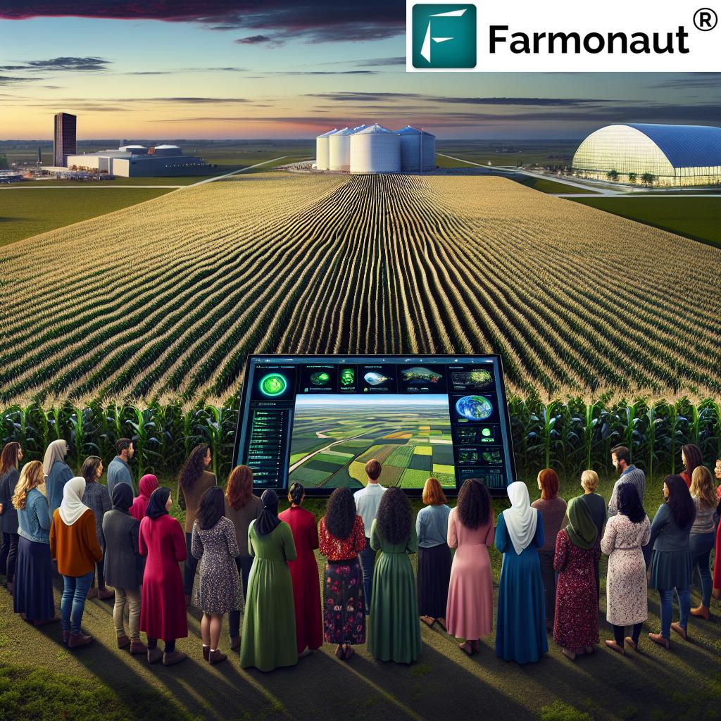
In the rapidly evolving landscape of Illinois agriculture, Farmonaut stands out as a pioneering force in agricultural technology. By leveraging advanced satellite imagery and AI-powered analytics, Farmonaut is empowering Illinois farmers with the tools they need to make data-driven decisions and optimize their operations.
Satellite-Based Crop Monitoring
Farmonaut’s satellite-based crop monitoring system provides Illinois farmers with:
- Real-time vegetation health indices (NDVI) for early detection of crop stress
- Soil moisture maps to guide irrigation decisions
- Crop growth stage monitoring for timely interventions
- Historical data analysis for long-term farm planning
These capabilities allow farmers to respond quickly to changing field conditions, ensuring optimal crop health and yield potential.
AI-Powered Advisory Services
Farmonaut’s Jeevn AI system offers personalized farm advisory services, including:
- Customized crop management recommendations based on field-specific data
- Weather forecasts and alerts tailored to local conditions
- Pest and disease risk assessments for proactive management
- Yield prediction models to aid in harvest planning and marketing decisions
By combining satellite data with AI analytics, Farmonaut provides Illinois farmers with actionable insights that can significantly improve farm productivity and profitability.
The Future of Illinois Agriculture: Balancing Progress and Conservation
As we look to the future of Illinois agriculture, the balance between technological progress and environmental conservation becomes increasingly important. The state’s unique position as both an agricultural powerhouse and home to diverse ecosystems, including the habitat of the iconic monarch butterfly, presents both challenges and opportunities.
Embracing Technology for Sustainable Growth
The continued adoption of precision agriculture techniques and GIS technology will play a crucial role in:
- Increasing crop yields to meet growing food demands
- Reducing the environmental footprint of agricultural operations
- Improving resource efficiency, particularly in water and fertilizer use
- Enhancing farm profitability through data-driven decision making
These advancements will help ensure that Illinois remains a leader in sustainable, high-yield agriculture.
Protecting Biodiversity and Natural Habitats
Alongside technological advancements, efforts to protect Illinois’ natural heritage are gaining momentum:
- Creating pollinator-friendly corridors to support monarch butterflies and other beneficial insects
- Implementing precision conservation techniques to protect sensitive habitats
- Developing strategies to mitigate the impact of climate change on agriculture and ecosystems
- Encouraging the adoption of regenerative farming practices to improve soil health and biodiversity
These initiatives demonstrate that modern agriculture and environmental conservation can coexist and even complement each other.
Comparative Analysis: Traditional vs. Precision Agriculture in Illinois
To better understand the impact of precision agriculture on Illinois corn farming, let’s examine a side-by-side comparison of traditional and modern farming methods:
| Farming Aspect | Traditional Method | Precision Agriculture Method | Estimated Yield Improvement (%) | Sustainability Impact |
|---|---|---|---|---|
| Irrigation | Uniform application across fields | Variable rate irrigation based on soil moisture data | 10-15% | 30% reduction in water usage |
| Fertilizer Application | Blanket application based on general recommendations | Precision application based on soil nutrient maps | 15-20% | 25% reduction in fertilizer use |
| Pest Management | Scheduled, broad-spectrum pesticide applications | Targeted treatments based on real-time pest monitoring | 5-10% | 30% reduction in pesticide use |
| Crop Monitoring | Visual inspections and manual scouting | Satellite and drone-based imaging with AI analysis | 10-15% | Early detection of 90% of crop health issues |
| Planting | Uniform seeding rates across fields | Variable rate seeding based on soil productivity zones | 5-10% | Optimized plant populations for better resource use |
This comparison clearly demonstrates the significant advantages of precision agriculture in terms of both yield improvement and sustainability. By adopting these advanced techniques, Illinois farmers are not only increasing their productivity but also contributing to more sustainable and environmentally friendly agricultural practices.
Accessing Precision Agriculture Tools
For Illinois farmers looking to embrace precision agriculture techniques, there are several ways to access the necessary tools and technologies:
Mobile Applications:
API Access: For developers and businesses looking to integrate precision agriculture data into their own systems, API access is available. Learn more about the Farmonaut API and check out the API Developer Docs for detailed information on implementation.
Frequently Asked Questions
Q: How does GIS technology improve corn farming in Illinois?
A: GIS technology enhances corn farming by providing detailed field maps, real-time crop health monitoring, and data-driven insights for precision application of inputs like water, fertilizers, and pesticides. This leads to improved yields, reduced costs, and more sustainable farming practices.
Q: What are the main benefits of precision agriculture for Illinois farmers?
A: The main benefits include increased crop yields, reduced input costs, improved resource efficiency, better farm management through data-driven decision making, and enhanced environmental sustainability.
Q: How does precision agriculture contribute to environmental conservation in Illinois?
A: Precision agriculture reduces the environmental impact of farming by minimizing water usage, decreasing chemical runoff through targeted application of fertilizers and pesticides, and promoting soil health through optimized land management practices.
Q: Can small-scale farmers in Illinois benefit from precision agriculture technologies?
A: Yes, many precision agriculture tools and technologies are scalable and can be adapted for use on smaller farms. Cloud-based services and mobile applications make these technologies increasingly accessible to farmers of all scales.
Q: How is Illinois addressing the balance between agricultural productivity and biodiversity conservation?
A: Illinois is implementing strategies such as creating pollinator-friendly corridors, adopting precision conservation techniques, and encouraging regenerative farming practices. These efforts aim to maintain agricultural productivity while protecting important ecosystems and wildlife, including the monarch butterfly.
Conclusion: A Bright Future for Illinois Agriculture
As we’ve explored throughout this article, the integration of GIS and precision farming techniques is revolutionizing Illinois agriculture, particularly in the realm of corn farming Illinois. From the bustling agricultural hubs of Bloomington and Springfield to the vast cornfields that stretch across the state, farmers are embracing these innovative technologies to boost yields, improve sustainability, and secure a prosperous future for Illinois farming.
The adoption of advanced crop monitoring systems, efficient irrigation techniques, and data-driven pest management strategies is not just improving productivity; it’s also addressing critical environmental concerns. By reducing water usage, minimizing chemical inputs, and promoting soil health, Illinois farmers are proving that high-yield agriculture and environmental stewardship can go hand in hand.
As we look to the future, the continued integration of GIS and precision agriculture technologies promises to further transform the agricultural landscape of Illinois. With innovative companies like Farmonaut providing cutting-edge tools and insights, farmers across the state are well-equipped to meet the challenges of feeding a growing population while preserving the rich natural heritage of the Prairie State.
The journey of Illinois agriculture is one of constant innovation and adaptation. By embracing the power of technology while respecting the traditions that have long defined farming in this region, Illinois is setting a shining example of how modern agriculture can thrive in harmony with nature. As we move forward, the fields of Illinois will continue to be a testament to the ingenuity, resilience, and forward-thinking spirit of its farmers, ensuring a bountiful harvest for generations to come.


