
Rural Zoning Shift: Crow Wing County Approves 5-Acre Parcels in St. Mathias Township
“Crow Wing County’s zoning amendment allows 5-acre parcels in St. Mathias Township, down from larger agricultural lots previously required.”
In a recent decision that has sparked considerable debate, Crow Wing County has approved a significant change to its rural residential zoning regulations. This amendment, which affects the township land use map of St. Mathias Township, allows for the creation of smaller 5-acre parcels in an area that was previously zoned for larger agricultural lots. This decision highlights the ongoing tension between rural property development and agricultural land preservation, a challenge faced by many rural communities across the United States.
As experts in satellite-based farm management and advocates for sustainable agricultural practices, we at Farmonaut understand the complexities involved in land use decisions. While our primary focus is on providing advanced technological solutions for precision agriculture, we recognize the importance of zoning regulations in shaping the future of rural landscapes. Let’s delve into the details of this case and explore its implications for rural development and farming communities.
The Zoning Amendment: A Closer Look
The recent amendment to the comprehensive plan of Crow Wing County specifically targets a 33.9-acre parcel in St. Mathias Township. The homeowner’s request to change the zoning from agricultural to rural residential was driven by the desire to split off and sell a smaller, buildable portion of the land. This request brought to the forefront the ongoing debate about small parcel zoning changes in traditionally agricultural areas.
Here’s a breakdown of the key aspects of this zoning shift:
- Previous zoning: Larger agricultural lots (10+ acres)
- New zoning: Rural Residential with 5-acre minimum lot size
- Area affected: 33.9-acre parcel in St. Mathias Township
- Primary motivation: Landowner’s desire to subdivide property
This change in zoning regulations reflects a broader trend we’ve observed in many rural areas, where there’s increasing pressure to allow for more residential development in traditionally agricultural zones. As providers of satellite-based farm management solutions, we at Farmonaut are keenly aware of how such changes can impact agricultural operations and rural landscapes.

The Decision-Making Process
The path to this zoning amendment was not without controversy, highlighting the complex interplay between various levels of local governance. Here’s how the process unfolded:
- Initial Application: The process began in January with a Development Review Team meeting, where the property owner presented the proposed project.
- Planning Commission Review: In March, the Planning Commission/Board of Adjustment recommended approval of the zoning change.
- Township Notification: Notices were emailed to the town clerk on March 7, after the township’s monthly meeting on March 3.
- County Board Meeting: The issue came before the Crow Wing County Board on April 8.
- Township Opposition: St. Mathias Township supervisors expressed their opposition to the change just prior to the County Board meeting.
- Final Decision: Despite township objections, the County Board approved the land use map amendment with a 4-1 vote.
This timeline reveals some of the challenges in ensuring timely and effective communication between different levels of local government. It also underscores the importance of proactive engagement in the zoning process for all stakeholders, including residents, township officials, and county decision-makers.
Conflicting Perspectives: Rural Character vs. Property Rights
The debate surrounding this zoning change brings to light two competing viewpoints that are often at odds in rural development discussions:
1. Preserving Rural Character
St. Mathias Township supervisors and some residents argued for maintaining larger lot sizes to preserve the area’s rural character. Their concerns included:
- Desire to maintain a more agricultural landscape
- Concerns about increased density and its impact on rural aesthetics
- Preference for 10-acre minimum lot sizes as outlined in the township’s comprehensive plan
2. Property Owner Rights and Development
Supporters of the zoning change, including some County Board members, emphasized:
- Property owners’ rights to develop their land
- Potential for measured growth and development in the area
- Consistency with existing 5-acre zoning along nearby county roads
This tension between preserving rural character and allowing for property development is a common theme in many rural communities. At Farmonaut, we understand the importance of balancing agricultural preservation with responsible development. Our crop plantation and forest advisory services can help landowners and local governments make informed decisions about land use, taking into account both agricultural potential and development opportunities.

Environmental and Infrastructure Considerations
Beyond the immediate concerns of lot sizes and rural character, zoning decisions like this one have significant implications for the environment and local infrastructure. As providers of advanced agricultural technology, we at Farmonaut are particularly attuned to these considerations:
Environmental Impact
Smaller lot sizes can lead to increased density, potentially affecting:
- Local ecosystems and wildlife habitats
- Water quality due to increased runoff and septic system density
- Soil health and agricultural productivity of remaining farmland
Our carbon footprinting tools can help local governments and landowners assess the environmental impact of land use changes, providing valuable data for decision-making processes.
Infrastructure Challenges
The shift to smaller parcels may necessitate upgrades or changes to local infrastructure, including:
- Road maintenance and potential need for road improvements
- Increased demand on local utilities and services
- Potential strain on emergency services due to increased population density
Local governments must carefully consider these factors when making zoning decisions. Farmonaut’s satellite-based monitoring and analytics can provide valuable insights into land use patterns and help predict infrastructure needs based on development trends.
Comparative Analysis of Rural Zoning Changes
To better understand the implications of this zoning shift, let’s examine a comparative analysis of the changes in St. Mathias Township:
| Zoning Aspect | Previous Regulations | New Regulations | Potential Impact |
|---|---|---|---|
| Minimum Parcel Size | 10+ acres | 5 acres | Approx. 20-30 new parcels possible |
| Allowed Land Uses | Primarily agricultural | Rural residential | Increased housing density, potential reduction in agricultural activity |
| Infrastructure Requirements | Minimal | Moderate | Potential need for road improvements, increased utility demand |
| Environmental Considerations | Low impact | Moderate impact | Increased risk of habitat fragmentation, potential water quality concerns |
| Estimated Number of New Parcels | 1-3 | 6-7 | Significant increase in potential residential development |
This table illustrates the significant changes that can result from seemingly small adjustments to zoning regulations. As providers of advanced agricultural technology, we at Farmonaut understand the importance of data-driven decision-making in land use planning. Our satellite-based monitoring and analytics can provide valuable insights to help local governments and landowners navigate these complex issues.

Lessons Learned and Best Practices
The St. Mathias Township case offers valuable insights for other rural communities facing similar zoning challenges:
1. Early and Proactive Communication
The late involvement of township officials in this case highlights the need for early and proactive communication between all levels of local government. Best practices include:
- Regular updates between county and township officials on pending zoning requests
- Clear timelines and deadlines for providing input on zoning decisions
- Establishment of formal channels for ongoing dialogue between different governmental bodies
2. Comprehensive Planning and Visioning
Communities benefit from having a clear, shared vision for their future development. This involves:
- Regular updates to comprehensive plans with broad community input
- Alignment of township and county-level planning documents
- Incorporation of long-term environmental and economic considerations in land use planning
3. Balancing Competing Interests
Zoning decisions often involve balancing various stakeholder interests. Strategies for achieving this balance include:
- Hosting community forums to gather diverse perspectives
- Conducting impact assessments for proposed zoning changes
- Exploring compromise solutions, such as clustered development or conservation easements
4. Leveraging Technology for Informed Decision-Making
Advanced technologies can provide valuable data to inform zoning decisions. At Farmonaut, we offer tools that can assist in this process:
- Large-scale farm management solutions for assessing agricultural potential of lands
- Satellite-based monitoring for tracking land use changes over time
- AI-driven analytics for predicting the impact of zoning changes on local ecosystems and agricultural productivity
“Rural zoning debates involve multiple governance levels, including township boards, county boards, and environmental services planning departments.”
The Role of Technology in Modern Rural Planning
As we navigate the complexities of rural zoning and development, technology plays an increasingly crucial role in informing decision-making processes. At Farmonaut, we’re at the forefront of this technological revolution in agriculture and land management. Our suite of tools and services can provide valuable insights for rural communities facing zoning challenges:
1. Satellite-Based Crop Health Monitoring
Our advanced satellite imagery analysis can help communities understand the agricultural potential of lands under consideration for rezoning. This includes:
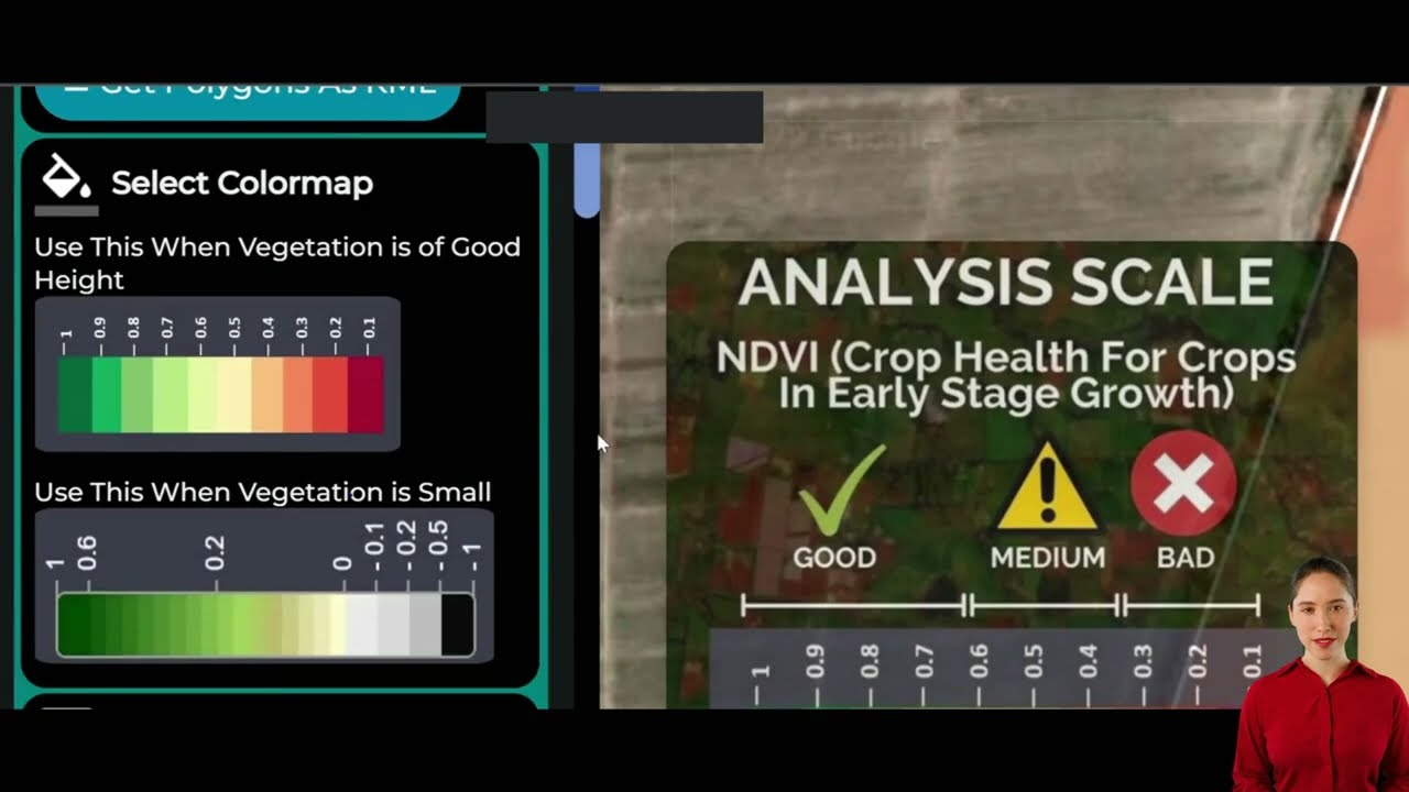
- Vegetation health indices (NDVI) to assess crop productivity
- Soil moisture analysis to determine land suitability for various uses
- Historical land use patterns to inform future planning decisions
2. AI-Driven Advisory Systems
Our Jeevn AI system can provide personalized insights for land management, including:
- Crop suitability recommendations based on soil and climate data
- Predictive analytics for potential impacts of land use changes
- Customized strategies for balancing agricultural preservation with development needs
3. Blockchain-Based Traceability
While primarily used in supply chain management, our blockchain technology can also benefit rural planning by:
- Ensuring transparency in land use decision-making processes
- Creating immutable records of zoning changes and their impacts
- Facilitating trust between various stakeholders in rural development projects
To learn more about how our blockchain-based solutions can enhance transparency in rural planning, visit our traceability page.
4. Resource Management Tools
Our resource management solutions can help rural communities optimize their assets:
- Fleet management for efficient use of agricultural and municipal vehicles
- Water resource monitoring to ensure sustainable use in newly developed areas
- Energy consumption tracking to plan for infrastructure needs in rezoned areas
Explore our fleet management solutions to see how they can benefit rural communities in transition.
The Broader Implications of Rural Zoning Changes
The decision in Crow Wing County to allow smaller parcels in St. Mathias Township is not an isolated incident. It reflects a broader trend of changing land use patterns in rural America. These changes have far-reaching implications that extend beyond the immediate community:
1. Agricultural Productivity and Food Security
As rural land is subdivided and converted to residential use, there’s a potential impact on agricultural productivity. This raises important questions about long-term food security and the sustainability of our agricultural systems. At Farmonaut, we’re committed to helping farmers maximize productivity on existing agricultural lands through precision farming techniques. Our satellite-based crop monitoring can help offset some of the challenges posed by reduced farmland availability.
2. Rural Economic Diversity
Zoning changes that allow for smaller parcels can lead to increased population density in rural areas. This can bring both opportunities and challenges:
- Potential for new businesses and services to support a growing population
- Increased demand for local products, potentially benefiting small-scale farmers
- Challenges in maintaining traditional agricultural economies
3. Environmental Conservation
The fragmentation of rural landscapes can have significant environmental impacts:
- Potential loss of wildlife habitats and corridors
- Increased pressure on water resources and water quality
- Changes in local ecosystems due to altered land use patterns
Our carbon footprinting tools can help communities assess and mitigate the environmental impact of land use changes.
4. Community Character and Social Dynamics
Zoning changes can significantly alter the character and social fabric of rural communities:
- Potential shifts in local politics and governance as demographics change
- Changes in community identity and rural aesthetics
- Potential for increased diversity and new perspectives in traditionally homogeneous rural areas
The Future of Rural Zoning: Balancing Growth and Preservation
As we look to the future, it’s clear that rural communities will continue to face complex decisions about land use and development. At Farmonaut, we believe that technology and data-driven decision-making will play a crucial role in helping communities navigate these challenges. Here are some key considerations for the future of rural zoning:
1. Smart Growth Strategies
Communities should consider adopting smart growth principles that allow for development while preserving rural character:
- Cluster development to preserve open spaces
- Mixed-use zoning to create vibrant rural centers
- Conservation easements to protect critical agricultural and natural lands
2. Adaptive Management Approaches
Given the complexity of rural development issues, an adaptive management approach can be beneficial:
- Regular review and adjustment of zoning regulations based on observed impacts
- Incorporation of new data and technologies in decision-making processes
- Flexibility to respond to changing economic and environmental conditions
3. Collaborative Governance Models
Effective rural planning requires collaboration between various levels of government and stakeholders:
- Establishment of regional planning bodies to address cross-jurisdictional issues
- Increased engagement with residents and local businesses in planning processes
- Partnerships with universities and research institutions for data-driven planning
4. Integration of Advanced Technologies
Leveraging cutting-edge technologies can enhance rural planning and development:
- Use of GIS and satellite data for comprehensive land use mapping
- Implementation of IoT sensors for real-time monitoring of environmental conditions
- Adoption of AI and machine learning for predictive planning and impact assessment
At Farmonaut, we’re committed to providing the technological tools and expertise to support these forward-thinking approaches to rural zoning and development. Our suite of satellite-based solutions and AI-driven analytics can help communities make informed decisions about land use, balancing the needs of development with the preservation of rural character and agricultural productivity.

Conclusion: Embracing Change While Preserving Rural Heritage
The case of Crow Wing County’s decision to allow 5-acre parcels in St. Mathias Township serves as a microcosm of the challenges facing rural communities across America. As we’ve explored, these zoning decisions have far-reaching implications for agricultural productivity, environmental conservation, community character, and economic development.
At Farmonaut, we believe that the key to navigating these complex issues lies in embracing technological innovation while respecting rural traditions and values. Our suite of satellite-based farm management solutions, AI-driven advisory systems, and data analytics tools can provide valuable insights to inform zoning decisions and land use planning.
As rural communities continue to evolve, it’s crucial that all stakeholders – from local residents and farmers to township officials and county boards – work together to create sustainable, forward-thinking land use policies. By leveraging advanced technologies and adopting collaborative, data-driven approaches to rural planning, we can create a future that balances growth and development with the preservation of our precious agricultural lands and rural heritage.
The path forward may not always be smooth, as the St. Mathias Township case demonstrates. However, with open communication, innovative thinking, and the right technological tools, rural communities can navigate these challenges and emerge stronger, more resilient, and better prepared for the future.
FAQ Section
Q: What are the main concerns with allowing smaller parcel sizes in rural areas?
A: The main concerns include potential loss of agricultural land, changes to rural character, increased demand on local infrastructure, and potential environmental impacts such as habitat fragmentation and water quality issues.
Q: How can technology assist in rural zoning decisions?
A: Technology like satellite imagery, GIS mapping, and AI-driven analytics can provide valuable data on land use patterns, agricultural productivity, and potential environmental impacts. This data can inform more accurate and sustainable zoning decisions.
Q: What are some strategies for balancing development with rural preservation?
A: Strategies include cluster development, conservation easements, mixed-use zoning in rural centers, and the use of smart growth principles that allow for measured development while preserving open spaces and agricultural lands.
Q: How can rural communities ensure all stakeholders are heard in zoning decisions?
A: Communities can hold public forums, create advisory committees with diverse representation, use online surveys and feedback tools, and ensure clear, timely communication about proposed zoning changes across all levels of local government.
Q: What role do comprehensive plans play in rural zoning decisions?
A: Comprehensive plans provide a long-term vision for community development and serve as a guide for zoning decisions. They should be regularly updated with broad community input to reflect changing needs and conditions.
Explore Farmonaut’s Solutions
To learn more about how Farmonaut’s advanced agricultural technology can support sustainable rural development and informed land use planning, explore our range of solutions:


For developers interested in integrating our powerful satellite and weather data into their own applications, check out our API and API Developer Docs.
Join the Farmonaut Community
Earn With Farmonaut: Affiliate Program
Earn 20% recurring commission with Farmonaut’s affiliate program by sharing your promo code and helping farmers save 10%. Onboard 10 Elite farmers monthly to earn a minimum of $148,000 annually—start now and grow your income!
Farmonaut Subscriptions
By leveraging Farmonaut’s advanced agricultural technology solutions, rural communities can make more informed decisions about land use and zoning, ensuring a sustainable and prosperous future for generations to come.


