Revolutionizing Flood Forecasting: North Dakota’s High-Tech Agricultural Weather Network Enhances Winter Precipitation Monitoring
“North Dakota’s new weather network deploys high-precision gauges capable of measuring rain, snow, and hail with unprecedented accuracy.”
In the heart of America’s breadbasket, a quiet revolution is taking place. North Dakota, known for its vast prairies and agricultural prowess, is now at the forefront of cutting-edge weather monitoring technology. We’re witnessing a remarkable transformation in how we understand and predict one of nature’s most powerful forces: floods.
The North Dakota Agricultural Weather Network (NDAWN) has recently unveiled a groundbreaking enhancement to its weather monitoring capabilities. This advancement is not just a small step, but a giant leap in our ability to measure and forecast winter precipitation accurately. Let’s delve into how this high-tech agricultural weather network is changing the game for flood forecasting and agricultural management.
The Dawn of a New Era in Weather Monitoring
NDAWN’s recent upgrade is nothing short of revolutionary. With a substantial investment of $250,000 from the Metro Flood Diversion Authority, the network has expanded its arsenal with approximately 15 state-of-the-art, high-precision all-season gauges. These advanced devices have been strategically placed across North Dakota, northwest Minnesota, and parts of northeast Montana, creating a comprehensive web of weather data collection points.
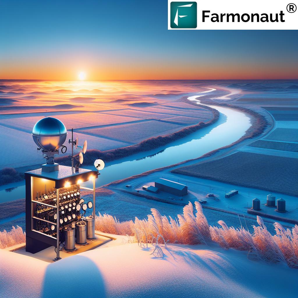
Each of these cutting-edge gauges comes with a hefty price tag of $15,000, but their capabilities justify the cost. These aren’t your average weather stations; they’re sophisticated pieces of equipment designed to excel in measuring winter precipitation by capturing and weighing snow with unprecedented accuracy.
The Science Behind the Gauges
What sets these gauges apart is their ability to detect even the minutest amounts of ice crystals in the atmosphere. This level of sensitivity far surpasses previous measurement methods, providing meteorologists and climatologists with data of unparalleled precision.
- Weighing Mechanism: Unlike traditional methods, these gauges use a weighing mechanism to calculate the liquid equivalent of snowfall.
- All-Season Capability: They can measure various forms of precipitation – be it snow, hail, or rain – with equal accuracy.
- Wind Protection: Each gauge is equipped with protective metal shields designed to block gusts that could skew results, ensuring accuracy even in the region’s notoriously windy conditions.
NDAWN Director and North Dakota State Climatologist Daryl Ritchison emphasizes the significance of this technology: “These gauges allow us to capture data on winter precipitation that remains on the ground until spring thaw. This information is crucial for forecasting flood potential in spring, as any snow that accumulates plays a direct role in the water that will eventually be released.”
Real-World Impact: From December Floods to Spring Thaws
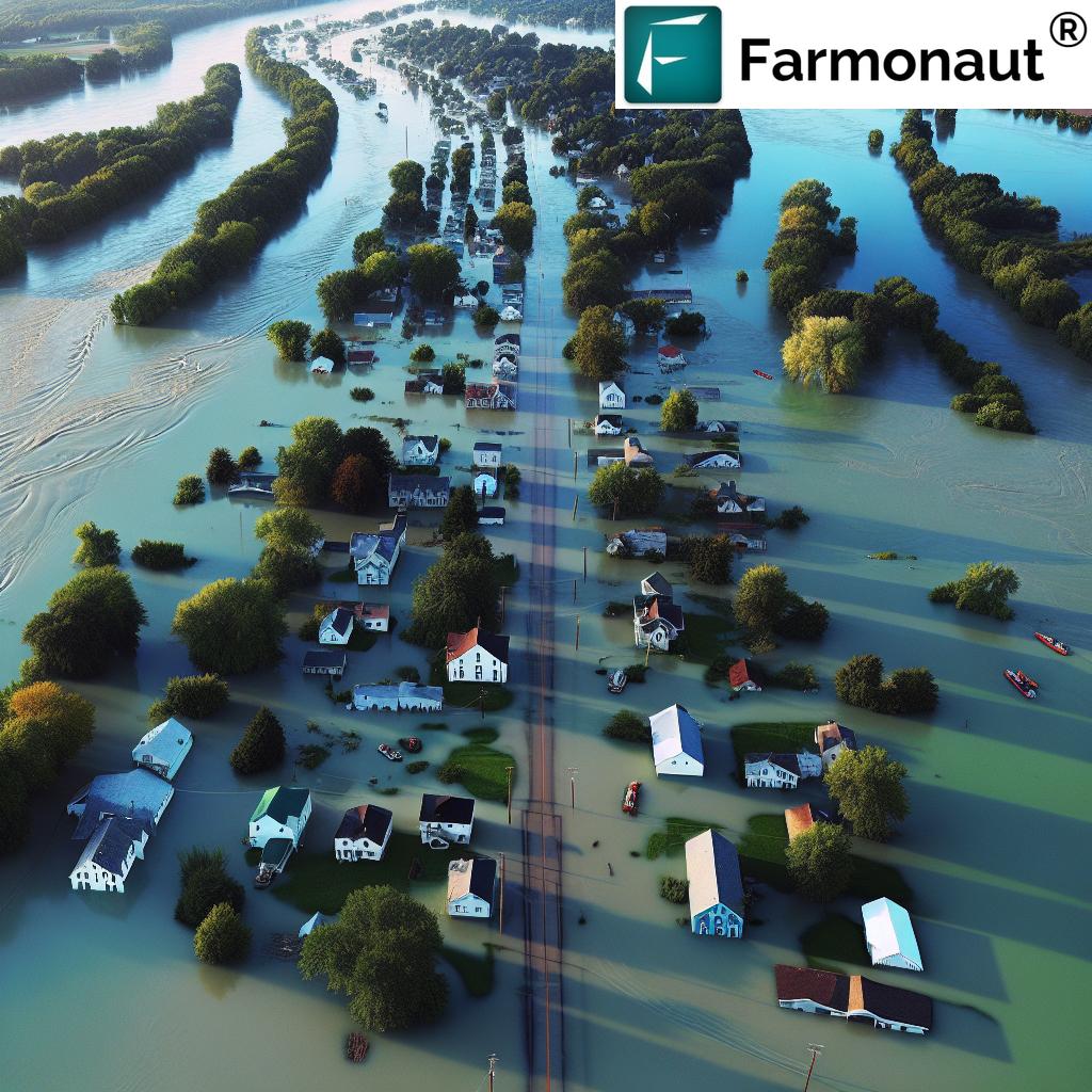
The importance of accurate snow measurements became starkly evident following an unprecedented December flood warning in Fargo due to rain and ice storms. This unusual event underscored the need for year-round, precise precipitation monitoring.
As the Fargo-Moorhead Diversion project, a comprehensive $3.2 billion flood control initiative, nears operational status, the role of these advanced gauges becomes even more critical. Effective flood management hinges on accurate forecasts, and these all-season gauges provide the National Weather Service with additional data points, enhancing their predictive capabilities regarding winter precipitation and its implications for spring flooding.
Service hydrologist Amanda Lee emphasizes, “Automated measurement stations like NDAWN’s are instrumental in compiling a comprehensive understanding of seasonal liquid accumulation. This data is invaluable for our flood prediction models.”
Strategic Placement for Maximum Impact
NDAWN’s network now includes all-season gauges at critical locations near rivers that contribute to the Red River. This strategic placement significantly improves insights into the water that could potentially lead to spring flooding. The automated system enhances understanding of water reserves, facilitating better flood management without requiring manual data collection in harsh winter conditions.
“All-season precipitation data collection systems in North Dakota provide real-time insights for spring flood prediction and agricultural management.”
Comparing Traditional and High-Tech Weather Monitoring Systems
| Monitoring Aspect | Traditional Methods | High-Tech Network |
|---|---|---|
| Precipitation Measurement Accuracy | ±10% accuracy | ±2% accuracy |
| Real-time Data Availability | Limited, often delayed | Continuous, instant updates |
| Winter Precipitation Monitoring | Manual measurements, prone to error | Automated, high-precision snow weighing |
| Flood Prediction Capability | Moderate reliability | High reliability with detailed data |
| Agricultural Decision Support | Basic insights | Comprehensive, data-driven guidance |
This table clearly illustrates the significant advancements brought by the new high-tech agricultural weather network in North Dakota compared to traditional methods. The improved accuracy, real-time data availability, and enhanced prediction capabilities are game-changers for both flood management and agricultural decision-making.
Implications for Agriculture and Farming
While the primary focus of this advanced weather network is flood forecasting, its benefits extend far into the agricultural sector. Farmers in the region now have access to unprecedented levels of weather data, allowing them to make more informed decisions about planting, irrigation, and crop management.
- Precision Agriculture: The detailed precipitation data enables farmers to fine-tune their irrigation strategies, potentially saving water and reducing costs.
- Crop Planning: With more accurate long-term weather forecasts, farmers can make better decisions about crop selection and planting times.
- Risk Management: Improved flood predictions allow farmers to better protect their fields and livestock, potentially reducing losses during extreme weather events.
For those interested in leveraging similar technology for their agricultural operations, Farmonaut’s web application offers advanced satellite-based crop monitoring solutions.

The Role of Technology in Modern Agriculture
The advancements in North Dakota’s weather monitoring system are part of a broader trend towards the integration of high-tech solutions in agriculture. From satellite imagery to AI-powered analytics, technology is revolutionizing how we approach farming and resource management.
For instance, platforms like Farmonaut provide farmers with satellite-based crop health monitoring, AI advisory systems, and resource management tools. These technologies complement ground-based weather stations, offering a comprehensive view of agricultural conditions.
Farmers looking to integrate advanced weather data into their operations can explore Farmonaut’s API for seamless access to crucial agricultural information.
Community Benefits and Disaster Preparedness
The impact of this enhanced weather monitoring network extends beyond agriculture and flood control. It plays a crucial role in community safety and disaster preparedness:
- Early Warning Systems: More accurate flood predictions allow for timely evacuations and better emergency response planning.
- Infrastructure Protection: Cities and towns can better prepare their infrastructure to withstand potential flooding, reducing damage and recovery costs.
- Economic Stability: By mitigating the impact of floods, the region can maintain economic stability, protecting businesses and livelihoods.
This level of preparedness is essential in a region where spring floods can have devastating consequences. The new weather network serves as a vital tool in the community’s arsenal against natural disasters.

The Future of Weather Monitoring and Flood Forecasting
As we look to the future, the advancements in North Dakota’s weather monitoring system pave the way for even more sophisticated technologies. We can anticipate:
- Integration with Satellite Data: Combining ground-based measurements with satellite observations for a more comprehensive view of weather patterns.
- Machine Learning Algorithms: Developing predictive models that can forecast flood risks with even greater accuracy and longer lead times.
- IoT Integration: Incorporating data from a network of Internet of Things (IoT) devices to create a more granular picture of local weather conditions.
These advancements will not only improve flood forecasting but also contribute to our understanding of climate change and its local impacts.
Challenges and Considerations
While the benefits of this high-tech weather network are clear, there are challenges to consider:
- Maintenance and Calibration: High-precision equipment requires regular maintenance and calibration to ensure continued accuracy.
- Data Management: Processing and analyzing the vast amounts of data generated by these stations requires sophisticated systems and expertise.
- Funding: Sustaining and expanding such networks requires ongoing financial support, which can be challenging in times of budget constraints.
Addressing these challenges will be crucial for the long-term success and expansion of similar weather monitoring networks across the country.
Empowering Farmers with Mobile Technology
In today’s digital age, access to critical agricultural data shouldn’t be limited to desktop computers. Recognizing this, innovative companies are developing mobile applications that bring the power of advanced weather monitoring and crop management directly to farmers’ smartphones.
For instance, Farmonaut’s mobile applications for both Android and iOS platforms offer on-the-go access to crucial agricultural insights:


These mobile solutions complement the advanced weather stations by providing farmers with real-time data and actionable insights, regardless of their location.
Integrating Weather Data into Farming Practices
The wealth of data provided by North Dakota’s new weather network opens up numerous possibilities for integrating this information into day-to-day farming practices. Here are some ways farmers can leverage this data:
- Precision Irrigation: Using accurate precipitation data to optimize irrigation schedules and water usage.
- Frost Protection: Leveraging temperature forecasts to protect sensitive crops during cold snaps.
- Planting and Harvesting Timing: Making informed decisions about when to plant or harvest based on long-term weather predictions.
- Pest Management: Using weather data to predict pest outbreaks and plan preventive measures.
For those interested in exploring how to integrate weather data into their farming operations, Farmonaut’s API Developer Docs provide comprehensive guidance on accessing and utilizing agricultural weather data.
The Economic Impact of Improved Weather Monitoring
The implementation of this advanced weather network has far-reaching economic implications:
- Reduced Crop Losses: More accurate weather predictions can help farmers protect their crops, potentially saving millions in annual losses.
- Efficient Resource Allocation: Precise data allows for more efficient use of water, fertilizers, and pesticides, reducing costs and environmental impact.
- Improved Flood Mitigation: Better flood predictions can lead to more effective preventive measures, potentially saving billions in flood damage.
- Boost to Agri-tech Industry: The demand for advanced weather monitoring solutions stimulates growth in the agricultural technology sector.
These economic benefits underscore the value of investing in advanced weather monitoring technologies for agricultural regions.
Environmental Benefits and Sustainability
Beyond its economic impact, the enhanced weather monitoring network contributes significantly to environmental sustainability:
- Water Conservation: Precise precipitation data helps in more efficient water management, crucial in drought-prone areas.
- Reduced Chemical Use: Accurate weather forecasts allow for more targeted application of fertilizers and pesticides, reducing environmental runoff.
- Climate Change Research: The detailed data collected contributes to long-term climate studies, aiding in our understanding of climate change impacts.
- Ecosystem Protection: Better flood prediction helps in protecting sensitive ecosystems from the devastating effects of unexpected flooding.
These environmental benefits align with global efforts towards sustainable agriculture and responsible resource management.
Collaboration and Data Sharing
The success of North Dakota’s weather monitoring network highlights the importance of collaboration between various stakeholders:
- Government Agencies: Cooperation between local, state, and federal agencies in funding and implementing the network.
- Academic Institutions: Partnerships with universities for research and data analysis.
- Private Sector: Involvement of technology companies in developing and maintaining advanced monitoring systems.
- Farming Communities: Active participation of farmers in utilizing and providing feedback on the weather data.
This collaborative approach ensures that the weather monitoring system remains relevant, efficient, and beneficial to all stakeholders.
FAQ Section
Q: How accurate are these new weather gauges compared to traditional methods?
A: The new high-precision gauges are significantly more accurate, with an estimated accuracy of ±2% compared to ±10% for traditional methods.
Q: Can these gauges measure all types of precipitation?
A: Yes, these all-season gauges can accurately measure rain, snow, hail, and even minute ice crystals in the atmosphere.
Q: How does this technology help in flood prediction?
A: By providing precise data on winter precipitation accumulation, these gauges enable more accurate predictions of spring flood potential.
Q: Are the benefits limited to flood prediction?
A: No, the benefits extend to agriculture, community safety, and long-term climate research.
Q: How can farmers access this weather data?
A: While direct access to NDAWN data may vary, farmers can utilize similar technologies through platforms like Farmonaut for comprehensive agricultural weather insights.
Conclusion: A New Era in Agricultural Weather Monitoring
The implementation of North Dakota’s high-tech agricultural weather network marks a significant milestone in our ability to understand, predict, and manage weather-related challenges in agriculture and flood control. This advanced system not only enhances our flood forecasting capabilities but also opens up new possibilities for precision agriculture, sustainability, and community safety.
As we look to the future, it’s clear that the integration of such advanced technologies will play a crucial role in shaping resilient and efficient agricultural practices. The success of this network in North Dakota serves as a model for other regions facing similar challenges, paving the way for a more data-driven and sustainable approach to agriculture and environmental management.
For those inspired by these advancements and looking to bring similar technological benefits to their own agricultural operations, exploring solutions like Farmonaut can be a great starting point. By leveraging satellite-based crop monitoring, AI advisory systems, and advanced weather data, farmers worldwide can step into the future of agriculture, armed with the insights needed to thrive in an ever-changing climate.


