Unlocking Precision Agriculture: How Farmonaut’s Satellite Data Revolutionizes US Drought Monitoring and Crop Health
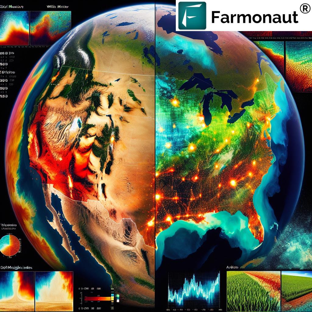
“The U.S. Drought Monitor combines data from over 350 experts nationwide to produce weekly drought maps.”
In today’s rapidly changing agricultural landscape, the importance of drought monitoring tools and soil moisture analysis cannot be overstated. As we navigate the challenges posed by climate change and increasing water scarcity, precision agriculture technology has emerged as a game-changer for farmers and agricultural stakeholders across the United States. At the forefront of this revolution is the U.S. Drought Monitor (USDM), a comprehensive system that harnesses the power of satellite data for agriculture to track and analyze drought conditions nationwide.
In this blog post, we’ll delve deep into the world of agricultural drought indicators, exploring how innovative technologies like those offered by Farmonaut are transforming the way we approach crop health monitoring and water resource management in agriculture. We’ll examine the intricate relationship between soil moisture, precipitation, and crop yield, and discover how this knowledge can be applied to improve agricultural practices and ensure food security for future generations.
Understanding the U.S. Drought Monitor (USDM)
The U.S. Drought Monitor is a vital tool in the fight against drought, providing weekly updates on drought conditions across the nation. By combining satellite data, climate science, and on-the-ground observations, the USDM offers a comprehensive view of drought severity and its impacts on agriculture, water resources, and ecosystems.
Key Components of the USDM
- Satellite imagery: High-resolution satellite data provides crucial information on vegetation health, soil moisture, and temperature anomalies.
- Climate data: Precipitation records, temperature data, and historical climate information help contextualize current conditions.
- Expert input: A network of over 350 local experts contributes their observations and insights to refine the drought assessments.
- GIS technology: Advanced Geographic Information Systems (GIS) are used to create detailed US drought maps and visualizations.
The USDM uses a classification system that ranges from D0 (Abnormally Dry) to D4 (Exceptional Drought), allowing for a nuanced understanding of drought conditions across different regions. This information is crucial for implementing effective drought mitigation strategies and allocating resources where they’re needed most.
Agricultural Drought Indicators: The Backbone of Precision Farming
To truly understand the impact of drought on agriculture, we must look beyond simple rainfall measurements. Modern agricultural drought indicators provide a more comprehensive picture of crop health and soil conditions. Let’s explore some of the key indicators used in precision agriculture:
1. Vegetative Health Index (VHI)
The Vegetative Health Index is a powerful tool that combines temperature and vegetation data to assess plant health. By analyzing satellite imagery, the VHI can detect stress in crops before visible symptoms appear, allowing farmers to take proactive measures.
2. Standardized Precipitation Index (SPI)
The SPI measures precipitation anomalies over different time scales, providing insights into both short-term and long-term drought conditions. This versatility makes it an essential tool for agricultural planning and water resource management.
3. Soil Moisture Analysis
Advanced soil moisture sensors and satellite-based measurements offer real-time data on soil water content. This information is crucial for optimizing irrigation strategies and predicting crop yield potential.
4. Evaporative Stress Index (ESI)
The ESI uses land surface temperature data to estimate evapotranspiration rates, providing early warning signs of agricultural drought. This indicator is particularly useful in regions where traditional precipitation measurements may not fully capture drought stress on vegetation.
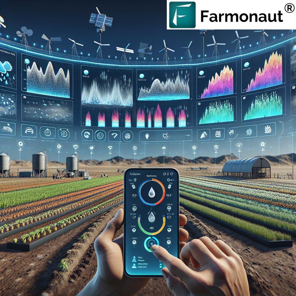
Leveraging Satellite Data for Precision Agriculture
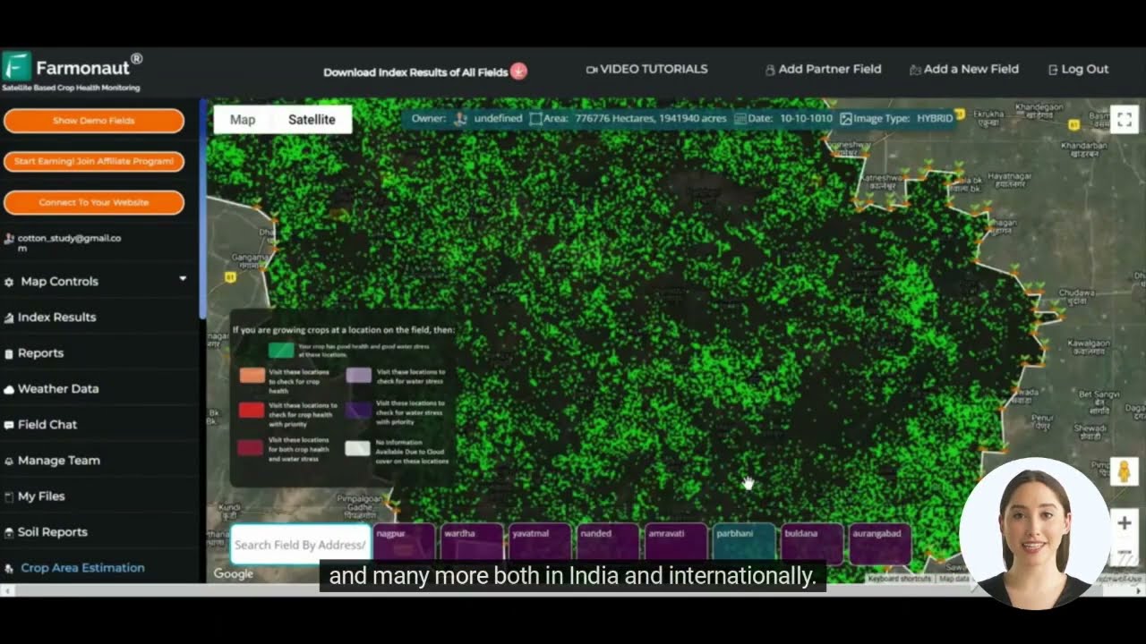
The integration of satellite technology in agriculture has revolutionized the way we monitor and manage crops. Farmonaut, a leading provider of satellite-based farm management solutions, is at the forefront of this transformation. By harnessing the power of multispectral satellite imagery, Farmonaut offers farmers unprecedented insights into their fields.
Key benefits of satellite data in agriculture include:
- Real-time crop health monitoring
- Early detection of pest infestations and disease outbreaks
- Optimization of irrigation and fertilizer application
- Accurate yield predictions and harvest planning
With Farmonaut’s advanced platform, farmers can access these insights through user-friendly mobile and web applications, making precision agriculture accessible to operations of all sizes.
The Role of GIS and Remote Sensing in Drought Monitoring
Geographic Information Systems (GIS) and remote sensing technologies play a crucial role in creating accurate and timely US drought maps. These advanced tools allow for the collection, analysis, and visualization of vast amounts of spatial data, providing a comprehensive view of drought conditions across the country.
Benefits of GIS in Drought Monitoring:
- Spatial analysis of drought patterns and trends
- Integration of multiple data sources for more accurate assessments
- Creation of interactive maps for better decision-making
- Improved communication of drought information to stakeholders
Remote sensing technologies, such as those employed by Farmonaut, complement GIS by providing high-resolution, up-to-date imagery of agricultural lands. This combination of technologies enables more precise drought monitoring and facilitates the development of targeted mitigation strategies.
Climate Change and Its Impact on Agriculture
The climate change impact on farming is becoming increasingly evident, with shifting weather patterns, more frequent extreme events, and changing growing seasons posing significant challenges to agricultural production. Understanding these impacts is crucial for developing resilient farming practices and ensuring food security in the face of a changing climate.
Key Climate Change Impacts on Agriculture:
- Increased frequency and severity of droughts
- Changes in precipitation patterns and water availability
- Rising temperatures and heat stress on crops
- Shifts in pest and disease prevalence
- Altered growing seasons and crop suitability zones
By leveraging advanced drought monitoring tools and precision agriculture technology, farmers can better adapt to these challenges. Farmonaut’s satellite-based solutions provide valuable insights that help farmers make informed decisions in the face of climate uncertainty.
Water Resource Management in Agriculture
Water resource management in agriculture is a critical aspect of sustainable farming, especially in regions prone to drought. Efficient water use not only helps conserve this precious resource but also contributes to improved crop yields and reduced production costs.
Strategies for Effective Water Management:
- Precision irrigation: Using soil moisture data and crop water requirements to apply water only where and when it’s needed.
- Drought-resistant crop varieties: Selecting and breeding crops that can thrive with less water.
- Conservation tillage: Minimizing soil disturbance to retain moisture and reduce evaporation.
- Water harvesting: Collecting and storing rainwater for use during dry periods.
- Efficient irrigation systems: Implementing technologies like drip irrigation and sprinklers to minimize water waste.
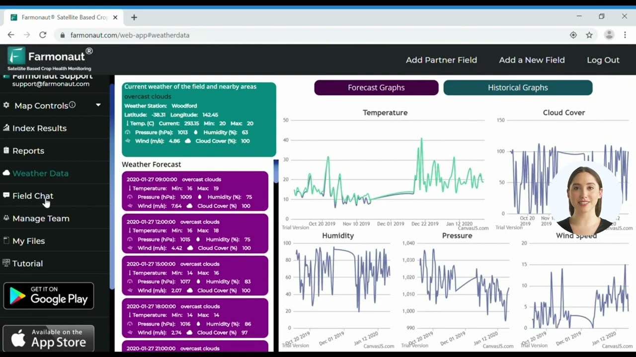
Farmonaut’s satellite-based monitoring systems play a crucial role in supporting these strategies by providing real-time data on soil moisture levels and crop water stress. This information enables farmers to make data-driven decisions about irrigation timing and volume, optimizing water use efficiency.
Explore Farmonaut’s API for advanced water management solutions
Crop Health Monitoring Systems: The Future of Agriculture
Crop health monitoring systems are revolutionizing the way farmers approach plant care and yield optimization. These advanced technologies provide real-time insights into crop conditions, allowing for early detection of issues and timely interventions.
Key Components of Modern Crop Health Monitoring:
- Satellite imagery analysis: Using multispectral data to assess vegetation health and detect anomalies.
- IoT sensors: Deploying in-field sensors to measure soil conditions, temperature, and humidity.
- AI and machine learning: Analyzing data patterns to predict potential issues and recommend solutions.
- Mobile applications: Providing farmers with easy access to crop health information and management tools.
Farmonaut’s comprehensive platform integrates these components, offering farmers a powerful tool for monitoring and managing their crops. By leveraging satellite data and advanced analytics, Farmonaut enables proactive crop management, leading to improved yields and reduced environmental impact.
“Farmonaut’s satellite-based crop health monitoring can detect stress in plants up to 2 weeks before visible symptoms appear.”
The U.S. Drought Monitor: A Closer Look
The U.S. Drought Monitor (USDM) is a collaborative effort between the National Drought Mitigation Center, the U.S. Department of Agriculture, and the National Oceanic and Atmospheric Administration. This powerful tool provides weekly updates on drought conditions across the United States, serving as a crucial resource for farmers, policymakers, and researchers.
Key Features of the USDM:
- Comprehensive coverage: Monitors drought conditions across all 50 states, Puerto Rico, and the U.S. affiliated Pacific Islands.
- Multiple indicators: Incorporates various drought indices, including the SPI, streamflow data, and soil moisture measurements.
- Expert input: Relies on a network of over 450 observers across the country to provide on-the-ground assessments.
- Timely updates: Releases new drought maps every Thursday, reflecting the most current conditions.
- Historical data: Maintains an archive of drought information dating back to 2000, allowing for long-term trend analysis.
The USDM’s drought classification system provides a nuanced view of drought severity, ranging from D0 (Abnormally Dry) to D4 (Exceptional Drought). This detailed information is crucial for implementing targeted drought mitigation strategies and allocating resources effectively.
Farmonaut: Revolutionizing Drought Monitoring and Crop Health
As we’ve explored the critical importance of drought monitoring and crop health management, it’s clear that innovative solutions are needed to address the challenges facing modern agriculture. Farmonaut stands at the forefront of this agricultural revolution, offering cutting-edge satellite-based farm management solutions that empower farmers to make data-driven decisions.
Farmonaut’s Key Offerings:
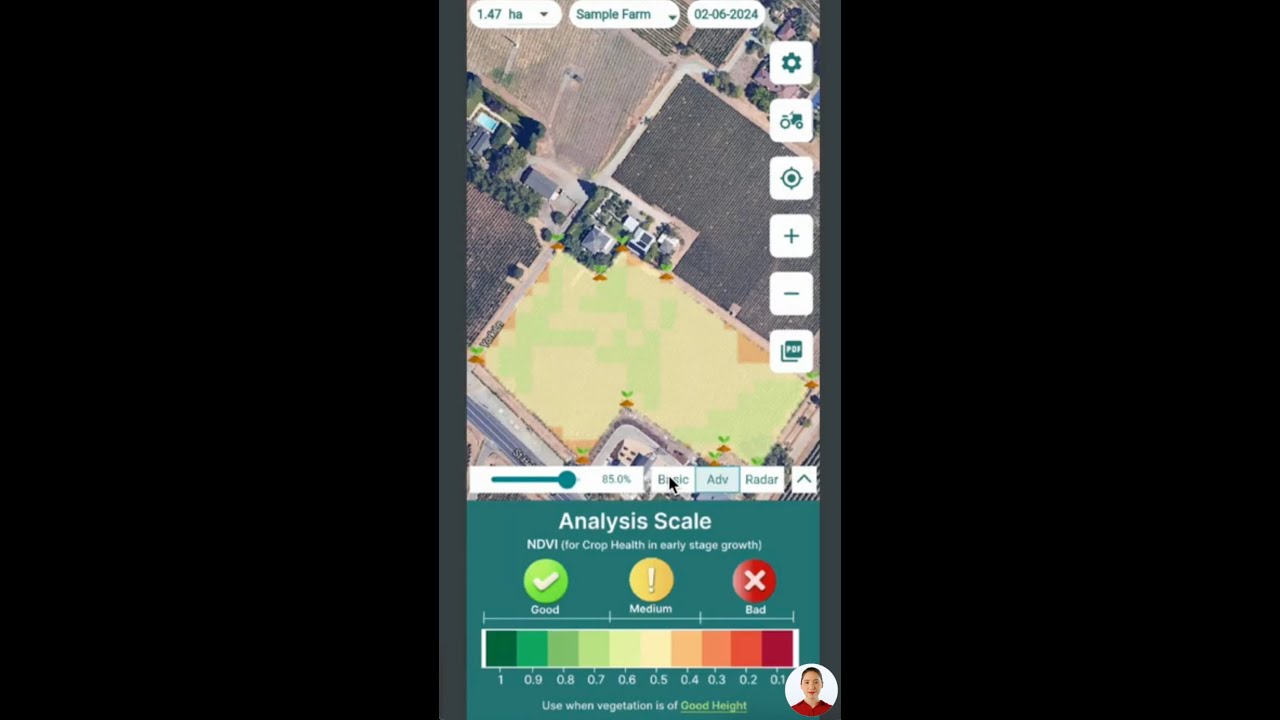
- Real-time crop health monitoring: Leveraging multispectral satellite imagery to provide up-to-date insights on vegetation health, soil moisture, and potential stress factors.
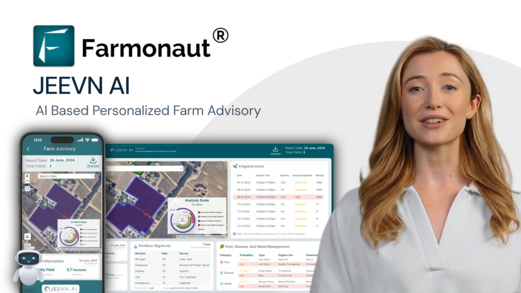
- AI-powered advisory system: The Jeevn AI tool delivers personalized recommendations based on satellite data analysis, helping farmers optimize their crop management strategies.
- Blockchain-based traceability: Enhancing supply chain transparency and building consumer trust through secure, verifiable data on product origins.
- Resource management tools: Offering solutions for efficient fleet management and carbon footprint tracking, promoting sustainability in agricultural operations.
By making these advanced technologies accessible and affordable, Farmonaut is democratizing precision agriculture, enabling farmers of all scales to benefit from data-driven insights and improve their productivity.
The Future of Drought Monitoring and Precision Agriculture
As we look to the future, it’s clear that the integration of advanced technologies like satellite imagery, AI, and blockchain will continue to transform the agricultural landscape. The ability to monitor and respond to drought conditions with unprecedented precision will be crucial in addressing the challenges posed by climate change and increasing water scarcity.
Emerging Trends in Agricultural Technology:
- Hyperspectral imaging: Providing even more detailed insights into crop health and soil conditions.
- Edge computing: Enabling faster data processing and real-time decision-making in the field.
- 5G connectivity: Facilitating seamless data transfer and communication between farm equipment and management systems.
- Predictive analytics: Leveraging big data to forecast drought conditions and optimize crop planning.
As these technologies continue to evolve, platforms like Farmonaut will play an increasingly vital role in helping farmers adapt to changing conditions and maximize their productivity while minimizing environmental impact.
Drought Severity Comparison by Region
| Region | Drought Severity Index (0-5) | Vegetative Health Index (0-100) | Soil Moisture Content (%) | Crop Yield Impact (% decrease) |
|---|---|---|---|---|
| Midwest | 2.5 | 65 | 40% | 15% |
| California Central Valley | 4.0 | 35 | 25% | 30% |
| Great Plains | 3.5 | 50 | 30% | 25% |
| Southeast | 1.5 | 80 | 55% | 5% |
This table provides a clear overview of drought conditions across major U.S. agricultural regions, highlighting the variations in severity and their impact on crop yields. By leveraging satellite data and advanced monitoring tools, farmers and agricultural stakeholders can gain valuable insights into these regional differences and develop targeted strategies for drought mitigation and crop management.
Conclusion: Embracing Technology for a Sustainable Agricultural Future
As we’ve explored throughout this blog post, the integration of advanced drought monitoring tools, satellite data, and precision agriculture technology is revolutionizing the way we approach farming in the face of climate change and water scarcity. The U.S. Drought Monitor, coupled with innovative solutions like those offered by Farmonaut, provides farmers with unprecedented insights into crop health, soil moisture, and drought conditions.
By embracing these technologies, we can:
- Improve water resource management in agriculture
- Enhance crop yields and quality
- Reduce environmental impact through more efficient resource use
- Build resilience against the impacts of climate change
- Ensure food security for future generations
As we move forward, it’s clear that the future of agriculture lies in the smart integration of data-driven insights and traditional farming wisdom. By leveraging platforms like Farmonaut, farmers of all scales can access the benefits of precision agriculture, contributing to a more sustainable and productive agricultural sector.
We encourage you to explore the possibilities offered by these advanced technologies and consider how they can be applied to your own agricultural practices. Together, we can build a more resilient and sustainable future for farming.
FAQs
- What is the U.S. Drought Monitor (USDM)?
The USDM is a comprehensive system that combines satellite data, climate science, and expert input to track and analyze drought conditions across the United States on a weekly basis. - How does Farmonaut use satellite data for agriculture?
Farmonaut leverages multispectral satellite imagery to provide real-time insights on crop health, soil moisture levels, and other critical metrics, helping farmers make informed decisions about irrigation, fertilizer usage, and pest management. - What are some key agricultural drought indicators?
Important indicators include the Vegetative Health Index (VHI), Standardized Precipitation Index (SPI), soil moisture analysis, and the Evaporative Stress Index (ESI). - How does climate change impact farming?
Climate change affects agriculture through increased frequency and severity of droughts, changes in precipitation patterns, rising temperatures, shifts in pest and disease prevalence, and altered growing seasons. - What are some effective water resource management strategies in agriculture?
Key strategies include precision irrigation, using drought-resistant crop varieties, conservation tillage, water harvesting, and implementing efficient irrigation systems.


