Revolutionizing Agriculture: How Farmonaut’s Technology is Transforming Ground-Level Surveys and Farm Management

In today’s rapidly evolving agricultural landscape, the need for efficient and scalable solutions to gather crucial farm data has never been more pressing. At Farmonaut, we understand the challenges faced by farmers, agronomists, and agricultural organizations when it comes to conducting comprehensive ground-level surveys. Traditional methods of data collection are often time-consuming, labor-intensive, and financially draining, especially when dealing with large-scale operations. That’s why we’ve dedicated ourselves to developing cutting-edge technologies that address these issues head-on.
The Challenge of Ground-Level Surveys in Agriculture
Before delving into the solutions, let’s examine the complexities surrounding ground-level surveys in agriculture:
- Time constraints: Visiting each farm individually requires significant time investment, especially for large-scale operations.
- Financial burden: Deploying teams for on-site surveys incurs substantial costs in terms of travel, accommodation, and labor.
- Logistical hurdles: Coordinating and managing survey teams across vast agricultural areas presents numerous logistical challenges.
- Data inconsistency: Manual data collection methods can lead to inconsistencies and human errors in reporting.
- Limited scalability: As the survey area expands, traditional methods become increasingly impractical and inefficient.
These challenges have long hindered the ability of agricultural stakeholders to gather comprehensive, real-time data on farming conditions, crop health, and other critical parameters. However, with the advent of advanced technologies, we at Farmonaut have developed innovative solutions to overcome these obstacles.
Farmonaut’s Technological Solutions
At Farmonaut, we leverage a powerful combination of satellite imagery, artificial intelligence, and data analytics to revolutionize the way ground-level surveys are conducted. Our suite of tools and services includes:
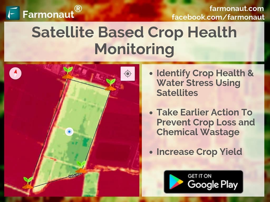
1. Satellite-Based Crop Health Monitoring
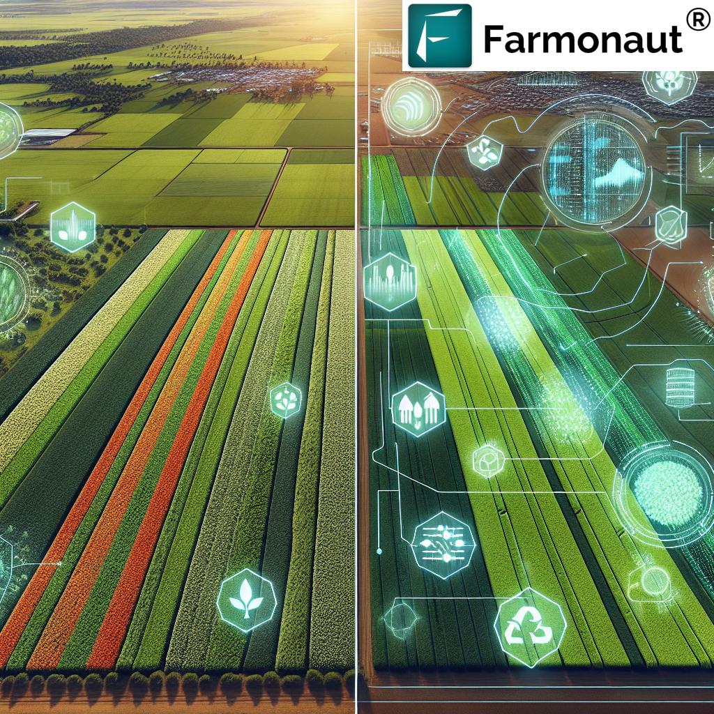
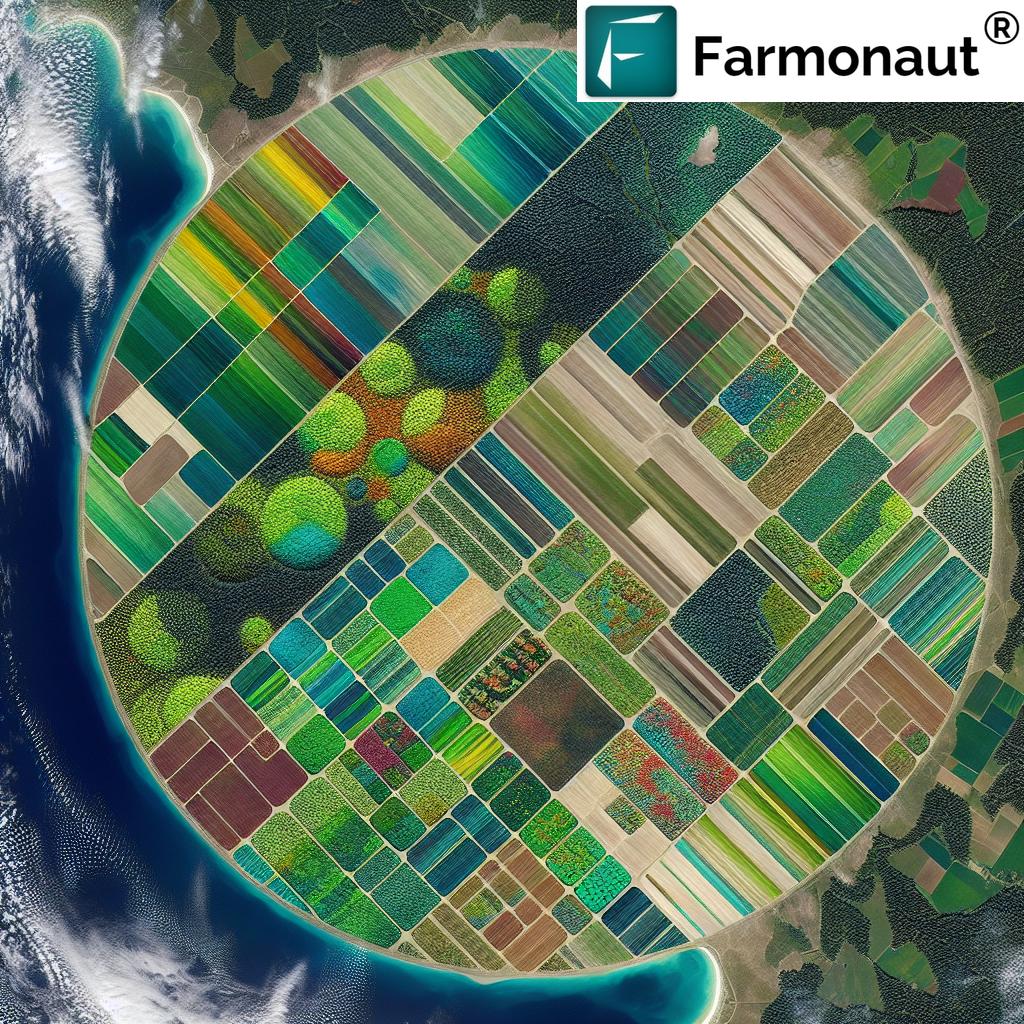
Our state-of-the-art satellite technology allows us to capture high-resolution, multispectral images of agricultural lands. These images provide invaluable insights into various aspects of crop health and farm conditions, including:
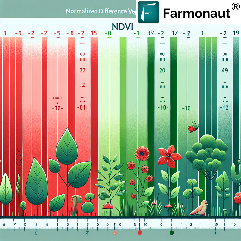
- Vegetation health (NDVI – Normalized Difference Vegetation Index)
- Soil moisture levels
- Crop stress indicators
- Growth patterns
- Field anomalies
By utilizing satellite imagery, we eliminate the need for physical visits to each farm, dramatically reducing the time and resources required for data collection. Our
crop sensing system provides a comprehensive overview of vast agricultural areas, enabling stakeholders to make informed decisions based on accurate, up-to-date information.
2. AI-Powered Analysis: Jeevn AI Advisory System
Raw data alone is not enough to drive meaningful change in agricultural practices. That’s why we’ve developed the Jeevn AI Advisory System, an advanced artificial intelligence tool that analyzes the satellite data and provides actionable insights to farmers and agricultural professionals.
Our AI system considers various factors, including:
- Historical crop data
- Weather patterns
- Soil conditions
- Pest and disease prevalence
- Market trends
By processing this wealth of information, Jeevn AI generates personalized recommendations for crop management, irrigation strategies, fertilizer application, and pest control. This
smart farming approach empowers farmers to optimize their resources and maximize yields while minimizing environmental impact.
3. Crop Survey Dashboard
To make our data and insights easily accessible, we’ve developed a user-friendly
crop survey dashboard. This intuitive interface allows users to:
- Visualize satellite imagery of their farms
- Track crop health indicators over time
- Access AI-generated recommendations
- Generate custom reports
- Set alerts for potential issues
Our dashboard serves as a centralized hub for all farm-related information, enabling stakeholders to make data-driven decisions with confidence. Whether you’re managing a small family farm or overseeing large-scale agricultural operations, our crop survey dashboard provides the insights you need to succeed.
4. Blockchain-Based Product Traceability
In today’s global marketplace, consumers are increasingly concerned about the origin and journey of their food. To address this need for transparency, we’ve integrated blockchain technology into our platform, offering unparalleled traceability solutions for the agricultural industry.
Our blockchain-based system allows for:
- Secure and tamper-proof record-keeping
- Real-time tracking of agricultural products from farm to table
- Verification of organic and sustainable farming practices
- Enhanced food safety through rapid identification of contamination sources
- Improved supply chain efficiency
By implementing this technology, we’re not only meeting consumer demands for transparency but also helping farmers and agribusinesses build trust and differentiate their products in a competitive market.
5. Fleet and Resource Management
Efficient management of agricultural machinery and resources is crucial for optimizing farm operations. Our platform includes advanced tools for fleet and resource management, enabling agribusinesses to:
- Track and monitor agricultural vehicles in real-time
- Optimize route planning for fieldwork
- Schedule maintenance and repairs proactively
- Monitor fuel consumption and emissions
- Allocate resources more effectively
By streamlining these operational aspects, we help farms of all sizes reduce costs, improve productivity, and minimize their environmental footprint.
6. Carbon Footprinting
As the agricultural sector faces increasing pressure to address climate change, we’ve developed tools to help farmers and agribusinesses monitor and reduce their carbon emissions. Our carbon footprinting feature provides:
- Real-time tracking of greenhouse gas emissions
- Identification of major emission sources
- Recommendations for emission reduction strategies
- Carbon offset opportunities
- Compliance reporting for environmental regulations
By offering these insights, we empower agricultural stakeholders to take proactive steps towards sustainability and contribute to global climate mitigation efforts.
The Advantages of Farmonaut’s Satellite System
While there are various technologies available for farm monitoring, including drones and IoT devices, our satellite-based system offers unique advantages. Let’s compare these approaches:
| Feature |
Farmonaut Satellite System |
Drone-based Monitoring |
IoT-based Monitoring |
| Coverage Area |
Large scale (regional to global) |
Limited (local) |
Limited (field-specific) |
| Data Collection Frequency |
Regular (daily to weekly) |
On-demand (weather dependent) |
Continuous |
| Initial Setup Cost |
Low |
High (equipment and training) |
Moderate to High (sensors and network) |
| Operational Complexity |
Low (cloud-based) |
High (skilled operators required) |
Moderate (maintenance of sensors) |
| Data Processing |
Automated (AI-powered) |
Semi-automated |
Automated |
| Scalability |
Highly scalable |
Limited scalability |
Moderate scalability |
| Weather Independence |
High (cloud penetration capabilities) |
Low (affected by wind, rain) |
Moderate (some sensors weather-sensitive) |
| Regulatory Compliance |
Straightforward |
Complex (airspace regulations) |
Moderate (frequency regulations) |
As demonstrated in the comparison above, our satellite-based system offers unparalleled advantages in terms of coverage, scalability, and ease of use, making it the ideal choice for comprehensive farm monitoring and management.
Real-Time Farm Tracking: Beyond Satellite Imagery
While our satellite-based solutions form the core of our offerings, we understand that some agricultural applications require more frequent, granular data collection. To address these needs, we’ve developed complementary technologies that work in tandem with our satellite system:
Real-Time Farm Trackers Devices
Our
real-time farm trackers devices are compact, weather-resistant units that can be deployed across agricultural lands to collect data on various parameters, including:
- Soil moisture and temperature
- Air temperature and humidity
- Light intensity
- Wind speed and direction
- Rainfall
These devices transmit data in real-time to our central platform, providing farmers with up-to-the-minute information on field conditions. When combined with our satellite imagery and AI analysis, these trackers offer an unparalleled level of insight into farm operations.
Remote Farm Trackers System
Our
remote farm trackers system takes farm monitoring to the next level by integrating data from various sources, including:
- Satellite imagery
- Ground-based sensors
- Weather stations
- Drone imagery (where available)
- Historical farm data
This comprehensive system provides a holistic view of farm conditions, enabling farmers and agricultural professionals to make informed decisions based on a wealth of data. The remote nature of this system means that farmers can monitor their operations from anywhere in the world, using our mobile app or web interface.
The Future of Agriculture with Farmonaut
As we continue to innovate and expand our services, we envision a future where agriculture is more efficient, sustainable, and productive than ever before. Our ongoing research and development efforts focus on:
- Enhancing the resolution and frequency of satellite imagery
- Improving AI algorithms for more accurate predictions and recommendations
- Developing new sensors and tracking devices for specific crop types and farming practices
- Expanding our blockchain-based traceability solutions to cover more agricultural products
- Integrating emerging technologies like 5G and edge computing for faster data processing and analysis
By staying at the forefront of agricultural technology, we aim to empower farmers, agribusinesses, and policymakers with the tools they need to address global food security challenges while promoting sustainable farming practices.
Getting Started with Farmonaut
Ready to revolutionize your farming operations with Farmonaut’s cutting-edge technology? Here’s how you can get started:
- Visit our website at https://farmonaut.com/app_redirect to create an account and explore our services.
- Download our mobile app for on-the-go access to your farm data:
- For developers interested in integrating our satellite and weather data into their own applications, check out our API documentation at https://farmonaut.com/farmonaut-satellite-weather-api-developer-docs/
- Explore our subscription options to find the plan that best suits your needs:
Frequently Asked Questions (FAQ)
Q: How accurate is Farmonaut’s satellite imagery?
A: Our satellite imagery provides high-resolution data with accuracy levels suitable for most agricultural applications. The exact resolution and accuracy may vary depending on factors such as cloud cover and satellite positioning. We continuously work on improving our imagery quality and processing algorithms to ensure the highest possible accuracy.
Q: Can Farmonaut’s system work for small farms?
A: Absolutely! Our solutions are scalable and can be tailored to farms of all sizes, from small family-owned operations to large industrial farms. We offer different subscription tiers to accommodate various farm sizes and needs.
Q: How often is the satellite data updated?
A: The frequency of satellite data updates depends on the subscription plan and geographical location. Generally, we provide updates every 3-5 days, with some premium plans offering daily updates for certain areas.
Q: Is internet connectivity required to use Farmonaut’s services?
A: While internet connectivity is required to access our web platform and mobile app, our system is designed to work with intermittent connectivity. Data is synced when a connection is available, allowing farmers to access information even in areas with limited internet access.
Q: How does Farmonaut ensure data security and privacy?
A: We take data security and privacy very seriously. All data transmitted through our platform is encrypted, and we adhere to strict data protection protocols. Our blockchain-based systems further enhance the security and integrity of sensitive information.
Q: Can Farmonaut’s system integrate with other farm management software?
A: Yes, we offer API access that allows integration with various farm management software and platforms. Our development team can work with you to ensure smooth integration with your existing systems.
Q: What kind of customer support does Farmonaut offer?
A: We provide comprehensive customer support through multiple channels, including email, phone, and live chat. Our team of agricultural experts and technical specialists is available to assist you with any questions or issues you may encounter.
Q: Does Farmonaut offer training on how to use its platform?
A: Yes, we provide extensive training resources, including video tutorials, user guides, and webinars. For enterprise clients, we also offer personalized training sessions to ensure you get the most out of our platform.
Q: Can Farmonaut’s system help with crop insurance claims?
A: Absolutely. Our satellite imagery and data analysis can provide valuable evidence for crop insurance claims, helping to document crop damage due to weather events, pests, or diseases. Many insurance providers recognize and accept our data for claim verification.
Q: How does Farmonaut contribute to sustainable farming practices?
A: Our technology promotes sustainability in several ways:
- Optimizing resource use (water, fertilizers, pesticides) through precise recommendations
- Reducing unnecessary field visits and associated carbon emissions
- Monitoring and reporting on carbon footprints to encourage eco-friendly practices
- Supporting precision agriculture techniques that minimize environmental impact
Conclusion
At Farmonaut, we’re committed to revolutionizing agriculture through innovative technology and data-driven insights. By addressing the challenges of traditional ground-level surveys and providing comprehensive farm management solutions, we’re empowering farmers, agribusinesses, and policymakers to make informed decisions that drive productivity, sustainability, and profitability.
Our suite of tools, including satellite-based crop monitoring, AI-powered advisory systems, and blockchain traceability, offers a holistic approach to modern agriculture. As we continue to evolve and expand our services, we remain dedicated to our mission of making precision agriculture accessible and affordable for farmers worldwide.
Join us in shaping the future of agriculture. Whether you’re a small-scale farmer looking to optimize your operations or a large agribusiness seeking to implement cutting-edge technology, Farmonaut has the solutions to meet your needs. Together, we can build a more efficient, sustainable, and productive agricultural sector that addresses the global challenges of food security and environmental conservation.
Ready to transform your farming practices? Visit
our website today to learn more about how Farmonaut can revolutionize your agricultural operations.
 In today’s rapidly evolving agricultural landscape, the need for efficient and scalable solutions to gather crucial farm data has never been more pressing. At Farmonaut, we understand the challenges faced by farmers, agronomists, and agricultural organizations when it comes to conducting comprehensive ground-level surveys. Traditional methods of data collection are often time-consuming, labor-intensive, and financially draining, especially when dealing with large-scale operations. That’s why we’ve dedicated ourselves to developing cutting-edge technologies that address these issues head-on.


