Unlocking the Power of Historical Satellite Data for Precision Agriculture
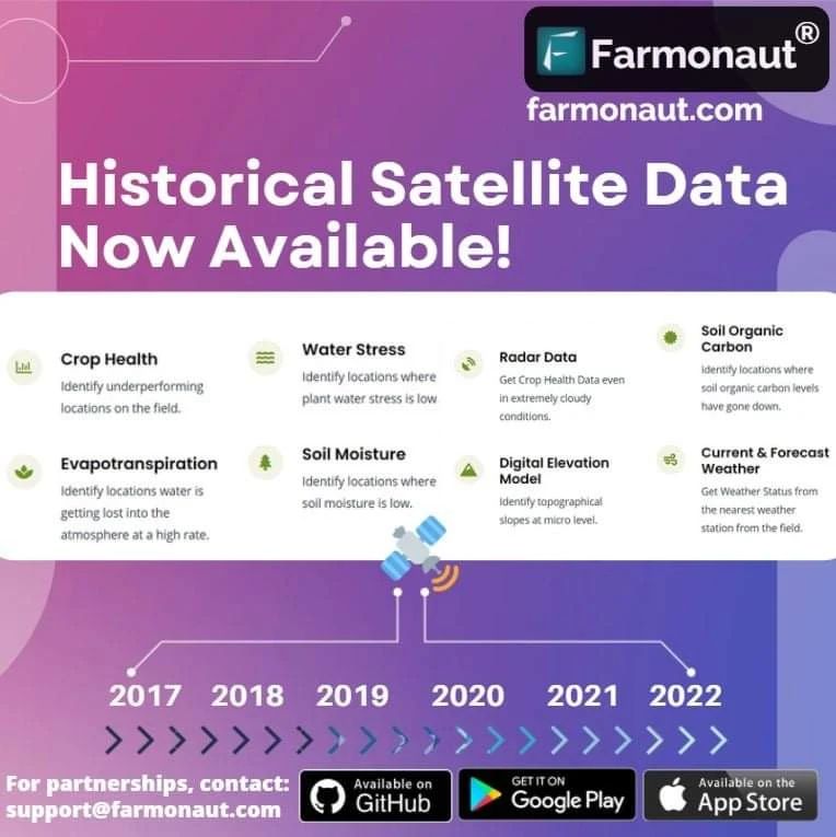
At Farmonaut, we’re excited to announce a game-changing feature that will revolutionize the way you manage your farms. Now, you can easily access
historical satellite data of your farms with all the in-depth analysis you need to make informed decisions and optimize your agricultural practices.
The Power of Historical Satellite Data in Agriculture
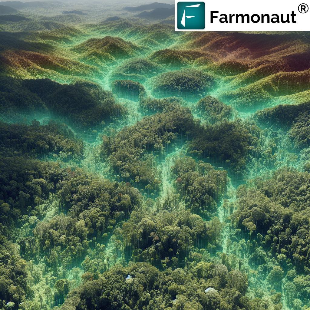
Historical satellite data is a treasure trove of information for farmers and agricultural professionals. By analyzing past trends and patterns, we can gain valuable insights into crop health, soil conditions, and environmental factors that influence farm productivity. Here’s why historical satellite data is crucial for modern agriculture:
- Long-term trend analysis
- Seasonal comparisons
- Identifying recurring issues
- Improved decision-making
- Crop rotation planning
Accessing Historical Satellite Data with Farmonaut
We’ve made it incredibly simple for our users to access this valuable resource. Here’s how you can get started:
- Log in to the Farmonaut Web App
- Navigate to the Map Controls section
- Request historical satellite data for your desired time frame
- Explore the comprehensive analysis provided
This feature is available for all our users, including API and white-label customers. For developers interested in integrating this functionality into their own applications, please check our updated
API documentation.
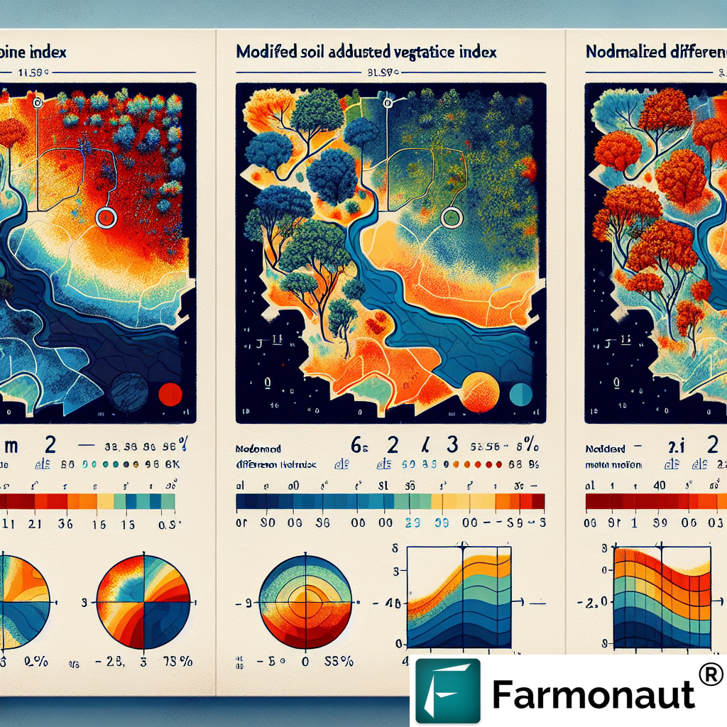
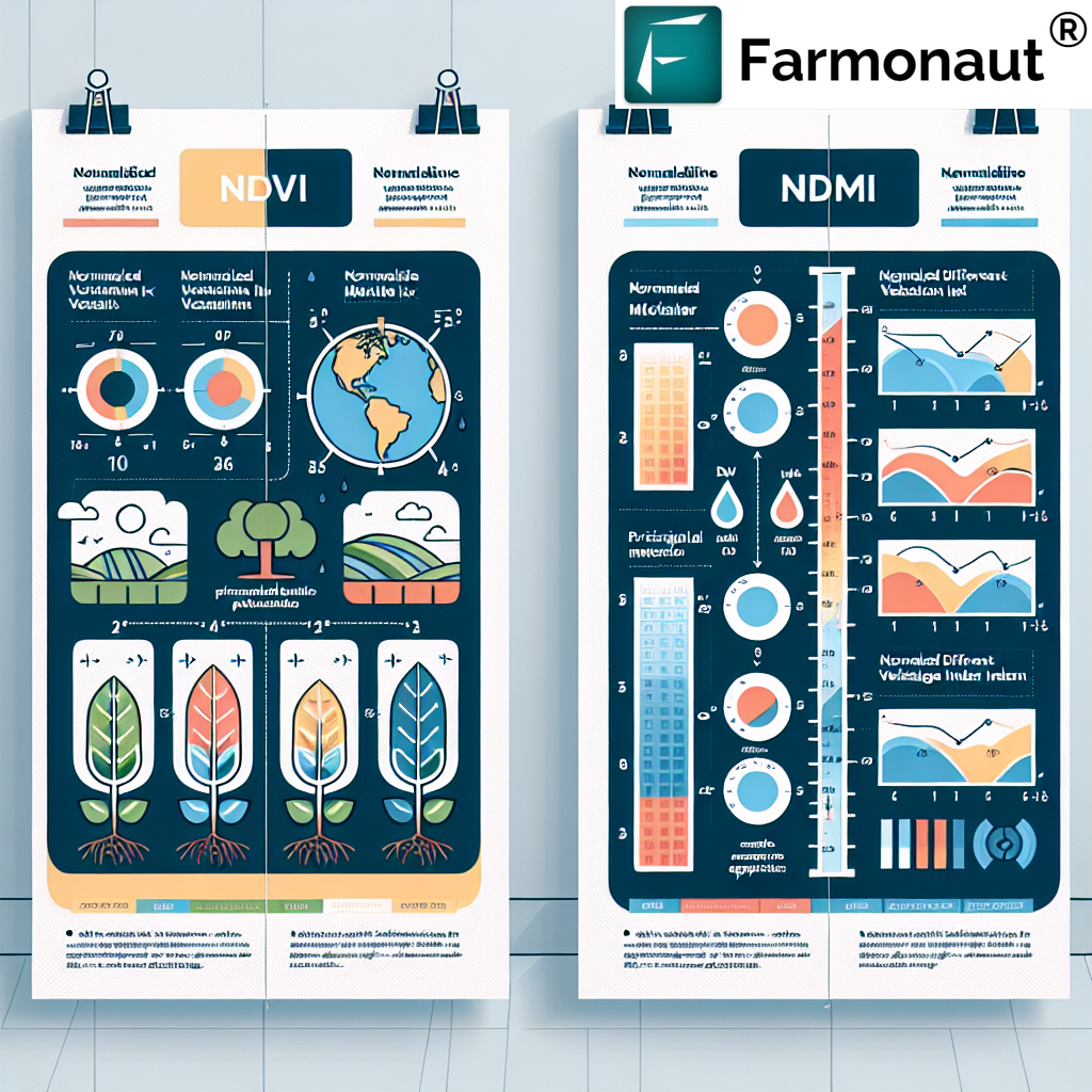
Understanding Satellite Vegetation Imagery
Satellite vegetation imagery is a crucial component of our historical data analysis. These images provide a wealth of information about crop health, biomass, and overall vegetation density. By utilizing various spectral bands, we can create indices such as NDVI (Normalized Difference Vegetation Index) that offer invaluable insights into plant vigour and stress levels.
Key Benefits of Satellite Vegetation Imagery:
- Early detection of crop stress
- Monitoring of plant growth stages
- Identification of areas requiring attention
- Assessment of crop yield potential
- Evaluation of the impact of management practices
Our historical satellite data includes a comprehensive collection of vegetation imagery, allowing you to track changes in your fields over time and make data-driven decisions to improve your farm’s productivity.
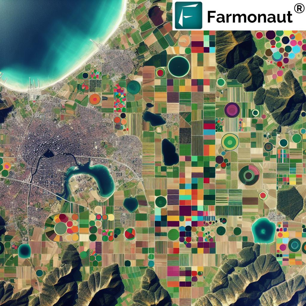
Leveraging Free Satellite Imagery API for Agricultural Insights
At Farmonaut, we understand the importance of accessibility when it comes to agricultural technology. That’s why we offer a
free satellite imagery API that allows developers and agricultural professionals to integrate powerful satellite data into their own applications and workflows.
Our API provides access to a wide range of satellite-derived data, including:
- Vegetation indices (NDVI, EVI, etc.)
- Soil moisture estimates
- Land surface temperature
- Precipitation data
- Evapotranspiration rates
By leveraging our free API, you can create custom solutions tailored to your specific agricultural needs. Whether you’re developing a crop management app or conducting research on climate change impacts on agriculture, our API provides the data you need to drive innovation in the field.
To get started with our free satellite imagery API, visit our
API portal and sign up for an account today.
The Importance of Satellite Cloud Cover Data in Agriculture
While not directly related to our primary focus on agricultural monitoring, understanding
satellite cloud cover is essential for interpreting satellite imagery and ensuring the quality of the data we provide. Cloud cover can significantly impact the visibility and accuracy of satellite observations, especially in regions with frequent cloud presence.
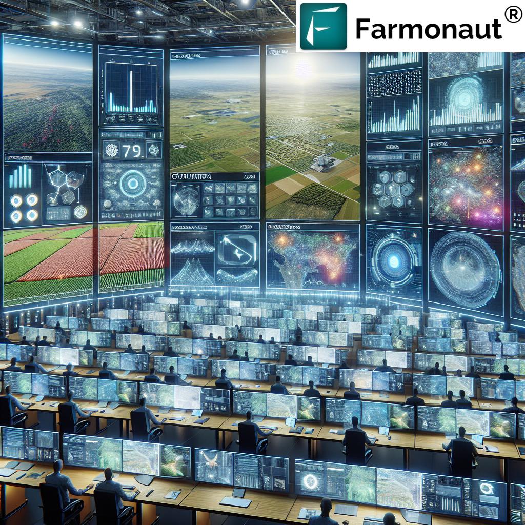
At Farmonaut, we take into account cloud cover when processing and analyzing satellite data to ensure that we provide our users with the most accurate and reliable information possible. Our advanced algorithms help filter out cloud-affected images and interpolate data when necessary, ensuring that you always have access to high-quality insights for your farm management decisions.
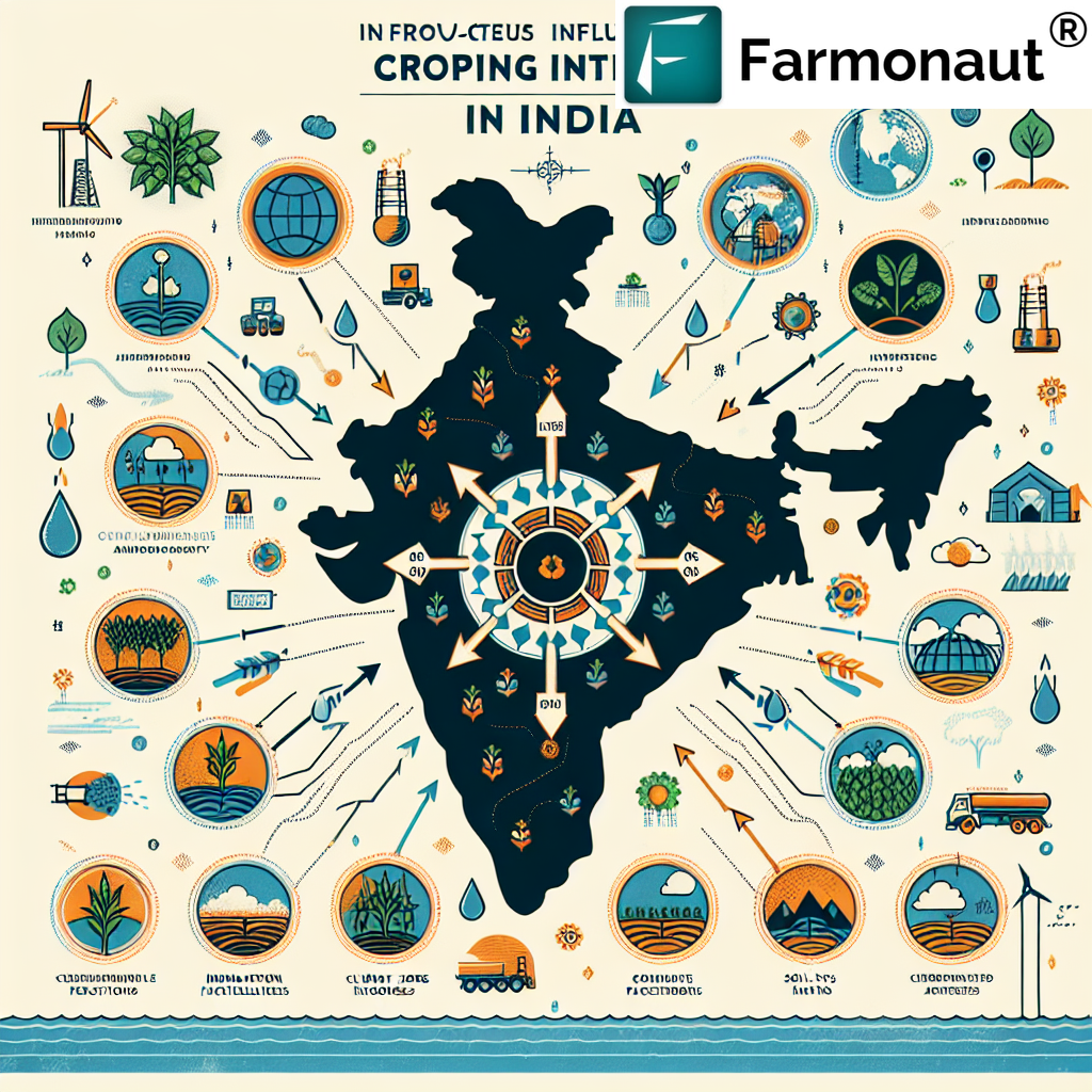
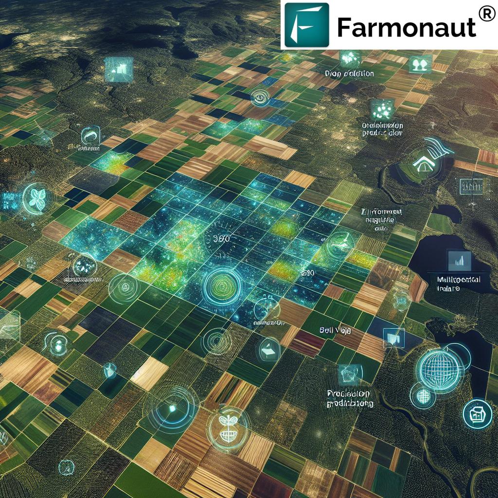
Historical Satellite Data: A Game-Changer for Precision Agriculture
The introduction of
historical satellite data to our platform marks a significant milestone in the field of precision agriculture. By providing access to years of satellite observations, we’re enabling farmers and agricultural professionals to gain a deeper understanding of their land and make more informed decisions.
Key Applications of Historical Satellite Data in Agriculture:
- Crop Rotation Planning: Analyze past performance to optimize crop rotations and improve soil health.
- Yield Forecasting: Use historical trends to make more accurate yield predictions.
- Climate Change Adaptation: Identify long-term changes in growing conditions and adjust farming practices accordingly.
- Pest and Disease Management: Recognize patterns in pest outbreaks or disease occurrences to implement preventive measures.
- Water Management: Optimize irrigation strategies based on historical water stress data.
- Soil Health Monitoring: Track changes in soil organic matter and fertility over time.
- Environmental Impact Assessment: Evaluate the long-term effects of farming practices on the local ecosystem.
By incorporating historical satellite data into your farm management strategy, you can make more informed decisions that lead to increased productivity, reduced resource usage, and improved sustainability.
Farmonaut: Leading the Way in Satellite-Based Farm Monitoring
At Farmonaut, we’re committed to providing cutting-edge solutions that make precision agriculture accessible to farmers of all sizes. Our satellite-based monitoring system offers several advantages over traditional methods like drone and IoT-based monitoring:
| Feature |
Farmonaut Satellite System |
Drone-based Monitoring |
IoT-based Monitoring |
| Coverage Area |
Large-scale (100s to 1000s of hectares) |
Limited (10s of hectares) |
Point-based measurements |
| Frequency of Data Collection |
Regular (every 3-5 days) |
On-demand (requires manual flights) |
Continuous (but limited to sensor locations) |
| Initial Setup Cost |
Low (subscription-based) |
High (equipment purchase) |
Medium to High (sensors and network setup) |
| Maintenance |
Minimal (cloud-based system) |
Regular (equipment maintenance) |
Ongoing (sensor calibration and replacement) |
| Data Processing |
Automated (AI-powered analysis) |
Often manual or semi-automated |
Automated (but limited to sensor data) |
| Historical Data Access |
Extensive (years of data available) |
Limited (depends on flight frequency) |
Available (but limited to sensor installation date) |
| Scalability |
Highly scalable (global coverage) |
Limited by equipment and regulations |
Scalable, but requires additional hardware |
As you can see, our satellite-based system offers unparalleled coverage, scalability, and cost-effectiveness compared to other monitoring methods. By choosing Farmonaut, you’re investing in a comprehensive solution that grows with your farm and provides valuable insights throughout the growing season.
Getting Started with Farmonaut
Ready to harness the power of historical satellite data and advanced agricultural insights? Here’s how you can get started with Farmonaut:
- Web Application: Visit our web app to access our full suite of features from your desktop or laptop.
- Mobile Apps: Download our mobile apps for on-the-go access:
- API Integration: For developers looking to integrate our services into their own applications, check out our API documentation.
FAQ:
Q: How far back does the historical satellite data go?
A: Our historical satellite data typically goes back to 2015, providing several years of valuable insights for your farm.
Q: What resolution can I expect from the satellite imagery?
A: We provide high-resolution imagery with pixel sizes ranging from 10-30 meters, depending on the specific satellite and sensor used.
Q: How often is the satellite data updated?
A: We update our satellite data every 3-5 days, weather permitting, to provide you with the most current information possible.
Q: Can I use Farmonaut for crops other than field crops?
A: Yes, Farmonaut is suitable for a wide range of crops, including orchards, vineyards, and specialty crops. Our AI algorithms are trained on various crop types to provide accurate insights.
Q: Is the historical data available for all regions?
A: We offer global coverage, but the availability and quality of historical data may vary slightly depending on the specific location and satellite coverage in that area.
Q: How does cloud cover affect the satellite data?
A: Cloud cover can impact the quality of satellite imagery. However, our advanced algorithms help filter out cloud-affected images and interpolate data when necessary to ensure consistent insights.
Q: Can I integrate Farmonaut data with my existing farm management software?
A: Yes, our API allows for seamless integration with many popular farm management platforms. Contact our support team for specific integration options.
Q: Is training provided on how to interpret the satellite data and insights?
A: Absolutely! We offer comprehensive tutorials, webinars, and customer support to help you make the most of our platform and interpret the data effectively.
Conclusion: Embrace the Future of Farming with Farmonaut
The introduction of historical satellite data to our platform marks a significant leap forward in precision agriculture. By providing farmers and agricultural professionals with access to years of valuable insights, we’re empowering you to make data-driven decisions that can dramatically improve your farm’s productivity and sustainability.
From crop health monitoring and yield forecasting to long-term trend analysis and climate change adaptation, the applications of historical satellite data are vast and transformative. By choosing Farmonaut, you’re not just adopting a farm management tool; you’re investing in a comprehensive solution that will help you navigate the challenges of modern agriculture and thrive in an ever-changing environment.
We invite you to explore the power of historical satellite data and join the thousands of farmers who are already benefiting from Farmonaut’s advanced agricultural insights. Sign up today and take the first step towards a more productive, sustainable, and profitable farming future.
Happy Farming!
The Farmonaut Team
#farming #organicfarming #crops #urbanfarming #fieldscouting #remotesensing #greentech #smartfarming #precisionagriculture #agro #agrotech #farm #agritech #vegetables #agriculture #foodsecurity #technology #greentech #satellite #vegetation #india #gis