Revolutionizing Agriculture with Farmonaut Satellite & Weather API: Empowering Precision Farming for All
In the ever-evolving landscape of agriculture, staying ahead of the curve is crucial for farmers, agribusinesses, and organizations involved in the agricultural sector. At Farmonaut, we’re excited to announce a game-changing development that will revolutionize the way you approach precision agriculture and remote sensing solutions. Our new Satellite & Weather API is here to empower you with cutting-edge technology, allowing you to create custom agricultural remote sensing solutions tailored to your specific needs.
Unleashing the Power of Satellite Data and Weather Intelligence
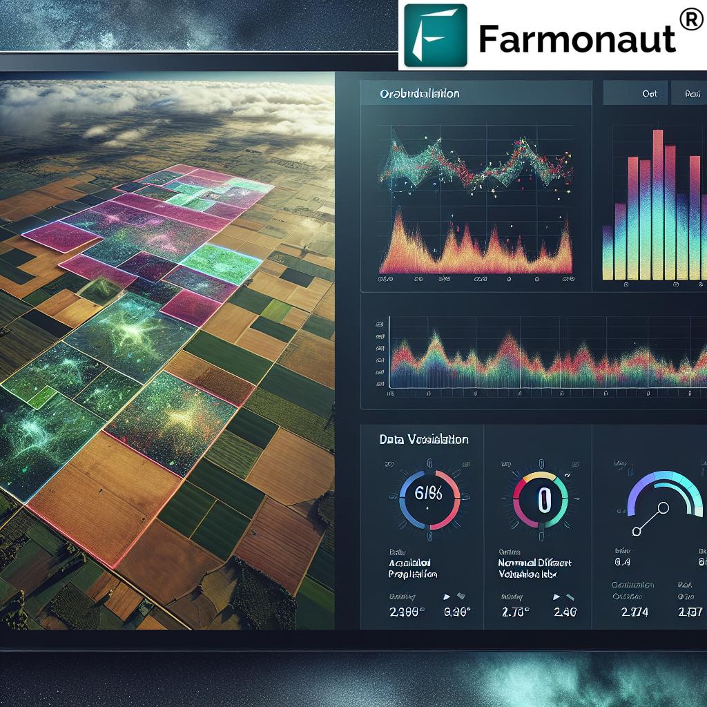
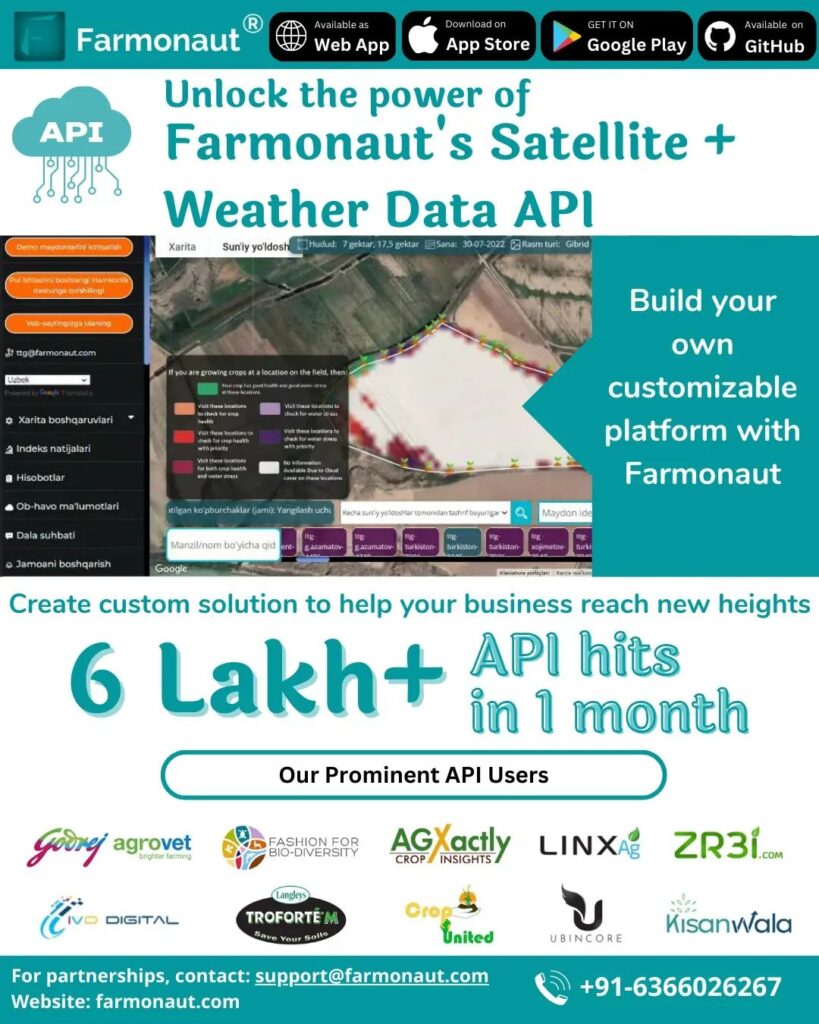
With the Farmonaut Satellite & Weather API, we’re putting the power of advanced remote sensing technology directly into your hands. By making a few simple API requests, you can tap into our sophisticated systems that automatically generate a wealth of satellite data and weather information for all the fields submitted by your organization. This breakthrough allows you to develop your own precision agriculture tools and applications, leveraging the most up-to-date and accurate data available.
What Our API Offers
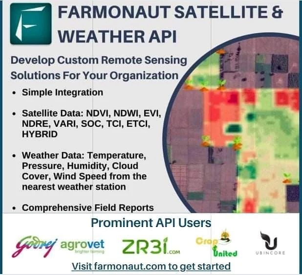
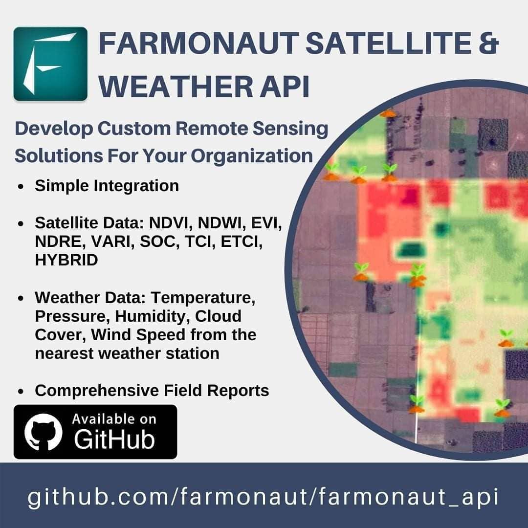
Our comprehensive API provides access to a wide range of satellite-derived indices and weather data, including:
- NDVI (Normalized Difference Vegetation Index): Assess vegetation health and density
- NDWI (Normalized Difference Water Index): Monitor water content in vegetation and soil moisture
- EVI (Enhanced Vegetation Index): Improve upon NDVI for areas with dense canopy
- VARI (Visible Atmospherically Resistant Index): Estimate vegetation fraction
- SOC (Soil Organic Carbon): Analyze soil health and carbon content
- TCI (Temperature Condition Index): Assess temperature-related stress on vegetation
- ETCI (Evapotranspiration Condition Index): Monitor crop water stress
- HYBRID: A unique combination of indices for comprehensive analysis
In addition to these powerful satellite-derived indices, our API also provides crucial weather data from the nearest weather station, including:
- Temperature
- Pressure
- Humidity
- Cloud cover
- Wind speed
The Power of Satellite-Based Monitoring
Satellite-based monitoring offers numerous advantages over traditional methods like drone surveys or IoT sensors. Here’s a comparison table highlighting why Farmonaut’s Satellite System is superior:
| Feature | Farmonaut Satellite System | Drone-based Monitoring | IoT-based Monitoring |
|---|---|---|---|
| Coverage Area | Large scale (Global) | Limited (Local) | Very Limited (Point-based) |
| Data Collection Frequency | Regular (Every few days) | On-demand (Manual flights) | Continuous (Limited points) |
| Initial Setup Cost | Low | High (Drone purchase) | Medium to High (Sensor network) |
| Operational Complexity | Low (Automated) | High (Skilled pilot needed) | Medium (Maintenance required) |
| Weather Dependency | Low (Can penetrate clouds) | High (Clear weather needed) | Low |
| Scalability | Highly Scalable | Limited Scalability | Moderate Scalability |
| Data Processing | Automated and Fast | Time-consuming | Automated but Limited |
| Legal Restrictions | Minimal | Significant (Flight regulations) | Moderate (Depends on location) |
Empowering Precision Agriculture
The Farmonaut Satellite & Weather API is a game-changer for precision agriculture. By providing access to high-quality satellite data and weather information, we’re enabling organizations to develop sophisticated solutions that can:
- Optimize irrigation schedules based on soil moisture and weather forecasts
- Detect early signs of crop stress or disease outbreaks
- Predict yield potential and harvest timing
- Monitor crop growth stages and development
- Assess the impact of weather events on crop health
- Plan fertilizer applications more efficiently
- Identify areas of nutrient deficiency or excess
NDVI Applications in Agriculture
The Normalized Difference Vegetation Index (NDVI) is one of the most widely used vegetation indices in remote sensing. Our API provides easy access to NDVI data, enabling a wide range of applications in agriculture:
- Crop Health Monitoring: NDVI helps in assessing the overall health and vigor of crops throughout the growing season.
- Yield Prediction: By analyzing NDVI trends, farmers can estimate potential yields and make informed decisions about harvesting.
- Drought Detection: Changes in NDVI values can indicate water stress, allowing for early detection of drought conditions.
- Pest and Disease Management: Sudden changes in NDVI can signal pest infestations or disease outbreaks, enabling targeted interventions.
- Fertilizer Management: NDVI maps can guide variable-rate fertilizer applications, optimizing nutrient use efficiency.
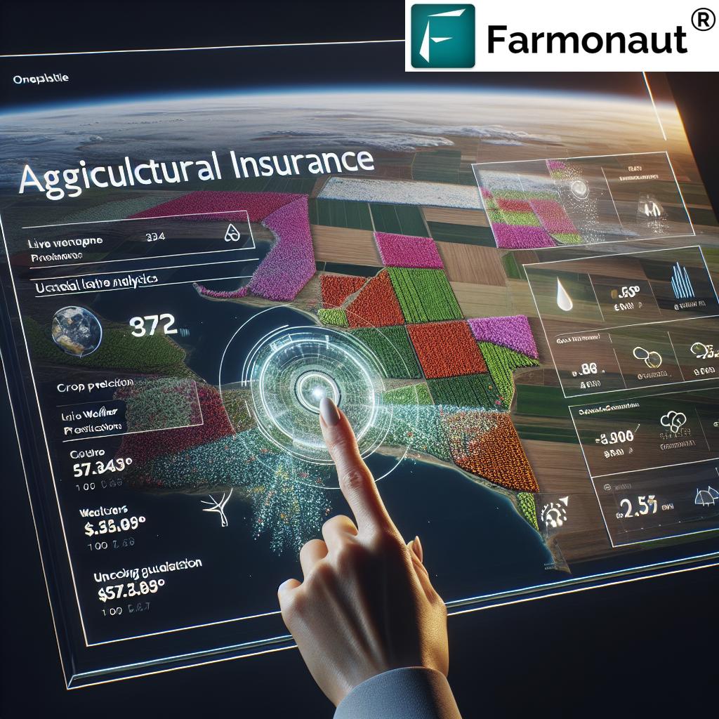
- Crop Insurance: NDVI data can be used to verify crop conditions for insurance claims and risk assessment.
Cloud Cover and Its Impact on Agriculture
Understanding cloud cover is crucial for agricultural planning and management. Our API provides cloud cover data from satellite images, offering several benefits:
- Irrigation Planning: Cloud cover affects evapotranspiration rates, influencing irrigation needs.
- Solar Radiation Estimation: Cloud cover data helps in estimating the amount of solar radiation reaching crops, which is vital for photosynthesis and growth.
- Frost Risk Assessment: Clear skies at night can increase the risk of frost, allowing farmers to take preventive measures.
- Spraying Operations: Knowledge of cloud cover helps in planning pesticide or herbicide applications, ensuring optimal conditions for effectiveness.
Leveraging Atmospheric Water Vapor Absorption Spectrum NIR Data
While not directly provided by our API, the atmospheric water vapor absorption spectrum in the Near-Infrared (NIR) region is an important consideration in remote sensing. This data helps in:
- Improving the accuracy of vegetation indices by accounting for atmospheric effects
- Enhancing the precision of soil moisture estimations
- Refining weather predictions and climate models
Our satellite data processing algorithms take into account these atmospheric effects to provide you with the most accurate vegetation indices possible.
Developing Your Custom Solutions
With the Farmonaut Satellite & Weather API, the possibilities for custom agricultural solutions are endless. Here are some ideas to get you started:
- Crop-Specific Monitoring Apps: Develop applications tailored to specific crops, considering their unique growth patterns and requirements.
- Precision Irrigation Systems: Create smart irrigation systems that combine satellite-derived soil moisture data with local weather forecasts.
- Yield Prediction Models: Build sophisticated yield prediction models that integrate multiple vegetation indices and weather parameters.
- Farm Management Dashboards: Design comprehensive dashboards that provide farmers with a holistic view of their fields’ health, productivity, and resource needs.
- Pest and Disease Alert Systems: Develop early warning systems for pest infestations and disease outbreaks based on changes in vegetation health and weather conditions.
Getting Started with Farmonaut API
Ready to revolutionize your agricultural operations with the power of satellite data and weather intelligence? Here’s how you can get started:
- Visit our API documentation page to familiarize yourself with the available endpoints and data formats.
- Sign up for an API key to access our services.
- Integrate the API into your existing systems or start developing new applications.
- Test your integration thoroughly and reach out to our support team if you need any assistance.
For those who prefer a ready-to-use solution, don’t forget to check out our mobile apps:
Empowering Sustainable Agriculture
At Farmonaut, we believe that technology can play a crucial role in making agriculture more sustainable and efficient. By providing easy access to satellite data and weather information, we’re empowering farmers and agricultural organizations to:
- Reduce water usage through precision irrigation
- Optimize fertilizer applications, minimizing environmental impact
- Decrease pesticide use through early detection of pest and disease issues
- Improve crop yields while conserving resources
- Make data-driven decisions that promote long-term soil health
The Future of Farming is Here
The Farmonaut Satellite & Weather API represents a significant step forward in democratizing access to advanced agricultural technology. By putting the power of satellite data and weather intelligence into the hands of developers, farmers, and agricultural organizations, we’re paving the way for a more productive, sustainable, and resilient agricultural sector.
We invite you to join us on this exciting journey. Whether you’re a small-scale farmer looking to optimize your operations, an agribusiness seeking to enhance your decision-making processes, or a developer passionate about creating innovative agricultural solutions, Farmonaut has the tools and data you need to succeed.
Subscribe to Farmonaut
Ready to take your agricultural operations to the next level? Subscribe to Farmonaut today and gain access to our powerful satellite and weather data API:
Frequently Asked Questions (FAQ)
Q: What is the Farmonaut Satellite & Weather API?
A: The Farmonaut Satellite & Weather API is a powerful tool that provides access to satellite-derived vegetation indices and weather data for agricultural applications. It allows developers and organizations to integrate this valuable information into their own custom solutions for precision agriculture.
Q: What kind of data does the API provide?
A: The API provides various vegetation indices such as NDVI, NDWI, EVI, VARI, SOC, TCI, ETCI, and HYBRID, as well as weather data including temperature, pressure, humidity, cloud cover, and wind speed from the nearest weather station.
Q: How often is the satellite data updated?
A: The frequency of satellite data updates depends on the specific satellite and your subscription plan. Typically, we provide updates every few days, but this can vary based on cloud cover and satellite availability.
Q: Is the API suitable for small-scale farmers?
A: Yes, the API is designed to be scalable and can be used by farmers of all sizes. Small-scale farmers can benefit from the insights provided by our data to optimize their operations and increase yields.
Q: How accurate is the satellite data?
A: Our satellite data is highly accurate and processed using advanced algorithms to account for atmospheric effects. However, the exact accuracy can vary depending on factors such as cloud cover and satellite resolution.
Q: Can I integrate the API with my existing farm management software?
A: Yes, the API is designed to be easily integrated with existing software systems. We provide comprehensive documentation to help developers incorporate our data into their applications.
Q: Is technical support available for API users?
A: Absolutely! We offer technical support to help you integrate and make the most of our API. You can find more information in our developer documentation.
Q: How does pricing work for the API?
A: We offer flexible pricing plans based on usage and the specific needs of your organization. Please refer to our pricing table above or contact our sales team for more detailed information.
Q: Is the data provided by the API suitable for scientific research?
A: Yes, the satellite and weather data provided by our API is of high quality and can be used for scientific research in agriculture, environmental studies, and related fields.
Q: Can the API help with compliance for environmental regulations?
A: Yes, the data provided by our API can help farmers and agribusinesses monitor their environmental impact, potentially aiding in compliance with various environmental regulations.
Conclusion
The Farmonaut Satellite & Weather API opens up a world of possibilities for precision agriculture and sustainable farming practices. By providing easy access to high-quality satellite data and weather information, we’re empowering farmers, developers, and agricultural organizations to create innovative solutions that can transform the way we grow food.
Whether you’re looking to optimize irrigation, predict yields, or develop entirely new applications for agricultural management, our API provides the data and insights you need to succeed. Join us in revolutionizing agriculture and building a more sustainable future for farming.
Ready to get started? Sign up for Farmonaut today and begin your journey towards data-driven, precision agriculture. Together, we can cultivate a smarter, more sustainable future for farming. Happy farming!


