Revolutionizing Agriculture: Farmonaut’s Satellite & Weather API for Custom Remote Sensing Solutions
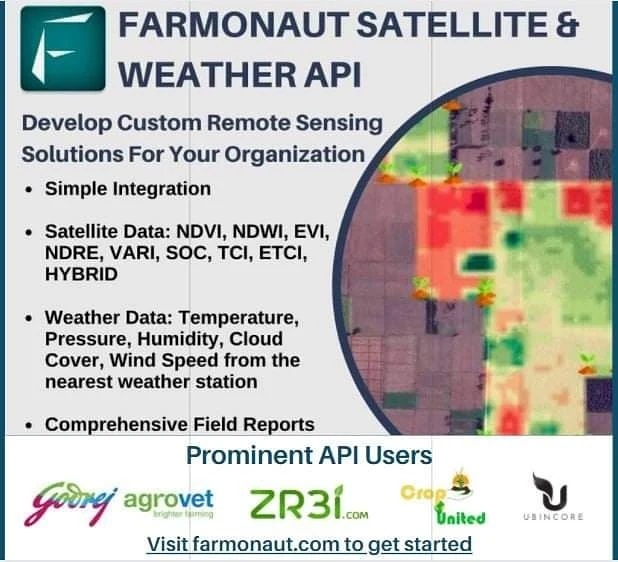
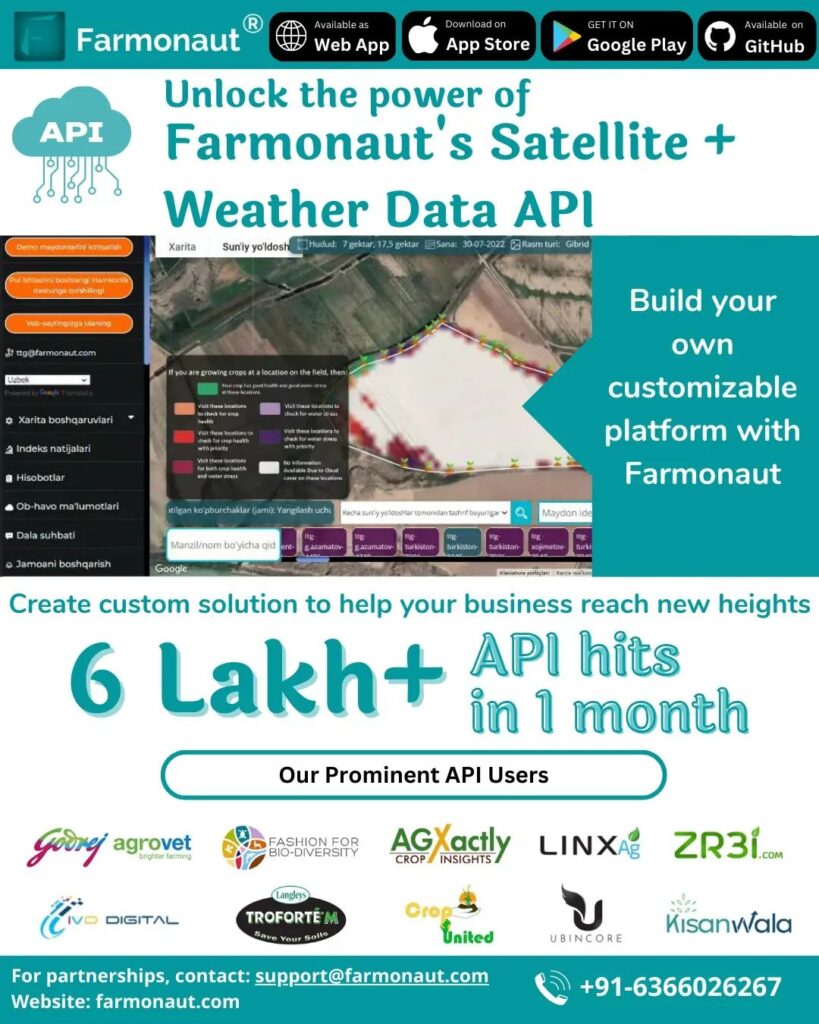
In the ever-evolving landscape of agriculture, we at Farmonaut are proud to introduce our groundbreaking Satellite & Weather API, a powerful tool designed to revolutionize the way organizations develop and implement custom agricultural remote sensing solutions. As pioneers in the field of agricultural technology, we understand the critical role that accurate, timely data plays in modern farming practices. Our API is not just a product; it’s a gateway to a new era of precision agriculture, sustainability, and increased productivity.
Understanding Farmonaut’s Satellite & Weather API
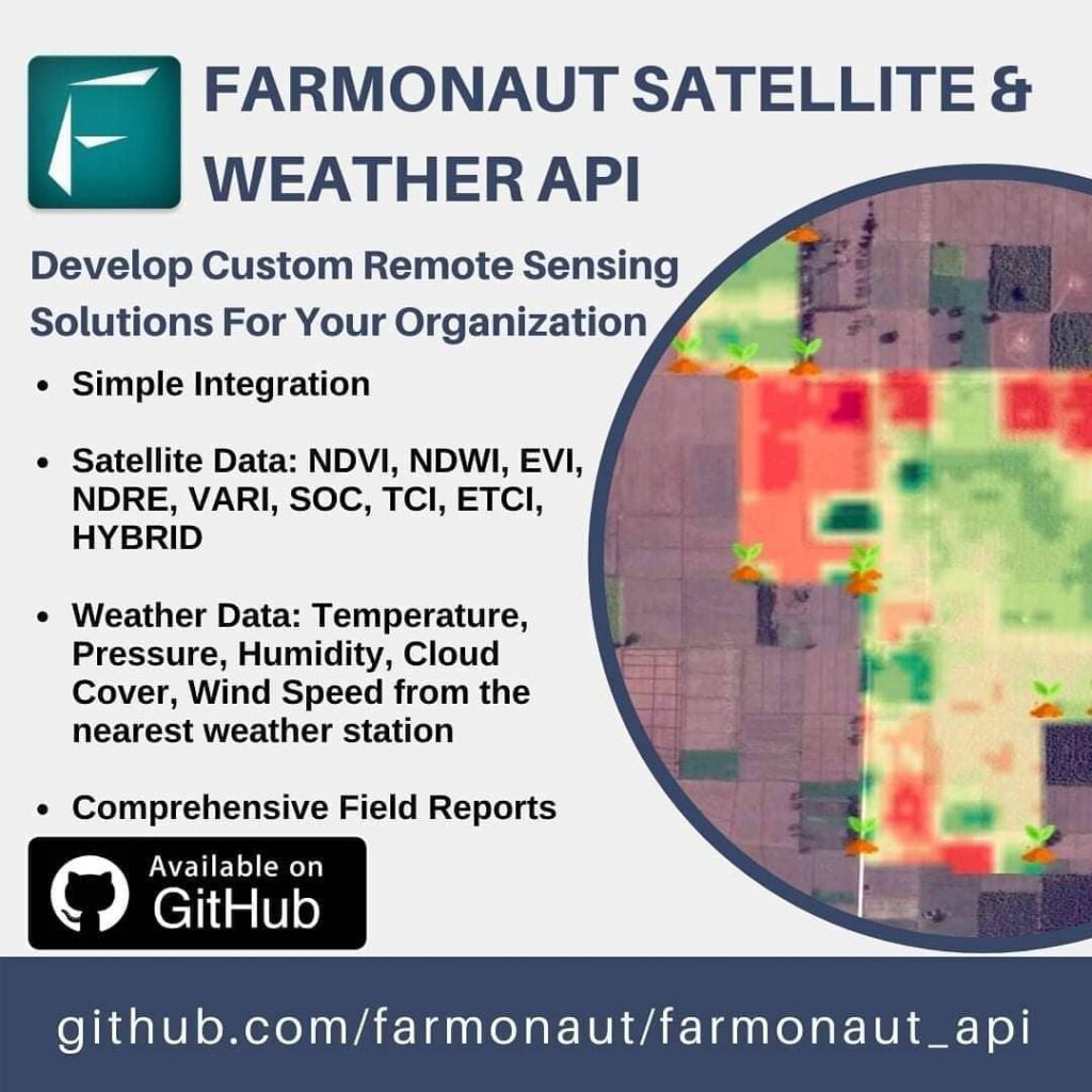
At its core, our API is a sophisticated system that allows organizations to seamlessly integrate satellite and weather data into their agricultural operations. With just a few API requests, users can tap into a wealth of information that includes:
- Satellite Data: NDVI, NDWI, EVI, VARI, SOC, TCI, ETCI, NDMI, Evapotranspiration, DEM, RADAR, and HYBRID
- Weather Data: Temperature, Pressure, Humidity, Cloud Cover, Wind Speed from the nearest weather station
- Comprehensive Field Reports: Detailed analyses of crop health and environmental conditions
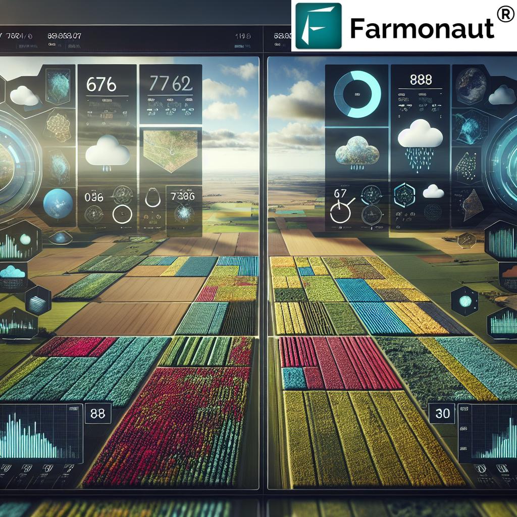
This powerful combination of satellite imagery and meteorological data provides a holistic view of agricultural landscapes, enabling farmers and agricultural organizations to make informed decisions based on real-time, accurate information.
The Power of Satellite-Based Crop Health Monitoring
One of the cornerstones of our API is the ability to monitor crop health using satellite imagery. This technology allows us to provide crucial insights into vegetation health, soil moisture levels, and other vital metrics that directly impact crop yield and quality.
NDVI API: A Game-Changer in Vegetation Analysis
Our NDVI API (Normalized Difference Vegetation Index) is a powerful tool that measures the health and vigor of vegetation. By analyzing the difference between near-infrared light (which healthy vegetation strongly reflects) and red light (which vegetation absorbs), we can provide accurate assessments of plant health across vast areas. This information is invaluable for:
- Early detection of crop stress
- Optimizing irrigation schedules
- Precise application of fertilizers
- Monitoring crop growth stages
The NDVI API is just one example of how our satellite data can transform agricultural practices, leading to increased efficiency and sustainability.
Weather API: Precision Forecasting for Agriculture
In addition to satellite imagery, our API provides comprehensive weather data crucial for agricultural planning and decision-making. Our APIWeather service offers:
- Accurate temperature forecasts
- Pressure and humidity readings
- Wind speed and direction
- Cloud cover information
This data is sourced from the nearest weather stations, ensuring localized and relevant information for each field. The combination of satellite imagery and weather data allows for unparalleled insights into crop conditions and potential weather-related risks.
Cloud Cover Satellite: Enhancing Weather Predictions
Our cloud cover satellite data is particularly valuable for agricultural planning. By providing detailed information on cloud patterns and density, we enable farmers to:
- Predict potential rainfall more accurately
- Plan for frost protection measures
- Optimize solar radiation exposure for crops
- Make informed decisions about planting and harvesting times
This level of detail in weather forecasting is a game-changer for agriculture, especially in regions with variable climates.
Satellite Weather India: Tailored Solutions for Diverse Climates
Recognizing the unique challenges faced by farmers in diverse geographical regions, we’ve developed specialized solutions like our satellite weather India service. This tailored approach takes into account the specific climatic conditions of the Indian subcontinent, including:
- Monsoon patterns
- Extreme temperature variations
- Regional weather phenomena
By providing localized and accurate weather data, we empower Indian farmers to make better-informed decisions, leading to improved crop yields and reduced losses due to adverse weather conditions.
Remote Farm Management: Bridging the Distance
In an era where efficiency and remote management are paramount, our API plays a crucial role in enabling remote farm monitoring and management. This capability is particularly valuable for:
- Large-scale agricultural operations spanning vast areas
- Investors and managers overseeing multiple farms
- Agricultural consultants providing expert advice to clients across different regions
With our API, users can monitor crop health, track weather patterns, and analyze field conditions from anywhere in the world, making distance a non-issue in modern agriculture.
Comparing Farmonaut’s Satellite System with Drone and IoT-Based Monitoring
While drone and IoT-based farm monitoring systems have their merits, Farmonaut’s satellite-based approach offers several distinct advantages:
| Feature | Farmonaut Satellite System | Drone-Based Monitoring | IoT-Based Monitoring |
|---|---|---|---|
| Coverage Area | Vast (Global) | Limited (Local) | Limited (Sensor Locations) |
| Frequency of Data Updates | Regular (Based on satellite passes) | On-demand (Requires manual flights) | Continuous (Real-time) |
| Initial Setup Cost | Low | High (Equipment and Training) | Medium to High (Sensors and Network) |
| Maintenance | Minimal | Regular (Equipment upkeep) | Regular (Sensor maintenance) |
| Scalability | Highly Scalable | Limited by equipment and personnel | Scalable but requires additional hardware |
| Weather Resistance | Unaffected by ground conditions | Limited by weather conditions | Potentially affected by extreme weather |
| Data Integration | Easy (API-based) | Can be complex | Varies (Depends on system) |
As evident from the comparison, our satellite-based system offers unparalleled coverage, scalability, and ease of use, making it an ideal choice for a wide range of agricultural applications.
Implementing Farmonaut’s API: A Step-by-Step Guide
Integrating our API into your agricultural management systems is a straightforward process. Here’s a brief overview of how to get started:
- Sign Up: Visit our website to create an account.
- API Documentation: Access our comprehensive API documentation to understand the available endpoints and data structures.
- Generate API Key: Obtain your unique API key from your account dashboard.
- Make API Requests: Use the API key to make requests for satellite and weather data for your specific fields.
- Integrate Data: Incorporate the received data into your existing systems or develop new applications based on the insights provided.
For more detailed information and support, our team is always available to assist you in seamlessly integrating our API into your agricultural operations.
Real-World Applications and Success Stories
The versatility of our API has led to its adoption across various sectors of the agricultural industry. Here are some examples of how organizations are leveraging our technology:
- Large-Scale Farms: Optimizing resource allocation and crop management across thousands of hectares.
- Agricultural Cooperatives: Providing members with valuable insights for collective decision-making.
- Crop Insurance Companies: Assessing crop health and potential risks more accurately.
- Agricultural Research Institutions: Conducting large-scale studies on crop patterns and climate impact.
- Government Agencies: Monitoring national food security and planning agricultural policies.
These success stories underscore the transformative potential of our API in various agricultural contexts.
The Future of Agriculture with Farmonaut
As we continue to innovate and expand our services, we envision a future where precision agriculture is accessible to farmers and organizations of all sizes. Our ongoing research and development efforts are focused on:
- Enhancing the resolution and frequency of satellite imagery
- Incorporating advanced AI and machine learning algorithms for predictive analytics
- Expanding our weather forecasting capabilities
- Developing new indices for even more precise crop health monitoring
By staying at the forefront of agricultural technology, we aim to empower farmers and agricultural organizations to meet the growing global demand for food while promoting sustainable practices.
Join the Agricultural Revolution
We invite you to be part of this agricultural revolution. Whether you’re a small-scale farmer, a large agribusiness, or an agricultural technology developer, our Satellite & Weather API can provide you with the tools and insights needed to thrive in modern agriculture.
To get started, visit our website or download our mobile apps:
Experience the power of satellite-based agriculture management and join the growing community of forward-thinking farmers and agricultural professionals.
Subscribe to Farmonaut
Frequently Asked Questions (FAQ)
Q: What is the coverage area of Farmonaut’s satellite imagery?
A: Our satellite imagery covers global agricultural areas, providing data for farms of all sizes worldwide.
Q: How often is the satellite data updated?
A: The frequency of updates depends on satellite passes and can vary, but we typically provide updates every few days to ensure timely information.
Q: Can Farmonaut’s API be integrated with existing farm management software?
A: Yes, our API is designed to be easily integrated with a wide range of farm management systems and software.
Q: Is the weather data localized to specific farm locations?
A: Yes, we provide weather data from the nearest weather stations to ensure accuracy and relevance for each specific location.
Q: How accurate is the NDVI data provided by Farmonaut?
A: Our NDVI data is highly accurate, derived from high-resolution satellite imagery and validated through extensive field testing.
Q: Can small-scale farmers benefit from Farmonaut’s API?
A: Absolutely! Our API is scalable and can provide valuable insights for farms of all sizes, from small family farms to large agricultural enterprises.
Q: Is technical expertise required to use Farmonaut’s API?
A: While some technical knowledge is helpful, our API is designed to be user-friendly, and we provide comprehensive documentation and support to assist users of all levels.
Q: How does Farmonaut ensure data security and privacy?
A: We employ state-of-the-art security measures to protect all data, ensuring that your farm information remains confidential and secure.
Q: Can Farmonaut’s API help in predicting crop yields?
A: Yes, by analyzing historical data, current crop health, and weather patterns, our API can assist in making more accurate crop yield predictions.
Q: Is there a mobile app available for accessing Farmonaut’s data on the go?
A: Yes, we offer mobile apps for both Android and iOS platforms, allowing users to access vital farm data anytime, anywhere
conclusion
Farmonaut’s Satellite & Weather API represents a significant leap forward in agricultural technology. By providing easy access to comprehensive satellite and weather data, we’re empowering farmers and agricultural organizations to make more informed decisions, increase productivity, and promote sustainable farming practices. Join us in shaping the future of agriculture – where data-driven insights meet traditional farming wisdom to create a more efficient and sustainable world of farming.


