Revolutionizing Agriculture: How Farmonaut’s Satellite and Weather API is Transforming the Industry
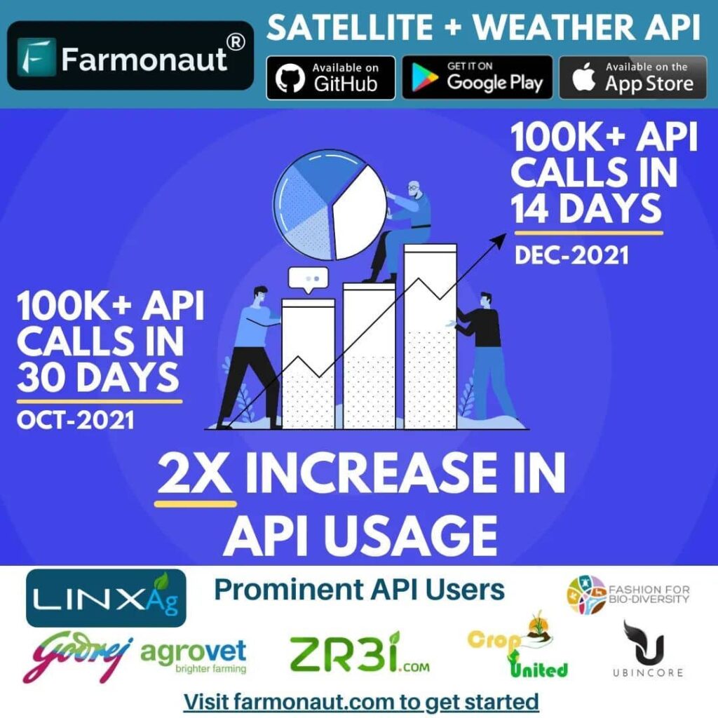
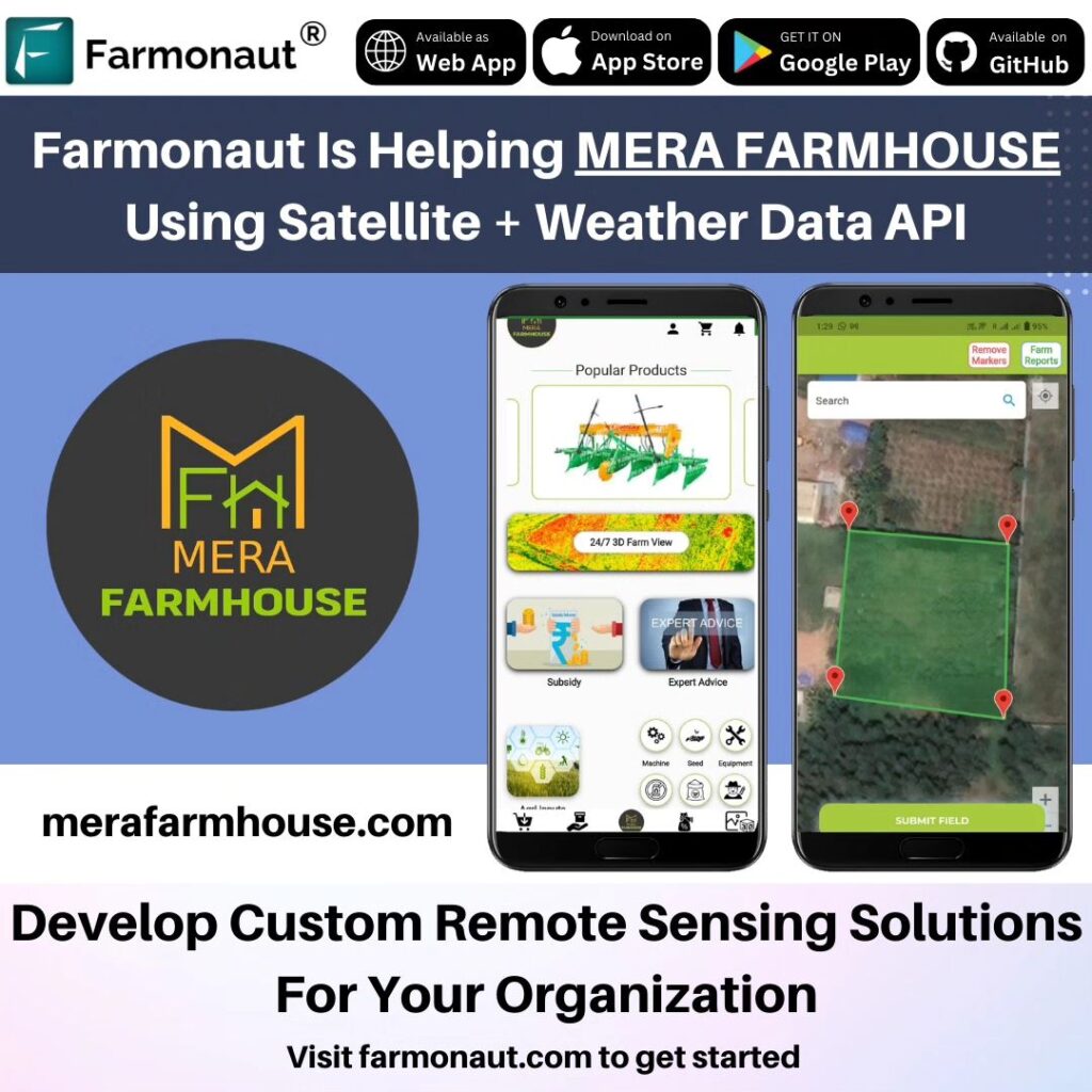
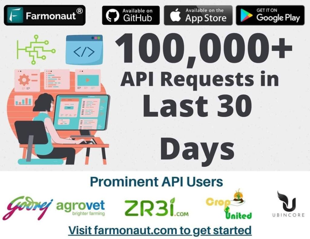
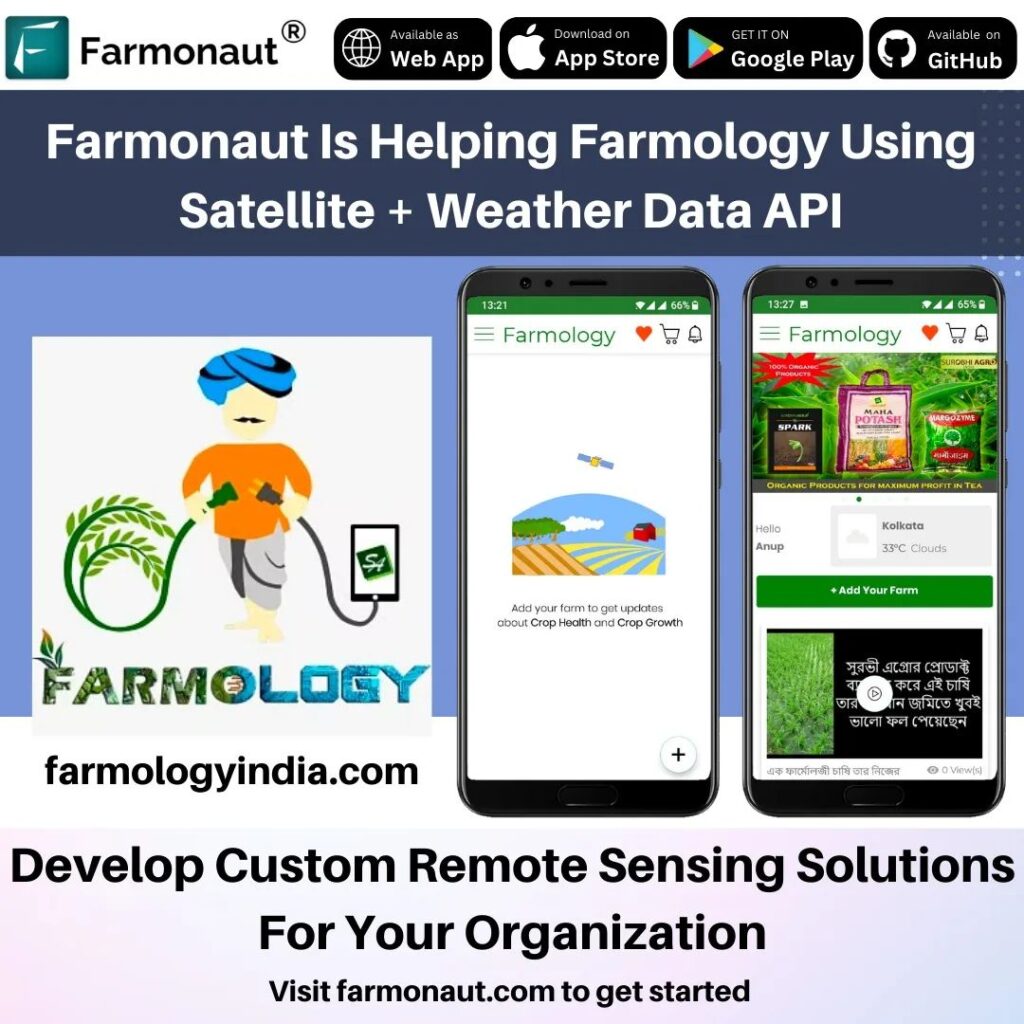
We are thrilled to announce a significant milestone in our journey at Farmonaut®. Our cutting-edge Satellite and Weather API is now being utilized by prominent global players, including Farmology, Mera Farmhouse, ZR3I, Godrej Agrovet, Coromandel International, and many others. This achievement not only validates our technology but also underscores the growing importance of data-driven insights in modern agriculture.
The Power of Farmonaut’s API
Our API is currently handling an impressive 500,000+ requests monthly, a testament to its robustness and reliability. This high volume of usage demonstrates the agricultural industry’s shift towards data-driven decision-making and the trust placed in our technology.
The Farmonaut API is designed to provide:
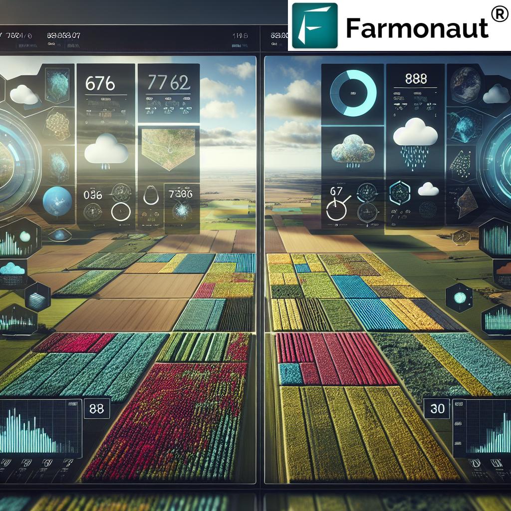
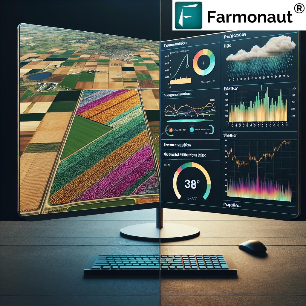
- Real-time satellite imagery for crop monitoring
- Accurate weather forecasts tailored for agricultural needs
- Vegetation health indices like NDVI (Normalized Difference Vegetation Index)
- Soil moisture data for optimal irrigation management
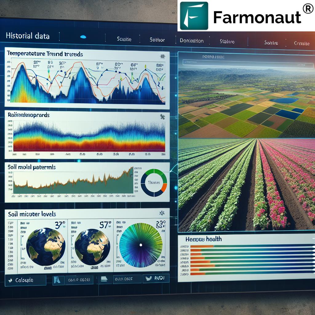
- Historical weather data for trend analysis and planning
Transforming Agriculture with Data-Driven Insights
In today’s rapidly evolving agricultural landscape, data is king. Our API is at the forefront of this revolution, providing farmers, agronomists, and agribusinesses with the tools they need to make informed decisions. Here’s how our API is making a difference:
1. Precision Agriculture
By leveraging satellite imagery and weather data, farmers can implement precision agriculture techniques with unprecedented accuracy. This leads to:
- Optimized use of resources (water, fertilizers, pesticides)
- Reduced environmental impact
- Increased crop yields
- Better crop quality
2. Risk Management
Our weather API provides accurate forecasts and historical data, enabling farmers to:
- Plan planting and harvesting schedules more effectively
- Mitigate weather-related risks
- Make informed decisions about crop protection measures
3. Sustainability
Sustainability is at the heart of modern agriculture. Our API contributes to sustainable farming practices by:
- Reducing water usage through precise irrigation scheduling
- Minimizing chemical inputs by identifying areas that truly need treatment
- Lowering carbon footprint through optimized farm operations
4. Increased Productivity
By providing timely and accurate data, our API helps farmers and agribusinesses to:
- Identify and address crop stress early
- Optimize crop management practices
- Increase overall farm productivity
Farmonaut’s Technological Edge
At Farmonaut, we pride ourselves on our cutting-edge technology that sets us apart in the agritech space. Our solutions combine satellite technology, artificial intelligence, and machine learning to provide unparalleled insights into agricultural operations.
Satellite-Based Crop Health Monitoring
Our satellite-based crop health monitoring system uses multispectral imagery to provide detailed insights into crop health. This technology allows farmers to:
- Monitor vegetation health using NDVI and other indices
- Track soil moisture levels across large areas
- Identify potential pest or disease outbreaks early
- Assess crop damage after extreme weather events
Jeevn AI Advisory System
Our proprietary Jeevn AI Advisory System takes agricultural decision-making to the next level. This system:
- Analyzes satellite data, weather forecasts, and historical trends
- Provides personalized recommendations for crop management
- Offers real-time alerts for potential issues
- Continuously learns and improves its recommendations based on outcomes
Blockchain-Based Traceability
In an era where consumers demand transparency, our blockchain-based traceability solution offers:
- End-to-end visibility of the supply chain
- Immutable records of crop origins and journey
- Enhanced trust between producers, retailers, and consumers
- Reduced risk of fraud in the agricultural supply chain
Farmonaut vs. Traditional Monitoring Methods
While drone and IoT-based farm monitoring systems have their place, Farmonaut’s satellite-based system offers unique advantages:
| Feature | Farmonaut Satellite System | Drone-based Monitoring | IoT-based Monitoring |
|---|---|---|---|
| Coverage Area | Large scale (thousands of hectares) | Limited (few hundred hectares) | Limited to sensor placement |
| Frequency of Data Collection | Daily to weekly | As needed (labor-intensive) | Continuous but localized |
| Initial Setup Cost | Low | High (drone purchase) | High (sensors and network) |
| Maintenance | Minimal | Regular (drone maintenance) | Regular (sensor maintenance) |
| Data Processing | Automated and cloud-based | Often manual or semi-automated | Automated but limited scope |
| Scalability | Highly scalable | Limited by drone fleet size | Limited by sensor network |
| Weather Independence | Can operate in most weather conditions | Limited by weather conditions | Generally weather-independent |
The Future of Agriculture with Farmonaut
As we continue to innovate and expand our services, we envision a future where data-driven agriculture becomes the norm rather than the exception. Here’s what we’re working towards:
1. Enhanced AI Capabilities
We’re continuously improving our AI algorithms to provide even more accurate predictions and recommendations. Future updates will include:
- Advanced crop yield prediction models
- Pest and disease prediction with higher accuracy
- Automated crop rotation recommendations based on soil health data
2. Integration with IoT Devices
While our satellite-based system offers numerous advantages, we recognize the value of ground-level data. We’re working on seamless integration with IoT devices to provide a comprehensive view of farm conditions.
3. Expanding Our Global Reach
As we continue to serve clients worldwide, we’re focusing on tailoring our solutions to meet the unique needs of different agricultural regions. This includes:
- Developing crop models for a wider variety of plants
- Integrating local weather patterns and climate data
- Partnering with regional agricultural research institutions
4. Advancing Sustainability Metrics
We’re developing more comprehensive sustainability metrics to help farmers and agribusinesses measure and improve their environmental impact. This includes:
- Carbon sequestration tracking
- Biodiversity impact assessments
- Water conservation efficiency metrics
Join the Agricultural Revolution with Farmonaut
The future of agriculture is data-driven, sustainable, and incredibly exciting. We invite farmers, agribusinesses, researchers, and technology enthusiasts to join us in shaping this future. Here’s how you can get involved:
1. Try Our API
Experience the power of Farmonaut’s Satellite and Weather API firsthand. Visit our API portal to get started.
2. Download Our Mobile App
Get Farmonaut’s insights right in your pocket:
- For Android users: Download from Google Play Store
- For iOS users: Download from Apple App Store
3. Explore Our Developer Documentation
For developers looking to integrate our API into their applications, check out our comprehensive developer documentation.
4. Subscribe to Our Services
Ready to transform your agricultural operations? Subscribe to Farmonaut’s services:
Frequently Asked Questions (FAQ)
Q1: What is Farmonaut’s Satellite and Weather API?
A1: Farmonaut’s Satellite and Weather API is a powerful tool that provides real-time satellite imagery, weather forecasts, and agricultural insights to help farmers and agribusinesses make data-driven decisions. It combines satellite technology with artificial intelligence to offer valuable information on crop health, soil moisture, weather patterns, and more.
Q2: How accurate is the satellite imagery provided by Farmonaut?
A2: Our satellite imagery is highly accurate, with a resolution that allows for detailed analysis of crop health and field conditions. We use a combination of optical and radar satellites to ensure comprehensive coverage and to overcome limitations such as cloud cover.
Q3: How often is the data updated?
A3: Data update frequency varies depending on the specific service and location. Satellite imagery is typically updated every 1-5 days, while weather forecasts are updated multiple times daily. Historical data is continuously aggregated and refined for improved accuracy.
Q4: Can Farmonaut’s API be integrated with existing farm management software?
A4: Yes, our API is designed to be easily integrated with a wide range of farm management software and applications. We provide comprehensive documentation and support to facilitate seamless integration.
Q5: Is Farmonaut’s service available worldwide?
A5: Yes, Farmonaut’s services are available globally. However, the level of detail and specific features may vary depending on the region due to differences in satellite coverage and available data.
Q6: How does Farmonaut ensure data privacy and security?
A6: We take data privacy and security very seriously. All data transmitted through our API is encrypted, and we adhere to strict data protection protocols. We do not share individual farm data without explicit consent.
Q7: What types of crops can be monitored using Farmonaut’s technology?
A7: Our technology can monitor a wide range of crops, including cereals, oilseeds, fruits, vegetables, and plantation crops. We continuously expand our crop models to cover more varieties.
Q8: How does Farmonaut’s solution compare to drone-based monitoring?
A8: While drones offer high-resolution imagery, Farmonaut’s satellite-based solution provides broader coverage, more frequent updates, and is not limited by flight regulations or weather conditions. It’s also more cost-effective for large-scale monitoring.
Q9: Can small-scale farmers benefit from Farmonaut’s technology?
A9: Absolutely! We offer scalable solutions that cater to farms of all sizes. Our mobile app provides an accessible entry point for small-scale farmers to benefit from our technology.
Q10: How does Farmonaut contribute to sustainable agriculture?
A10: By providing precise data on crop needs, Farmonaut helps optimize resource use, reducing overuse of water, fertilizers, and pesticides. This leads to more sustainable farming practices and reduced environmental impact.
Conclusion: Embracing the Future of Agriculture
As we celebrate the adoption of Farmonaut’s Satellite and Weather API by major global players, we’re reminded of the transformative power of technology in agriculture. Our journey is far from over – it’s just beginning. With every API request, every satellite image analyzed, and every data-driven decision made, we’re inching closer to a world where agriculture is more efficient, sustainable, and capable of meeting the growing global demand for food.
We invite you to be part of this exciting journey. Whether you’re a farmer looking to optimize your operations, an agribusiness aiming to stay ahead of the curve, or a developer passionate about creating innovative agricultural solutions, Farmonaut has something for you.
Join us in shaping the future of agriculture. Together, we can cultivate a world where data-driven insights lead to bountiful harvests and a healthier planet.
Ready to revolutionize your approach to agriculture? Get started with Farmonaut today!


