Clark County Development Plan: 7 Key Impacts of Proposed Truck Stop
“Clark County’s proposed truck stop could increase local traffic by up to 30% during peak hours, according to planning estimates.”
Overview: Clark County Development Plan & the Proposed Truck Stop Winchester KY
As residents of Clark County, Kentucky, we find ourselves at a crossroads with the recent Clark County development plan. Economic progress is necessary for any county wishing to thrive, especially amidst budgeting issues and persistent fiscal struggles that our fiscal court has recently discussed. At the heart of today’s conversation is the proposed truck stop Winchester KY—a major development project promising to alter our community, local traffic, and landscape.
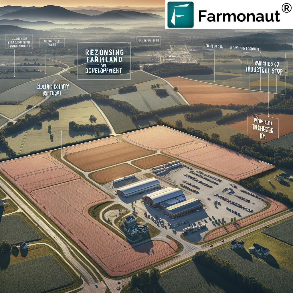
The proposal comes from Winky Holdings LLC, who intend to transform approximately 79 acres of prime farmland off I-64 on Paris Road into a 21,731 square foot truck stop and travel center, complete with fast food outlets and over 150 semi-truck bays. While some in our community see potential jobs, revenue, and increased net profits through payroll tax, others fear loss of rural charm, increased traffic, and irreversible environmental impacts.
This blog explores the 7 key impacts of the proposed truck stop Winchester KY through the lens of local community meetings, zoning and planning issues Clark County faces, potential gains and losses, and wider trends affecting Clark County Kentucky land use.
“Over 50 acres of farmland may be rezoned for commercial use if the Clark County truck stop plan is approved.”
Zoning and Planning Issues: A Deep Dive into Clark County Kentucky Land Use
Clark County is historically known for its vast swathes of prime agricultural land. With more than 90 percent of land in Clark County outside of Winchester zoned for agricultural purposes, our county’s character, economy, and environment are intrinsically linked to farming and rural lifestyles.
Rezoning Farmland for Development: Processes and Controversies
The crux of the zoning debate lies in the proposal to rezone about 79 acres from pure agriculture to PD (Planned Development). This move, adjacent to an existing industrial park, could facilitate large-scale commercial operations—but at what cost?
- Rezoning farmland for development can generate short-term revenue, jobs, and diversify the county’s economic base.
- It also includes risks of losing soil fertility, damaging water quality, and eroding traditional rural values.
- The zoning and planning issues Clark County faces revolve around balancing immediate financial struggles with the holistic impact of development on rural communities.
The Clark County Fiscal Court budgeting process, which has been publicly under strain due to overspending problems, reveals just how tempting a large-scale development can be as a quick fix. However, proper planning, transparency, and consideration of cumulative impacts are non-negotiable if we want to safeguard both growth and tradition.
Community Concerns: Meetings, Opposition, and Hope for Progress
From community meetings on new developments to online groups and local petitions, our residents are not merely bystanders in the Clark County development plan. The proposed truck stop has galvanized neighbors who express both measured optimism and grave concern.
Grassroots Movements, Local Voices
- Facebook groups and neighborhood petitions—spearheaded by local families—underscore apprehensions about noise, pollution, and the possible depreciation of home values.
- Real estate professionals and community veterans like Jan Iverson link the truck stop with “bad development” patterns witnessed elsewhere—pointing to risks of crime, drug activity, and increased human trafficking.
- Residents such as Terry and Theresa Walker express regrets and worry about both their investments and environmental impacts, referencing possible chemical runoff and heavy vehicle emissions.
At planning and zoning meetings, citizens repeatedly call for transparency, sound traffic projections, and the inclusion of sufficient property buffers to mitigate visual and environmental impacts.
7 Key Impacts of the Proposed Truck Stop in Clark County
Let’s break down the seven most critical impacts that the proposed truck stop Winchester KY is likely to have on our community, traffic, zoning, and growth. These impacts have surfaced during community meetings, planning sessions, and fiscal discussions around the Clark County development plan:
1. Revenue Increases and Job Creation
- The project could generate new jobs (estimated 90–100 positions), contributing to payroll tax revenues.
- Significant net profits and additional revenue streams—sales and property taxes—are anticipated for the county.
- This amount of revenue could help address budgeting shortfalls and financial struggles facing Clark County fiscal court.
2. Loss of Agricultural Land and Farmland Growth Challenges
- Over 50 acres of farmland could be converted from agriculture to commercial use. This shift echoes larger questions of Clark County Kentucky land use sustainability.
- Our agricultural base—over 90% of current use—will see real impacts in crop viability and local food networks.
3. Changes in Traffic Congestion and Road Safety
- The proposal’s traffic impact includes a 30% anticipated increase in volume during peak hours, raising traffic concerns Winchester Kentucky and emphasizing the need for thorough traffic studies.
- Concerns about a single entrance to the travel center point towards possible congestion, delays, and increased accident risk.
4. Environmental and Pollution Risks
- Community members have raised issues about noise pollution, air quality degradation, and potential groundwater contamination from truck stop operations.
- Runoff from semi-trucks could introduce chemicals, affecting both farmland and nearby homes.
5. Effects on Property Values and Homeowner Sentiments
- Proximity to a large commercial site with multiple fast food outlets and truck bays could lower residential property values.
- New residents may be deterred from purchasing homes in affected neighborhoods.
6. Societal and Crime-Related Concerns
- Neighbors and community groups have cited anxiety over possible increases in crime, theft, and human trafficking, often associated with high-traffic truck stops nationwide.
7. Changes to Infrastructure and Future Expenses
- Costs for upgrading adjoining infrastructure—such as intersections and roadways—could ultimately fall upon taxpayers down the line.
- County planners must forecast not only short-term revenue, but also future maintenance and public service obligations.
Comparative Impact Assessment Table: Proposed Truck Stop Clark County
| Impact Area | Estimated Change | Affected Parties | Potential Benefits | Potential Drawbacks |
|---|---|---|---|---|
| Community Cohesion | – | Residents, local families | Potential for new gathering spaces, increased amenities | Risk of division, loss of rural charm |
| Traffic Congestion | +30% peak volume | Commuters, local drivers | Potential infrastructure upgrades | Delays, accident risk, emergency access issues |
| Agricultural Land Use | –50 to 79 acres | Farmers, agri-businesses | Revenue diversification | Loss of productive farmland, ecosystem disruption |
| Economic Revenue | +$500K–$1M/yr est. | County government, local businesses | More jobs, higher tax income | Reliance on commercial revenue, seasonal volatility |
| Environmental Quality | Decrease in air/water quality possible | Residents, wildlife | Potential offset if green practices, but unconfirmed | Noise, chemical, and water pollution risks |
| Property Values | –5–15% (projected) | Homeowners, real estate sector | Some may benefit from proximity to new businesses | Most risk lower home resale values |
| Infrastructure & Expense | +$4–10M over 10 years | Taxpayers, all motorists | Long-term upgrades, safer roads (if properly done) | High public costs, delays in implementation |
Farmonaut’s Carbon Footprinting solution
offers real-time, satellite-based carbon emission tracking—essential for sustainable development and compliance with Kentucky state office environmental regulations.
If you need to ensure traceability in local supply chains resulting from new developments, check out the
Farmonaut Blockchain Traceability Product
for enhanced transparency from farm to consumer.
Smart Land Monitoring with Farmonaut: Guiding Responsible Growth
The direction of Clark County development should embrace innovation and responsibility—especially as we face zoning and planning crossroads. Here’s where advanced agri-tech solutions, like Farmonaut’s satellite-powered app, provide vital context for data-driven decision making and comprehensive land use planning.
How Farmonaut Technologies Serve Clark County
- Satellite-Based Crop Health Monitoring: By regularly monitoring NDVI, soil moisture, and vegetation indices, local authorities and farmers can track the impact of development on farmland health over time. This lets us gauge real changes as acreage transitions from agriculture to commercial.
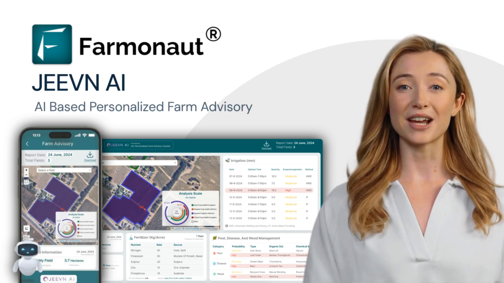
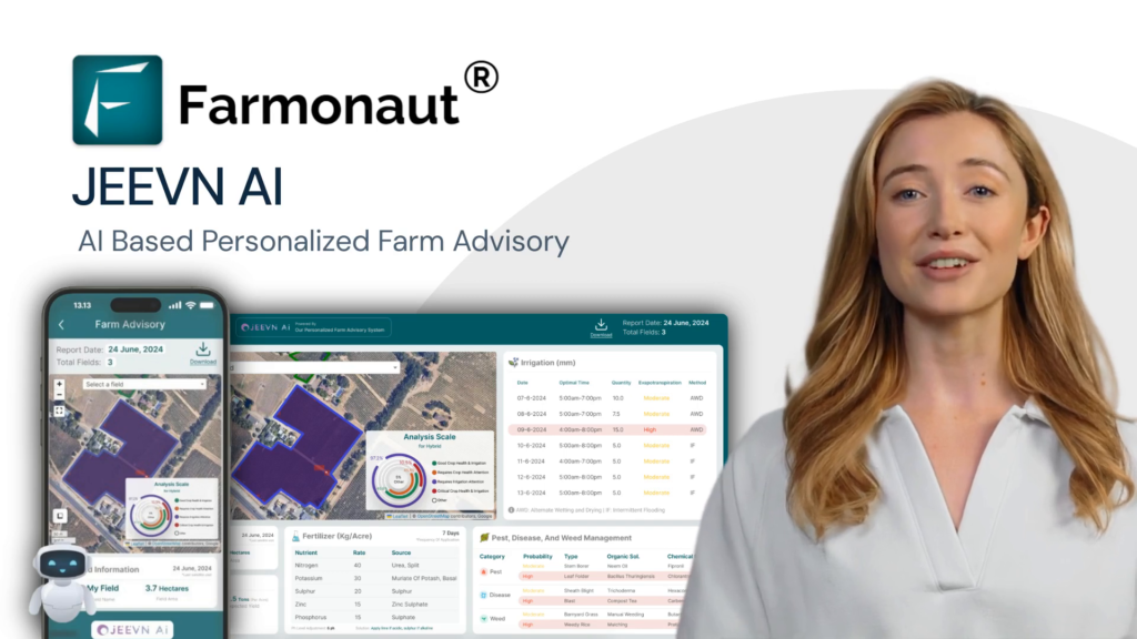
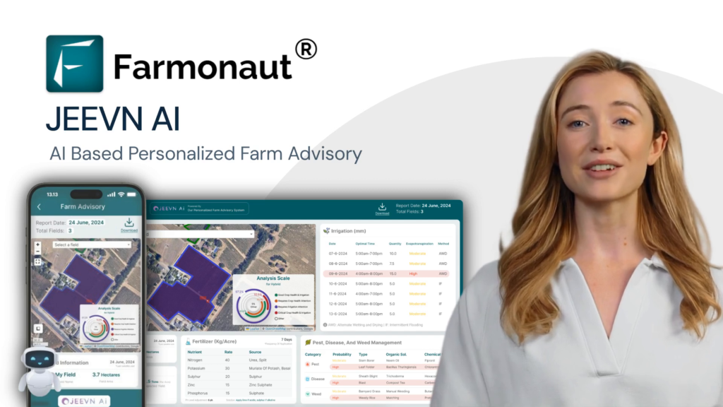
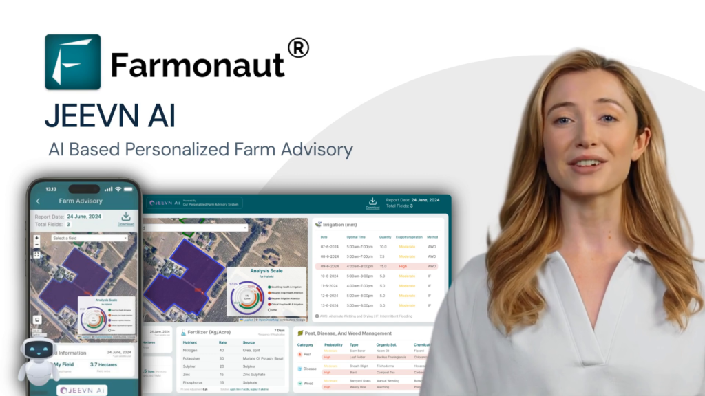
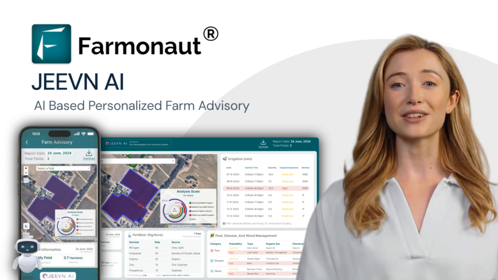
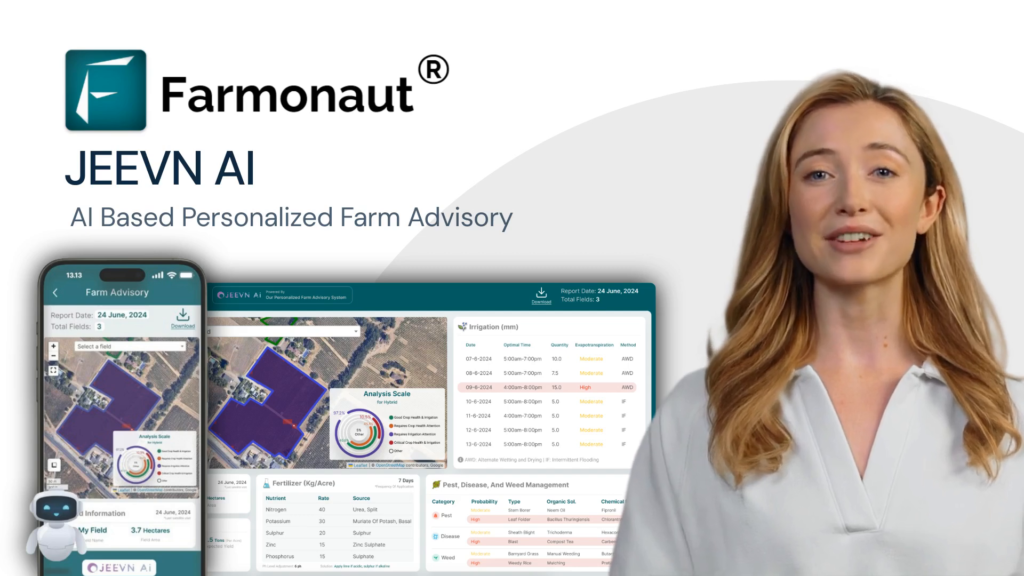
- AI-Based Farm Advisory: Farmonaut’s Jeevn AI provides real-time advisory, helping both planners and growers adapt to environmental shifts, reduce inputs, and avoid unintended consequences of land conversion.
- Blockchain Traceability for Product Origin: As more Clark County land transitions into mixed use, maintaining transparent records helps consumers and businesses trust where products originate.
- Fleet & Resource Management: With more logistics, the need for efficient, environmentally-sound fleet management grows. Explore Farmonaut’s Fleet Management tools for optimizing transport, reducing emissions, and ensuring safety around new industrial park development Clark County.
- API & Integration: Developers or county agencies can connect existing systems with Farmonaut’s technology using their robust satellite-weather API and developer docs.
For managers of large agricultural operations affected by rezoning or those seeking to optimize crop yields around the new project scope,
Farmonaut’s Large Scale Farm Management suite
supports plantation health, resource mapping, and much more—all accessible via mobile, web, or API.
Subscribe to Farmonaut’s full-feature platform for farms, agribusinesses, and government—explore plans below!
Opportunities for Sustainable Growth Using Precision Agriculture
As the Clark County development plan unfolds, keeping sight of both progress and preservation is crucial. Here’s how we can use modern technology to benefit all stakeholders:
- Transparent Zoning Analytics: Use satellite records to document, visualize, and communicate changes in agricultural versus developed land, informing public debate on community forums and at official court meetings.
- Environmental Footprint Management: Implement carbon footprinting tools to monitor and offset new emissions from industrial growth.
- Crop Insurance & Finance: Provide farmers near rezoned parcels with secure satellite data for insurance, using Farmonaut’s Crop Loan & Insurance verification—reducing stress when facing uncertain futures due to new development.
- Traceability: For new industrial park development Clark County and its food-related businesses, ensure product traceability for safety and market trust.
We encourage local residents, farmers, and decision makers to join the dialogue and leverage accessible monitoring tools for true fact-based progress—not simply “growth” by default.
Frequently Asked Questions (FAQ) on Clark County Development Plan and Truck Stop Proposal
Q1: What is the current status of the proposed truck stop Winchester KY?
As of the latest planning and zoning meetings, the project was up for discussion and possible voting. The process requires thorough review of environmental, fiscal, and traffic concerns.
Q2: How much farmland could be affected by the development?
If approved, the Clark County development plan would see approximately 79 acres—mostly farmland zoned for agricultural purposes—reclassified for commercial use, with over 50 acres permanently converted.
Q3: What are the main zoning and planning issues for Clark County?
Key issues include finding balance between economic benefits, preserving community character, preventing environmental harm, and ensuring that growth doesn’t create long-term problems (like traffic or infrastructure burdens).
Q4: Will the new truck stop bring substantial tax revenue to Clark County?
Yes, the project includes modest estimates of $500,000–$1 million in new revenue annually between payroll, sales, and property taxes. However, some of this may be offset by future infrastructure costs.
Q5: How can Farmonaut help with land use changes and responsible development?
Farmonaut offers real-time monitoring solutions (accessible via web and app), carbon tracking, and product traceability, all of which allow local government and stakeholders to manage change with precision, transparency, and accountability.
Q6: How can residents stay involved in the planning process?
Residents should attend community meetings, join local groups, and track updates through official and grassroots communication channels. Reviewing comprehensive land use plans and submitting feedback during public comment periods is also encouraged.
Q7: Where can I get more information on using satellite technology for my farm?
You can
download Farmonaut’s app for Android or iOS above, or explore the large scale management solutions for in-depth analytics and resource planning.
In summary, the future of Clark County hinges on how we manage growth—seeking financial stability through commercial development, but insisting on transparency, community engagement, and the responsible stewardship of our rural heritage. Leveraging advanced tools, such as those from Farmonaut, empowers us to make decisions that are not just smart for business, but right for people and planet.
Join the conversation, stay informed, and use precision data to guide our county’s legacy.


