Farmonaut’s API Success: Revolutionizing Agricultural Remote Sensing
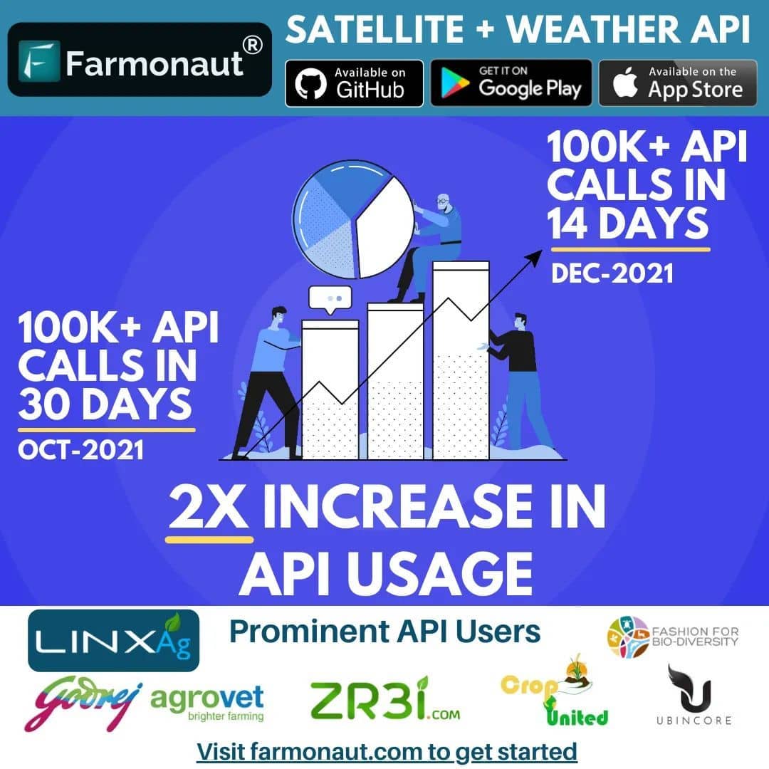
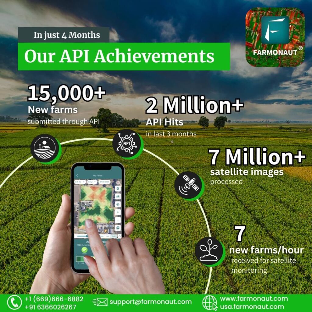
We at Farmonaut are thrilled to announce a remarkable milestone in our journey towards revolutionizing agricultural technology. In just 14 days, we’ve achieved an incredible 100,000+ API hits, surpassing our previous record set in October by reaching this milestone twice as fast. This achievement not only demonstrates the growing demand for our services but also underscores the immense potential of our agricultural remote sensing solutions.
Bridging the Gap: From Grassroots to Corporates
At Farmonaut, we pride ourselves on developing technologies that cater to a diverse range of users. Our solutions are designed to be:
- Accessible to grassroot farmers
- Beneficial for large corporates
- Valuable for innovative startups
This inclusive approach ensures that the benefits of precision agriculture are available to all, regardless of the scale of operation.
Farmonaut® API: Simplifying Custom Agricultural Remote Sensing
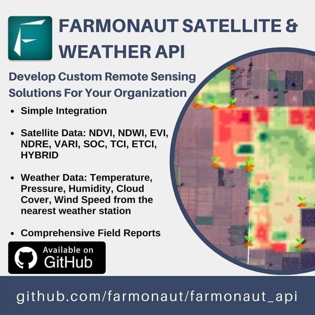
Our API is at the heart of this success story. We’ve made it incredibly easy for organizations to develop their own custom agricultural remote sensing solutions. With just a few API requests, our advanced systems automatically generate a wealth of satellite and weather data for all submitted fields.
Comprehensive Data at Your Fingertips
Through our API, users gain access to a wide array of crucial agricultural data, including:
- NDVI (Normalized Difference Vegetation Index)
- NDWI (Normalized Difference Water Index)
- EVI (Enhanced Vegetation Index)
- VARI (Visible Atmospherically Resistant Index)
- SOC (Soil Organic Carbon)
- TCI (Temperature Condition Index)
- ETCI (Enhanced Temperature Condition Index)
- NDMI (Normalized Difference Moisture Index)
- Evapotranspiration
- DEM (Digital Elevation Model)
- RADAR data
- HYBRID imagery
- Comprehensive weather data
The Power of Farmonaut’s Satellite System
Our satellite-based system offers numerous advantages over traditional drone and IoT-based farm monitoring methods. Here’s a comparison:
| Feature |
Farmonaut Satellite System |
Drone-based Monitoring |
IoT-based Monitoring |
| Coverage Area |
Global |
Limited by flight range |
Limited by sensor placement |
| Data Collection Frequency |
Daily to weekly |
As per flight schedule |
Continuous but localized |
| Initial Setup Cost |
Low |
High |
Medium to High |
| Maintenance |
Minimal |
Regular |
Regular |
| Data Processing |
Automated |
Manual or semi-automated |
Automated |
| Scalability |
Highly scalable |
Limited by equipment |
Requires additional sensors |
Empowering Precision Agriculture
Our commitment to
precision agriculture is at the core of everything we do at Farmonaut. By providing easy access to sophisticated satellite data and analytics, we’re enabling farmers and agricultural businesses to make more informed decisions, optimize resource use, and increase crop yields.
NDVI Analysis: A Game-Changer in Crop Health Monitoring
One of the key features of our API is the provision of
NDVI analysis. NDVI (Normalized Difference Vegetation Index) is a crucial indicator of plant health and vigor. By offering this data through our API, we’re enabling users to:
- Monitor crop health in real-time
- Detect early signs of stress or disease
- Optimize irrigation and fertilization schedules
- Predict yields more accurately
Custom Weather API: Tailored Meteorological Insights
Our
custom weather API is another powerful tool in our arsenal. It provides highly localized and accurate weather data, crucial for:
- Planning farming activities
- Managing irrigation
- Predicting pest and disease outbreaks
- Optimizing harvest timing
This feature sets us apart from generic weather services, offering agricultural-specific insights that can significantly impact farm productivity.
Democratizing Access to Advanced Agricultural Technologies
At Farmonaut, we believe that advanced agricultural technologies should not be the privilege of large corporations alone. That’s why we’ve made our solutions, including
free agriculture satellite imagery, accessible to farmers of all scales.
Benefits for Small-Scale Farmers
- Cost-effective access to precision agriculture tools
- Improved decision-making capabilities
- Increased crop yields and profitability
- Reduced environmental impact through optimized resource use
Advantages for Large Corporates and Startups
- Scalable solutions for managing large agricultural operations
- Integration capabilities with existing systems
- Data-driven insights for strategic planning
- Competitive edge through advanced technology adoption
The Future of Farming with Farmonaut
As we continue to innovate and expand our services, we envision a future where every farmer, regardless of their scale of operation, has access to the benefits of precision agriculture. Our recent API success is just the beginning of this journey.
Upcoming Features and Developments
- Enhanced AI-driven crop recommendations
- Integration with IoT devices for even more comprehensive farm monitoring
- Expanded blockchain-based traceability solutions
- Advanced predictive analytics for pest and disease management
Join the Agricultural Revolution
We invite farmers, agribusinesses, and agricultural technology enthusiasts to join us in this exciting journey. Whether you’re looking to optimize your farming practices, develop innovative agricultural solutions, or simply stay ahead of the curve in agricultural technology, Farmonaut has something for you.
How to Get Started
- Visit our website: Farmonaut App
- Explore our API documentation: Farmonaut API
- Download our mobile app:
- Check out our developer docs: Farmonaut API Developer Docs
Conclusion
The success of our API is a testament to the growing recognition of the importance of precision agriculture and the value of accessible, advanced agricultural technologies. At Farmonaut, we’re committed to continuing our mission of revolutionizing farming practices worldwide, making agriculture more efficient, sustainable, and profitable for all.
Join us in shaping the future of agriculture. Together, we can create a world where technology and nature work in harmony to feed the planet sustainably.
FAQs
- Q: What is Farmonaut?
A: Farmonaut is a pioneering agricultural technology company offering advanced, satellite-based farm management solutions. We aim to make precision agriculture affordable and accessible to farmers worldwide.
- Q: How does Farmonaut’s API work?
A: Farmonaut’s API allows users to make simple requests that automatically generate comprehensive satellite and weather data for submitted fields, including various indices like NDVI, NDWI, EVI, and more.
- Q: Is Farmonaut suitable for small-scale farmers?
A: Absolutely! Farmonaut is designed to be accessible and beneficial for farmers of all scales, from small independent farms to large agricultural corporations.
- Q: What kind of data does Farmonaut provide?
A: Farmonaut provides a wide range of data including vegetation indices (NDVI, EVI), water indices (NDWI), soil data (SOC), temperature indices (TCI, ETCI), moisture data (NDMI), evapotranspiration information, digital elevation models (DEM), RADAR data, hybrid imagery, and comprehensive weather data.
- Q: How often is the satellite data updated?
A: The frequency of updates can vary depending on the specific service and location, but typically ranges from daily to weekly updates.
- Q: Can Farmonaut integrate with existing farm management systems?
A: Yes, Farmonaut’s API is designed to be easily integrated with existing farm management systems, allowing for seamless incorporation of our data into your current workflows.
- Q: Is there a mobile app available for Farmonaut?
A: Yes, Farmonaut offers mobile apps for both Android and iOS platforms, allowing users to access our services on-the-go.
- Q: How does Farmonaut contribute to sustainable farming?
A: By providing precise data on crop health, soil conditions, and weather patterns, Farmonaut enables farmers to optimize resource use, reduce waste, and minimize environmental impact while maximizing yields.
- Q: Is technical expertise required to use Farmonaut’s services?
A: While our API is designed for developers, our user-friendly apps and interfaces make our services accessible to users with varying levels of technical expertise.
- Q: How does Farmonaut ensure data accuracy?
A: We use advanced satellite technology and sophisticated algorithms to process and analyze data, ensuring high levels of accuracy. Our systems are continuously refined and updated to maintain data quality.
For more information about Farmonaut and how we can help revolutionize your agricultural practices, please visit our website or contact our support team. Happy Farming!
 We at Farmonaut are thrilled to announce a remarkable milestone in our journey towards revolutionizing agricultural technology. In just 14 days, we’ve achieved an incredible 100,000+ API hits, surpassing our previous record set in October by reaching this milestone twice as fast. This achievement not only demonstrates the growing demand for our services but also underscores the immense potential of our agricultural remote sensing solutions.


